Istanbul, Turkey 2016
CLICK ON PICTURES TO ENLARGE
Istanbul 2016
My trip was to be a long weekend with three complete days in the Istanbul area. For me Istanbul has always conjured up an image of a dramatic and exciting city at the junction of Europe and Asia, thronging with secret agents and spies. This was reinforced by Wikipedia, which lists 89 films and hundreds of books as having been at least partly set in the city. It has long been of great political and religious significance as a leading base of the Ottoman Empire, to say nothing of the improbable fact that there are four car museums in the area.
For the first night I reserved a room at the Hilton Garden Inn Atatürk hotel, which was about two miles from the airport, and I had hoped to arrive before dark. By the time I got to the car rental office it was dark, which makes it more difficult to check the car for defects. The booking was made through a broker highly recommended by Which? called Zest Car Rental, who offer a selection of providers at various prices. I have never believed in stinting in this respect because I think it is why so many people have trouble, but in this case I chose a Hyundai Accent from one of the cheaper local firms called Erboy. They always reserve the right to substitute what they consider to be an equivalent car and I finished up with an Opel Corsa (Vauxhall Corsa at home), a car that I particularly dislike. An immediate problem was that the driver's seat was too low and not adjustable for height, which I solved by making a cushion out of the spare clothes which were in a strong plastic bag in my case. Far from ideal, but I was not going to be driving any great distance and have never bothered much about ironing anyway.
After studying several maps of Istanbul I realised that the local road system is extremely complicated, with a vast number of one way streets and mini Spaghetti Junctions everywhere. The Turkish language is not at all easy, and street names are hard for a non-speaker to remember. As usual I had street level maps in my tablet and phone, which proved to be absolutely indispensable, as they can be expanded to show junction layouts in great detail. Even so I managed to get lost in the two miles from the airport to the Hilton Garden Inn Atatürk Hotel.
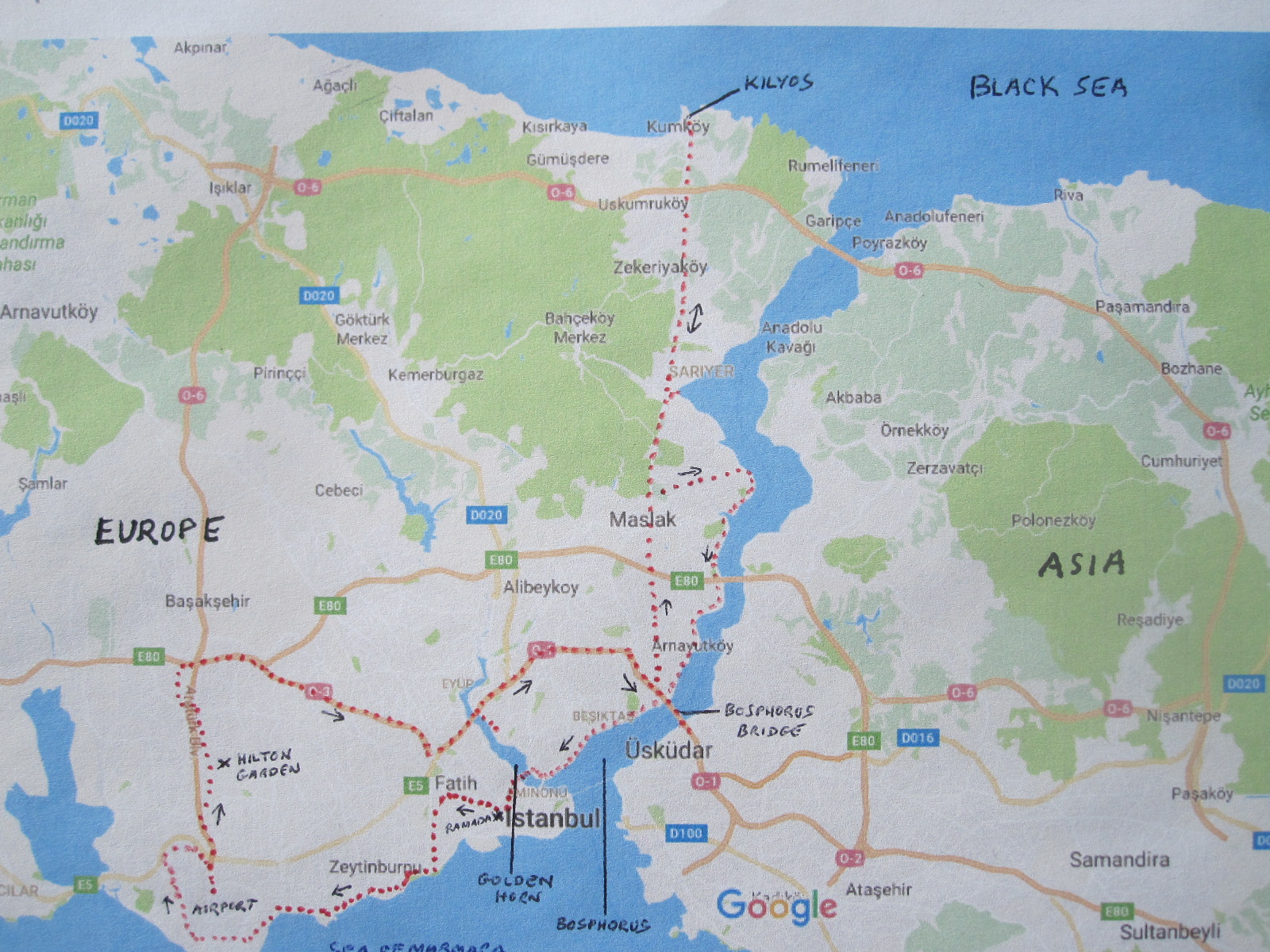
Red dots show route
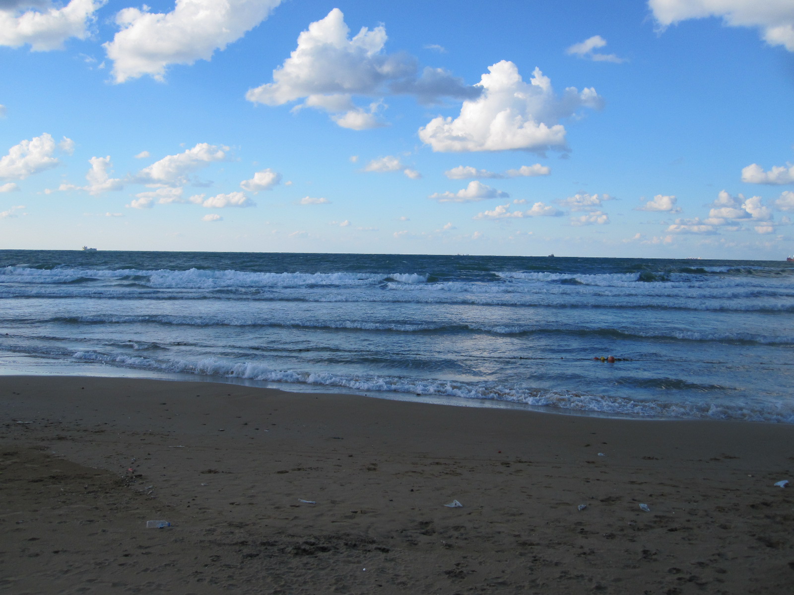
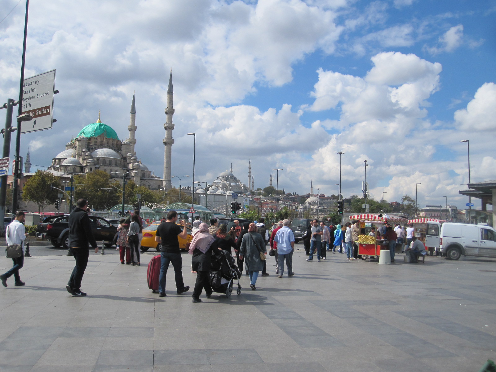
The next morning I could fully appreciate the magnificent view from my room, which was on the 14th floor. Somehow I had imagined that Istanbul would be flat, but in fact it was built on a range of hills, divided by two major waterways. One is a wide estuary called the Golden Horn leading into the Bosphorus Strait, which runs northwards from the Sea of Marmara through to the Black Sea, thereby separating Europe from Asia (see map). About two thirds of the city is in Europe and one third in Asia, the total population being over 14 million, which is greater than any other city in Europe. Despite its size, it is not the capital of Turkey, that honour going to Ankara, over 200 miles away.
My first port of call was to be the Mehmet Arsay Classic Car Collection, which after a great deal of research I had worked out was on an industrial estate in the north of the city, but I had serious doubts whether it still existed. It appeared to be at the end of a long narrow shopping street where I stopped at a café for breakfast because I could not afford the hotel’s prices. No one in the café spoke English and I finished up with a pastry filled with cold meat instead of the jam that I expected. Just like France.
The industrial estate was large and modern with no signs and the man in the gatehouse did not speak English. However, when I showed him the address of the museum there was a glimmer of understanding and after speaking to someone on the phone he directed me to the far end of the estate road, where I could just see a man waving his arms. He led me to the museum building, which only had a tiny nameplate on it and guess what – he spoke no English at all, but was clearly passionate about the exhibits in his charge. They were one man’s personal collection, about eighty cars, fifty per cent of them American and all in absolutely perfect condition. There was no charge for the visit, and despite the language problem the curator and I seemed to part as very good friends, typical of the camaraderie that exists in the classic car world.
My next stop was to be the Rahmi Koç Museum, a large transport museum about six miles away, close to the eastern bank of the
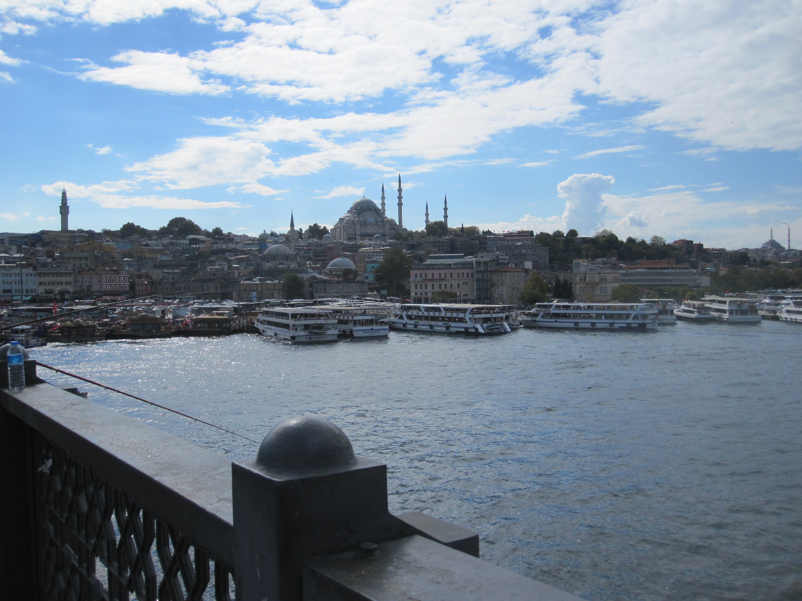
Golden Horn view
Golden Horn. Much of the route was on an elevated motorway, which afforded marvelous views of Istanbul’s astonishing skyline with mosques and other notable buildings in all directions. The bridge over the estuary consisted of several separate carriageways, and I shall never know how I managed to get into the correct one for the slip road the other side, but somehow it worked out. The traffic was fairly heavy and the general standard of driving fell well short of that in Britain, although I have seen much worse elsewhere.
Apart from a large number of motor vehicles, including some Turkish cars, the museum had trains, ships and aircraft. In the main car hall was a photographer taking pictures of a just married couple still in their wedding finery. The bride was draped in various poses across the cars and the absence of any other members of the wedding party suggested that it was a staged photographic session for some publicity purpose.
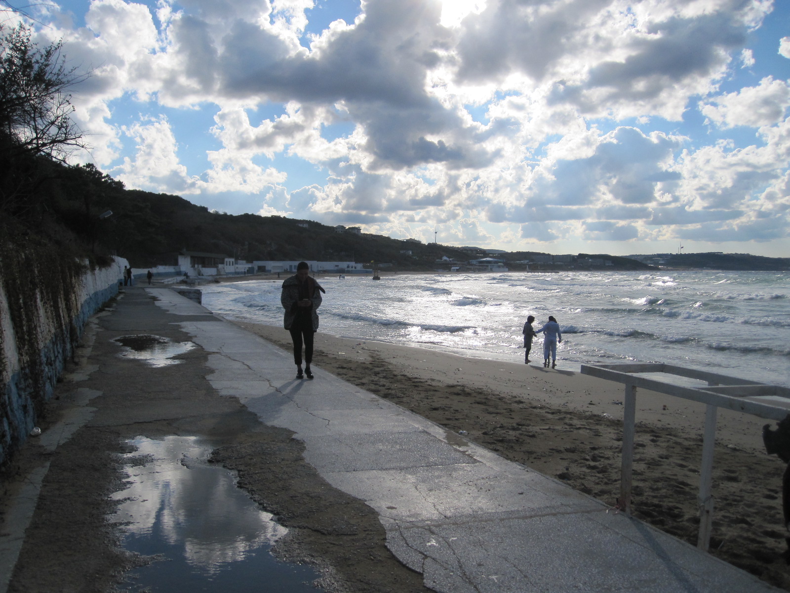
My night stop was to be in a small resort called Kilyos on the Black Sea, about 17 miles north of Istanbul. This might not sound very far, but the route was quite complicated and I expected it to be slow going. From the museum I planned to drive about 4 miles eastwards on the motorway and then turn northwards and take an ordinary road through a town called Maslak. Unfortunately I missed the turning on the motorway for Maslak, and found myself heading inextricably at 70mph for the famous Bosphorus Bridge, the main road link between Europe and Asia. The bridge has an electronic toll system, and the penalties for non-payment are said to be quite severe. I had asked the people in the car hire office about this, but due the language problem I was still not clear about the procedure, and whether the car had a transponder. Anyway, as I hurtled into Asia there was nothing I could do but take the first exit, which led me round in a circle and back on to the bridge in the opposite direction! This must have been one of the briefest stays in Asia that anyone has ever had, although there were some good views from the bridge. At the time of writing no one from Interpol has knocked on my door to demand payment.
Kilyos Promenade
Kilyos
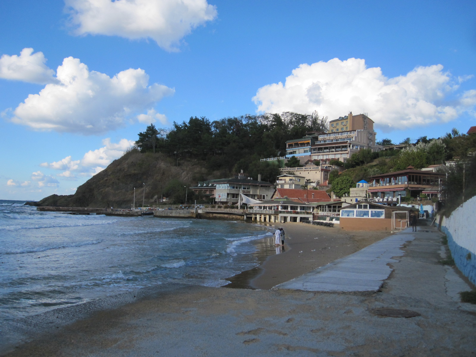
As expected, the route through Maslak up to a town called Sariyer was slow going, but once clear of the built-up area the scenery was quite pleasant and I reached Kilyos late in the afternoon. The Yuva Hotel was not very good, and had few other guests. The whole resort was extremely quiet and I think there were more restaurants than visitors. The short promenade and beach area had a run down appearance with cracked concrete and dilapidated buildings, which suggested a long term decline rather than just the end of season effect.
Black Sea
The plan for the Saturday was to drive back to Istanbul along the west bank of the Bosphorus, calling in at a car museum just south of Sariyer, and reaching the Ramada Grand Bazaar Hotel in the middle of the city by early afternoon in time to go to the Bazaar, which is not open on Sundays. The museum was absolutely superb, in the form of a traditional American diner, with dozens of working neon signs, petrol pumps and a collection of iconic cars, all in perfect condition. Everything was spotlessly clean, and the only member of staff who spoke English told me that it was, again, all one man’s property. It was quite obscurely situated in the middle of a maze of narrow suburban streets and has limited opening hours, but there were a few other visitors.
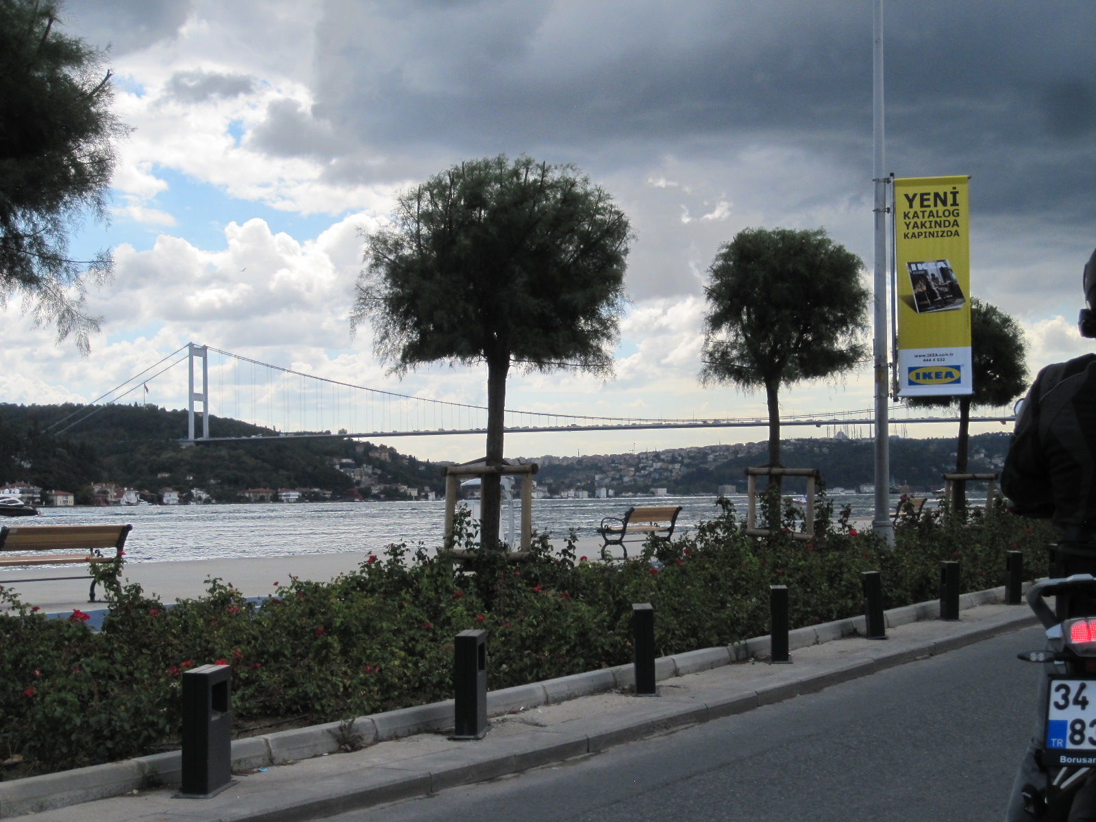
Bosphorus Bridge
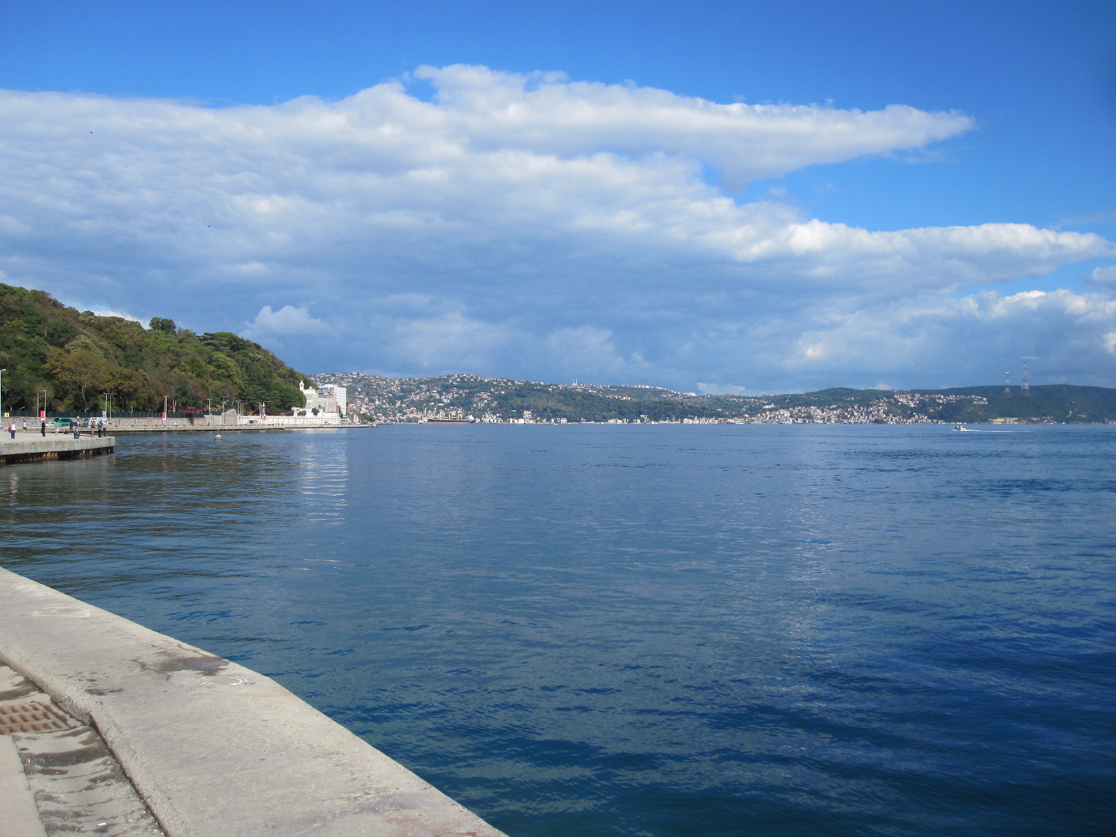
Bosphorus Strait
The road alongside the Bosphorus passed through a number of busy resorts and under the Bosphorus Bridge, with a scenic backdrop the other side of the strait. Eventually and inevitably I hit the city centre traffic on the approach to the old bridge over the Golden Horn and it became very slow going. All the books advise against driving in central Istanbul but I got to within a short distance of the Ramada without too much trouble. Then the problems started. The hotel was in the middle of a network of mainly narrow one-way streets, some of which were blocked off with rising bollards. The streets that I could get into were obstructed by vehicles loading and unloading, with rampant double-parking everywhere. After about an hour I managed to park about 200 yards from the hotel and asked a taxi driver how I could get to it. He said “You can’t, the streets are blocked off from 10.00am to 8.00pm. We can’t even get through with taxis”. It was hard to believe such idiocy, but when I walked to the hotel they confirmed what he had said.
On the booking form the hotel claimed to have “private parking on a site nearby”, which is the reason why I chose it. It turned out that this parking was also within the closed off area, and they sent a man out with me to find another car park. After about a further hour of struggling around the congested streets we gave up and I had to leave the car in the street until 8pm. The hotel people were embarrassed about this situation and gave me an upgraded room, free breakfasts, and free parking (when I could get to it) as compensation.

Bazaar Gate
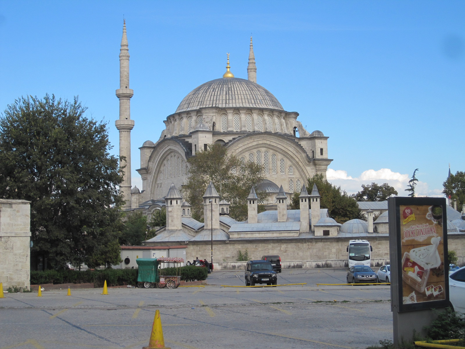
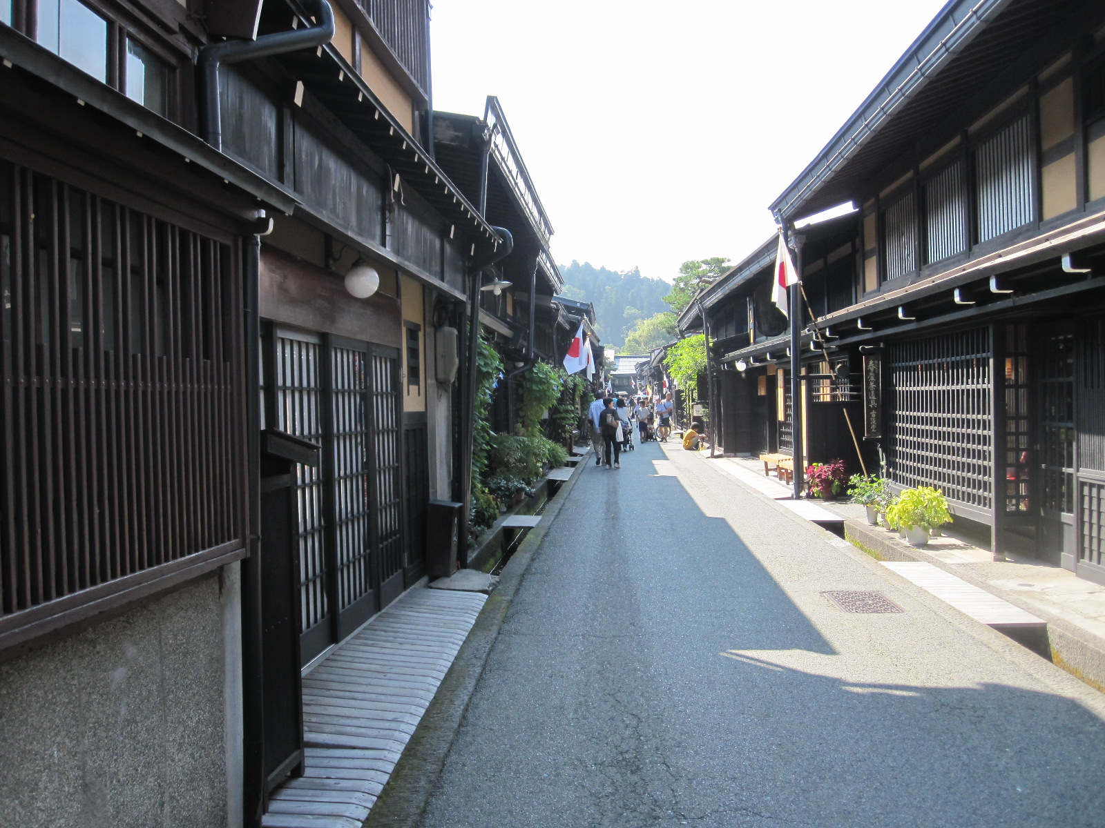
After all that I still had time to walk to the Grand Bazaar, which was open until 7pm. The Grand Bazaar dates from 1455 and is one of the oldest and largest covered markets in the world, incorporating 61 streets and over 4000 shops. It receives between 250,000 and 400,000 visitors daily and in 2014 was listed as number one among the world’s most visited tourist attractions. As it is within the old walled city it can only be entered through massive gates that are closed outside trading hours.
The streets are narrow and pedestrianized with some hills actually inside the Bazaar. All the usual merchants are there, offering food, clothes, and household goods, with areas devoted to jewellery, silver and rugs etc. The famous quality brand names are in evidence, but at prices that are not on the same planet as those for similar articles in London or Paris, and it is only possible to draw one conclusion. Obviously there are a vast number of shops selling the same things, and competition is intense, with haggling being an essential part of the purchasing experience. Some distance away is a separate Spice Bazaar that I did not get to.
It was dark when I got back to the hotel and the bollards were down, so someone came with me to collect the car and put it in the proper underground car park nearby, where I left it for two nights.
Blue Mosque interior
Blue Mosque
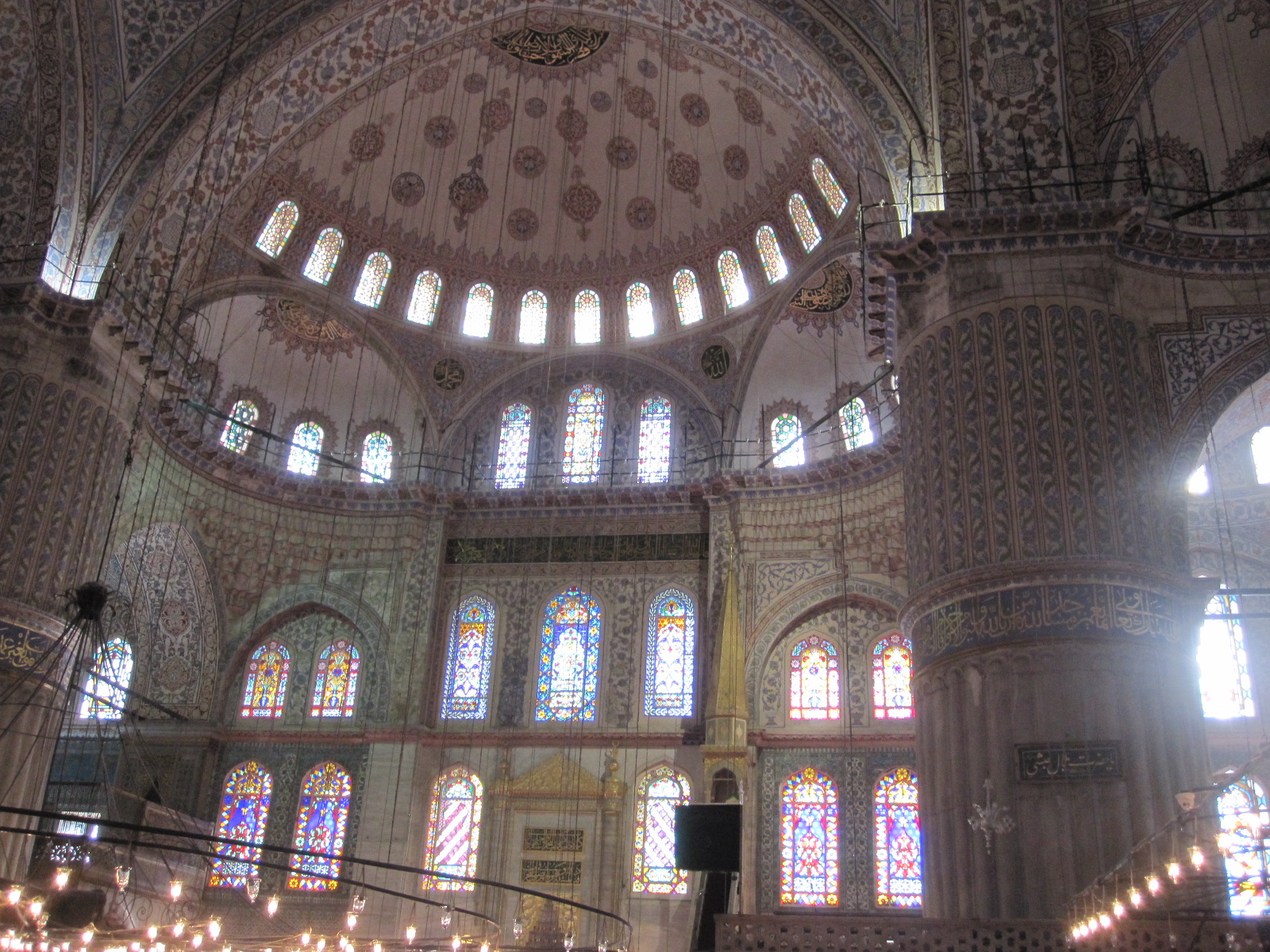
I had reserved the next day, Sunday, for sightseeing on foot. Fortunately the weather was perfect as I walked along the main tram route to the district called Sultanamet which contains three of the most important sights including the Blue Mosque, which is not the largest in Istanbul, but is said to be the most photogenic. Everywhere you look there are mosques, and the skyline is dominated by them, but I was astonished to learn that there are actually over 3000 in the city, though not all are still active. Many mosques are not open to non-Muslims, and the Blue Mosque was the first one I had ever been into. Subject to certain rules regarding dress (e.g. no shorts or sleeveless tops, shoes must be taken off) it is open to everyone. It is one of the most popular tourist attractions, and I was surprised to find that at 10.00am on Sunday morning there was no queue, which might be a consequence of foreigners being deterred by the coup. Carrying my shoes in a polythene bag (provided, with no 5p charge!), I entered through a side door reserved for visitors.
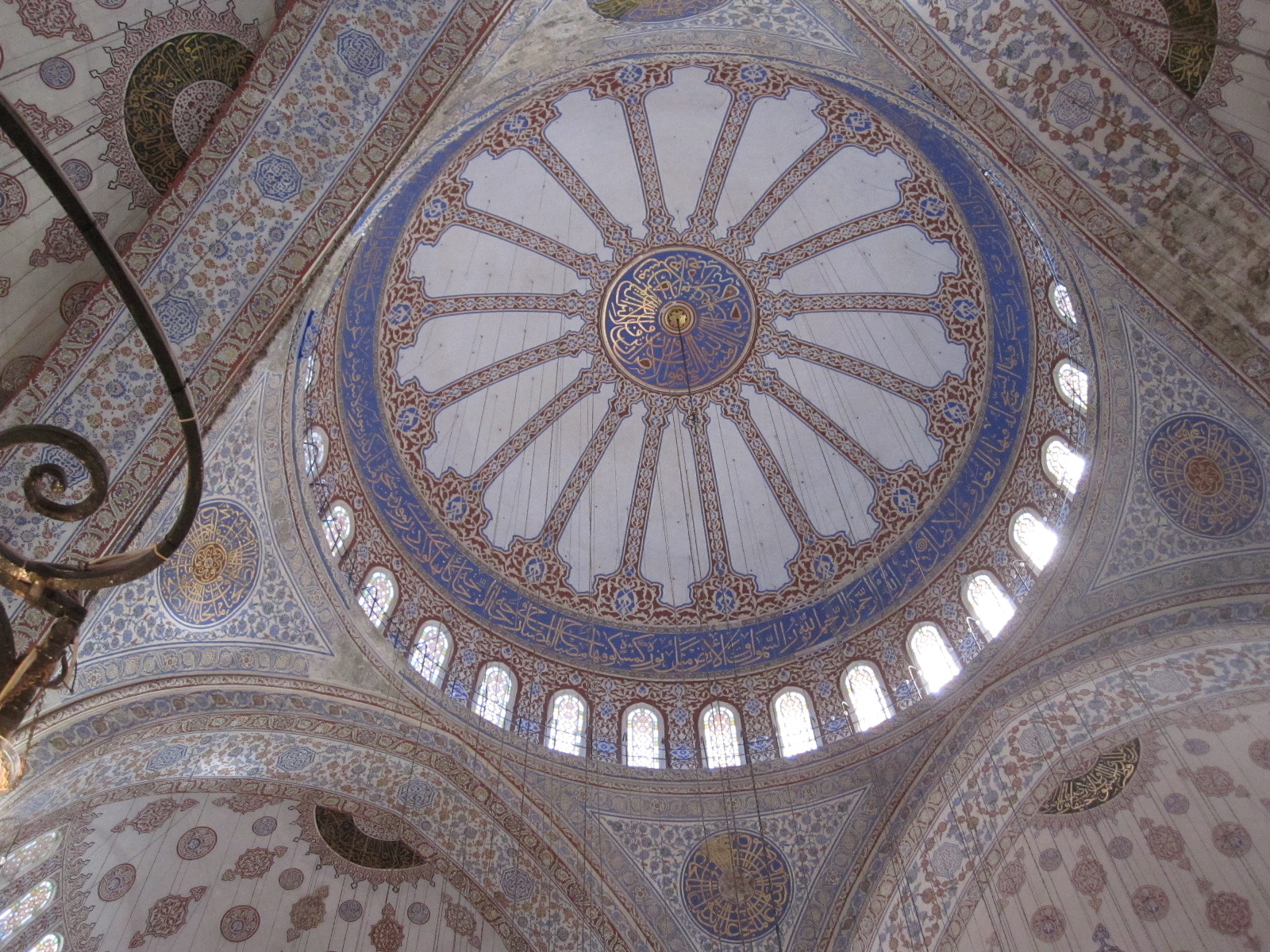
Blue Mosque dome
The interior was beautiful without being extravagant or opulent in the way that many great buildings are, being decorated with a vast number of tiny tiles, predominantly having a bluish tint, hence the name. Stained glass windows were very much in evidence, reaching high up towards the dome, which was lined with the tiny tiles. As always in such buildings, one can only wonder at how people carried out such labour-intensive work in what must have been dangerous and difficult conditions.
The floor was carpeted and there was very little furniture, appropriate for the style of prayer in the Muslim faith. Photography was allowed and entry was free.
Blue Mosque interior
On a par with the Blue Mosque was the next building on my itinerary, the Aya Sofya. Originally built as a church by Emperor Justinian in 537 and converted to a mosque in 1453, it eventually became a museum in 1934. I did not go in, but externally I thought it was just as photogenic as the Blue Mosque.
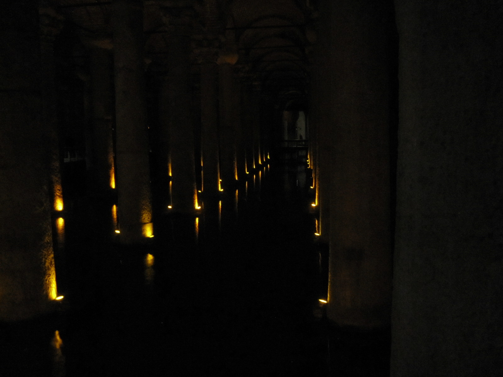
On to the Basilica Cistern, a huge subterranean reservoir built in 532. It has 336 stone columns, all 9 metres high, many taken from ruined temples elsewhere and standing in shallow water which is home to carp and goldfish. The whole place is dark with discrete orange lighting and on entering from bright sunlight it is difficult to see anything for a while. The photographs, taken without flash, give a realistic representation of the light level when seen from the elevated walkways. Major items of interest are enormous stone Medusa heads at the foot of two of the columns. They were deliberately placed with one is on its side and the other upside down, although no one knows why.
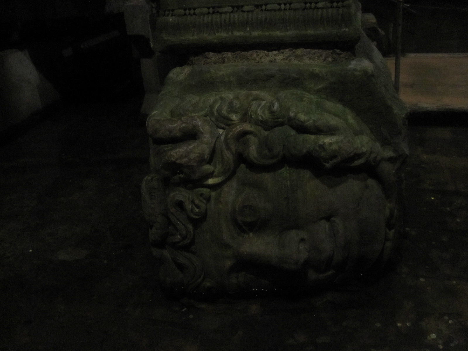
Medusa Head
Basilica cistern
As I walked through the streets towards the waterfront I was accosted several times by men who either asked me where I was from or just addressed me in German. They always started off very chatty, saying that they had friends in Liverpool or somewhere when they realized that I was English, but worked their round to asking me to go to their carpet shop. After a while this becomes very annoying, although it was nothing like as bad as in Morocco or Cuba.
The waterfront, in the area where the Golden Horn runs into the Bosphorus, was exactly the sort of exciting place that I had imagined Istanbul to be. The long quayside was thronging with people, against a backdrop of frantic activity by ferries and river cruisers, mainly connected to various ports on the Golden Horn and the Bosphorus, but some going as far as the coasts of the Black Sea and Sea of Marmara.

Galata Bridge fishing
Waterfront
I walked over the Galata Bridge across the Golden Horn to Beyoğlu, the northern part of the city centre. The bridge was lined on both sides with fishermen who, despite the reputed pollution of the local waters, seemed to be doing quite well with their catches. The view from the bridge was superb in all directions, with hillsides covered with densely packed ancient buildings, including innumerable mosques and, of course, that unforgettable skyline.
Leading up the steep hill from the bridge is the main street of Beyoğlu, called İstiklal Caddesi, lined with imposing 19th century buildings, many of which are now shops and cafés. This street went on and on, which I simply could not, and eventually I turned back and returned to the waterfront.
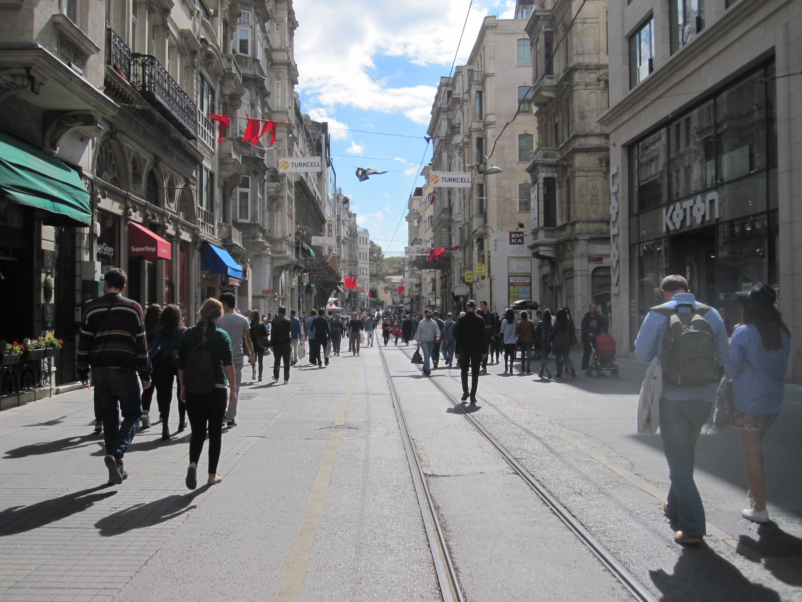
Istiklal Caddesi
My route back to the hotel took me, perhaps unwisely, through an area of deserted streets past the closed Grand Bazaar, where I could have been mugged with no hope of anyone coming to my defence. It is all too easy to wander into such situations, and I resolved, as I have done many times before, to be more careful in future.
On the way back to the airport the next morning I took the main road along the coast of the Sea of Marmara, with its hectic traffic and empty beaches. Returning the car was a chaotic procedure, with the car park barrier refusing to lift when I arrived, and no one in the Erboy office, but I eventually sorted it out.
A few points about Istanbul.
Far fewer people than I expected spoke English, but many spoke German, probably because a lot have worked there
Public toilets are fairly easy to find, although some are not exactly salubrious.
The city centre congestion is dreadful, largely as a result of bad driving and poor traffic management. Light controlled junctions are continually blocked by crossing traffic and double-parking is rife.
Accommodation and restaurant meals are not particularly cheap and overall I thought it was more expensive than some other southern European countries.
Not long after my visit thousands more government employees and many journalists were dismissed, indicating that the country might not be as stable as it appears on the surface.
India 2016
CLICK ON PICTURES TO ENLARGE
INDIA 2016
Chaotic, filthy, dangerous, everything I had hoped for.
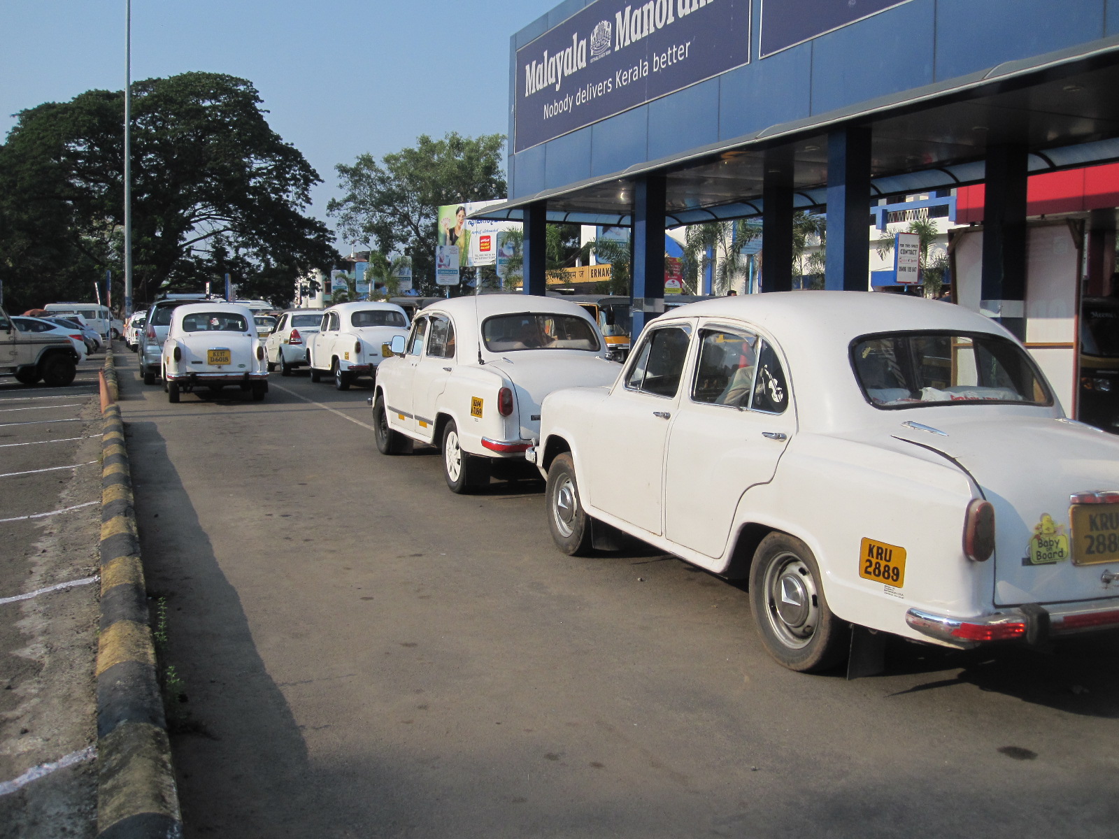
Some people have been to over 100 countries. All I have managed is a mere 45 and I have always thought I could not call myself a proper traveller until I had been to India. In particular I wanted to experience driving in India first hand, and some people said it would not be possible to apply my usual holiday format to the country, i.e. booking flights and hotels and then travelling around alone by self-drive hire car. It is not uncommon for people to do motorcycle tours on their own, but self-drive car hire is very difficult to arrange and the people I knew who had been to India were aghast at the idea. The more usual procedure is to hire a car with driver, which did not appeal to me at all.
The guide books all have pages about potential health problems, and everybody I spoke to at home seemed to know somebody who had been to India, caught some ailment, and never been the same again. It was slight consolation that at the age of 77 the length of time for which I would never be the same again would probably not be all that long. At the very least I expected to have the famous 'Delhi Belly' which practically everyone from Britain gets, but on the advice of a friend I decided not to eat meat. The books also make a big issue of the need to avoid insect bites, especially with regard to mosquitoes, although the area I was going to is considered to be low risk for malaria. The best repellants are those containing DEET, which I find very unpleasant to use but I took an ample supply with me and also got my vaccinations updated. It is generally considered that it is not safe to drink the tap water unless you can boil it and if you buy branded bottled water it is important to check the seal, because it is not unknown for empty bottles to be refilled with tap water. I took some water purification tablets, just in case, but where possible made tea or coffee in my room with boiled water.
For my base I chose Cochin (Kochi), Kerala, in the south eastern corner of India because there were cheap convenient flights with Emirates from Gatwick, and it is a small city compared to Mumbai or Delhi. My flight arrived at Cochin at about 8.00am, and I was surprised to find how well organized the airport was. I was expecting to be besieged by taxi drivers and money exchange touts, as Indian currency is not convertible, which means that you have to change money on arrival. In fact there were several bureau- de-change and a counter for pre-booked taxis within the non-public part of the airport, which means that everything was sorted before I reached the exit. The pre-booked taxi voucher was for a particular car and an Indian bloke from Brighton helped me to find it in the crush outside. The 20 mile journey to the Grand Hotel was an opportunity to study the driving, which I felt that I would be able to cope with, and contrary to what I had expected the driver was actually quite good. Nevertheless, in the back of the car, with the bumpy roads, I was starting to feel sick by the time we got to the hotel which confirmed that the 'car with driver' option was not for me.
In the past I have generally been good at estimating in advance the amount of ground I would be able cover during my stay in foreign parts, but India was too much of an unknown quantity to risk booking any accommodation apart from the first two nights and the last night.
The Grand Hotel Ernakulam, which I had chosen from Booking.com, was traditional and not very smart, but turned out to be used by some British tour operators. After 3 or 4 hours sleep I ventured out for a walk round and was immediately struck by the intense heat, which was to become an issue affecting my activities for the whole trip. I was expecting it to be tolerably hot, maybe around 30°C (86°F), but in fact excepting in the mountains it was well in excess of that. On the day I was in Calicut (Kozhikode) it was 38.5°C (100.7°F), the highest temperature ever recorded there, and we are talking about Southern India. Under such conditions I cannot walk very far and am stuck either in my air-conditioned accommodation or air-conditioned car.
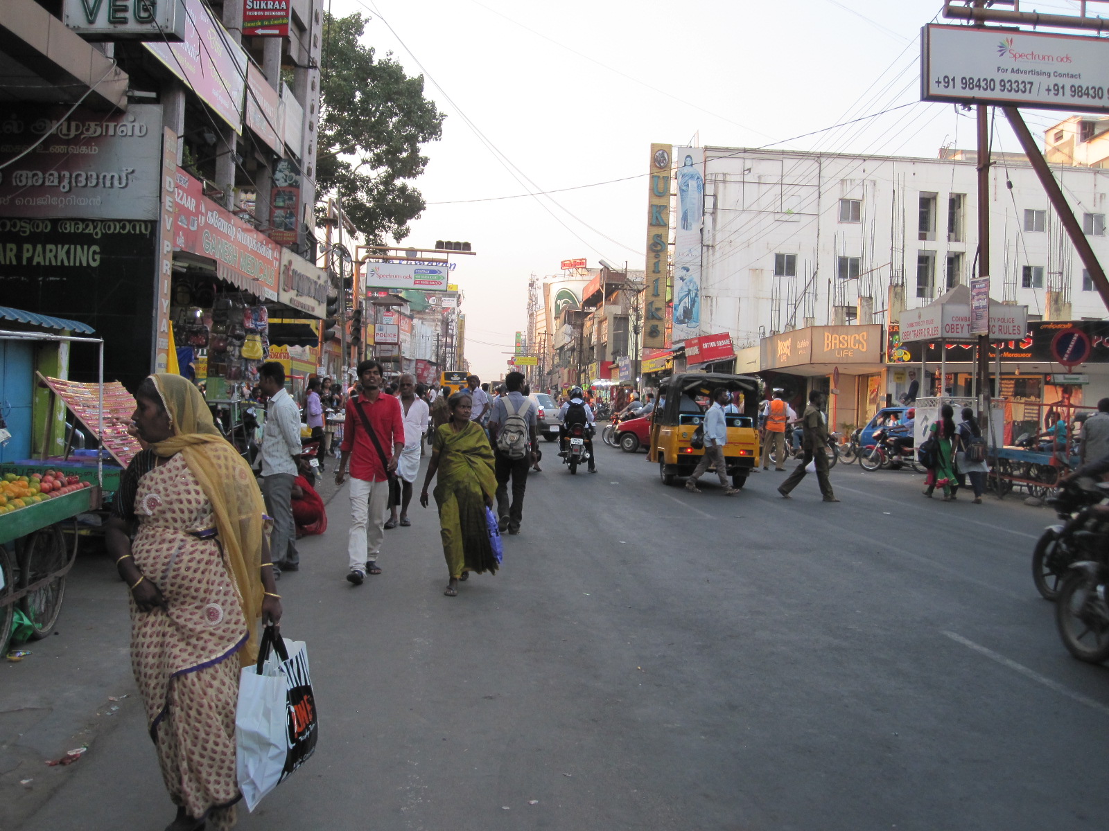
MG Road
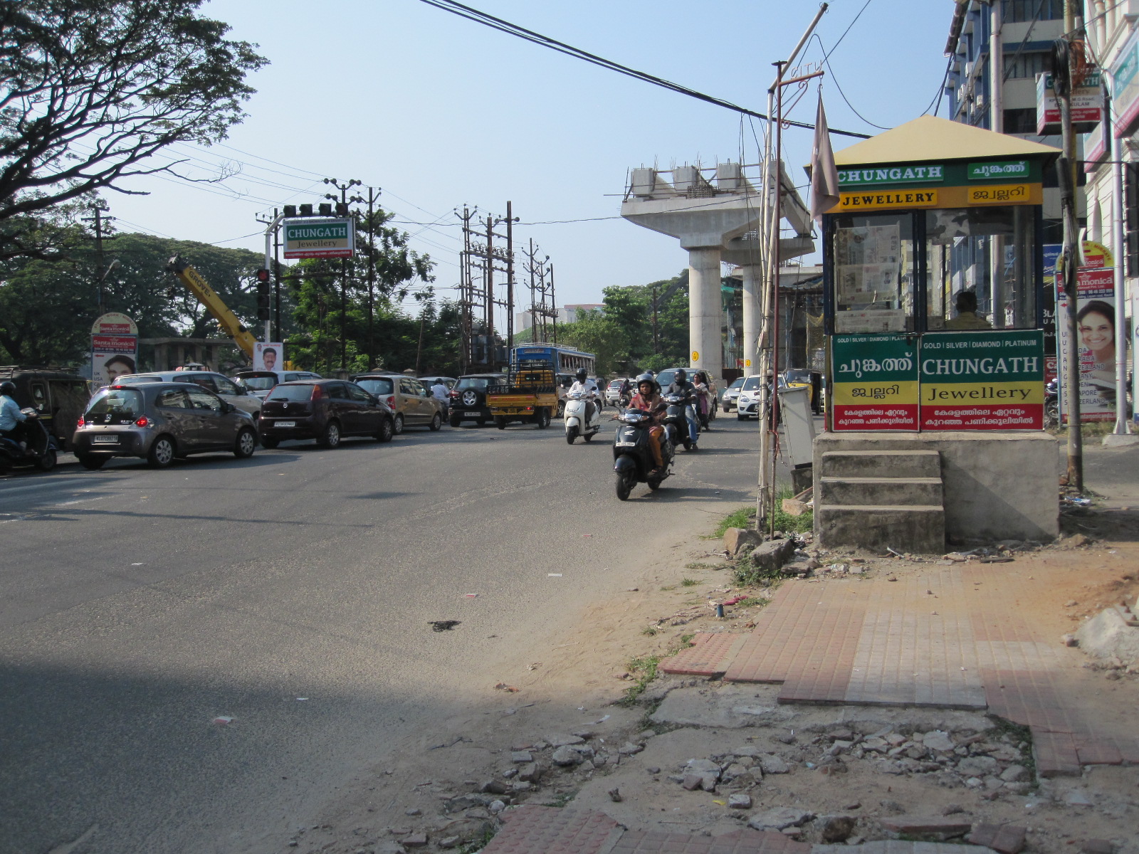
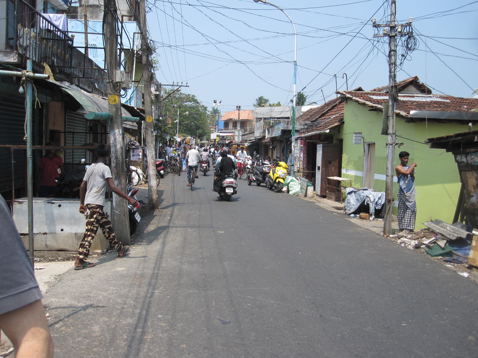
Ernakulam is the commercial centre of Cochin, and the hotel is in MG Road, the main artery running through the town. I thought it was rather strange that an Indian town would have its main street named after an old English car company, but quickly discovered that MG stood for Mahatma Gandhi, and it seems that every town in the country has an MG road. It was all rather scruffy, with lots of rubbish around and difficult walking on the rough pavements, which is what I had expected. Just out of interest I wandered through to the main railway station to find the platforms crowded, although there were no people hanging on to the sides or roof of the carriages.
Fort Cochin

Smart ferry
The next day was Sunday and I had planned to spend it looking round the area, with a ferry trip across the harbour to Fort Cochin, a former British army base. Luckily the ferry terminal was easy walking distance from the hotel and it was only a short wait before the next sailing, which, judging by the look of the vessel, might well be its last. I could see the Daily Telegraph headline 'India Ferry Sinks - 60 dead'. At least there were plenty of lifejackets, about five for each person on the ferry, so I was planning to tie some together to make a raft as the boat went down. Like the local buses, it had no glass in the windows, so it would be easy to get out.
Fort Cochin street
At Wilmington Island, a naval base, the ferry stopped briefly at a jetty in front of a row of big colonial-style detached houses, before continuing to Fort Cochin. As soon as I set foot on land I was surrounded by tuk-tuk drivers wanting to show me the sights. I insisted that I wanted to walk but one of them followed me along the road until I turned off into an alley too narrow for his vehicle. Fort Cochin is a maze of narrow streets and alleys with a long main street lined with small shabby shops and cafes. In one place I came across a bowl of rice placed on the edge of the pavement, and as I approached a large rat came out of a hole at the side, nibbled at a few grains of rice, and ran back into the hole. I could only think that either the rice was poisoned or the idea was to attract the rats out into the open where cats could get them. In one
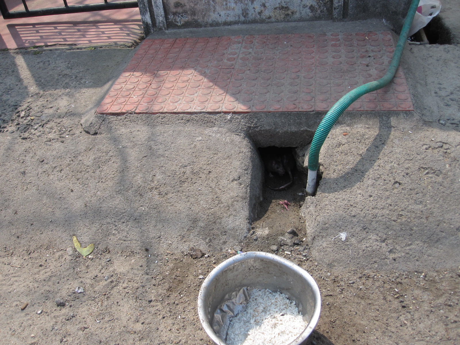
Click twice, look at hole
dingy cafe I asked for a cup of coffee which proved to be so strong and sweet as to be almost undrinkable, and this turned out to be the norm for coffee in Indian cafes.
The intention was to walk along the main street to the beach, and follow the shore back to the ferry terminal, but unfortunately I turned the wrong way when I left the café. By the time I discovered my mistake I did not have enough energy to walk the whole length of the street again, so I hailed a tuk-tuk and said to the driver “Straight to the beach, please”. Totally predictably he started to take me on a tour of the sights, which weren’t very interesting. Every time he started to deviate I said loudly “To the beach please”, and eventually we got there.
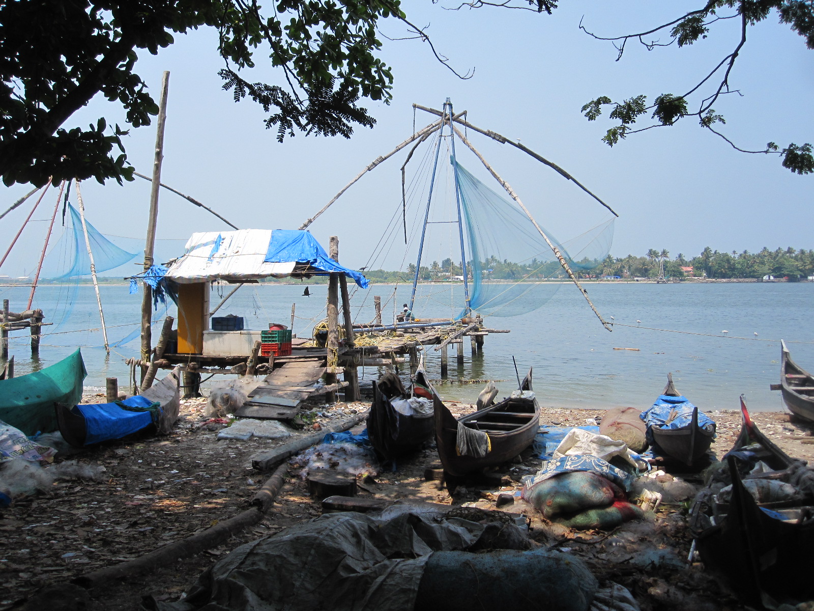
Chinese fishing net
This was definitely not a Blue Flag beach, with quite lot of rubbish around and no one in the water, despite the heat. It is likely that the water was too polluted from the surrounding residential and industrial areas. A stretch of the beach was given over to fishing activity, including the Chinese fishing nets, for which Cochin is famous. These consist of nets up to 20m across suspended from wooden beams so that they can be lowered into the water, counterbalanced by heavy stones attached to ropes. It takes several men to operate each net, and although they are a major tourist attraction the long term viability of such a labour intensive process is in doubt.
After surviving the ferry trip back to Ernakulam I walked along the busy promenade on the way back to the hotel. All day I had seen only a handful of Westerners, which I found surprising considering that it is supposed to be a tourist area.
The first thing I did the next morning was to carry out a brief health check. Did I feel ill? No, I felt fine. Insect bites? A few small ones, and one big inflamed lump on my thigh with a red streak about two inches long running away from it. This would have to be watched, as I thought it was possibly a sign of infection or blood poisoning.
Preparing to face death on the road
Good car for India
My car was due to be brought to the hotel at 10.00am and I was looking forward to it with some trepidation. As previously mentioned, self-drive hire is very difficult to arrange in India, because most of the big international companies have given up doing it due to bad experience, and now only offer car with driver. Eventually I had found on the internet a firm called Kerala Self Drive Car Rentals who were prepared to do it and seemed quite good to deal with. They would not accept a credit card as security, and required a cash deposit equivalent to $1000 (£720 at the time), which needed a certain amount of trust.
At 9.30am Mr.Manu arrived in the hotel car park with a silver Hyundai I20 Sportz in quite reasonable condition. He insisted that I take photographs of all the minor defects, which took a while, but the car had good tyres and all the essentials seemed to be in working order. He required copies of my passport, Indian visa, driving licence, international driving permit and payment for the rental as well as the cash deposit. Nevertheless, I felt that he was risking more than I was.
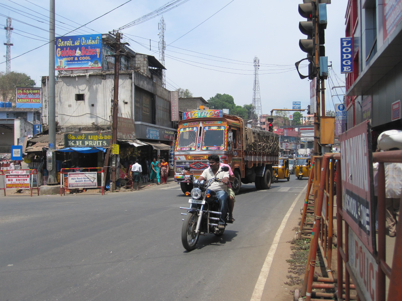
Before going any further I should say a bit about the make up of traffic in India. Notionally Indians drive on the left, but notionally is as far as it gets. In reality they drive all over the road, and you meet people coming towards you on your side of the road much of the time.
Bikes!
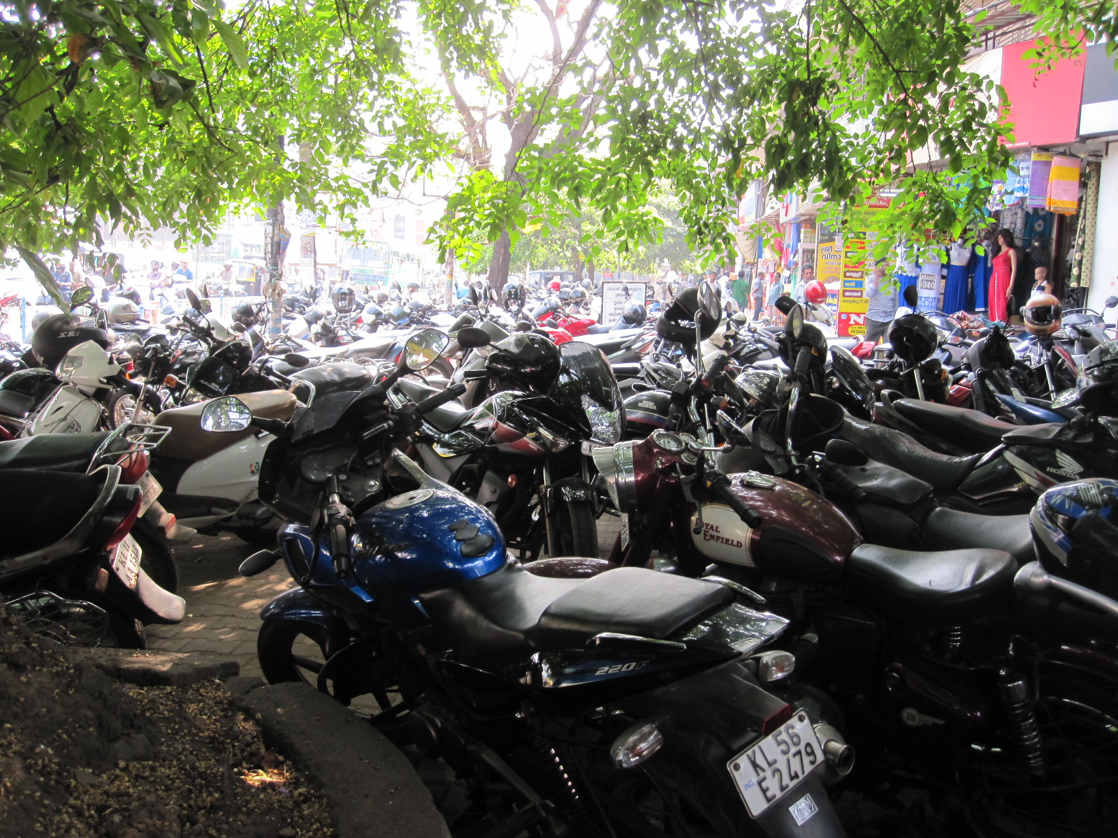
Cyclists are in a minority, most having been killed I would imagine, and the remaining ones wobble around on basic upright bikes. Motorcycles and scooters are the staple form of private transport, in numbers that far exceeded anything that I expected or have seen anywhere else excepting Taiwan. Many of them travel quite slowly (20 – 25mph) carrying up to five people, though usually one or two. They are mainly of Indian manufacture and up to 250cc, larger bikes being the locally-made Royal Enfields or Japanese models. Some are ridden fast, but it is unusual to see really high speeds. It is common for motorcycles to be ridden along the side of the road against the main flow of the traffic.
What we call tuk-tuks (Indians call them auto-rickshaws) and their commercial variants are everywhere in towns and sometimes found on main roads out in the countryside. They have tiny engines which can push them along at about 25mph on the level, and as soon as they come to a hill their speed drops dramatically. They are driven very aggressively in towns.
India still has a relatively low level of car ownership and as in all developing countries ownership of an expensive car,
Ambassadors
especially a German one, carries with it an automatic expectation of priority on the road. Taxis are driven the same as taxis everywhere. The Hindustan Ambassador, based on the 1955 Morris Oxford is still around but in rapidly diminishing numbers, production having ceased in 2014. Most cars are of Indian or far eastern manufacture, European makes being rare. The Tata Nano, the world’s cheapest proper car at about £1700, has not been the success that was hoped for but is around in significant numbers.
Trucks travel as fast as they can. When heavily laden this may mean 15 – 20mph, but at other times they go very fast, forcing their way past everything in sight, and it is best to keep out of their way. In my experience bus drivers are the most ruthless, indulging in crazy overtaking manoeuvres , in which I was almost pushed off the road several times.
 In towns and on many country roads, although it seems very hectic, the actual speed of the traffic is quite low, because there are so many slow-moving vehicles. In towns a few junctions have traffic lights, or are controlled by a police officer, but a lot are completely unregulated. Watching the traffic negotiating an unregulated 4-way junction is an education, and even more so when you come to do it yourself. The trick is to just keep moving, and somehow you come out the other side without really knowing what happened. I quickly realized that Indian drivers work on the basis WHEN IN DOUBT – GO! Speed limits, where they exist, are completely ignored.
Horn blowing is incessant, especially by truck drivers. Many slow-moving vehicles have a sign stating SOUND HORN on the back, which seems to have no effect whatsoever.
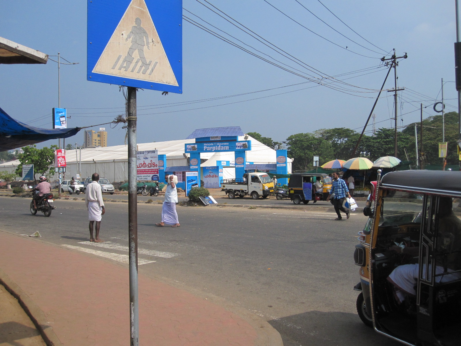
Pedestrian crossing
The people who come out worst in all this are pedestrians, who are, at best, poorly catered for. In towns pedestrian crossings do exist, consisting of a faded sign on a post and some barely visible stripes on the road, but no one actually stops to allow people to cross. If you wish to cross you have to wait for a small gap between vehicles, stride boldly into the road holding up your hand, and any vehicles aiming directly for you will usually slow down enough to avoid hitting you. You then just have to hope that the next vehicle aiming for you will do likewise. The ideal situation is to find two or three big blokes waiting to cross, and go level with them, using them as a sort of human shield.
Into the fray
Starting off in an unfamiliar car in the main street of a busy foreign town is never an ideal situation, and I must admit that as I emerged from the car park on to MG Road I was not brimming with confidence. My original itinerary was to drive westwards to Munnar, a former British hill station and tea growing area, but I was not sure what the road conditions were or how long it would take, so for the first day I decided to take a more straightforward route to the north, which would give me a wider choice of places to stop for the night.
For route planning I had an A4 colour photocopy of a map at about 22 miles to the inch (1:1,400,000) and for navigation I used offline HERE and BING maps in my Windows phone and offline NAVMii in my Android tablet. These did not tell me which way to go but ensured that I could always find out where I was.
The driving on National Highway 17 was far more difficult than I expected, with lots of slow-moving vehicles all over the road in both directions. I made a note at the time “heavy traffic and lunacy”. After a couple of hours I stopped for another awful coffee and decided to aim for a town called Thrissur which according to my guide book was a reasonably pleasant place.
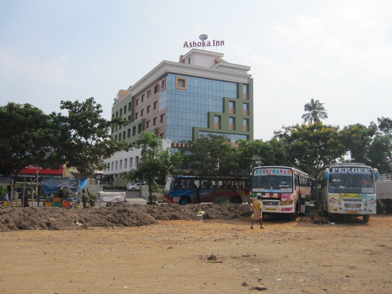
Thrissur
By the time I got to the centre of Thrissur I was shattered, partly from the driving and partly due to jet-lag from the 6½ hour time difference between home and India. The first hotel I saw was a big place called the Ashoka Inn and the car park attendant guided me into a space. He had a big moustache and gave the impression of being an ex-military man, which I later discovered seemed to apply to all the hotel car park attendants that I came across. He did not appear to speak much English, but said “First floor” and took me up to a room where a conference was in progress. This might have been an opportunity to learn something useful, but I chose to give it a miss, booked a room and went out for a walk.

Rough market

Shopping parade
Opposite to the hotel was an area of rough land with some market stalls and a bus station incorporating a shopping parade with a dense mass of motorcycles parked in front of it. Piles of rubbish everywhere and muddy puddles which I thought were probably an ideal breeding ground for mosquitoes and other undesirable creatures, an assessment that later proved to be correct.
The hotel car park attendant had told me to go to the Mall of Joy, which turned out to be an air-conditioned upmarket clothing centre, a world away from street outside where the temperature was 38⁰C (99⁰F) which I could not tolerate for long. It was hardly my scene, but the shops in the Mall offered a vast range of beautiful silks and fabrics in the traditional Indian style as well as modern clothing.
 Back to the hotel and after a meal in the vast restaurant I went out for another walk around. By now it was dark, but I will walk anywhere in the dark unless it is obviously dangerous, as in much of the USA. The street lighting in Thrissur is poor as was the condition of the pavements, but I did not feel that there was any great threat of being mugged. In the unlikely event that the people in the Foreign Office Travel Advice section read this they will probably take my passport away. Anyway, I did not have the energy to walk very far.
Moving on
With the day’s experience behind me I could now plan ahead, and decided to aim for Ooty, an old hill station in the state of Tamil Nadu, at one time under British occupation. Like many places in India, Ooty has several different names, the most formal one being Udhagamandalam, and its elevation of 2,240m (7350ft) meant that it would certainly be cooler than the areas I had been to so far. The most direct route was via Coimbatore, a thriving city of 1.6 million people, and I did not realise what I was letting myself in for.
Toll road
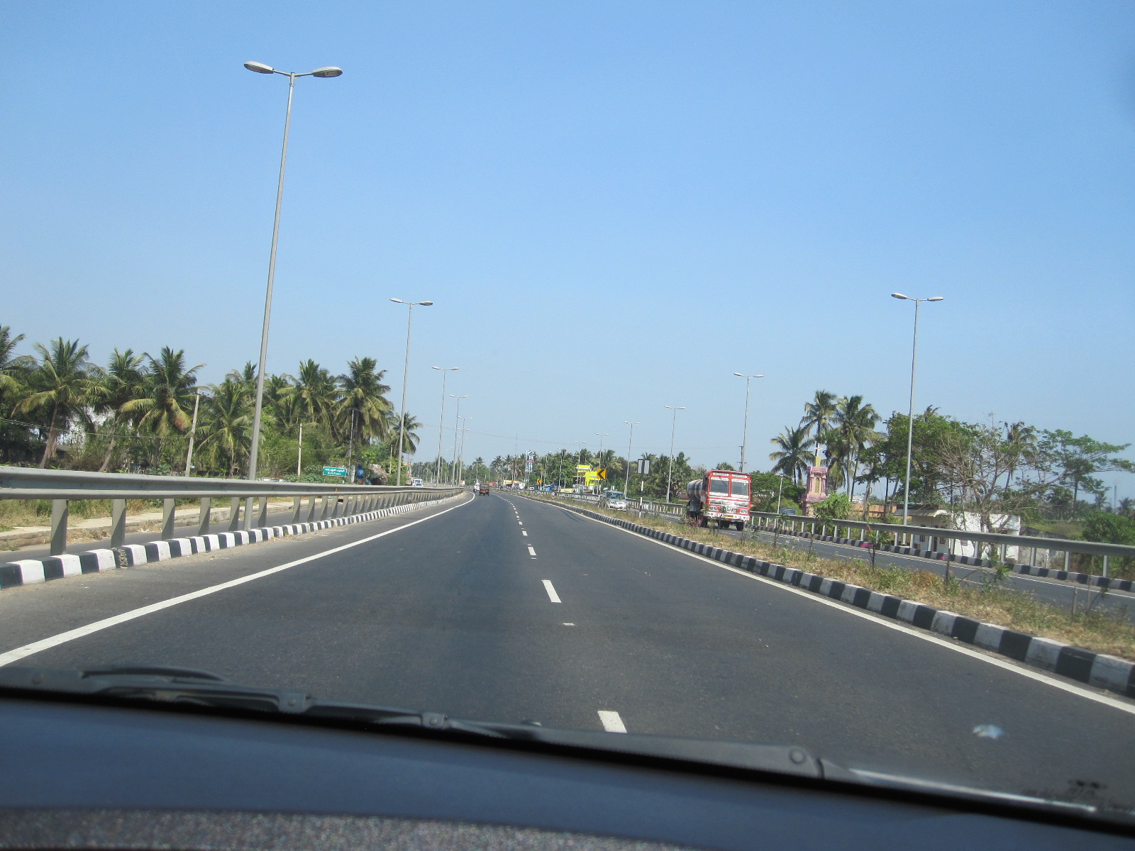
The morning health check was good and the bite with the red streak showed signs of receding. My notes at the time say “crazy drive out of town” (Thrissur) and it was slow going to Shoranur. The road then became much less busy and quite scenic to Palakkad, where it joined National Highway 47, a modern dual carriageway toll road, though with its share of intersections and some slow traffic. The road was still under development and eventually on the approach to Coimbatore dwindled down to a narrow strip of tarmac wending its way for about a mile through a building site.
Coimbatore
At 4.00pm I reached Coimbatore. My notes say “Madhouse. Worst ever traffic nightmare”, this coming from someone who has driven into Moscow and through the centre of Seoul. My phone map showed some hotels near the end of a bridge leading to the town centre, and through the chaos I glimpsed one called the Kooloth Lake View Residency, much less smart looking than its name suggested, but by then I would have gone for sleeping over a rope in a dosshouse just to escape from the traffic. In the end I had to park and walk to the hotel to find the entrance and the underground parking set up.
A steep ramp led down into the car park and the obligatory man with the big moustache also had an ear-piercing whistle which he blew repeatedly while I was trying to make an eight-point turn so that I could drive out going forwards, making the task considerably more difficult than it should have been.
For the sum of 1400r (approx. £16.50) I was given an en-suite room on the corner of the Kooloth Lake View Residency with large windows facing along the main street one way and down on to it the other. Coimbatore is the sixteenth largest city in India, its main industries being engineering, textiles and electronics, and certainly gave the impression of being a hive of activity.
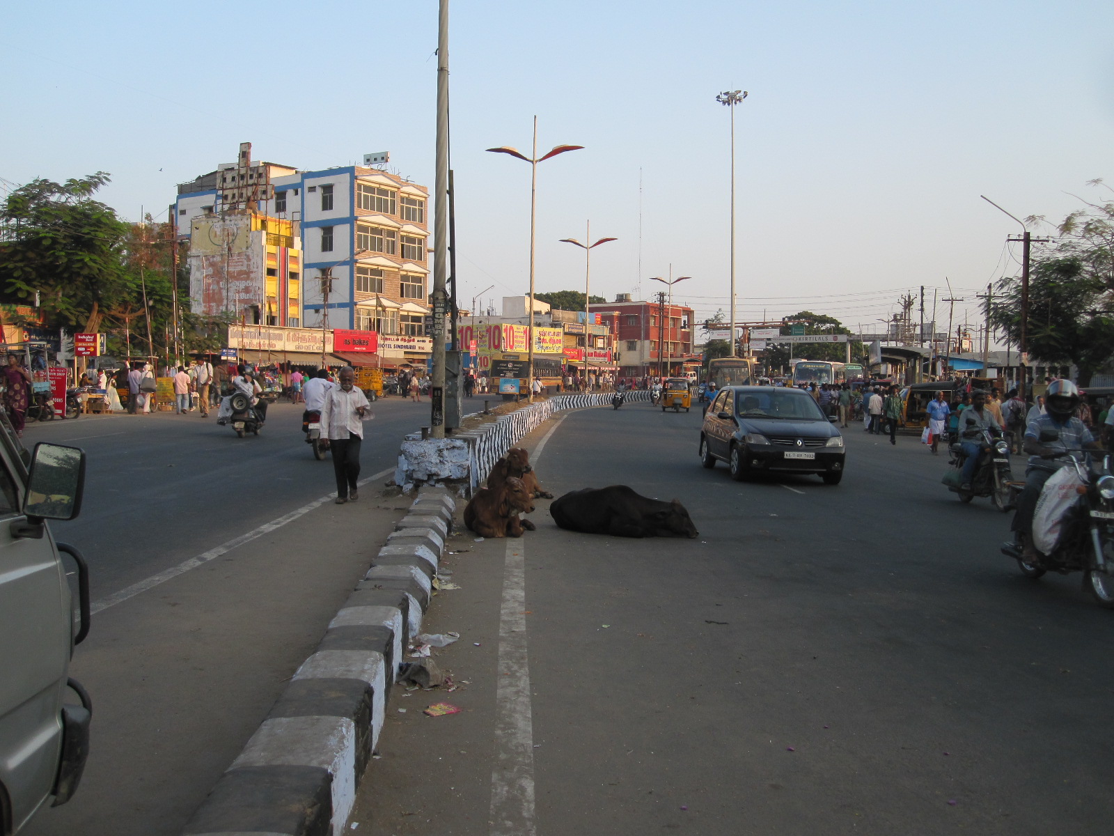
Cows
The road in front was a dual carriageway, actually part of NH47, and when I went out to look round the town I was surprised to see three large cows lying in the road up against the central reservation. I had passed a few cows on the road on the way from Thrissur, but these were in an exceptionally noisy and exposed position, and it is hard to understand why they didn’t settle down in one of the quieter side roads instead of the main traffic stream.
The hotel didn’t do food at all, but I found a vegetarian restaurant in the main street for my evening meal, after which I looked at the shops. The range was enormous, including an up market clothing centre like the Mall of Joy. Running parallel to the main street was a pedestrianized lane full of shops, and off that a souk (market). The prices were by our standards very cheap and as far as I could see all this was aimed at local people, because there were no obvious tourists in the place apart from me. The quantity of beautiful silks and fabrics, especially for women, was mind-boggling.
Main street
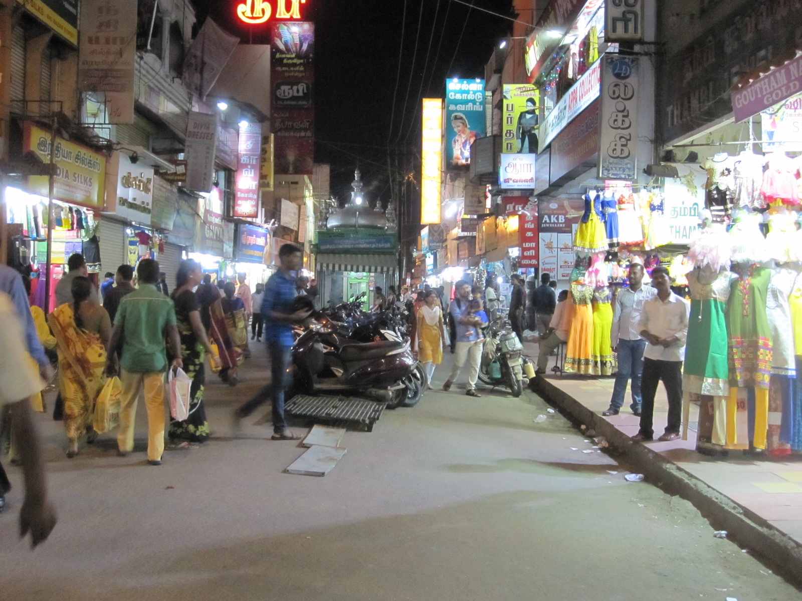
Night market
When I got back to my hotel room the first thing that struck me was the noise. It must have been the noisiest hotel room in the world. As always, I was very tired and with great reluctance I put in the ear plugs that I take to wear in cheap American motels. They are quite uncomfortable, but I eventually fell asleep until I was woken by a truck sounding its horn under the window at 3.00am. In fact the noise was incessant, especially the horns and brakes of the trucks as they approached the adjacent junction, and I must have somehow slept through it for a long time, but once awake there was no prospect of getting back to sleep.
To the mountains
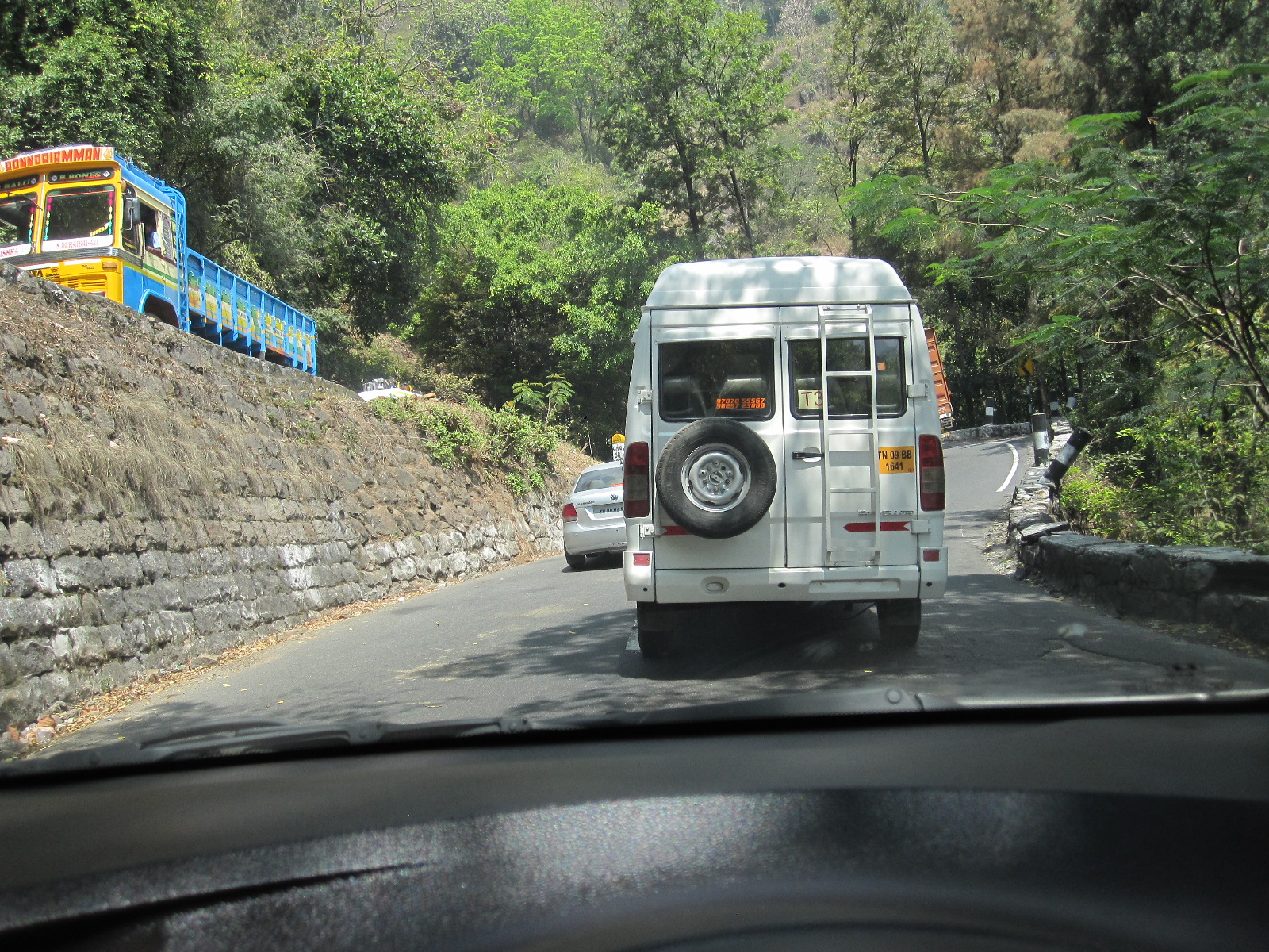
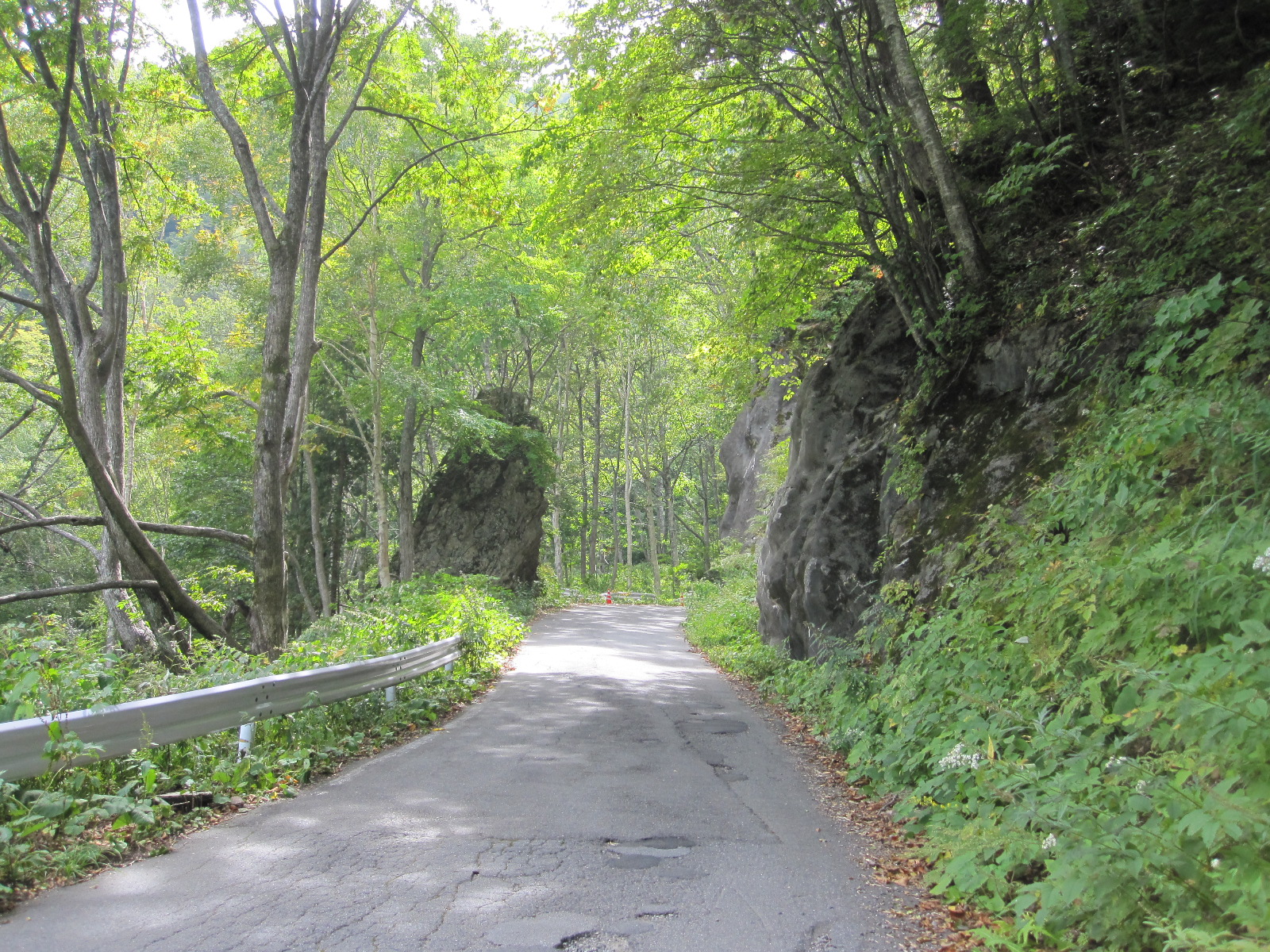
By 7.00am what was left of my nerves after a few days in India could take no more so I packed and left the hotel. The prospect of emerging into the Coimbatore rush hour traffic was not enchanting but anything was better than that room. The main route out of this industrial city entailed driving through a mass of motorcycles going in all directions, and I don’t know how I did it, but by the time I got to Mettupalayam things had calmed down a bit. From Mettupalayam to Ooty, via Coonoor , was a continuous climb for 30 miles, a single carriageway road consisting entirely of sharp or hairpin bends joined together with no straight bits excepting through Coonoor itself.
Hairpin
Ooty is a much favoured place for people to escape from the high summer temperatures, and has been developing quite fast for a long time, which means that there are lots of trucks slogging up the mountain carrying building materials. Their speed is such that it is unrealistic for vehicles operating to a time schedule, such as taxis and buses, to wait behind them, so if there is the slightest chance of getting past they go. Europeans see this as highly reckless, dangerous, driving, but it is just how things are done, and time and time again you see vehicles coming face to face on bends. Somehow some space miraculously appears and a collision is avoided. People who have ‘car with driver’ often plead in vain with the driver to stop indulging in such practice but he or she just carries on because it is the norm. I overtook when I could, but I could not bring myself to launch into a blind bend on the wrong side of the road, which sometimes made me unpopular with the people behind.
 The scenery was excellent but there were few places where it was possible to stop for photos and it was rather misty. Other impediments to progress were roadworks, landslides, breakdowns, cows and little grey monkeys running around on the road.
Ooty
Ooty is spread over a large area of high ground, with tea plantations and vast developments of bungalows, many of them fairly recent. The road from Coonoor drops down towards the centre with a string of hotels on both sides, and I chose a modern one called the Hornbill Residency which had a sign outside listing a range of facilities including Doctor on Call and WiFi. So far I had not been able to make the latter work with my phone or tablet anywhere in India, and I concluded, rightly as it turned out, that there must be something wrong with my set up at home.
Ooty cows
Ooty
The temperature in Ooty was much cooler than everywhere else I had been so far, making it really comfortable for walking about. Most of the shops were straight out of the 1920s and 30s, a few having traditional English family names such as Higginbothams book shop, and I spent quite a bit of time poking about in the back alleys. Ooty is an attractive place and I should have stayed longer there, although it was quite cold in the night.
Another health check the next morning and surprisingly all seemed to be well. A few minor bites, but the one with the red streak had almost disappeared. So far I had seen very little of the inefficiency for which India is noted. In fact, on the whole most dealings I had with people had been easy and straightforward by any standards. It is true that I had difficulty in understanding some people and they had difficulty in understanding me, but that was purely a linguistic matter. However, the only way to get breakfast in the hotel was to have it brought to my room, which proved to be a logistical challenge. From ordering it at reception to actually getting it took about an hour, during which staff came to my room several times to confirm what I wanted, each time with slight variations on what was actually available. By the time it came I was on the point of giving up.
To the coast
Gudalur
Most of the traffic to Ooty goes out the way it came in, via Mettupalayam, but as I was essentially on a circular tour I left the town in the other direction, towards Gudalur. This is a mountain road similar in character to the one the other side, still with the endless bends but with much less traffic and, of course, I was going downhill. Within a short time I came round a bend to find the road completely blocked by two buses coming towards me side by side. Exactly as I described earlier, some road space mysteriously appeared and there was no crash. However, the bully-boy buses going in my direction were a problem for a long way, and my notes say “lot of near goes”. The scenery was brilliant, when I could look at it. 
Somehow at one point I got lost, and although I quickly discovered where I was, I was about 15 miles from where I was supposed to be. There were some police or military check points, and I was just about to be stopped when the officer realized that I was a foreigner and waved me on. In most countries the foreigners are questioned and the locals waved through, but it seems that India is different. The checkpoints may have had something to do with the state border between Tamil Nadu and Kerala.
Calicut main street
My target for the day was Calicut (Kozhikode), a major city on the coast of Kerala, and I found quite a smart hotel without too much trouble. Just as I got to the reception the lights went out and within a short time the hotel’s own generator kicked in. I asked if this was a common occurrence and was told that it was rare, which was belied by the number of businesses around with their own big expensive generators. The central area of Calicut is quite Western in character, clean and tidy with modern shops, including an unbelievable number selling phones and associated products. Also plenty of decent restaurants, but I stuck to my usual vegetarian fare which had served me well so far on the health front.
Calicut beach
The next morning the heat was intense, and I had to abandon an attempt to walk the half mile to the beach after breakfast. Later in the day the temperature was to reach the highest figure ever recorded in Calicut, at 38.1⁰C (100.58⁰F). I drove through to the beach, and was rather surprised to find it almost completely deserted. It was just too hot to sit around, so I carried on down the coast road towards what appeared to be a resort called Ponnani where I thought I might stay the night if I could find a hotel. It turned out to be a very poor run down area with a couple of ‘hotels’ that fell far short even of my undemanding standards. After messing about for a long time I finished up driving down to Guruvayur, a spa-like town with lots of decent-looking hotels.
The first one I came to had no vacancies, and in the second one about ten young men walked up to the reception in front of me. The man at the desk asked what I wanted, and when I asked if there were any rooms this was greeted with considerable merriment by the other group. The man said they were fully booked, and then I suddenly remembered reading about Guruvayur.
The town is centred around one of the most famous Krishna temples in India, to which people come to worship from all over the country. In particular it sees up to around 200 weddings every day, and the hotels are fully booked for months in advance. The young men I encountered probably thought I had come to the town in search of a bride!
Thrissur again

Thrissur basilica
It was too late in the afternoon to for there to be any hope of finding a hotel or a bride, so I decided to push on to Thrissur, where I could be sure of finding good accommodation. I suddenly discovered that I had finally come to terms with Indian driving and made really good progress over the thirty mile journey, arriving well before dark. At the Ashoka Inn I was greeted like James Bond returning to one of his old haunts. “Good Evening, Mr.Bond. How nice to see you. Your usual room?” Well, not quite, but the staff ran around as if I was going to buy the place and I concluded that maybe I was tipping too generously.
During my previous brief stay in Thrissur I had completely failed to find the city centre or anything very interesting but this time I was better organised. On the way to the centre the street was lined with market stalls, apparently for the locals because as elsewhere I was the only tourist. And what about the beggars for which India is noted? They were there, though not in the numbers that I expected. Most of them were very old, many crippled and emaciated, looking as if they had just been released from Belsen. Most developed countries have beggars but these people were in a different order of wretchedness from those on the streets of London or Brighton. India is not sub-Saharan Africa. It has nuclear energy, space rockets and thriving industry which is investing all over the world, so perhaps it is time for this problem to be faced.
The town centre was quite lively with plenty of shops and restaurants, with a big choice of vegetable dishes, but strangely I ran into a serious language problem in the first place I tried. I don’t think they were being difficult, I think there really was no one who spoke English and ultimately a satisfactory meal was produced. It just seems that Thrissur is not well set up for foreigners.

One of many
Rats ahead
By now I had come close to using my 700km distance allowance with the car, after which a high kilometre charge would become payable, so I decided to take some photographs in Thrissur the next morning and then go back to Guruvayur to look at the temple. On the way back to the hotel at about 11.00am after the photo session I was walking across the waste ground near the bus station when a large rat ran in front of me and hid under a bus. About 50 yards further on were piles of rubbish each side of the path and I looked down to see about six rats on one side and three on the other.
Guruvayur street
 As I drove into Guruvayur I passed the only elephant that I saw in India. It was highly-decorated, with two young men riding on it and appeared to be accompanying a band with about a dozen members. The main street in Guruvayur was also highly decorated with a permanent roof supported by steel columns. This led to an area in front of the temple where a large number of people were waiting for a ceremony of some sort to begin. Non-Hindus are not allowed into the temple and people were looking quite hard at me, so I decided to move on.
Guruvayur temple
Back in Thrissur in the evening I walked in the dark across the waste land opposite to the hotel where I had seen the rats. They were not visible, but I was mindful of their presence. From time to time I also had to step round heaps of old rags on the pavement, and it was a while before I realised that they were people.
I had arranged with Mr.Manu to meet him with the car at the airport the next day, before my flight home. His first words were “Are there any scratches?”. By some absolute miracle there were no more than when I collected it, and I am surprised that after seven days driving in India it had not been reduced to a heap of scrap metal. Anyway, he was quite happy with it, and handed over my £720 deposit. Kerala Self-Drive Car Rentals are good people, and I would recommend them to anyone else who is foolish enough to consider driving in India.
Other people who go to India come back with wonderful stories of the Taj Mahal, fantastic scenery and wildlife. All I seemed to do was face death twenty times a day and struggle against the intense heat. I wonder which of these scenarios is closer to reality.
Japan 2015
CLICK ON PICTURES TO ENLARGE
JAPAN 2015
This was to be essentially a holiday combined with a brief visit to a Japanese company with which I have had a business relationship for many years. It would be my second trip to the country, with a similar itinerary to the one I had made eight years previously, travelling around by self-drive hire car. When I originally suggested that idea the advice I was given by people who knew anything about Japan ranged from 'inadvisable' to 'impossible', but in the event it was very successful. Starting from Osaka the route covered about 1000 miles, taking in coastal areas, mountains, beautiful countryside and several major cities. Car museums as well, of course.
Despite my experience, in planning this new 11-day trip I made a major blunder. After booking the flights with Emirates I discovered that it was difficult to make any hotel reservations for the first five days that I was going to be in Japan because the three week days were public holidays. The Monday was Respect for the Elderly Day, which I rather liked, the Wednesday was Equinox Day, and Tuesday was a holiday because the other two were. The Japanese are inveterate travellers, and when they decide to move around they do so in a big way, putting a lot of pressure on accommodation and transport. There were still 8 weeks to go, and with great difficulty I managed to book hotels for the whole route, mainly using Booking.com, but it reduced my flexibility and would create big problems if I lost a day anywhere. Also I had to alter my business visit, and the roads were likely to be even more congested than usual.
Hello, Japan. Dancing chairs and bottled sweat.
About 25 hours after leaving home I went into the station at Kansai Airport to get the Haruka Limited Express train to Shin-Osaka, and was immediately left in no doubt that I was in Japan. The train pulled in exactly on time, and I was just entering the carriage to take my numbered seat when a man stopped me and told me to wait behind a line on the platform. He wheeled a trolley full of cleaning stuff into the carriage, and then something happened straight out of Alice in Wonderland. All the seats, which were in lines of 2 or 3, started spinning round on their bases individually. It was just like some sort of crazy Mad Hatter's dance, and appeared to be part of the cleaning procedure, but was actually a way of turning the seats round to face the direction of travel for the return journey as the train was at the end of the line.
It was too dark to see anything much outside, so I took the opportunity to check my navigation arrangements. Finding the way in Japan can be very difficult and locating specific addresses is a big problem even for the locals because in most places buildings are not numbered in sequence along a road or street, but are identified by three numbers referring to the district, block and the number within the block. This last number may be determined by the order in which the buildings were erected, which is not very obvious to a foreigner. If a street has a name it will almost always only be in Japanese unless it is a major route.
To find a particular building you really have to know exactly where it is on a map, and there is something rather peculiar about the Japanese and maps. The maps you find in leaflets and public places are strangely presented and usually do not have north at the top. If you buy a local map it will be entirely in Japanese. Of course, you can always ask somebody, but almost nobody speaks English, which means that they will go off in search of someone who does. As a point of honour they will not let you go until they are satisfied that they have met your needs, which can take a very long time. Businesses often have outline maps on which they will mark the place you are looking for, but they usually get it wrong. It is no good showing someone an address in English because they won't be able to read it, and if you have the address in Japanese you won't be able to read it!
Rental cars usually come with satnav, but it will be all Japanese apart from the road numbers. This means that you need GPS in a phone or tablet, and there is still a problem, because for some strange reason to do with copyright the usual map providers (Google, Bing, HERE) do not have offline maps of Japan. However, after much research I found a modified version of Bing Maps for my Windows phone, and MapsMe for my Android tablet.
Back to the train, and this was the opportunity to see whether the GPS worked with the maps, because I couldn't do it England. To my great relief the little arrows moved along the maps and showed the position of the train, so that I could judge exactly when it was going to get to Shin-Osaka station, although there were clear indicators in the carriages anyway. I chose Shin-Osaka as my base because I knew the area from my previous visit. It has lots of hotels, was convenient for car rental and not too far from my business associates’ headquarters.
Shin-Osaka might have lots of hotels, but I had only been able to find one with a vacancy for the day of my arrival, and in my estimation it was at least twice the price that it should have been. It was very close to the station in a road alongside the railway lines, and I must admit that I did wonder whether it offered services over and above those required for a normal night’s sleep, but there was nothing untoward in the reviews. The name LiveMax also seemed a bit strange, but in fact it is part of a large Japanese hotel and real estate group, and was perfectly respectable.
In the last thirty hours I had had a succession of airline meals, so I was still a bit hungry, and after checking in I went along the street to get something from a convenience store. On the way I passed several of the refrigerated drinks dispensing machines found everywhere in Japanese towns, and containing among many other things bottles of Pocari Sweat and Calpis energy drinks, always a source of amusement to native English speakers. They taste as bad as their names suggest, although Pocari is not actually bottled sweat, but just intended for sweat replacement.
These are just two examples of the very widespread use of English names for products and businesses, which seems very odd in a country in which so few people speak the language. Most hotels have English names, and the two most popular convenience stores are Lawson and Family Mart. Almost every door for public use in Japan has PUSH and PULL on it, a point that I raised with my business associates in a general discussion until I realized that it was dangerous ground and changed the subject.
Mountains and mad motorcyclists.
The next morning I checked out and went to pick up my car from Times Car Rental, a short walk from the hotel. Shin-Osaka, like most urban areas in Japan, is totally safe but visually unattractive, a consequence of the headlong rush for development in the 1960s and 70s. The main street, if you could call it that, is literally overshadowed by a multi-lane elevated highway running for its entire length (and far beyond), with two high level railway stations.
The staff in the car rental office did not speak much English, but after examining my credit card and International Driving Permit they handed me some forms in English to read and sign where indicated. A man took me outside to introduce me to my silver Mazda Demio (Mazda 2 in England) and then left me to get sorted out. Driving in Japan is on the left hand side of the road, with the steering wheel on the right, as at home, but there was one confusing thing, in that Japanese cars in Japan have the lever for the indicators on the right and one for the windscreen wipers on the left. It took me several days to get used to that, and for a time I kept switching the wipers on when I wanted to turn.
Seventy-two percent of the area of Japan is mountainous, which means that a large proportion of the remaining land is built up, with vast, seemingly endless, conurbations along the coasts. My next overnight stay was to be in a small town called Obama on a relatively undeveloped stretch of coast about 50 miles north of Shin-Osaka. It was the other side of a range of mountains, and there were basically three ways of getting there, one being made up of comparatively minor roads across the mountains, and the other two being expressways (expensive toll motorways) on lower lying land to the east or west of the mountains. These last two were each about 100 miles long, and the more direct route was actually about 90 miles, because it squiggled about so much.
There was an element of risk in the last route, as Japanese mountain roads are subject to closures during periods of bad weather, including heavy rain, of which there had been plenty prior to my visit. On the other hand at holiday time there could be problems on the expressways, as on British motorways, and my inclination was to take the mountain route. The traffic north of Osaka on the Sunday morning was horrific and I spent about two hours going nowhere, mainly because of people queuing to get into shopping malls. However, once I got out of that area the traffic cleared and I made quite good progress.
The road ran mainly between tree-covered hills, with villages and a couple of small towns along the way. For some distance it was close to an expressway on which signs at the intersections warned of queueing traffic, so I think I made the right decision to avoid using the supposed high-speed route. For the last forty miles to Obama there were few other vehicles apart from lunatic motorcyclists flying round the endless hairpin bends with their knees scraping the road. The scenery was not as spectacular as might be expected from the map, because of several tunnels through the highest mountains, including one about a mile long.
Obama festival chaos
Parade
At 4.30 I arrived in Obama, to find the streets leading to my hotel closed off by people with batons standing in the road. In Japan there are lots of people with batons controlling the traffic, some obviously police, but others employed by businesses or for special events. Nowadays they have batons with lights in them like the light sabres in Star Wars, but shorter and the lights are red. In the distance I could see people marching in traditional costume and there was obviously a festival of some sort in progress.
Eventually I managed to get to the hotel, which was at the centre of the action, and once sorted I went for a walk around. It seemed that there were several groups marching about, two or three of them with marvelous tall medieval carriages packed with people, pulled by strong men with ropes. The carriages were made of wood, including the wheels, and were draped with elaborately-patterned cloths.
Carriage
Shrine
The main street was lined with stalls selling the usual tourist fare and all sorts of unrecognizable items of food, none of which appealed to me. At one end of the street was a large shrine, with a kind of altar in front of it and brightly coloured ropes hanging down with enormous tassles. People would come and bow for a while before shaking the tassles, causing bells to ring, presumably as a form of prayer. After a good and cheap rice meal in a restaurant I walked around the town and through to the promenade which overlooked a bay on the Sea of Japan. Obama was an attractive place and I felt pleased with my choice of night stop.

Obama port
Breakfast in the hotel the next morning was not available to me because I had not booked it in advance. The streets of the town, with colonnades, were deserted, and the shops mostly closed but I resorted to breakfast in a convenience store before exploring the town a bit more. Eventually I found a fair part of the population in a food and fish market near the harbour, where a vast variety of freshly-caught fish were beautifully displayed on slabs.
Heavenly views, tunnels and eating with the locals
Heavenly view
The plan for day was to follow the coast northwards for about 80 miles and then turn inland to a city called Fukui. Soon after leaving Obama I followed
Angel scene
a sign to the Angel Scenic Drive which led me on to a cul-de-sac mountain road to the top of Mount Kusuyagadake, on a peninsular. It lived very well up to its name with superb views across the bay and ocean on both sides. At the top was a massive car park with about three cars in it, although the inevitable group of motorcyclists turned up after a few minutes. A very nice well-travelled couple from Kobe came over and talked to me for a while. They were astonished that I was driving around on my own, because few Japanese people have ever driven in a foreign country and they find it hard to imagine doing it.
By now I was completely used to the ridiculously low speed limits on Japanese roads. For almost the entire distance since I left Shin-Osaka the speed limit had been 40kph (25mph) or 50kph (31mph), even on open country roads. These limits are normally exceeded by a margin of about 50%, i.e. people do 60kph in the 40 limit and 75kph in the 50 limit. Motorcycles go as fast as they can. Police cars are few and far between as are cameras, and little effort is put into enforcement.
Fishing port
The main road wended its way along the coast past tiny fishing ports, from time to time passing through tunnels where the mountains came down to the sea. I counted nine tunnels in about thirty miles to the town of Tsuruga. Continuing to follow the coast line I stopped for a walk in a couple of small places right alongside the ocean and was surprised to find that there was lots of free parking and not many people about. It is always said that you cannot find anywhere to park in Japanese towns and cities, which is not actually true. It is usually easy to find somewhere, but just very expensive, although no more so now than in cities like London, Brighton or Oxford. In some places the main road (Rt.305) was uncomfortably narrow, which might explain the lack of buses, and therefore people.
Fukui early morning
Eventually I turned inland to Fukui, an industrial city which has a population of 267,000, and managed to find the Route-Inn Court Hotel, in the middle of a big commercial development. For my main meal of the day I went into a nearby restaurant, sat down and waited to be served, without realizing that it used a system that is widespread in the sort of cheap Japanese places that I frequent but had forgotten about. A member of staff came over and indicated that I should follow him into the lobby, where there was a big cabinet with dozens of tiny pictures of meals. Below each picture was a brief description of the meal in Japanese, the price, a button, and a small slot. The procedure is to decide on a meal that does not look too revolting or poisonous, put an appropriate amount of money into a big slot on one side, and press the relevant button. A little ticket then pops out through the small slot for you to give to someone in the restaurant and after a few minutes the meal will be put in front of you. At that point it is no good saying “Oh no, I pressed the wrong button”. You just have to knuckle down and get on with it, chopsticks and all.
Old cars, old houses and scenery
For most people the highlight of a trip to Japan would be a visit to a historical monument or cultural event of some sort.
Motorcar Museum of Japan
For me it was the Motorcar Museum of Japan at Komatsu, a name that will be familiar to anyone in the building industry as it is the home of one of the world’s largest construction machinery manufacturers. The museum is an extraordinary place with an extraordinary history.
An extremely imposing European-style red brick building, it was put up by the man who introduced such bricks to Japan during the massive building boom of the 1960s and ‘70s. He had a fleet of lorries that delivered the bricks to sites all over the country, and one of his customers asked him to take some old cars away on the empty lorries after the delivery. He offered this service to other customers, and eventually finished up with 500 cars in a field, leading to the establishment of the museum . In front of the building stand two classic British red telephone boxes and a matching red postbox, with a notice in Japanese that presumably states “Do Not Post Letters in This Box”. Apart from the display of cars there is another rather unusual collection ‘Urinals From Around the World’, twenty seven in total, all in working order and labelled with their country of origin. Even I couldn’t test all of them during my visit.
At mid-day I left the museum with a long cross-country drive in front of me, to the ancient town of Takayama, which is remotely situated in a mountainous area of Central Honshu. From Komatsu it is possible to cover a large part of the journey on expressways, including an eight-mile long tunnel, but I preferred to use the old roads because it would be more interesting and I am too mean to pay the tolls.
Before leaving Komatsu I stopped to fill up with petrol, which was an unforgettable example of the application of Japanese culture to what would normally be a mundane experience. Like most filling stations, this one had attended service, with two young men who smiled and bowed as they waved me into position by one of the pumps. With a slight hint of anxiety one of them looked at me and said “Casha?” when he realized that I was a Westerner, because he was worried that I would offer him a credit card that he could not accept, which would be very embarrassing. I assured him that it was “casha” and he put the petrol in while the other man ran round the car washing all the windows. No tip was expected for this service, and my departure was accompanied by a session of bowing and waving to an almost absurd extent.
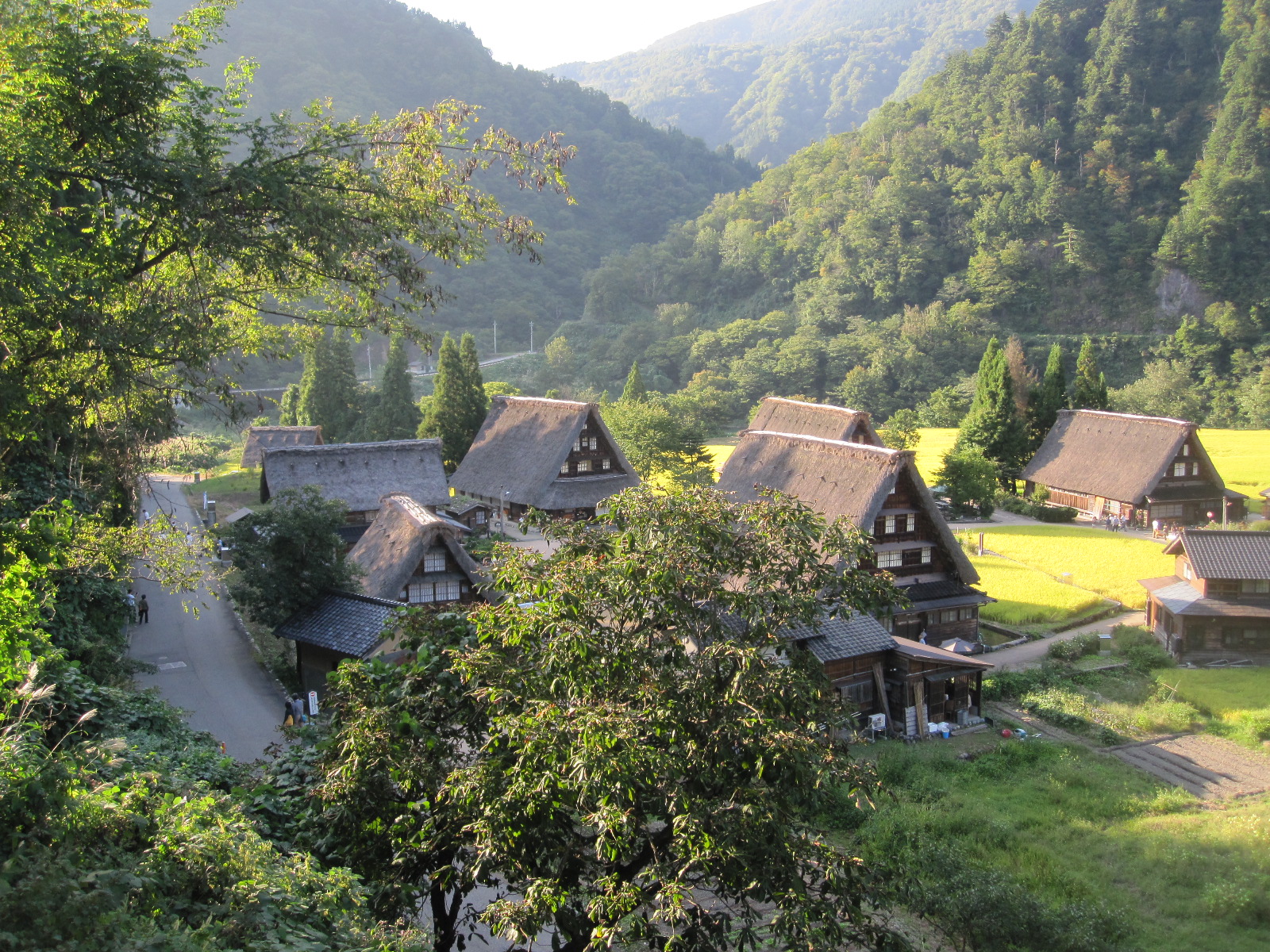
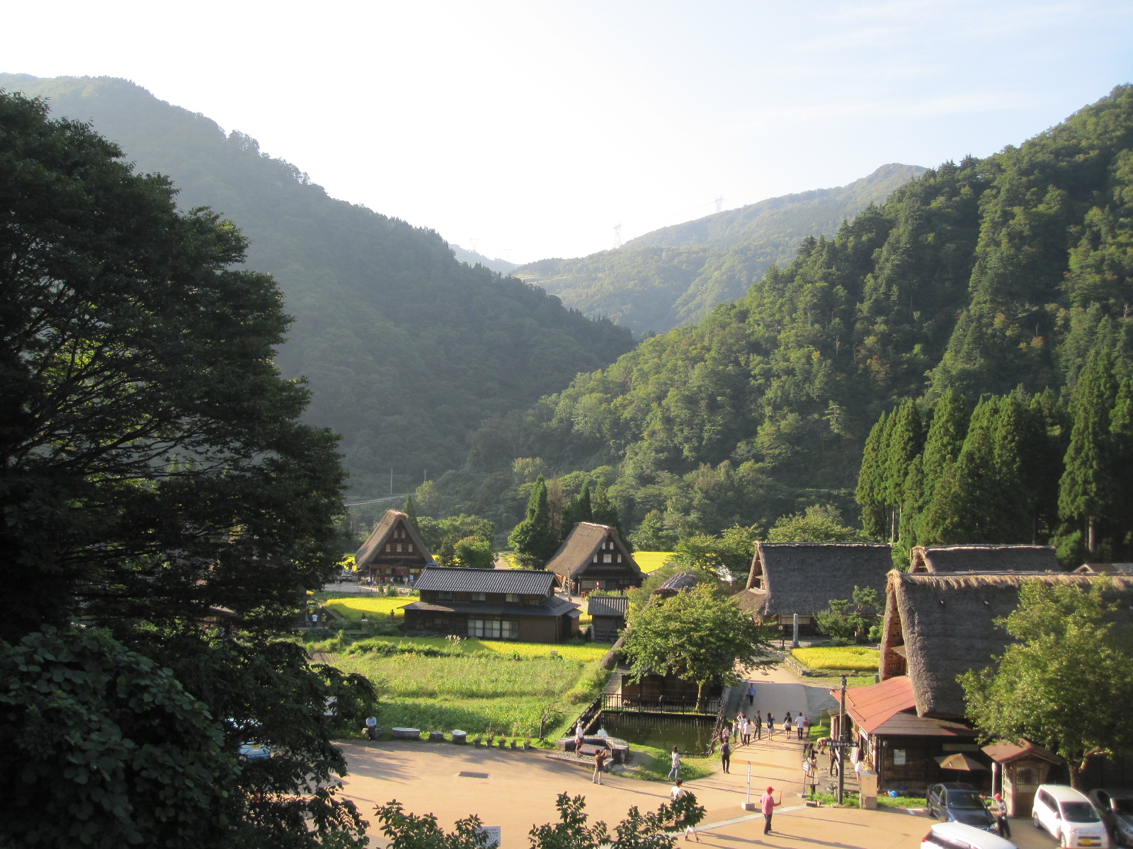
Gokayama
Once clear of the coastal town of Kanazawa it was back into the mountains, with miles of hairpin bends and a few tunnels, until I suddenly found myself looking down on a group of ancient thatched houses. This was the Historic Village of Gokayama, a world heritage site and major tourist attraction. It was not short of visitors, but I was guided into a parking space and set off to look round.
The houses were built of wood with steeply pitched thatched roofs in a chalet style, usually with one or two upper stories and were well spaced out between roads and small rice fields. The village was essentially traffic-free, although a few cars were tucked in here and there. Alongside a river and surrounded by wooded hills, it was an idyllic setting but gave the impression of being somewhat over-preserved.
Gokayama
About 15 miles further along the road was another larger and possibly more authentic place called Ogimachi, where I had stayed on my previous trip. Still with wooden buildings, many thatched, the main street is normally open to traffic, and it has a few shops, traditional guest houses and a petrol station. When I arrived the street was closed, with traffic being instructed to take the clogged-up bypass which runs through a tunnel. Vehicles were queueing to get into the other end of the village, apparently for an evening event of some sort, so I had to give it a miss, an unfortunate consequence of the holiday period.
It was still about fifty miles to Takayama through tunnels, past lakes and mountains which meant that it was dark some time before I reached the town. One thing I do not like about Japan is that they will not have daylight-saving time, so in late September it was dark soon after 6pm, very much earlier than at home. I had resolved to avoid driving in the dark, because the road markings and street lighting are poor compared with England, but fortunately the road into the town led straight to the station, which was opposite to the inappropriately-named Country Hotel where I was staying. Even in Japan everybody knows the way to the station.

Temple
Takayama is famed for its Old Town with traditional single-storey wooden buildings lining the streets, and the plan for the next day was to have a look round before driving over yet more mountains to Matsumoto. In a street not far from the hotel was the Hida Kokubunji Temple with its three-level pagoda. It seems strange to find a building like that in the middle of a densely built-up area, but it is really only the same as coming across a church or chapel in an English town.
Alongside a river running through the old town I found a morning market, extremely well attended not only by Japanese people, but also Westerners who were presumably on organized tours. It was a few days since I had seen a Westerner, and as I have found before, it came as quite a surprise. After spending only quite a short time among people of oriental appearance I felt as if I was one of them and the Westerners struck me as being different!
Takayama
The old town appears to be quite authentic, with people living and working in the wooden buildings as they always did, although nowadays geared largely to tourism. Many of them are traditional Japanese guest houses in which ancient customs are upheld, such as sleeping on the floor and communal bathing. Had it not been for the pressures of the holiday period I am sure I could have stayed in one, as I did in Ogimachi on my previous trip, but I doubt whether I could have got in this time without pre-booking, which was virtually impossible from England.
More tunnels, a mountain pass, and a castle challenge
Abo Toge pass
It was the last day of the five day holiday period, and I expected that people would be setting off home to the heavily-populated area in the south. My destination for the day
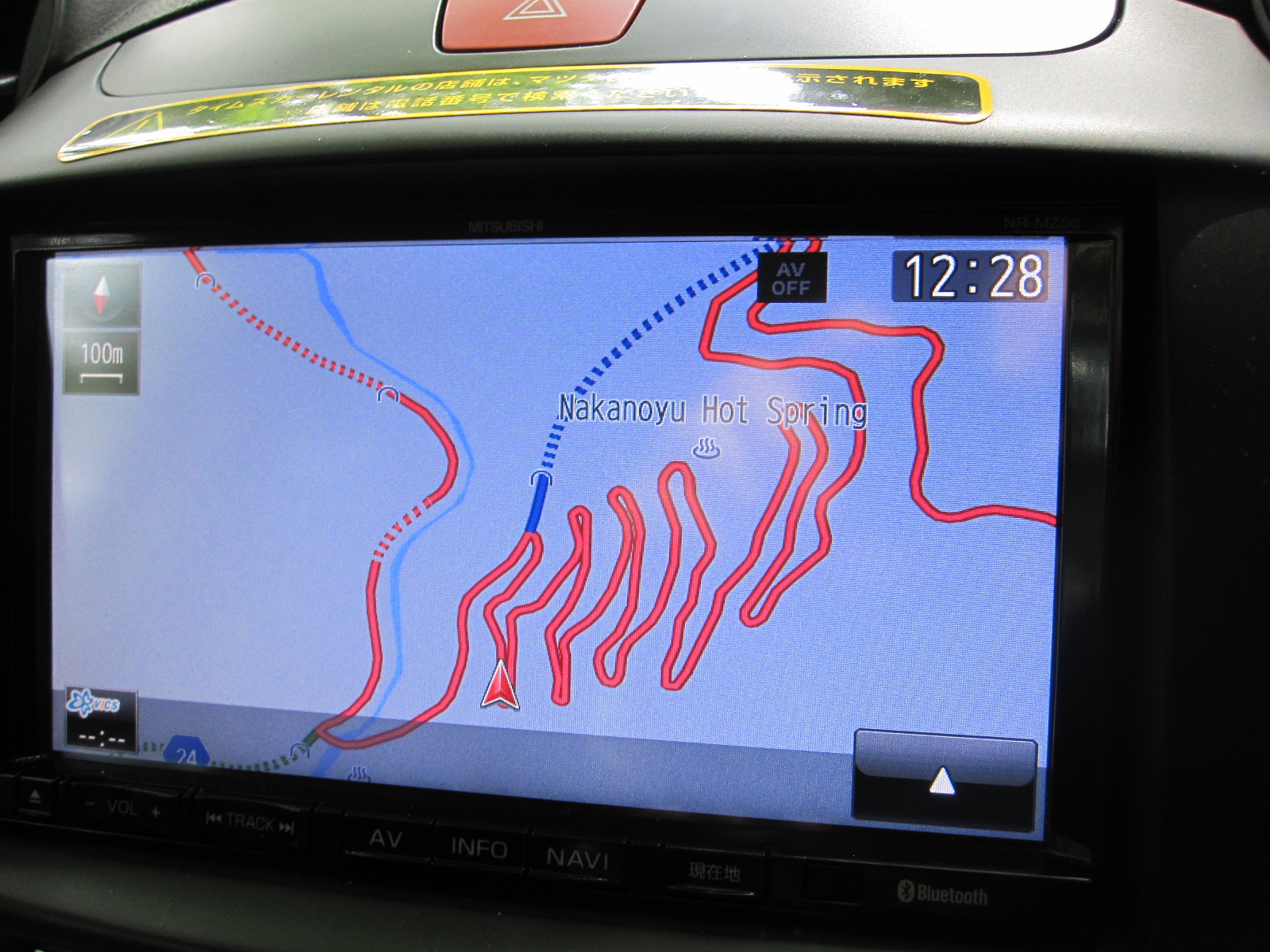
Abo Toge on satnav
was Matsumoto, about 70 miles to the east, the other side of some sizeable mountains, and as predicted the road (route 158) was busy but the traffic kept moving quite smartly for about 30 miles. Some distance after a long tunnel it came to a right turn with a toll booth into another tunnel, and all the traffic in front and behind went that way, leaving me driving straight ahead on my own. The road dwindled down into something like a country lane and started climbing, ultimately turning into the Abo Toge pass, one of the best drives I have ever done. When I got to the top it was some time before another car appeared and I began to wonder if the road was actually closed. The descent had a succession of tight hairpin bends that were beautifully depicted on the car satnav, about the only time it had shown anything useful, and eventually the road rejoined route 158 to go through at least another 12 tunnels before reaching the outskirts of Matsumoto.
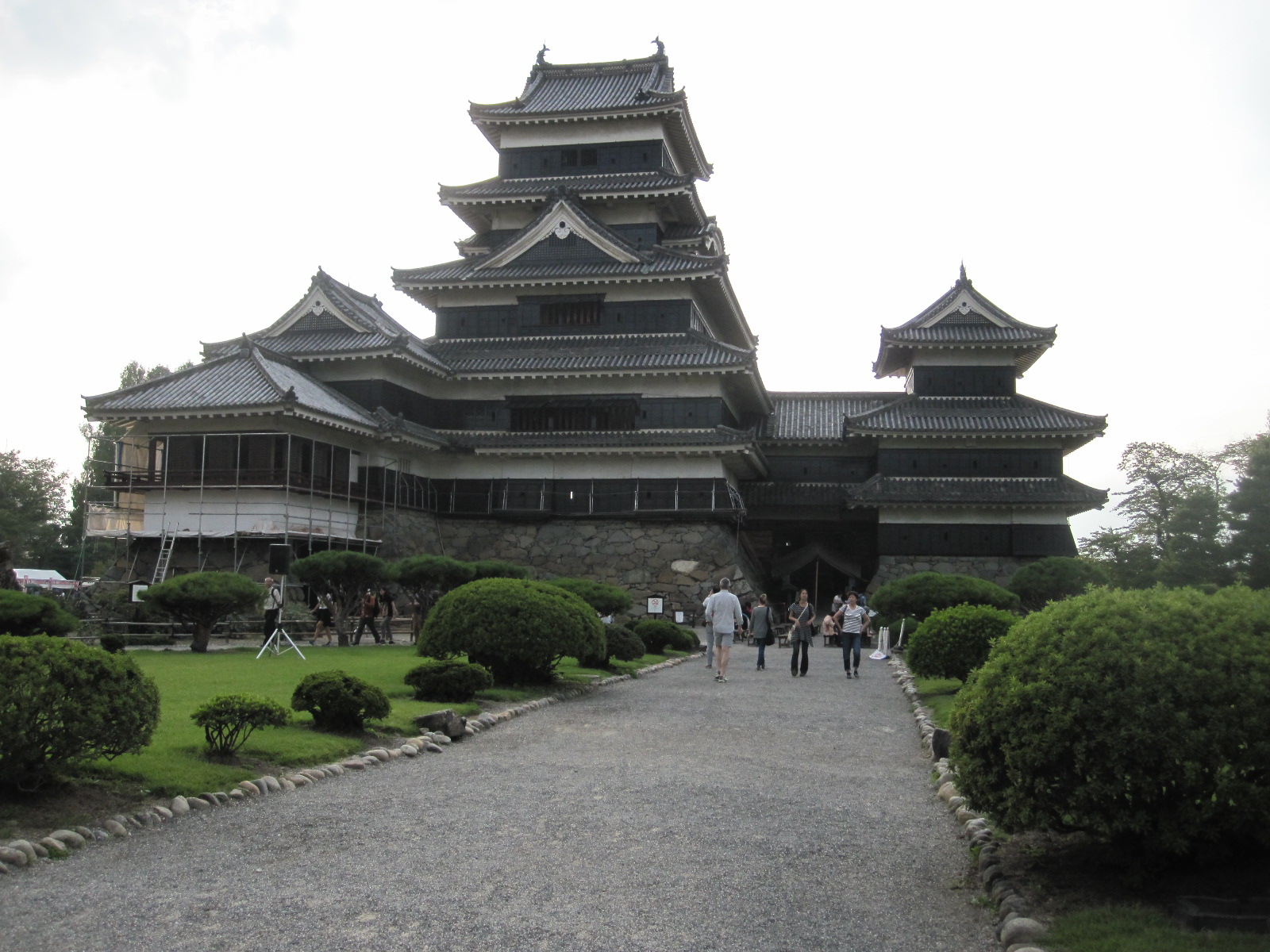 An essential part of any trip to Japan is a visit to a castle. The ultimate Japanese castle is usually considered to be Himeji, which I had been to previously, but was not on my present itinerary. The best opportunity this time was Matsumoto and as I entered the town I decided to go straight to the castle and to the hotel afterwards, because of the time. Although it is not as 'good' as Himeji, its appearance fulfils most people's expectation of a Japanese castle in every respect.
Just inside the entrance was a notice stating that the waiting time for entry was 20 minutes, and beyond that was a covered area with about 200 people sitting on wooden benches. This was obviously the holiday factor in action, but we were actually taken in in batches of about 100 at a time at 10 minute intervals, so the proverbial Japanese punctuality was upheld. As soon as we got through the door we were required to remove our shoes and given a plastic bag to carry them in. At Himeji visitors were provided with slippers which were a source of some amusement because none of the Western men could get into them. The largest were about English size 7, and I take 9 (EUR 43), so I was left with my socks. At Matsumoto no slippers were provided, so it was socks or bare feet anyway. This might not have seemed too bad, had the floors and particularly the stairways not been so highly polished.
Stairs. Not quite this steep.
Progress was painfully slow, as the vast crowd was forced onto a single line that snaked its way up five flights of steep slippery stairs to the top of the building and down again. According to a notice the steepest flight was at an angle of 61 degrees from horizontal with a rise of 41cm between the treads. In Britain I am sure this would have been banned by the Health and Safety Executive, and I was astonished by the way the Japanese people, many of them elderly, tackled it with great determination. Going down was more difficult than going up, and surely they can't all have been in the navy?
Various historical items, mainly weapons, were on display as we went round, but the most memorable parts of the tour were the views from the upper floors, which were superb. From the castle it was only a short distance to the centre of the city, which comes across as quite European in character. The one major difference from most Japanese city centres is the absence of the incredibly ugly overhead cables that ruin almost every photograph that you try to take anywhere else.
Matsumoto centre
It was time to find the Route-Inn Court Hotel, and I was pleased to discover that it was actually shown on the map in my phone. In the reception I gave the booking form to the young lady, who took it into the office, emerging shortly afterwards to explain with some difficulty that I was in the wrong hotel. I pointed out that the hotel pictured on the booking form was the one we were in, and she agreed in a vague sort of way, but still insisted that it was the wrong one. She started to draw a sketch, explaining that the hotel I wanted was another Route-Inn Court just off route 19 about three kilometers away. By now it was dark and I realized that I was going to have a monumental task in finding this other hotel from the information she had given, when I suddenly thought that if one Route-Inn Court was shown on my phone the other one probably would be. It was, and when I got there it turned out to be a building absolutely identical to the first one, so it seems that Route-Inn buy their hotels from a catalogue.
The hotels I had stayed in so far were ‘business’ hotels’, which, as the term suggests, cater for the vast number of Japanese business travellers, but are not very well set up for foreigners, often having no one who can speak more than a few words of English. The breakfasts, where they were provided, offered a fair selection of items, some hard to identify and labelled only in Japanese, so it was a bit hit and miss for me but I managed to find enough to fend off starvation. As a last resort there were always the Lawson and Family Mart stores, which had coffee and Western style food at cheap prices.
A feature found in most en-suite rooms in Japanese hotels is the high tech lavatory. When I first heard about such things some years ago I thought it was a joke, but they are deadly serious about it. Alongside the seat is an arm with a selection of controls to enable the toilet to perform a range of washing and flushing actions, including a bidet function and sometimes music to drown out any unwanted sounds. The lengthy instructions are provided in Japanese and in some cases also English, the more upmarket versions having a detachable panel to facilitate remote operation from anywhere in the room, although it is hard to see why anyone would want to do that.
A weird museum, bad weather and a Fuji non-event
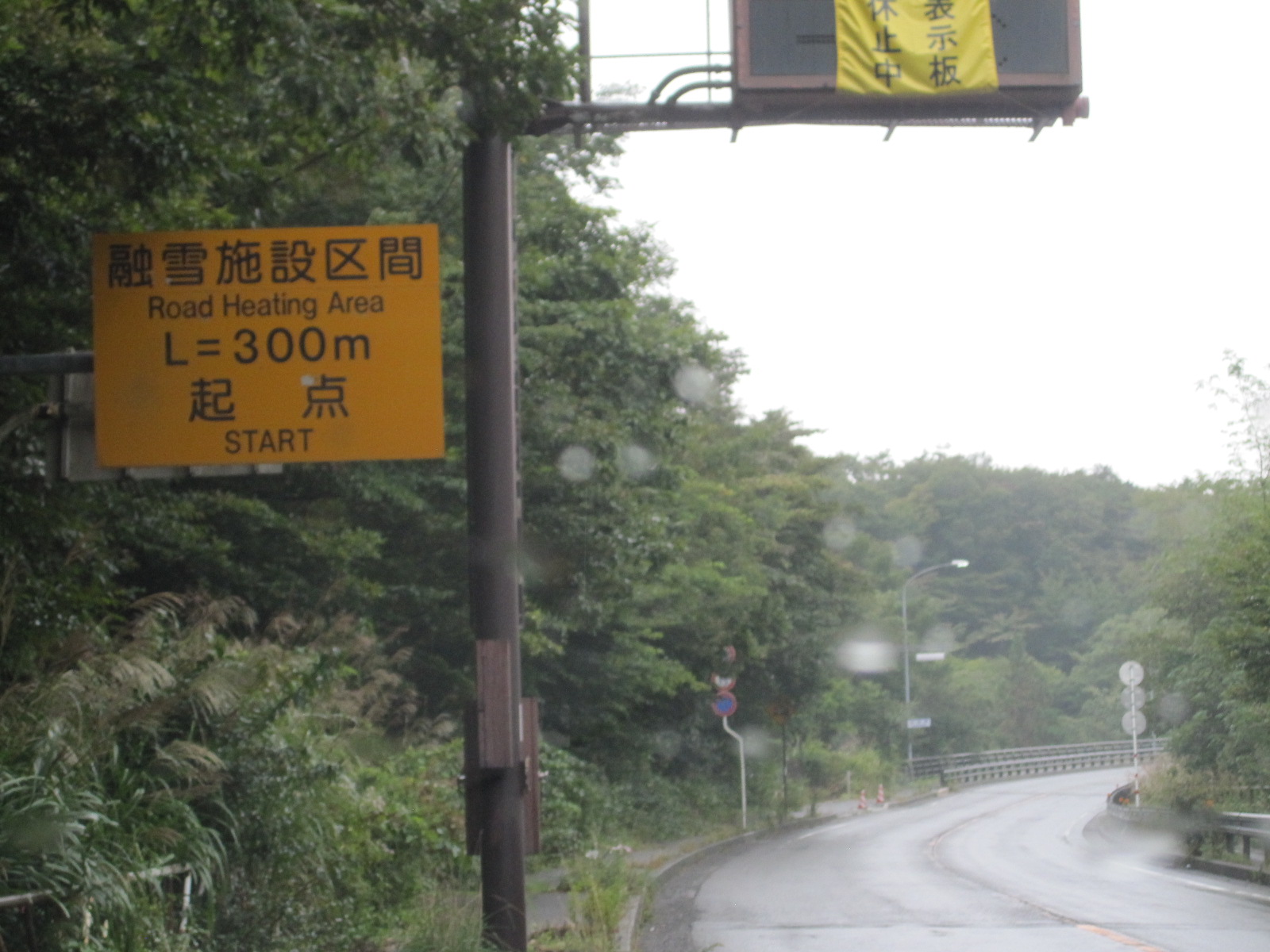
Heated road ahead
On the Thursday morning I set off in a southerly direction towards Mount Fuji and the Pacific Ocean. After a few miles a roadside notice advised of a stretch of heated road ahead, presumably relevant only to winter conditions. The first stop was, of course, the Prince/Skyline car museum situated in parkland just off route 20 near Okaya. Toriidairayamabiko Park was a strange place, with various educational, sporting and cultural institutions dotted about, some signs being in English. The signs to the museum consisted of a few A4 sized pictures of a mundane car at irregular intervals until they ceased altogether. I went back to the last sign, found a big empty car park and asked a man working on a building site (by pointing at the sign). He indicated that the museum was at the top of a long flight of steps leading up a hill, and 189 steps later I found myself in front of the museum entrance.
The company that made the Prince Skyline cars of the 1950s and 60s was taken over by Nissan, who continued to use the Skyline name for their high-performance models on and off until the present day, and you would have to be a real anorak for these cars to appreciate this collection. It was not quite my cup of tea, but just another one to tick off my list.
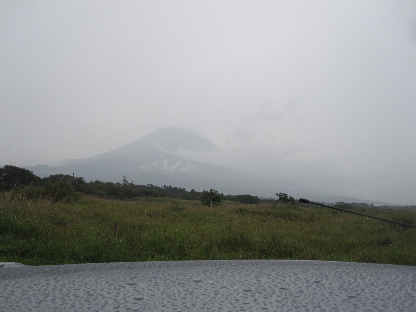
Mt.Fuji non-view
Route 20 was heavily built-up for a long way past Suwa and Chino and then ran through a valley with a mountain backdrop to Kofu, at which point the weather started to deteriorate. So far it had been good most of the time since I arrived in Japan, but on the approach to Mount Fuji it turned to mist and rain. By the time I got as close as I could to the base of the mountain on the western side (about two miles away) it was barely possible to see it at all, and I abandoned plans to go to the nearby Shirato Falls. This was a great disappointment, but the rain had obviously settled in for the day, so I continued south to my night stop in Mishima via a town called Gotemba.
The Shinkansen and Tokyo under an umbrella
The reason for choosing Mishima was that it is a main stop on the Shinkansen (Bullet Train) line to Tokyo, which I planned to visit the next day. It would have been ridiculous to contemplate driving the 75 miles into Tokyo, and in any case I wanted to experience the Shinkansen, which is one of the most iconic features of Japan.
I had chosen the Massimo Hotel in Mishima because it was very close to the station, and it really was only about 100 yards away, which meant that it was easy to find. A bonus was that it had a reserved area in the station car park. Mishima is definitely not a very exciting place to spend a wet evening, especially if you go into a restaurant and choose a meal that is not to your liking. With considerable fortitude I struggled through it, although I don’t know what it was and I am not sure that I want to.
Shinkansen looking other way

Shinkansen looking one way
When I walked to the station the next morning it was still pouring with rain and I was the only person in sight without an umbrella. At the Shinkansen counter I asked for a return ticket to Tokyo, which was 4000 yen (£22.50) for an unreserved seat on the 8.29 train. The Shinkansen operates as a completely separate system from the other trains, with dedicated platforms and lines and I thought that was a good price for the distance. About half the train has reserved seats, corresponding to numbers on the platform, and I was not sure where to stand with no reservation, but the other passengers guided me when I showed them my ticket.
Some stations have fixed barriers on the platform with gates that open automatically level with the carriage doors when the train stops. Mishima didn’t, but when the train came into the station, dead on time of course, it was an astonishing sight. It was like an immensely long silver tube, stretching as far as the eye could see in both directions. It was not crowded, and I got a window seat, the last remaining one in the carriage.
171mph
This route is part of the Tokaido Shinkansen, which runs from Shin-Osaka to Tokyo and is said to be by far the most heavily-used stretch of high-speed railway in the world. There are different classes of Shinkansen, with varying numbers of stops, and mine, with four stops between Mishima and Tokyo, was the slowest. Nevertheless, according to my phone, which knows these things, when it really got up to speed it was travelling very smoothly and quietly at 171mph. For most of the distance it ran through a 1960s and 70s urban landscape, with glimpses of the Pacific Ocean in one area. Contrary to what I had heard, the station stops were quite long, so the overall journey time was 55 minutes for 75 miles.
Some people were not so lucky. On the other side of a station near Tokyo during one of the stops the scene was like the sort of thing you see in films of India, with a massive crowd of people waiting for an ordinary train, and I am sure the ‘pushers’ were ready to force the people into the carriage to make room for the doors to close.
At the barrier in Tokyo Station my return ticket disappeared into the machine and I explained to the man in the smart uniform nearby that the machine had eaten it, though not in exactly those words. He took the side off the machine, extracted the ticket, and pointed out that it was not a return ticket in the first place, so I would have to buy another one to go back to Mishima. This meant that the return fare was not £22.50 but a more realistic £45.
Tokyo Station is an absolute nightmare. It is like all the main London Stations lumped together in one place, with 14 railway operators plus the metro. Tokyo and its adjoining metropolitan areas have a total population of around 36 million, making it the largest city in the world by a considerable margin. Like all transport hubs nowadays, the whole station is dominated by shopping malls, restaurants and other interests, making it very difficult to use for its primary purpose for anyone who is not there regularly. The maps are good for little more than decoration, and information is hard to come by without walking enormous distances. There is an even larger station on the western side of the city.
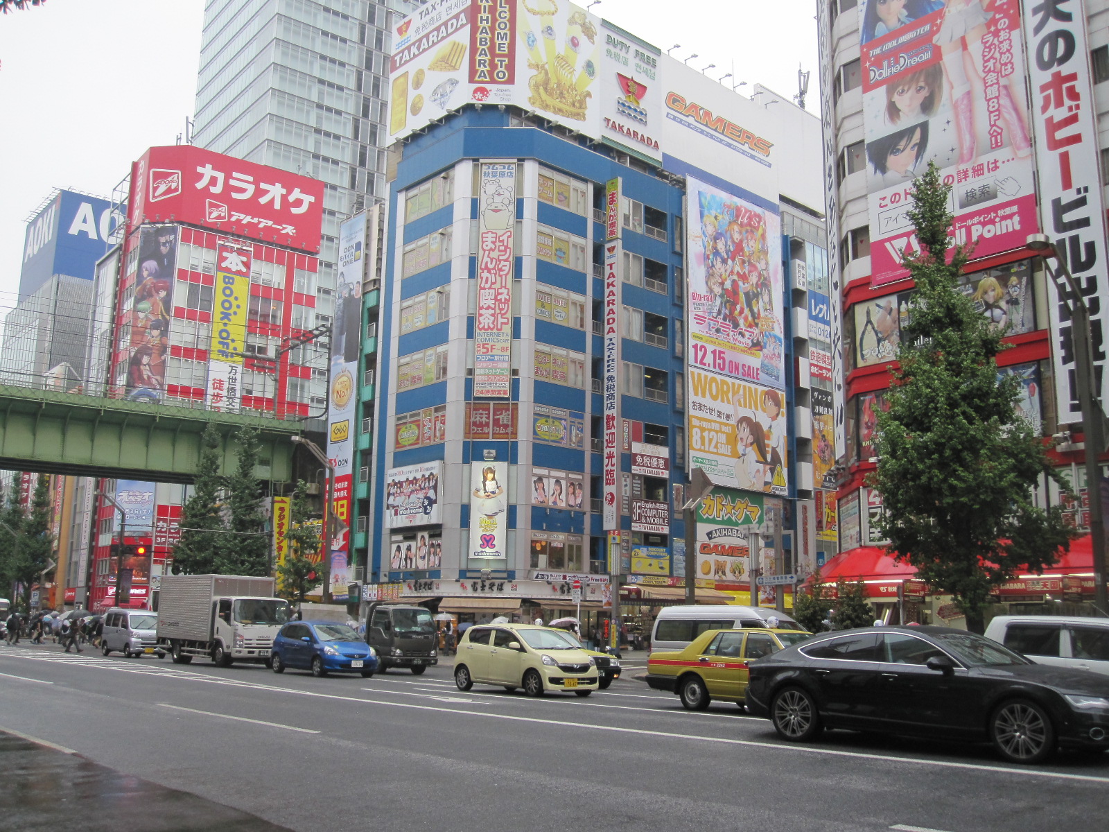
Akibara
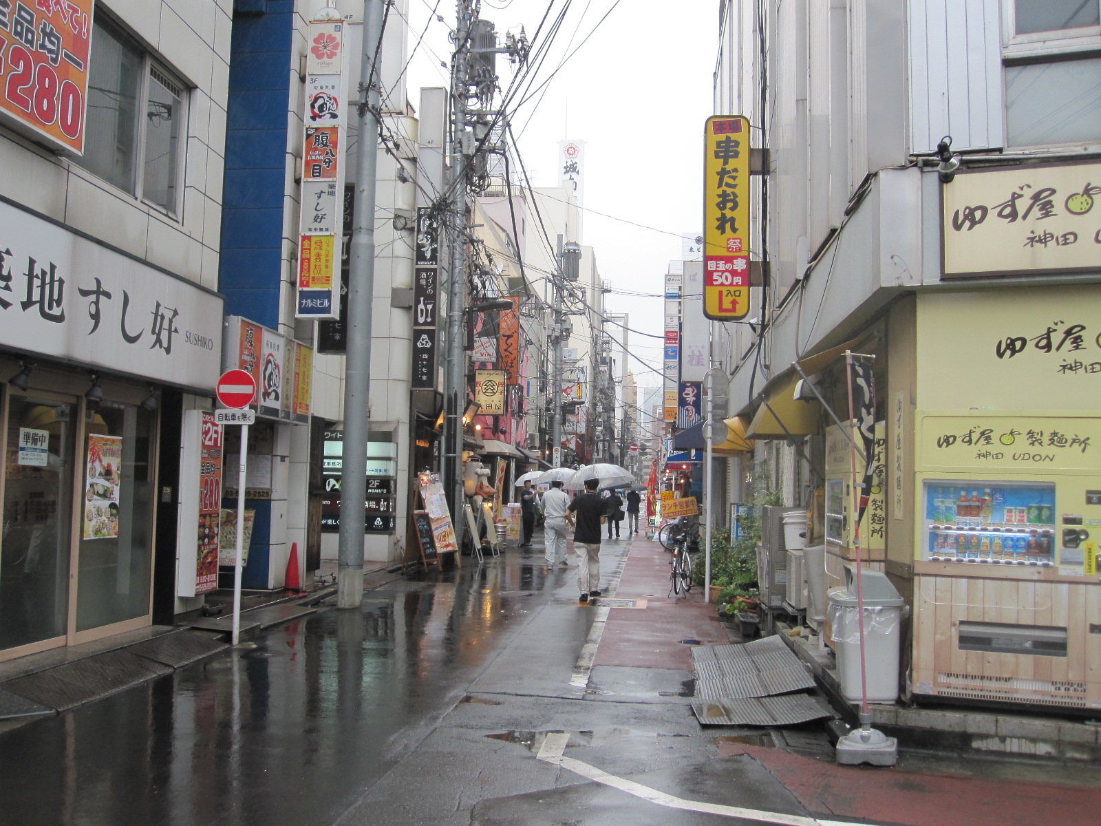
Tokyo back street
Eventually I managed to get my bearings and set off on foot northwards to the Transportation Museum and the Akibara Electronics district. It was still raining fairly hard and the city streets presented a depressing sight. By the time I got to Akibara I was pretty well soaked, so I thought it was time to get an umbrella like everyone else. The shops in Akibara are dealing with foreigners all the time, and when I found an umbrella at the right price (approximately £3) I was rather amused to be offered the chance to reclaim the tax on it. My friends will be surprised to learn that I didn’t bother.
As might be expected, the electronics shops are enormous and stocked with all the latest gear, but the prices did not seem significantly lower than at home and there are the obvious disadvantages of not being able to return things if a problem
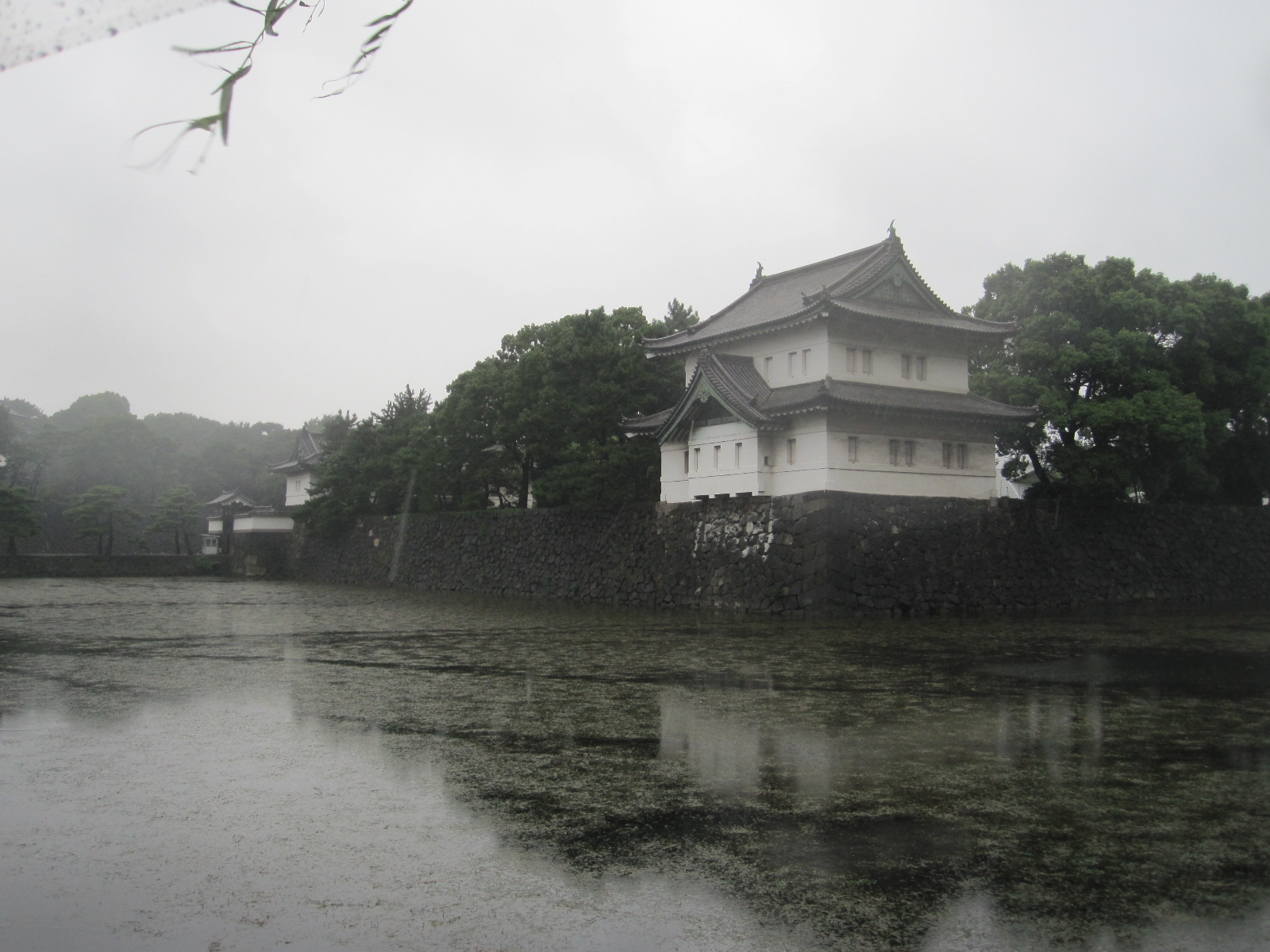
Bit of Imperial Palace
arises. Back into the rain, and I trudged through the back streets for ages looking for the Transportation Museum, only to discover that the site had been redeveloped into something more profitable but less interesting.
It was not too far to the Imperial Palace, which turned out to be closed, and the guard standing in the rain on the pretty bridge over the moat looked as wretched as I felt. Very little of the palace was visible without entering the grounds.
Ginza
Next stop was Ginza, the shopping and entertainment district some distance the other side of the station. The main street was lined with the famous names found in the Champs d’Elysee in Paris or the Konigsallee in Dusseldorf, but had a rather less opulent air about it. As far as I am concerned such places are for walking down, imagining but not spending. The vast expanse of neon does not seem entirely compatible with the clientele that might be expected to frequent these monuments to excess, but I was glad that I waited until dark to see the display at its best.
Rather surprisingly I managed to find the platform for the Shinkansen back to Mishima and was duly catapulted through the darkness at 179mph. My day in Tokyo had not been a great success, due partly to the weather, partly to lack of planning, and partly because as far as I could see Tokyo is not a very attractive place anyway.
To Toyota in a Mazda, with a view of the Pacific
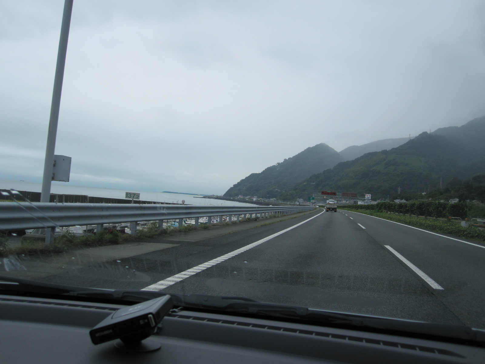
Pacific Ocean
The targets for the next day were the Yamaha Plaza at Iwata and the Toyota museum near Nagoya, Japan’s fourth largest city. The day would be spent entirely driving through the massive industrial area in southern Honshu, so I decided to use the expressways and hang the expense. For some distance road ran alongside the Pacific Ocean, and at Iwata I turned off and checked the details of the Yamaha Plaza, only to find that it was closed on Saturday. Another piece of bad planning and my ownership of two Yamaha motorcycles would be unlikely to carry sufficient weight for them to open specially for me.

Toyota Museum
The Toyota Museum is situated between Nagoya and the city of Toyota, which was named after the company rather than the other way round. The museum is not dedicated to the company’s products but a very well presented and unbiased display of the history of the motorcar worldwide, including many rare and exotic exhibits. Started by the Toyoda family as a textile machinery company, the firm was actually quite late on the car scene, its first models not appearing until the 1930s.
Green Hotel
For my night stop I had chosen the Green Hotel in the little-known town of Okazaki and it proved to be best so far, as well as the cheapest, at about £29. It was more like a traditional guest house, tucked away in the steep back streets not far from the centre. The walls were adorned with pictures, mostly in heavy gilt frames, and the corridors were full of antiques, including large wooden carvings of lions, dragons and other animals. The main street of Okazaki on a wet Saturday evening (yes, it was still raining) was thriving, with lots of restaurants and bars, and I managed to find adequate sustenance of some sort. It was difficult to see what would attract visitors to the town, although the hotel was actually fully booked.
Grand Prix chaos, rice fields, a Giant Buddha and dragon boats
Bridges
The intention for the next day was to drive round Ise Bay to a town called Tsu and then cut across the mountains to Nara, the ancient capital of Japan before Kyoto and Tokyo. From Okazaki the Isewangen Expressway crossed the top of Ise Bay via three very spectacular bridges with fantastic views of the docks and shipyards south of Nagoya. This is the kind of marine industrial landscape that hardly exists in Europe today, and certainly not in Britain.
Driving down the side of the bay I came to Suzuka and after a look at the waterfront I decided to have a quick glance at the Formula 1 circuit a few miles inland, before going on to Tsu. This was a disastrous mistake. Within a short time I met a lot of empty buses going the other way, and then came to an area of closed roads and diversions. The truth slowly dawned that I had come to Suzuka to look at the circuit on the day of the Japanese Grand Prix!
Rice
It was clearly not going to be possible to get to Tsu without going many miles out of the way, so I had to find another cross-country route to Nara. This was ‘old Route 25’, a more rural version of the main Route 25, passing through old villages and between rice fields. Rice growing is hard to understand, because in towns people grow rice on tiny plots of land the size of a domestic lawn, and even in the countryside the fields are smaller than you would think to be economically viable.
Before going to Japan I always imagined that Kyoto was a small quaint town like Rye or Stow on the Wold, crammed full of ancient monuments. In fact it is an industrial city with a population of 1.4 million, and the historical sites are spaced out over a large area. Nara is smaller (368,000) and the sights are mostly concentrated within Nara Park, making it more like how I imagined Kyoto would be. It is nevertheless an important industrial centre, being the headquarters of the Sharp Corporation, among others.
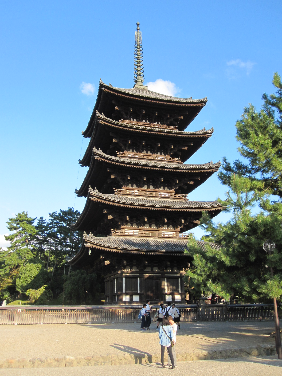
5-storey pagoda
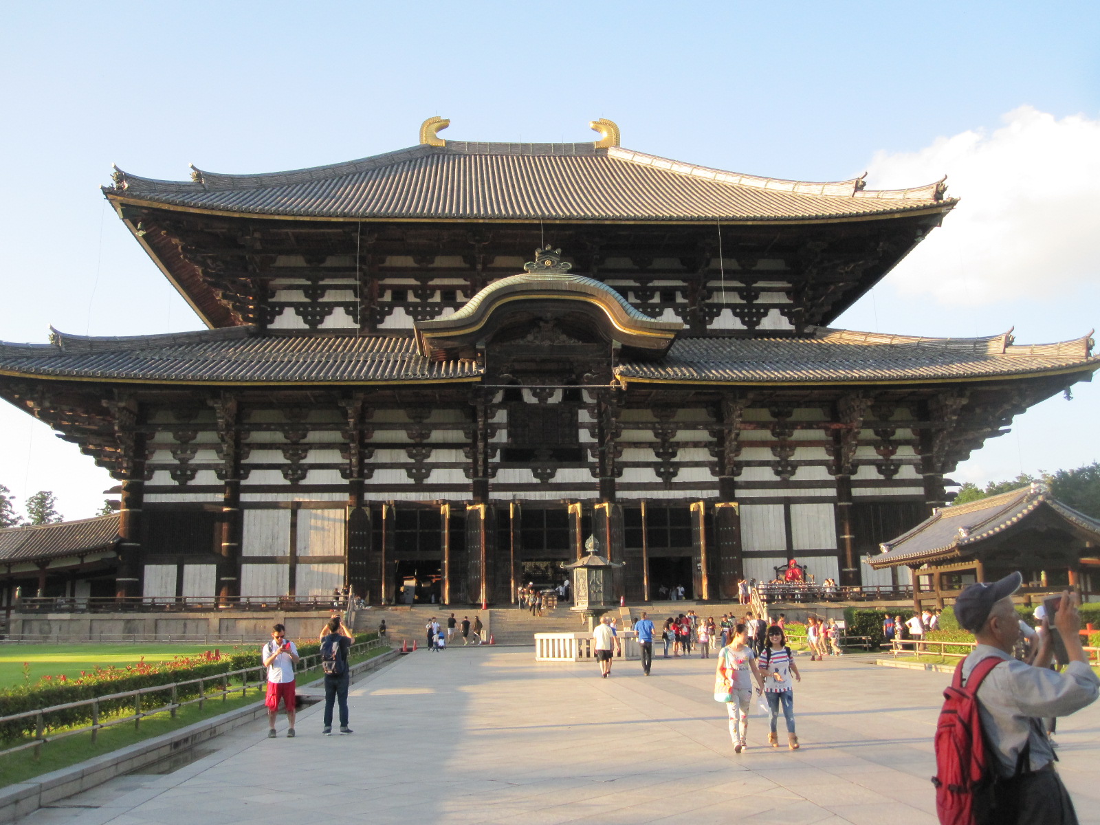
Todai-Ji temple
The strangely-named Hotel Cube was perfectly situated, right on the edge of Nara Park and within easy walking distance of the city centre. It was difficult to get to, but had undercover parking, to my surprise. Just across the road from the hotel was the temple of Kofuku-ji and its five-storey pagoda, with the main entrance to the park not far away. The really important thing to see is the Todai-ji Temple, in which the Great Buddha Hall houses the world’s largest bronze figure of the deity, cast in 752. Due to fires and earthquakes the head has been replaced several times, the present one being from 1692. The current Hall dates from 1709, and until 1998 it was the world’s largest wooden building. The Great Buddha is accompanied by a number of smaller statues, some them apparently covered with gold leaf. Not far from the Great Hall is the wonderful Isui-en Garden, exactly as you would

Great Buddha
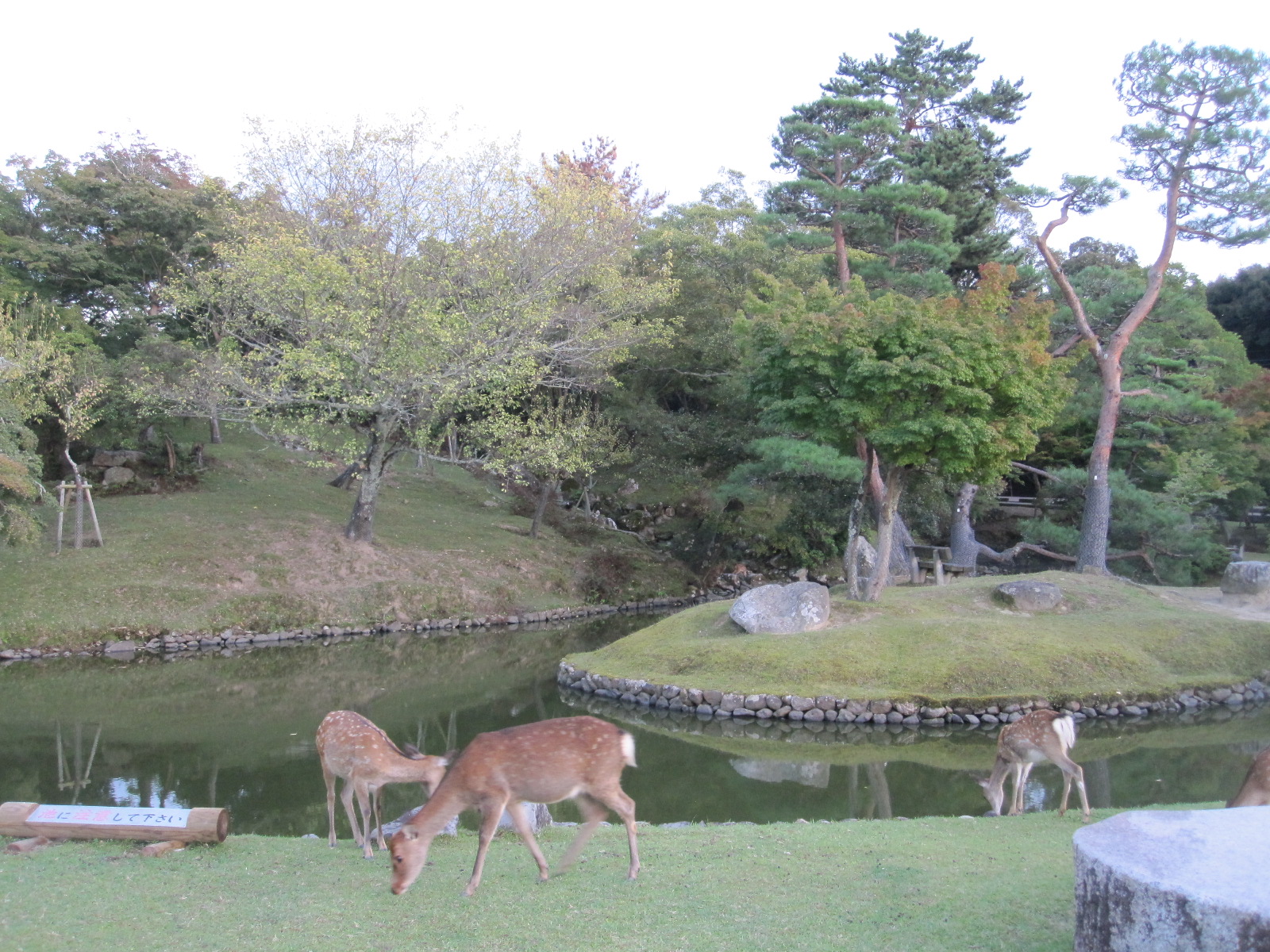
Japanese garden
imagine a Japanese garden to be, with lanterns, ponds, a stream and a teahouse.
Also in the park is the Kasuga Taisha Shrine, originally built in 768 but since demolished and rebuilt over 60 times, in accordance with Shinto beliefs. The approach path is lined with around 3000 stone or bronze lanterns, some with flames alight. Over 1200 small tame deer roam around the park and adjoining streets, with cartoon like signs warning that they can bite, butt, kick and push. They are regarded as ‘messengers of the gods’, but as soon as you sit down on a bench they will come to you hoping to get something to eat, which suggests that they are actually fairly mortal.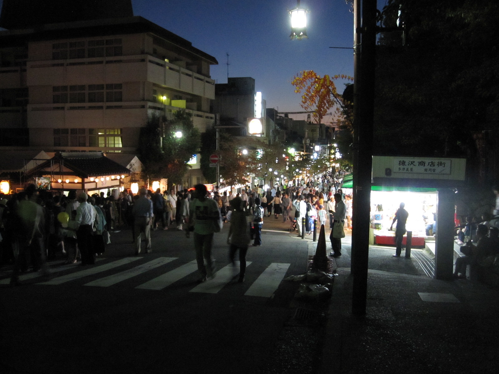

Festival on lake
At dusk I walked past a lake on the way into the city centre for a meal, and saw that preparations were being made for a festival of some sort. Dozens of big coloured lanterns like balloons with lights inside were placed around the shore of the lake, with a bandstand and lots of food stalls. The main street was also full of stalls and all the shops were open.
When I came back an hour or so later the place was heaving with people, and two highly decorated dragon boats were making their way round the lake, accompanied by music from the bandstand. It was not quite clear to me what it was all about, but everyone seemed to be enjoying it.
Down to business and a glimpse of vice
The next day I had an appointment at 11am with my business associates in Minoo, about six miles north of Shin-Osaka. The most direct route, using expressways, was about 30 miles, and bearing in mind the time of day and reputation of Japanese traffic I allowed over 3 hours, including stopping for breakfast and petrol. It was slow going round Osaka, but I reached Minoo in 2¼ hours.
The first thing I had to do on entering the nine-story office block was to remove my shoes and put on some ridiculous floppy slippers that I could only get half way into. Mr.Seto commented that their Australian visitors had the same problem. At lunchtime we went out for a meal that was very much to my liking in a nearby restaurant. I suspect that they remembered the last time they took me for a meal which was extremely difficult to eat with chopsticks, and when I had finished it looked as if a dog had been at the table.
At 4pm I took the car in to Times Car Rental, still unscathed after about 1000 miles in my hands, and walked down the road with my wheelie case to the Sunny Stone Hotel. Apparently, when they choose English names they do it on the basis of whether it sounds nice to them, without much consideration of the meaning. The Sunny Stone was a much better hotel than the LiveMax, where I had stayed the first night, and was about half the price, but, of course, the public holidays were now over.

seedy
Not far from the hotel was a slightly seedy nightlife area, with bars, restaurants and a Pachinko and Slot parlour. These are strange Japanese gambling dens in which rows of people, mainly men, sit for hours on end tightly packed in front of very elaborate slot machines that are a cross between a vertical pinball table and a fruit machine with lots of electronics. In big cities these places can extend to several floors. I had never been in one before, but I decided to have a look inside, and the first thing that hit me was the tremendous noise. Unlike the great casinos of Las Vegas, this was clearly not a public place, so I departed before getting too involved.
Gambling directly for money is not allowed, so the proceeds, if there are any, are converted into cash by some convoluted process. On the bright Sunday morning when I walked through Shin-Osaka at 9am to pick up the car I passed people queuing round the block waiting for a Pachinko parlour to open, and it is undoubtedly addictive. Anyone stressed out by the Pachinko can go round the corner to the Kintaro Relaxation Club, where they can relax in the company of other people who are relaxing.
Osaka shopping, a panorama, and a walk to the Red Baron
My flight home the next day was not until late evening, so I could spend the day in Osaka. As the weather looked fine I presented the umbrella to the young lady in reception, checked out and caught the Metro to Osaka Station. Together with the adjoining Umeda Station this rivals Tokyo Station for size and confusion, but eventually I managed to deposit my wheelie case in the left luggage area and set off for the equally vast shops. Someone at home had asked me to get something for them, and it turned out to be on the 11th floor of the 12-storey Hankyu department store. The lifts were under some pressure, and it took at least ten minutes to get back to the ground floor. Surprisingly, I didn’t have to take my shoes off.
One of the attractions of Osaka is the Umeda Sky Building, consisting of two 40-storey office blocks, bridged across at the

Umeda Sky Building (centre)
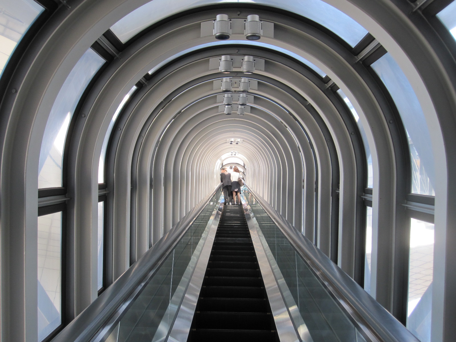
Escalator
top by the ‘Floating Garden Observatory’, a structure containing a restaurant, garden, and observation platform. A wide river runs through the city below, and the view is spectacular in all directions. The last stage of access to the top is via a long covered escalator which is said to induce vertigo in some people, but it didn’t bother me, which is unusual.
The view includes several bridges over the river, and from my map I knew that there was a Red Baron motorcycle shop at the far end of the third one along, so I decided to walk to it. Red Baron must be the largest chain of motorcycle shops in the world, and is named after the World War 1 flying ace, although I don’t think he had much to do with motorcycles or Japan. It was, by my standards, a very long walk, but there was plenty to look at along the way, including the view from the bridge. Back at the station I retrieved my case, found the bus to the airport and eventually arrived home after being awake for more than forty hours.
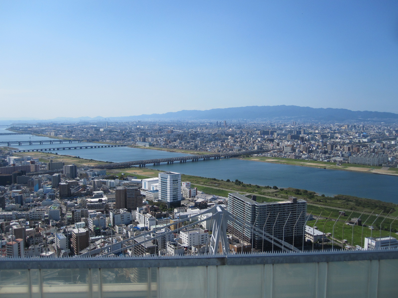
Osaka
Despite the obvious language problems Japan is actually a user-friendly country, in the sense that most of the time you can do what you want to do when you want to do it. The people are as friendly and helpful as they can be given the difficulties of communication. It is often said to be expensive and, like anywhere else, if you choose to buy your way through, staying in international hotels and eating in fancy restaurants, it will be. However, if you operate at an all-Japanese level it is much more fun and far cheaper.
I found the driving easy, largely because other drivers are less aggressive than in Europe, and the traffic was no worse than in South-eastern England (which is not saying a lot).
.
.
Kosovo 2015
CLICK ON PICTURES TO ENLARGE
KOSOVO 2015
In the unlikely event than I am ever a contestant on Mastermind you can rest assured that my Specialist Subject will not be the "The History of Kosovo between 1990 and 2015". As the main source of information for my trip I took the Bradt guide to Kosovo, which is the only really dedicated guide to the country. Bradt specialises in guides to less well-known areas and they are highly respected, but I must admit that I found the sections covering the above-mentioned subject very hard going.
From the creation of Yugoslavia in 1918 until almost the end of the 20th century Kosovo was in effect a semi-autonomous region of Serbia, although a high proportion of the population considered themselves to be Albanian. During the 1990s, as Yugoslavia broke up, ethnic tensions came to a head in most of the former states, and Kosovo was one of the worst affected when the Serbs put pressure on the Albanians, ultimately driving many of them out of the country. The Albanians struck back, aided by NATO forces, with an all out war in 1999, leading to many casualties and widespread destruction of property. This led to a massive ongoing international peace-keeping effort to resettle the displaced Albanian, Serb and Roma populations and rebuild the country. A number of agencies were and still are engaged in this work, examples being KFOR (NATO Kosovo Force), UNMIK (UN Mission In Kosovo) and EULEX (European Rule of Law Mission).
In the early 2000s the precise status of Kosovo was uncertain, but it eventually declared its independence in 2008. That was accepted by the UK, the USA and most EU countries, but it is still not recognised by Russia, China, Serbia and many other nations around the world. If you enter Kosovo directly by air and get a Kosovo stamp in your passport as I did, you cannot cross the border into Serbia, because the Serbs still regard Kosovo as their territory and consider that you have entered illegally.
The nearest I had been to Kosovo was Albania, its western neighbour, which has a quite different history, and I really had no idea what to expect. I arrived at Pristina airport in the evening, and although it was mid-June it was dark by the time I had collected my car from Sixt . This was something I had hoped to avoid, but it always takes longer than you expect to get sorted after a flight. As usual I had booked the first night at a hotel close to the airport and had researched the route very thoroughly, because there is nothing worse than blundering around in the dark in a strange country.
In England there is still a perception on the part of many people that Kosovo is dangerous. The Foreign Office warns of the high level of gun ownership and unexploded mines in some country areas, as well as advising against visiting some Serb-occupied areas in the north. On the other hand, the two ladies who wrote the Bradt Guide pointed out that the murder rate in Kosovo is considerably lower than that in Stockholm.
The Hotel Vita seemed remarkably cheap by general standards and I expected it to be a bit rough, but it was quite good and they produced an excellent meal at about 10.00pm. When I asked the waiters if they spoke English they said “Deutsch”, although the menu that they gave me was in Albanian and English. Maybe they thought I was German, which often happens, but I was later to find that many people in that area have German as a second language rather than English, as a result of having worked in Germany or aspiring to work there.
The hotel was alongside a so-called motorway (M9) and was combined with a large filling station and store called AlPetrol. When Messrs. Carless Capel and Leonard registered the name Petrol for their petroleum distillate in 1870 I doubt whether they expected that it would be used 145 years later in places as far away as Kosovo and Bulgaria. This combination of hotel and filling station is very widespread in Kosovo and there were half a dozen within a few miles on the M9 south of Pristina. Bearing in mind that tourism is still in its infancy I think they are supported to some extent by the large international community working in the country.
As my return flight from Pristina was late in the last evening of the trip I decided to leave exploring the capital city until the end of my stay, and start by going in the opposite direction to a city named Pejë. Kosovo is quite a small country, about the size of Wales, with a good road network linking the main cities, so it does not take too long to get around. An ulterior reason for going to Pejë was the Rugova Gorge road, leading westwards from Pejë to the Montenegran border, where it is blocked to through traffic. It was on an internet list of the world’s most dangerous roads, with photographs of tunnels, sheer drops and overhanging cliff faces.
The M9 from the Vita Hotel to Pejë is a single carriageway road for much of the way, and lined with buildings for most of the distance. Planning controls are virtually non-existent in Kosovo, and it seems that you can build anything you like anywhere you like if you have the land. A particularly striking feature of the landscape is the extraordinary number of part-built houses. Many of them are quite large three-storey buildings which would be expensive in most parts of northern Europe and the economics are hard to understand considering that Kosovo is supposed to be a poor country. Apparently they often belong to people who live in the cities, and are known as “black” houses, because they have no electricity.
The entire country is blighted by a shortage of generating capacity, and power cuts are common, with supplies being rationed on a routine basis in some areas. Many businesses and other people who can afford them have generators, which are inefficient and expensive to run compared to a mains supply, and this situation obviously deters foreign companies from setting up in Kosovo.
Maps of Kosovo are hard to come by in England, and I was using one of the few dedicated maps of the country by Freitag & Berndt obtained via the Internet. It showed an alternative route to the main road between a small town called Klinë and Pejë that I thought might be more interesting, but when I tried to find it it turned out to be a dirt road. On the map it appeared to be good and I realized that the road network was less well-developed than I expected, so there was little choice but to go back to the M9. The map gives the Albanian and Serbian names of every place shown, incidentally, but for this report I am using only the Albanian names.
The plan was go through Pejë, drive the Rugova Gorge Road and come back to the town and stay in a hotel for the night. The town was hectic, but not too difficult, and so far the driving had been much better than I expected, by which I mean other people’s driving. Although they are mostly ethnic Albanians the standard of driving was a great improvement on that in Albania, which is one of the worst countries in the world in that respect. Running red lights and overtaking in the face of oncoming traffic are still the norm, but it is less fast and furious, without the total lack of discipline found in Albania.
Rugova gorge has a long history as a scene of conflict, which is presumably the reason for the military or police checkpoint at the Pejë end. Without noticing it I stopped to set up my video camera, and drove off just as the officer came over to speak to me, but there was no hail of bullets, so I think he decided that I was too old or looked too frail to be planning to overthrow the state.
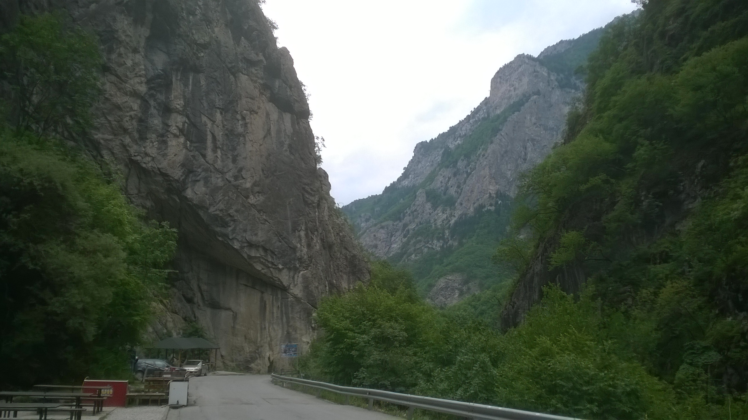
Rugova Gorge
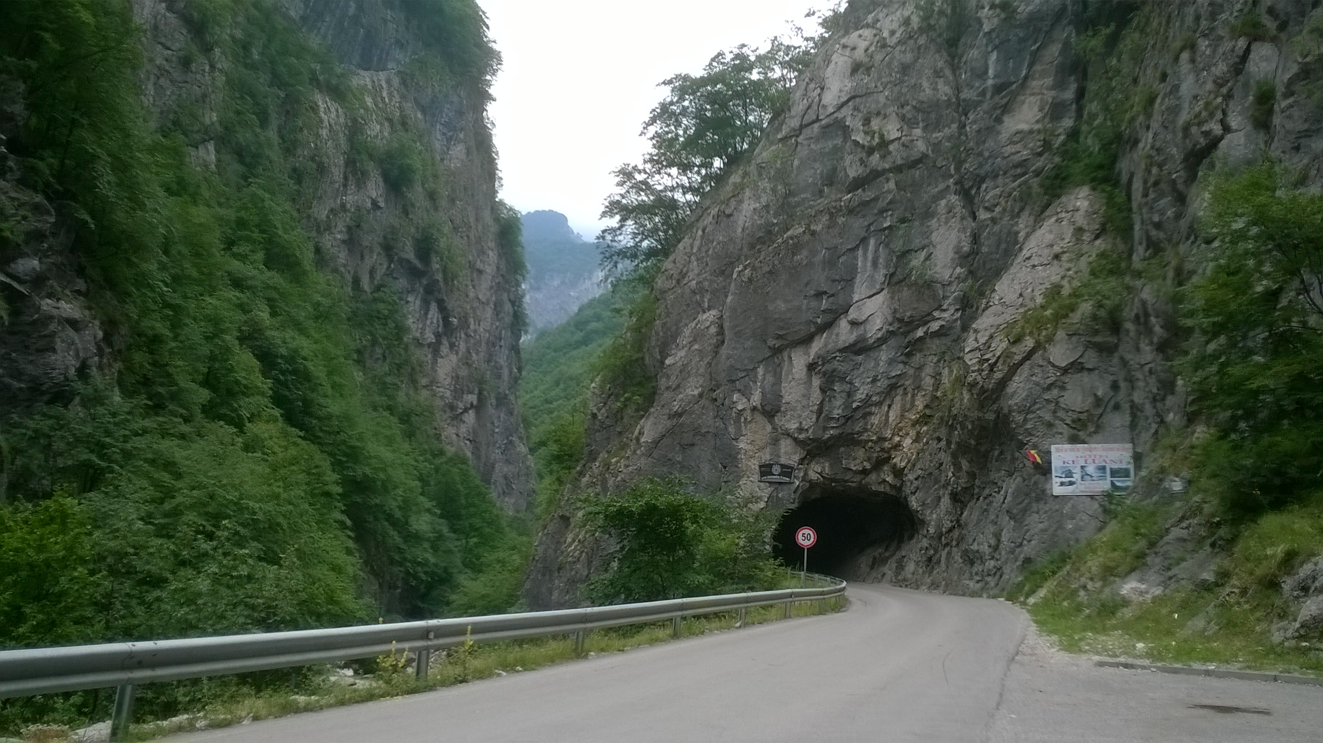
Rugova Gorge
The description of the gorge proved to be correct, with tunnels, overhanging cliffs and sheer drops rising to about 2000ft above the river. One tunnel was very narrow and dark, with a sharp bend in the middle of it. Even though there was little traffic it was difficult to take photographs while I was driving, and excellent pictures of the road hazards and scenery can be found by putting Ruguva Gorge Road into Google. The area is popular with walkers and climbers, although the guide books advise sticking to well-
used paths because a lot of mines have still not been cleared. The distance to the border with Montenegro
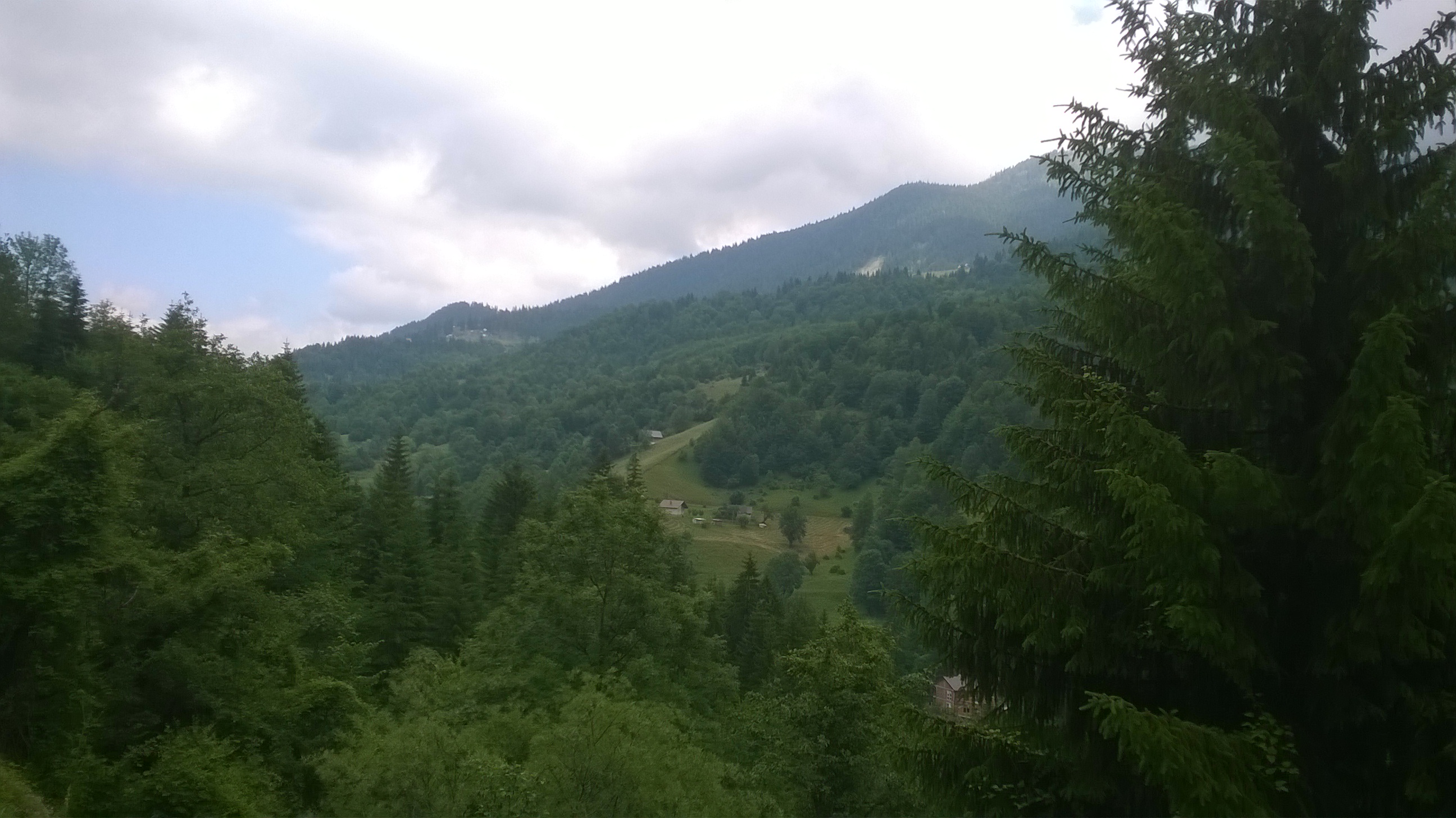
Boge
is about 16 miles, but shortly before that I turned onto the mountain road to the rather unfortunately named village of Bogë. Like most other places in Kosovo it is in a state of development, in this case with the intention of becoming a ski resort for Kosovars who cannot afford to go abroad. It has a very pleasant Alpine atmosphere despite the obligatory half-finished houses dotted around.
Pejë
Regular readers, if there are any, will know that it is very unlike me to stay in the best hotel in town, but that is what I had booked in Pejë. I am not sure whether it is actually the best, but it is probably the hardest to get to, due to the complicated network of one-way

Hotel Dukagjini
streets. It claimed to have secure on site parking, but this turned out to be an area of public pavement next to the hotel, watched over by a man in a little hut. The Hotel Dukagjini certainly had a wide selection of amenities, all for about one third of the price you would have to pay in Britain. It was adjacent to the main square in the town centre, and had a recently-built terrace alongside the river at the back.
Once sorted, I went for a walk to take in the sights of Pejë. This region of Kosovo was one of the most seriously affected by the 1999 war, and the town was largely destroyed. A few damaged buildings are to still to be found, but by and large it seems to have made a
Madeline 'Ollbright'
Wrecked house
good recovery, although according to the guide book much of the original character of the central area has been lost. A rather amusing feature of Kosovan towns is the naming of streets after western leaders who backed the people fighting Serbia in the war. Examples in Pejë are Madeline Ollbright Street and General Wesley Clark Street. One disappointment was that after an intensive search I failed to find Tony Blair Street, although it definitely exists.
Pejë was traditionally a centre for fine hand-made jewellery and still has an astonishing number of shops and stalls offering such products, but nowadays much of it comes from China and is obviously of poor quality. If it is bling that you are looking for you will find it in abundance in Pejë.
Kulla
The town also has some excellent examples of kullas, the traditional Albanian fortified towers with thick windowless walls on the ground floor, living accommodation on the first floor and more rooms with a sort of open balcony on the second floor. They were targeted by Serb forces in the war, and most of the existing ones have probably been rebuilt. The architectural style is reflected in many modern buildings, including some ‘black houses’
The next stage was to drive to Prizren, a fairly large city in the south of the country, via Dečan and Gjakovë. Just outside Dečan is the Visoki Dečani Monastery, described by Bradt as “the undisputed highlight and a real must for any visitor to Kosovo”. It is guarded by Italian KFOR (NATO) soldiers who took my passport and exchanged it for a badge to be worn on the premises. As I went into the grounds I heard one of them laboriously spelling out my name to another who was writing it down, though for what purpose I have no idea.
The monastery was a haven of tranquillity with a central chapel surrounded by ancient buildings that were not open to visitors apart from the shop and toilets. Photography is not permitted. The chapel itself was dark inside, with a vast number of faded murals extending right up to the high ceiling. The guide book suggested taking a torch to view the murals, but I would not really care to wander around flashing a torch powerful enough to illuminate the murals on the ceiling. The church is actually a Serb structure from the 14th century and has come close to destruction several times in this region of ongoing conflict.
Some distance the other side of a town called Gjakovë I stopped for coffee at a roadside bar where I was subjected to a rant in German by the elderly owner about Churchill and immigration. Churchill was apparently responsible for the state of post-war Europe and it was very unreasonable for our present government not to give Kosovars unrestricted entry to Britain. He refused to take payment for the coffee, presumably as a reward for listening to him.
Eventually I managed to get away, and completed my journey to Prizren via a scenic but poorly surfaced mountain road through a place called Zym
Prizren
Prizren
On the outskirts of town I found Motel Nafron, recommended by Bradt, and went on to park in the centre, or so I thought. In fact the town was larger than I realised, and despite the book and navigational aids I got lost. There were few people around apart from some men working behind railings in front of the fire station. One of them spoke a little bit of English and told me the direction to the shops. He was wearing a fleece jacket with Devon and Somerset Fire & Rescue Service embroidered on it, so I pointed at the lettering and said “You’re not in Devon and Somerset Fire & Rescue Service.” He laughed, looked across the station yard and said “Fire engine”. At the back of the yard was a red British fire engine that had presumably been donated to Prizren, along with the jacket, at the end of its working life in Britain.
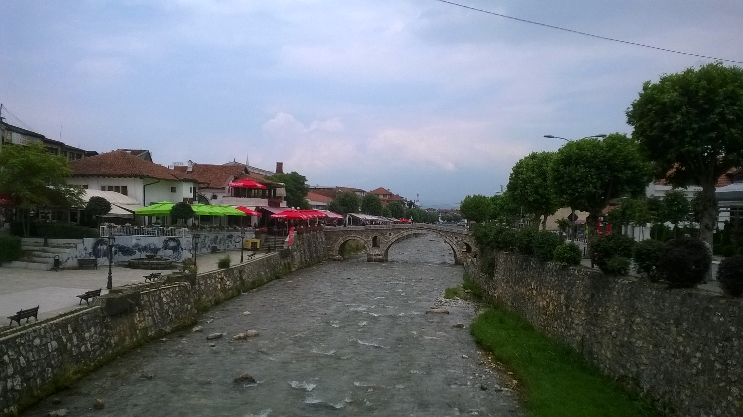
Prizren
Unlike the outskirts, the central area of Prizren was very attractive, with a river running through it and castle high on a hill in the background. A fitting home for the fire engine in its retirement. The river was spanned by several quaint stone bridges and lined with shops and restaurants, all of which seemed to be thriving. The general atmosphere did not seem compatible with the idea of a town that could not afford to buy a fire engine, which I later discovered had been driven from England less than a year before my visit.
As I was wandering about the main streets I suddenly became aware of the roaring of generators and realised that one of the famed power cuts was in progress. The shops remained open regardless of whether or not they were in near darkness, and nobody seemed at all bothered.
Ferizaj and the Bifurcation (maybe)

National Park
When I left the motel the next morning the owner was working on the forecourt with a hose and decided to wash my car , a service for which he refused to accept any payment. It was time to drive back to Pristina and instead of taking the motorway I elected to go via a town called Ferizaj, which took in a scenic route through a national park close to the border with Macedonia.
Ferizaj.is an ordinary town but quite lively, and when I parked the car to look round I saw a sign on a roundabout pointing to BIFURCATION. This is a word that I was not familiar with, and I thought it sounded slightly rude, but remembered seeing a reference to it in the guide book.
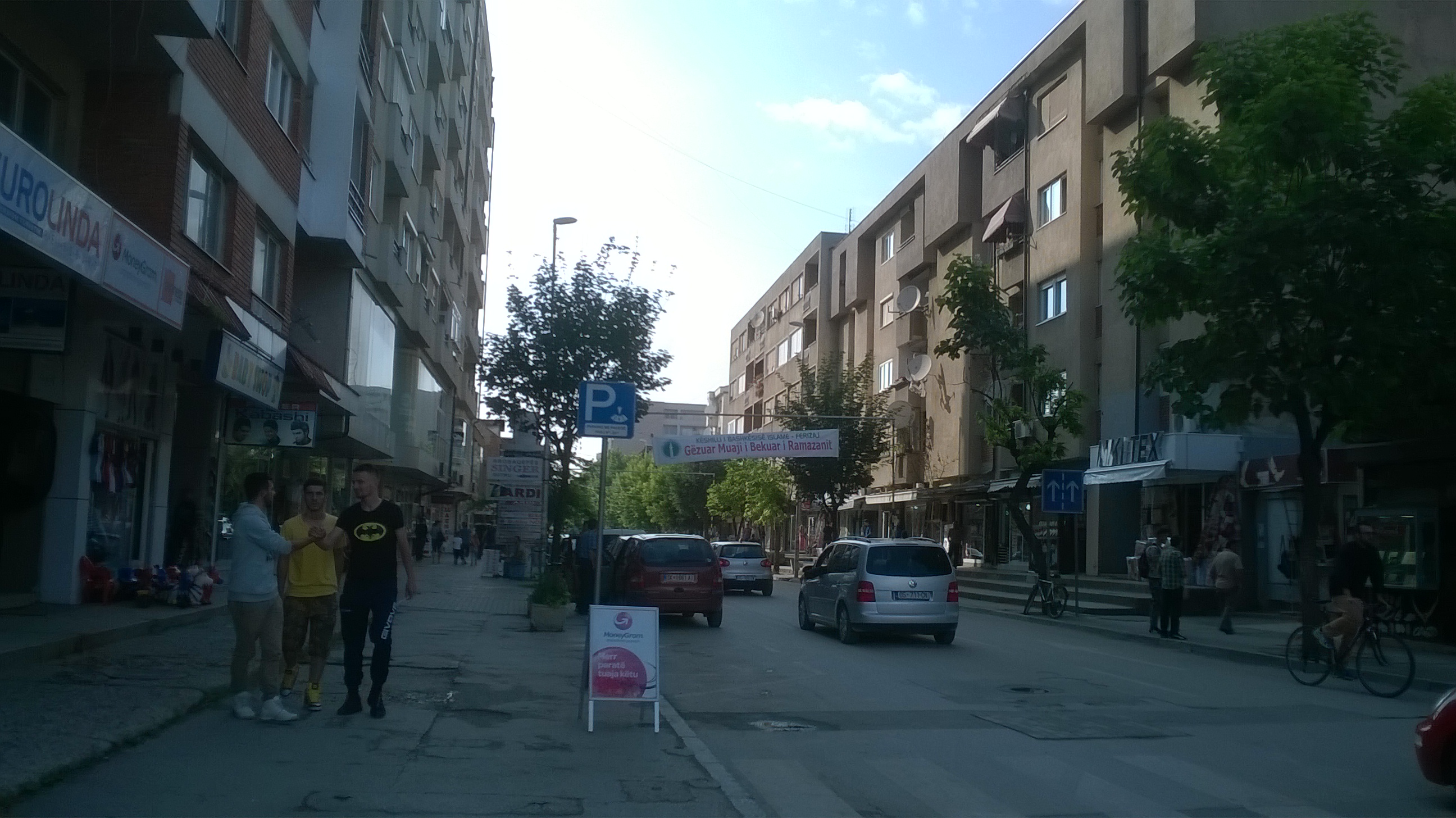
Ferizaj
A bifurcation is a place where a river divides and flows away in two different directions. At first thought this does not seem particularly remarkable, but in fact it is very rare, and the one near Ferizaj is the only one in Europe. The river is the Nerodime, which splits near the village of that name, a few miles west of Ferizaj.
It was rather late in the day, considering that I had to get to Pristina, but I decided to go to Nerodime in search of the bifurcation. There were only a couple of direction signs, so I had to find the village using my map, which was not difficult. The river, however, was elusive, and after driving miles around the area I could only find a few streams, which ran around in all directions. There was no clearly defined division, but looking at pictures and videos on the internet afterwards I think I did see it. It is just that it was less imposing than I had expected.
After this anti-climax the motorway to Pristina almost seemed exciting. It was more like a proper motorway than the M9 with few turn offs and I finished up going about 30 miles too far on the way to the Hotel Vita.
Pristina
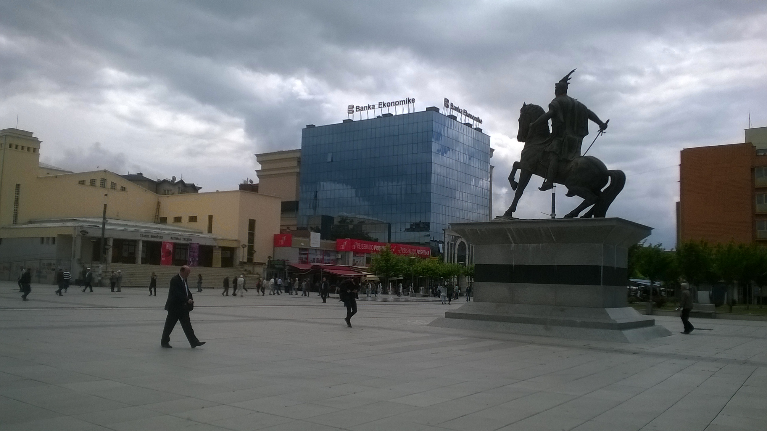
Skanderbeg and parliament
Once the commuter traffic had cleared the next morning I drove into the capital city and found somewhere to park all day at no charge within walking distance of the centre. Try that in London or Brighton.
A long street called Agim Ramadani took me past the University, the Art Gallery and the National Theatre, until I came to a large open space with a statue of a bloke on a horse in front of the modern parliament building. The man was Skanderbeg, the most prominent Albanian national hero, who in the 15th century fought valiantly though ultimately unsuccessfully to prevent the advance of the Ottoman empire.
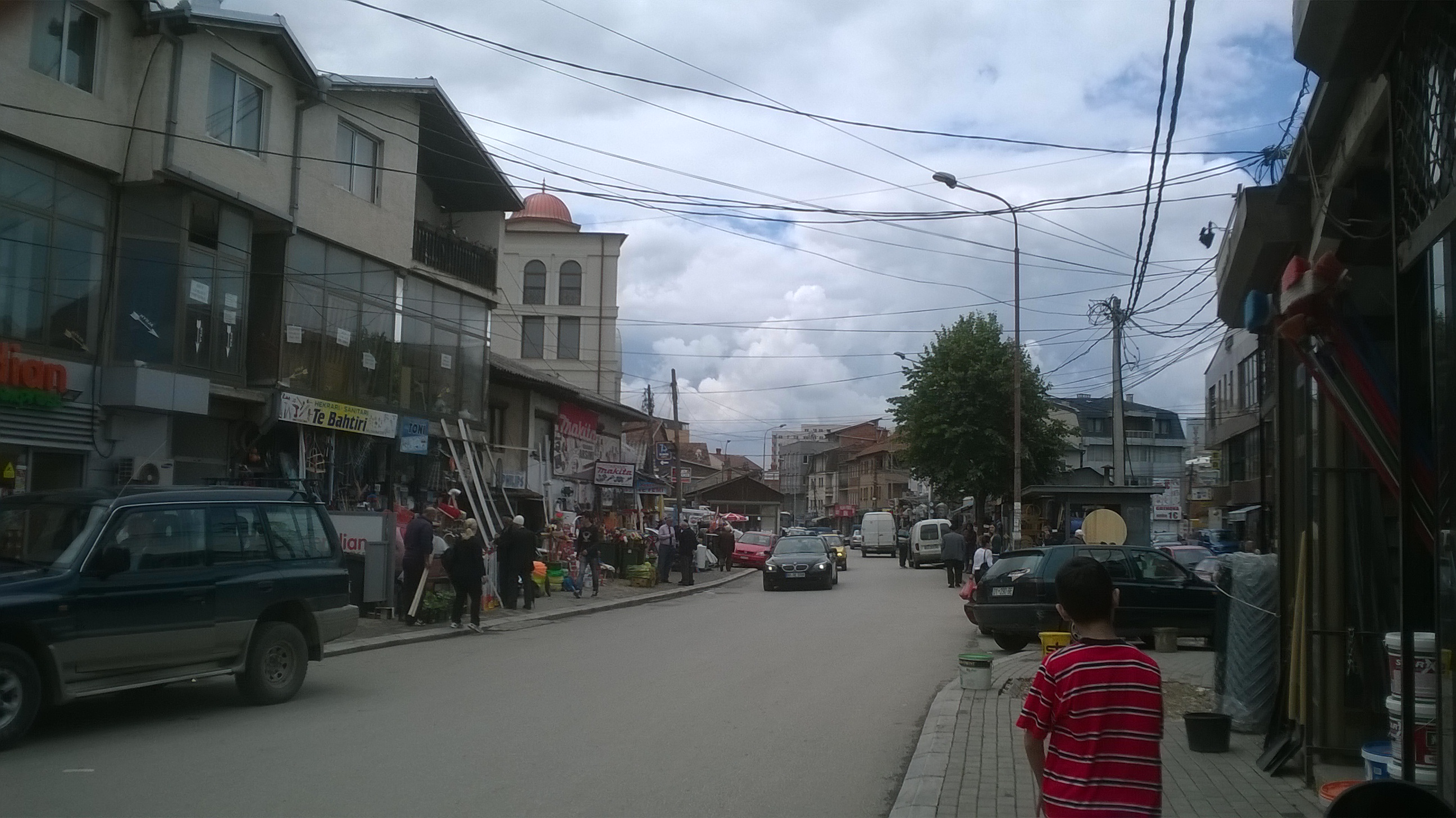
Old town street
Working my way northwards brought me to the Old Town with its clock tower and enormous market area. A notable feature of the market was the large number of stalls selling hardware, especially for outdoor use, which suggests that a lot of people have gardens or land of some sort. Unlike most former communist countries Kosovo does not seem to have the vast austere blocks of flats in the suburbs of its towns.
Another thing Kosovo is lacking is public lavatories. I could not see any in the market, but with the large number of stall holders I assumed that there must be some facilities, and I was directed to the far end of one of the gangways. A man sat on a chair in front of the Gents, the horrors of which exceeded anything I saw in the French campsites of my youth or the hutongs of Beijing. As I emerged trying not to choke he indicated that he expected to be paid and rather stupidly I gave him fifty euro cents (about 40p, the usual going rate), which was greeted with a grunt of dissatisfaction.
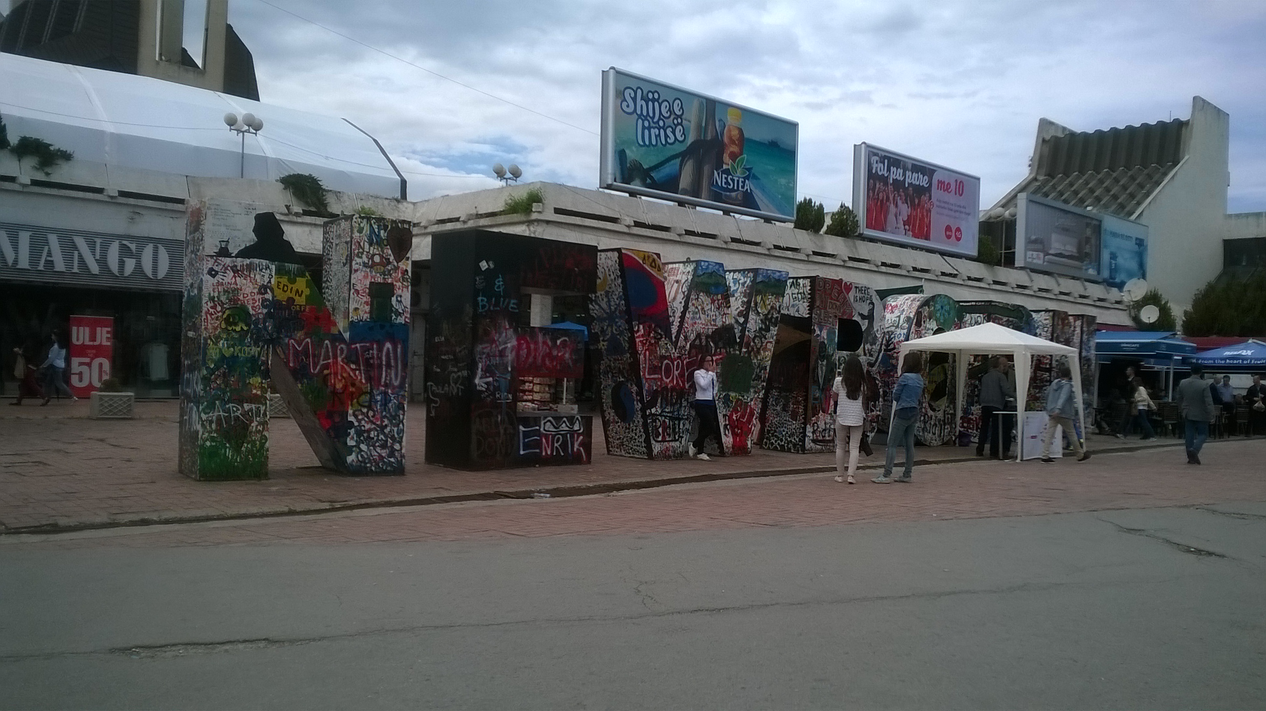
Newborn monument
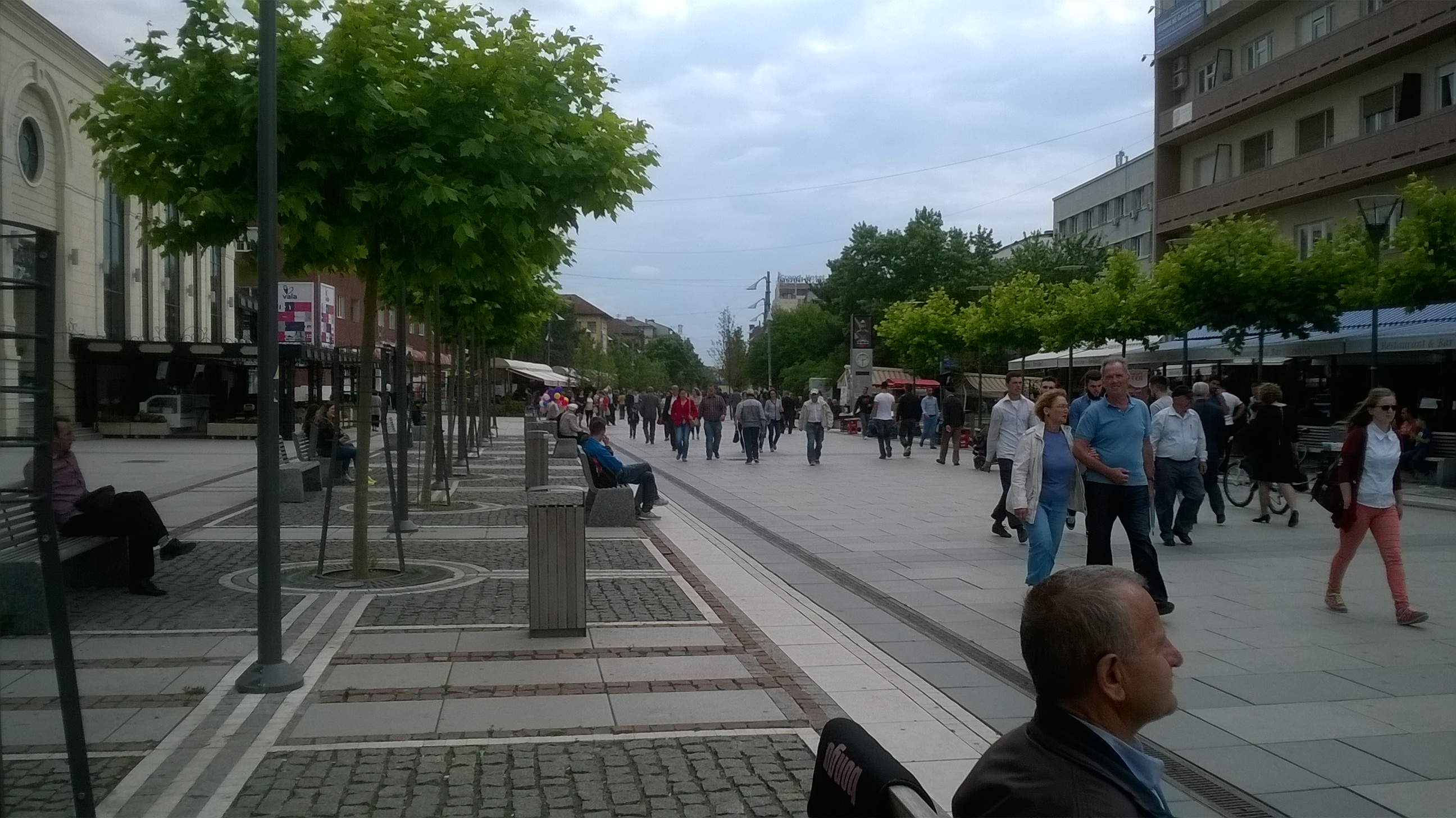
Boulevard
The route back to the car was via a wide pedestrianised boulevard, with lined with restaurants and crowded with people even on a Tuesday afternoon.
A short diversion took me to the Newborn Monument, a strange piece of sculpture created to celebrate the country’s independence. It consists of giant capital letters spelling NEWBORN, deliberately covered with graffiti as an expression of the nation’s new found freedom.
On the way to the airport I turned off the M9 to find somewhere to stop to sort the car out before handing it back and within a short distance found myself in the middle of a Roma encampment, with people washing cars, children tearing about on bicycles and mud all over the road. Just what I wanted when I was trying to keep the car clean.
First impressions of Kosovo with its ribbon building and lack of planning control might lead some people to see it as a dump, but in many respects I quite liked it. There is beautiful countryside if you venture off the beaten track, most of the people are friendly and it is undeniably cheap. In my estimation a British pension would stretch about two and a half times as far as it does at home.
United Arab Emirates and Oman 2015
CLICK ON PICTURES TO ENLARGE
United Arab Emirates and Oman 2015
The Emirates
The United Arab Emirates (UAE) actually consists of seven states or Emirates that were formerly, along with other parts of the Middle East, under British rule. After the British pulled out in 1971 they combined to form one country but still retained the internal divisions under control of the old ruling families, each headed by a Sheikh. They are strict Muslim societies with no democracy as it is understood in the West.
The two largest Emirates, well-known to most British people, are Abu Dhabi and Dubai, the others being Ajman, Fujairah, Ras al Khaimah, Sharjah, and Umm al Qalwain. Abu Dhabi is actually the capital of the UAE and by far the wealthiest Emirate, because it has most of the oil. It is largely thanks to the generosity of the ruling Sheikh of Abu Dhabi in sharing his wealth at the time when the UAE was formed that the whole country has remained stable and prospered.
My plan was to fly with Emirates Air Line from Gatwick to Dubai International Airport, hire a car, drive across to the east coast, down to Muscat in Oman and back through the desert. This would mean driving about a thousand miles in eight days, so I would be fairly busy.
For a change I was looking forward to the flight because it was on an A380, the world’s largest passenger aircraft, with over 500 seats as operated by Emirates. It was an overnight flight, arriving in Dubai at about 7.00am, by which time I had had no significant amount of sleep for about 19 hours. Dubai Airport is one of the largest and busiest in the world, and getting from the plane to the terminal exit involves a long walk, a long train ride, and a long wait for the baggage to come through. Eventually I got to the car rental office and picked up my Toyota Yaris, possibly not the most prestigious car in which to tour one of the wealthiest countries on the planet.
The earliest time I could check-in at the Ramada Beach Hotel Ajman, about 18 miles from the airport, was 2.00pm so I decided to take a small diversion to visit the Sharjah Classic Car Museum and spend the rest of the time on the beach until my room was available. Within a short time of leaving the airport I realized that this was a country of BIG roads, BIG roadworks, fast and furious driving, and a high rate of development in all respects. At home I had downloaded excellent offline maps of the UAE and Oman into my phone and tablet computer, both of which have GPS, so at least I could always find out where I was, but I would always be fighting against the very complex local traffic systems.
On the way to the museum I had a foretaste of what was to come when I was diverted by massive roadworks and finished up on what was clearly quite an old and run down industrial estate doing mostly metal fabrication. Most of the people around (mainly men) appeared to be from the Indian sub-continent, and that applies to all aspects of the labour market in the UAE, especially where tourism is concerned. Less than 20% of the population of the UAE are actual Emirati (Emirates citizens), and over 90% of the employees of private companies are ex-pats.
Ajman
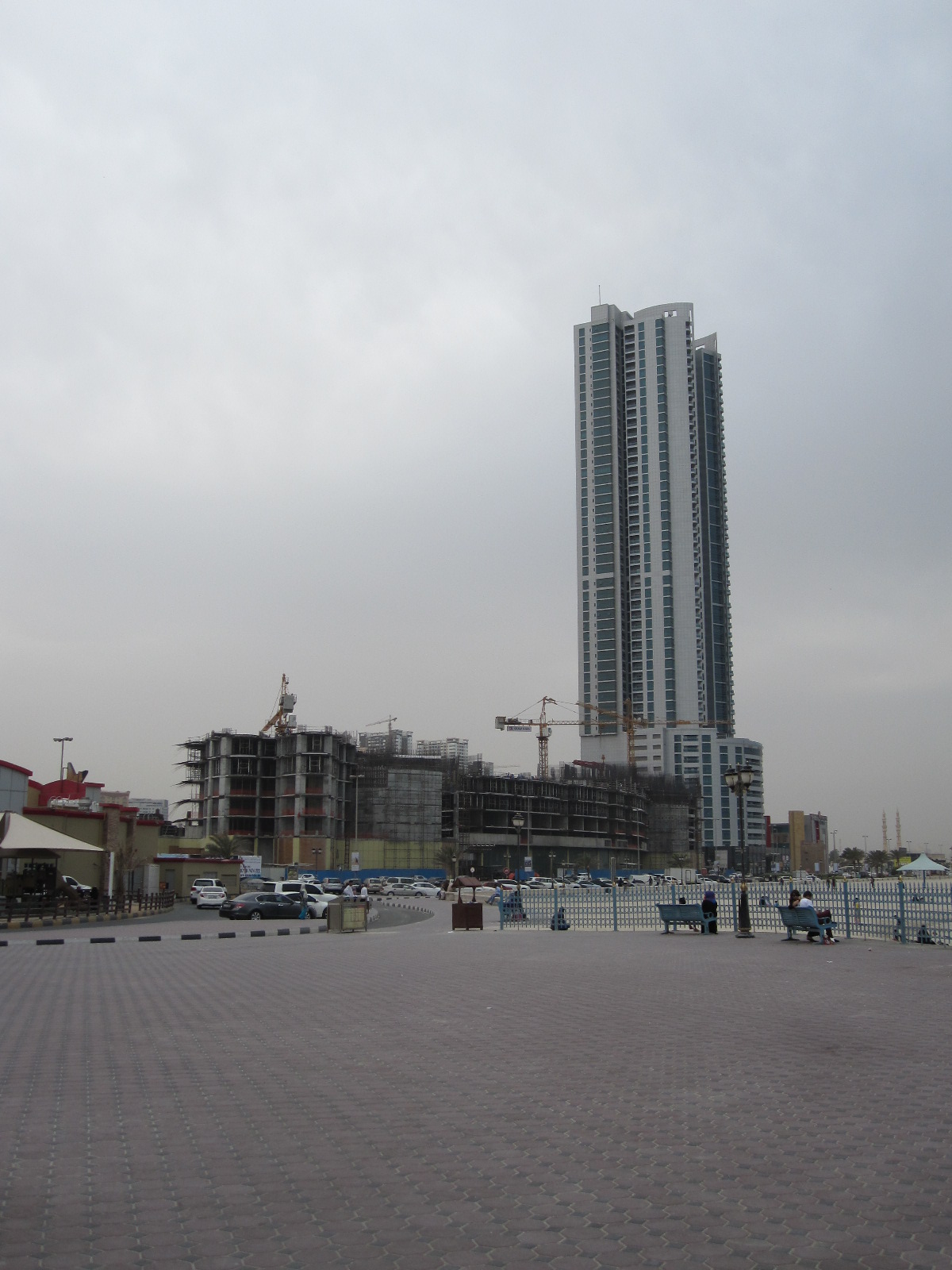
Ajman Beach
After the museum I drove through Sharjah to the coast and turned northwards into Ajman, until I came to the hotel. It had quite good reviews, but some people commented on the lengthy check-in procedure, which did seem complicated. My room was not ready, so I was given a ticket for the private beach across the road with “Waiting for Room” written on it. At the entrance to the beach the man would not let me in because there was no room number on the ticket. He rang the hotel reception, who told him they now had a room number for me, but he would still not let me in until I went back to the reception and got the number written on the ticket. After completing the check-in procedure, which took some time, I went back to the beach and found the man locked in combat with about six young ladies who were attempting to get through the gate. This was the first of many “jobsworths” I was to encounter in the course of my trip, and eventually I gave up and walked along to the public beach next door. This stretch of coast faces west onto the Arabian Gulf.
By early evening the lack of sleep was taking over and I retired for about 14 hours to catch up, being disturbed only by the periodic call to prayer from the loudspeakers on the mosque next to the hotel. They were indeed very loud, but for a visiting foreigner from a non-Islamic country it is an essential experience.
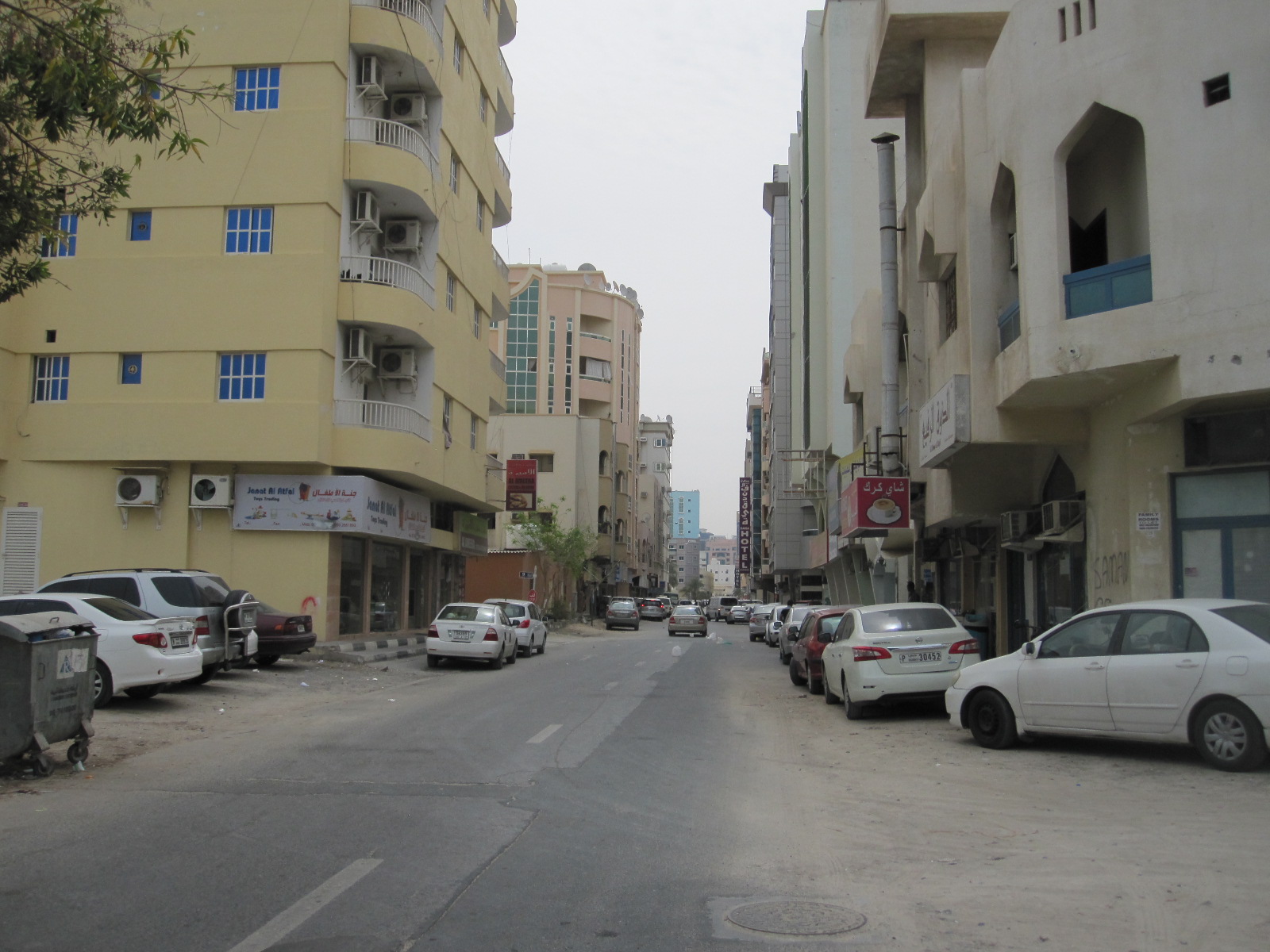
Ajman street
Although I had the maps in the electronic gadgets I wanted a paper map of the UAE to get an overview of the route I was taking around the country. I had tried unsuccessfully to get one in England, so before setting off for the east coast the next morning I had a look round the shopping streets near the hotel. The area is fairly European in character, but has the preponderance of barbers and tailors found everywhere in that part of the world. Eventually I found a big LuLu hypermarket with the map I wanted tucked away in the middle of it. Ajman, incidentally, has no public transport at all apart from taxis, in common with many other parts of the UAE.
To the East coast
From the hotel I had to drive eastwards through a large conurbation and had gone some way before I realized that I needed to get petrol before venturing into more remote areas. I could not remember seeing a filling station anywhere, so I managed to find somewhere to pull off the rat-race multi-lane urban highway to consult the map in my tablet. It showed only one petrol station within several miles, and that was awkward to get to, but there was really no choice. I started to take a short cut and found that many of the side streets had a rough dirt surface, and just at that moment a strong wind came out of nowhere and caused a small sandstorm.

Sharjah side road
When I finally came to the filling station it had two pump islands with attended service and long queues, so it seemed that this really was the only source of petrol in the area. The service was painfully slow and for some people complicated, with the process of filling the van in front of me involving several pieces of paper and signatures. For a country with the world’s third largest reserves of oil it was proving surprisingly difficult to get some into my tank, but at least it was cheap at approximately £0.32 per litre, less than one third of the price in Britain.
After a fast and boring drive on the Sheikh Zayed Bin Sultan Al Nahyan Road I reached the oasis town of Al Dhaid, where I risked a burger and chips in a café run by three shady looking characters and felt sure I would regret it later. Al Dhaid is clearly a centre for desert-based leisure activities with a number of shops renting or selling off-road motor cycles and quads.
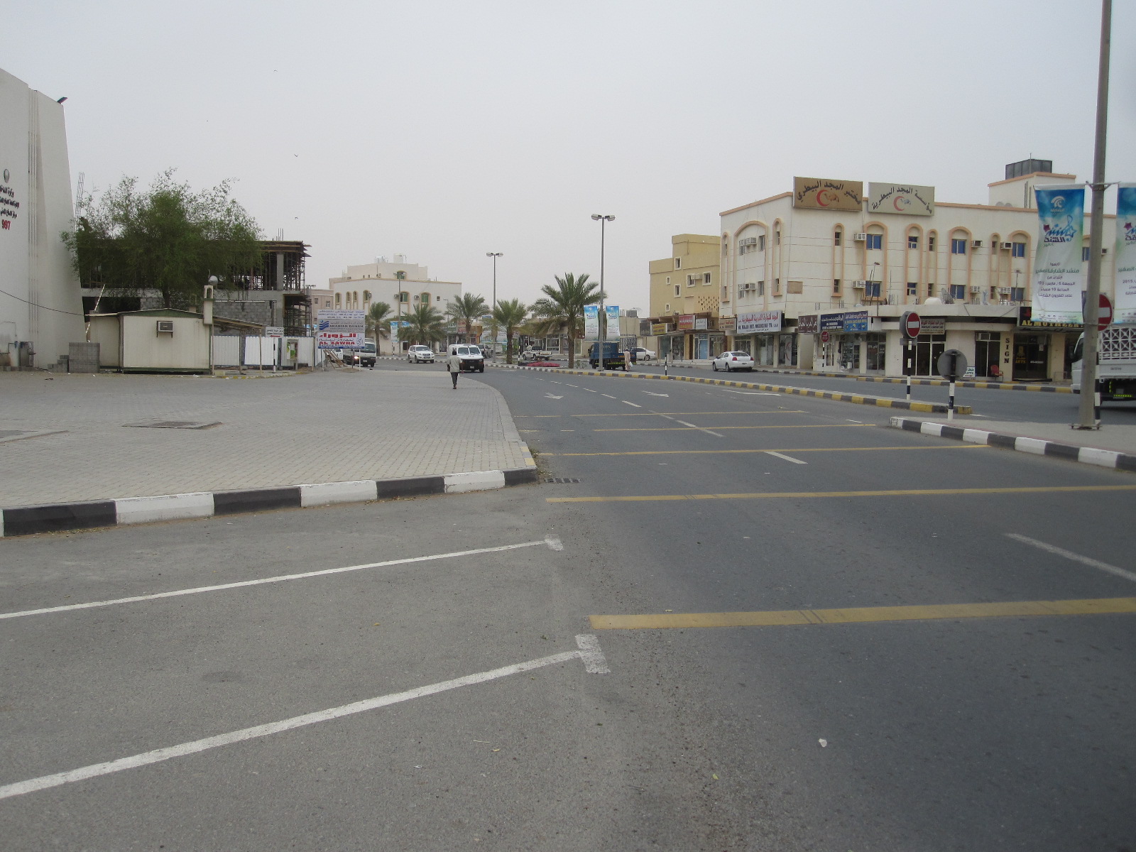
Al Dhaid
From Al Dhaid eastwards the scenery was more interesting, with camels in roadside pens and little goats wandering about in the desert scrub. Shortly before the town of Masafi was the Friday Market (actually open every day), a long string of shops selling carpets, household goods, fruit and vegetables and the usual souvenirs for tourists. The economics of this are a mystery to me. As in other countries, like Morocco, the people selling the carpets expect tourists to buy them, but I cannot imagine how you would get a twenty foot square carpet from Masafi to a house on the south coast of England. It is also hard to understand what happens to the fruit and vegetables. There were several large stalls piled up with them and from the relatively light traffic I could not see how there were anything like enough customers to buy more than a small proportion of the stock. The carpets and souvenirs could be dusted down for sale the next day, but surely most of the food would finish up being thrown away.
Soon after Masafi the road ran between slag heaps and I wondered what sort of mining operation had given rise to them.
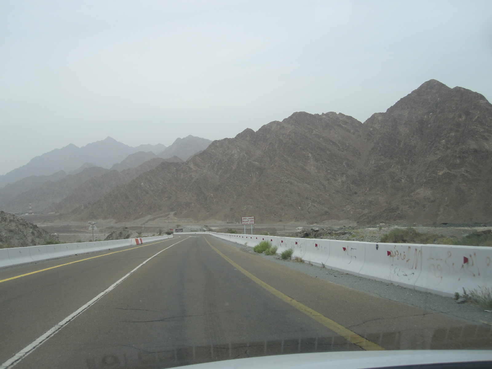
Hajah mountains
As I drove on they got larger and larger, and it turned out that this was the start of the Hajar mountains, which in that area look like huge piles of earth, the most unattractive mountains I have ever seen. The road went straight on to the coastal town of Fujairah, but I turned north towards Dibba and drove alongside the mountains for about 25 miles. At Dibba the road runs through to a stretch of coast on the Gulf of Oman, with good sandy beaches and smart hotels. According to the guide books this is a good area for a beach holiday away from the crowds.
A large part of the peninsular north of Dibba actually belongs to Oman, and there is also a little bit of Oman like a land-locked island in the mountains between Dibba and Fujairah.
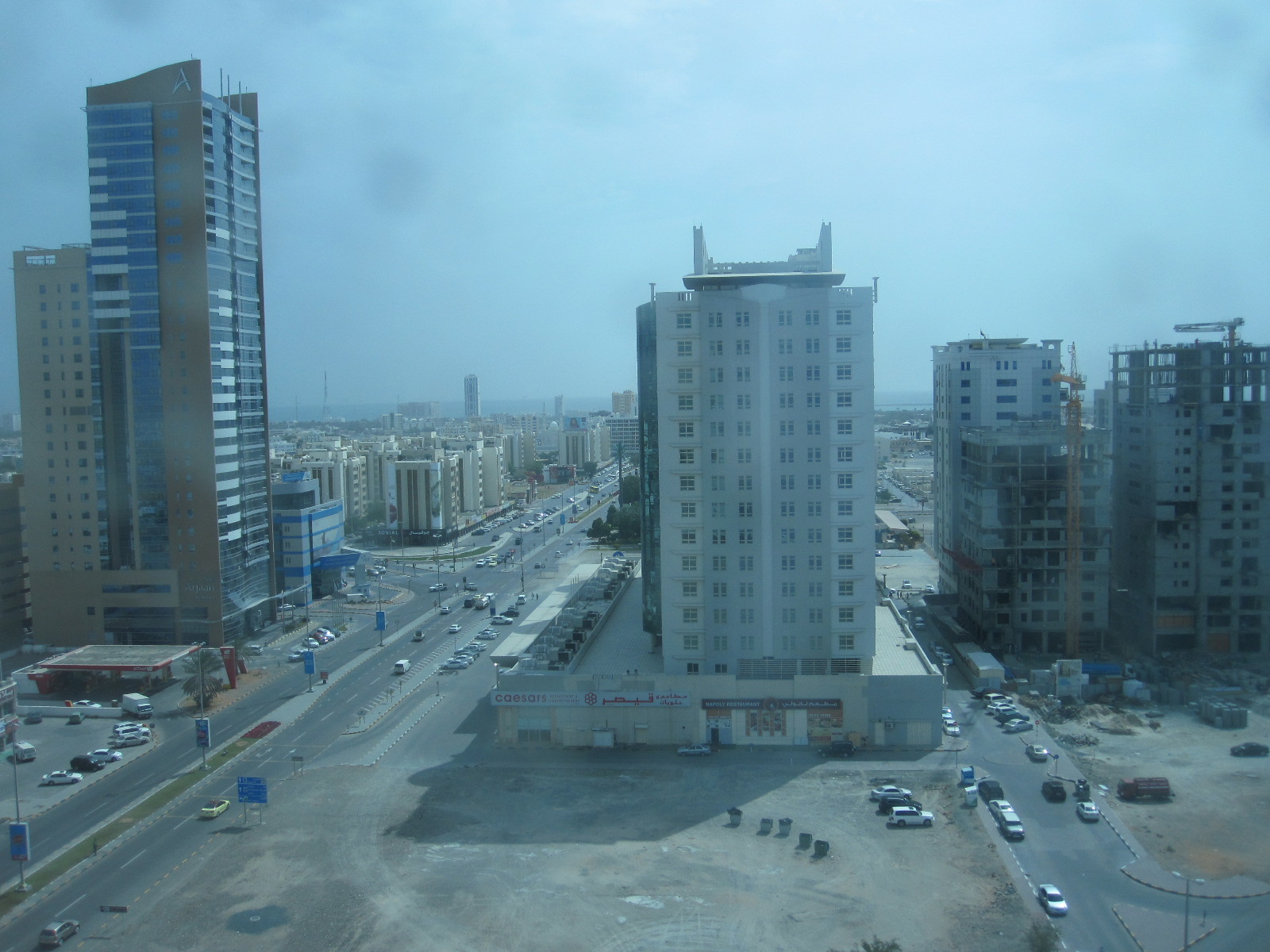
Fujairah
My plan was to stay the night in Fujairah, about forty miles south of Dibba. The road runs past coastal resorts with occasional sea views for most of the way until it comes to the hectic Fujairah port, which is the world’s third largest oil refuelling port after Rotterdam and Singapore. Fujairah is definitely a town here to come, with a massive area of development at the western end of the main street, including an international airport and several tower block hotels. It is like a little bit of the USA on the east coast of the UAE and after booking in at the recently-built IBIS I went for a walk to soak up the lack of Arabian culture. A few weeks before my visit, incidentally, two British men were arrested for plane spotting at Fujairah airport and were still being held on suspicion of spying.
Oman border to Muscat
My aim the next day was to drive down the coast road to Muscat, the capital city of Oman, a distance of about 180 miles from Fujairah. The UAE/Oman border post is about 12 miles south of Fujairah, and I was deluded enough to think that as the two countries are friendly the border crossing would be quick and easy. When I collected the car in Dubai I had to pay £60 extra insurance for use in Oman, and I was told that if “anything happened”, a phrase that I have heard before on my travels, it was my responsibility to get the car back into the UAE. I asked how I could do that, and they said there was an emergency number. I could not imagine whom it would be connected to, but if you worry about such things you would not do anything.
At the frontier post I pulled alongside the kiosk and a man standing nearby indicated that I should move the car to one side and take my passport into the officer in the kiosk. The officer took my passport and stared intently at the front cover for some time, before flicking through it and examining the contents in great detail. He was obviously looking for my UAE entry stamp, which I pointed out to him, but he was not satisfied with that. While this was going on he kept interrupting the process by dealing lorry drivers as soon as they arrived, and I thought I was going to be there all day. He did not speak any English, but eventually another officer arrived who said something I did not understand, and a lorry driver behind me said “He wants 50 dirhams” (about £10). Apparently it was tax and as soon as I paid it I was sent on my way, thinking I was in Oman.
But no. About 300 yards along the road was another kiosk containing an officer who looked at my passport and sent me over to a building at the side, in which two men in uniform were sitting behind windows. The first one looked at my passport and sent me to the second one. He looked at the insurance documents for the car and asked for the registration document. I could not see anything like a registration document in the envelope with the car papers, so I said “I don’t think I’ve got it”. He replied “You’ve got to have it”. I went out to the car and to my amazement found it in the form of a laminated card in the glove box. When I gave it to the man in the office he said “Card, please”. I said “That’s it”, and a lorry driver behind me said “No, he wants a bank card”. When I gave him my Barclaycard he charged 5 reals to it (about £10) and I asked what it was for. He replied “Tax”. So I had paid £10 exit tax to the UAE and £10 entry tax to Oman.
It wasn’t all over yet. The next kiosk contained a lady who asked for the small piece of paper. I said I hadn’t got a small piece of paper, but she said I must have, and after a frantic search among the papers on the passenger’s seat I found it. She stamped it, and 100 yards further along the road a man in uniform stopped me and took it from me. At last I really was in Oman, and drove away wondering what would happen to the Austrian couple who couldn’t find their insurance documents in the No Man’s Land between the two countries.
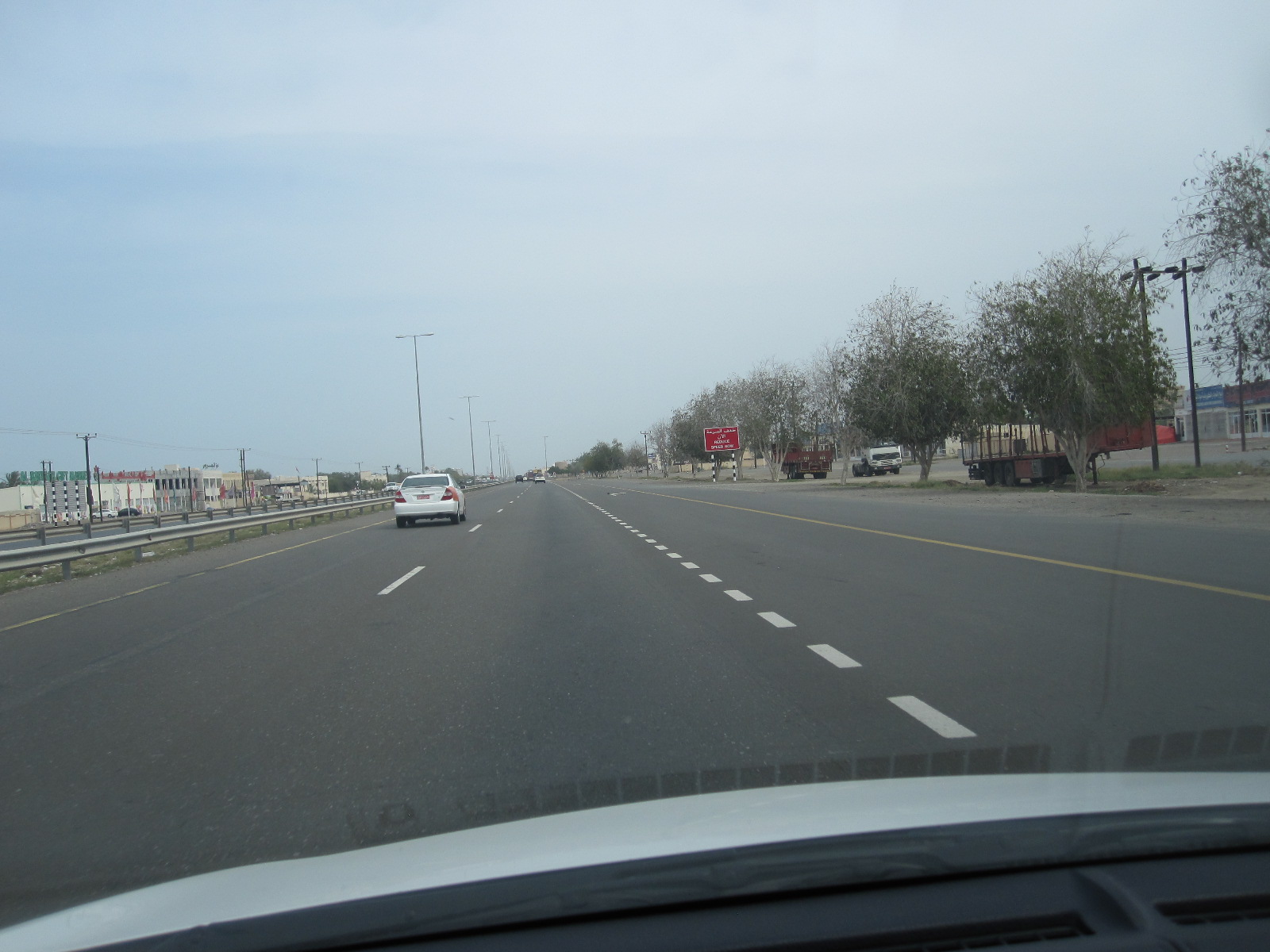
Road to Muscat
From here the road was a wide, well surfaced dual carriageway with a two-way service road on either side the whole way to Muscat. The eastern side, nearest to the ocean, was lined with businesses of one sort or another, ranging from rows of workshops to small farms, with some residential areas We are talking here of a distance of over 150 miles. Every few miles there was a junction with a roundabout and road humps, forcing the traffic down to walking pace momentarily, before resuming its manic speed. Around the coastal town of Liwa, with its international container terminal, the lorry traffic was heavy, and I thought the general standard of driving was worse than in the UAE. Speed cameras were fairly frequent, but ignored, and I think there is a belief that most of them are not working.
Muscat area
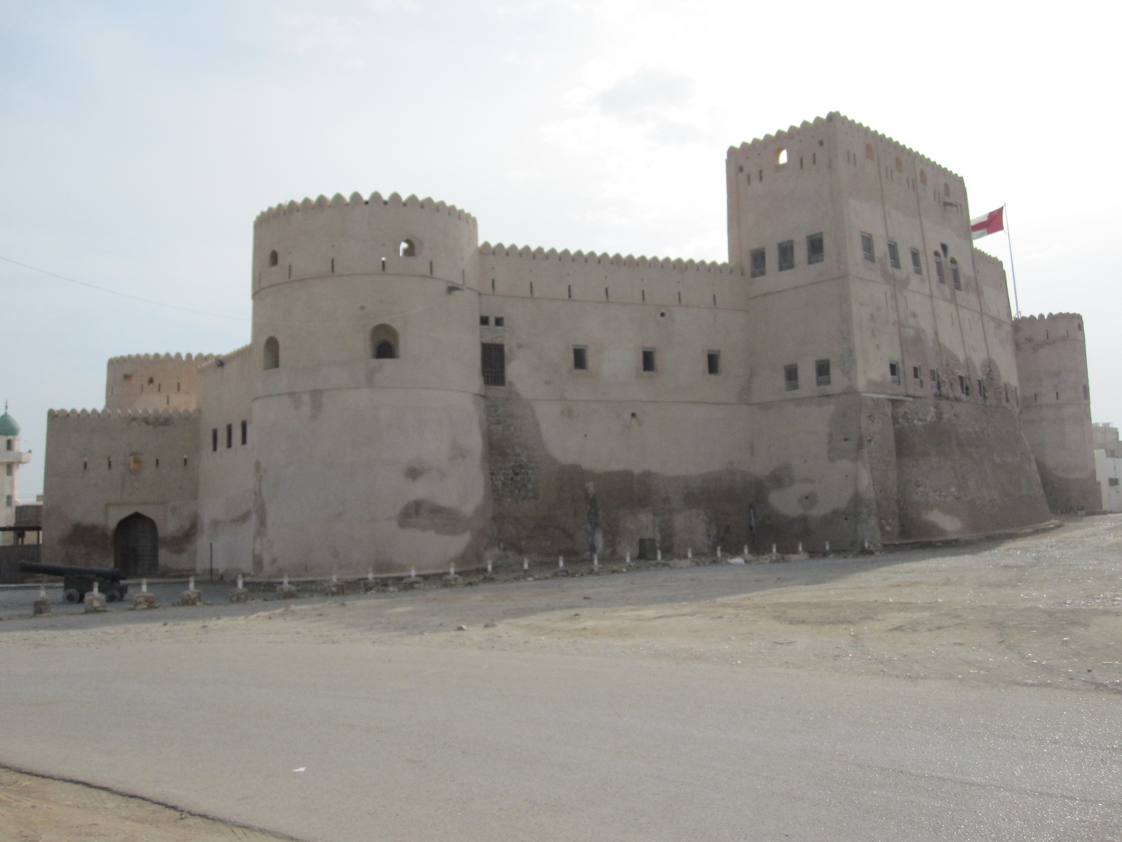
Barka Fort
My guidebook suggested that a town called As Seeb, a few miles before Muscat, was a great place to experience everyday Omani life, and I decided to spend the night there. On the way I went through a town called Barka, which had a wonderful fort like a children’s sandcastle. The guidebook and the map in my tablet both listed a hotel called Dream Resort near the beach as a reasonably-priced place to stay. It had a strange sort of slightly upmarket holiday camp atmosphere, with massive opaque glass doors between the bedroom and the en-suite facilities, and other supposedly stylish features. A letter of welcome on the table was signed Raj Shetty – Chairman and Managing Worker.
The town centre was within walking distance, and by the time I got there it was dusk, but it was still a hive of activity, with all the shops still open and very brightly lit. The tailors, mostly from Pakistan or Bangladesh I think, were beavering away at their sewing machines and the barbers all seemed to be fully occupied. There were lots of shops selling electrical, electronic and household goods as well as a wide choice of restaurants, and the whole place was booming. The guide book was right.
As Seeb
After a long walk round and a really good meal in a restaurant with a menu that showed pictures of the food it was about 9pm and the tailors were still tailoring and the barbers still barbering with no sign of slackening off.
The next day I was intending to look around the Muscat area and then drive about 75 miles inland to a desert town called Nizwa. From As Seeb I followed the coastline as closely as possible to a resort called Mutrah which faced on to a bay and harbour for container ships. The place was a madhouse, with people fighting for parking spaces in the centre, but I found somewhere to stop to take a few photographs. From here it was just a short distance to Old Muscat, which I expected would be full of tourists and impossible to park in. In fact, there were few people there and it was easy to park with no charge, but I found it rather disappointing. Apart from the Royal Palace, which is quite impressive, and two forts high up on the sides of the harbour, there is not a lot to see. Like almost everywhere else, the place was full of barriers to do with roadworks.

Old Muscat
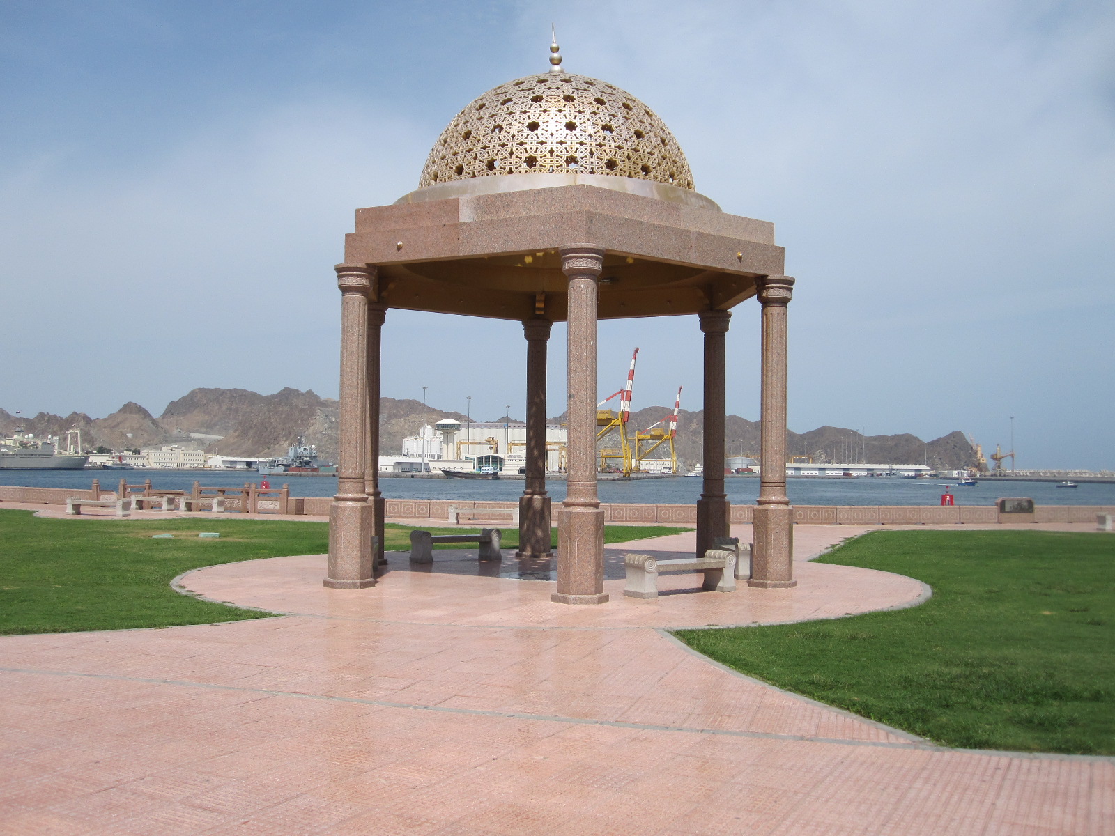
Muhtrah port
The road from Old Muscat led round to Ruwi, which is the commercial hub and business district of the capital city. The main street is a wide thoroughfare lined with banks and other modern office buildings comparable with anything to be found in Europe, leading to a square with a clock tower. Nearby is a small bus station, but I did not see any buses, and public transport appeared to be minimal, as is usual in that part of the world.
Considering that it was mid-afternoon on a Tuesday the main highway through the Muscat area was amazingly busy, and looking at the map it is hard to see where all the traffic was coming from. To get on to the road to Nizwa I had to go most of the way back to
Ruwi banks
AsSeeb and then turn off inland skirting the mountains. This was still more or less a motorway, with long winding bends and hills, the inside lane being full of lorries travelling at about 40 mph and the outside lane packed with cars nose to tail at 75 to 80 mph.
This was absolutely not what I had expected Oman to be like. I thought it would be a calm, quiet place, with a slow pace of life. Apparently it was like that until about 1970, when the present Sultan came to power, and he has transformed it into an advanced industrial nation with signs of the emergence of a democracy.
Nizwa

Way into hotel
The rat race gradually subsided as the traffic disappeared into settlements along the way, and by the time I reached the outskirts of Nizwa it became fairly civilized. As I entered the town I turned off looking for a hotel called the Majan that I had noted down. At that moment there was a clap of thunder and the heavens opened, producing within seconds the sort of flash flood that is common in the area. To make matters worse I had taken a wrong turning and entered a village called Farq (or Firq), which is a maze of incredibly narrow winding lanes, at that time all completely covered with water so that it was not possible to see the edges of the road. However, I could see that it was a wonderfully picturesque place, full of palm trees and ancient buildings, including many abandoned sandstone houses that had been left to erode away. After blundering about for a while I got back to the main road and discovered the Majan Hotel in the middle of a long stretch of roadworks, but it could only be reached by following an awkward diversion.
It was actually on a sort of layby that had been part of the main road, and was now the other side of a large and possibly deep pool of water. I left the car and walked along to the hotel, climbing over various obstructions to avoid the water. As I approached the door the manager came out and appeared to be keen to do business, which I suspect was not terribly good under the circumstances. We had a quick negotiation about the price and I asked him how to get to the car park. He said “I will show you” and walked back to the water with me and said “Through there and behind the little house”. The “little house” was a concrete building like a domestic garage standing in a different pool of water. I was rather doubtful about it, but at that moment a car similar to mine drove through and the water came just up to the bottom of the doors, so I decided to risk it.

Crumbling buildings
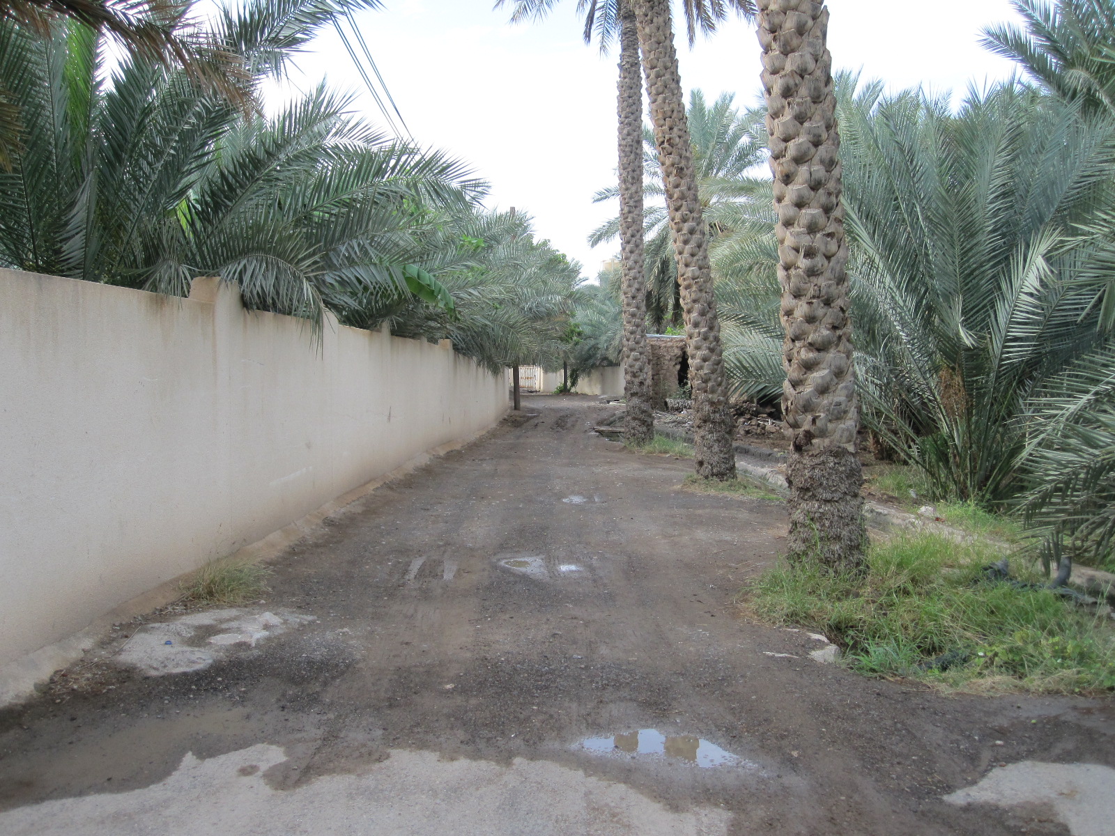
Road in Farq
Once sorted I went for a walk through Farq, which was immediately behind the hotel. By now it was dusk, and I had to take care to memorize the route even though I had a map in my phone, because it really was like a maze of tiny lanes and junctions. The buildings were a mixture of ancient and modern, with a fort and several mosques. The sandstone buildings were fascinating, because once they reach a certain state of deterioration due to erosion it is impossible to repair them and they are simply abandoned. There was also a tiny general store, a tailor making women’s clothing, and what appeared to be a communal washroom.
After about half a mile I turned back, and it started to pour with rain. The air was warm but the rain was not, and I was resigned to getting soaked when a very stylish Toyota 4 x 4 pulled up alongside me, and the driver, a young Arab man in white robes, asked in very good English if he could take me somewhere. I said I was on the way to the Majan Hotel, and he said he would take me there. As I thanked him and got into the car he said “It is my duty”. When we got to the water I said I would walk from there, but he insisted on taking me right to the door of the hotel.
The desert and Al Ain
The plan for the next day was to drive to a town called Al Ain just inside the Emirate of Abu Dhabi . Al Ain is actually joined to another town in Oman called Al Buraymi, and the area has a long history of border disputes up until quite recently. Before leaving Farq I checked with the hotel manager that it was possible to get through the border at Al Ain, because otherwise it would have meant returning to As Seeb and driving up the coast, a round trip of about 400 miles. There are more direct routes across the mountains, but my understanding was that they might not be passable without a 4 x 4, especially if the weather turned nasty.
Desert
The route through the desert from Nizwa to Al Ain is about 150 miles, and my maps showed about 60 miles of it as a twisty single carriageway road leading to a town called Ibri, at about the half way stage. All the books say you should take a supply of water before venturing into the desert, so I followed that advice by taking a litre bottle of mineral water. A large part of the way to Ibri was road works with heavy traffic where the single carriageway was being upgraded to motorway standard and in the event of a breakdown you would be more likely to die by being hit in the back by a fast-moving vehicle than from thirst or starvation.
From Ibri to the border the scene was entirely different, with a recently-built almost straight dual carriageway and little traffic. To discourage speeding there were cameras facing both ways every kilometer although I doubt whether many were working. So far the desert had been mainly scrub with a mountain backdrop, but it gradually changed to proper Sahara-style dunes closer to the border.
Proper dunes
The actual border crossing was in the desert some distance before Al Ain, and when I went through the exit post on the Oman side there appeared to be no one there so I drove on to the first UAE checkpoint. The lady there said I should have got an exit stamp from Oman, and sent me back, but before I could turn round I had to go right through the UAE security check and customs. When I eventually returned with the Oman stamp the same lady sent me into a building labelled Arrivals Lounge. The scene there was horrific. There was a desk with two people processing passports and vehicle documents and rows of chairs with at least forty people waiting. I was told to sit at the end of a row and my turn would come, which, judging by the rate of progress, would be in about three days time. However, a man suddenly appeared holding about forty passports, and most of the people went back to their coach with him, so I was actually through in about half an hour. Of course, I was subjected to all the security and customs checks again.
Al Ain
Al Ain was a pleasant surprise. I was expecting a dusty desert town like Al Dhaid, but it proved to be a smart place with the character of a European spa, and even the traffic was calmer and more orderly than I had seen elsewhere on this trip. The town has an abundance of hotels, all quite expensive by my standards, and I eventually settled for the Almassa, some distance from the centre.

View from Jebel Hafit
The next morning I visited a place mentioned in all the guide books, namely Jebel Hafit, a mountain that rises up to height of 1350m (approx. 4400ft) from the plain on the outskirts of Al Ain. A long, winding, well-made road leads to a massive car park at the top, with various view points on the way. The views are spectacular, especially over The Empty Quarter, a vast area of desert stretching away into Saudi Arabia. Close to the edge near the top is the circular Mercure Grand Hotel, the sort of place where James Bond would finish up hanging from the roof by his finger tips.
Abu Dhabi
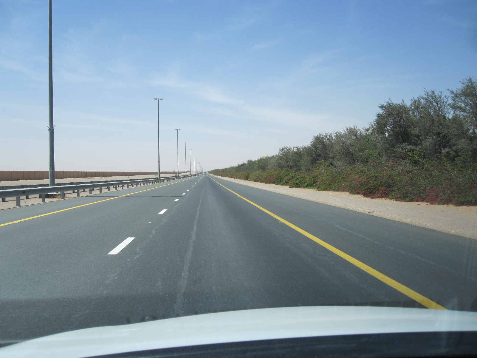
Truck road
It was time to move on in the direction of the west coast, towards Abu Dhabi. It appeared that there were two parallel roads, one being the main motorway E22, and the other, maybe less busy, the E30. The latter was easy to find and almost empty, although it was signposted Truck Road. It was like that for about 50 miles and I was congratulating myself on finding such a good route, when it went down to single carriageway and for some mysterious reason filled up with slow-moving trucks in both directions. After dicing with death for a while I cut through to the motorway until it reached the coast road near Abu Dhabi and then turned south to the Emirates National Auto Museum.
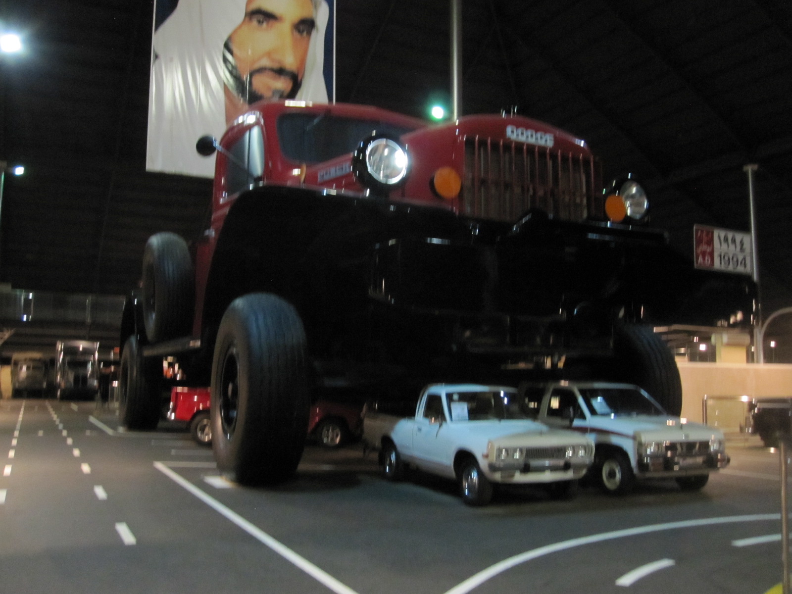
Giant pick-up
This museum is easy to find because it is housed in an enormous metal pyramid in the desert, visible from some distance away. The centerpiece is a gigantic 1990s Dodge pick-up, so large that several normal pick-ups were parked underneath it, and hanging from the ceiling above is a portrait of the sheikh who founded and owns the museum. The exhibits are many and varied from all over the world, with an emphasis on off-road vehicles suitable for use in the desert.
Back to Abu Dhabi city, a journey which consisted of a construction site for almost the entire 25 miles, followed by a search for a reasonably-priced hotel. Such a thing does not exist in Abu Dhabi, and I finished up at the uninspiring and still quite expensive Airport Premier Inn.
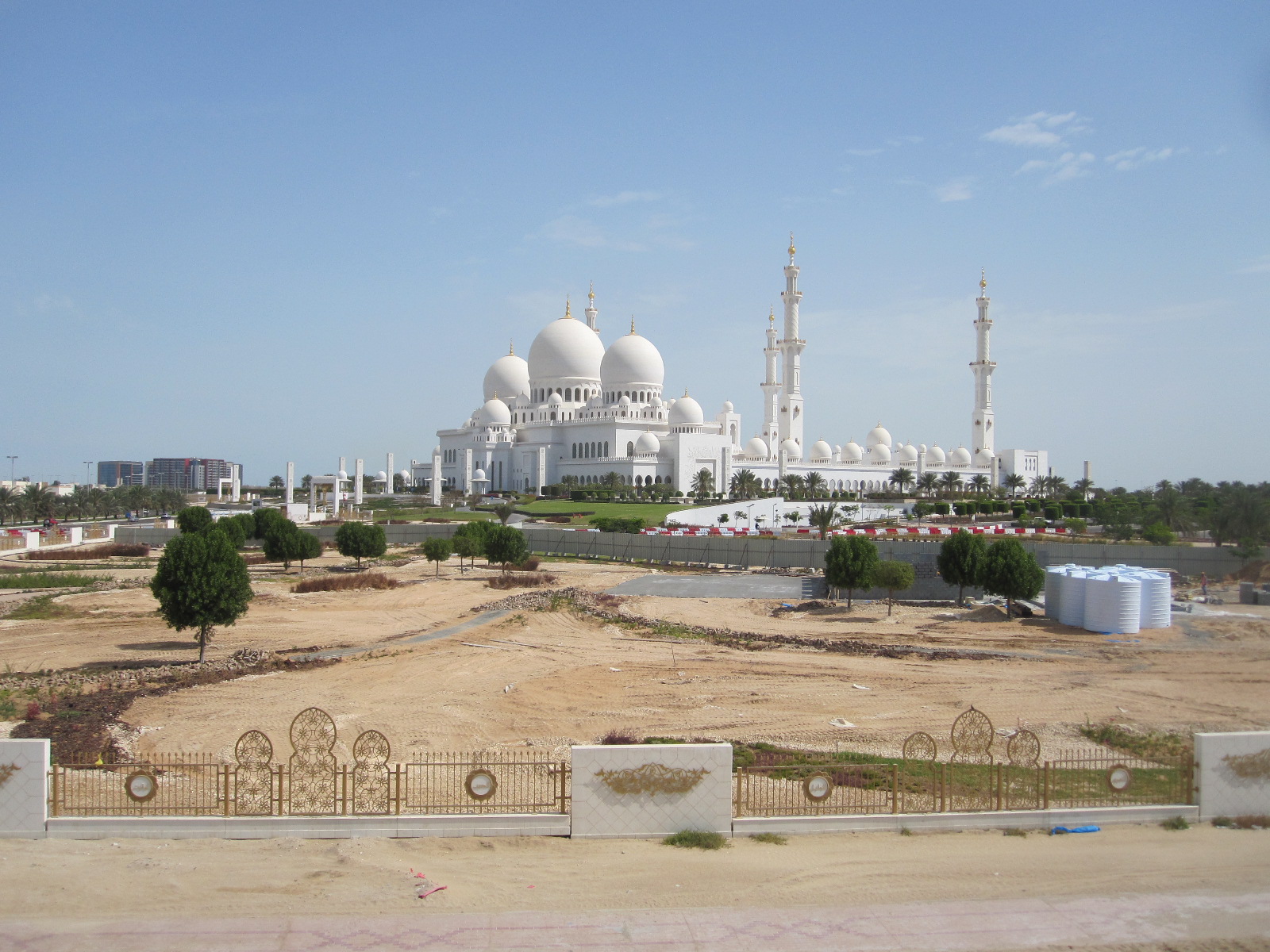
Grand Mosque
The first port of call the next day was the Sheikh Zayed Grand Mosque, which one of the very few in the UAE open to non-Muslims. Normally it is open for a while early every morning, but it was just my luck that it is closed on Fridays, the day I was there. It is a truly vast and magnificent building, only just finished.
Next was the Emirates Palace Hotel, another recent construction, with over 400 rooms and 114 domes. At the gatehouse I told the man in the smart uniform that I heard that it was possible to go in and look round. He said “Yes, Sir, but not with shorts. If you go away and come back with trousers you will be most welcome.” I turned round, found a building site (not very difficult) where I could change into trousers in the car, and went back. The man sent me through to the visitors’ car park without hesitation. When I entered the main hall of the hotel I immediately saw several men in shorts, and I think double standards applied, i.e. Toyota Yaris plus shorts – No, Bugatti Veyron plus shorts – Yes.
The hotel was vast and the décor opulent with, among the marble and gold, 1002 Swarovski chandeliers. Personally I would have gone for something a bit more flamboyant, but I was attracted by the world’s first Gold Vending Machine. It is very easy to use. You just decide whether you want 18- or 24-carat, select the brand (refining company), and pay with your credit card. The gold bar then drops out like a can of Coke, albeit somewhat smaller.
From the Emirates Palace the road runs along the ocean front with the main part of the city on the right hand side, and at the end I turned off into the shopping and business area. It was Friday, which is more or less equivalent to Sunday in Europe, so parking at the road- side was free and easy to find. Most of the shops and restaurants were open and after lunch I spent a couple of hours looking around the city.
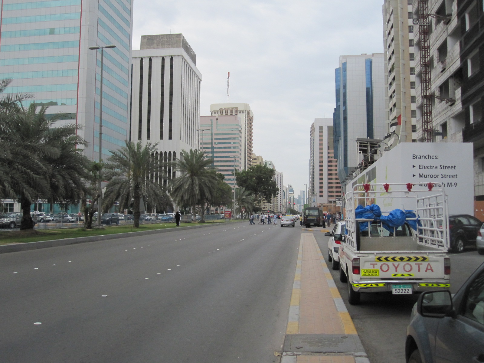
Abu Dhabi 5th street
Abu Dhabi city is actually on an island surrounded by other islands off the west coast of the UAE, and the motorway to the north crosses Yas Island, which is the site of the Formula One circuit. Close by is a new mall with 350 shops, intended to rival those in Dubai, although it is nothing like as big, but I did glimpse IKEA, Debenhams and M&S.
Dubai, the mall and the World’s Tallest Building
On the last day of the trip I had arranged to visit the Burj Kalifa in Dubai, the world’s tallest building, at 11am, so I booked the cheapest hotel I could find within reasonable driving distance, this being the easyHotel in Jebel Ali port, south of Dubai city. It is actually just outside the vast free port area, but I thought it was inside and finished up blagging my way through the customs post, but in the end it did not really matter. This was my first experience of an easyHotel and there was nothing, absolutely nothing, subtle about it, with a big orange sign on the door of every room along the corridors stating easyHotel. This was about as far from the Emirates Palace as you could get and there were definitely no gold vending machines.
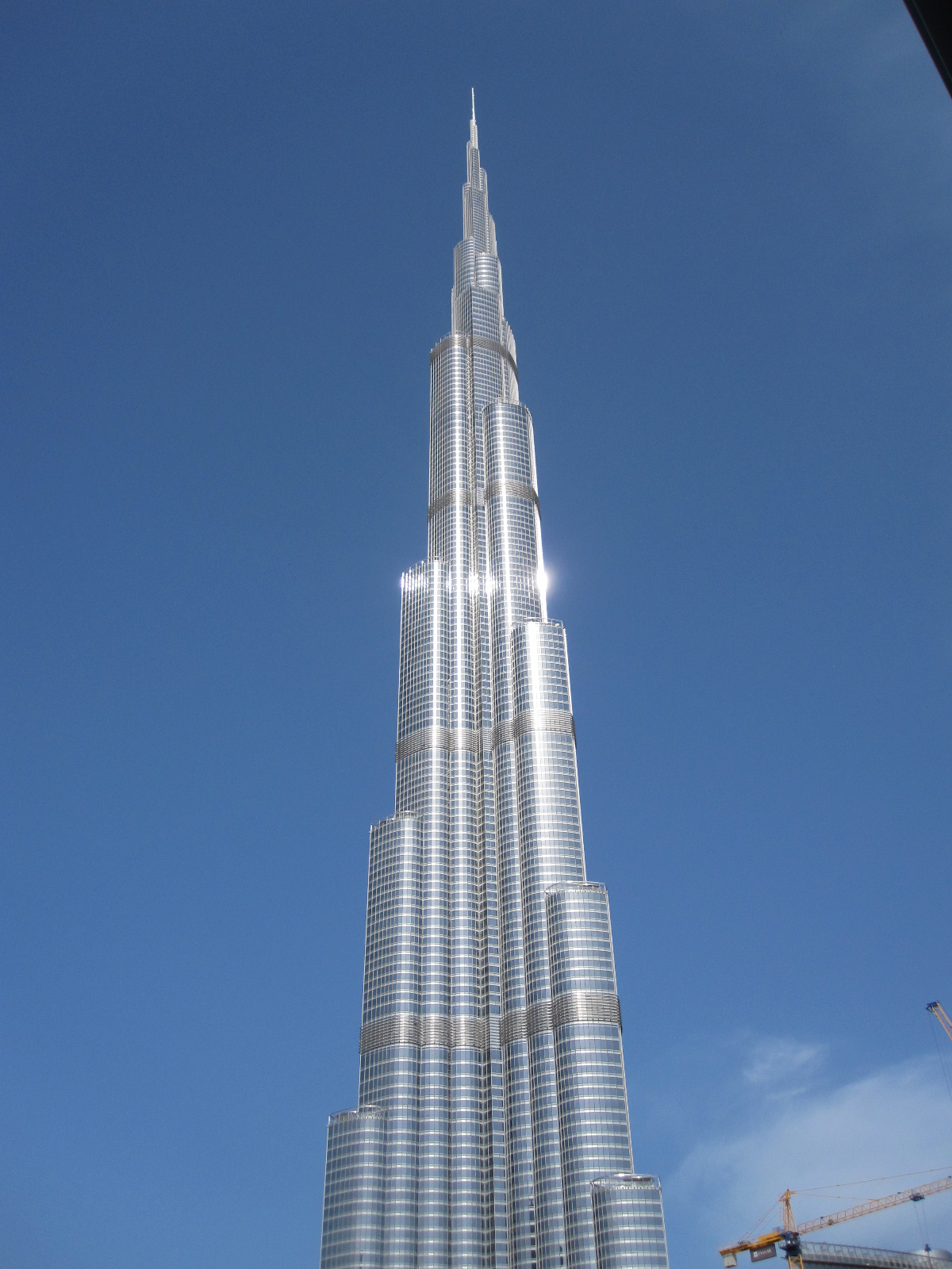
Burj Kalifa
Access to the Burj Kalifa is inside the Dubai Mall, the world’s largest shopping mall by total area, with over 1200 shops, and as it was less than an hour’s drive from the hotel I had time to look round before going to the tower. The three car parks have a combined capacity of over 14,000 spaces, and if you forget to note where you left your car you can put the registration number into a machine and the car park cameras will scan all the number plates and tell you where it is. Just about every large retailer in the world has a branch in the mall, and I saw British, American, and German ones that are not normally found outside their home countries. Fortnum and Mason have a big free-standing store in the area overlooking the lake next to the main complex.
The Burj Kalifa towers over everything around it in this city of skyscrapers. It is not just the tallest man-made structure in the world, at 828m (over half a mile) it is by far the tallest, its nearest rival being the Shanghai Tower at 632m. The Burj Kalifa has 163 floors, and poor people such as myself can go to the Observation Deck on the 124th. Successful criminals and other wealthy people can pay a lot extra to go to the 148th.
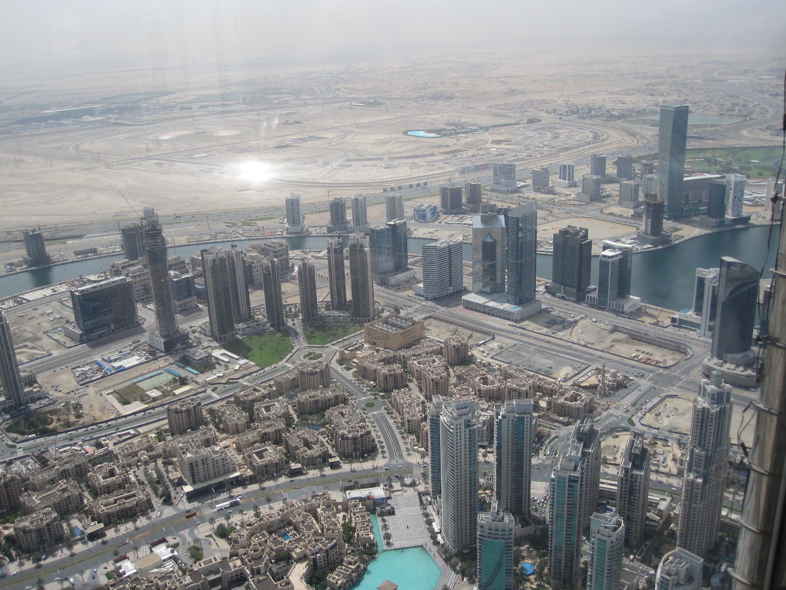
Skyscrapers from Burj Kalifa
After a small amount of queueing and a surprisingly unexciting lift journey the doors opened on to the Observation Deck, which has a circular walkway with windows facing in all directions. I have a poor head for heights and am not usually comfortable in high towers, but this one felt totally stable, just like being on the ground. It goes without saying that the view was fantastic, with a long stretch of coastline, including the Palm Jumeirah and other artificial islands. The sail-shaped Burj Al Arab Hotel could be clearly seen in the distance, but in some respects the most impressive sight was looking down on to the tops of the 40- and 50-storey buildings far below.
From the Dubai Mall I drove across to the coast and northwards to the Jumeirah Mosque, which is another of the few open to non-Muslims. Unfortunately I missed out again, because it is only open before 10.00am.
My flight home the next day was very early, so I took the car back in the evening and stayed at the Dubai Airport Premier Inn, with its purple décor contrasting nicely in my mind with the orange of the easyHotel. The car had travelled over 1100 miles in my hands, which I think was rather more than the rental company had expected, and the man who came out to check it went over it with a fine tooth comb. In the end we were scrutinizing tiny specks of dirt on the windscreen, but he ultimately had to sign the form stating that everything was in order.
A few notes
It was rather amusing to discover that my website (yes, the one you are reading) is banned in the UAE on grounds of “unsuitable content”. The most likely reason is that it contains an account of a visit to Israel. Until recently anyone with an Israeli stamp in their passport would not be admitted to the UAE. The Israelis got round the problem by putting the stamp on a separate piece of paper that had to be kept with the passport while the holder was in their country.
After eight days and 1100 miles I had still not seen any oil wells. Most of them are deep in the desert in Abu Dhabi or offshore.
As mentioned earlier, most of the people I met were not Emerati or Omani nationals, and by the end of the trip I felt more as if I had been to India than Arabia. Almost everyone spoke good English.
British influence is quite significant. The UK style 3-pin mains socket is almost universal, rather than the technically inferior 2-pin Schuko type that has been foisted on most of Europe by the Germans.
Supercars are surprisingly thin on the ground, and you would see more in a day in the West End of London than I saw on this trip. Apart from lorries most vehicles come from the Far East, with Mercedes, BMW, and Audi having a smaller market share than they have in Britain.
The cost of accommodation and food were on a par with Western Europe, but fuel and car rental were very cheap.
The rate of development is mind-boggling, and it is difficult to say where it is leading. I have a feeling that the end result will be more like Hell than Utopia, but I suppose it depends on how much you like shopping.
Bulgaria 2014-15
CLICK ON PICTURES TO ENLARGE
BULGARIA. 2014 - 15
It was to be an unusually long Christmas break, and I thought it would be a pity to waste it by not going somewhere interesting for at least a few days. Istanbul came to mind, but on further investigation it was going to be expensive and difficult to get convenient flights at short notice. Another place on my list was Bulgaria, which was much cheaper, with flights at sensible times from Gatwick. I had visions of flying to Sofia and driving across to the resorts on the east coast or down to Thessaloniki in Greece, although I was fully aware that Bulgarian winters are hard and these visions might be almost as unrealistic as those of the people who run the European Union.
The first time I heard of Sofia was in the 1960s, on the platform of a railway station somewhere just the other side of the channel. It was a business trip to Austria, and I had one leg in plaster following a skiing accident. My luggage was being taken by a porter to a train alongside which was a man shouting 'Sofia, Sofia', and I thought he was calling to his wife. In the nick of time I realised that it was the name of a place that I did not want to go to, although I had no idea where it actually was.
Back to 2014, and from the weather reports in the British press it appeared that Sofia was a few degrees colder all round than the south coast of England, which is not surprising considering that the city is at an elevation of 500m above sea level and immediately adjacent to a mountain that is used for skiing.
To avoid the horrors of dealing with taxi drivers at 9.00pm in a foreign city I had arranged to pick up a rental car on arrival and just drive to
Mount Vitosha view
an airport hotel. This proved to be a very good decision, because there was snow everywhere following a moderate fall the previous day. The recently built IBIS hotel was within the airport complex, easy to find and quite cheap. My second floor room had an expansive view to the south, overlooking Mount Vitosha, with its ski resort.
The plan was to spend the next day (Sunday) looking round the city, which has many splendid buildings, and the following day drive via a country route to Plovdiv, the second city.
Sofia
On the Sunday morning the temperature, at -7 degrees, was lower than it had been in any of the press reports. After the mild winter in the south of England it seemed terribly cold to me, but I set off bravely to drive into the city. The main roads had been cleared fairly well, but the side roads and pavements were covered with snow and ice. As required by law, my excellent Toyota Corolla was fitted with winter tyres, and these gave a better grip than I expected.
Sofia is a compact city, and after finding a parking space not too far from the centre I set off to follow the Lonely Planet Walking Tour, which takes in all the main sights in a distance of about 1.5 miles. The LP guide warns of the bad state of the pavements in Sofia, but did not mention the snow and ice, which were quite lethal. In many places everyone resorted to walking on the road.
Russian monument
I was actually doing the tour in reverse, starting at the Russian Army Monument, which is a typical display of
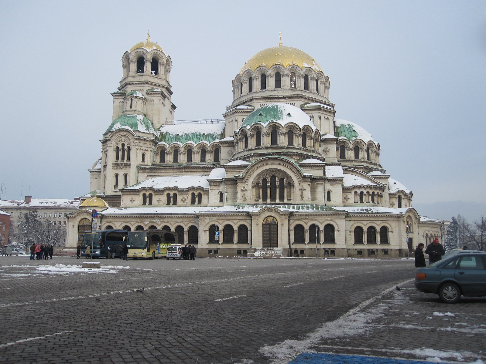
Nevsky Memorial Church
brutalist Soviet style sculpture in a park. Not far from there is the piece de resistance of the city sights , namely the Alexander Nevsky Memorial Church, which according to experts is a fine example of neo-Byzantine architecture. By this time its biggest attraction for me was that it was comparatively warm inside. Most of the interior was actually one large open space, although it did not actually seem as large as I had expected.
In the square adjacent to the church was an antique market with a considerable quantity of Warsaw Pact militaria, including uniforms, gas masks, and those wonderful ornate Soviet officers’ wide-brimmed caps. If I could think of a suitable occasion to wear it I would get one.
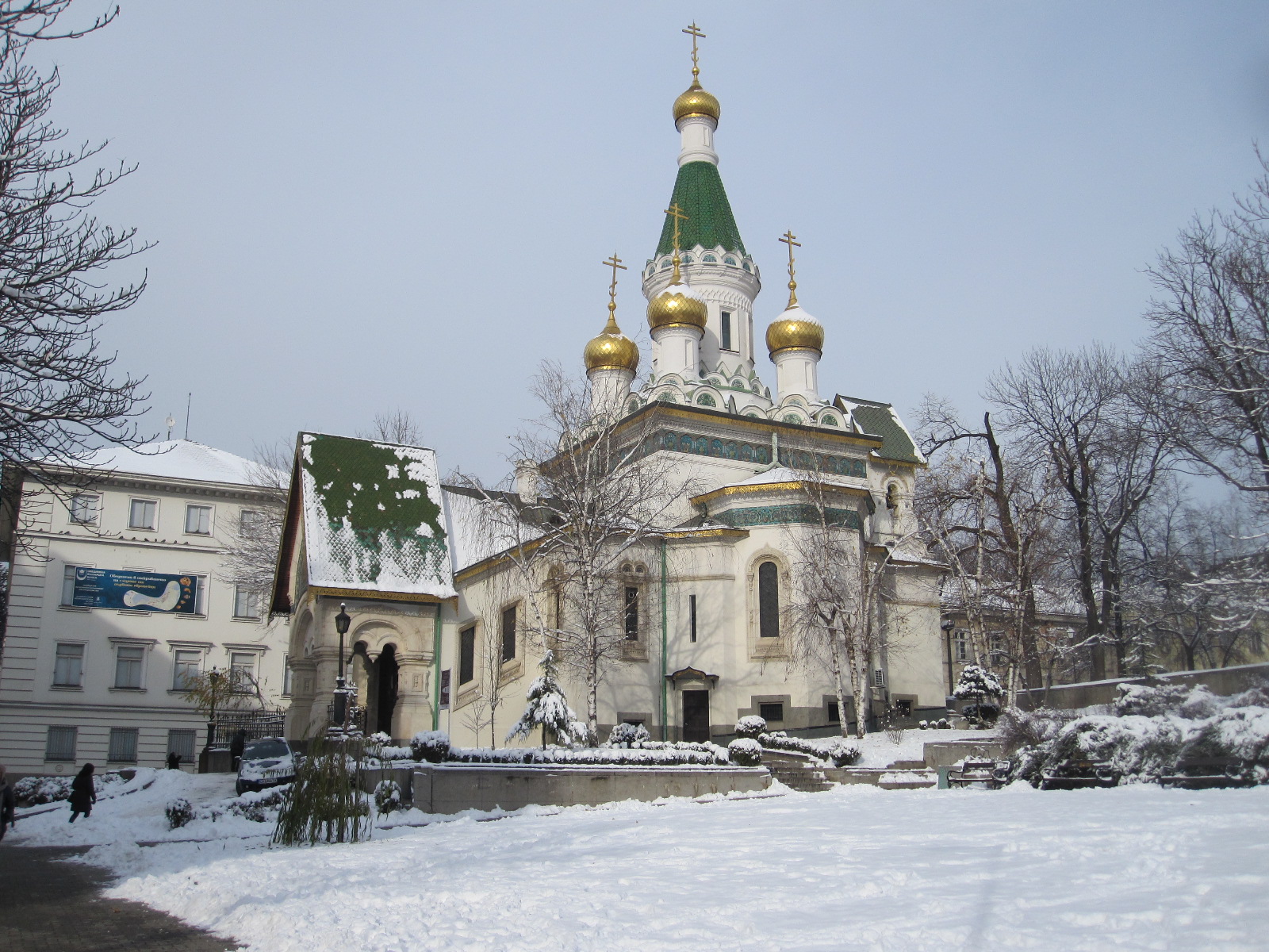
Sveti Nicholas Church
Moving on eastwards the route passes the much smaller Sveti Nicholas Russian Church, with its glittering gold decoration, followed by a string of fine buildings including the National Art Gallery, Archaeological Museum and Presidency. Some of the big names of international business were now in evidence, including, needless to say, McDonalds.
The route passes the Banya Bashi Mosque before finishing at the imposing Sveta Nedelya Cathedral. This is also a typical capital city retail environment out to relieve foreign visitors of their Dollars, Pounds or Euros, with little sign that it is in one of the poorest countries in Europe.
One place I wanted to visit was the Polytechnic Museum which meant a considerable walk through an unsalubrious area of side streets where not much effort had been put into clearing the snow and ice from the pavements. To my total amazement half way along one of these streets I slipped on the ice and fell quite heavily. This was a great surprise, because falling is something that I do not do nowadays, and in my experience when people of my age have a fall like that it is often the beginning of the end.
When I picked myself up it was exactly the same as the feeling I used to get thirty years ago after bad falls or collisions in motorcycle beach racing. I was pretty sure that I had not broken anything, but there was obviously severe bruising and every movement was quite painful.
Anyway, I limped along to the Polytechnic Museum, which at first sight appeared to be closed, with a heavy iron gate across the entrance. When I pushed on the gate it opened and a man in uniform emerged from a gatehouse in the forecourt. I asked him if the museum was open, which led to some confusion because Bulgarians nod their heads when they mean 'no' and shake them when they mean 'yes'.
It appeared that even though the reception area the other side of the forecourt was in total darkness and the doors were locked, the museum was actually open. The man unlocked the doors and went upstairs, reappearing shortly afterwards with a lady who put the lights on and opened up the cash desk. Another lady then appeared and the place was in full swing. The idea of these two ladies locked in a dark building until some visitors turned up was very odd, and might well be the inspiration for a horror film. It seems, however, that this is not unusual in Bulgaria, because on the section on Plovdiv in the LP guide it says “If a museum looks closed during what should be opening hours, bang loudly on the front door”. The Polythechnic Museum is only a small establishment like a very tiny version of the Science Museum in London, but obviously with an emphasis on Bulgarian contributions to technology and there were a few interesting things.
By now I was a considerable distance from the car, but with admirable fortitude I struggled back to it and entered into battle with the inexplicably complicated traffic systems of Sofia. Although walking was quite difficult I did not notice the effects of the fall at all when driving.
During the night a few inches more snow fell, and at breakfast time it was still happening, with the wind howling round the building. I had planned to drive to Plovdiv, Bulgaria's second city, about 90 miles away, but these were not conditions for going any distance, so I decided to make it a day for looking round the shopping malls not far away. At least it would be warm and would not put too much strain on my leg, which was still very painful.
The nearest mall was simply called The Mall, with about 160 shops and restaurants. All very smart and quite upmarket, although it was not in an area easily accessible to foreign visitors unless they had a car. The car park was a mess, with piles of snow around, which didn't matter too much because not many people had turned out anyway. The only thing I was looking for was a supply of English books, in case I was holed up in the hotel for days on end, but there were no bookshops at all. Plenty of jeans, but I had enough of those.
In the much smaller Sky City Mall, not far away, I found two bookshops with an excellent range of English books at the same prices as at home. Two people whose books seem to be published in the local language everywhere in the world were very much in evidence, namely Jamie Oliver and Bear Grylls. Jamie Oliver was also on television when I got back to the hotel. I had no idea that he could speak such good Bulgarian, or that he was a ventriloquist, because he was speaking some of the time without moving his lips. The hotel television offered a limited selection of programmes to suit visitors of different nationalities, the only English one being CNN, which had an American lady with a squeaky voice speculating for hours on end about the fate of a missing airliner in the Far East.
As mentioned above, the road system in Sofia is incredibly complex, perhaps more so than anywhere else I have been. Just finding the way in and out of the shopping malls alongside the main through route was daunting, with a multiplicity of slip roads and tunnels all very close together with few signs.
Bulgarian uses the Cyrillic character set, more or less the same as Russian. On my trip to Russia in 2010 I discovered that if you know the sounds associated with the characters it becomes quite easy to read a lot of words, and it is essential to do that if you are travelling around, especially away from main cities. Before going to Bulgaria I brushed up on my Cyrillic, but not nearly enough, and could only translate by picking off one letter at a time, which is not much good when you drive past a road sign at 60mph.
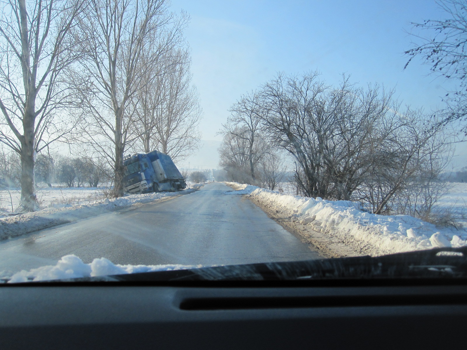
Yes, it is icy.
The opportunity to test this knowledge arose the next day, which was dry and bright, with a bracing -13 degrees when I went out to the car. This was the day for the drive to Plovdiv. The main roads appeared to have been cleared quite well, but most others were completely untreated and still covered with hard packed snow or ice. The main route between Sofia and Plovdiv is a motorway which would undoubtedly be clear, but originally I was intending to use the old road (no. 8) because it runs through villages and towns which would be more interesting. In trying to find the turn off for route 8 I got on to a network of untreated roads with nowhere to stop safely to check my location and very soon came across a big truck in the ditch, with its cab resting against a tree.
Eventually I found route 8, which turned out to be a solid sheet of hard-packed snow, shining in the sun It gave me an insight into the winter rural scene in Bulgaria as it passed through some quite pleasant villages, but it demanded a fair amount of concentration and after about ten miles I decided to go back on to the motorway. This road runs through a wide, flat, valley with snow-capped mountains some distance away on either side, and roughly midway between Sofia

Shiny route 8
and Plovdiv the snow at the roadside disappeared, as the elevation was much lower than in the Sofia area.
At one point I stopped at a near deserted road house for a cup of coffee, and this confirmed my experience of Bulgarian coffee. If you ask for a cup of coffee you will get about half the quantity that you get in an Espresso in France, ie. about a thimble full. Often the person serving asks whether you want a large one, which is equivalent
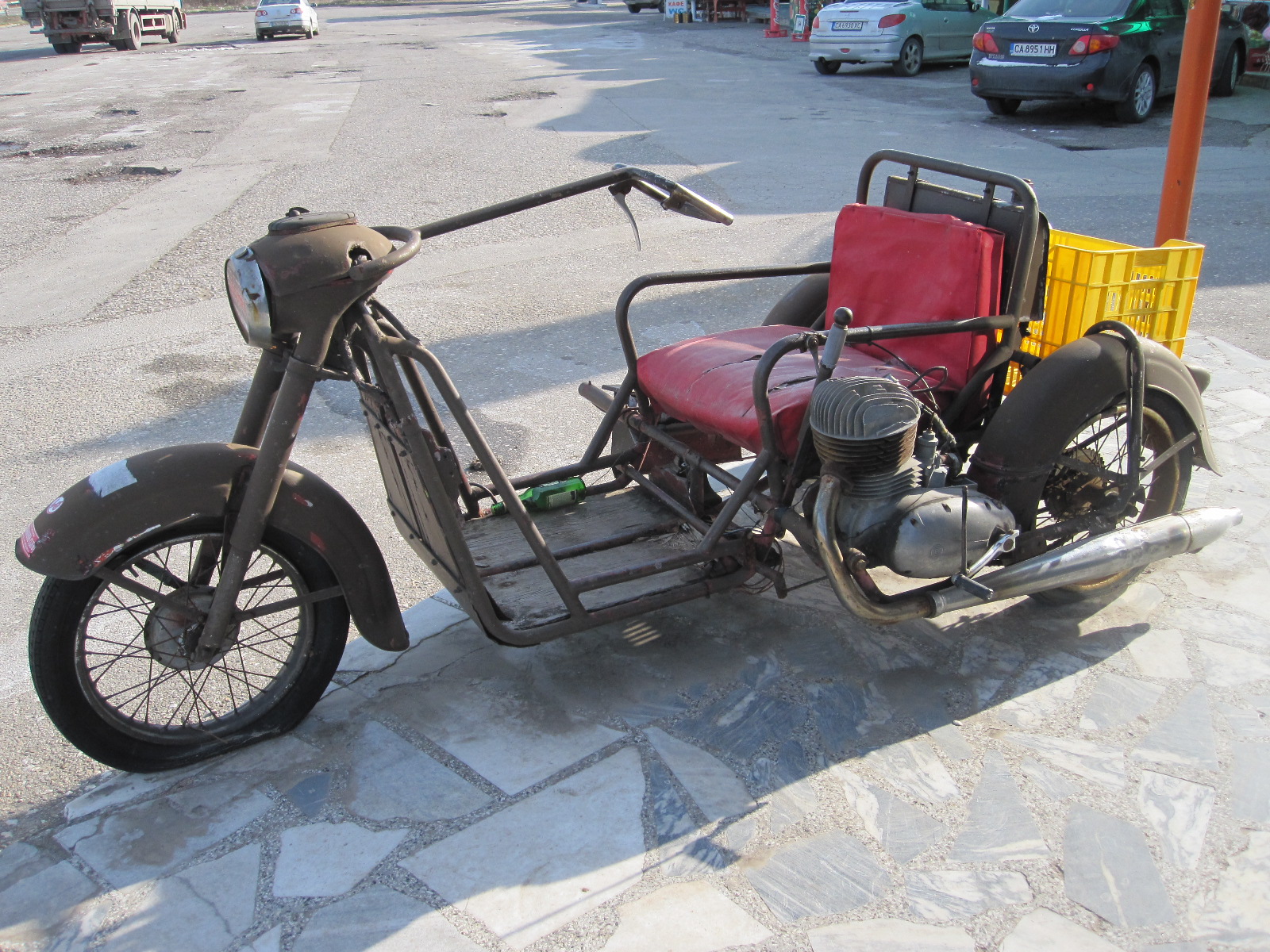
Peasant transport
to a normal Espresso. The purpose of this offering is not clear, because it is far too little to quench thirst, and it is difficult to see how it can take long enough to drink to have any social value.
Displayed in front of the building was an ancient vehicle of a type that I had seen in less developed countries many times before, but never close up. It was the standard transport used by peasants in days gone by, consisting of the front end of a motorcycle attached to a primitive armchair with a single cylinder engine alongside it and a box at the back for carrying goods. For most people who made a living working small plots of land this would be their only means of getting around and taking goods to market.
Plovdiv
Bulgaria’s second city is different from the capital in many ways. The immediate impression was that it is less advanced, i.e. it is closer to the Soviet era. Sofia has obviously benefitted from a great deal of foreign investment and influence, whereas Plovdiv still has the atmosphere of an old-style East European city. The road system consists mainly of cobbled or roughly-surfaced streets with a few wide main routes. Because of the uncertainty with the weather I had not booked a hotel, but had two three suitable ones in mind, and had marked them on my map. In trying to find the first one I got into a terrible mess at a road junction with traffic lights, finishing up at an angle in the middle with people hooting at me from all directions. It turned out that I had marked the hotel in the wrong place on the map, and when I eventually got there it had a different name from the one I was looking for!

Central Square
Still, the Park Hotel was extremely good value, and my room had a view over the city, with a go-kart track and
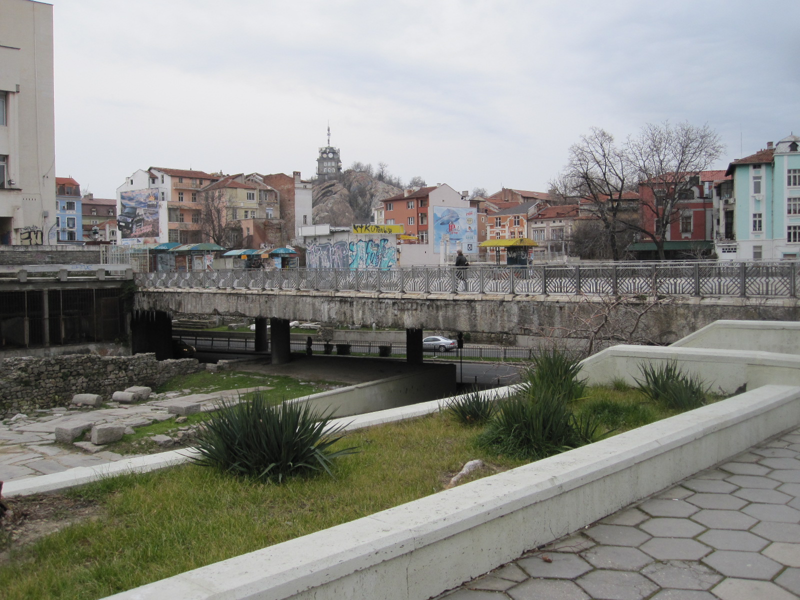
Central Square view
entertainment centre in the foreground. Unlike the IBIS in Sofia, there were several restaurants in the vicinity. After getting sorted I set off to walk into the city centre through about half a mile of streets lined with drab buildings before reaching Central Square, which was dominated by a massive Soviet-style government building incorporating the post office and telephone exchange. In front of it was a large excavation exposing the ruins of the Roman Forum, but the area still had all the characteristics of an east European city, with rubbish in and out of bins, shabby lock-up shops and kiosks, to say nothing of the graffiti. The backdrop, however, was quite pleasant with two areas of high ground nearby, one called Sahat Tepe (Clock Hill ) with a quaint stone tower topped by a radio mast.
Leading north from Central Square is the pedestrianized main shopping street, not exactly chic, as it was described in one guide, but quite smart and with some well-known names. The top end covers the ancient Roman stadium, just a small part of which is visible, and nearby is the Dzumaya Mosque, which is said to be one of the most magnificent Muslim religious buildings on the Balkan peninsular.
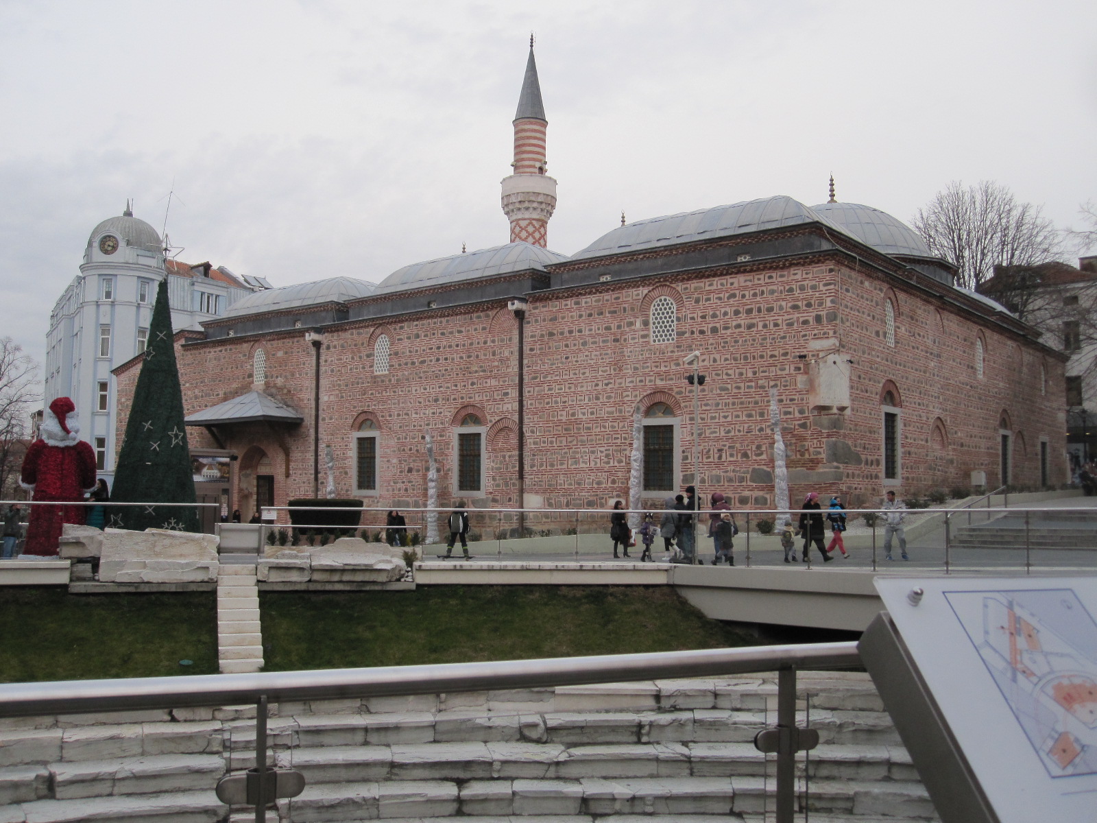
Dzumaya Mosque
I was intending to walk through to the Old Town, but the cough and cold that I had been suffering from for several days finally caught up with me and after a small meal I made my way back to the hotel. On the way I came across a wonderful eyesore, just the sort of thing that the tourist authorities in foreign cities complain about visitors taking photographs of, rather than nice things like flowers in a park. It consisted of a dilapidated and derelict lock-up shop in the middle of a mess of hoardings, rubbish and graffiti. Nearby was a car park with four non-running relics of the Cold War motoring era, namely a Trabant, Wartburg, Moskvitch and early Lada. Such vehicles are seldom seen on the road nowadays, and this was obviously someone’s personal collection.
Originally I was going to drive back to Sofia the next day, but the weather forecast seemed positive that there would be no snow in the next few days, so after breakfast I asked the people in the hotel reception if I could stay another night. Unfortunately the Park Hotel did not have any vacancies, but they arranged for me to stay at the Imperial, a much larger, recently-built hotel about ten minutes’ drive away.
I left the car there and set off to walk to the Old Town, but the temperature was still a few degrees below zero, and after about half an hour of
Eyesore
constant coughing I was just not well enough to continue. Most of the rest of the day was spent in my room with books and the TV, which luckily had a normal range of programmes rather than the special hotel fare in the IBIS. This was certainly not the way I had hoped to spend my limited time in Bulgaria.
The next morning I left early and drove through to the Old Town, with its cobbled streets and quaint buildings. It actually covers quite a small area, but I can understand why it is so highly rated as a tourist attraction. The main river in Plovdiv is the Maritsa, which varies greatly in width as it runs along the valley between the mountains, and is quite wide as it passes through the city centre area, providing excellent views from the some of the bridges.
About 25 miles west of Plovdiv on route 8 towards Sofia is the town of Pazardzik which I thought might be worth seeing as an example of a smaller town. Route 8 out of Plovdiv was flat, straight and boring. For some
Boring route 8
inexplicable reason about 5 miles from Pazardzik it was closed completely, with a long diversion over minor roads. As I approached Pazardzik a vast Soviet-style housing complex came into view, with the usual grim blocks
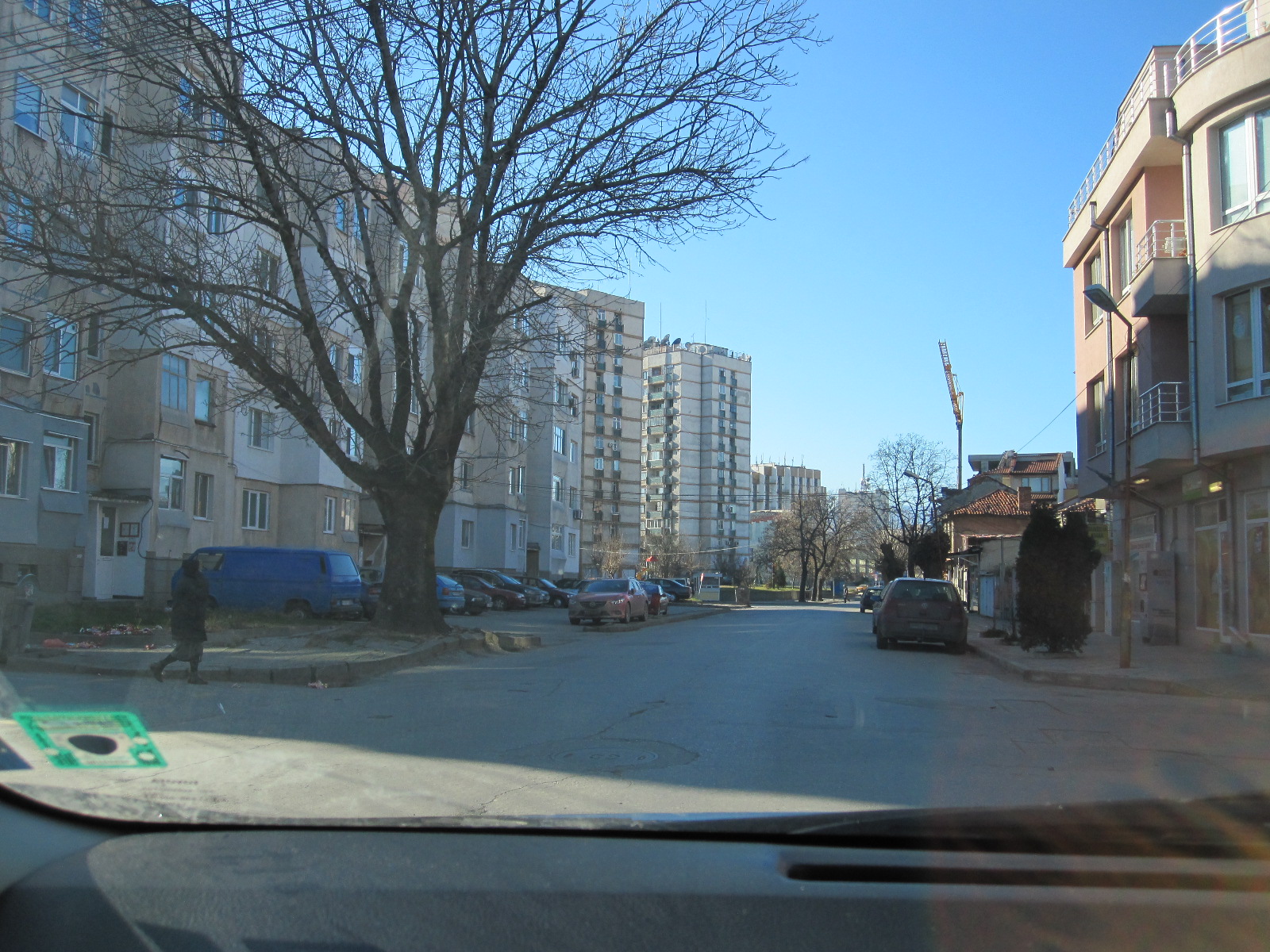
Pazardzik
of flats, more grim even than the rest of the town. However, the centre does have some reasonably pleasant pedestrianized streets and a few attractive buildings, as well as the river Maritsa. Apparently the local economy is fairly sound, with hydro-electric plants, copper-mining, a big pharmaceutical factory and textile manufacture.
As previously mentioned, Mount Vitosha, with its ski resort, rises up from the valley on the south side of Sofia, and before going into the city I decided to take a look at the mountain. Along the valley between the mountain and the city a modern high-speed by-pass road is lined with an astonishing amount of industrial and commercial development, including , IKEA, Decathlon and yet another shopping mall. Finding a way out of it to the mountain was not easy, but eventually I managed to get up to a place called Simeonovo, where the gondala to the ski slopes crossed the road.

Simeonovo Gondala
The whole character of the area here was completely different from the rat race of the by-pass a few minutes away, with the atmosphere of approaching a ski resort, although it was not possible to drive to the top station of the gondola. In any case, it was getting late and I still had to fight my way across Sofia to the airport hotel.
With all the ice and snow still around the car looked as if it had been on a 2000 mile rally, and it was a great puzzle when I took it in to the rental company the next morning to understand how it had somehow cleaned itself. Presumably it must have rained in the night, but the man from Auto-Jet Car Rental was delighted.
Due to the weather and my state of health I had seen and done far less in Bulgaria than I had hoped, although I was aware that it was a risk going in the middle of the winter, and I could have been stuck in the hotel all the time. The country obviously has a lot going for it, with friendly people, good scenery and reasonable prices. From what I had seen the gap between Sofia and the rest of the country economically is quite wide, and I still could not understand how there could be so many upmarket shopping malls in the capital.
The Great Lakes – USA and Canada 2014
CLICK ON PICTURES TO ENLARGE
The Great Lakes – USA and Canada 2014
 There are five great lakes, Ontario, Erie, Huron, Michigan, and Superior. Lake Michigan is entirely within the USA, the others have shorelines shared with Canada. The only one I had seen close up was Lake Ontario, during a brief visit to Toronto years ago, but I had flown over the area a number of times on the way to other parts of the USA. The striking thing was always the length of time it took for a plane travelling at nearly 600mph to cross any of the lakes, and the enormous extent of the shorelines, which looked more like those of oceans than lakes.
The plan was to fly to Chicago, rent a car and drive northwards more or less alongside Lake Michigan up to Lake Superior and then eastwards into Canada, skirting the north side of Lake Huron. The preferred route would then be to take a ferry from Manitoulin Island across Lake Huron to Tobermory and drive down to Detroit, which I particularly wanted to see as it is about as close to a post-apocalyptic city as it is possible to get. From there I would drive past Lake Erie and across to Chicago. Needless to say there was an ulterior motive in this, as the area has traditionally been the home of the US motor industry and there were several car museums along the way that I wanted to visit
Durango
On arrival at Chicago I was given the usual hard sell at the car rental desk and finished up with a far larger car than I had ordered, although for only a small extra charge by European standards. It was an almost new Dodge Durango 4x4 loaded with all the latest electronics including a keyless locking system which threw me into confusion when I tried to lock the car at the motel. After spending a while with the handbook I managed to master that particular aspect of the vehicle operation, but with 74 pages of the book devoted to electronics I eventually concluded that the only people who would be able to exploit the features to their fullest extent would not be old enough to drive the car.
Chicago
This was my first visit to Chicago, and I decided to dedicate a day to looking round the city. Before leaving home I booked a 3-hour Segway tour for the afternoon, something I had wanted to do for a long time. For readers who are still stuck in the 20th century I should explain that a Segway is a very high tech means of transportation consisting of an electrically powered platform on which the rider stands between two side wheels, the seemingly impossible balancing act being achieved by gyroscopes and computers.
The motel was near the airport, about 16 miles from the city centre. Parking in the centre costs an arm and a leg, and as I would need both for the Segway I decided after some research to leave the car at a park & ride place at Rosemont, two miles from the motel, and go in on the ‘L’ or ‘El’ rapid transit system. The name is derived from the original elevated rectangular section of the network in the city centre, built in the late 1800s and called the Loop, a designation that is now applied to the general central area. The Blue Line is the main public transport from the airport to the city, and I was quite surprised to find that it was almost empty on the Saturday morning. There were never more than about six people in the carriage, and most of the time only three, one of whom spent the whole journey slumped across his seat in a drink- or drugs-induced stupor.
In 2013 Chicago had more murders than any other American city, thereby earning the title of Murder Capital of the USA, although in terms of murder rate (number of murders per 100,000 inhabitants) it comes some way down the list. The winner on that score is Detroit, which I was to have the pleasure of visiting later in the trip. As I sat in the train and looked at some of the other passengers I did not feel entirely comfortable, but the vast majority of murders are drugs and or gang related, and the risk to tourists is not great. The train travelled above ground for much of the time, and the suburbs were actually less densely built up than the older parts of London, with three- or four-storey wooden buildings amongst trees in many places.
The El
On reaching the Loop I got off at a station called Clark and emerged into a typical American big city street, excepting that the ‘L’ ran high up along the middle of it on a massive and hideously ugly steel framework which was obviously much easier and cheaper to build than going underground. As the system was extended much of it was put underground anyway.
It was mid-morning on a Saturday, a time when a European city would have been a hive of activity, but as I walked beneath the towering skyscrapers (and trains) there were few people or vehicles around. I worked my way eastwards to Millennium Park and the enormous open lakeside area which fortunately has been protected from development by legal covenants put in place early in the 20th century. The area is divided up into gardens, fountains, concert pavilions and numerous examples of public art, the only significant permanent building on it being the Art Institute of Chicago.
Alongside the park area is South Michigan Avenue, lined on the western side with imposing high buildings which make an impressive sight when viewed from the park. At one point it is possible to look along East Adams Street to the Willis Tower (formerly the Sears Tower), the tallest building in the city, and once the tallest in the USA. A sign in this street indicates that it is the start of the famous Route 66 which runs 2200 miles to Los Angeles, or at any rate, it once did, and quite a bit of it still exists.
Route 66 & Sears Tower
Lake Michigan is 22,300 square miles in area (England is 50,300) so the lake shore is like a coast line and to some extent it generates its own micro-climate, with substantial waves under the right conditions, although during my visit it was dead calm. Chicago is known as the Windy City but there was no sign of it while I was there.
The Segway Tour
About 20 people turned up at 2.00pm at the meeting place just off South Michigan Avenue, and we were divided into three groups. Apart from me all the participants were American, and seemed to be quite normal, sensible people, with equal numbers of men and women aged between about 20 and 50 (again apart from me). We were given bicycle helmets, shown a safety video and then pushed our Segways across the road to the park for a short practice session before being let loose amongst the unsuspecting public. Our lady guide had restricted the machines to 6mph which seemed quite enough as we wound our way precariously through the pedestrians and vehicles at a busy road crossing and although by now the public must have been suspecting I thought they were amazingly tolerant of our near misses. On the face of it riding a Segway is a quite unnatural activity, and I was surprised how quickly everyone seemed to get the hang of it.
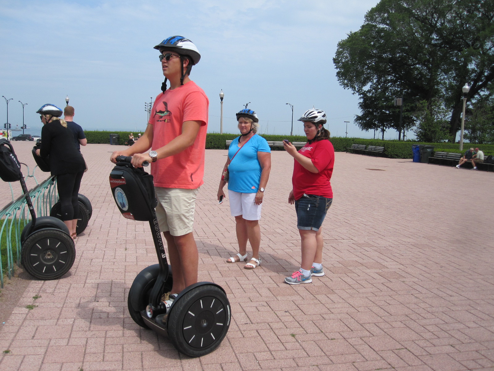
Tyler on Segway
Obviously you expect to fall over forwards or backwards when you get on it and there is a slight knack to getting started, but as long as you keep your weight over the centre of the platform it is not difficult. To go forwards you lean forwards slightly and to slow down, stop or reverse you lean backwards slightly. Turning is achieved by moving the ‘handlebars’ sideways in the direction you want go, but they cannot be turned.
We seemed to going quite well when there was a loud crash and a lady member of the group was sprawled face down on the ground after hitting some ridges in the paving, but she was fairly unfazed and that was the only incident. The youngest member of the group, a lad named Tyler, was by this time performing as if he had been born on a Segway. There is always somebody like that.
Once we got further into the park, away from the people, our guide raised the speed of the machines to a heady 10mph, which actually made them easier to control. In the next couple of hours we covered quite a lot of ground in the lakefront area, including the Soldier Field (war memorial and stadium), Planetarium, Millennium Fountain and various other sights, with explanations by our guide. She also pointed out the most expensive hotel suite in Chicago, overlooking the lake, at $10,000 per night, which made me feel that my room in the Travelodge Elk Grove Village was quite good value at $65.
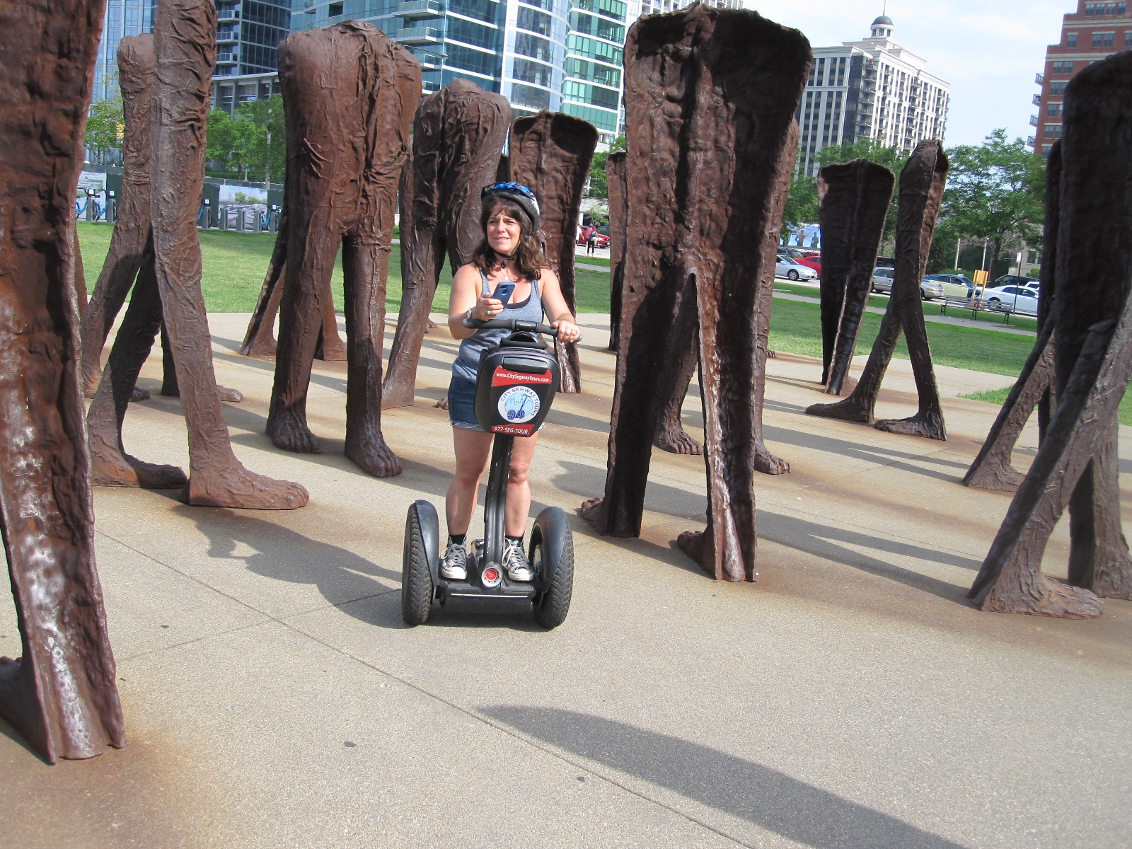
Agora
The tour ended at an example of public art that might have been designed for examination by people on Segways. Called ‘Agora’ and created by a Polish sculptor, it consists of 106 pairs of 9ft tall cast iron headless torsos, standing rusting in a group alongside Michigan Avenue. Manoeuvring through the narrow spaces between the huge feet and legs of these weird structures provided an ideal opportunity for us to test our newly acquired skills. The designers of the Segway hoped that it would become a widely used means of transport, and although that aim was not achieved I felt that it was remarkable how easy we all found it to use after such a short time.
Another walk through the city streets and I was back on the Blue Line train to Rosemont, still as sparsely occupied and with the same congenial atmosphere as on the inward journey.
Moving on
 The next morning I set off northwards roughly parallel to the shore of Lake Michigan, but diverting inland to the town of Volo to visit Volo Cars. This is a massive classic car dealership which also operates as a museum, with five large halls set in parkland, many vehicles also being displayed in the open if the weather is good. Most exhibits are for sale, but some are permanently on show as one-off former show business props or connected with famous people like James Dean and Marylyn Monroe. The cars were almost all in beautiful condition and the business is clearly very well run by dedicated people.
Next was a cross-country drive to Milwaukee, back on the lake. The countryside in this part of the world is actually quite like parts of Sussex in England, with gentle rolling hills, well-wooded, and large areas of arable farming. Although I am far from an expert in such matters, I got the impression that the farms here were considerably more prosperous than those I had seen in the southern USA a couple of years earlier.
Heavy Metal Doors
In a report in 2014 Milwaukee was deemed to be the second most miserable city in the States. Within a few minutes of my arrival I was certainly miserable, because vast areas of the road system were dug up due to a massive public works project of some sort, with poorly signposted diversions. It is likely that a high proportion of visitors to the city would, like me, be aiming for the Harley Davidson factory and museum, and
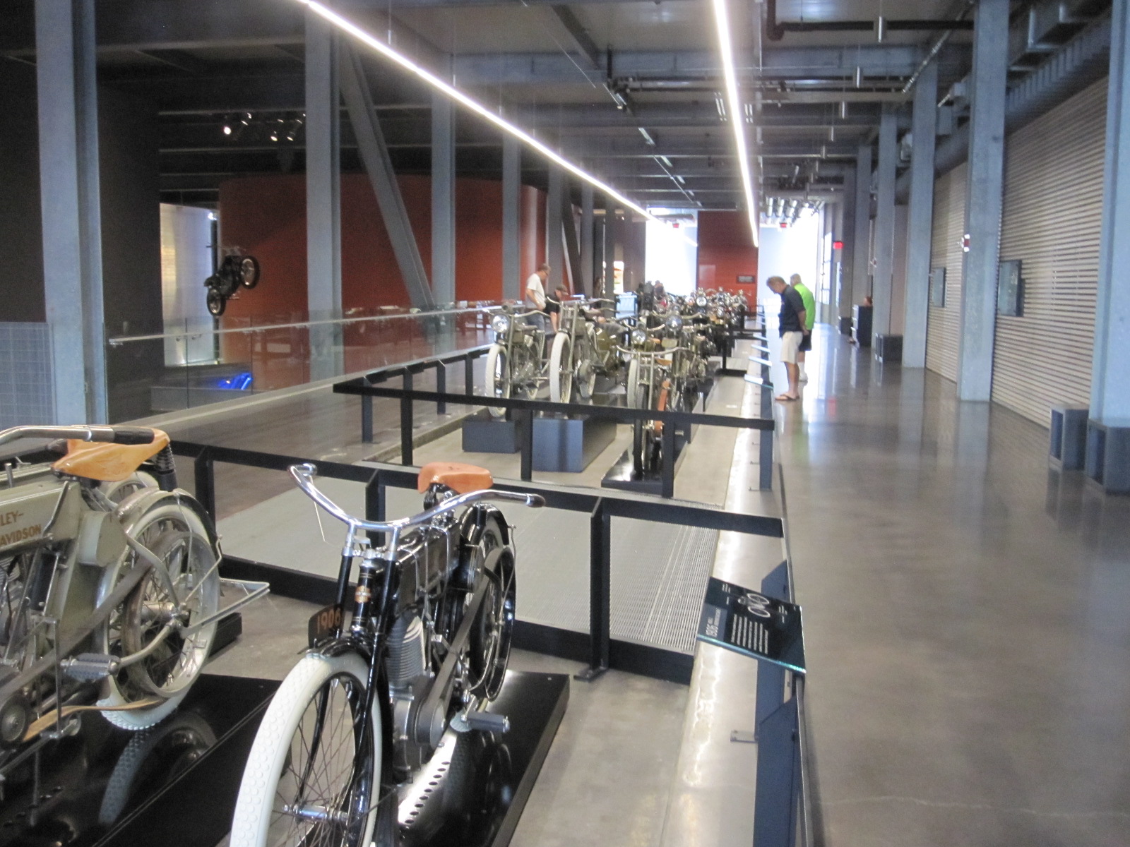
Heavy Metal Museum
that proved to be surprisingly hard to find, even with the satnav and GPS phone. Entry to the museum was via enormously high, heavy doors, which set the theme for the rest of the establishment, namely, heavy metal. The interior was lavishly fitted out with stainless steel everywhere creating the impression of solidity and robustness that characterizes the company’s products. Dozens of bikes were on display, and spread over the walls were engines and fuel tanks covering every model ever produced. One particularly striking exhibit was the bike that was washed up on the shores of Canada after spending 18 months crossing the Pacific Ocean following the Japanese tsunami in 2009.
It was time to take Interstate 43 north to my night stop at the Lakeview Motel in Two Rivers, near Manitowoc, a lakeside town that I had never heard of. Between Manitowoc and Two Rivers was a large derelict covered shopping mall, including J.C.Penney, that finally closed in 2011 after over 40 years. According to the people in the motel it was a victim of the recession, along with other businesses in the area. The Lakeview was a somewhat run down traditional motel with rooms overlooking the lake, or at least they would have been had there not been a thick mist when I arrived. A depressing end to the day.
To Lake Superior
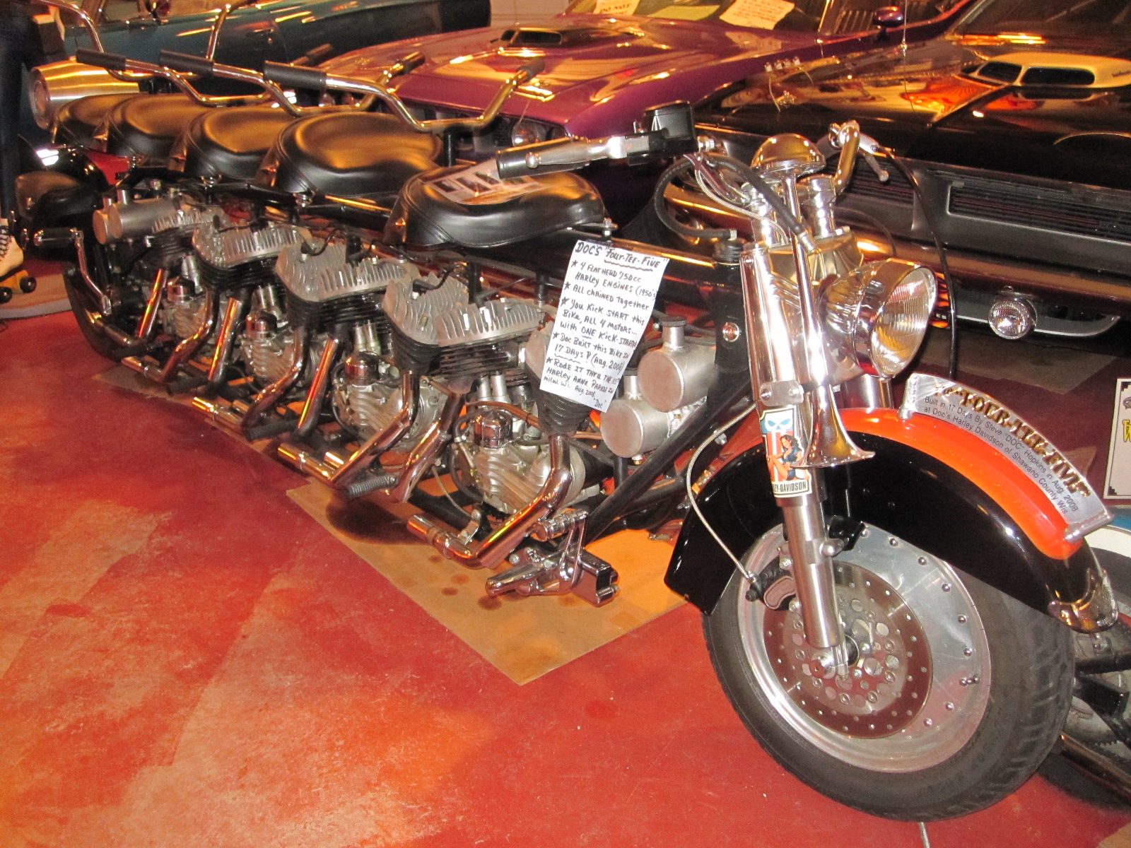 The next stage would take me to the northernmost point of the tour, on the shores of Lake Superior, a distance of about 200 miles. As I set off from Two Rivers it was raining hard and still depressing, although now possible to see Lake Michigan. A good breakfast at a remotely situated roadside place remarkably like an English pub (it didn’t claim to be) cheered me up a bit, and I pressed on through Green Bay to Doc’s Classic Car and Cycle Museum in a place called Bonduel. This was a very good small museum attached to a Harley Davidson dealership with a stock of “about 100 machines” according to the man in charge, which was surprising considering that it was in the middle of nowhere. I suppose people will travel a long way to buy a Harley.
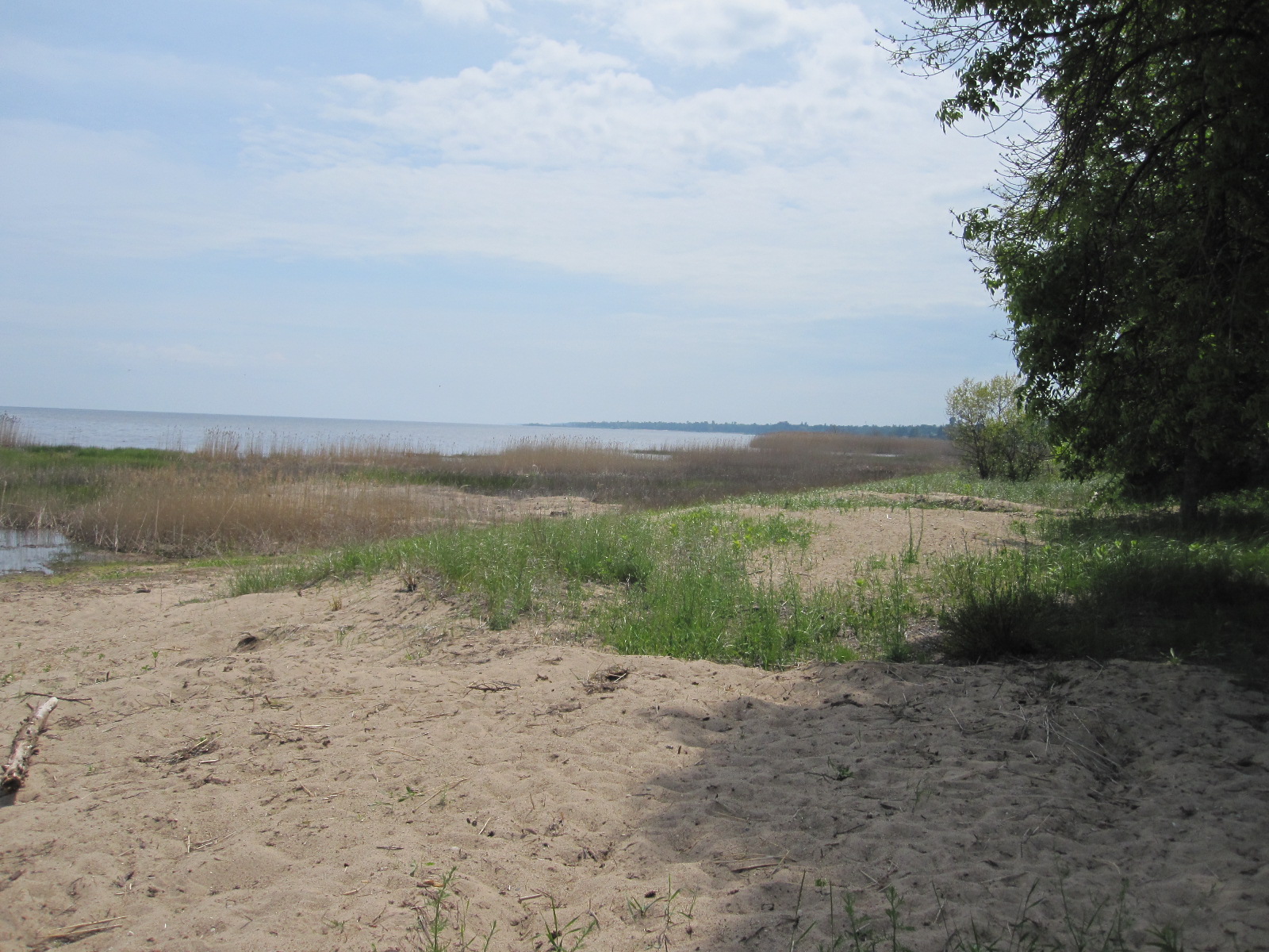
Lake Michigan
The satnav managed to take me on a cross-country route to Marinette, on the shore of Green Bay, which is anoffshoot of Lake Michigan, and I then followed Highway 35 alongside the water up to Escanaba and Rapid River. This should have been a fast drive but wasn’t, due to multiple roadworks and somewhere along the line I lost an hour due to the change from Central Time to Eastern Time. My map actually described this area as The Upper Penisular of Michigan, because it has a long border with Wisconsin, but is joined to the main part of Michigan only by a bridge.

Lake Superior
From Rapid River the road ran through the Hiawatha National Forest to Munising, on the southern shore of Lake Superior, where I quickly booked in at a motel and went for a wander round the town. Small American towns are often worth a look and Munising was no exception, although there was nothing particularly attractive about it apart from a waterside area with a good view over Lake Superior. At 49,300 square miles this lake is the largest fresh water lake in the world by area (about the size of England) and the third largest by volume.

Munising
The motel owner had given me a map marked with restaurants, and one caught my eye, namely the Bookshop Café, in the form of a large, deep shop with walls lined with secondhand books. On one side was the food service area and the center (when in Rome) was occupied by a variety of country style wooden chairs and tables, including a rocking chair. At one end of the room were two people playing the violin and as I sat on the rocking chair waiting for my meal I thought what a pity it is that the Americans export their McDonalds and Starbucks all over the world, but nobody knows about the really good places like the Bookshop Café. A few people were looking at the books, and there were little tables with notices stating “After browsing please leave the books here and the staff will replace them on the shelves”. While I was there two or three teenagers came in on their own and looked at a few books before disappearing again, and surely anybody who can get teenagers into a bookshop deserves a medal. Before leaving I had a look round and bought a book published in 1948 called “Sportsmanlike Driving” with illustrations of driving techniques, many of which would be frowned upon today.
To Canada
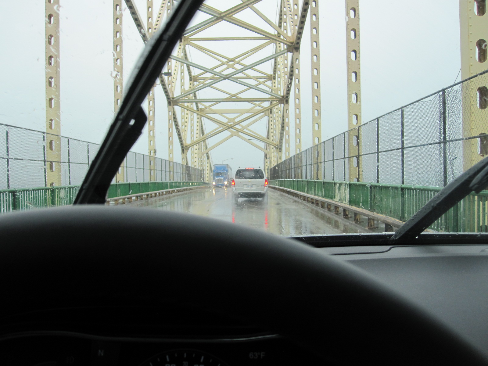
Wet bridge to Canada
Breakfast at Hardees, then a quick look at Munising Falls and the lake view at Sandy Point before the rain started. And when it came, it came. My point of entry to Canada was to be a town about 130 miles away called Sault St.Marie, partly in Michigan but mainly in Ontario, and as I battled my way towards the frontier through the rain and roadworks in the seemingly endless forest I began to wonder whether my plan to one day drive thousands of miles through Russia to Japan was such a good idea after all. Eventually I came to the short stretch of Interstate 75 leading to the bridge over St.Mary’s River and the Canadian customs post where the lady officer said she supposed I would like a stamp in my passport. It seems that it is optional nowadays, but I said I would and she sent me into a nearby building where a number of people in uniform were sitting doing nothing while I waited about 15 minutes for my stamp.
According to my guide book life in Sault St.Marie (apparently usually just referred to as “Soo”) is great, although it didn’t seem to me to have much going for it, but most places don’t when they are dripping with water. The road leading eastwards from here runs alongside the St.Joseph Channel and North Channel which are connected to Lake Huron. It rejoices in the ambitious name of The Trans-Canada Highway, something I would never have guessed had I not read it somewhere as it is mainly an ordinary single carriageway road with slow going and yet more roadworks.
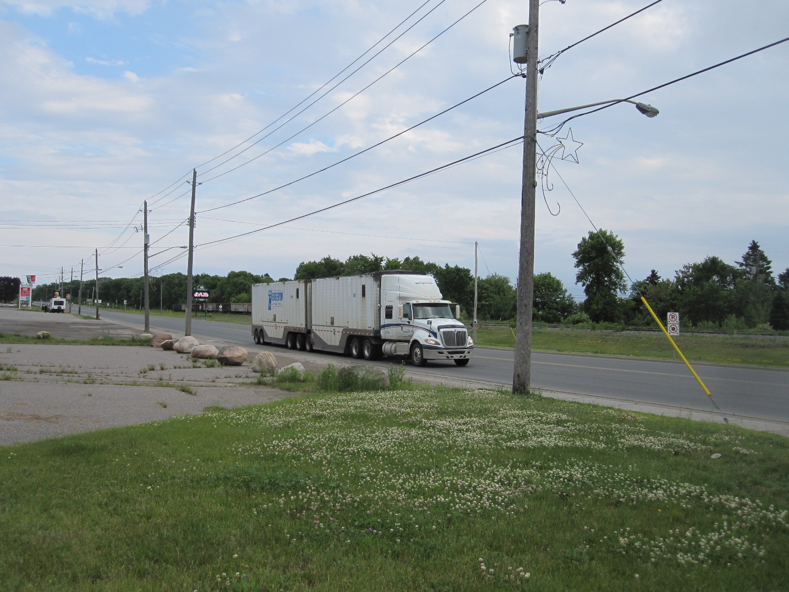
Trans-Canada Highway
At Blind River I found the Old Mill Motel on the main road, with grounds leading down to the lakeside. It was only as I sat in the restaurant opposite that I realised that as well as the very busy road there was also a railway line running right across the entrance to the motel, literally 50 yards from my room. The trains were enormous, mostly with two diesel locomotives and a vast number of freight wagons, travelling at about 20mph like American trains. Apart from one train that came right through my room at 3am it was surprisingly quiet in the night.
It is possible to take a long overland route from Blind River to Detroit via Toronto, but my preferred course of action was to drive eastwards on the Trans-Canada Highway for some distance, and then turn south on to Manitoulin Island. From South Baymouth on the southern tip of the island a car ferry runs to Tobermory on the Bruce Peninsular between Lake Huron and Georgian Bay. The route would then follow the eastern shoreline of Lake Huron for about 200 miles, most of the way to Detroit.

Lake Huron from ferry
Everything I had read about the ferry said that it needed to be booked in advance, but I decided to get up early and risk going without a reservation. At 6.30am I emerged from my room to find that a big truck with some sort of track maintenance equipment was standing on the railway line across the motel entrance. Extra axles with train wheels were lowered on to the track at the front and rear of the truck as I watched, and the whole thing was raised up, lifting the road wheels off the ground. It then trundled off along the railway line.
To the turn off for Manitoulin Island was about 90 miles along the Trans-Canada Highway, still with lots of roadworks and trucks. The latter are like American ones but even bigger, with more axles, and many have equally large trailers attached. Eventually I reached Route 6 and the bridge over to the island.
If anyone ever asks you if you know anything they don’t know, you can tell them that Manitoulin Island is the largest fresh water island in the world. I am not sure how it would be measured because it consists to a great extent of lakes and inlets, but is scenically beautiful, with winding, hilly roads, certainly the best that I had seen so far on this trip.
Lake Huron
There was no problem in getting a ticket for the ferry at South Baymouth and as there were fewer sailings than I thought I finished up with a four hour wait. South Baymouth is part of a township with a total population of 406, and after looking round the museum, old schoolhouse and coffee shop I still had three hours to spare.
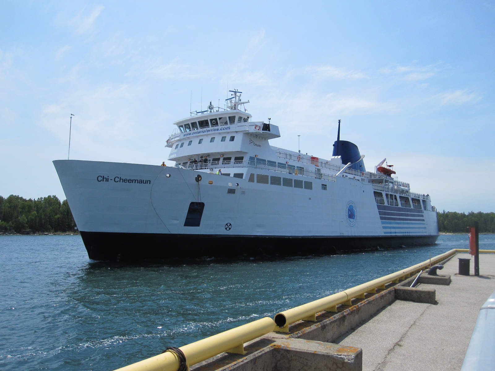
Chi-Cheemaun
The long wait was accounted for by the fact that there is only one vessel serving the route, a handsome white ship with the strange name of Chi-Cheemaun, which means ‘big canoe’ in a local indigenous language. It is about the same size as an Isle of Wight car ferry, but the thing I noticed about it immediately was the lack of rust, as it operates only in fresh water. The 25-mile crossing took two hours, and there was a decent restaurant on board serving proper English-style fish and chips, which are widely available in Canada but not in the USA.
Lake Huron has an area of 23,000 square miles, and is the second largest of the five Great Lakes.
The road leading south from Tobermory on the Bruce Peninsular was as boring as my guide book said it would be, and I decided to stay for the night in Southampton, the first town I came to. It was very different from its English namesake, being somewhat smaller with a population of just over 3000 as opposed to 253,000. At first sight the most notable feature of the town is an extremely large Canadian flag on a high pole near the beach at the end of the main street. Close by is the mouth of the Saugeen River.

Southampton beach
In a recent survey to find the country where British ex-pats were happiest Canada came out on top and as I went around I asked myself whether I would like to live there. If you are planning to emigrate to a country you obviously have to consider factors such as taxation, healthcare, job prospects, property prices, schooling etc. that are irrelevant to tourists. It is easy to imagine living in places with dramatic scenery like the Rockies or Yukon Territory, but you would be far more likely to end up somewhere such as Southampton, Ontario. It is a very pleasant town, with a main street lined with shops and restaurants, and as I walked around a few people spoke to me, but I just could not envisage living there. A few miles south is a larger place called Port Elgin with shopping malls and industry, but apart from the area near the lake there seemed to be little of interest.
After I left my motel the next morning I was driving for many miles on a flat road with a view of wind turbines and power cables. Looking at the map there appeared to be a vast network of straight roads with this sort of landscape stretching all the way to Toronto.
About 60 miles south of Southampton I came to a sign stating GODERICH – THE PRETTIEST TOWN IN CANADA, which intrigued me sufficiently to cause me to take a look. The story goes that a relative of Queen Victoria once stayed there, and upon hearing about the town the monarch said “It sounds like the prettiest town in Canada”. More recently this description was quoted by the present Queen and taken up with some enthusiasm by the authorities in Goderich.
Goderich
In the centre of the town is a large octagonal roundabout called, rather oddly, “The Square”, with a modern white courthouse in the middle of it. For many years the Square and streets radiating from it were lined with large trees, but these were decimated by a typhoon in 2011 which caused a great of damage to the area. I would stop short of saying that it is pretty, but, like Southampton, it came across as a pleasant place where people spoke to me as I walked about.
The road followed the lakeside from Goderich all the way to the US border at Port Huron in Michigan. As at Sault St. Marie, the customs post was at the far end of a bridge, in this case with long lines of queueing traffic. About 12 booths were open, but some cars were searched and it still took about 30 minutes to get through.
Sarnia and Port Huron are at the southernmost point of Lake Huron, and from here the St.Clair River runs due south to Lake St. Clair, which is only about 25 miles across, far too small to be included as a Great Lake. As previously mentioned, Detroit does not have a lot going for it nowadays and I decided to stay the night in a small town called Roseville near the lake, where I found a Red Roof Inn surrounded by shops and restaurants.
Before going into Detroit the next day I went to look at the lake and then drove across the city on the elevated Interstate 94, from which it was possible to glimpse some of the derelict buildings for which the city is now famous. I had set the day aside for the Henry Ford Museum at Dearborn, reputed to be one of the biggest and best car museums in the world. The museum and factory complex is generally referred to as “The Henry Ford”, and covers a vast area. Set up by the Ford Foundation, the museum is by no means dedicated just to Ford products, but covers all forms of transport and other aspects of 20th and 21st century life around the world. The only thing that detracted from my enjoyment was the beetroot and peanut butter sandwich that I just about managed to consume in the café.
As I was about to leave I saw a notice advertising tours of the production line at the nearby Ford Rouge factory, where the F150 truck (pick-up) is made. The F150 is one of Ford’s best-selling and most profitable products, and the factory is a modern state of the art unit built as part of the company’s recovery programme following the near collapse of the American motor industry a few years ago. The driving force behind it was Bill Ford, the current boss, and it is on the site of Henry Ford’s original factory. The tour started with a bus ride of several miles, during which Bill Ford appeared on a screen, giving a brief talk about the company and the factory. On arrival we were ushered into a movie theatre and shown a film about the history of the firm, followed by a weird and noisy symbolic representation of the production of a truck, which I thought was a waste of time. We were then taken to the start of a gangway that ran above the production line for most of its length, and told we could just wander along, taking as long as we liked. Along the way were people and screens providing information about what was going on below.
Ford could certainly not be accused of lack of diversity in its work force, with people old and young, male and female, black and white on the line. Maybe it was because it was Friday afternoon, but I did not get the impression that the workers were under very much pressure. The F150 is a complicated vehicle, with a vast number of options in its specification, and it seems miraculous how all the parts arrive in the right places at the right time.
The tour finished high on an open terrace from which the whole of the Ford empire could be viewed. At one time virtually every part of the car was produced by the firm on the site, which stretches as far as the eye can see, but nowadays manufacture of many items is carried out by other companies on a sub-contract basis within the original works complex.
Detroit

Roosevelt Hotel ruin
My motel was in a reasonably pleasant area midway between The Henry Ford and central Detroit, and after getting sorted I went along Michigan Avenue to get something to eat. Rather to my surprise I realised that it was a Muslim district, with many of the shop signs in Arabic. In a nearby snack bar I got into conversation with some well-travelled Americans, one of whom worked for the city council, and he warned me to be careful in the city centre, especially at night. From what I had read about it, I had no intention of going there at night.
Not long after leaving the motel the next morning I started to come to derelict buildings, including the enormous and once prestigious Roosevelt Hotel. It was Saturday, and as I had found in Chicago, the streets were almost deserted, with little traffic or pedestrians apart from a few down and outs. Near the centre it turned into a reasonably smart business district, with wide streets and skyscrapers but still little activity, although two cars had somehow managed to collide, which seemed on a par with a mid-air collision between two aircraft.
I turned northwards and within a very short distance found myself once again amongst derelict buildings with open spaces where demolition had already been carried out. To see it for yourself find the junction of Park Avenue and Sproat Street on the Google map of Detroit, and then select Street View. This will enable you to drive around the area with no fear of being mugged or anything, although as there was practically no one in sight I got out of the car and wandered about taking photographs.
It seems that as the motor and music industries declined the inner suburbs of the city completely died, leaving around 40,000 derelict buildings, a situation that is incomprehensible to most Europeans. It is possible to go on privately organised tours of some of the more important buildings, often involving illegal entry and some degree of danger.
After this rather depressing scenario I did not need much encouragement to push on southwards towards Lake Erie and Ohio.
Lake Erie
Lake Erie
The fourth largest of the Great Lakes, Lake Erie has a surface area of almost 10,000 square miles. On its shores are large residential and industrial areas including Toledo, Cleveland (Ohio), Erie and Buffalo, giving rise to significant environmental concerns, especially over-fishing and pollution. At the eastern end it is connected to Lake Ontario via Niagara Falls.
Interstate 75 between Detroit and Toledo runs close to the western end of the lake, and the main town on the route is Monroe, where I turned off and drove through a smart residential area to the shore. The view across the water was serene and beautiful, with no hint of the problems mentioned above.
Back on the Interstate the road entered Ohio and traversed Toledo at rooftop level on the way to my next port of call, a car museum near a little town called Bowling Green with a really attractive main street. Snook’s Dream Cars turned out to be a well preserved former service station out in the countryside, the forecourt being graced with a superb 1950s Chevrolet convertible. A notice on the entrance stated ‘Open Monday to Friday and Weekends if you are Lucky’ It was Saturday, so I opened the door and shouted “Am I lucky?” A voice from somewhere said “Come through”, so I went through and discovered Mr.Snook, son of the late founder of the business, cleaning a car. We had a long talk and I then wandered round looking at his father’s excellent collection of cars and automobilia, including those in two big buildings at the back that are not normally open to the public. For a change I was lucky.
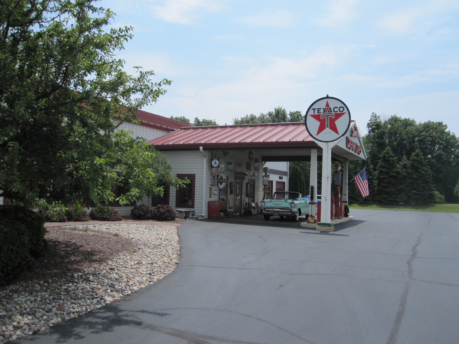
Snook's Dream Cars
A cross-country drive on ordinary roads then took me to the town of Auburn in Indiana. Classic car enthusiasts will recognise Auburn as the name of a famous car of the 1920s and 30s, and town is actually a petrolhead’s paradise, with three museums. After booking in at the Super 8 motel I made my way to the Auburn Cord Duesenberg Museum, which is in the former factory where the cars were actually made. These were big high performance luxury cars, and the museum is of a size and standard commensurate with the quality of the products.
This left two other museums in Auburn for me to visit the next day, as well as the Studebaker Museum at South Bend, but my plans were disrupted when I got in the car the next morning and found a picture on the instrument display showing a tyre plan with one tyre at half pressure. The National Automotive and Truck Museum was not far away, and I thought there would be someone there who might give some advice about where I could get the tyre sorted out, especially as it was Sunday.
Auburn-C-D Museum
They were very friendly people and inflated the tyre to its proper pressure, but discovered a screw embedded in it close to the side wall. They let me call Alamo Car Rental on their phone, and Alamo said I should take the car to Firestone at Fort Wayne, about 20 miles away. When I got there Firestone said the tyre was not safe to drive on, and as they didn’t have a replacement they put the restricted-use spare on, which was only good for 50 miles at 50mph. They arranged for me to go to Michel Tires Plus at Columbia City, 15 miles away. Michel’s had a tyre, but Alamo refused to pay for it, because Michel’s were not their accredited agent! By now this had been going on for six hours, and I had to get the matter resolved, because I needed to be at Chicago airport by midday Monday, and that was 150 miles away. In the end I paid for a new tyre, about $200, and hoped I could eventually get the money back from Alamo. At least I was on the road again, and pushed on to Michigan City, which is actually in Indiana, and is a great deal less imposing than the name suggests.
When I took the car into Alamo the next morning I was expecting an argument about the tyre, and was astonished when, after a short wait, the manager presented me with the full cost of it in cash. I had always thought car rental companies didn’t know what cash was! Alamo sometimes come in for criticism, but in this instance they were quite fair.
The trip was rounded off with a spectacular thunderstorm at Chicago that later made the BBC News in England, and the plane was inching forward on the ground for 4 hours 30 minutes before finally taking off.
The scenery on this trip was not as spectacular as the title might suggest, mainly because the route I took around the lakes did not rise to any great elevation, but it gave me an insight into a part of the States I had not seen before, and two of its most iconic cities.
Taiwan and Beijing 2014
CLICK ON PHOTOS TO ENLARGE
Taiwan and Beijing 2014
For many years my company in England has sold excellent electronic products made in Taiwan, and a few years ago we became sole agents for them. After my 2013 visit to South Korea and Beijing, which I greatly enjoyed, I felt that I had unfinished business in the Beijing area, in the form of two car museums that I particularly wanted to see, and decided to combine a trip to Taiwan with another 72-hour visa-free stay in Beijing.
Taiwan, formerly known as Formosa, actually exists in a state of political limbo. Some time ago the much-respected British travel journalist and TV presenter Simon Reeve included Taiwan in a list of “Countries That do not Exist”. By that he meant countries that are not recognised as independent states by most other nations, especially the more prominent ones. In the case of Taiwan this applies to Britain, most other European countries, the USA and Russia.
In the 1950s the Chinese Nationalists, under Chiang Kai-shek, left the Communist controlled Chinese mainland for the island of Formosa to set up a capitalist economy which developed into the modern Taiwan. The country has thrived as an advanced industrial nation, supplying good quality products at competitive prices to the rest of the world, and the political status quo is currently widely accepted, even by mainland China.
Following my previous experience I decided to fly with Air China and have the visa-free stay in Beijing on the return journey. After travelling for more hours than I care to think about I arrived at the Novotel at Taipei airport at 2am on the last shuttle bus of the night.
At 11am the next morning I collected my rental car from the High Speed Rail Station a few miles away. The choice of rental companies in Taiwan is limited, especially if you are over 70, and I had had protracted negotiations in advance over my International Driving Permit, In most countries where there is a requirement for an IDP nobody actually takes much notice of it, but in Taiwan it appears that the rental company has to send a copy in advance to the local government motor vehicle office for approval.
In the rental office we were communicating partly via a laptop with Google Translate, and in a country where most signs would be in Chinese, with few people speaking English, I knew that some form of electronic navigational aid would be essential. The people in front of me at the rental desk were given a small TomTom-like satnav, so I asked for one. The man said “No good, all Chinese”. Not long before leaving home I had acquired a Nokia smartphone with GPS and had downloaded maps of Taiwan and Beijing into it. According to the instructions it would then work without needing a fantastically expensive data connection. Young people find these things easy to set up, expect them to work and are surprised if they don’t. In my age group you find it hard to set them up, don’t expect them work, and are amazed if they do. I could only hope.
For the first day I had set a modest target of driving about 30 miles to a place called Fantasy World, a theme park which was supposed to have Taiwan’s only classic car museum, and then to my hotel in a town called Jhubei, Chupei, or Zhubei. Road directions signs and street names are almost always in Chinese and English, but the variation in English spelling does not make things any easier.
It was a fast run in my Mitsubishi Lancer down the freeway to a place called Chutung (or Jhudong), where I expected to find Fantasy World. A short time after entering the town I picked up a Chinese/English brown tourist sign to ‘Fantasy World of Successful Group’. These signs continued for miles through the town and on to twisty roads out into the countryside before I eventually lost them. For about half an hour I searched around before trying to ask some men at a car workshop, but although they were very keen to help we were defeated by the language barrier. I suddenly had the brilliant idea of going back and photographing the last sign and showing it to them. They practically jumped with joy at realising what I was looking for, but then explained that it was closed five years ago. So it was ultimately the ‘Fantasy World of Unsuccessful Group’.
My hotel was close to the centre of Jhubei, but was not likely to be signposted, so I decided to try the GPS in the phone. To my astonishment it worked! The map could be expanded to show the names of even the smallest streets, and this meant that within seconds I could find out where I was anywhere in Taiwan providing that the satellites were available. It did not take long to find the hotel but without the phone it would have been a nightmare and there is no doubt that I would have had to change my plans substantially.
 After getting sorted I went for a walk round the town. The most striking thing was the astonishing number of motor scooters, which were parked all along the roadsides, on the pavements, as much as there were any, and on the special strip of road reserved for scooters. This meant that it was impossible to walk along the streets without mixing with the traffic, but that seemed to be the accepted situation. Near the hotel was a large dedicated scooter park with a little scooter-sized barrier at the entrance, and on the way to the hotel I had caused some confusion by attempting to drive through a tunnel under the railway that was actually for scooters only.
Jhubei is only about 6 miles from the west coast, which is on the Formosa Strait, and the next morning I decided to have a look at it before driving south to cross over the mountains. The nearest point to Jhubei is the large fishing port of Hsinchu. At the harbour entrance is a promontory described on my map as a ‘Wind Activity Park’, and when I arrived on the Sunday morning it was being well-used by families with kites. Alongside was it a massive indoor and outdoor food market with a mind-boggling range of sea food including many things that I did not recognise, but I am no expert.
From Hsinchu I drove a few miles along the coast on a fast road before turning inland through Chunan and Toufen to the mountains. This was a complicated urban route and without my GPS phone I could not have done it. After 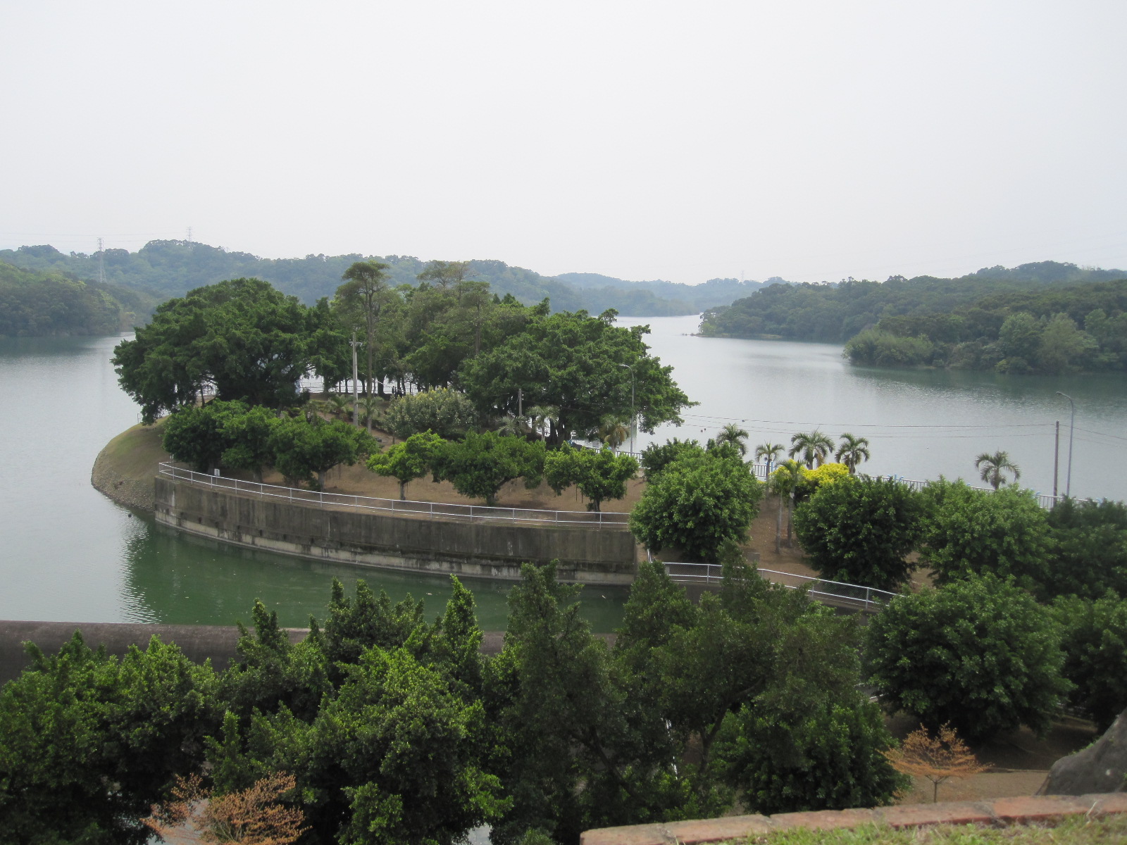 passing a scenic reservoir I joined route 3 which was to take me a good part of the way to my night stop in Puli (or Pulli). Shortly before a town called Sanwan was a tourist attraction which turned out to be a Buddhist monastery with limited public access. There were lots of people just looking, some praying, and as I wandered around a few of the monks nodded and smiled benevolently but did not attempt to break through the language barrier.
For about the next 50 miles the road was scenic but busy, running alongside the mountains before eventually losing most of the traffic and starting to climb in the direction of Pulli. According to the Lonely Planet guide Pulli was a resort town with expensive hotels, and I expected to find somewhere like Harrogate or Cheltenham. By the time I got there it was dusk, and the main street was a scene of frantic activity, ablaze with neon signs and all the characteristics of a Chinese town. Driving through such a street is an all consuming experience, demanding a high level of concentration to deal with chaotic events on the road against a background of multiple distractions. Nothing like Harrogate at all.
Once through the main street I managed to find somewhere to park and take stock of the situation. The jet lag was still coming into play, and I did not feel like wandering about searching for a hotel. I looked around and saw a sign saying HOTEL high up on a building not far away. Without too much trouble I managed to find it, and it turned out to be quite a classy looking place called the Yoou Shan Grand Hotel. When I entered the vast and impressive reception area I realised that in every way, including price, it was outside my normal range. I also realised that, scruffily attired as I was (and always am), I was outside the normal range of its clientele.
As I booked in I put on a brave face and the staff did likewise. My room was, as expected, near perfect, the only striking thing being the high-tech Japanese lavatory, the first I have seen outside Japan. It was a more recent development of the ones I saw there, having a remote control unit that could be detached from the wall and used anywhere in the room. This meant that it was possible, amongst many other things, to lift the seat cover, the seat, and flush the bowl without getting out of bed. Very useful. Comprehensive instructions in Chinese were on the wall alongside the toilet, with graphic pictures showing the multitude of available functions, and next to them a telephone. This was presumably to summon help if the lavatory went out of control while you were sitting on it.
To offset the vast cost of the accommodation I went out for a cheap meal, and as I walked across the reception area someone ran in front of me to open the door. From this point on the staff fawned over me to such an extent that I decided that they thought either that I was a hotel inspector for a Western travel company or that I was a prospective purchaser of the establishment.
The next morning I was the only guest in the enormous restaurant and as I approached the breakfast buffet a young lady followed to help me work the coffee machine, which was about 70 yards away. Just as I had eaten as much as I wanted a waiter came over and said the chef had prepared something special for me. This turned out to be a ‘Western’ breakfast. ‘Western’ breakfasts in the Far East seem to be prepared by people who have never been to the West, but have read about it, and this one was no exception. However, to avoid causing offence I did my best to do justice to it and expressed my appreciation.
The plan for the day was to drive across to the east coast via one of the few routes over the mountains. Looking at the map this entailed  a drive of 90 miles of continuous mountain road, rising to a height of 3,275m (10,600 ft) at Wuling in the middle. After a place called Wushe, about 15 miles from Puli, I ran into fog (actually low cloud, I suppose), and that went on for about two hours. The road was never straight for more than 150 yards, and varied in width constantly from 40 ft down to single track, with a sheer drop on my side, though usually protected by a substantial barrier. In many places the posted speed limit was 15 or 18mph, but that was too fast for the conditions. The traffic coming the other way was not heavy, but it consisted mostly of lorries and buses, and for stressful driving I can say that it was equalled only by driving into Moscow, which was a very different experience. After an hour it was becoming dangerously hypnotic, and I stopped for a while to rest. A thing that annoyed me was that I knew I must be missing fantastic scenery.
Once over the summit at Wuling, which is the highest made-up road in East Asia, visibility improved and the scenery appeared, in the form of tree-covered mountains in all directions. This altitude in the European Alps would be far above the tree line, exposing bleak, bare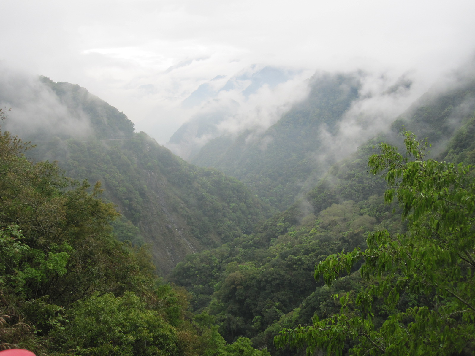 or snow-covered rock, but personally I prefer the lush, green vegetation of Taiwan.
The road was now in Taroko National Park, famed for its beauty, and the drive for the next 50 miles was a motoring enthusiast’s dream, with seemingly endless hairpin bends, tunnels and rock arches. It.finally entered Taroko Gorge, known as one of ‘The Seven Wonders in Asia’. Unfortunately I did not have time to explore the many walking and cycling trails, for which a week would not be adequate, let alone a day. From Puli it had taken all day to drive the 90 miles to the east coast on the Pacific Ocean, but despite the fog I think it was the best day’s driving I have ever had. The road actually comes to the coast at a small place called Hsincheng, but I decided to drive about another 12 miles south to Hualien, a larger town where it would be easier to find accommodation. In the event it proved to be easy to find a decent hotel at less than half the cost of the one in Puli. By the time I had a walk around and a cheap unadventurous meal in a convenience store I was too tired to do anything but go to bed.
Before driving north the next morning I went into Hualien, and by chance discovered a marvellous street market. The amazing thing about it was the incredible number of elderly people, men and women, turning up on motor scooters. Some of them must have been 90, and if they were having difficulty in balancing they didn’t give up, but just had an extra pair of wheels fitted at the back, alongside the normal rear wheel. One or two had dogs standing on the footboard, and it was clear that for these people their scooters had been an integral part of their lives for many years.
From Hualien I drove northwards along the coast to the strangely Anglo-Saxon sounding Chisingtan Beach. It was hard to believe that the last time I had seen the Pacific was in Valporaiso in Chile, which I subsequently discovered was 11,500 miles straight across the ocean, further than the shortest distance between England and Australia.
For about the next 60 miles the road, as Highway 9, followed the edge of the mountain range, a spectacular route wending its way along the cliff face with steep climbs and tunnels through the rock. Looking across the sea to the right I was reminded of the much acclaimed  Pacific Coast Highway in California, about 7000 miles away with only water in between. I have driven the best parts of the PCH several times, but never been as impressed as I expected to be, and to my mind it cannot hold a candle to Taiwan Highway 9. The only problem with Highway 9 is slow-moving trucks, although their drivers are as helpful as they can be in creating overtaking opportunities. It is said that the coast road running about 150 miles
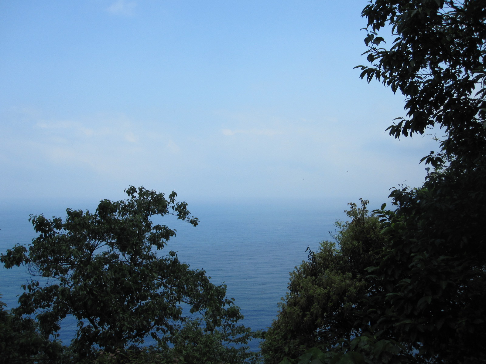 south from Hualien is even more scenic than the stretch I drove.
Some distance after a town called Suao I turned inland, between rice fields, to Lotung (or Lodong or Luodong) where I found a hotel for the night. Most Taiwanese towns have a night market, and the people in the hotel told me how to find the one in Lotung, but I was actually a bit disappointed with it. I don’t know what I was expecting, but it was just a day market held at night!
During my visit to the Great Wall of China near Beijing the previous year a group of young office workers from Taipei had invited me to join them in sharing a minibus, an arrangement that worked very well for me. We kept in touch and agreed to meet again on my planned visit to Taipei in 2014. They suggested that I call into their office on the afternoon following my stay in Lotung, 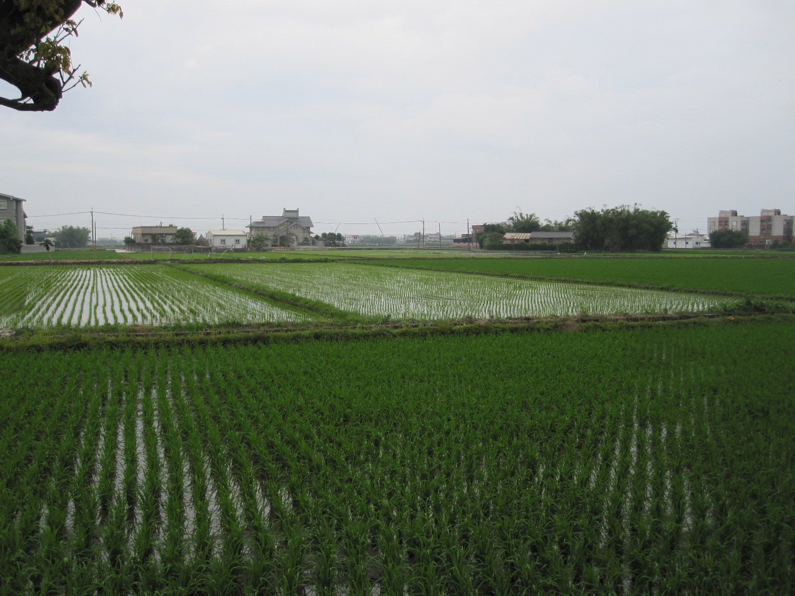 which meant driving across the mountains on an old mountain pass or taking the shorter, faster, freeway including a 12.9km tunnel. Most sensible people would have taken the latter route, so I chose the former. It was
 yet another brilliant drive with a town called Pinglin half way. Pinglin has the character of an American western town, and at one time must have been quite isolated, but now has a freeway junction close to it.
The following morning I had an appointment with my business associates in Chungyang Road, Taipei, so before leaving home I had booked a hotel about 200 yards from their offices in the same road. This meant driving about eight miles across the city, which would have been a very daunting prospect without my GPS phone, but in the event proved to be fairly easy. Taipei was a far cleaner and 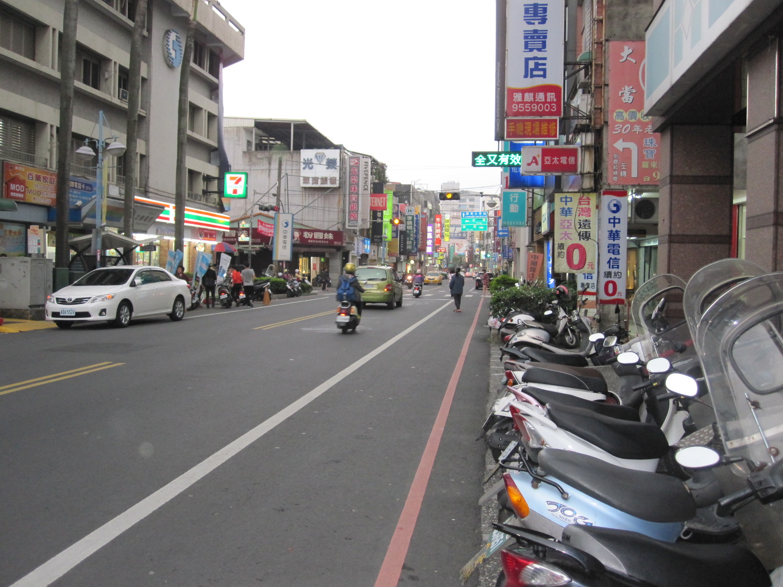 pleasanter place than I expected, the traffic in the middle of the afternoon being quite civilised. With the car safely tucked away in the hotel’s underground car park I set off via the metro for my friends’ office near the city centre.
For years I had imagined that Taipei was like a vast slum, full of two- or three-storey crowded sweatshops in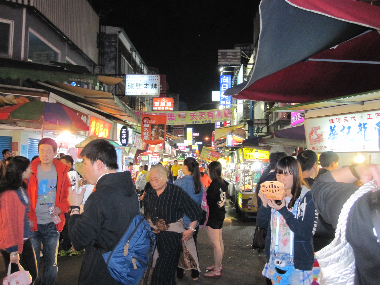 narrow alleys, with people slaving away in poor conditions. I did not see anything like that, and my friends turned out to be working on the sixth floor of a large modern air-conditioned office block that would have been at home in Canary Wharf in London. They actually work for a sports marketing company that organises baseball and basketball events mainly in association with American teams, hence the fact that they all speak good English.
When I left them the rush hour was just getting under way and the scooters were out in force. At the traffic lights they ride to a dedicated scooter space at the front of the queue, forming a dense block, and when the lights change the description ‘Traffic Lights Grand Prix’ is a gross understatement. The use of scooters on this scale in a developed country is probably 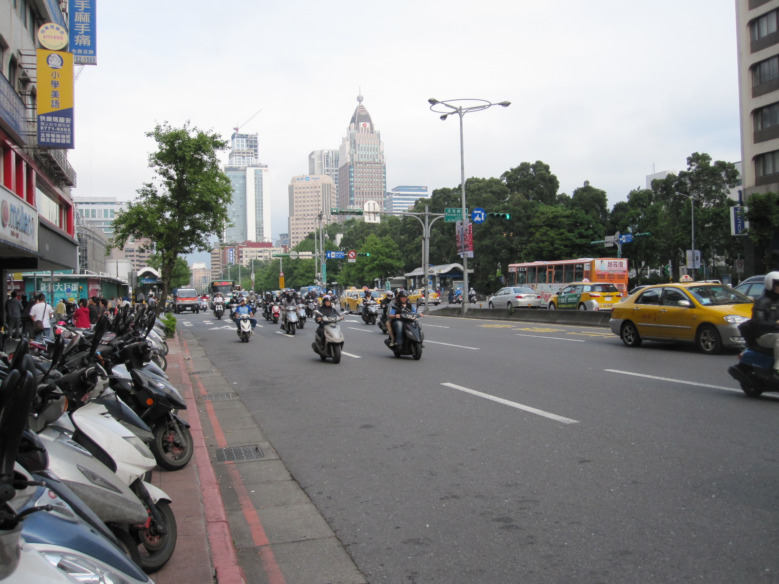 unique to Taiwan, but it must greatly reduce the pressure on public transport. At 7.00pm in the subway on the way to back to my hotel I was able to get a seat immediately, which would not have been possible at that time in most capital cities.
Before going to the subway I wandered round the central area, which is dominated by Taipei 101, the world’s tallest building from 2004 until 2010, and still boasts of having the fastest lift, at 1010m per minute (approx. 37mph) going up. The top was in the clouds. Another spectacular building with classical Chinese architecture is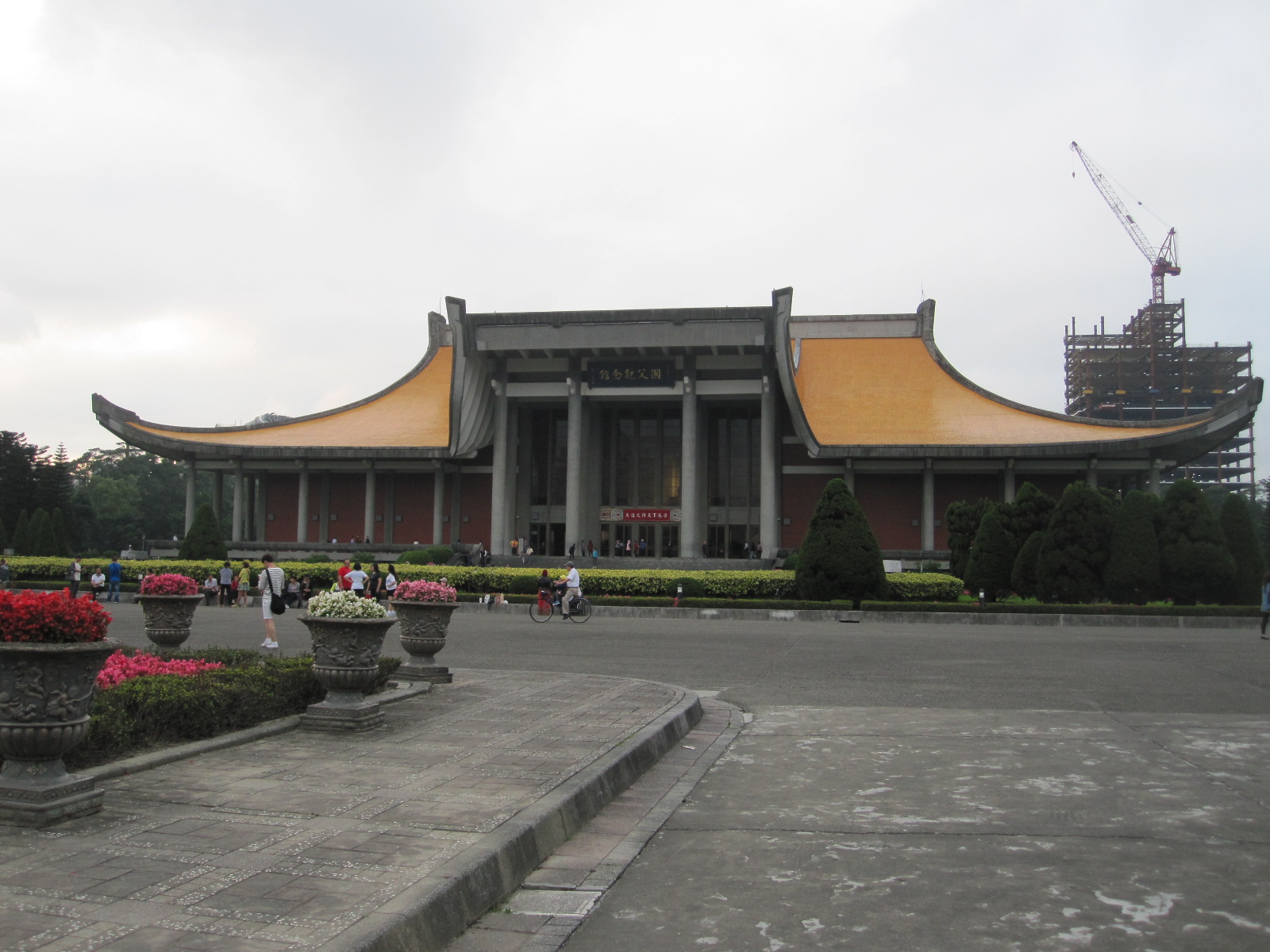 the Sun Yat-Sen Memorial Hall, containing a large seated figure of Dr. Sun Yat-Sen, the founding father of modern China. Unfortunately I did not get time to see the downtown area of the city.
At 10.00am the next morning I drove along Chungyang Road to my business associates who were also in an impressive modern building, far better than the one I work in in England. Following a discussion I was shown their state-of- the-art factory and then taken out to lunch at a nearby restaurant. In the afternoon a lady named Annie took me by taxi to Taipei 101 where we experienced the breathtaking lift and view from the 89th floor. The building actually has 101 floors, hence the name. but the highest part open to the public is a small outside area on the 90th floor with a limited view but unlimited wind.
My flight to Beijing was the next day, so I had booked a hotel in a small town called Taoyuan not far from the airport. At least, I thought it  was a small town, but all Taiwanese towns are larger than you expect and Taoyuan was no exception. It seemed to be quite an old town,
 and the hotel was in a central area of narrow one-way streets around an ancient temple, making it quite hard to find even with the magic phone. The area was very lively in the evening, with a vast range of shops and eating places, including a couple of big department stores.
At the Car Plus rental office in the HSR station the next morning everything went smoothly when I took the car in. Renting cars in foreign countries is fraught with potential problems at the best of times, and when communication is almost impossible you are dependent upon the honesty of the people you are dealing with. In Taiwan I had not met anyone whose integrity I doubted, and I had no reservations about the Car Plus staff.
The A330-300 to Beijing was full, and as far as I could see I was the only Westerner on the flight. At one point a stewardess came down the aisle carrying a single blank entry card for China and gave it to me. At Beijing airport there was no problem in arranging the 72-hour visa-free stay or with getting the Airport Express to Dongzhimen subway station. I had booked a hotel for three nights near the station, to minimize the need to hump my bags around the city. The JI Hotel was about 400 yards from the station and easier to find than I expected, but had no English-speaking people at the reception desk. Somehow we muddled through without Google translate.
The plan for the next day was to visit a privately owned classic car museum in a town called Huairou, about 20 miles north of Beijing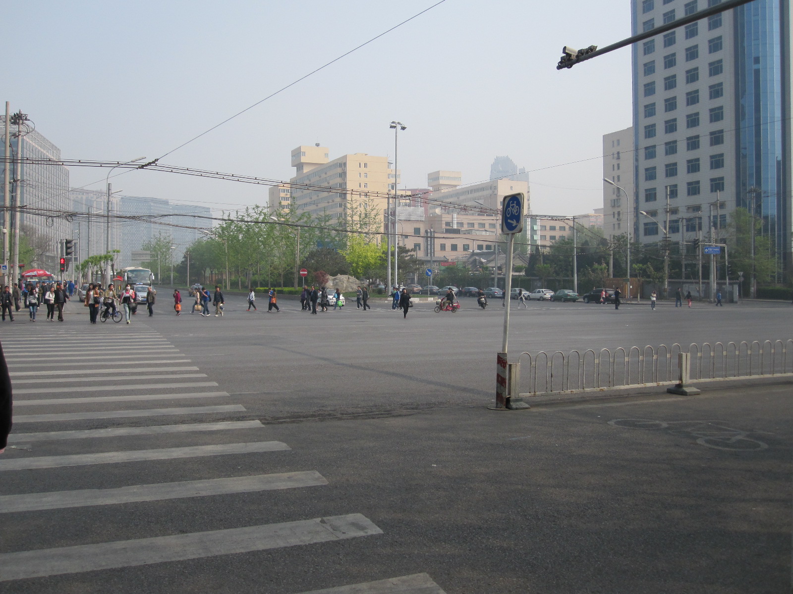 and it would also be an opportunity to look round a Chinese town other than the enormous capital city. On my previous visit I went through Huairou on the way to the Great Wall at Mutianyu, but did not have time to get to the museum, although at least I remembered how to get to the town.
The usual way for tourists is to take the so-called fast bus from the Dongzhimen Transport Hub, just around the corner from my hotel. The bus was easy to find, with a bright neon sign on the front showing 916 followed by a Chinese character meaning FAST (I had read about this on the internet). The queue was also easy to find, being about 100 yards long, but it seemed that the buses were running on demand rather than to a time-table, and as one drove off another one appeared, so the wait was only about 15 minutes. The fare for the 20-mile journey was 12 yuan (£1.20).
Most of the way to Huairou is motorway, and I knew from my previous experience of this route that it would probably be slow going on a Saturday morning. One cause of the hold-up was the toll station with about 12 booths a few miles north of Beijing, but it seemed that there had been an incident of some sort as well, and the bus crawled at a snail’s pace for a long time. For a country in which a relatively small proportion of people own cars the volume of traffic was amazing, but as with everything else in China, a small proportion of the population is still a very large number of people. The sun was blazing through the window next me and although there was supposed to be air-conditioning it did not seem to be working very well, to the point where I was seriously worried about getting heat stroke or something. Most of the other passengers were younger and didn’t appear to be very bothered, but I was relieved when the bus finally got moving properly.
The terminus was Huairou Bus Station, and as expected I was hassled by taxi and minibus drivers wanting to take me the Great Wall. They could not imagine that a Westerner would want to do anything else, and were perplexed when I walked across the road to the toilets and then went off in search of a cup of coffee.
I found a small café and went in and asked for coffee. Apart from a couple of times in the American South (where you have to ask for ‘car-fee’) I think this is only time I have not been understood, and here I was very not understood. The people looked at me as if I had just dropped in from another planet, possibly the first Westerner they had seen close up. I repeated ‘Coffee’ a few times, and the lady in charge then suddenly produced two small sachets of Nescafe. I said “Yes!, Yes!”, and they all started to laugh. She held up a small glass, and I said “Yes”, so in a short time she returned with it containing a strong solution of Nescafe in hot water. Apparently this was very, very, funny, and all the time I sat drinking it (it was pretty horrible) they were chuckling away looking in my direction. When I asked to pay they refused to accept anything, seemingly because the entertainment value far exceeded the cost of a sachet of Nescafe and some hot water. This was entirely lost on me, but I left feeling that I had made a small contribution to East-West relations.
A short distance along the road I found a taxi waiting for a fare, and showed the driver the address of the car museum in Chinese which I had printed off their website. He knew immediately where it was and took me there by the most direct route, which I had memorised from a map. The museum was in a warehouse-type building, and contained a collection of mostly Chinese and Russian vehicles collected by 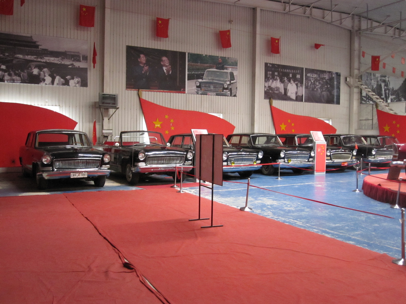 Mr.Luo Wen You since the 1980s. There were some very strange cars about which I would have liked more information, but no one spoke English and all the notices were in Chinese. Towards the end of my visit a man of uncertain age appeared, and a lady who spoke a little bit of English introduced him to me as Mr.Luo Wen You. He spoke no English, but insisted on taking me back into the collection and photographing me (using my camera) alongside some of the prize exhibits. A large group of people in their late teens were visiting the museum and one or two who spoke good English were then summoned to act as interpreters.
My intention had been to ask the museum people to phone for a taxi to take me back to the bus station, but before I had a chance it was explained that it was not convenient to get a taxi so Mr. Luo Wen You would take me to a bus stop in his car. After being photographed with me in the entrance to the building he took me in his well worn Skoda to a bus stop at the side of a dusty main road in the somewhere in the suburbs.
A few other people were waiting for the bus, and I somehow realised that this was the route of the 916FAST to Beijing. That was a problem, because before going back to Beijing I wanted to go to the toilet, have something to eat, and have a look round Huairou. Also, I was thinking of going back on the train, just for the experience.
By pointing to Huairou bus station, labelled in Chinese on my map, I was eventually able to persuade everyone that that was where I wanted to go, although they could not understand why a foreigner could possibly want to do anything other than get back to Beijing as soon as possible. A bus came that was not the 916FAST and everyone told me to get on it, so I did, assuming that it was going to the bus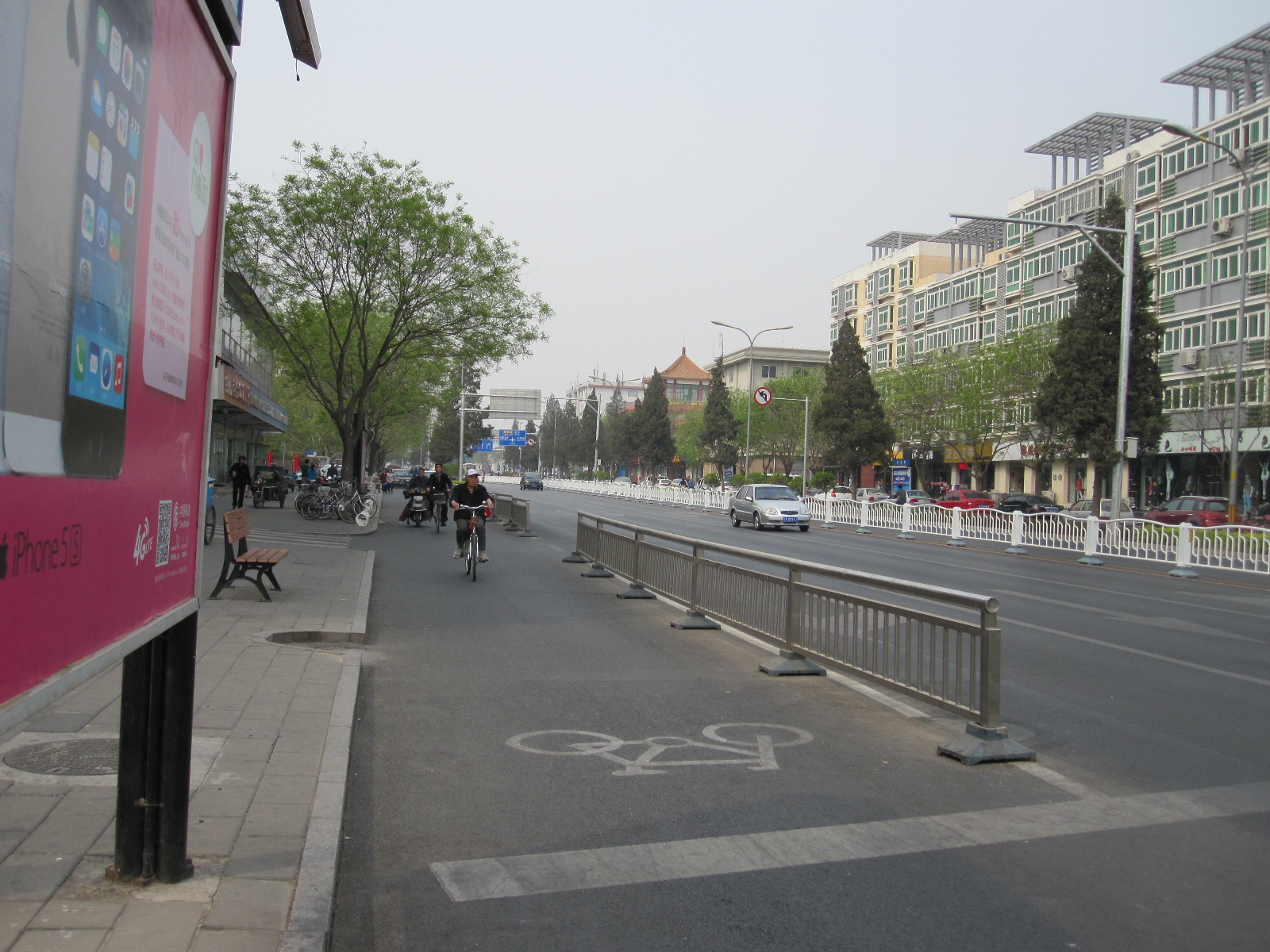 station. However, a couple of miles along the road it stopped at a bus stop where another bus was standing. All the people round me shouted “GET OFF, GET OFF” and pointed to the other bus. Not understanding what was happening I got off, and then realised that the other bus was the 916FAST to Beijing! It pulled away before I had time to get on it anyway, so I was back to the roadside and the whole thing started all over again. A different lot of people were at this bus stop and I was just trying to convince them that I wanted to go the bus station when a taxi driver standing nearby offered to take me there for 50 yuan (£5). I jumped at the chance, and within a couple of minutes we stopped at the bus station. When I gave the driver a 50 yuan note he gave me 35 yuan back, so the fare was actually 15 yuan, a misunderstanding due to the subtle difference between 15 and 50 when spoken with a Chinese accent.
A quick visit to the toilet and then a walk into the town to find something to eat. By now I was desperately hungry and seized upon the first opportunity to get some food, which was in a burger restaurant. Needless to say, no one spoke English, but there were pictures of meals all over the walls, and I pointed to one consisting of a burger, chips and ‘soda’. This seemed very straightforward to me, but it wasn’t to the staff, who responded with various questions in Chinese. I just pointed again, said “That, please”, and indicated which drink I wanted from the cabinet before sitting down. Eventually an enormous burger and great quantity of chips appeared, and I realised that they had answered one of their questions by deciding that I wanted to “go large”.
By now it was apparent that Huairou was a ‘new town’ similar in character to Stevenage or Crawley, and was about as interesting. It was nothing like the more traditional Chinese towns that I had seen in Taiwan, and as time was running out anyway I made my way to the 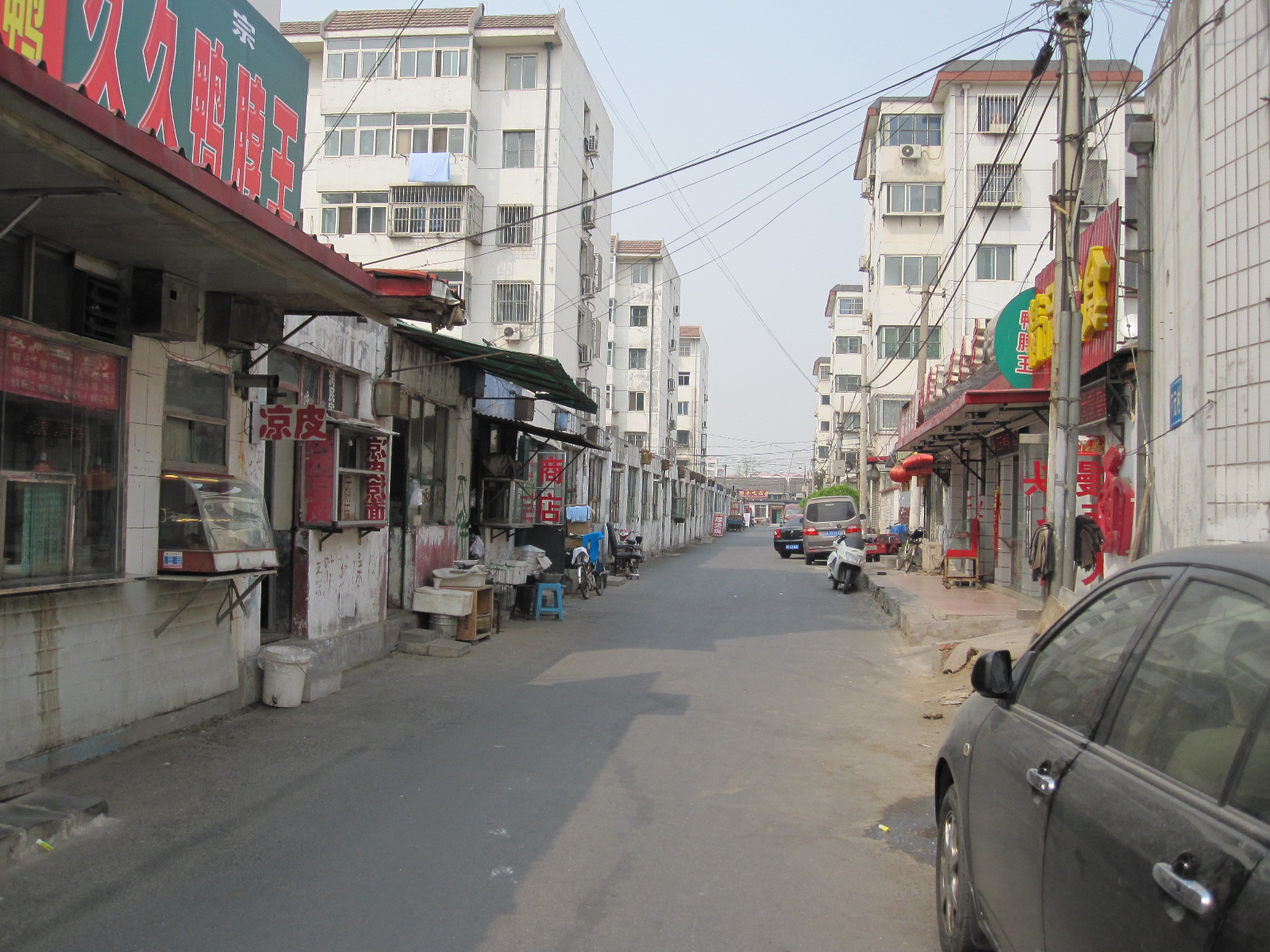 railway station. This was deserted apart from the man in the ticket office, who clearly resented being disturbed in the middle of the afternoon, especially by a foreigner. When I asked for a ticket to Beijing he wanted to see my passport. No one had asked for that on the bus, so presumably people plotting to overthrow the Chinese government only travel by train.
He told me the fare, which was slightly more expensive than the bus, and mentioned that the next train was not for two hours. On hearing that I had to drop the idea, because there were buses every 10 minutes or so, and I needed to be back at my hotel to meet my Chinese friend Herbert at 7.00pm.
Herbert was my guide for the electric scooter tour on my previous visit to Beijing and we had kept in touch by email. At one time he worked in HR for a hotel group and then became a full-time tour guide. He has his own website and I was very impressed with the professional manner in which he does things, acting almost like a one-man travel agent. We went for a meal to a “roasted duck restaurant” near my hotel and it was interesting to talk to him about life in Beijing amongst other things.
Originally I had hoped to rent an electric scooter the next day to go to yet another car museum in the south east of the city near the fourth ring road, but it was at least 10 miles each way, and bearing in mind that I would probably get lost the rental firm said there was a risk that the battery would not last out the whole journey. It would obviously be a big problem to be stranded somewhere in the suburbs, so that was another good idea that I had to drop.
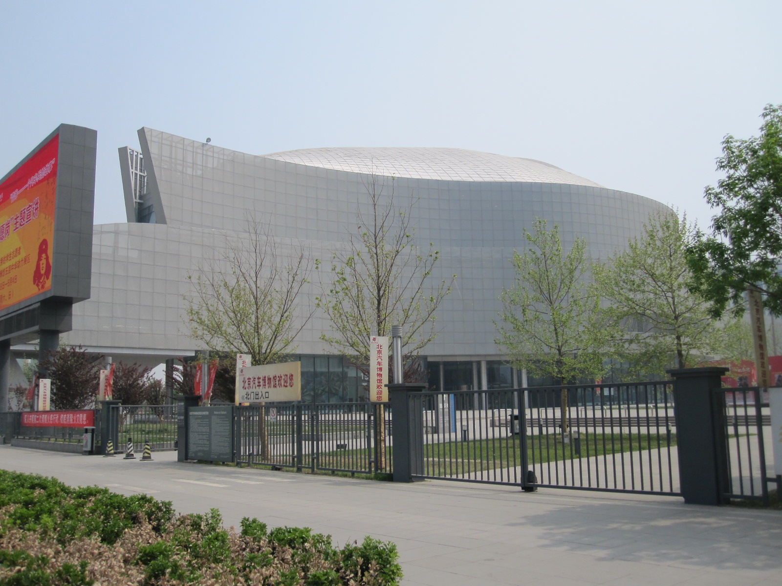 The only sensible alternative was the subway, which meant 18 stops with several changes but it is very cheap
 and quite easy to use, although I had to stand a lot of the time. The Beijing Auto Museum is government owned, with an impressive building only a few years old. It was vaguely inspired by the Mercedes Benz Museum in Stuttgart, with several floors, and the whole idea of a communist government investing so lavishly in a monument to the motor car does seem rather odd, but it has a strong educational content with lots of entertainment for families rather than car enthusiasts. Judging by the number of people there it is very successful.
Afterwards I made my way back to Tiananmen Square by underground, and was surprised to find on the approach to the square a security checkpoint in which my back pack was x-rayed. This was apparently because it was close to the 25th anniversary of the incident in which a large number of students were shot during an anti-government demonstration. From the world’s  largest public square I followed a lot of other people over a bridge and through an opening in the Gate of Heavenly Peace, leading towards the Forbidden City. It was too late to go into the Forbidden City, so I cut across to the main shopping area which was still thronging with people including many foreign tourists.
Within a short time I was accosted by a charming young lady who spoke excellent English, and she asked me where I was from. I said “England”, and she replied “I am a student, I am learning English. Can I walk along with you and chat for a while?” Fortunately, I am a man of the world and have read all the right books, so I knew what this was about, and it is not what you think. It is a common scam in that area. They walk with you for a while, then suggest that you go into a place for a cup of tea. You are taken into a traditional Chinese tea house and involved in an elaborate, long drawn out tea-making ceremony. When you come to leave at the end they present you with a bill for £250. If you refuse to pay a heavyweight man appears and says that is the charge for the tea-making ceremony, so pay up or else! I declined to get involved, and as I walked away she said, in a very hurt voice, ”Oh, why not?”.
Before getting the subway back to Dongzhimen I wanted to have a look at some hutongs, the lanes that made up most of Beijing in the old days. Large areas of them have been replaced by modern development, but a fair number are left in some places, and I came to some not far north of the shopping centre. Basically they are narrow streets lined with mostly single-storey buildings in which people live and in many cases also work. I set off along one lane with the intention of walking through to the next main street, which looked quite a long way, but after about 300 yards I realised that this was a much more run down area than the ones I had seen on my previous visit. It could only be described as a slum, with people living in very poor conditions, and although no one took any notice of me I decided that it might not be wise to proceed any further. In the USA or South America I would have been mugged before getting that far, but in Beijing it is generally considered to be safe to wander about.
The all-pervading light mist from pollution was present, as on my previous visit, and although it had no adverse affect on me a considerable number of people were wearing face masks in the street. This still strikes me as rather funny, with people walking about looking like Dick Turpin, and I look forward to the day when this practice is adopted in British cities, throwing the obsession with CCTV cameras into confusion.
At the airport the next morning everything was going smoothly until I came to the immigration desk in the departure area (I suppose it should be emigration, but they call it immigration), which was manned by a police officer. He looked at my passport, asked me to wait a minute and went away. When he came back he asked where I had stayed in Beijing, and when I told him the name of the hotel he said there was a problem because the hotel should have told the police that I was staying there, and they had not done so. He took me through the barrier, sat me on a chair and asked for details of the hotel. Unfortunately I had put all my hotel paperwork in my checked bag, which had disappeared to the mysterious place that bags go to on their way to the plane. He went away for some time, holding my passport, and eventually came back with two police women.
One of them said “Please come with us. We want ask you some questions”. Up to this point I thought it was slightly amusing, but now I was beginning to feel rather uncomfortable about it. I could see “British Tourist Held for Questioning in Beijing” in the Daily Telegraph, with a Foreign Office spokesman saying they were trying to secure my release. The ladies took me to a desk and asked again about the hotel, including my room number. I wrote down everything I could remember about the name and address, but they did not recognise it. I think the problem was that the name in English was probably different from that in Chinese. Anyway, after a few minutes they asked me to sign an A4 form covered in Chinese characters, which they said was to confirm that I had been questioned, and let me go. In the unlikely event that I go to Beijing again I shall probably find that I am in the Chinese army or have volunteered to collect bamboo shoots for the pandas in Chengdu.
Notwithstanding that slight setback, this had been a very good trip. Taiwan was everything I hoped for, with friendly people, interesting towns and beautiful scenery. In fact, a country that I felt I could live in, which cannot be said for many of the places I have visited. The Beijing area is extremely interesting, and I would like to go further afield in China, but the Chinese will not allow foreigners over 70 to drive there, and I have already had enough of the rigours of public transport.
Iceland 2013
CLICK ON PHOTOS TO ENLARGE
Iceland 2013
As the plane approached Reykjavik I was expecting a magnificent view of mountains, glaciers, smouldering volcanoes and waterfalls, all the things I had read about. Instead of that, once we broke through the heavy cloud cover all that was visible was a flat, barren, treeless landscape with an assortment of buildings that looked like a large military airfield. Not surprising, because that is what it was, built by the British when we invaded neutral Iceland during World War II, to prevent the Germans from doing the same thing. I don’t remember being told about that in school.
In the arrivals area a man from Sixt Car Rental was waiting for me, and took me to their depot, where I was introduced to my car, a blue Chevrolet Spark. The Spark is not detectably related to any American car of that make, but a tiny, substantially blinged-up descendent of the Korean-built Daewoo Matiz.
Reykjavik International Airport is not actually near Reykjavik, but in Keflavik, a much smaller town about 30 miles away, right on the tip of the Reykjanes Peninsular in the extreme south west of the island. The dual carriageway from the airport to Reykjavik has been described as the best road in Iceland in terms of a transport link, and that is probably true, but it runs for miles through the above-mentioned featureless landscape before entering the city.
Iceland is four-fifths of the area of England, with a population only slightly greater than that of Coventry (330,000), and two-thirds of those live in the south-western corner of the country, so it could hardly be described as densely populated.
Reykjavik
Reyjavik comes across as a thriving city, with an excellent road network running through extensive suburbs including a fair amount of industry. My hotel was easy to get to, about a mile from the centre, just off a main thoroughfare called Borgetan lined with large modern commercial buildings.
The temperature was about 6 degrees, and it started to rain as I walked to the centre under the heavy grey sky. This was just how I had imagined Iceland would be. The daylight hours near the autumn equinox were similar to those at home, which gave me about three hours to look round before dark. It was approaching the end of the holiday season, with some attractions and services already closed, but there were still plenty of tourists around.
 For a capital city Reykjavik has relatively few imposing buildings or ‘sights’. By far the most striking building is the Hallgrimskirkja, an
 immense concrete church with dramatic architecture, built between 1940 and 1974. It towers over its surroundings and is featured on every postcard and picture of the city. Another notable building is the Alþing or parliament house, built of basalt in the 19th century with a modern glass and concrete extension. The whole complex is no larger than most English town halls. The main street starts quite downmarket, lined with shops of increasing quality as you go westwards, finishing in a pleasant little tree-lined square, but none of it is terribly impressive. Tucked away amongst the more modern buildings are some with the traditional wooden construction covered with corrugated iron sheet, as seems to be the norm in all cold places.
However, bars, cafes, restaurants, pubs and clubs are not in short supply, and apparently every Saturday evening there is an almighty pub crawl called the Runtur, which takes over the whole city centre.
Mention of the Alþing brings me to matter of the Icelandic language, which uses the same character set as English, but with a few additional ones. The most used extra characters are þ and đ, both pronounced ‘th’ but slightly differently. Almost everyone I met in Iceland spoke good colloquial English with little accent, and sometimes I got the impression that they speak it amongst themselves. Lots of signs and notices are in English, sometimes only in English. Place names can be difficult, because many of them are very similar and hard to remember, like those in Wales.
The Golden Circle
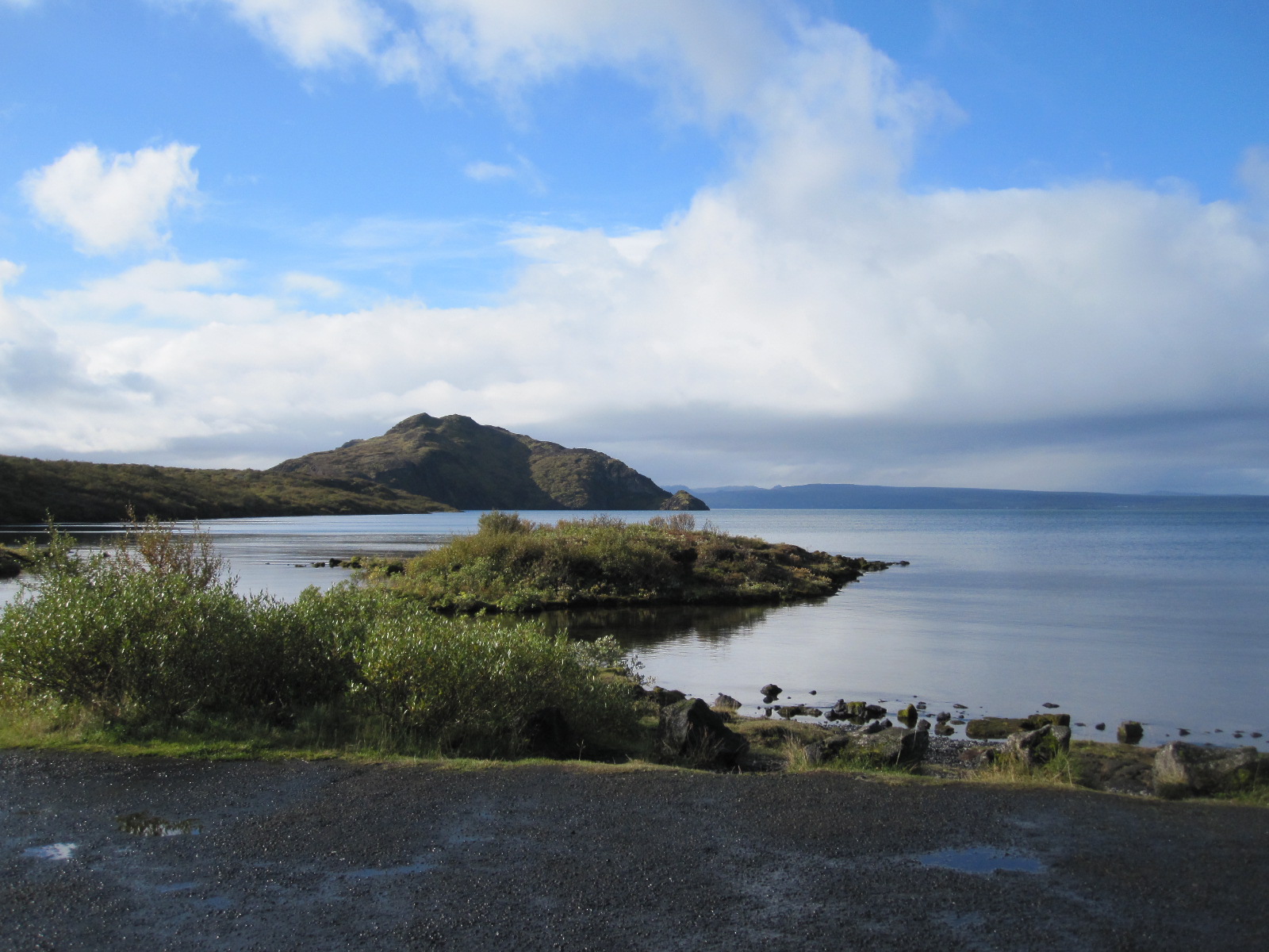 This is the real tourist trail. Within a region about 40 miles east of Reykjavik is the Þingvellir National Park,
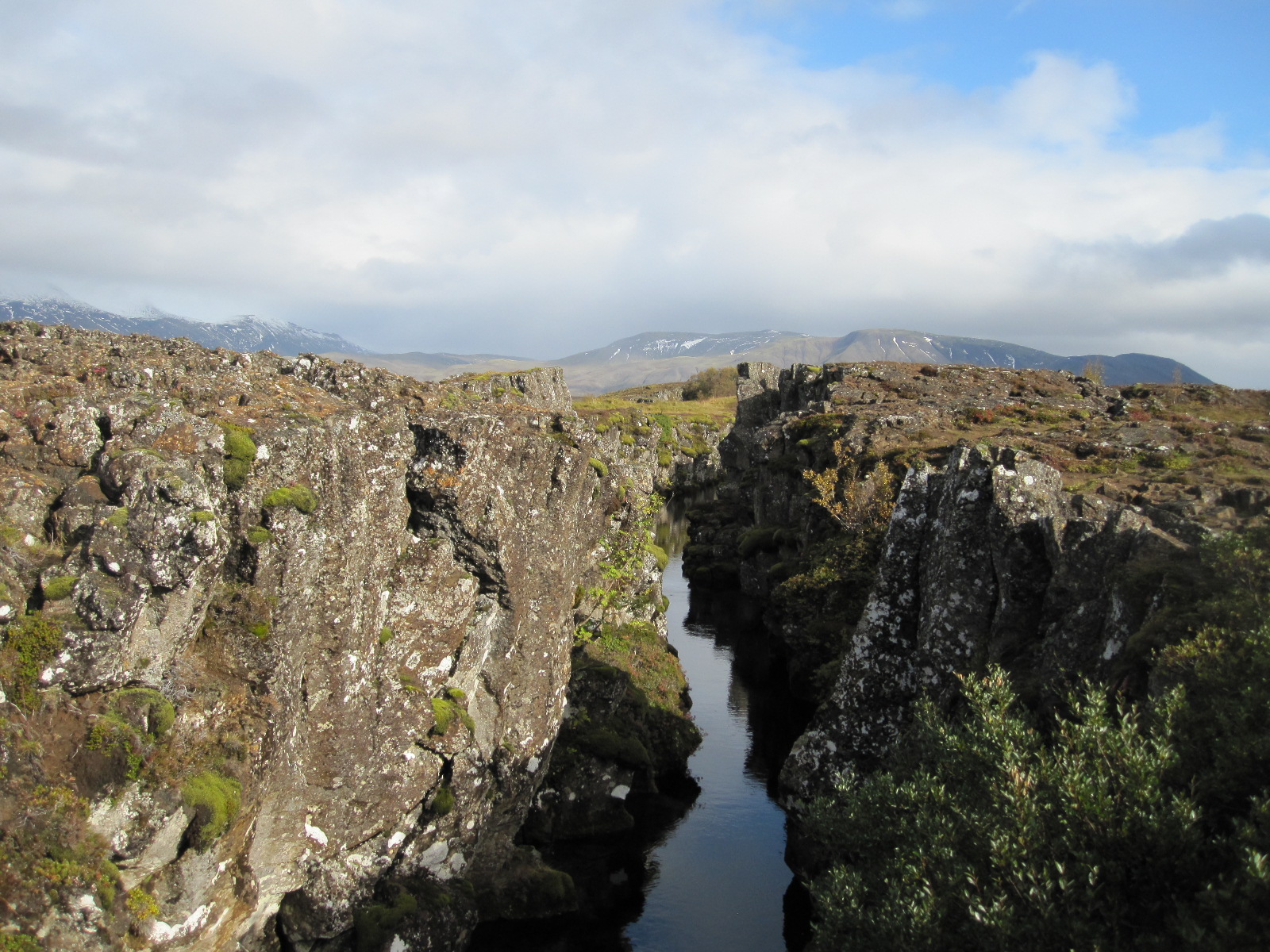 incorporating the largest lake in Iceland, and some of the best known sights in the country. This area lies on the boundary of the North American and European tectonic plates, which are slowly moving away from each other, causing spectacular fissures in the landscape where the rocks have literally been torn apart.
A drive round the north end of the lake leads to the hot springs area, with water at 80 to 100 degrees C. emerging from steaming pools of mud next to the road. Adjacent to these is Geysir, the original geyser that gave its name to others all over the world. Unfortunately Geysir, which spouted to a height of 80 metres, became blocked years ago by stones thrown into it by tourists, and although it has recovered to some extent following an earthquake the main attraction now is the nearby Strokkur. Strokkur erupts spectacularly every few minutes, sending water up to 35m into the air. When I arrived I joined a group of people standing on one side and watched it spout for a couple times. It seemed 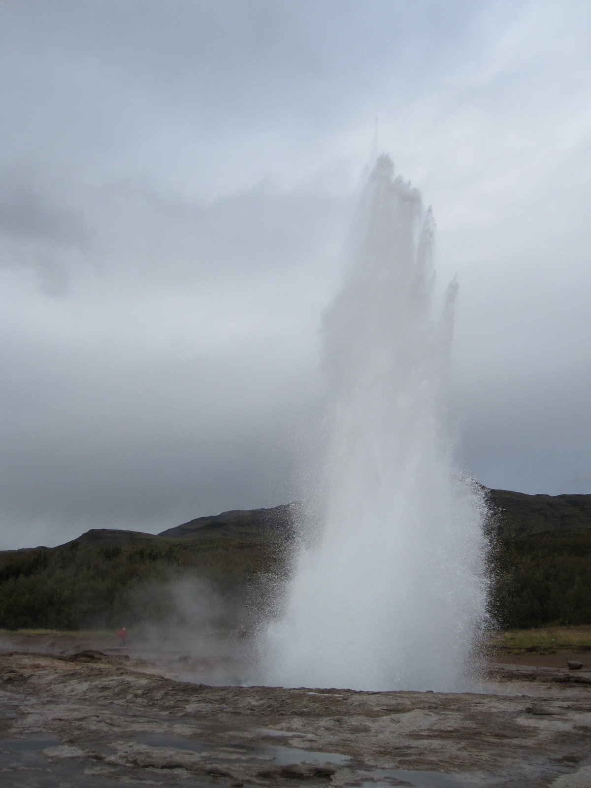 to me that the view would be better on the opposite side and I moved round to there, but realised when the geyser performed why the other people had not done the same. The water had actually cooled considerably by the time it came down to drench me.
This was the first but far from the last time my camera nearly got soaked, and one thing you definitely need in Iceland is a waterproof camera. On many occasions I saw people with expensive and complicated cameras (mine is not) standing in precariously wet conditions.
After the geysers the next stop on the tour circuit was Gullfoss, a magnificent waterfall, wide rather than high, like a miniature version of Niagara Falls but on two levels. Public access is free and well organised, although it does mean quite a bit of scrambling about to get the best views.
The road Rt. 35 northwards from Gullfoss is one of the few leading into the interior, and the only one apart from the Ring Road that goes right through to the north of the country without fording any rivers. In the summer it is used by toughened-up buses and by some locals with ordinary cars, but rented cars are not permitted to use it unless they have four wheel drive. Apart from Rt.35 virtually all roads leading into the interior from Rt.1 have the prefix F, which means that they do not have a sealed surface and can only legally be used by 4x4s. Had I realised how restricting this would be I would have rented a 4x4, but I was led to believe by Lonely Planet that an ordinary car would be suitable for most purposes, which is not the case.
From Gullfoss I cut across to Rt.30 leading southwards and even that involved a few miles of loose surface before coming back to tarmac and eventually Rt.1. For much of the way the most prominent feature of the landscape was Heckla, perhaps Iceland’s best known volcano until Eyjafjallajökull erupted in 2010. That last eruption was not expected at all, and 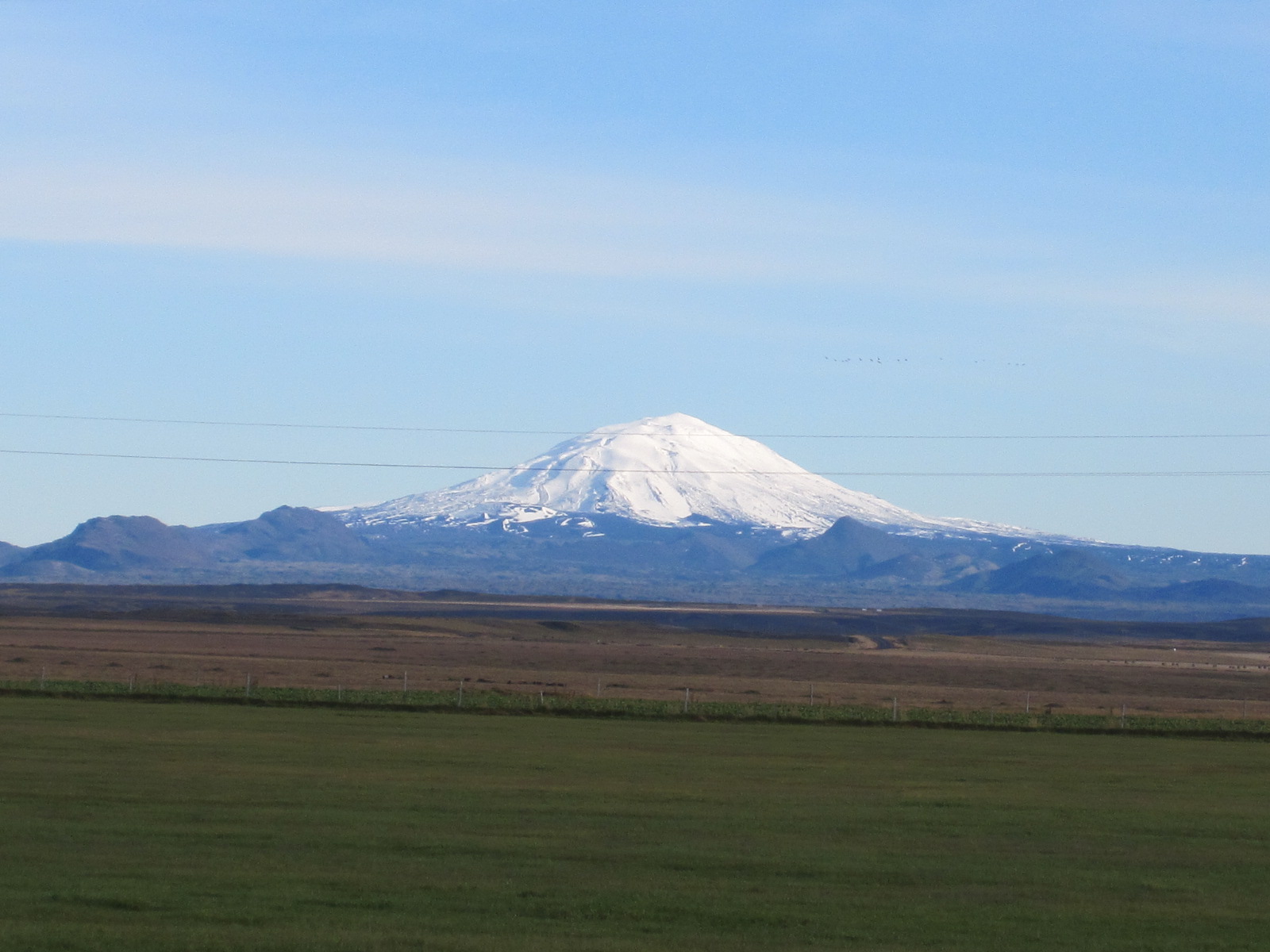 in the normal order of things it should have been Hekla, which had established a pattern of erupting about every 10 years, the last time in 2000. Viewed from Rt.1 Heckla appears as an almost perfect snow-capped cone, reminiscent of the iconic view of Mount Fuji in Japan, although Fuji is far higher. To my disappointment Hekla was not smoking, and was covered in snow at the top, although apparently the crater floor is still hot. It is possible to climb it, but that can be risky because it takes about four hours to get to the summit, and when it erupts it only gives about two hours warning.
Further to the east just off Rt.1 a few miles from a small town called Selfoss was my second night’s accommodation, an isolated farm guesthouse. The Guesthouse Lambastedir had 11 rooms in an almost new building separate from the farmhouse, and was basic but scrupulously clean. Amongst the guests were an American couple from Colorado who had been there for three weeks and were immensely enthusiastic about it, although they seemed to sit looking out the window at the flat and relatively featureless landscape most of the time.
On the advice of the friendly owner of Lambastadir I went into Selfoss for a meal at the Kaktus restaurant. As far as I know cactus is not on the menu, and I had fish and chips. The town is described by LP as witlessly ugly, which I thought was a bit over the top, although it is rather like an industrial estate apart from the area around the river.
Back at the Lambastadir I asked the Americans whether they had seen the northern lights, which is something I hoped to do, and they said they had looked every night but the weather had been overcast most of the time that they had been there. At 9.00pm I went outside and it was a wonderfully clear sky with an exceptionally strong full moon, but no sign of the aurora borealis. At 11.00pm I checked again, but still nothing.
However, this heralded a change in the weather which was to last throughout my stay in Iceland and the next morning was cold but bright. The first port of call was the Urridafoss waterfall, a smaller version of Gullfoss, where I was able to enjoy the view entirely on my own.
By now I realised that foss meant waterfall, and the next stop just off Rt.1 was Seljalandsfoss, in which the water tumbled over the edge of a high cliff in a comparatively narrow stream. A rough path led down to the base of the fall and round behind it, 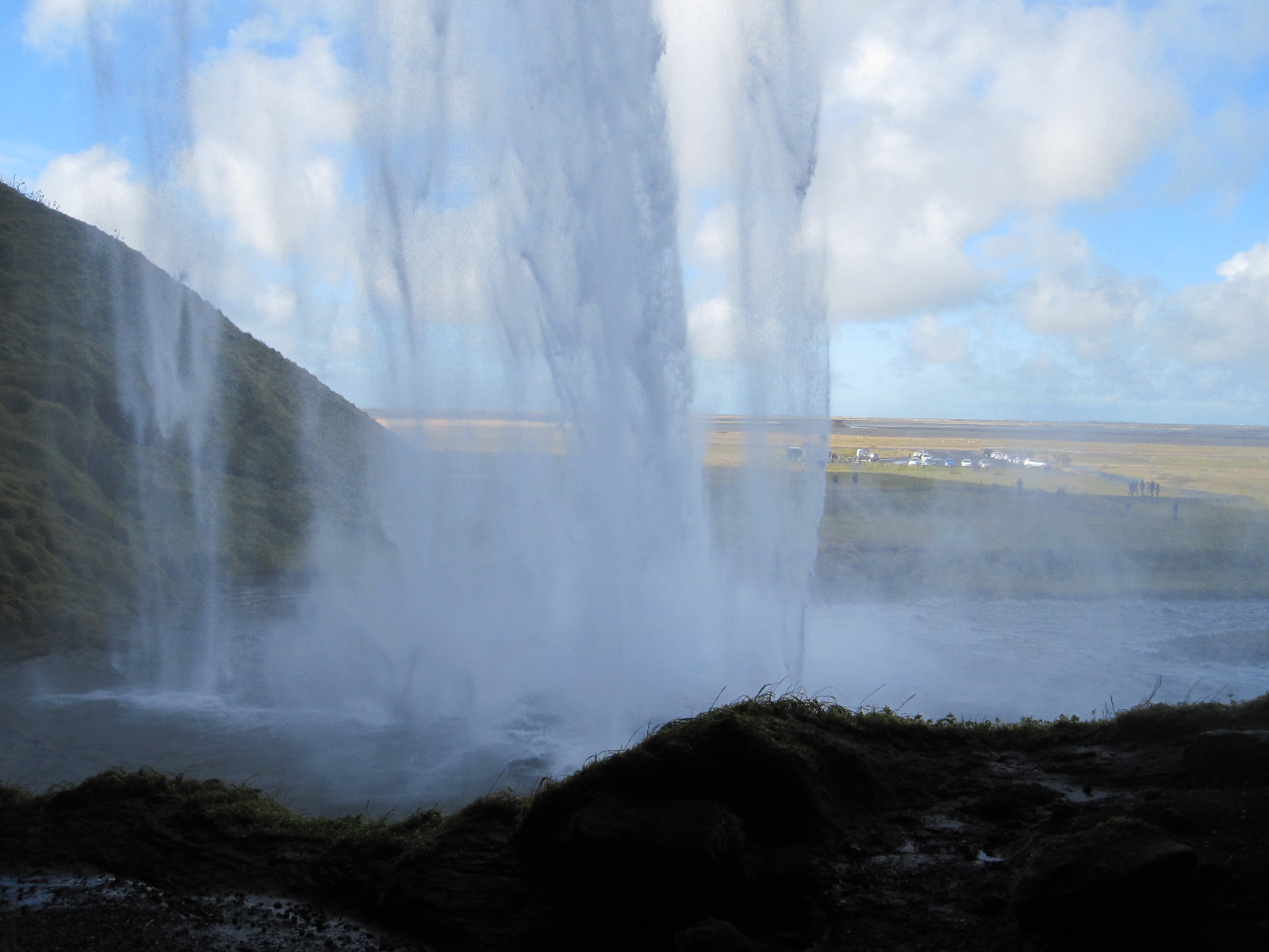 rising again, even rougher, on the other side. Predictably, the stretch immediately behind the fall was rather wet, but I had to risk a photograph through the curtain of water.
A few miles farther along Rt.1 the road passes close to the infamous Eyjafjallajökull, which is now, like most Icelandic volcanoes, covered with an ice cap. Right at the foot of the mountain is a farm which was devastated by the eruption but has since recovered to have good harvests and is benefitting from the increased tourism.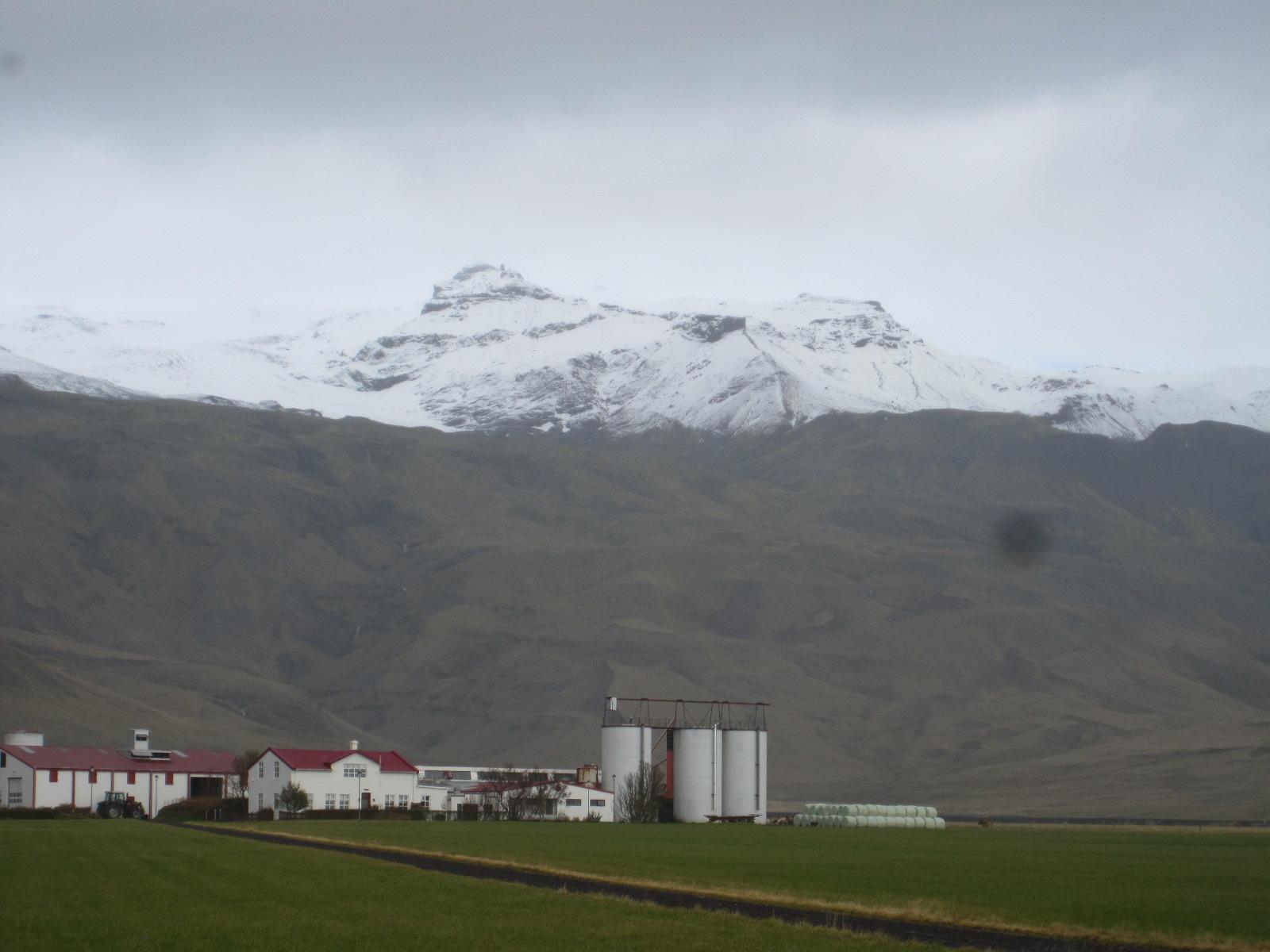 Like me, the pronunciation of Eyjafjallajökull probably defeats your imagination, but in every tourist shop in Iceland tee shirts can be bought emblazoned with a phonetic explanation in English – AY-yah-fyah-lah-YOH-kuul. During the eruption the efforts of British television newsreaders to pronounce it were a source of great amusement in Iceland.
Following Rt.1, a flat, smooth-surfaced road with the mountains on my left and the coast not far away to the right brought me to Skógar and yet another waterfall, Skókarfoss. This was like a larger, much wider version of Seljalandsfoss, but it was not possible to get behind it or even very close to it without getting wet. A long winding flight of steps led up the mountainside to the top but after the first couple of hundred I decided that it was not worth the effort.
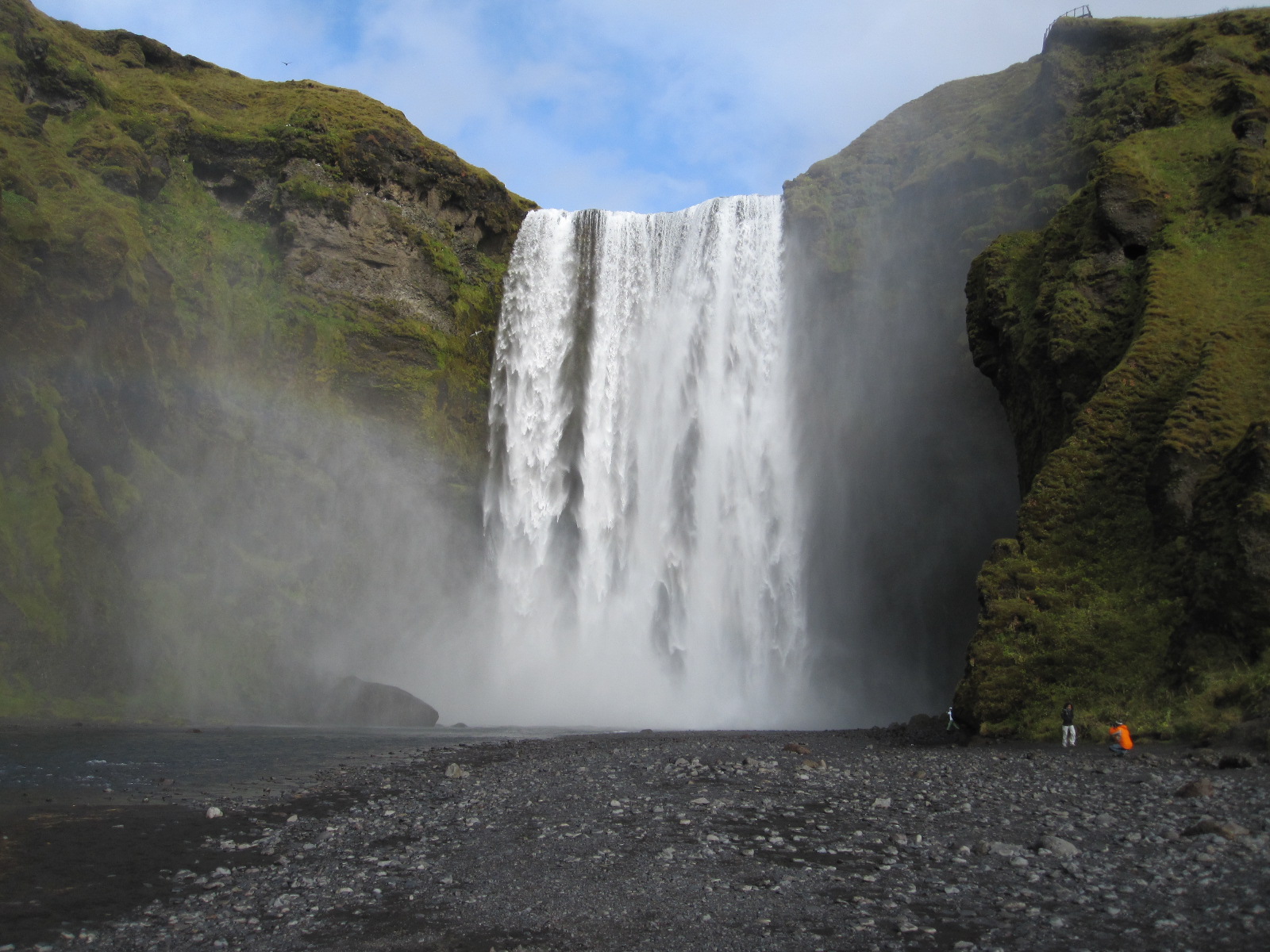 In the village of Skógar is the wonderful Folk Museum which covers all aspects of Icelandic life. It is an unbelievable collection of old buildings and artefacts gathered over more than 70 years by one man, who is now
 at least 90 years old. As I looked around he came up to me and introduced himself, speaking good English, and gave me a short personal tour of some of the exhibits.
Amongst the buildings outside is a row of turf-roofed cottages from the 19th century, with the tiny rooms furnished in the original style. In a separate complex nearby is the Transportation Museum, in which vehicles and communication systems used in Iceland throughout the 20th century are displayed. This includes examples of cross-country and military vehicles dating back to the 1920s, including a rare Cirtroen Kegresse half-track truck, one of the few vehicles that would have been capable of travelling across the interior in the winter.
This spurred me on to try going off the beaten track again, towards the Mýrdalsjökull glacier, an ice cap covering the volcano Katla, which is also due to erupt before too long. The road (Rt.222) was ok for a while, but then became increasingly rough until it reached a yellow sign stating IMPASSABLE . By now stones were banging against the underside of the car and the sign clearly meant what it said. Foiled again.
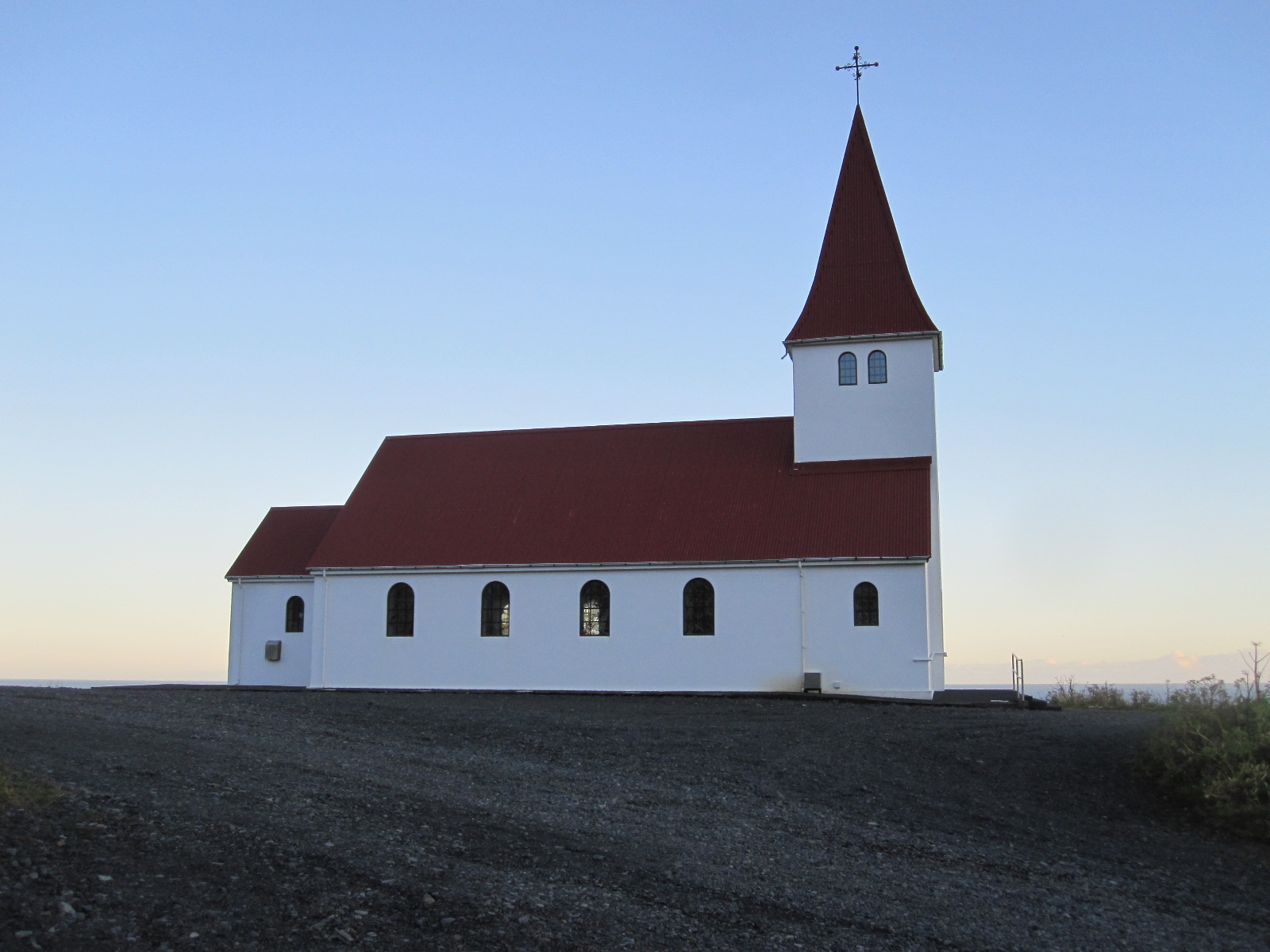 My night stop was to be in Vik, a tiny coastal town acclaimed for its beauty. The road climbed for a while before Vik and then dropped down into the town, with a pretty little church perched on a hill above it. The setting was undeniably beautiful, but the town itself was not, consisting of streets in a grid pattern lined with buildings in which function took priority over form in most cases. There were two or three functional hotels and a functional filling station cum restaurant on the main road. This afforded a good photo opportunity of my tiny car parked
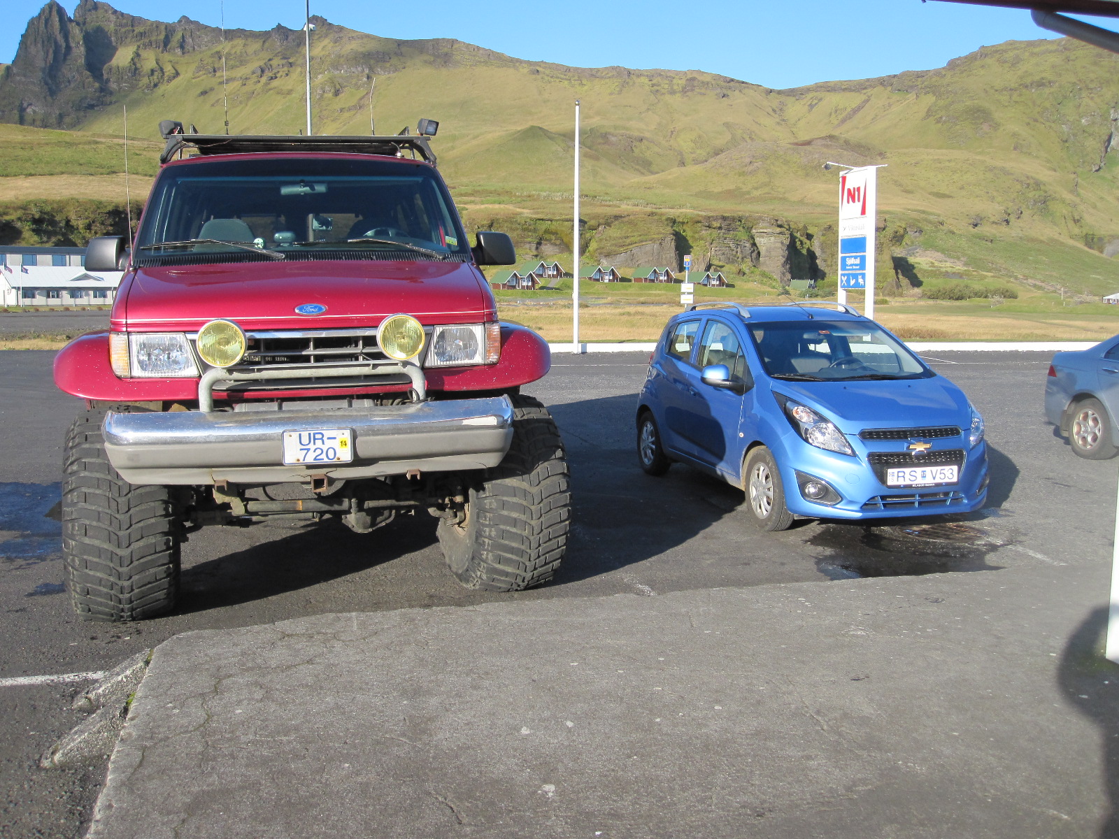 alongside one of the enormous special 4x4 vehicles that are used for journeys into the interior, and confirmed that I did not stand much chance of driving far off the main road.
The hotels were ridiculously expensive for what they were, but adjoining the Hotel Lundi was the Guesthouse Puffin, recommended by LP despite being described, correctly, as having very thin bedroom walls. They also mentioned a ‘possibly haunted lounge’. Probably haunted by people who had dropped down dead on learning the prices of the hotels in Vik.
Once sorted in my tiny room I drove down to the beach which was covered with coarse black sand typical of volcanic areas. This was said to be good place to see the puffins that live on the adjacent cliffs, but they were out at the time of my visit, so I climbed up to the church which afforded a good view over the town and sea.
Back to Reykjavik and the WestCoast
One problem with Iceland is that once you leave the south western corner you are confined to places not far from the ring road unless you have a vehicle suitable for going into the interior. The ring road is 832 miles long, which I could hardly complete in the time that I had left (1½ days), so the next day there was no alternative to retracing my steps in the direction of Reykjavik.
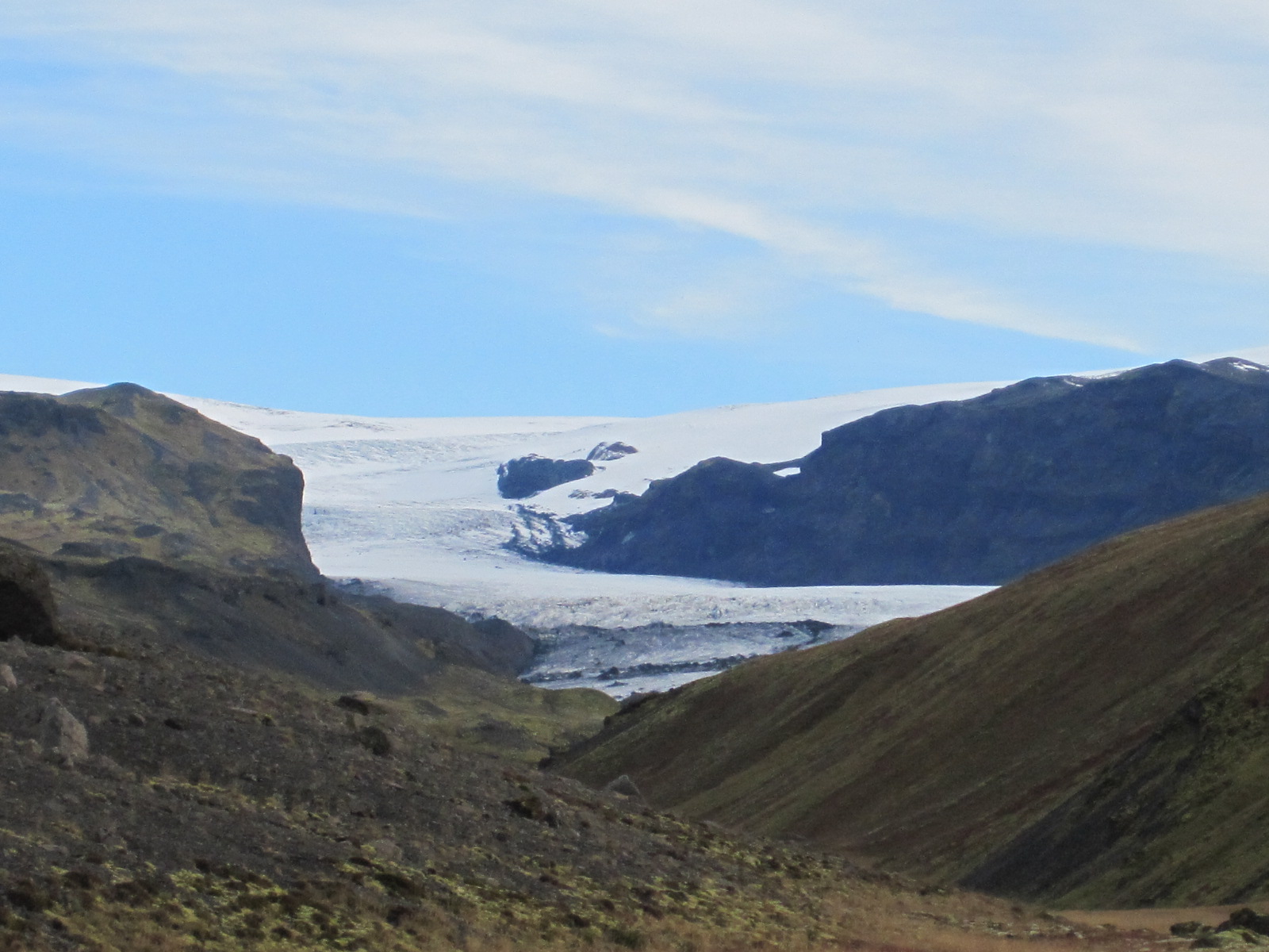 Looking at the map I realised that there was another road, no.221, leading towards the Mýrdalsjökull glacier and while it eventually became too rough I was able to get close enough for a decent photograph. It was then a straight drive back to the outskirts of Reykjavik and up to Akranes, a small town on a peninsular about 30 miles north of the capital.
Between Reykjavik and Akranes is Hvalfjörđur, a fjord under which a four mile long toll tunnel has been built to save a detour of about 40 miles. The fjord did not seem to have a very high scenic value, so I took the tunnel.
Akranes was actually a fairly plain town, with a short promenade and beach, most of the waterfront being taken up by a massive and ugly fish processing factory. This was offset to small extent by some quite attractive traditional house in various  colours and a nice wooden church, but on the whole Arkanes was not a place where one would really want to spend a lot of time. I decided to go back to the hotel in Borgetan and have another look at Reyjavik, where, in the evening, there was an absolutely magnificent sunset which everybody was talking about the next morning.
Hafnarfjörđur, Keflavik and home
Just off the road from Reykjavik to Keflavik is a fishing port called Hafnarfjörđur. In a café somewhere I had read an article about whaling in an English-language newspaper published by an American living in Iceland. Whaling was stopped in the country in 1989, but resumed a few years ago to protests from around the world, including from within Iceland itself. The article I read was anti-whaling, and showed a picture of a partially dismembered whale carcase on the quayside in Hafnarfjörđur.
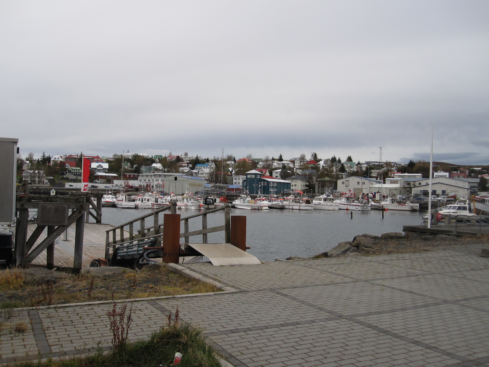 So far I had seen a fair number of towns and villages in Iceland, none of them very attractive, but Hafnarfjörđur was definitely an exception. The main part of the town is on one side of the harbour, with a promenade, and a short drive round to the north side leads to a large open area with traditional white cottages and other old buildings dotted about on it.
On the far side of the harbour is the very large commercial fish landing and processing complex, with a network of roads running through it. I drove around but there was no sign of whaling activity, and I have no doubt that it is kept well out of the sight of the prying eyes of Greenpeace and suchlike. Hafnarfjörđur is also a base for whale watching tours, so they make money out of taking people to enjoy watching the whales and also out of killing them, though presumably not at the same time.
Before taking the car back I had a look at Keflavik, but if I had failed to do so I would not have missed much.
On the plane going home I sat next to a young British couple who had travelled out on the same flight as I did. They were obviously quite well off and travelled a lot, but it was interesting to compare how they had spent their time in Iceland. They had been on a whale watching tour, but were not sure whether they had seen any, They went on a ‘northern lights’ tour (might have seen the aurora), and did a quad bike excursion which he thoroughly enjoyed and she hated. Otherwise it was all great hotel and fine dining.
Icelandic oddities
Names
A bit about the strange system of Icelandic names. After marriage a woman does not take her husband’s name, she continues to use her own. Male offspring have a surname made up of the father’s first name with ‘son’ added to it, and female offspring have a surname consisting of the father’s first name with ‘dottir’ (daughter) added to it. Putting this in English terms, if John Smith marries Mary Jones they continue to be John Smith and Mary Jones. If they have a son named Brian, his name will not be Brian Smith, but Brian Johnson (Brian son of John). If they have a daughter named Emily she will be Emily Johndaughter (Emily daughter of John). Thus all four members of the family have completely different names. Further offspring will have the surnames Johnson or Johndaughter, according to gender. People are generally referred to and listed in the telephone directory by their first names.
This arrangement would appear to be a nightmare for genealogists, but genealogy is actual a popular subject in Iceland, and there is a well established system for dealing with it.
Little People
Many Icelanders seriously believe in the existence of elves, gnomes or other little people, and make provision for them in their everyday lives. It is quite common to see little wooden houses in gardens to provide accommodation for them. In early 2014 it was reported that the planned route of a new main road had been changed because it was believed that such people were living on the original one. Still, we do it in England for newts.
South Korea and Beijing 2013
CLICK ON PICTURES TO ENLARGE
South Korea and Beijing 2013
The only country I had visited in the Far East was Japan, in 2007, and I felt that it was time for another trip to that part of the world. Despite recent adjustments in the exchange rate Japan was still likely to be very expensive, and one of the most attractive alternatives was South Korea. I knew a few people who had been there on business but no one who had been for pleasure, and it did not feature high in the list of popular holiday destinations.
The most favourable route on cost and convenience was from Gatwick via Beijing with Air China, and this was further supported when I discovered that I could get a 72-hour visa-free stopover in Beijing at no extra flight cost. This visa-free arrangement had been recently introduced and even some travel agents did not know about it. It made best sense to make the stopover on the return flight, otherwise I would be jet-lagged for much of the time in Beijing.
The outward flight went smoothly, and I arrived at Seoul Incheon Airport at about mid-day of the day after I left England. As I knew I would be fairly exhausted I had booked a hotel near the airport, and was picked-up by a minibus driven by Smokie Shin, the hotel manager. He was not actually christened Smokie, but acquired the name as a result of his liking for a pop group of that name when he was a student. By the time we reached the hotel, a distance of about two miles, I had decided that everything in Korea was made between them by four companies, namely Samsung, LG, Hyundai/Kia, and Daewoo.
After a few hours sleep I ventured out of the hotel, which was in a modern business area with shops, restaurants and a supermarket close by. The hotel did not have a restaurant and to tide me over until I decided where to eat I tried to get a cup of coffee from a machine in the supermarket. Everything was in Korean, and while I was puzzling over which buttons to press a voice behind me said “Can you help me?” I thought it was highly unlikely, and turned round to see a man with a little girl. He repeated “Can you help me?” and then said “No, no, I mean can I help you?” He showed me how to get the coffee, and this was the first of many offers of help that I was to receive, but also a typical example of the level of communication that I was to experience in Korea.
Eventually I found a cheap restaurant with pictures outside of rice dishes that looked tolerably appetising. No one spoke English but I got what I wanted by pointing at the pictures and the waiter had the sense to offer me a spoon and fork as well as the dreaded chopsticks.
The next morning all the restaurants were closed, and I finished up getting something from the MinMart and having breakfast in my room. By now I had been reminded of another custom that seems to be standard in the Far East, that of removing one’s shoes on entering most rooms and many restaurants to preserve the polished wooden floors. This was a bit of a problem for me, because some of my socks have holes in them, so I had to sort through them to find some intact pairs.
Seoul
At 8.00am I got the free hotel shuttle to the airport and from there a bus into Seoul, which is about 20 miles away. It was Sunday and the journey did not take long, but when we arrived at the City Hall it turned out that it was the day of the Seoul equivalent of the London Marathon, and the place was a complete madhouse. Many of the runners were finishing already, and although some of them looked as if they could run a full marathon others looked as if they would be hard put to to manage 500 yards, and I could only assume that there were classes for various different distances.
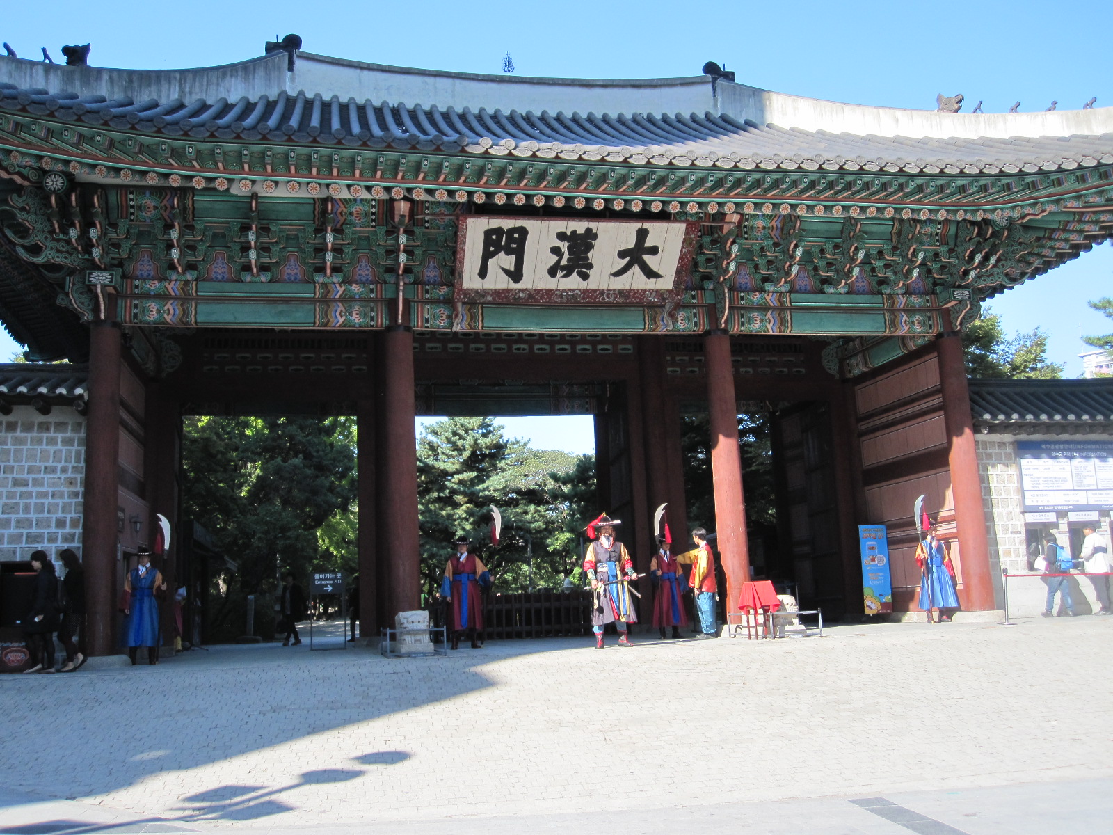 Close to City Hall is Deoksugung Palace, one of five in the city. It consists of a number of ancient and beautiful buildings, apparently all empty, with two more recent neoclassical ones that are used. As I left a ceremony was taking place in front of the main gate with people in traditional costume.
This central area of Seoul is very much a business district and could have been anywhere in the developed world. It was only later that I realised that Seoul is actually the third largest metropolitan area in the world, with almost three times the population of Greater London, and larger than Beijing, Mumbai and Mexico City. From here I walked down to Myeong Dong, a popular shopping district which was thronging with people, and then along a road called Toegyero to Chungmuro and the motorcycle shops, some of which were closed because it was Sunday. A length of the street before the motorcycle shops was lined with pet shops, with dogs and cats in the windows in a manner that is seldom seen in Britain today, and which I found unpleasant, although there was no real sign of maltreatment.
The much-condemned Korean custom of eating dogs has almost died out, and many Koreans are strongly opposed to it. It still happens on a small scale, the meat coming from dogs that are bred for the purpose.
The streets in the area behind the motorcycle shops were shabby and lined with workshops and small businesses, most of which were closed. There was a slight third world atmosphere about the place and I resolved to come back later in the week when there would be more going on.
From Chungmuro I went by subway to Namdaemun Market, one of the two big markets in Seoul. As someone with a mortal fear of public transport in foreign countries I actually found the subway quite easy to use, especially considering its vast size and complexity. It is the world’s most extensive subway by length, with 607 stations (the London Underground has 270) and very modern trains and systems.
The market proved to be disappointing, with little to interest me, so after another walk around the city centre I got the subway to Hongik University. It was not the university that I was aiming for, but an art gallery called TrickEye and its associated Ice Museum. TrickEye was supposed to be an exhibition of Tromp d’Oeil, which have always fascinated me, but in the event the pictures turned out to be rather poorly executed, contrived as a means of family entertainment rather than any sort of art. The Ice Museum had ice sculptures ranging from a full-sized car to the interior of a house, with bathroom including toilet. Too cold to stay there for long.
The Express train back to the airport stopped at Hongik University, and on the platform were two cheerful young students of about 19 who started chatting to me. They said they were from Taiwan and assured me that the next train went to the airport, although I thought the indicator said it only went half way. We all got on, and in due course it turned out that I was right. When we boarded the next train, which was the correct one, they sat with me and started talking again. They informed me that they were ear, nose and throat specialists who had been attending a conference in Seoul. A good example of how difficult it is for westerners to judge the age of oriental people.
On the road
The next morning I checked out of the hotel and collected my car from Avis at the airport terminal. I had ordered a Ford Focus-sized car, but the one that was put in front of me at the roadside was a silver Hyundai Sonata, like a big Mercedes. After a brief car condition check the man from Avis fixed the large and expensive satnav to the windscreen and explained how to use it. It was programmed in English and was immensely complicated, like all modern gadgets. With some difficulty we put into it the name of the town I was going to, Chuncheon, and I launched out into the mad Seoul traffic.
From the rather basic map that I had it seemed to me that the most direct way to Chuncheon was via the motorway (Expressway) skirting Seoul on the northern side, but after a while I realised that the satnav was taking me round to the south of the city. By the time I had gone through three toll booths with my wallet being emptied at a great rate I was convinced that I was going the wrong way, and turned off into a town called Gunpo. The intention was to buy a proper map and find out where I was, but Gunpo was not a good place for doing that. From a quick check on the shops and a supermarket in the main street I concluded that maps were unobtainable and no one spoke English. Back in the car I tried to get a solution from the satnav but only succeeded in messing it up completely.
In desperation I drove on for a while and found some signs with road numbers, but they did not tie up with anything on my small-scale map so I pulled into a service station to see if I could find someone who could reset the satnav. Luckily there was a man there who spoke little English but did understand the satnav, and he managed to put Chuncheon into it again. Full of hope, I set off following the instructions from the American lady whose voice came out of the 8 inch screen on the dashboard. Unfortunately she did not confine her advice to giving directions, but churned out a constant string of mostly irrelevant comments. These included “Speed bumps”, “School zone”, “In 700m the speed limit is 80kph”, “Parking infringement penalty area”, and my favourite “Approaching traffic volume monitoring area”. If there was nothing else she would say “Drive carefully”. This extra information could no doubt have been switched off, but I could not see how.
She took me back to the Expressway and after a long time, distance, and more tolls I was ordered to turn off on to route 46 towards Chuncheon. This was an ordinary main road running through open countryside but lined with buildings for mile after mile. By now I needed something to eat, and stopped at a place with several roadside food stalls which had big pots bubbling away full of strange unidentifiable substances. However, tucked behind some trees was a traditional coffee house with a complex of ancient buildings. Someone directed me into one of them, which involved the shoe taking off procedure, and when I saw the set up and menu I realised that this coffee and cake was not going to come cheap.
Despite that the place was quite busy, but the most worrying thing was the low tables, which are all right for the locals who have been brought up with them, but a nightmare for elderly westerners. The table tops are about 18in above the floor, so you have to kneel, sit cross-legged or stretch your legs out straight. A cushion is provided on the floor, but the real problem is that there is no back rest, and however you sit it becomes agony after a few minutes. Luckily I was placed at a table at the side of the room, where I could wedge myself against the wall with my legs straight out. As expected, the coffee and cheesecake were good, but the price undoubtedly included a substantial component for the ambiance.
Some distance before Chuncheon the road became route 45, still built up and slow going, with a lot of traffic lights. The approach to the town was scruffy and the first hotel I came across, called Hotel Petite, had screens across the car park entrance, usually an indication that it catered for clients who wished to be discrete about their presence. The next two were similar and rather run down, and another sign pointed to Hotel Zipper, which did not sound over-promising, though I am sure it would have been to some people. The satnav took me to the City Hall, where I thought there might be some tourist information, but it was closed for the day, and dusk was rapidly drawing in. Nearby was one the many small manned police stations that are commonly found on street corners in that part of the world..
I went in and told the two officers that I was looking for a hotel in Chuncheon, Their English was practically non-existent and after about five minutes of getting nowhere one of them picked up the phone and held a short conversation with someone in Korean. He then passed the phone to me, and on the other end was a lady who spoke quite good English. She said they told her I wanted a hotel in Chungchang, which was a very long way away. This was a disappointment to me, because I thought I pronounced Chuncheon really well, but apparently that was not the case. Anyway, she explained to the officers what I wanted and they told her they would take me to a hotel nearby. A few minutes later I followed them to the excellent Sejong Hotel with their blue lights flashing, though no siren.
Once sorted I walked down into the town and was amazed at the size of the shopping centre and adjoining market. It was all quite smart and tidy, and it seems that I had approached the town from an unfavourable direction.
The east coast
 One of the few attractions in the Chuncheon area is the Soyang Dam, which I managed to find the next morning with the all-Korean map that I had picked up in the hotel. The associated reservoir made by any standards a beautiful scene, enhanced by the backdrop of tree-covered hills in autumn colours. At last I had broken away from the fast and furious traffic of the Seoul area on to relatively quiet rural roads passing through good countryside, though still with ribbon building at times. Around a place called Inje the road went through tunnel after tunnel, some of them one or two miles long, before a long, fast stretch to Sokcho, a coastal resort. As I approached the coast there was noticeable military activity in the form of low-flying jets.
Although it is known to us as the Sea of Japan, the Koreans call the ocean here the East Sea, as they are unwilling to acknowledge any claim that the Japanese might have to it. Sokcho seemed to be a pleasant small town, with a wide sandy beach and typical out-of-season seaside resort atmosphere. From there I drove down the coast, stopping to look at a couple of other places on the way to Jeongdongjin, where I planned to stay for the night, A few miles before Jeongdongjin is a length of coast known as Unification Park, which was the site of an attempted landing by a North Korean submarine in 1996. The shore line here is protected with fences and watchtowers manned by soldiers, with the actual submarine set up on dry land as a visitor attraction. On the same site is a former American warship that served in the Korean War and later the South Korean navy before being hauled out on to the same said dry land and opened to the public. I resolved to look at these the following day.
Jeongdongjin
 A really extraordinary place, a contender for the title of Tackiest Seaside Resort in the World. On entering the town from the north the scene is dominated by what appears to be a full-sized cruise liner precariously balanced high on a cliff top, as if deposited there by a giant tsunami. In fact, it has never been any closer to the water than it is now, and was purpose built on site as a hotel and conference centre called the Sun Cruise Resort. On a promontory below at beach level is another odd construction in the form of a schooner, which is apparently a restaurant, and most of the hotels in the town are characterized by wedding cake architecture straight out of a Disney production.
My guide book suggested that it might be possible to stay at the Sun Cruise Resort, but it did not cater for individual travellers, and I had to try my luck with the other weird places. It took me a while to find one that was open, and when I booked in I was given a bag containing a toothbrush, toothpaste and a razor.
It appeared that the number of restaurants in Jeongdongjin exceeded the number of visitors currently in the town, and most of them had tanks in front of the windows containing large plump fish from which one was presumably expected to select one’s dinner. Like most meat or fish-eating Britons I am a coward and prefer to be less involved in the demise of the creatures that I eat, so I sought and found a place where the food was more discretely prepared, albeit not so fresh.
The next morning I drove up to Unification Park and was the first visitor of the day to the submarine and warship, which was ideal because  submarines cannot accommodate many people at one time. The story of the submarine is pretty grim. It arrived with 26 North Korean spies, three of whom carried out a surveillance mission on a nearby airbase. When they returned to the vessel it got caught on the rocks and had to be abandoned. To protect classified information eleven non-military crew members were killed by the others, who then attempted to reach North Korea overland. Thirteen were killed by South Korean forces, one was captured and one was unaccounted for. In the words of the South Koreans on the information board “The incident was a great shock to us and incurred our wrath”.
Before entering the submarine I took a hard hat from the rack at the entrance, a wise decision because within moments I had hit my head. The vessel had a definite World War II air about it, and it was hard to believe that it had been in service as recently as 1996. The crew’s quarters were below and not accessible, but how 26 people could exist in there I could not imagine. The moral of all this is that if you want to join a navy don’t go for the North Korean one. By comparison the battleship was the height of luxury, although I don’t suppose the people who served on it thought so.
Mountains, tunnels and everything Korean
Time to aim in the direction of Seoul, which I wanted to reach in the afternoon of the next day. Taking the coast road northwards I turned off on to route 6, through the Odaesan National Park, another region of beautiful tree-covered mountains, highest of which is 1563m (approx. 5000ft.). More tunnels and then a minor road to a run down small town called Anheung, where I braved a scruffy restaurant (there weren’t any smart ones) for lunch. It was as cheap as it looked, but I did not suffer any after effects. On to Wonju and then the Expressway to Yongin, my night stop. The  Yongin Motel, shown on the satnav, proved to be inaccessible, but then I saw Motel Cinema, which looked quite decent. There was no sign of a cinema, but maybe the motel was built on the site of one.
Apart from the name of the hotel absolutely everything I could see in Yongin was in Korean and I seemed to be the only westerner in town. At the reception I picked up a free map which had no English on it, and it took me some time to work out which way up to hold it. I went into a burger bar for a snack, and as I was sorting out my money the young lady behind the counter reached forward, touched the hairs on the back of my hand and giggled. I said “Do you think that’s funny?”, and she just giggled again. Oriental men do not have hairy hands, so I suppose if I am hard up I can always go to Yongin and earn a living in a circus freak show.
The reason for staying in Yongin was that I wanted to visit the Samsung Transportation Museum the next day. Samsung is a vast corporation and the Samsung Foundation has invested money in cultural ventures including the acclaimed Leeum Samsung Art Museum in Seoul. The Transportation Museum is in a spectacular modern building adjacent to a vast theme park called Everland, also connected with Samsung, and when I arrived the place was full of school children, quite literally hundreds of them. Nevertheless I managed to have a good look round and would rate the museum as no more than average for the quality of its exhibits.
Because I was going on an organised tour the following day I had booked two nights at the Namsan Hill Hotel in the middle of Seoul, and it proved to be very difficult to find, defeating my satnav. In the end a kind man in a car led me there using his satnav, and even he found it difficult. It was not too far from Chungmuro with the motorcycle shops, which I wanted to see during working hours. The streets behind the main road were a hive of activity, mainly motorcycle workshops or printers, all with their wares spilling out into the road. Piles of paper were stacked up everywhere (presumably the weather forecast was good) and  the printers were standing by their machines waiting for orders. The businesses were serviced by a constant stream of vehicles, mostly motorcycle-based three-wheeled pick-ups, things like tuk-tuks, or tiny vans. There were many small motorcycles with big steel frames on the back, loaded with goods towering above the rider.
The De-militarized Zone
For a long period up to the end of World War II Korea was occupied by the Japanese. In 1945 the victorious powers agreed to divide the country into Russian-occupied Communist North and American-occupied capitalist South. The division was around the 38th parallel, with Pyongyang as capital of the North and Seoul capital of the South. In 1950 war broke out between the two sides (each blaming the other for starting it) with support eventually coming from many other nations on both sides of the political divide. In 1953 an armistice was signed by various parties including the UN, but not South Korea, so technically the two Koreas are still at war today. At the end of it all the whole country lay in ruins, but South Korea has recovered to become one of the world’s ten strongest economies. North Korea, meanwhile, is one of the world’s most unstable states, and certainly the most unstable to have nuclear capability, with warheads permanently lined up in the direction of Seoul.
The border between the two countries is a 4km wide de-militarized zone (DMZ) still under UN control, and in the middle of it is the Joint Security Area (JSA) in which meetings between representatives of the North and South are periodically held. Citizens of certain countries, including the USA and most of Europe are permitted to visit the JSA on organised tours under strict UN supervision.
Before leaving home I booked via the internet a tour with a company called DMZ Tours for the day before I left Korea. The instructions mentioned a dress code to avoid offending the North Koreans, basically ‘smart casual’ – jeans ok but no sleeveless shirts, shorts, flip-flops or other scanty attire. At 9.00am I was picked up from my hotel by a young man of about 20 named Choi, who took me on a hair-raising drive through the alleys and streets of Seoul to the Lotte Hotel, which was their headquarters. At least it made up for not going on the roller-coasters at Everland.
The coach took about an hour from Seoul to the Camp Bonifas American army base at the entrance to the DMZ. Most of the passengers were European or American, and our guide was a lady of Korean origin with American citizenship, as South Koreans are not allowed in the JSA. She spoke English extremely fast and was sometimes difficult to understand as she outlined what we should and should not do in the JSA. Several times she told us that we would be well looked after “If something goes wrong”, but did not specify what that might be. I pointed out that all the soldiers around the bus were wearing hard hats and asked why we were not being given them. She laughed and said “The soldiers will take care of you if anything goes wrong”. Also mentioned was that we might not be allowed into the JSA because six South Koreans who had been taken prisoner in the north were being handed over during the day.
On entering the DMZ our passports were checked by a Korean soldier who stayed on the coach, and we were driven to a building and shown a film of the appalling life that people lead in North Korea. A lady defector from the North, a former naval officer, then answered questions about the conditions there. Back on the bus, depressed and full of hatred for the enemy, we were taken to a view point where we could see some distance into enemy territory, including a mock housing estate that was built to create the impression that everything was going well on the other side of the border.
On to the restaurant for lunch, which I struggled through with chopsticks, although all the people around me seemed to use them with great skill. We were then put on an army bus with a soldier driving, our passports were checked again and before reaching the JSA building we had to sign a United Nations Command disclaimer, the first sentence of which read
“The visit to the Joint Security Area at Panmunjom will entail entrance into a hostile area and the possibility of injury or death as a direct result of enemy action”.
Another paragraph read “Visitors will not point, make gestures, or expressions like scoffing, abnormal action which could be used by the North Korean side as propaganda material against the United Nations Command”.
We were now at the bit most of us had come for, and to my relief we were allowed in and taken to a room where the joint North/South meetings are held.
 In the room was a table with the exact border between North and South running through the centre of it, so that the parties involved are on their own territories. Two South Korean/UN soldiers were in the room, but, to my disappointment, no North Koreans (sometimes there are). However, the really important thing was that we were allowed to walk round the table into North Korea, thereby acquiring what the Rough Guide described as “some serious travel kudos”. Surprisingly, photographs were permitted at this point.
We were then ordered to stand neatly in two lines outside the building, facing the North Korean headquarters about 200 yards away. More photographs, and the lone enemy soldier on the steps of the building opposite raised his binoculars and looked at us.
Back to the bus and back to earth, in the form of the gift shop, with everything from postcards to T-shirts to chocolates. As we drove away from Camp Bonifas we could see on the north side of the border the world’s largest flag on the world’s tallest flag pole, a product of an ongoing one-upmanship contest between the two sides. Our guide said the flag weighs 600lb and is too heavy to blow in the wind. She also said we were on The Most Dangerous Road in the World, although I doubted whether it was more dangerous than the streets of Seoul with Choi driving on them.
Crash!
The next morning I had to take the car back and get my flight to Beijing. Despite the problems I had had with the satnav I decided to entrust it with task of guiding me to the airport from the centre of the third largest city in the world, a distance of about 30 miles. It seemed all right to start with, but after about an hour of wide streets, narrow streets, underpasses and U-turns I realised that I just wasn’t getting there, and simply turned north on a busy main street on the assumption that it would take me to the east-west expressway.
Eventually it did, and after a while I came to the inevitable toll-booth. Just as I pulled up to the window to pay there was a jolt and loud crash from behind. For a moment I couldn’t believe it, and I don’t think the driver of the other car could either. We both got out and looked at one another and the cars. As far as I could see my car was not damaged, but there was some damage to his, another Hyundai. He indicated that we should go across to a parking area on the right hand side, which meant crossing about five lanes of traffic, but somehow we did it. He had very little English, but I got the feeling that he was a nice bloke and seemed to be admitting that it was his fault. He gave me his business card which said in English on one side that he was a research engineer with a big company. My phone would not work, but I asked him to ring the car rental company, which he did, and handed me the phone so that I could speak to them. I told them I would bring the car in but might be late. The other man also spoke to them.
When I got to the airport the man from Avis looked at the car, took the other man’s business card and said it was ok. The amazing thing was that when I got home a few days later there was an email from the other driver saying how sorry he was. It was the first accident he had ever had, and he was concerned about whether I had suffered any injury. He told me not to worry about the damage to my car because it was covered by his insurance. A refreshing change from the dog-eat-dog attitude that has become the norm in England.
Beijing
As mentioned previously, I was planning to stay in Beijing on the recently introduced 72-hour visa free basis, but I was not sure about the actual procedure. My flight times would give me 71 hours there, and in the event it was very easy. Immigration was quick and my passport was stamped in English and Chinese with the permitted period of stay written in. Travel was allowed not just within the city of Beijing, but the whole province, which includes several sections of the Great Wall.
 Although I spent a considerable amount of time studying the area before the trip I still had very little idea what it would be like. Most of the planning was done with the Lonely Planet guide and associated map. It was difficult to decide which part of the city to stay in, but I eventually settled on Nanluoguxiang, one of the remaining hutongs or old alleys that has been preserved and made into a popular tourist area. On Booking.com I found a Super 8 hotel in Nanluoguxiang at £27 per night, which seemed improbably cheap. Super 8 is at the bottom of the Wyndham Hotels range and the second cheapest motel chain in the USA, but I have stayed in them many times there. Super 8 is actually a franchise and it seemed that this hotel had only just joined the brand. There were no reviews and apparently it did not take western credit cards, but I was so intrigued that I decided to go for it and booked three nights in advance.
The Airport Express and subway were also amazingly cheap and easy to use. At all points of entry to the subway system bags were X-rayed. One thing that I could not understand was that the stations seemed to be almost empty most of the time, yet the trains were absolutely packed. It was a considerable problem getting on with my wheelie case and fortunate that I only had to go for four stops with one change.
The hotel was about 800 yards from Nanluoguxiang subway, and the lane itself was massively crowded at about 5pm on Saturday, making it very hard work to get through with my luggage. Ancient buildings on both sides had been converted into cafés, fast food outlets, gift shops, a self-service bank and backpacker accommodation.
Chinese addresses are more logical than those in Korea, and the hotel was more or less where I expected it to be, though nowhere near where it was shown on the map on the Booking.com website or that of the hotel itself. On the internet I had read stories of taxi drivers who had been completely unable to find small hotels in Beijing, and before leaving home I spent a considerable amount of time with Google maps and other information to make sure where the hotel was located.
When I entered the reception there were three people behind the counter, a lady and two men who looked like gangsters. None of them spoke any English at all, but we managed a small amount of communication via a laptop and Google Translate. They searched through my passport looking for a visa, and eventually found the stamp showing the dates I was permitted to stay in Beijing, and after a brief discussion decided that it was sufficient. The room was basic but quite large and clean. Good value for £27 per night, which I paid in cash because, as expected, they did not take western credit cards.
By the time I went out for a look around and to get something to eat it was dark but the whole area was a hive of activity and I felt completely safe even in the narrow hutongs behind the main streets.
The Great Wall
The plan was to spend my first complete day in Beijing on a trip to the Great Wall, and the second day on an electric scooter tour of the city in the morning followed by a further exploration on foot.
Several sections of the Great Wall are within one or two hours travelling time from Beijing, the most popular ones being at Bädálǐng and Mùtiányú. The latter is said to be better and less crowded than Badaling, and I had an ulterior motive in Mutianyu, because en route I was hoping to visit a classic car museum at a town called Huairou.
The most usual way of getting to Mutianyu is by taking a bus from Dongzhimen Transport Hub in Beijing to Huairou and then a minibus to the Great Wall, but I was aware from various reports that any attempt to reach the wall by public transport was fraught with problems from hustlers and con men who try to relieve tourists of large sums of money on the way.
Dongzhimen Subway station was four stops from Nanluoguxiang, and the Transport Hub was nearby. The 916 fast bus was easy to find, with a small queue which I joined. As soon as I got on the bus I discovered that it was necessary to have exact money to put into a machine for the fare, which I did not have, so I had to fight my way off to sort out some change. A man with a blue jacket who appeared to be from the bus company shouted at me. While I was sorting through my bag for the money two girls came up to me saying that they were from Taiwan and asked if I would share a minibus with them at Huairou. I said I would because I knew it would be a problem on my own. Before I could find the money the man with the blue jacket grabbed me by the arm, bundled me back onto the bus, and sorted out change for the fare once I was sitting down.
It then became apparent that the two girls were actually part of a group of five girls and two boys who worked for a sports marketing company in Taiwan, on a sort of company weekend away. They said the man with blue jacket was a minibus driver who wanted to take them from Huairou to the Wall, but they did not know whether he could be trusted. My instinct was definitely that he couldn’t, but as they could speak the language I just decided to see what would happen when we got to Huairou.
According to what I had read there were several bus stops in Huairou where minibuses were waiting to take people to the Wall, and sure enough at one such place Blue Jacket indicated that we should get off, which we did. My Taiwanese friends argued with him for a while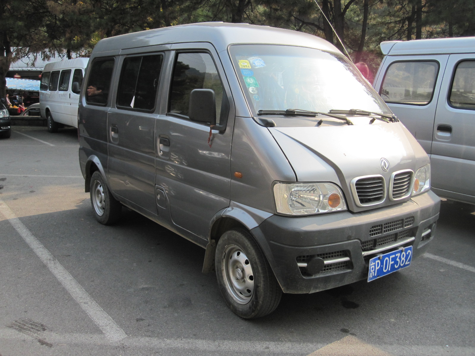 and then said they had agreed a price, including me, which seemed ok. Blue Jacket tried to separate me from them but I insisted that I was with them. The minibus turned out to absolutely tiny, based on a little Chinese van like a Suzuki Carry or Bedford Rascal. I sat in the front next to Blue Jacket and the other seven were all crammed into the back, which they seemed to enjoy. The poor little van, with an engine of 1.0 or 1.2 litres, really struggled but eventually we reached Mitianyu. Blue Jacket forced his way ruthlessly through the traffic, shouting all the time at everyone and everything until we reached the access point for the Wall, which was high on the hill above.
You can either walk up a long steep path to the Wall, or go up on a chair lift. My friends decided that we would go on the chair lift and a couple of them went off to get tickets. Blue Jacket was clearly not pleased about that, because they were cutting out the middle man, and he made another attempt to get me on my own but failed to do so, as I made it clear that I was staying with the others. It was difficult to understand what was going on, but I gathered that we were supposed to be at the bottom of the chair lift by 4.00pm for Blue Jacket to take us back to Mitianyu.
The chair lift was as scary as chair lifts always are. I sat with Ariel, the leader of the Taiwan group, and talked intensively to avoid showing how terrified I was. At the top the view from the Wall was superb, but somewhat limited by the grey haze that is said to be caused by pollution from Beijing, about 30 miles away.
 The Wall stretched away into the distance, following the contours of the hills to a point several hundred feet higher than our position. It was an awe-inspiring sight and I found it impossible to imagine how such a substantial structure could be built over a distance of more than 500 miles. Started in around 200BC it was built, rebuilt and reinforced over two millennia with two or three million people working on it. Most of the existing sections were built during the Ming dynasty (1368 – 1644) and those in the Beijing area, including this one, were restored quite recently.
It was not clear how far the others intended to walk, but I knew I couldn’t walk as far as we could see. The path was mostly quite wide, 15 to 20 feet, with walls either side and battlements, but it was not easy walking, with uneven stone setts and long flights of steps up and down most of the way. The steps were of irregular height and tread width, becoming steeper and narrower every few hundred yards near the watch towers.
It was agreed that if I could not keep up the others would go on and I would just wait for them to come back. In the event they stopped every couple of minutes to take photographs, mostly of each other, and we did not really walk very far before sitting down to eat the food that we had bought from stalls near the chair lift. I took some photos of the group and of the iconic views through the battlements or lookouts in the watchtowers, which were like the classical pictures of Chinese landscapes with foliage in the foreground. The weather was perfect.
I suppose we walked about two-thirds of the way to the highest point that we had been able to see from the chairlift, and that was much more than I had expected to be able to do. On the way back some of my friends had to stop for a rest and asked me if I had been in the military!
 When we got to the top station of the chair lift I realised that there was an alternative way down in the form of one-person sledges on a stainless steel slide like a bob-sleigh run, and then found that we had tickets for it. As we waited in the queue we could see that the black plastic sledges had a lever at the front that was pushed forward to go faster and pulled back to brake.
As my turn approached I noticed that a lady two places in front of me was all ready to go when the man in charge said something to her and after a few words she got off the sledge looking absolutely furious. A voice behind me said “If they ask your age don’t tell them you are over 70, because no one over 70 is allowed to use the slide.” They didn’t ask my age (I don’t think they could speak English) but I have to say that it was a very long way down and by the time we got to the bottom the muscles in my lower back were at breaking point.
At the time and place agreed with Blue Jacket a Transit minibus came along driven by a much pleasanter young man and took us all the way to Beijing rather than just Mitianyu, so the transport was actually quite a good deal in the end. To avoid the traffic on the motorway he took us on country roads most of the way and it was interesting to see that the built-up area of Beijing was smaller than I would have expected, much smaller than Seoul. In the suburbs were vast blocks of flats similar to those in Russia and Eastern Europe. It had been a good day, although the car museum will have to wait for a future visit if I live long enough.
More Beijing
In the course of my research into the trip I discovered on the internet a company running half or whole day electric scooter tours of the city. The business was run by a Canadian named Nathan Siy and I booked a half day tour for the morning of my second full day in the city.
By now I was aware that the silent electric scooters are very widely used in Beijing, having almost been mowed down by them several times when I was walking through the hutongs. They are classed as bicycles, unregistered, and as far as I could see can be ridden by anybody, although they are considerably more powerful than the electric bicycles sold in Britain. Normal motorcycles are subjected to restrictions in the city and are seldom seen within the fourth ring road,
The appointed meeting place was at Exit A of Ciqikou subway station and I got there a few minutes early. Some people were standing around but it was not possible to tell who was waiting for the tour and as I was the only westerner it was unrealistic to ask anybody. In due course a tall young Chinese chap turned up on an electric scooter, introduced himself as Herbert and said there would be just the two of us. So it was to be a personal guided tour.
Herbert went off to get another scooter and came back with one that fell over as soon as he put it on its stand, something that, by the look of it, had happened a good few times before. It was time for the short training session, so Herbert showed me the operating instructions for the bike in English on his smart phone and sent me off to ride around the posts on the paved area adjacent to the station.
Currently I have three motorcycles, ranging from a 6bhp monkey bike to a 98bhp Honda Hornet, so I was not expecting to have much difficulty with the electric scooter, although I don’t think I had ever ridden any sort of scooter before. The only slightly odd feature of it was that if the twist grip “throttle” was kept in one position for more than three seconds it would maintain that power level until either of the brakes was applied, a bit like a cruise control. Anyway, Herbert appeared to be satisfied with my riding ability, so we set off into the traffic.
Most of the main streets in central Beijing are very wide with marked lanes at the side for bicycles and other low-powered vehicles. There is often a degree of physical separation in the form of lightweight marker posts. We started on one such road and shortly turned off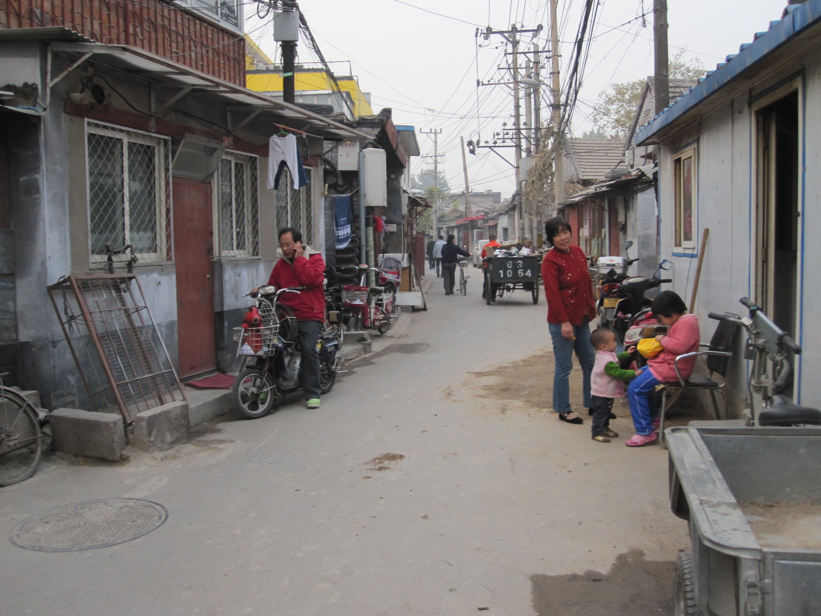 into an area of hutongs in which people were living and working in the old buildings, as they always have done. It was all a bit of a mess, but that is what tourists want to see, rather than the sanitized new developments that the authorities seem to think they ought to see. The people living in such areas are undoubtedly poor compared with many of those working in the huge office blocks a stone’s throw away, but it was hard to tell whether there was real poverty.
Eventually we emerged from the hutongs into a modern pedestrianized shopping area and rode for some distance across the paving. As Herbert parked the bikes he chatted to two policemen, so I assumed that we were not guilty of any traffic violations. We walked through to Qianmen Dajie, a wide pedestrianized street lined with 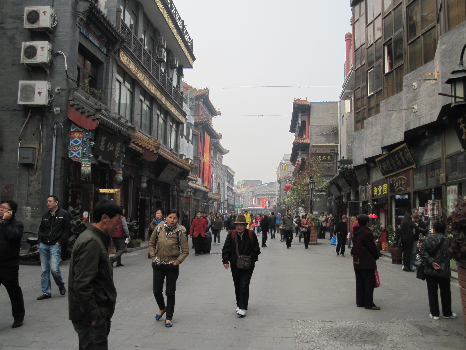 modern buildings in the style of old Peking. I asked Herbert whether he preferred them to the original ones, and he said he did.
From here we worked our way northwards, stopping frequently for Herbert to explain the sights as we came to them. His English was quite good and he was certainly passionate about Beijing, which he referred to proudly as “my city“. His knowledge of the history of the area seemed to be excellent and he was always able to answer my questions. After each stop he would shout “Let’s go”, jump on his scooter and press on quite hard to the next attraction. A lot of concentration was needed at times when we crossed big junctions with heavy traffic in all directions, but I did not find it really difficult.
We stopped to look at the entrance to the Forbidden City, but could not go in because it was closed on Mondays. Next on the agenda 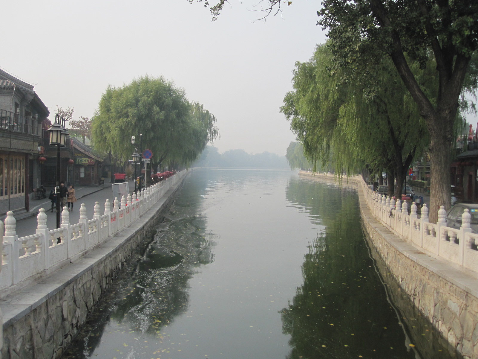 were the beautiful Houhai Lakes, followed by the ancient Bell and Drum Towers which were used to mark the time of day. It was then a fast ride back to Ciqikou via Tiananmen Square, taking in some more hutongs, which I really enjoyed. We rode along one side of Tiananmen Square (said to be the world’s largest public square) but were not
 allowed to stop and eventually arrived at Ciqikou at 2.00pm, 4½ hours after we left.
To my mind this was a good way to see the city in a short time, although it would not be suitable for anyone who was not used to riding bicycles or motorcycles in heavy traffic.
After saying goodbye to Herbert and getting something to eat I set off on foot to Tiananmen Square via some of the hutongs that we had ridden through. On one side of the square is the Great Hall of the People, where a conference of some sort had just finished and the red carpets were being rolled up and taken away. In the square itself is the Chairman Mao Memorial Hall which had enormous illuminated signs placed right across the front of it, presumable intended to inspire the populace in some way.
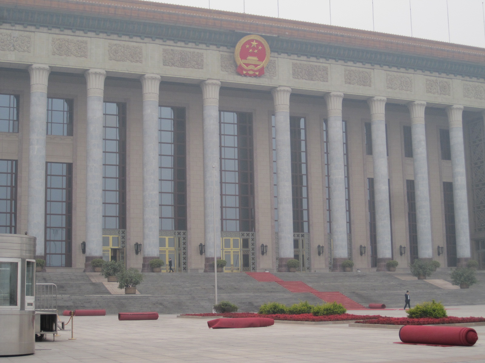 For some time I had been looking for a new backpack, and I noticed that Herbert had a very smart one with Swiss army style badges on it. Just off Tiananmen Square was a shop selling luggage, so I wandered in for a look round, and sure enough there was a backpack just like Herbert’s. When I examined it the shopkeeper quoted a price which I thought was too high, but as soon as I turned away the price started to tumble and came down to the equivalent of about £20, which is probably less than half of what it would have been in England. It appeared to be a genuine Wenger one, which would no doubt be made in China anyway, so I bought it. We put my existing backpack inside it, complete with contents, and I continued on my way. This is to be the first stage of my new Young Tour Guide image, even though I am not a tour guide.
On the north side of Tiananmen Square is the Gate of Heavenly Peace with a huge portrait of Mao. It was amusing to see that each of the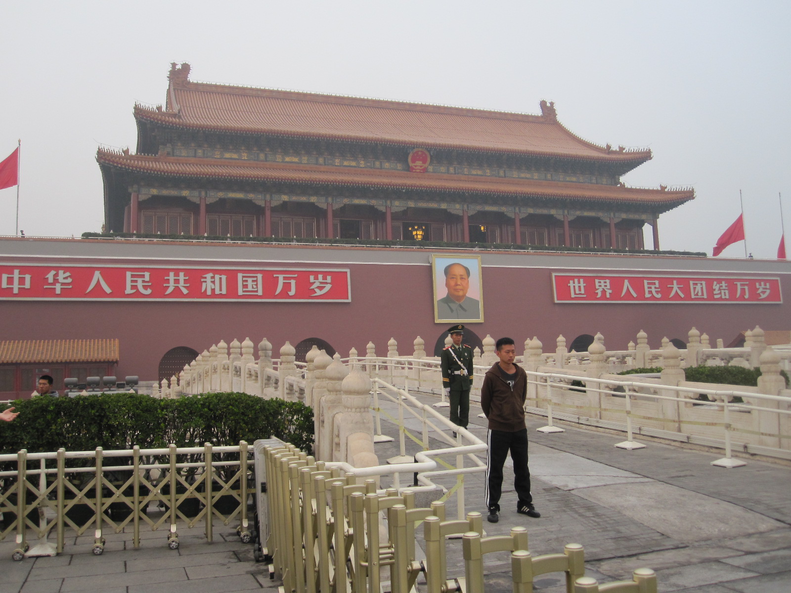 three immaculate soldiers guarding the area in front of the building had a casually-dressed kick-boxer type in front of him, to keep the crowd at bay.
An area of paving was taped off in a rather odd way with a lot of people looking at it, and it was only two days 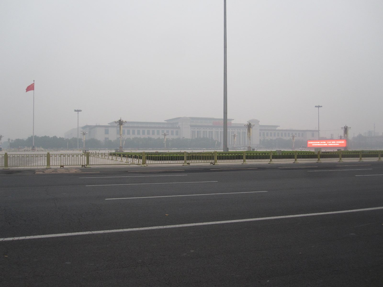 later, when I was back at home, that I read about an incident that happened very close to the time when Herbert and I had ridden down the other side of the square. A car had been driven into the crowd and five people were killed, apparently as an act of terrorism. Unlike the reaction in England, where the area would have been closed off for weeks or months, the authorities had made a point of returning it to almost complete normality with two or three hours.
By the time I reached Nanluoguxiang it was dark and I had walked about five miles through the lanes, streets and squares of Beijing. The next morning it was back to the airport and back home, but I had enjoyed my stay in the city so much that I resolved to return for another look next year.
Thoughts about Korea and Beijing
In both countries, as in Japan, you are never far from a free public toilet. In the 800 yard length of Nanluoguxiang there were three, and even I managed to get through without stopping at all of them. One town that I did not get to in Korea was Suwon, where the mayor dedicated his life to improving the public facilities and finished up living in a house shaped like a lavatory and turned the whole place into a toilet-based theme park.
In Korea I did not see a single book shop or magazine kiosk apart from two small ones at Seoul airport, and I came to the conclusion that the people don’t read anything unless it is on a screen. Beijing was different, with lots of magazines and some book shops around.
Before going I had been told that both destinations were expensive, but I did not find that to be the case. If you stay in the best hotels and eat in the best restaurants it will be expensive anywhere, but overall I thought prices in Korea were about 25% lower than at home. Beijing is more expensive than Korea, but some things, like public transport, are ridiculously cheap, as was the Super 8 hotel.
People were generally friendly and helpful, and although some people had said Koreans were hard-natured I did not think so. They are very westernized and perhaps less entrenched in their culture than people in some other countries. The only person on the whole trip that I did not like was Blue Jacket, and I think the feeling there was mutual.
Not being able to speak or understand the language does not bother me at all, and I always muddle through somehow, but in places like Chuncheon, Yongin and Anheung very few people spoke English and the ones who thought they did were often hard to understand. Sometimes I got the impression that people were desperately keen to help when they found themselves faced with a foreigner and felt embarrassed that they were unable to do so.