Cyprus 2019
CLICK ON PICTURES TO ENLARGE
CYPRUS 2019
 Why Cyprus? Well, I was looking for somewhere to go in November that would be warm, not too far, be politically interesting and, of course, have some classic cars. In general I have never been very attracted by the Mediterranean, but this time Cyprus seemed to fill the bill.
Situated between Turkey and Greece, the population has long been made up mainly of people from those countries and for many decades up to 1878 the island was part of the Ottoman empire. In 1878 Turkey and Britain signed an agreement whereby Turkey would retain sovereignty but ceded the administration to Britain, who wanted a military presence in the area. In due course Britain took complete control until the 1950s, when the British came under attack from EOKA, a Greek nationalist group. This was followed by serious friction between the Greek and Turkish communities and in 1960 the independent Republic of Cyprus was created, with Britain retaining a few small areas for military purposes.
Political instability continued and in 1964 the UN sent a peacekeeping force led by a British general who drew a line with a green pen marking the division between the Greek and Turkish occupied areas of Nicosia which eventually spread across the whole country and became known as the ‘Green Line’.
The unrest continued with some American involvement until in 1974 Turkish forces invaded from the north and the Greek and Turkish populations became ever more divided. The UN has been in the area ever since, and a political settlement still seems to be a long way away. The Greek occupied area south of the Green Line is internationally recognised as the Republic of Cyprus, is a member of the EU and uses the euro as its currency. The Turkish area north of the line calls itself the Turkish Republic of North Cyprus and is only recognised as an independent state by Turkey. Its currency is the Turkish Lira. .Since 2003 it has been possible to go through the green line in both directions and many people do.
This is a very sketchy description of a complicated situation and more detailed accounts can be found in the Lonely Planet Guide to Cyprus and the Bradt Guide to North Cyprus.
I remember the partition of Cyprus very well. In England at the time I had a girl friend named Dinah whose parents had died and left her a house. She had enjoyed several holidays in Cyprus, and sold the house in England with a view to buying one in Cyprus. She asked my advice and I told her it was risky, but she never took my advice anyway. Her pen was practically paused in mid-air over the contract when the Turks invaded, and in a rare flash of common sense she changed her mind and decided not to sign away her inheritance.
Language
As might be expected, Greek is the main language south of the Green Line, and Turkish is generally used in the north, while English is widely spoken everywhere, although I did have some difficulty in the north (see later). When translated into Latin (English) characters many places have 2 or 3 names. For example the capital is known as Nicosia in English, Lefcosia in Greek and Lefcoșa in Turkish. If you drive over the mountains from Paphos to Nicosia most if not all of the road signs only refer to it as Lefcosia, so it is important to know these differences. Place names on road signs and maps will also be in Greek characters in the south and have some Turkish characters in the north, so the situation is quite complicated. It can be difficult to put place names into a British satnav.
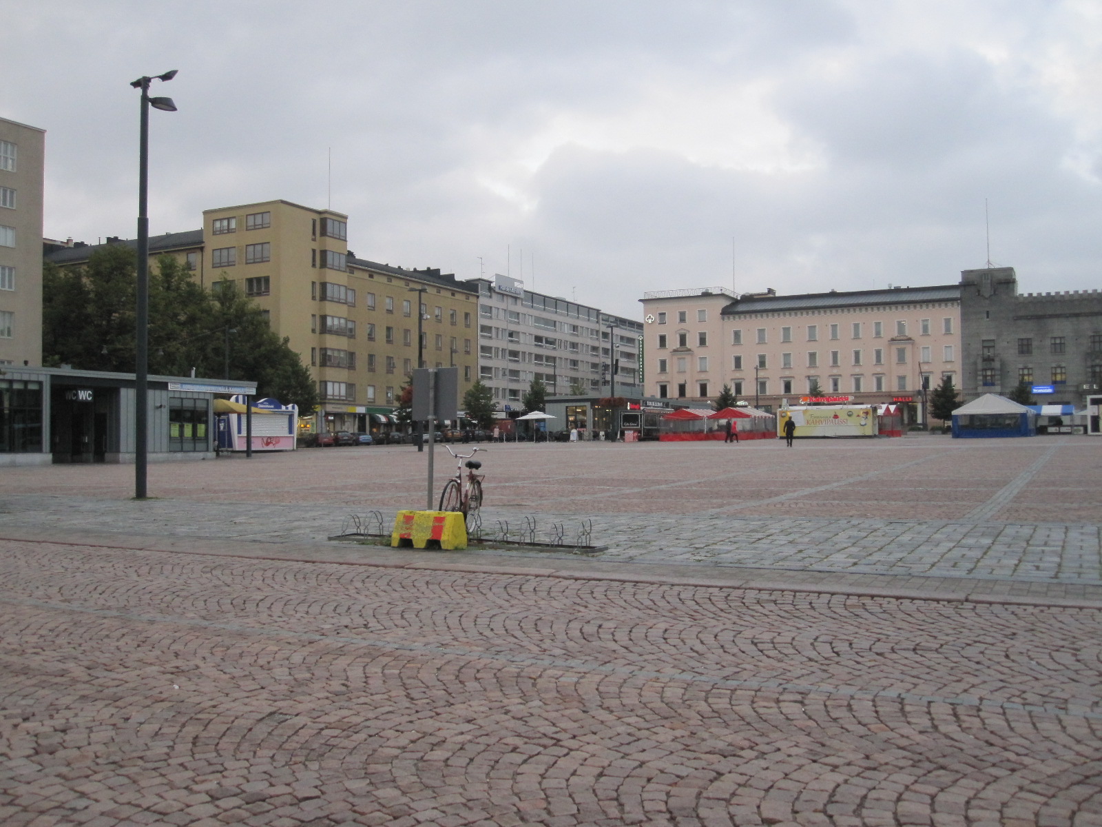
Larnaca (Larnaka, ΛΑΡΝΑΚΑ)
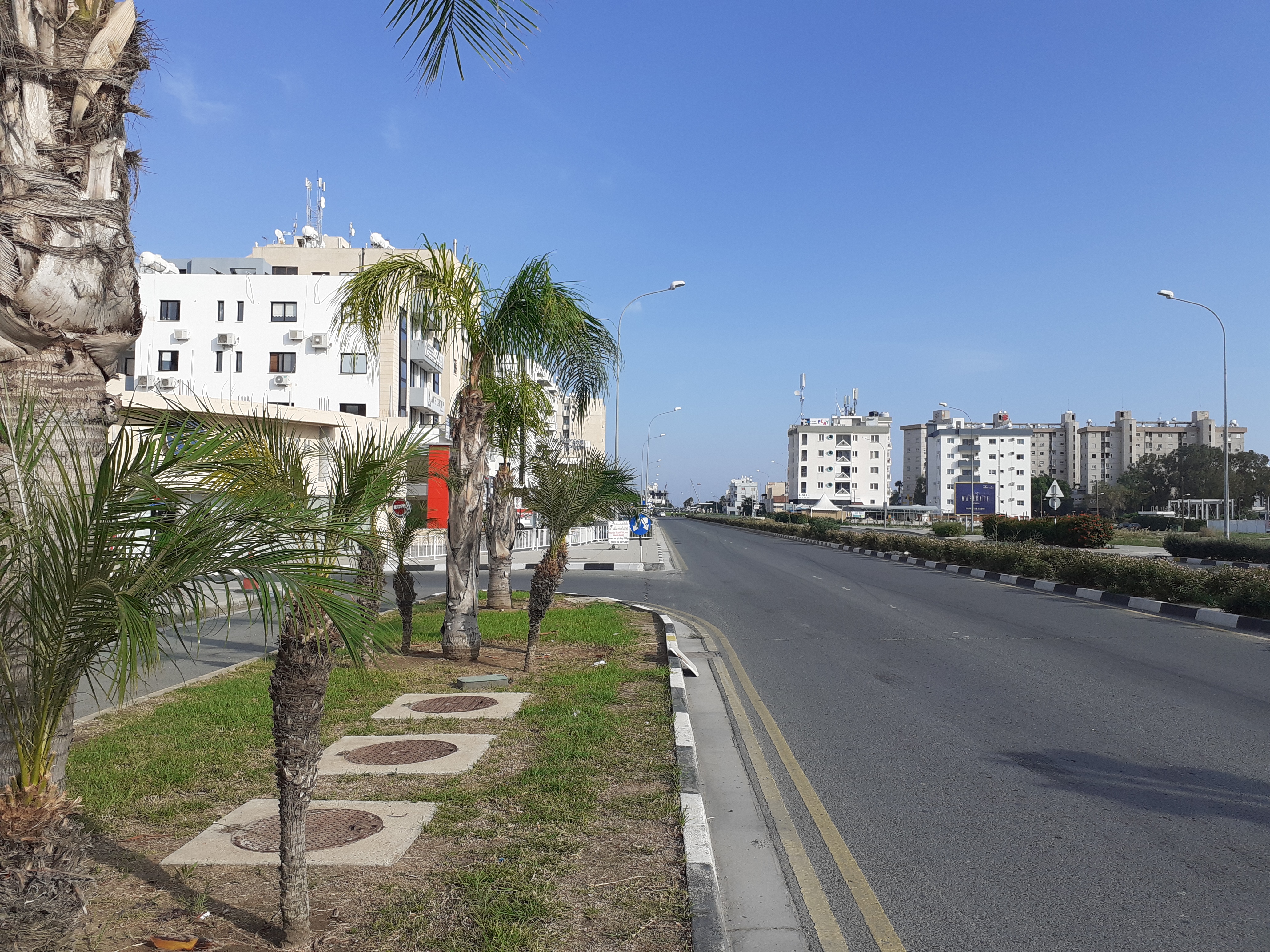
There are direct flights with easyJet taking about five hours from Gatwick to Larnaca, on the south east coast of Cyprus. Everything went well and the Fiat Tipo was ready for me at Budget Car Rental. I had booked for two nights at the Elysso Hotel, which is on the north side of the town about five miles from the airport and the satnav led me in the dark straight to the hotel, which was in its database. This was fortunate, because none of the surrounding street names were. A relic of the British occupation is that traffic drives on the left.
The hotel did not have a restaurant other than for breakfast, but recommended one round the corner. The meal, although it was too big for me and not greatly to my taste, provided me with the necessary sustenance as I had not eaten since mid-day.
Race track
My second-floor room was overlooking an urban duel carriageway with traffic lights in one direction and a roundabout in the other, with a 50kph (31mph) speed limit. For two or three hours it seemed to serve as a sprint course for fast cars and motorcycles, some of which must have been doing 90mph (I am not joking) as they went past my room. The noise was tremendous and the police must be aware of what goes on, but I think they just let the boys have their fun for a couple of hours in the evening when there was not much traffic.
Although the hotel had an underground car park they suggested that it would be easier if I left the car on an area of waste ground opposite which already had several vehicles on it. They assured me that it would be safe and that proved to be the case. In fact, I came to realise that, as the guide books said, Cyprus is in most respects a very safe country. The highest risk is probably in driving, and although worse than Britain it is far better than in many countries I have been to.
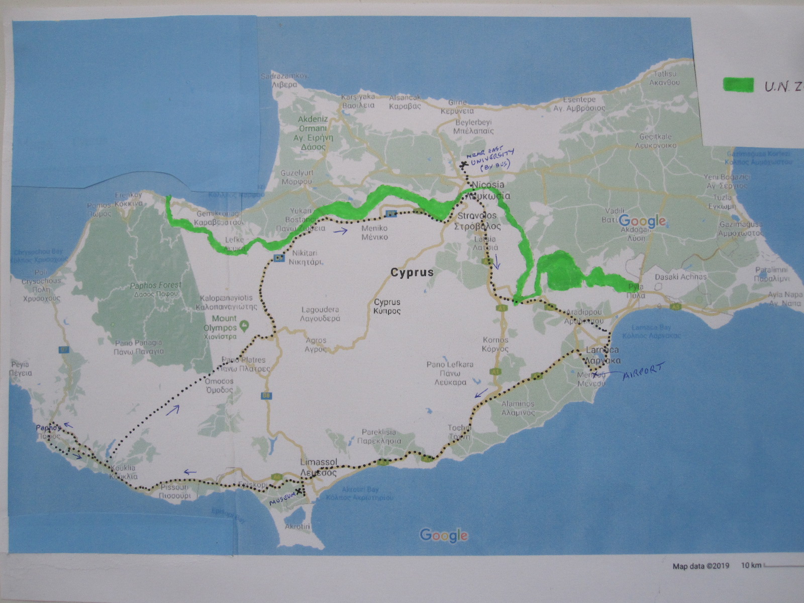
The overall plan now was to have an easy day in Larnaca and then spend six days on a more or less circular route, driving along the coast to Paphos, over the mountains to Nicosia and back to Larnaca..
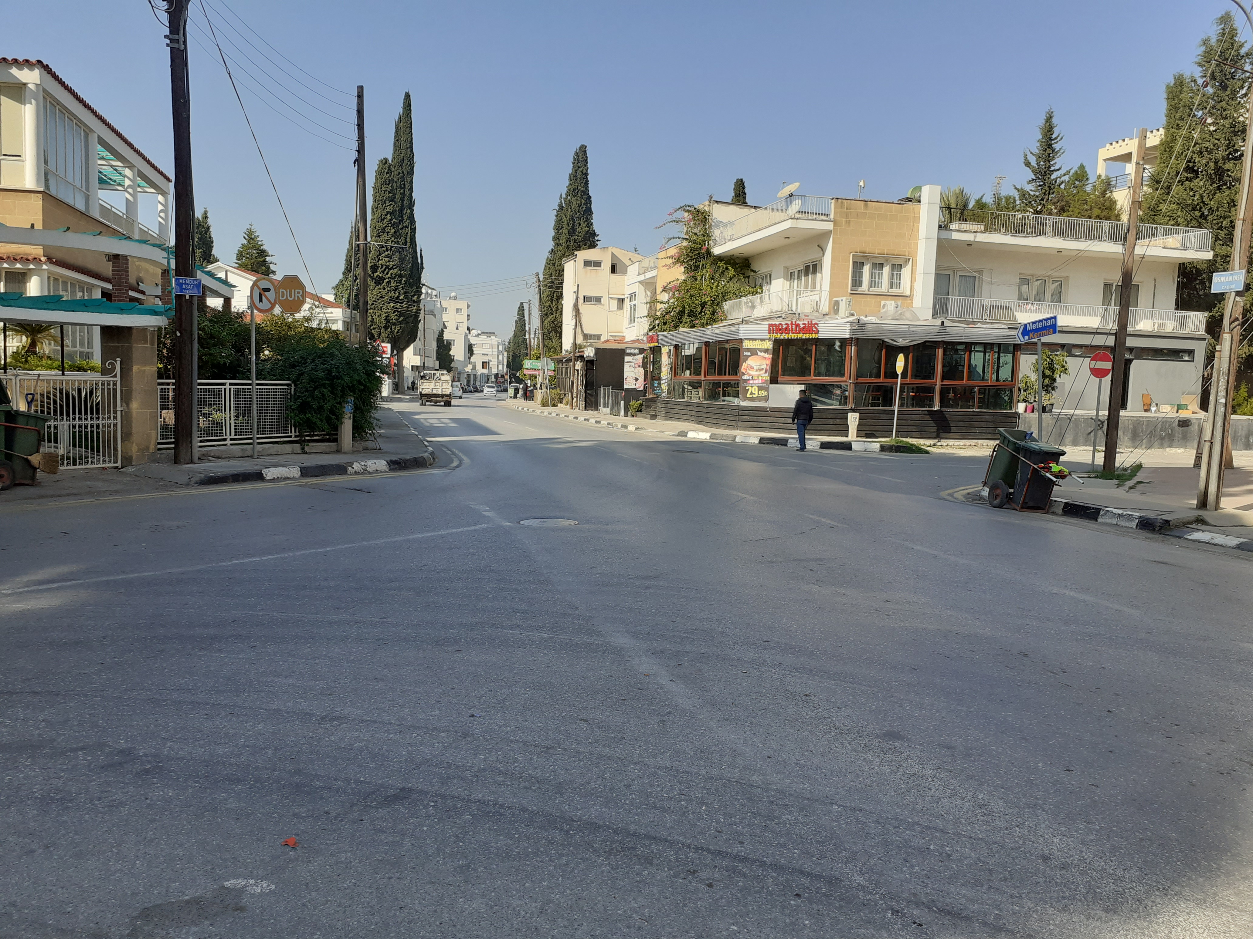
 The next morning I drove most of the way along the sea front, parked near the Fishing Shelter and walked down to Mackenzie Beach at the far end of the built-up area. The weather was just perfect, clear blue sky, warm but not too hot. There were few people around and next to the road was a cycle track on which youths were tearing along on electric scooters and fat wheeled bicycles of the type that are not allowed in public places in England. I immediately decided that I wanted one, and asked the youths where I could hire one. They directed to me a place that I would pass as I walked into the town and when I found it the man in charge said there were no bikes available until 2pm because the youths had run the batteries down!
On the way into town I passed a small general store with a window full of English magazines and newspapers, so there must be a considerable British presence in the area. At 11.00am the newspapers had that day’s date, so they must be printed in that part of the world, something that is easily done with modern technology. The prices were about double those in England which made the Daily Telegraph £4, so I decided that I could make do with my tablet and the hotel wifi later on.
St. Lazarus Church
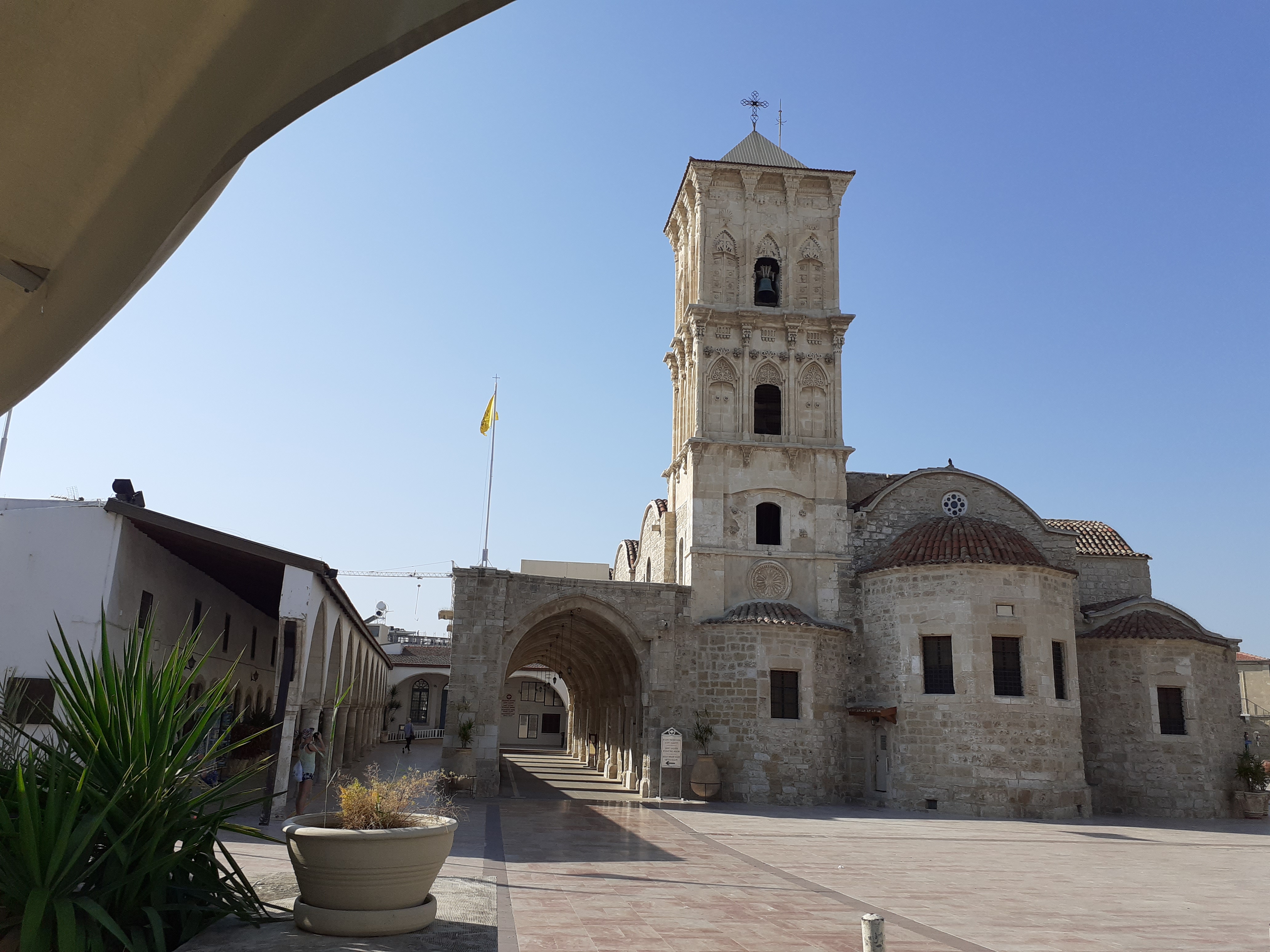
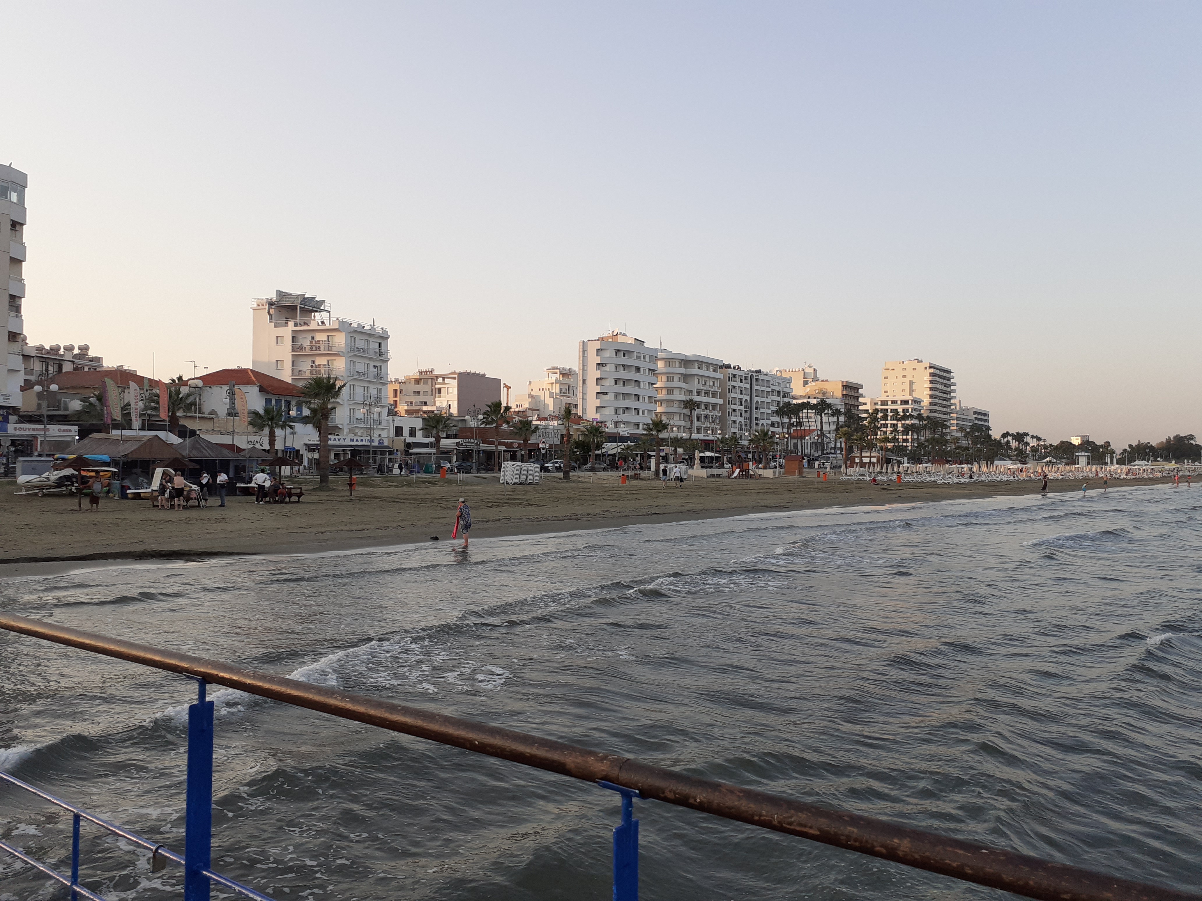
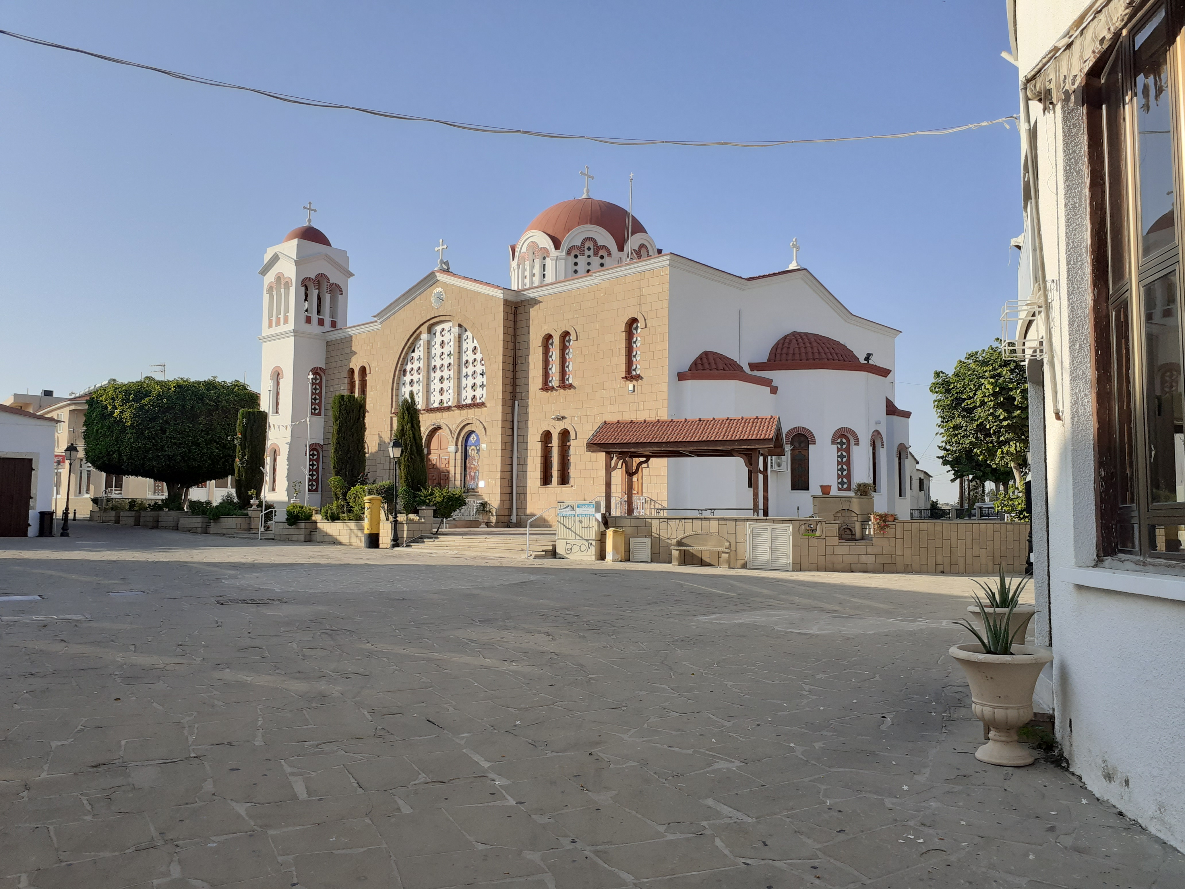
After some distance I came to the castle and the start of the main beach area. The town centre was set back some way from the beach and had a number of attractive stone buildings, including the dominant St. Lazarus Church and a mosque. This was basically the old town with a selection of small shops, the big stores and supermarkets being further out as is usual nowadays. Facing the next stretch of beach with palm trees was a long line of restaurants and takeaways including McDonald’s, Burger King and many more upmarket establishments. A wide strip of the beach was effectively private and covered with loungers and sunshades, but there was a public area between that the sea.
 At the north end of the beach was a wooden fishing pier and marina. Beyond that is the commercial harbour and there is no further access to the beach for a considerable distance.
The town was not at all crowded and a high proportion of the people around were British. The weather was really beautiful, and I could understand why people retire to a place like that, although I think I would get bored fairly quickly. No doubt there is a thriving British community and I am sure it is great if you like playing card games. Of course, the weather is not always perfect, and from November onwards there is a lot of rain at times.
After a wander round the town I made my way back to the car. It was later than I expected, so I decided to leave the electric bike until the next week when I would have some more time in Larnaca.
Limassol (Lemesos, ΛΕΜΕΣΟΣ)
The next morning I followed the coast road to the airport, stopping to look at the Salt Lake, with its large population of birds. There are supposed to be flamingos, but I didn’t see any. It was my intention to take the coast road to Limassol but after messing around at the back of the airport I could not find it and took the motorway instead.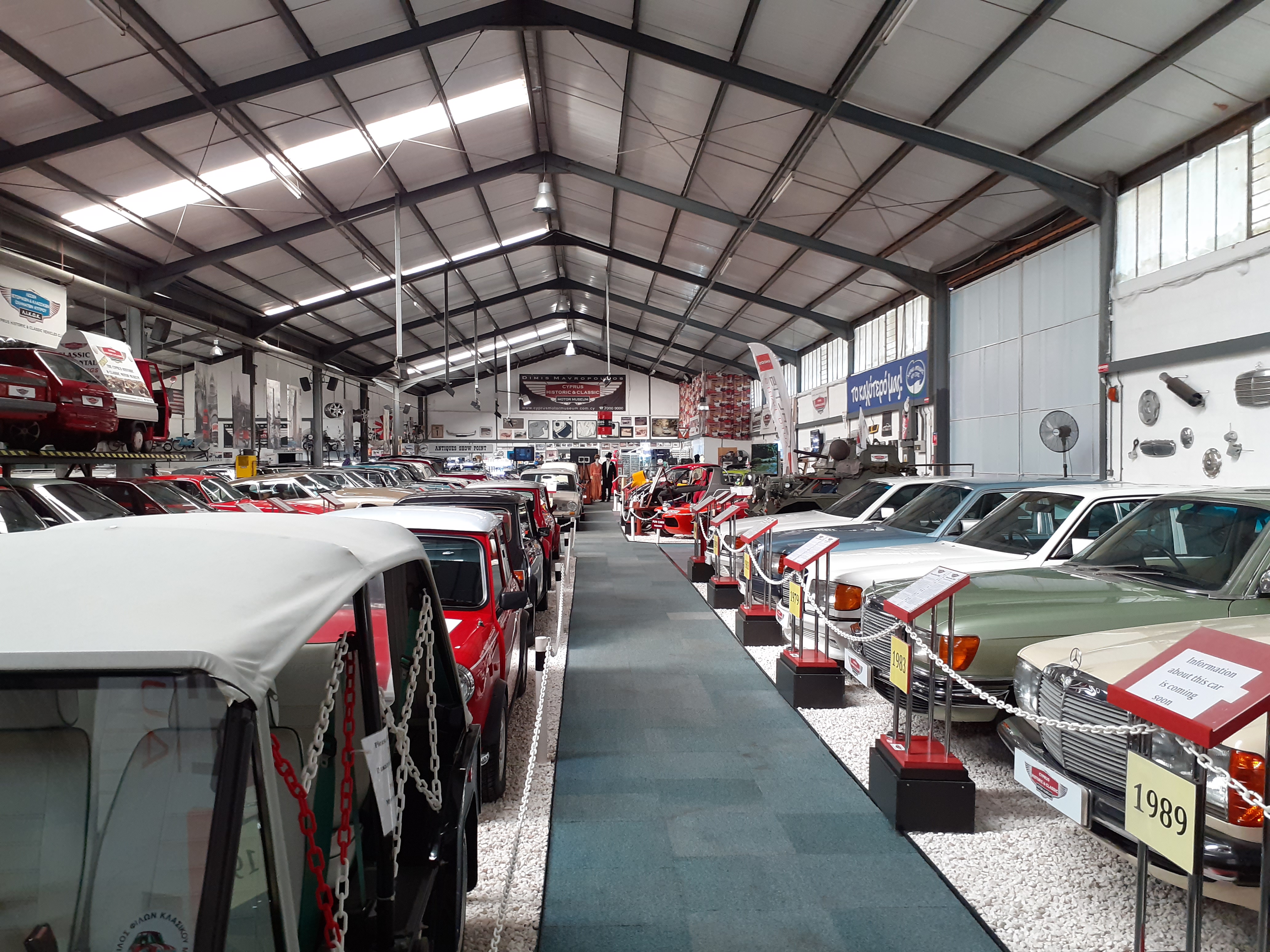
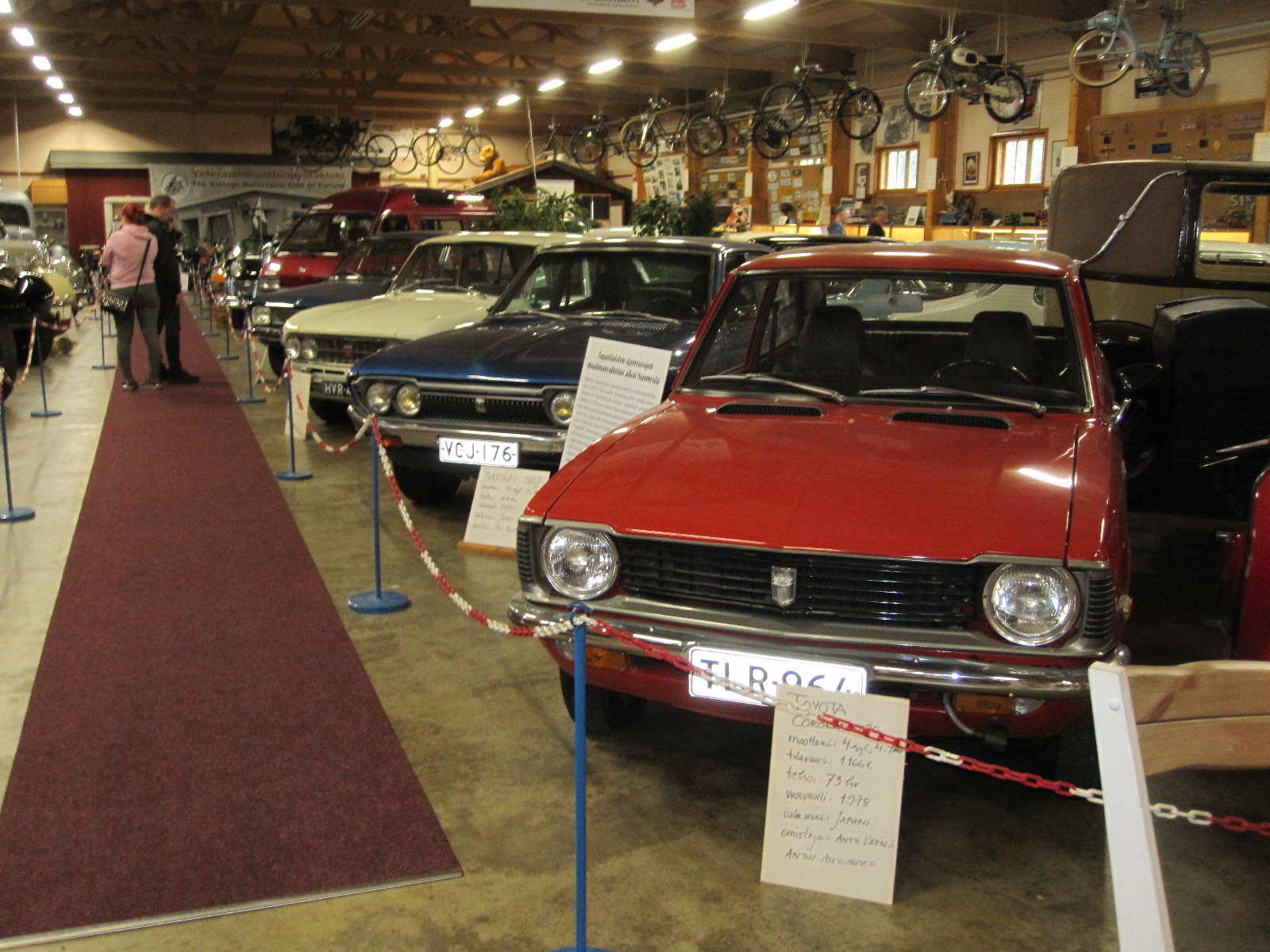
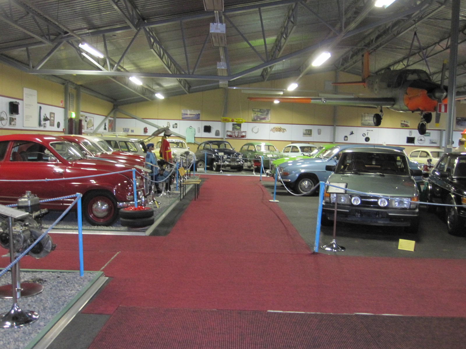
The main purpose of going to Limassol was to visit the Cyprus Historic and Classic Motor Museum, which was easily reached without going into the town. The museum is privately owned and contains about 150 vehicles, from the obligatory 1886 Benz replica through to 2004 and includes cars used by famous people such as President Makarios lll, Mrs.Thatcher and Mr.Bean. For the enthusiast it is a good varied collection and worth visiting.
Close to Limassol is the British Sovereign Base at Akrotiri which was frequently mentioned on the radio in the days of ‘Family Favourites’ and similar programmes for British forces overseas.
After leaving the museum I found myself in Episkopi, another name from the past which is like a little bit of England with housing estates and other facilities for the forces.
Paphos (Pafos, ΠΑΦΟΣ)
Pandream Appartments
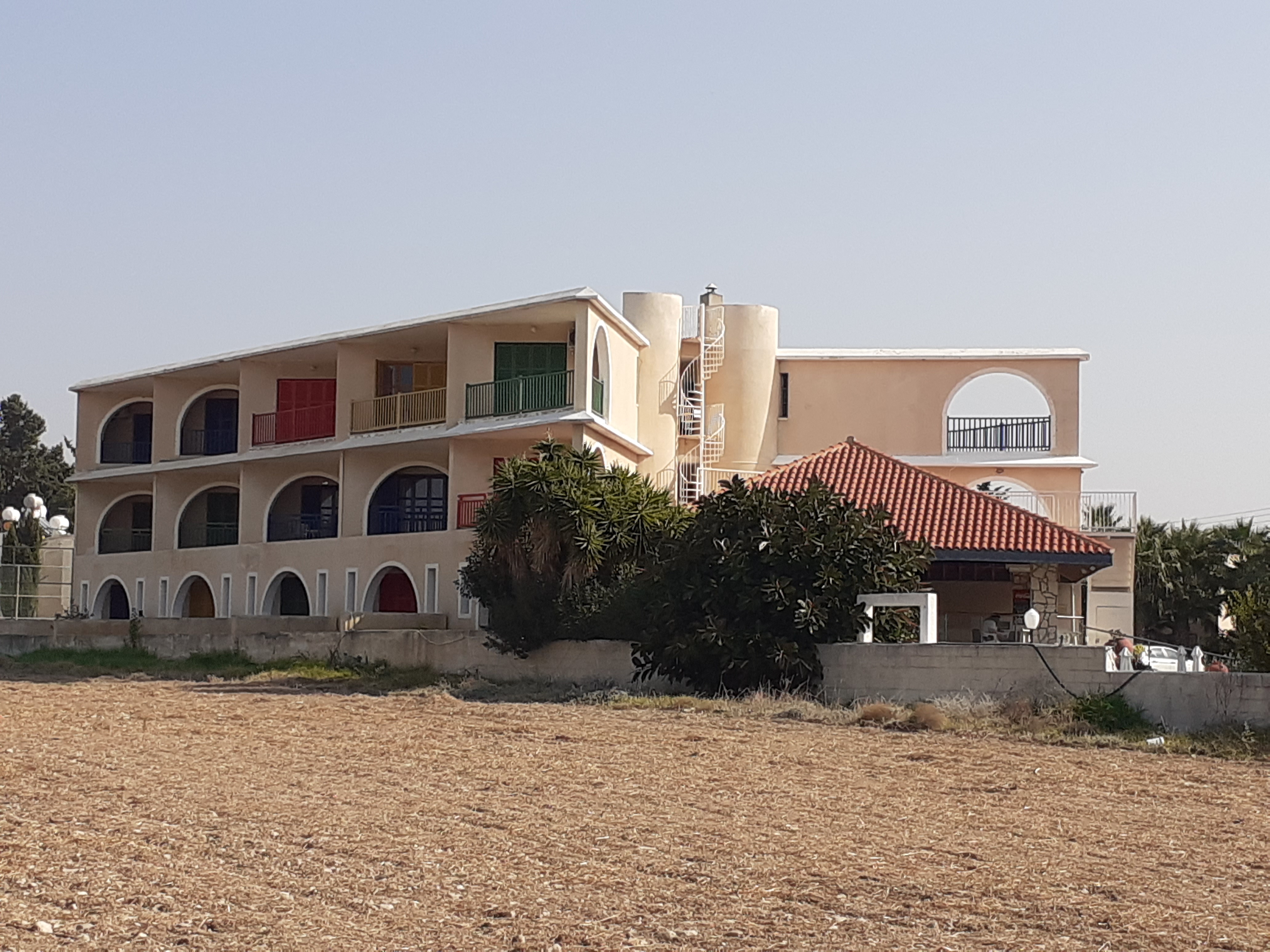
The motorway from there to Paphos was quite mountainous in places, with good scenery. I did not have a hotel reserved in Paphos and started looking for one when I arrived at 4.00pm. In November I thought it would be easy to find accommodation, but the first hotel I tried was full and the second was closed for the winter. I drove right through the town to the beach area and very quickly found the Pandream Hotel Apartments about 100 yards from the beach for £37 a night. It was quite a large Spanish-style place with only a handful of guests and I had a big second floor room with a sea view from the balcony.
Car club
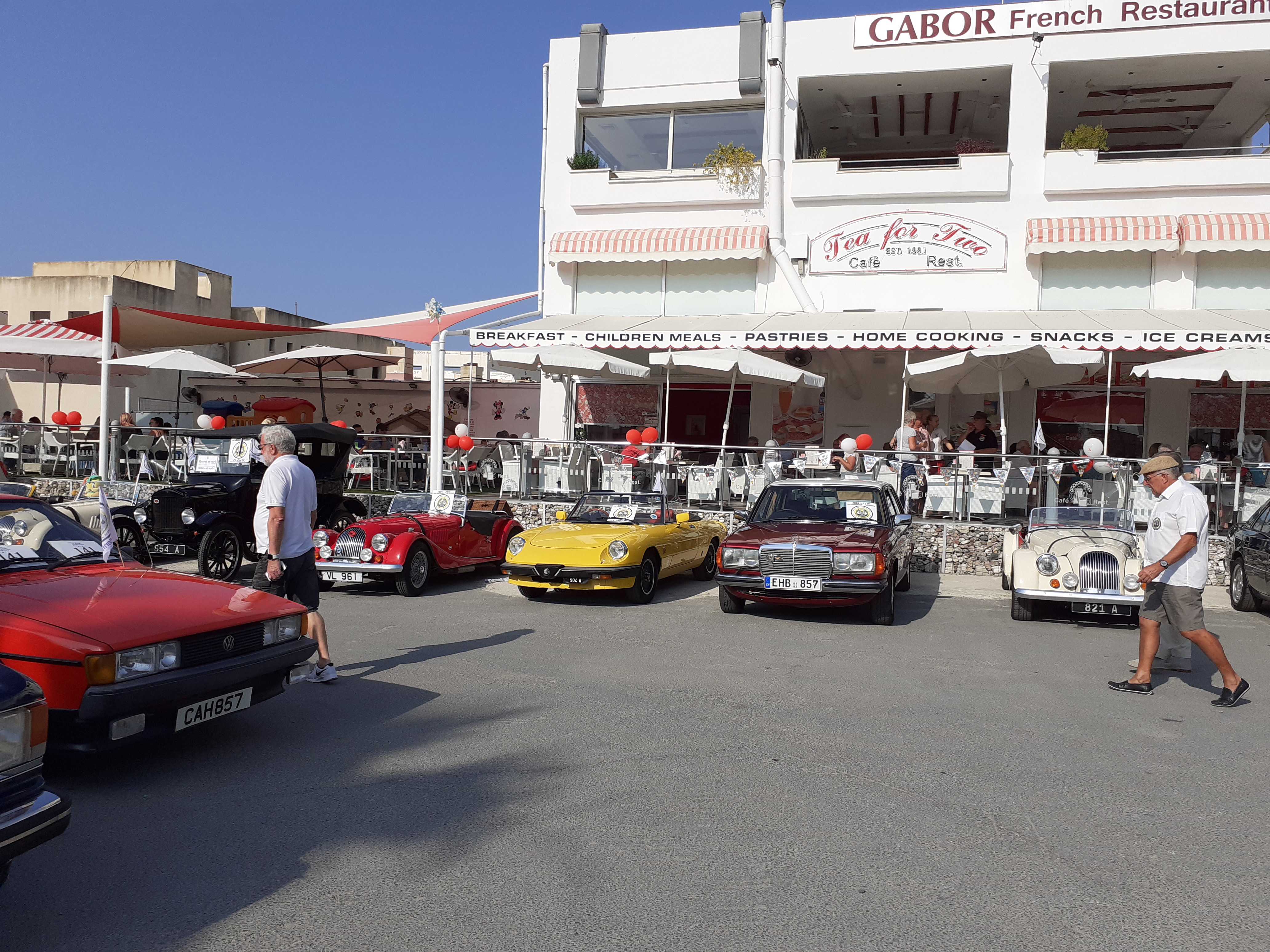
The Tea for Two restaurant was separate on land adjacent to the beach, and as I walked down it inthe morning I saw a very smart 1950s Vauxhall go past. When I turned the corner I was surprised to see that the restaurant car park was full of classic cars, and it transpired that it was the monthly breakfast meeting of the Paphos Classic Vehicle Club. There were at least 30 people, mostly retired couples, and there is obviously a large ex-pat community in the area. After breakfast I set off along the beach and almost everyone around was British.
In the summer Paphos is a popular resort and am told that it is very hectic, but in November, even with the beautiful weather, it was not at all crowded.
 A path called the Coastal Broadwalk runs along the sea front past the town centre, the marina and the archaeological site entrance, right to the castle at the end, a distance of about two miles from my apartment. In the marina was a strange vessel, obviously based on Jules Verne’s Nauilus submarine. Upon further investigation it proved to be an eight-seater 7D cinema, but unfortunately was closed. How the 7D works I cannot imagine.
Nearby was the entrance to the archaeological site, which caused me to have a rare and brief attack of culture. It covers a considerable area of ground and is still being explored.
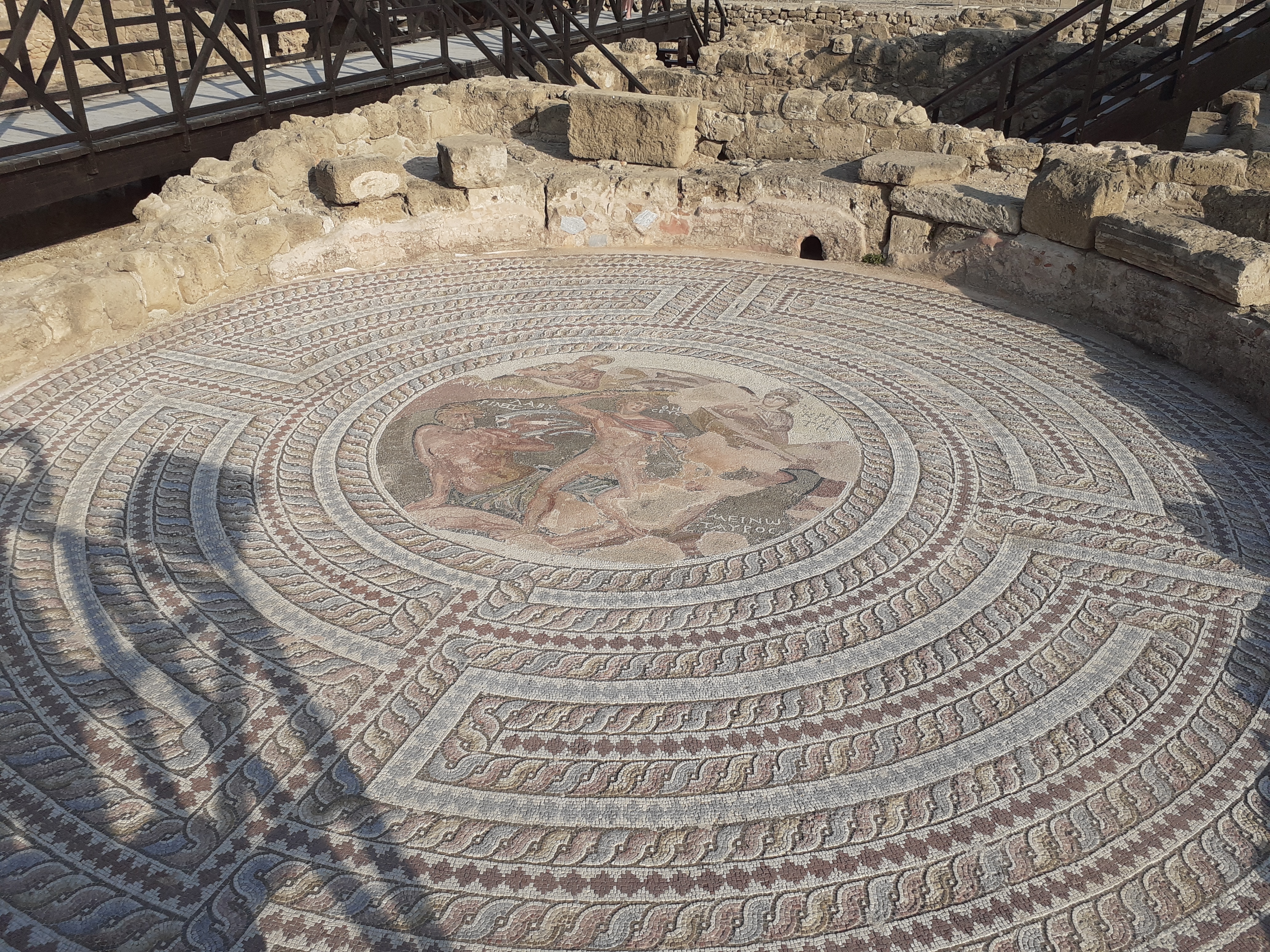
Mosaic
It dates from the 4th century BC and houses the famous Pafos mosaics, which I had actually never heard of. The mosaics tell the stories based on ancient Greek myths, which are explained in Greek and English on information boards. Some of them are inside buildings and some out in the open. One thing I liked was that they had incorporated some odd small areas of mosaic into the concrete paths so that you could actually walk on them.
The day seemed to pass very quickly and finished with a meal at the Tea for Two restaurant.
Over the Troödos Massif to Nicosia
The next morning I set off to drive over the mountains to Nicosia. At 1952m (6404ft) the highest mountain in Cyprus is Mount Olympus, which is roughly half way between Paphos and Nicosia, and stands in the middle of a range called the Troödos Massif.
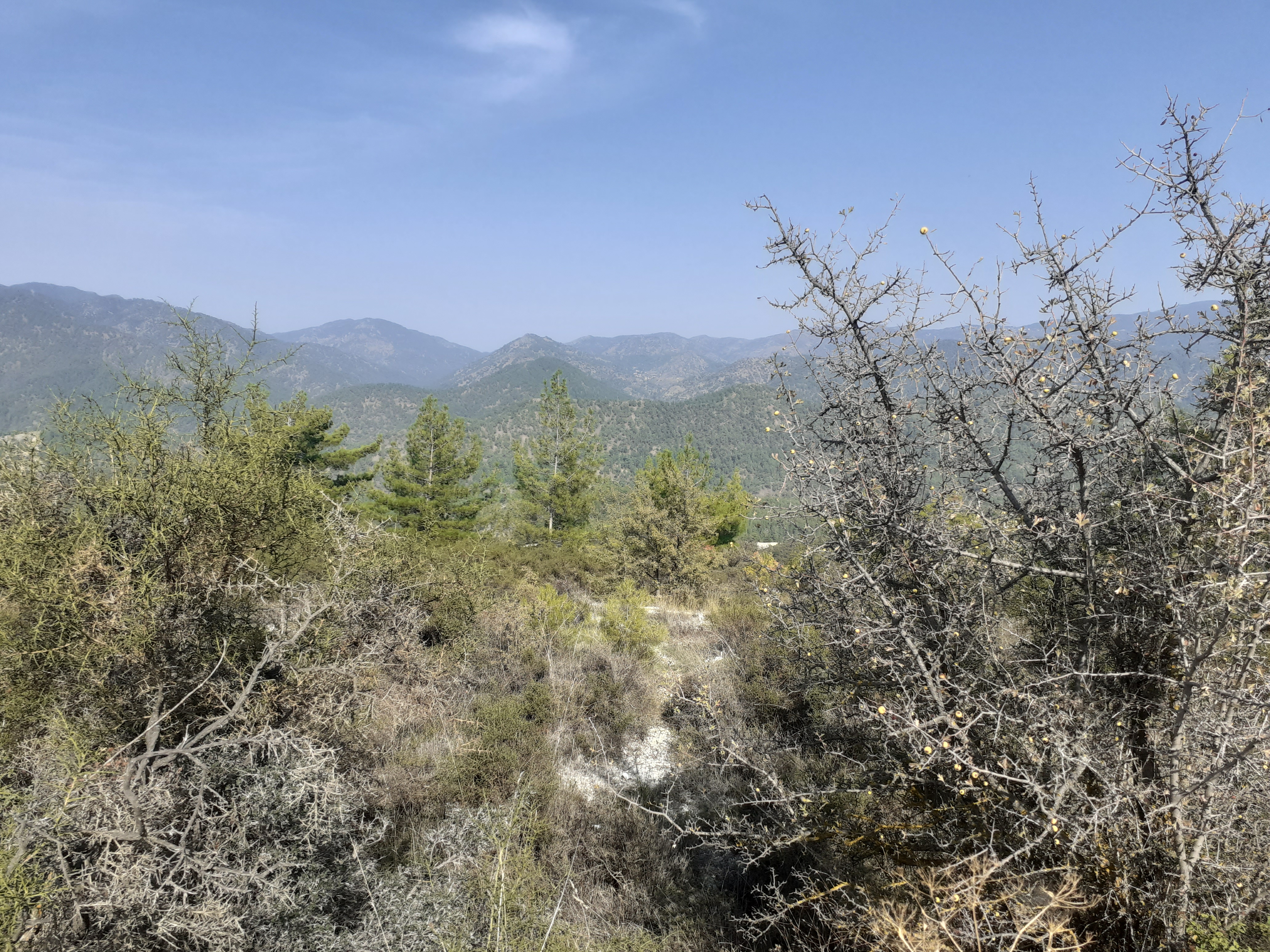
Troodos Massif
The roads in the area are very complicated, and looking at the map I decided to aim for a place called Pano Platres, which was recognised by my satnav. The route retraced my steps on the motorway towards Limassol for some distance before turning off onto the mountains. Then followed about 25 miles of beautiful scenery with a long climb up to Pano Platres, after which I got hopelessly lost, despite all my GPS equipment. I still don’t understand how it happened, but there were a vast number of small roads with tourist signs and nothing that I could recognise on the map or put into the satnav.
It was considerably cooler than on the coast, and there were signs to ski resorts, although it was nothing like cold enough for that. Eventually I got on to the main road B8 which goes close to the summit of Mount Olympus before dropping downhill (as the B9) in the direction of Nicosia. From Paphos to Nicosia is 148km (92miles) via the motorway, but my mountain route took far longer than that, and I finally got to the outskirts of Nicosia at about 3pm.
Nicosia (Greek side: Lefcosia, ΛΕΥΚΟΣΙΑ. Turkish side: Lefkoșa)
The hotel that I had booked was right in the old city, in the centre, and I did not realise how difficult it would be to get there on a Sunday afternoon. The narrow streets were packed with people and it was sheer driving hell getting to the hotel, reminiscent of Istanbul and towns in India. The hotel was supposed to have a car park, but when I got to it I could not even stop, let alone park, so I struggled on until I found a public car park some distance away. While I was looking at the map trying to work out how to walk back to the hotel a very refined-looking young lady came up to me speaking excellent English and offered to help. She suggested that we ask the car park attendant, and as we walked over she asked where I was from. I told her “England” and asked where she was from. She said “Moscow”. Moscow!! It was about the last place I expected. When I was in Moscow most people I met were pleasant enough but didn’t look very refined or speak English.
Anyway, I managed to find the way back to the hotel on foot, and the staff showed me how to get to their car park, which meant reliving the nightmare of driving in the tiny back streets. Once sorted I went for a walk along Ledra Street, which is the main artery of Greek Nicosia and leads to the checkpoint on the Green Line for pedestrians into Turkish North Nicosia. It was my plan to go through into the north the next day.
Dry moat
When I was planning the trip there were two places north of the Green Line in Nicosia that I particularly wanted to go to, namely the Turkish area of the city and a car museum in the Near East University about five miles north of the centre.
I could not take my car into the north, which meant I would have to get to the university either by taxi or bus. From experience I don’t like taking taxis in foreign cities, so the best option would probably be the bus.
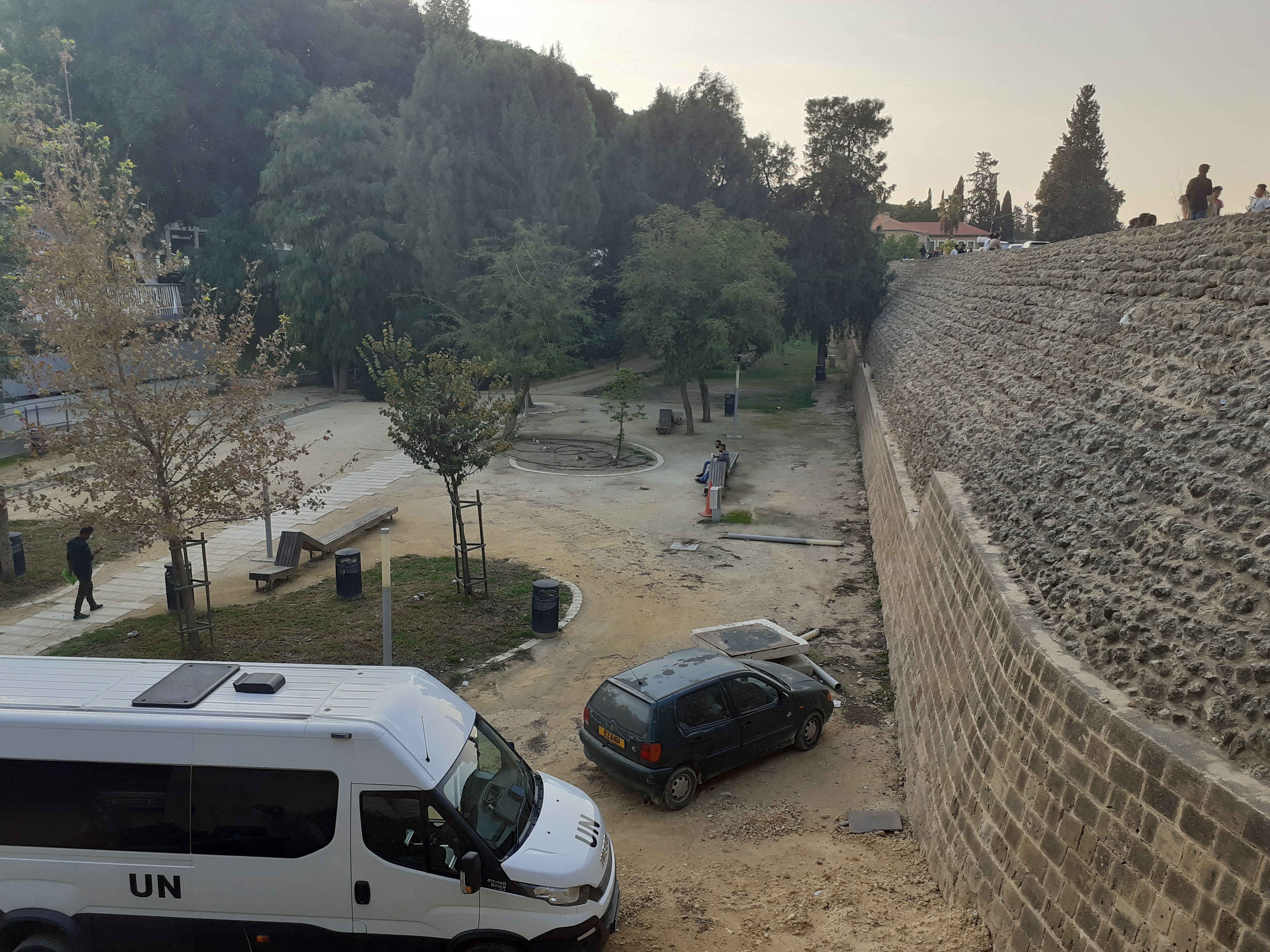
On the Monday morning the area round the hotel was very quiet and the car parks were almost empty, a complete contrast to the previous afternoon. On the Greek side Ledra Street is quite modern with smart shops and restaurants, many with familiar names. At the checkpoint I had to show my passport both sides. There was no queue. On the north side everything changed, with old narrow streets and a vast bazaar-like market, some of it under cover. Walking more or less directly northwards on Girne Caddesi took me through a square with shops and banks to Kyrenia Gate, where there was an old building containing a tourist information centre. The man in the office gave me a map of north Nicosia and told me where to get the bus to the university.
 Kyrenia Gate is a gate in the city wall, known as the Venetian Wall, which surrounds the whole of the old town and is remarkably intact. It dates from 1567 and has 11 fortifying bastions equally spaced around it giving it a shape something like a snowflake on a map. The wall was intended to keep out Otterman invaders, but failed miserably in 1570 when the Ottomans broke through and killed 50,000 of the city’s inhabitants. Around the outside of the wall is a wide strip of land like a dry moat.
The Gate is at a junction with a very wide road almost like a ring road where all the buses stop, but the set-up was a bit vague. There were some people who looked like students, and I asked them where the bus stop for the university was, and they said “Here, just wait and the bus will come”. I suddenly realised that I had no Turkish money and asked the students if I could pay with euros on the bus. They said if I was going to the university it was free.
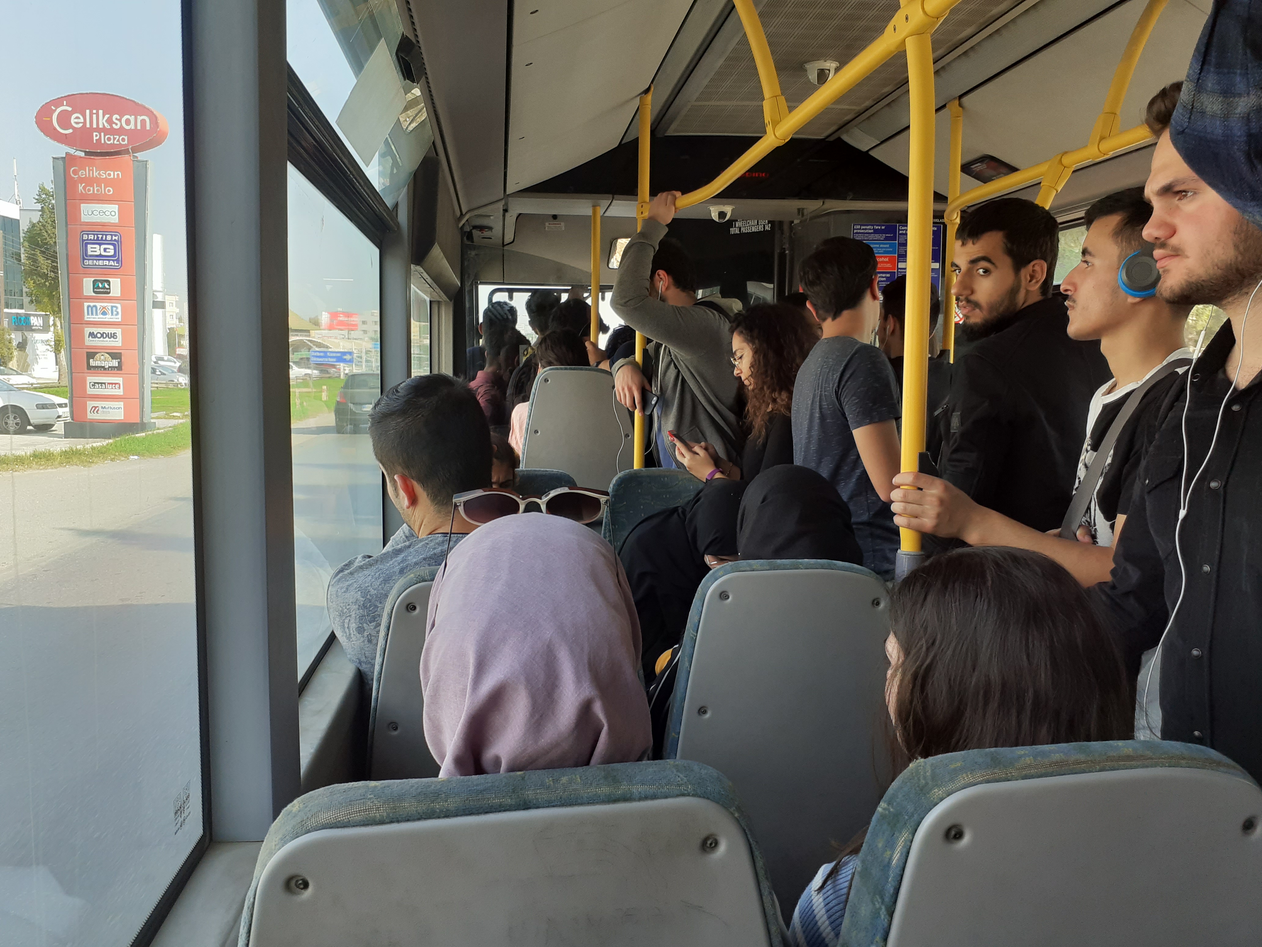
On the bus
Different buses kept coming, most of them quite small with destination boards in the front windows. Suddenly a big red bendy bus came and the students all surged forwards, so I assumed that this must be the one. It was standing room only, and was very uncomfortable, with a lot of jerking and jolting. As I was between 50 and 60 years older than everyone else on the bus I have to admit that when a student offered me his seat I accepted it. I suddenly noticed a sign on the door extolling the advantages of the Oyster card, and another one behind the driver saying that there was a £50 fine for travelling without a ticket, giving an Arriva phone number. The truth dawned – this was one of Ken Livingstone’s congestion-causing cyclist-killing ex-London Transport bendy buses, spending its retirement carrying students in Cyprus.
The Near East University (NEU)
The expression Near East is not used in Britain, but is used in some other European countries to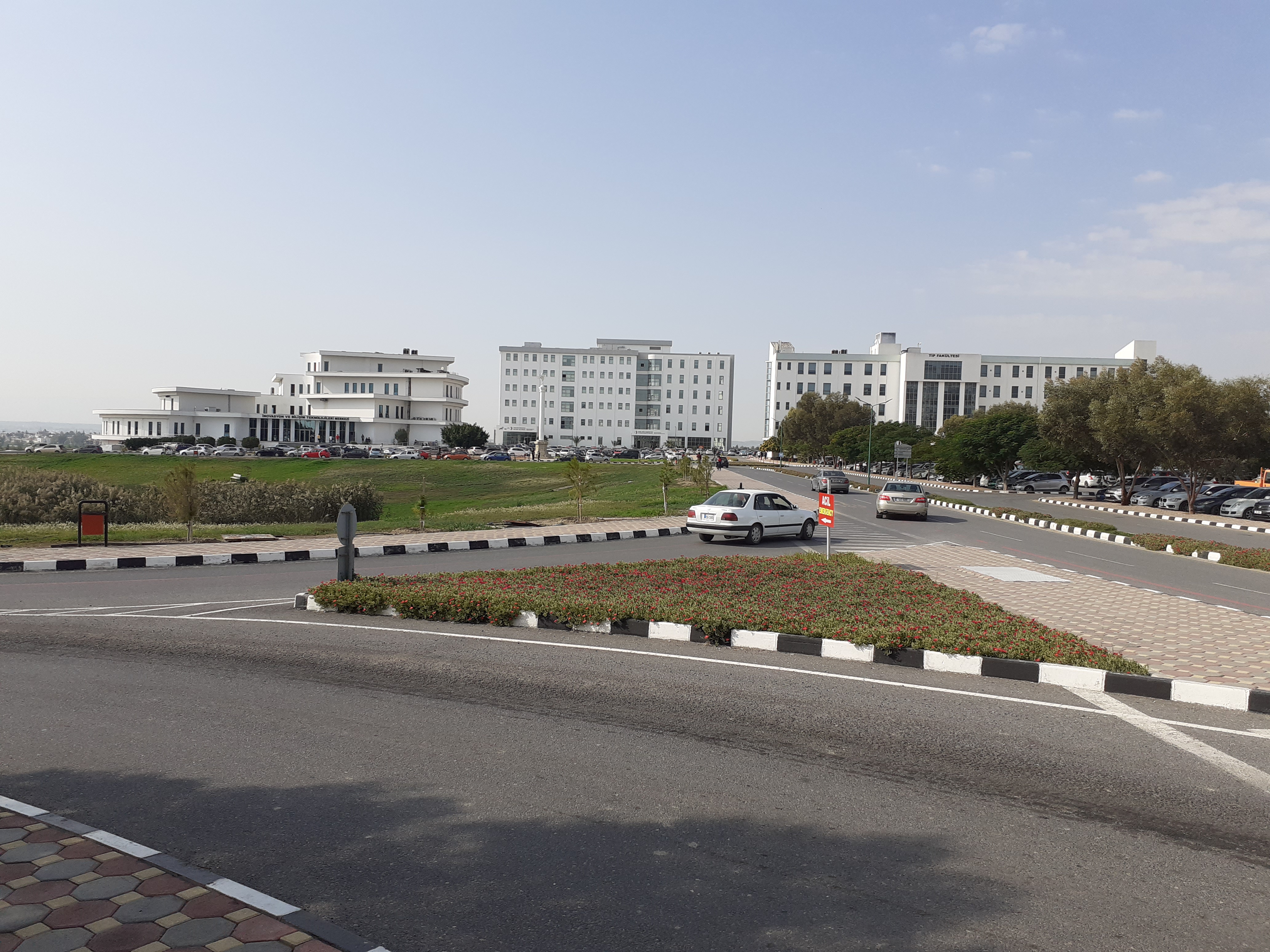 describe what we call the Middle East. The Near East University in Nicosia is an extraordinary place. It was founded in 1988 by a Turkish Cypriot named Suat Günsel, who still owns it. It has over 25,000 students, including many from the Middle East and Africa, plus 1200 academic staff. There are 16 faculties, 4 graduate schools and 15 research centres. Also primary and secondary schools and a kindergarten. The campus covers 98 hectares with a Congress Hall, a huge library, a supercomputer, a hospital, a mosque, a Communications Museum, an Art Museum, and most importantly the Museum of Classical and Sports Cars.
This last item was, of course, the purpose of my visit. For a change I had done my homework and knew whereabouts in the vast campus the museum was situated. From the map in my phone I could follow the movement of the bus as it crawled along the complicated road network, and got off at a point reasonably close to my target.
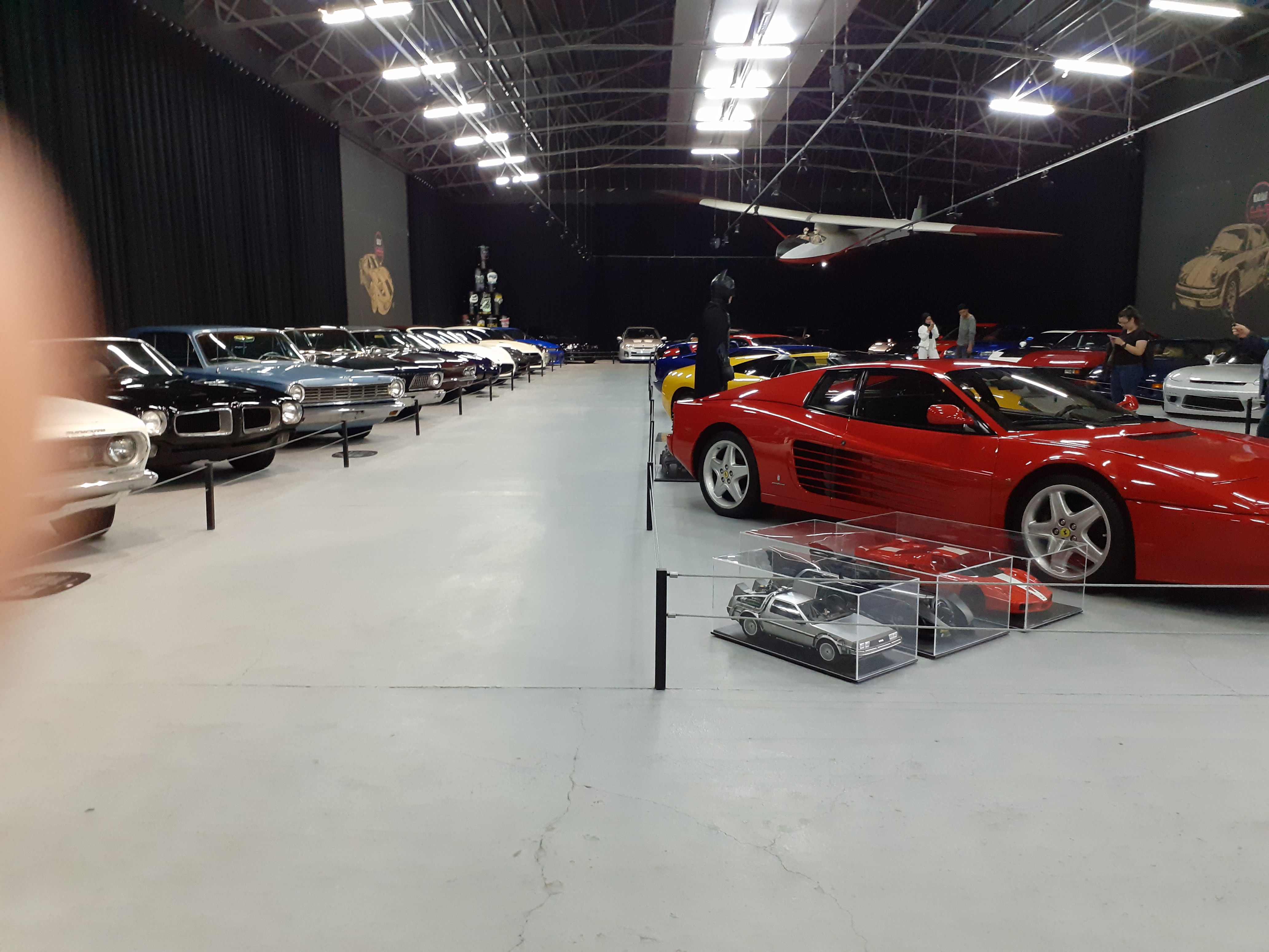 At 20 euros the entry fee to the car museum was a bit over the top, but I had come a long way and I could hardly change my mind about going in. There were 140 cars displayed in two sections, classic cars and modern high-performance sports cars. A considerable number of the classic cars were British, including a Rolls-Royce Silver Shadow, a Jowett Javelin and Riley RM. The sports cars included Ferraris, Mercedes, and other exotica from around the world. I suppose having a display of cars worth millions of pounds in their midst gives the students something to aspire to, but it does seem rather odd in some ways.

Waiting for bus
The next challenge was to find the bus back to the city. It was not too far to walk to the centre of the campus where there were students standing around in front of what appeared to be the headquarters, but it proved to be quite difficult to find anyone who spoke much English, or at any rate, was willing to. In the end I found the best people to ask about the bus were the black African students, who probably spoke English at home,. Buses were coming all the time, and apparently I needed number 2, which turned out to be the same as the one I had come on. It was crowded and I had to stand most of the way.
The impression I got was that the NEU works on a straightforward basis “You give me some money, I will give you an education.” The fees for most courses are about 5000eu. per annum, apart from medicine and dentistry, which are much higher. Looking at the students I got the feeling that they were mainly from fairly well-off families. The NEU is a Muslim institution as might be expected, but there was no sign of any radicalism. Some of the female students wore head-scarves, but I did not see any with veils. Despite the warm weather none of the male students wore shorts, whereas in Britain or the USA most would have done. The only shorts in view were mine, and that is not a particularly pretty sight.
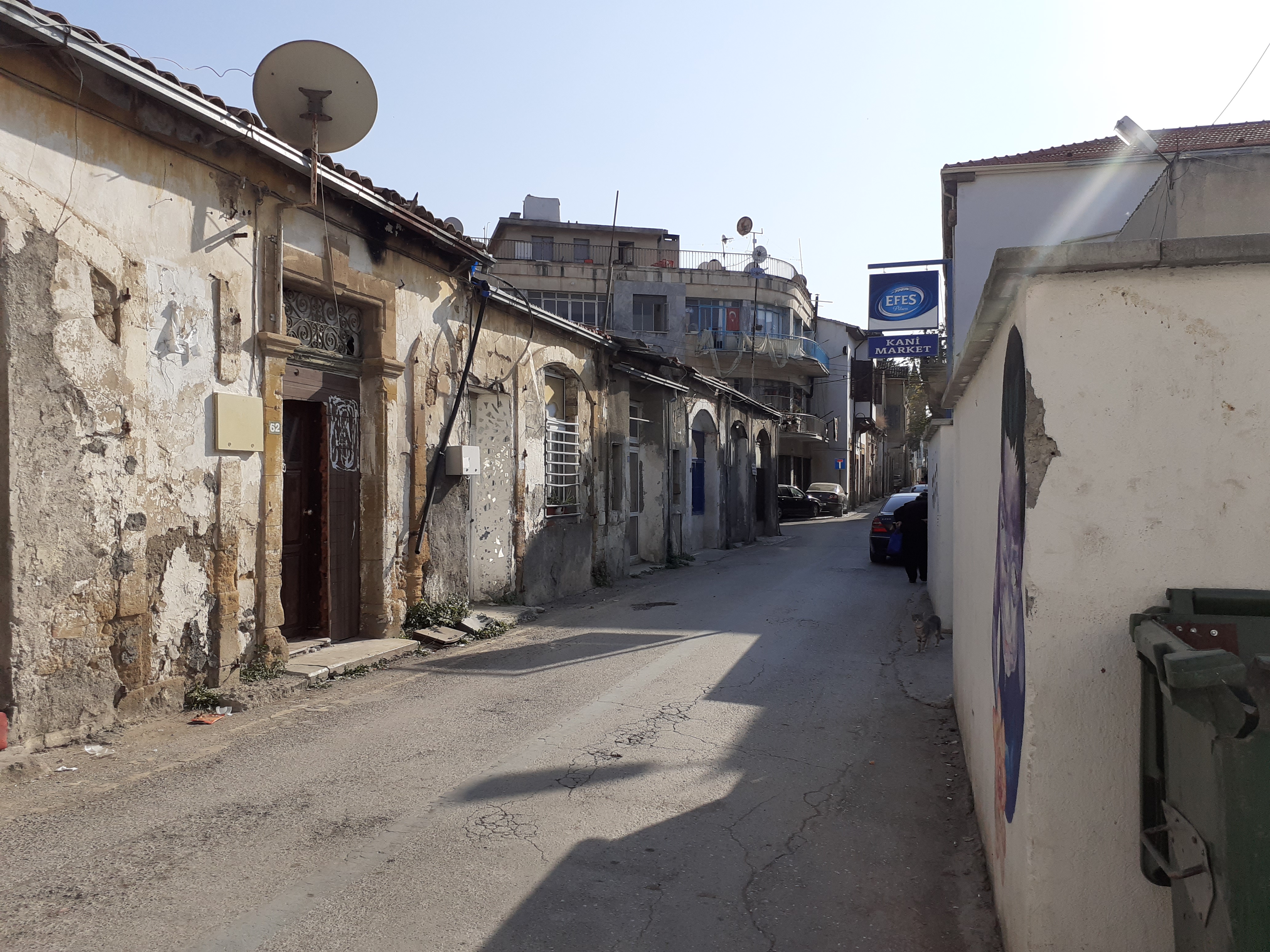
Back street
Back at Kyrenia Gate I left the bus and walked through the back streets to the Ledra Street check point, passing some run down workshops in which people were patching up old cars. There was nothing greatly of interest apart from two or three damaged rotary-engined Mazda RX8s, which I suspect would eventually emerge as one vehicle.
After another brief passport check I was back on the Greek side, aiming for the Cyprus Classic Motorcycle Museum, which is also in the back streets not far from the check point. This museum is the property of Andreas Nicolaou
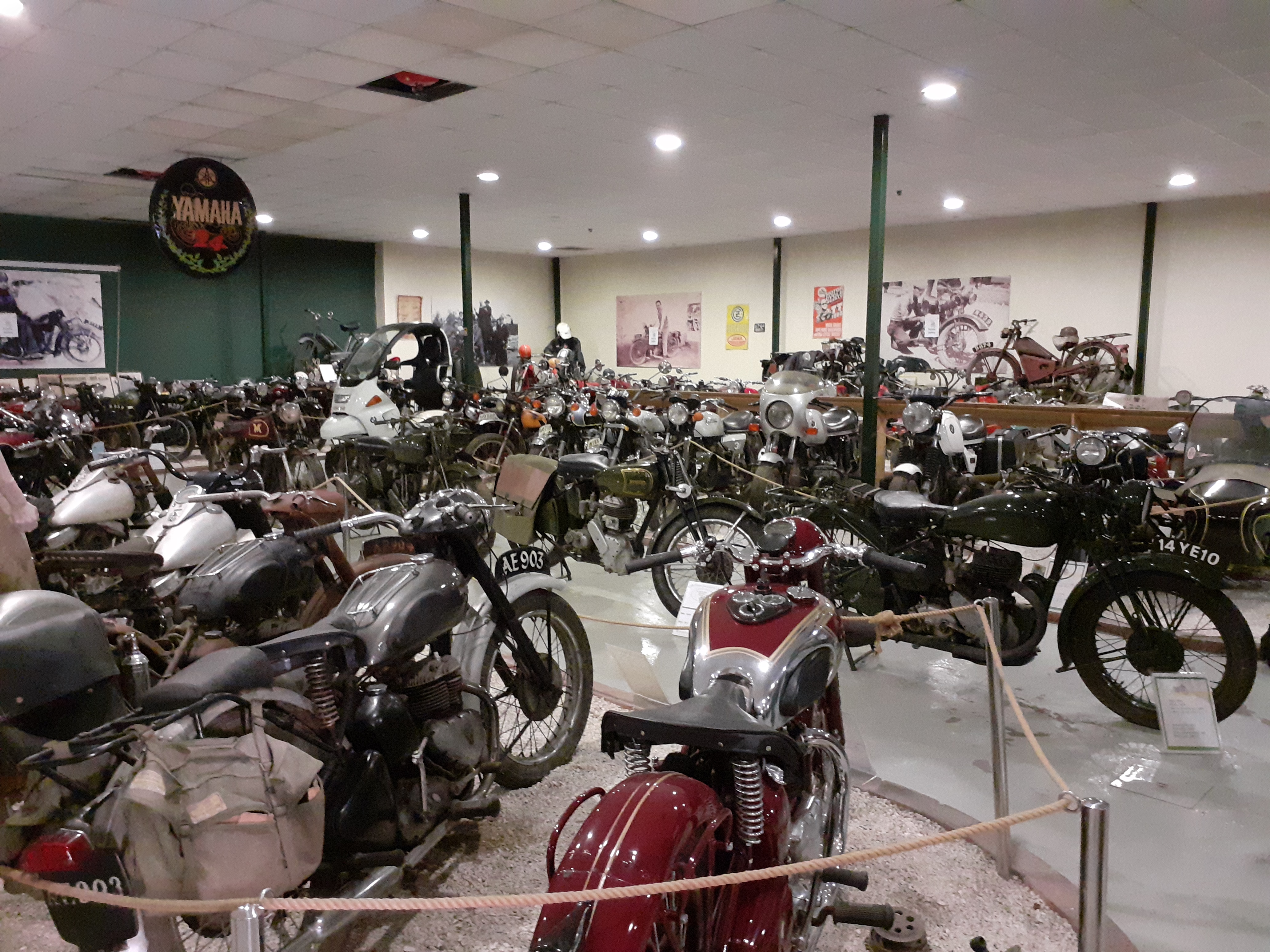
Motorcycle museum
and has about 100 machines on display. Andreas told me his family lived in Famagusta when he was young and they had a collection of 15 motorcycles, mostly British. When the Turks invaded they had to leave in a hurry and could not take the bikes with them. He thinks some of them might have finished up in England years later, bought by dealers who went to Northern Cyprus. Anyway, his family were successful in their new life in the South and he now has a total collection of over 400 bikes.
In the museum I got talking to a man who was in the British army and retired to live in Cyprus. I mentioned that I had been through the border, and he said “What! You’ve been through? I’ve never been!”. It was as if I said I had just been to Syria or Afghanistan. He also said that the U.N. Peacekeeping force along the Green Line was currently made up of British and Argentine soldiers.
The next morning I checked out of the hotel but left the car in the car park. The plan was to have another look round Turkish North Nicosia before driving back to Larnaca. I passed through the Ledra Street checkpoint again and turned immediately left inside the Green Line border and followed it round until I came to the city wall, where there was an area of no-man’s land with an
North Nicosia suburb
unoccupied U.N. watchtower in it. This area was rather run down but undergoing a large scale renovation scheme by the local authority and the U.N. From here I followed the city wall round to Kyrenia Gate and crossed over the ‘Ring Road’ into a tidy area of houses and businesses. After a while I came back to the Gate and walked all along the inside of the eastern city wall until I came to the Green Line border with its notices forbidding photographs. Turning right eventually brought me into the enormous bazaar and ultimately to Girne Caddesi which was about 100 yards from the Ledra Street checkpoint.
Before going through the checkpoint I had a cup of gourmet coffee at a street stall run by a man who had lived in Islington for several years. He was not particularly friendly, but his young assistant was, and started chatting to me in excellent English which he said he had taught himself. He said he was Kurdish, with a Turkish passport, and was studying psychology at the NEU. It was clear that he was very intelligent, but seemed to have little idea what the future held for him. I mentioned that I had difficulty in finding anyone who spoke English in the university, and he said “They can’t be bothered to learn”.
Back to Larnaca
Aradippou
After collecting the car from the hotel I set off on the motorway to Larnaca, turning off on the way to look at a place called Aradippou. The Elysso Hotel found a room for me, and I spent the evening walking down to the beach restaurants for a meal.
My return flight to England to England was not until the next evening, so I had most of a day to have another look at Larnaca. It was still my intention to try the electric scooters, so I parked near the Fishing Shelter again and walked down to the ebike hire place, only to find no one there and the bikes chained up. However, as I walked towards the town I came across some ordinary bikes for hire at the kerbside and got one of those for the rest of the day for 5 euros, a good rate for quite a good bike.
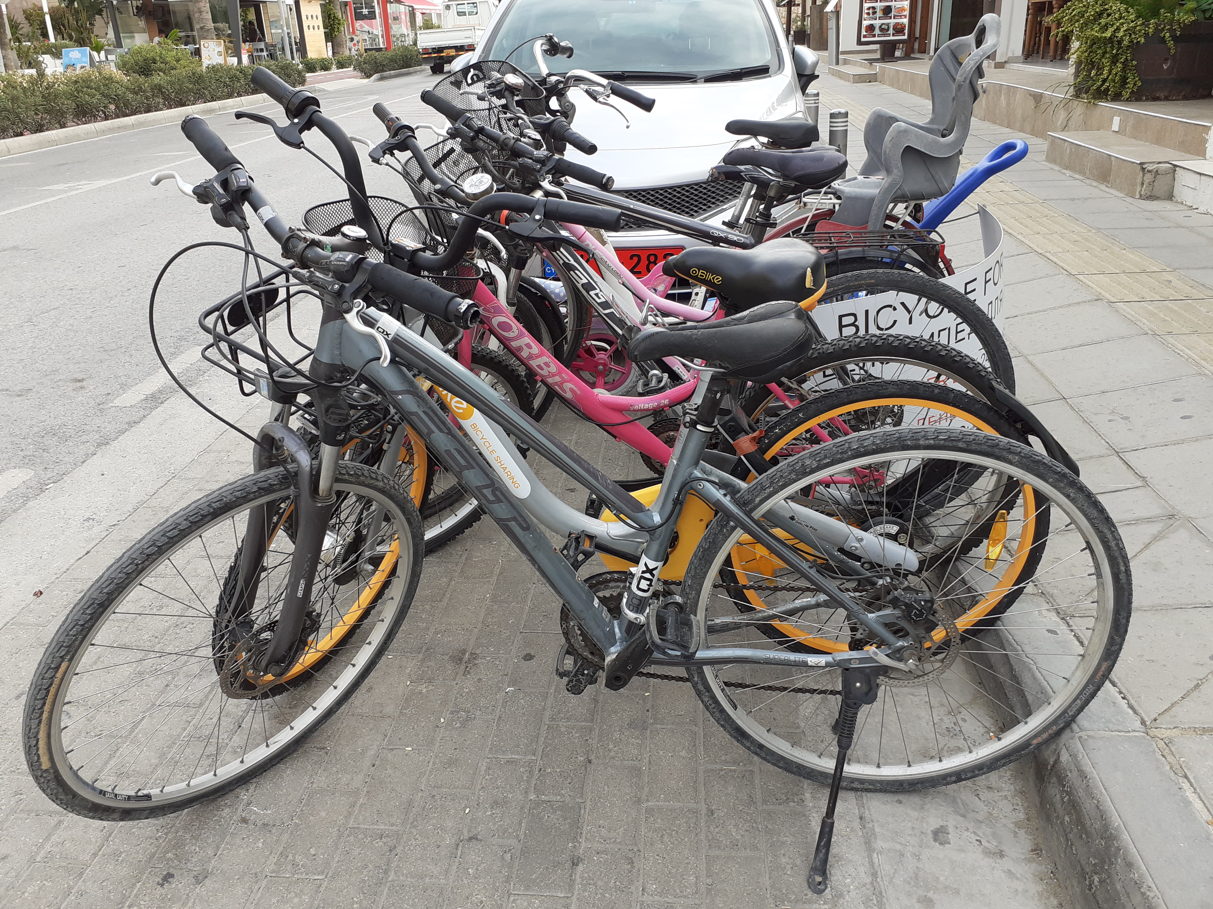
5 euros per day rent
It enabled me to have another look at the old town and then go to some of the big shops further out on the main road towards Nicosia. There were a couple of hypermarkets with everything from stuffed toys to generators and workshop machinery, mostly with Chinese brand names unknown to me. Also an enormous HINO, DAF, SSang Yong, Suzuki dealership with vehicles that you would never find in one place in England.
After seven days of almost perfect sunshine in Cyprus it was a bit of an anti-climax as I trudged at midnight through the pouring rain in the near-flooded Long Stay North car park at Gatwick. I could not help feeling slightly envious of those people who would be having breakfast in the Tea for Two in Pathos in a few hours’ time.
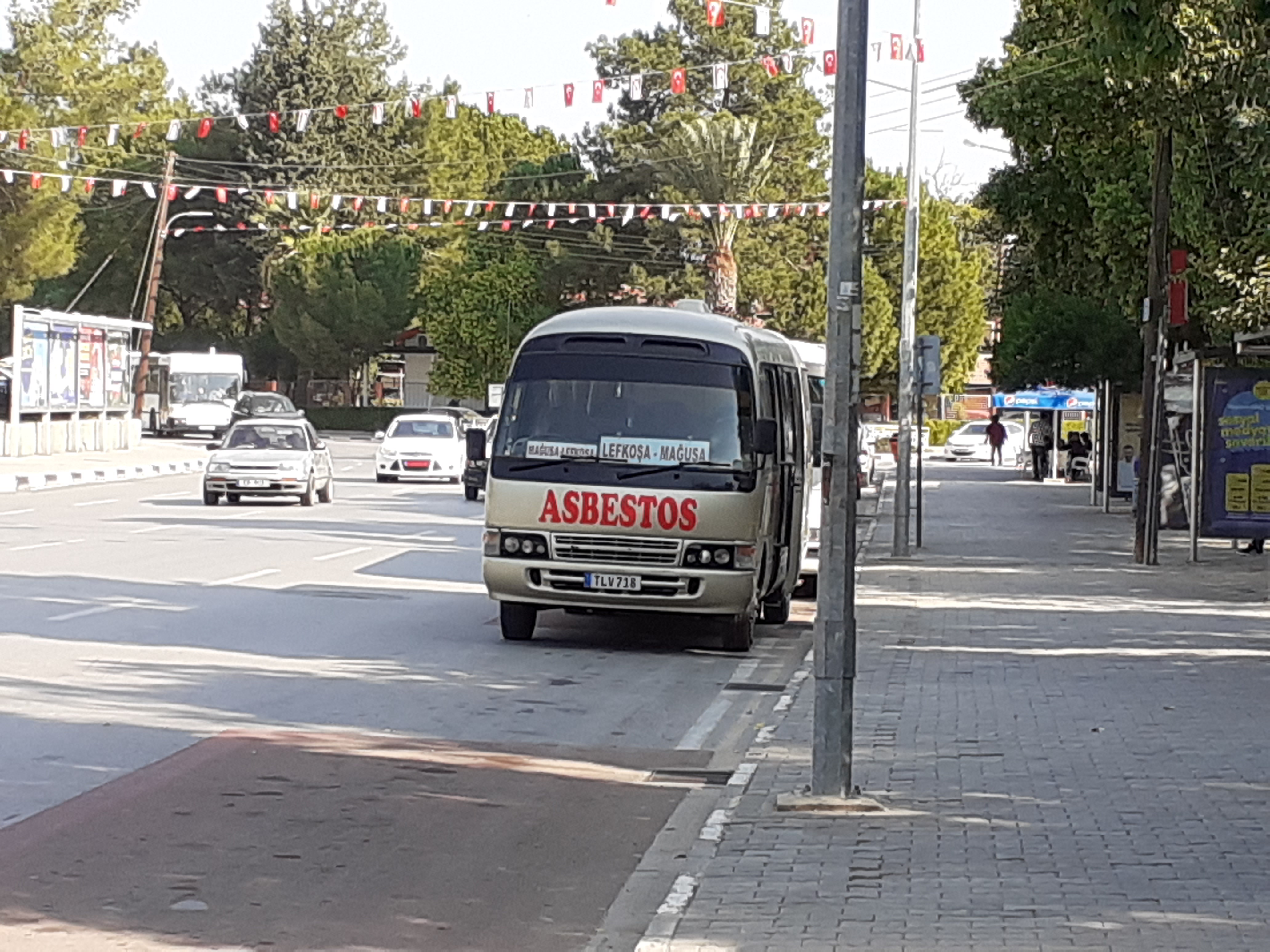
Lovely name for a bus company
Finland 2019
Finland 2019
CLICK ON PICTURES TO ENLARGE
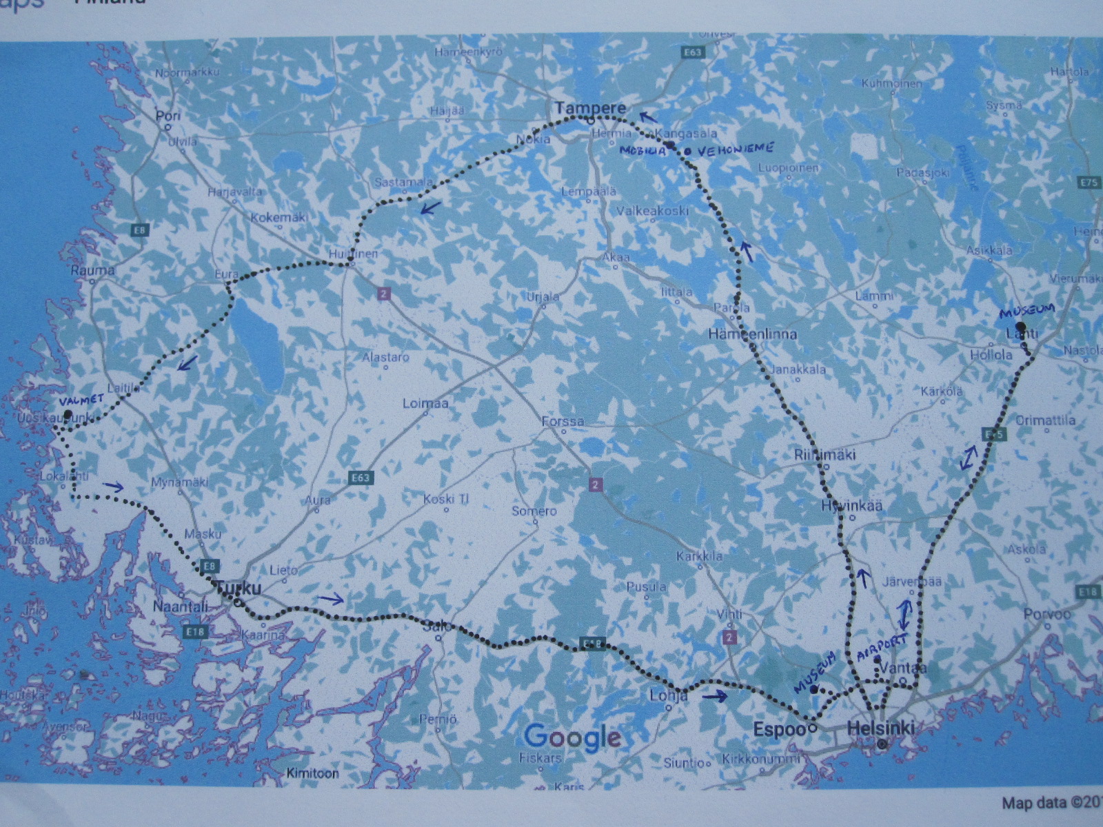 The Finns are mad about cars and mad about museums, so it might be expected that they would be mad about car museums. And they are. During my research for this trip I found records of at least 20 transport museums in Finland, and that is for a population of 5.5 million, less than one tenth of that of Britain. The total time I would be in Finland was five days, which would limit the distance I could travel from Helsinki, and at the beginning of September some places were only open weekends or closed altogether for the winter. Eventually I whittled it down to a list of six good museums that I would be able to get to, and even then it would mean quite a bit of travelling. .
It would be my second visit to Finland, the first being a day trip to Helsinki from Tallinn in Estonia in 2008, reported elsewhere on this site. This time I flew directly from Gatwick with Norwegian, and everything went well until we got off the plane in Helsinki. After walking a very long way we came into the arrivals hall to find a considerable queue which appeared not to be moving at all. Apparently the automatic passport-reading machines had broken down and the few officials present were standing around hoping that they would start working again. After about 15 minutes with an ever-lengthening queue they resorted to good old-fashioned manual processing, and even then they did not exactly rush their backsides off to get people through. Welcome to state-of the art super-efficient Finland.
Nordic style
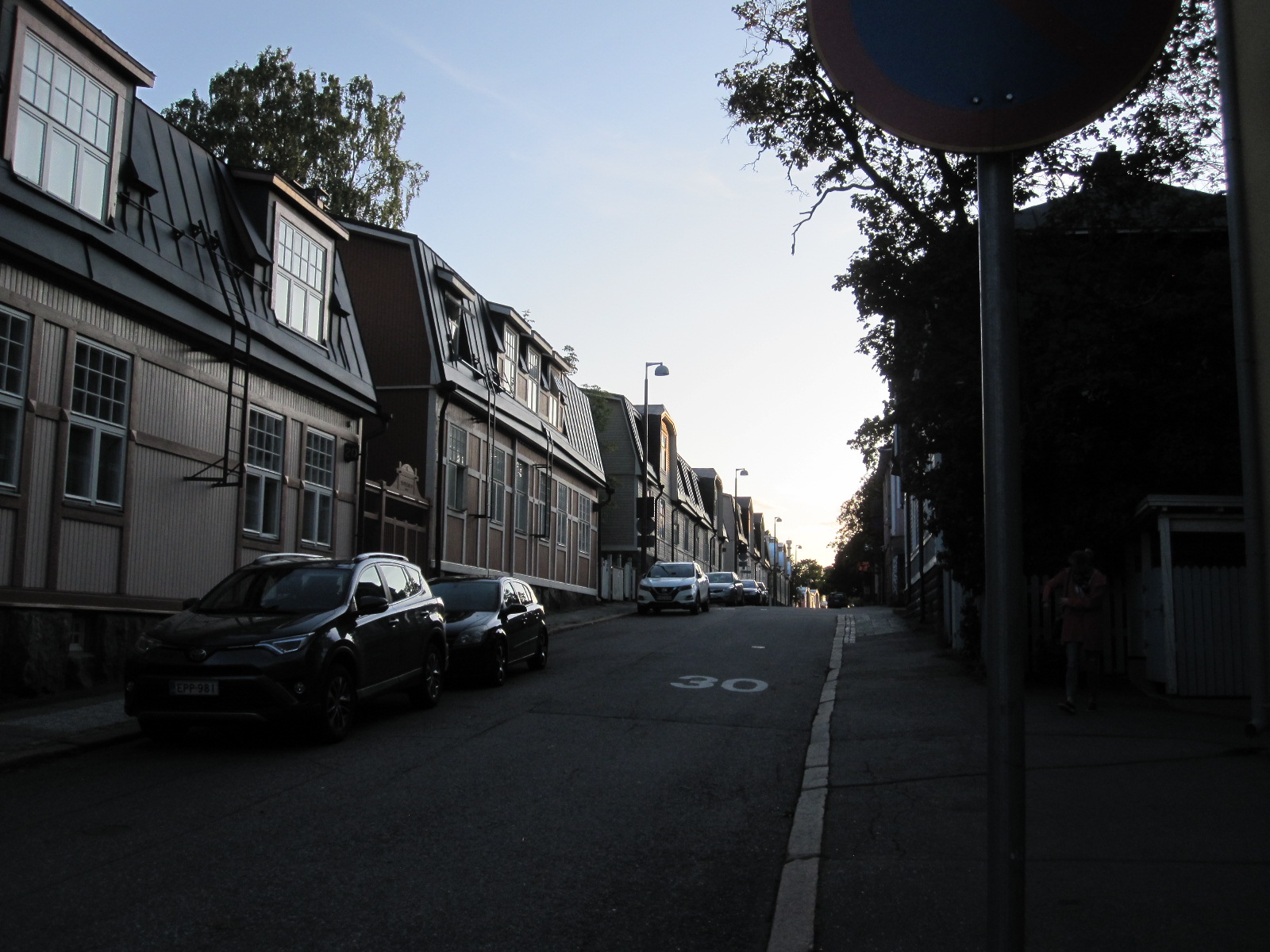
After a well-organised handover of my Opel Astra from Alamo (the car hire firm, not Texas) I drove to the Hotel AVA in the suburbs of Helsinki. The Finnish capital is considerably further north than my home in England, and I thought it might be colder, but it was more or less the same and remained mild throughout my stay. The area around the hotel might be described as a leafy suburb that could be found in most big cities in Europe, with the exception of one side street which was distinctly Scandinavian in character.
The next morning I set off for Espoo Car Museum. Espoo is a town about 12 miles from Helsinki and the museum is north of the centre near a lake. It could hardly not be near a lake because everywhere in Finland is near a lake, the country is totally peppered with them. By one standard of measurement there are 187,888 of them. Southern Finland has few hills of any height because there isn’t enough room for them between the lakes.
The museum opened at 11.00am and I arrived at 10.30, so I had to wait in a nearby field which was empty apart from a man standing by an immaculate Volvo ‘Amazon’ classic car. Unusually he did not speak much English.
The language
Finnish, Swedish, Engish
With native English, fluent German and a fair knowledge of French words (though not how to pronounce them or put them together) I can get by in many European countries, but Finnish is very difficult to read or understand when heard. I told one local man that I could not remember Finnish place names, and he said “Neither can we!” Fortunately most people in Finland speak English, usually extremely well. Most public notices are in Finnish and Swedish, often also in English, but surprisingly some of the museums had little in the way of description apart from Finnish.
Espoo Car Museum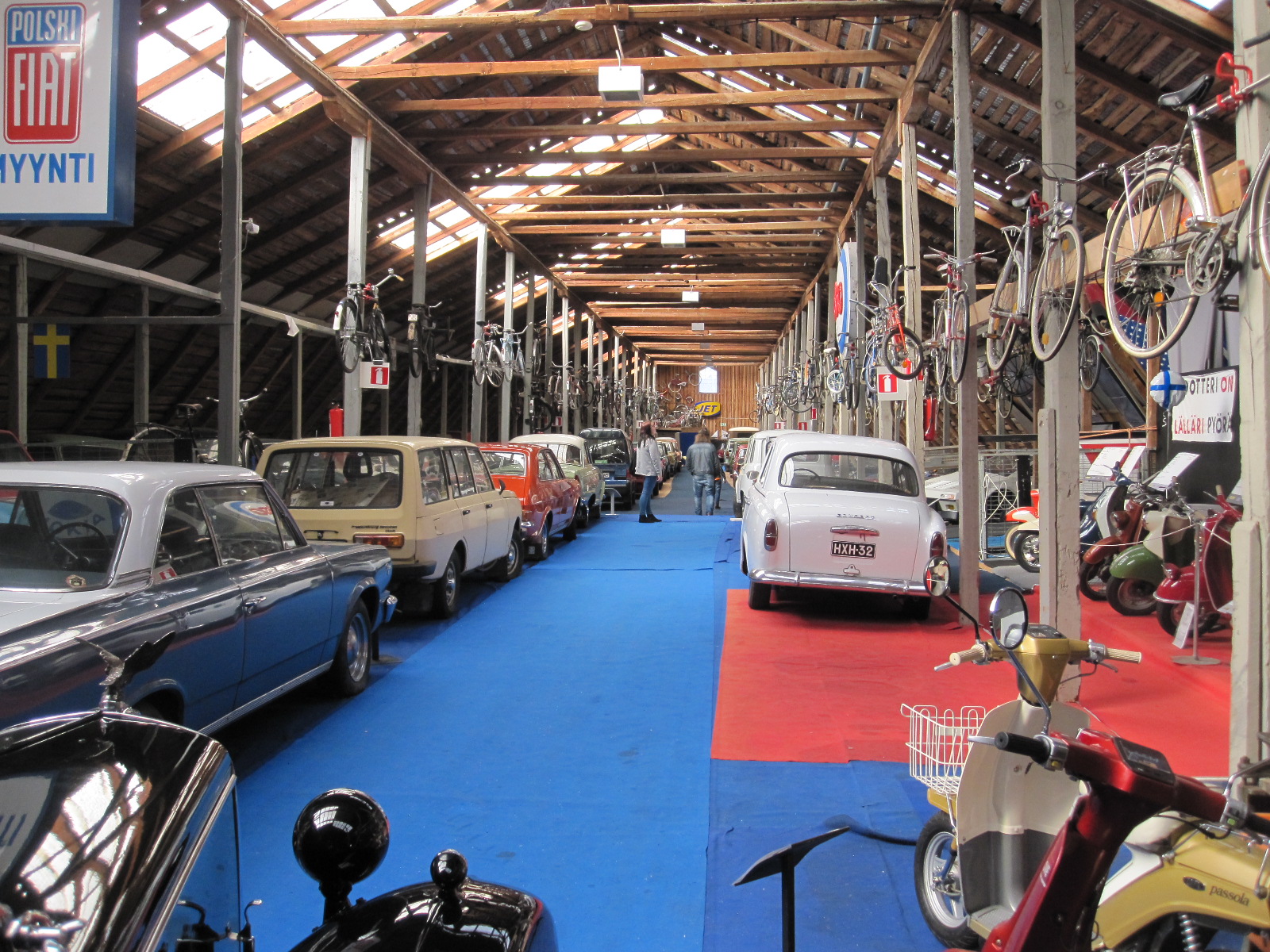
The museum was oustandingly good, and run by very nice people, as most car museums are. An astonishing collection of cars, motorcycles, mopeds, bicycles and a huge amount of automobilia. A considerable proportion of the exhibits were from eastern Europe and as I left the lady in reception gave me a book about the history of the museum. When I drove away there must have been about 70 Volvo Amazons in the adjacent field, with more still arriving. It was Saturday and an example of the strength of the classic car movement in Finland.
To Kangasala
 The two museums at Kangasala were about 100miles from Espoo and I cut across to the E12 motorway towards Tampere and then turned off at Hämeenlinna towards Kangasala. The motorway was quite busy at times and there was some rain, but the driving was generally good, as I had expected it to be. The scenery was pleasant enough, though monotonous as motorways often are.
It was very much back into lake country, and the two museums were not far apart, more or less at opposite ends of a causeway over a lake.
Mobilia Museum
Mobilia closed much earlier than Vehonieme, so I went there first. This was an extremely smart museum, in which you could quite safely eat off the floor instead of the tables in the excellent restaurant should you wish to do so. It had a general section of cars and motorcycles plus a large rally car display, as rallying has a big following in Finland. All the exhibits were immaculate and everything was perfect. There were simulators and educational features that were clearly aimed at families rather than people who enjoy getting their hands dirty.
Vehonieme Car Museum
Vehonimie Musem
Smaller than the previous two, this museum is attached to a café and gift shop and is run by a family with a very long history of involvement with old vehicles. There are some interesting
exhibits and plans for expansion in the future. They also make special short-run 1:43 scale models.
Nokia
As the next stage would be 93 miles I had booked to stay the night at the Hotelli Iisoppi in the centre of a town with a very famous name - Nokia. It appeared to be more like
Nokia
a pub with rooms than a hotel, and to be fair it did say on the reservation form ‘Please note that you might experience some noise from the on-site night club during weekends’. The price was reasonable and there were few if any alternatives in the area anyway. Fortunately after my many visits to American motels I always have ear plugs with me, and I certainly needed them. The noise started at 11.00pm and went on until 4.00am.
In the evening I had a walk around Nokia, which is a fairly characterless industrial town. The company of that name still has connections in the town but its headquarters are in Espoo and it has operations all over the world. Despite recent setbacks it is still by far the largest Finnish company.
More scenic
The next morning I set off for the Uudenkaupungin Automuseo at Uusikkaupunki, so I knew I was definitely in Finland. This was a more scenic route over main roads with little traffic most of the time, despite which the road was being upgraded to dual carriageway for a distance of about 50 miles. In Britain we would think the existing road was more than adequate. There was a vast number of speed cameras, almost of them being recognized by my satnav and in any case I was not driving very fast. Police patrol cars seemed to be non-existent.
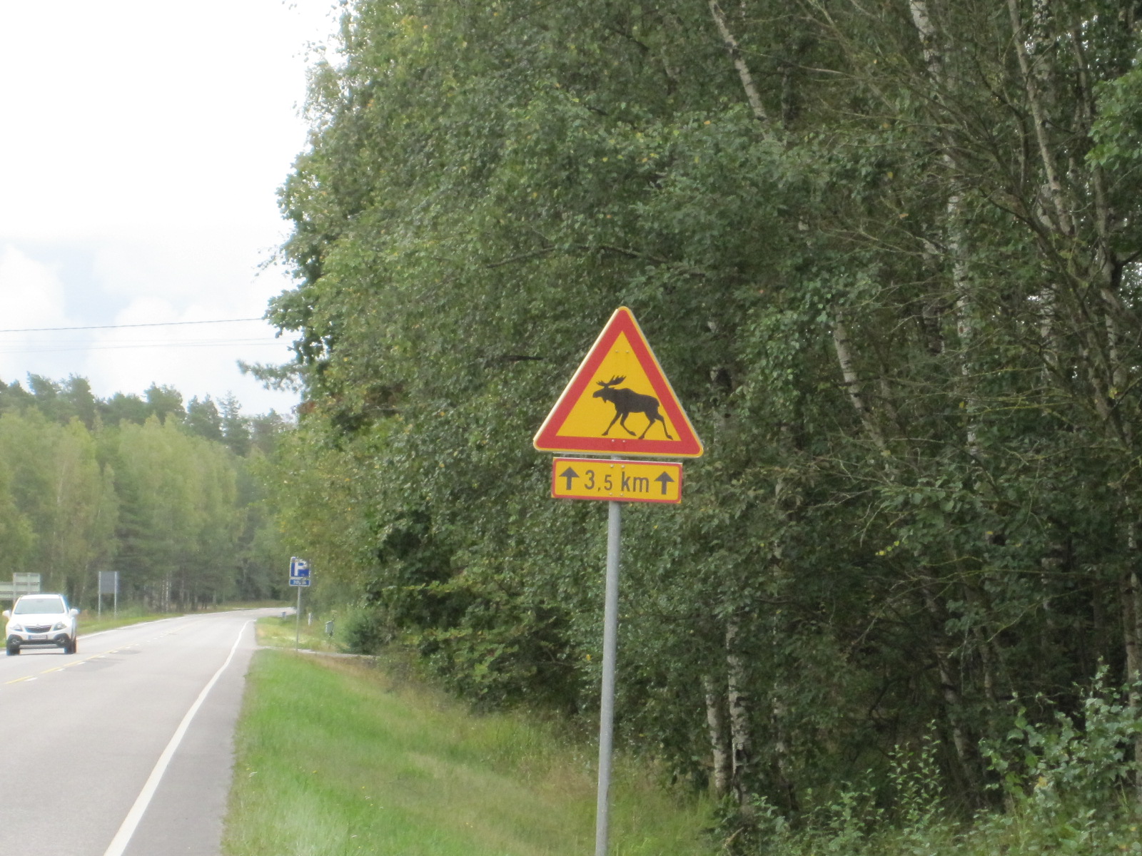
Elk!
A feature of all country roads in Finland is the elk sign, which appears at frequent intervals on the roadside verge. Many years ago the Finns invented the elk test, a swerveability test for cars made famous by the incident in which an original A Series Mercedes fell over containing several journalists, but hitting an elk is definitely something to be avoided. I saw a large number of signs but no elk.
Uudenkaupungin Car Museum
Uusikaupunki is a small place on the west coast and home of another large company called Valmet as well as the museum. Valmet employs about 6000 people, engaged in sub-contract vehicle development and manufacture for Mercedes-Benz, Porsche, Ford, Opel and in the past Saab together with several other firms.
Saabs
Adjacent to the factory is the Uudenkaupungin museum, which is divided into three sections. The first is a general car and motorcycle collection of a high standard. Then there is the Saab hall, with about 40 cars covering everything from the original 92 through to the GM based models, including a considerable number of rally cars and three Sonnetts. Finally there is a hall for other vehicles and engines made by Valmet. These include an early hybrid electric car called the Fisker Karma made for an American rival to Tesla. About 2000 were produced by Valmet. Also on show is a one-off concept car in the form of a 6-door stretched Talbot Horizon called the Horizonzon, so somebody in the company has a sense of humour. At the time of my visit I was the only person looking round.
Turku
Coastal inlet
From Valmet I followed the roads close to the coast down to Turku, a large town, noted for its attractive river frontage, harbour and castle. Because I was not sure how my schedule would go I had not booked a hotel in advance, but had noted details of one that looked suitable.
The street that the hotel was in was easy to find but very long, with the number of the hotel at the far end. As I approached the place where it was supposed to be I realized that this was not the best part of town, practically every building having the word SEX on it in some form or other.
Hotel Helmi
Few of the buildings were numbered and I could not locate the hotel, so I parked and walked around to look for it. The street opened up into a square with a big hotel called Helmi on the right hand side, so I decided to see if they had any rooms, which they did but at a higher price than I wanted to pay.
After wandering about for a while and not finding any alternative I threw caution to the winds, booked into the Helmi and went out to find a restaurant. About 50 yards away was a Hesburger, the Finnish rival to McDonalds which can be found at frequent intervals in every town. I always say you can judge the quality of local cuisine anywhere by the number of McDonalds, and in Finland McDonalds have been firmly trounced by Hesburger, which must say something. Anyway, as it was raining hard I went to the Red Chopsticks facing my room at the back of the hotel.
The list of car museums included one called TS Auto Museum on an industrial estate on the north side of Turku, so that was my target the next morning. When I got to the address it appeared to be a derelict factory, and I was sitting in the empty car park deciding what to do when I realised that the Vikings had landed, or at least one of them had. Standing about 50 yards away was a tall young man with light ginger hair and a beard. He was wearing work clothes with an array of mechanic's tools on a belt round his waist. When I asked him if he spoke English he said "A little", but then, as I recollect from school history lessons, on their first visit to England they didn't bother much about languages. They just ran around waving axes and snatched our women. Anyway, he spoke enough to assure me that the car museum had definitely gone.
On the opposite side of the road was a warehouse-type building with several names on it, including MOTONET. It appeared to be something like a larger version of Halfords, and I thought it might be interesting. Within a short time of passing through the door I realised that this was THE BEST SHOP IN THE WORLD. It was not for the man I really am, but for the man I would like to be.
It had everything to do with action, adventure, and the great outdoors, surpassing anything I had seen in the USA, Canada, or anywhere else. Loads of car, motorcycle, huntin,', shootin', fishin' as well as mundane DIY stuff.
Bending down sorting things on the bottom shelf was a young lady with long blonde hair flowing over her shoulders. I asked her where to find something, and she told me in excellent English. She then stood up to her full height of about 6ft 2 in. Was she the sister or wife of the man in the car park? This shop had everything a man could hope for, but in my case, at 81 years old and 5ft 7in, I didn't think I was in with much of a chance.
 As I had plenty of time I went back into Turku and parked near the river,
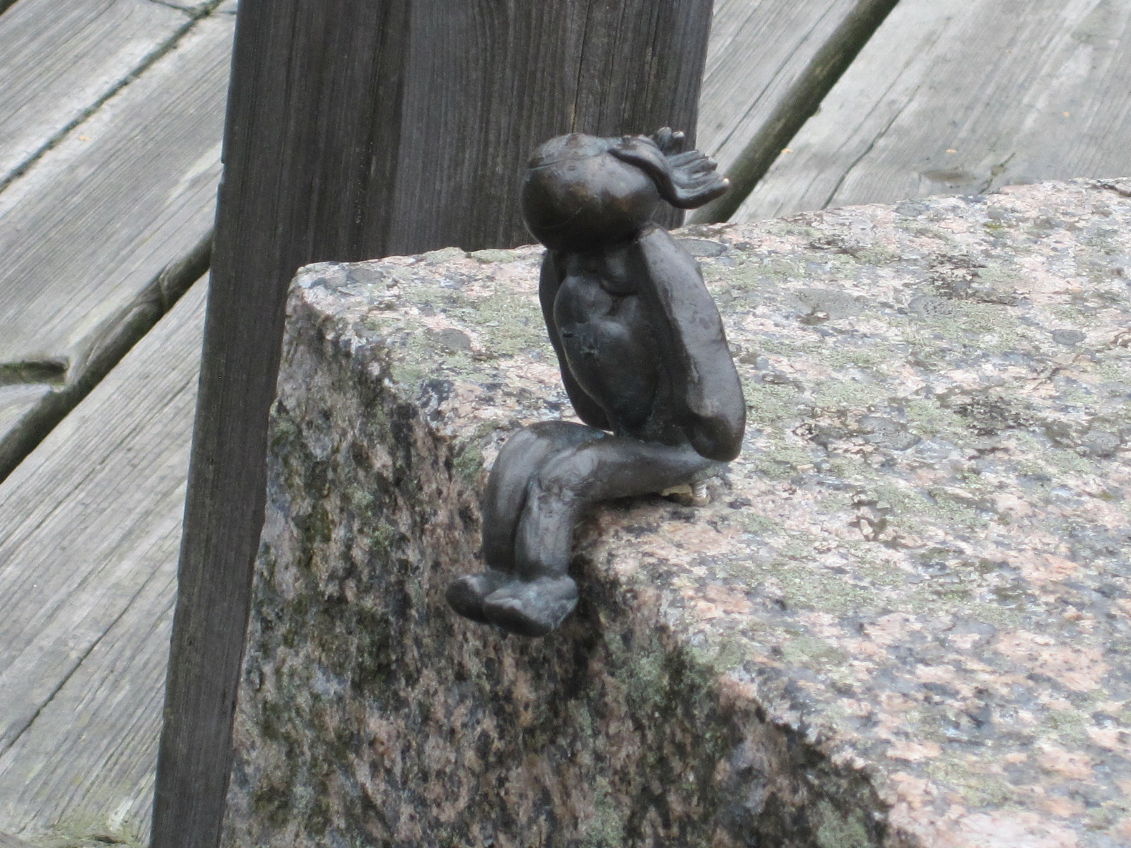
 close to the entrance to a marine attraction called Forum Marinum, a riverside museum partly indoors and partly open-air. One of the main features was a large sailing ship undergoing restoration, although it looked pretty immaculate to me. For a short distance I walked along the quayside towards the town centre and came across some tiny bronze figures firmly attached to the concrete. There was no explanation for them.
 A path parallel to the river in the opposite direction led to the castle, which was closed on that day. It was an extremely Nordic structure, like three narrow towers joined together facing a courtyard with white buildings along both sides.
I think there was much more to Turku than I saw, but it was time to move on because I had to get to Lahti, a city about 144 miles away, the other side of Helsinki. It was an unpleasant motorway journey,with heavy traffic for a long way round Helsinki, and maybe it would have been better if I had cut across country. On the approach to Lahti there were many out-of-town shops and a fair amount of industry. Again, I did not have a hotel reserved, but had one noted down called the GreenStar and came across it quite by accident on the way into the centre.
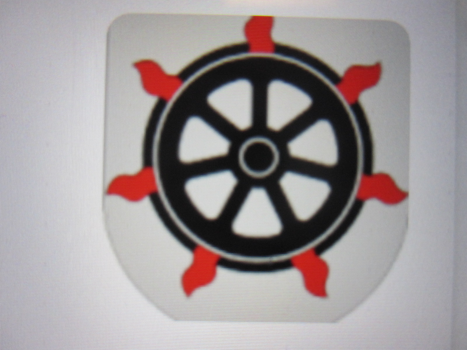
Lahti coat of arms
Once sorted, I walked into the centre for a meal and look round. Lahti is the regional capital and has a rather unusual coat of arms in the form of a train wheel surrounded by flames. This may be because in the 1870s it was an important railway terminal and was almost totally destroyed by fire in 1877. Or perhaps the Finns just think up coats of arms like that during the long cold winters.
Lahti Market Square
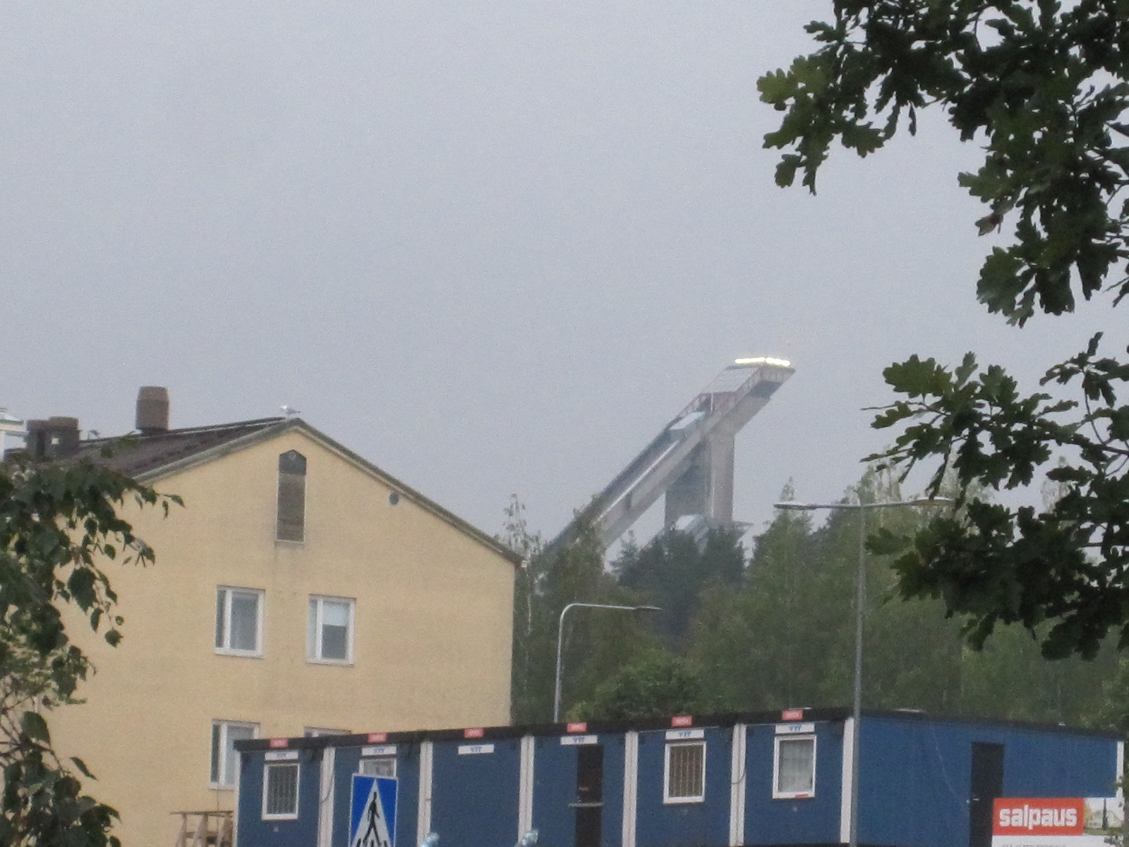
The city is situated at the end of Finland’s second largest lake with a bay that reaches almost into the centre. The lake itself has about 1900 islands, and is linked to the main streets by a park with fountains and a pleasant market square. Towering above the suburbs is the ski jump, which has been used for world championships.
Suomen Moottoripyörämuseo

Museum
The reason for going to Lahti was the Finnish Motorcycle Museum which I visited the next morning and was greeted by the friendly owner who had just returned from the annual Ace Café event in Brighton. His museum is affiliated to the Ace Café in London and has an excellent collection of motorcycles from all over Europe and America. In an adjacent building were about 40 motorcycles that he had recently bought from another collector in Finland, and he let me wander around in there. ‘About 40’ was the right description, because a large proportion of them were dismantled and spread around on the floor. He also had a London Routemaster bus for bringing people from the town in the summer.
It was time to go to the airport for my return flight home. On the way I stopped at a big shopping centre for a snack and a look round IKEA, which unsurprisingly was just like the ones in England.
Filling the car with fuel and returning it to Alamo turned into a nightmare, because although I had detailed instructions I got hopelessly lost in the airport, which is amazingly large. It seems to be quite modern, with two terminal buildings joined end-to-end, but I thought it was very poorly designed. It entails a large amount of walking at the end of which you still have to get on a bus to the plane. Gatwick might be dreadful, but at least the long walks usually take you right to the plane. Also, the seating arrangements in the departure lounge were poor, with too few seats, and those were like badly shaped hard benches. How this can be in a country which is famed for its furniture designs I do not know.
In four complete days I visited five museums and drove 600 miles, so I did not have a lot of time for general tourist activities, but I was rather disappointed with the architecture that I saw. Helsinki has many beautiful buildings old and new, but elsewhere a large proportion of buildings are just rectangular blocks with, to my mind, no architectural merit.
To anyone coming from pre-Brexit Britain Finland is incredibly expensive, many things costing at least fifty per cent more than at home. One favourable aspect is that virtually everyone is friendly and welcoming.
Lahti fountains
Lahti ski jump
Turku bronze figure
Belarus 2019
CLICK ON PICTURES TO ENLARGE
Belarus 2019
 Not many British people go to Belarus. There are no cheap air fares and it is not noted for beautiful scenery, good climate or any other particular attractions. It was part of the Soviet Union until 1991, and is considered to have retained many of the trappings of its Communist past. Essentially a single-party state, it has had the same leader since 1994 and is often regarded as Europe’s last dictatorship. The lack of democratic process and retention of the death penalty are frowned upon by the EU.
Until recently visitors from the Western world were deterred by the requirement for a visa which involved the same convoluted procedure as for Russia, but since 2018 it has become easier and at the time of my visit citizens of the EU and many other countries could stay for 30 days without a visa as long as they entered and departed via Minsk Airport. It was still necessary to register with the authorities within five days of arrival, but that would normally be done by your hotel, if you were staying in one. The entry requirements appear to be getting easier all the time.
There were various sources of information about Belarus on the internet, but only one proper dedicated guide book in English, published by Bradt, a company which specialises in guides to less popular destinations. The one for Belarus is really excellent, written by a British man with a long-standing association with the country.
The British Foreign Office provides quite a lot of advice for visitors, including:
Medical insurance is essential, because medical services are of a lower standard than in Britain.
There is little crime, but you should be vigilant against pickpockets etc.
Don't take photographs of government buildings, military installations or officials in uniform.
Don’t drink tap water without boiling first. Bottled water is advised.
Avoid consuming local produce in the area close to Chernobyl in Ukraine.
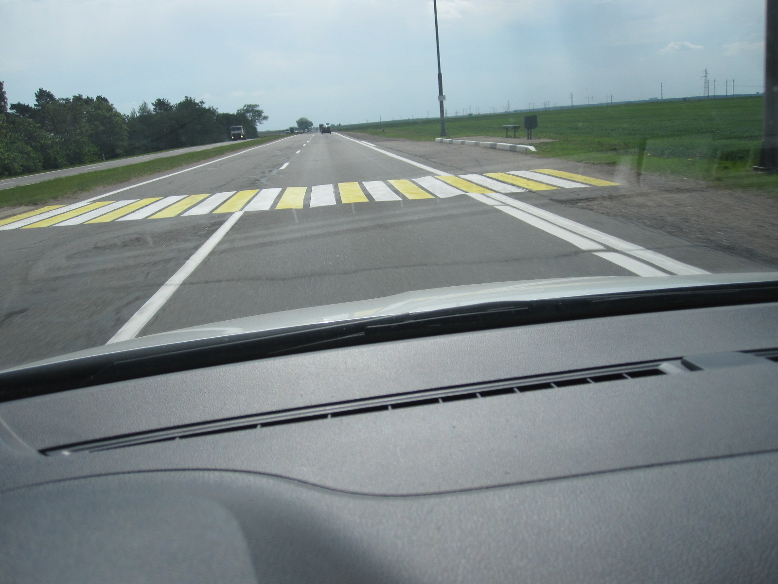
Main roads are generally in reasonable condition, but side roads are often very poor. Police check points on roads are common.
Jaywalking is regarded as a serious matter.
As always, my intention was to hire a car and drive around, finding hotels as I went apart from the first three nights, which were booked on the internet in advance. As I have driven in Russia and about 45 other countries I was not expecting the driving to be a problem, excepting possibly for the language.
Languages and finding the way
The official languages are Russian and Belarusian, which have equal status in law, although everyone can speak Russian whereas Belarusian is less widely spoken but gaining in popularity. The two languages are similar in many respects, both using the Cyrillic character set with slight differences, and they sound the same to most foreigners. English is taught in schools as a second language, but in practice, as I quickly discovered, few people can actually speak it and it almost never appears on road signs. There is generally little English or Latin script around other than for the names of businesses and products, such as McDonalds, Burger King, Skoda and BMW.
Before going I spent some time brushing up on my knowledge of the Cyrillic characters so that I could at least recognise place names on signs, because that is really essential if you are driving.
For route planning and navigation I had a paper map 1:750000 (approx.. 10 miles to 1 inch) with place names in English, HERE maps and MapsMe in my tablet, plus HERE maps in my phone. I also had my own TomTom into which I had put a map of Eastern Europe including Belarus, but that proved to be a problem, because it completely failed to recognise the place names as they were shown on the paper map. The only way round this was to scroll around the base map in the TomTom (which is possible on recent ones) until I found the place I wanted, write down the spelling and enter that on the TomTom keyboard.
Just to give an example of the situation as it applied to the name of one town.
Typical motorway sign
Paper map: ASIPOVICY
HERE maps in tablet and phone: ASIPOVITSKI
TomTom: OSIPOVICHI
Roadside signs: АCІПОВІЧЫ
Obviously the roadside signs are the most important and that is why it is essential to learn the Cyrillic characters. You could say that a similar situation applies in countries like Japan, Taiwan, Greece, Georgia, Israel and Morocco, but at least in those countries main roads are often signposted in English as well as the local language, whereas in Belarus they are not.
Unexpected perfection
In view of the foregoing I had very little idea what to expect when I arrived in Minsk. The flight was three hours from Gatwick with Belavia, the Belarusian national airline, in a Brazilian-built Embraer 195 which looked as if had just left the factory. The food was not entirely to my taste, but otherwise everything was very good and few of the 100 or so seats were unoccupied.
At immigration I was asked for proof of medical insurance, although I am fairly sure that the officer could not read the documents, and she wanted to know where I was staying. The next thing was to get some Belarusian roubles, because as the rouble is a closed currency it cannot be bought or sold outside the country. Of the three bank counters at the airport, only one was open when I arrived, but I was quickly able to get some cash in exchange for GBP.
The first night was to be at the Green Park Hotel about 5 miles from the airport, and the driver of the hotel minibus, which looked as if it had just left the factory, was waiting for me in the arrivals hall. Ideally I would have picked up my hire car straight away, but all the hire car desks closed at 7pm and the plane came in at 7.15.
Hockey Model
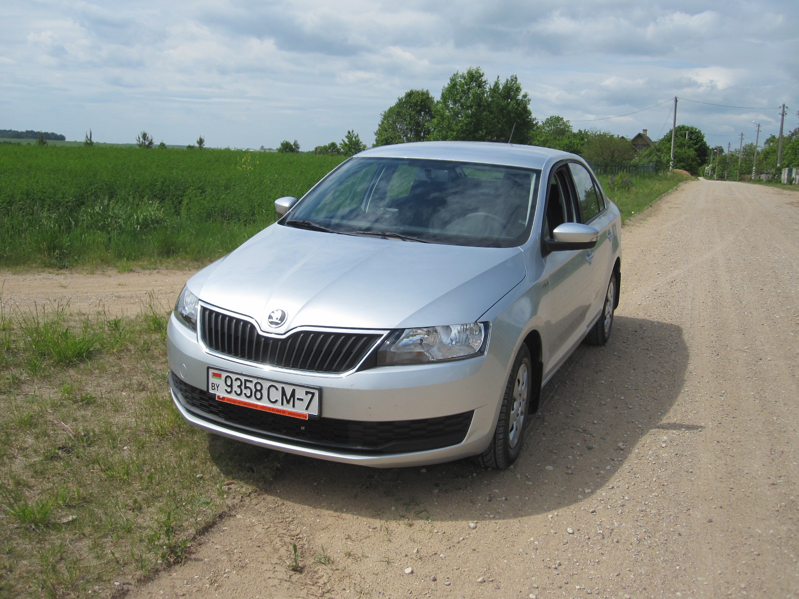
The hotel was modern and had extremely few guests, but was able to produce a meal for me,which was fortunate because there was nowhere else for miles around. The next morning the minibus took me back to the airport to get the car, a Skoda Rapid (Hockey Model!), which was perfect with 2000km on the clock and looked as if it had just left the factory.
All this perfection was a considerable surprise, because I had expected Belarus to be rather run down. At the airport I had my first and only contact with the police when they came alongside and told me to move on while I was setting up my satnav. They were less aggressive than the ones in Georgia.
Slightly off the beaten track
As always, I was hoping to find some classic car museums, and had the details of one in a folk museum in a place called Dudutki that I could get to on the way to Minsk, which is about 25 miles from the airport.
Everything went well to start with. The TomTom took me on well-surfaced main roads with little traffic for a long way and then a few miles on a motorway with astonishingly heavy traffic, apparently coming out of Minsk on the Saturday morning. After a while it directed me to take another single carriageway and then told me to turn left on to a wide gravel road through a village. This went on for two or three miles, and just as I was beginning to wonder whether it was right it turned back into tarmac for some distance until it came to junction of three gravel roads. It told me to take the one straight ahead, which was clearly in a very bad state and not passable with an ordinary car.
I looked at the map in the tablet and saw that I was on the edge of a fine network of roads which were obviously a settlement of some sort and it was only about a mile to the main road that went past Dudutki. If I turned right it appeared that I could get through the network to that road.
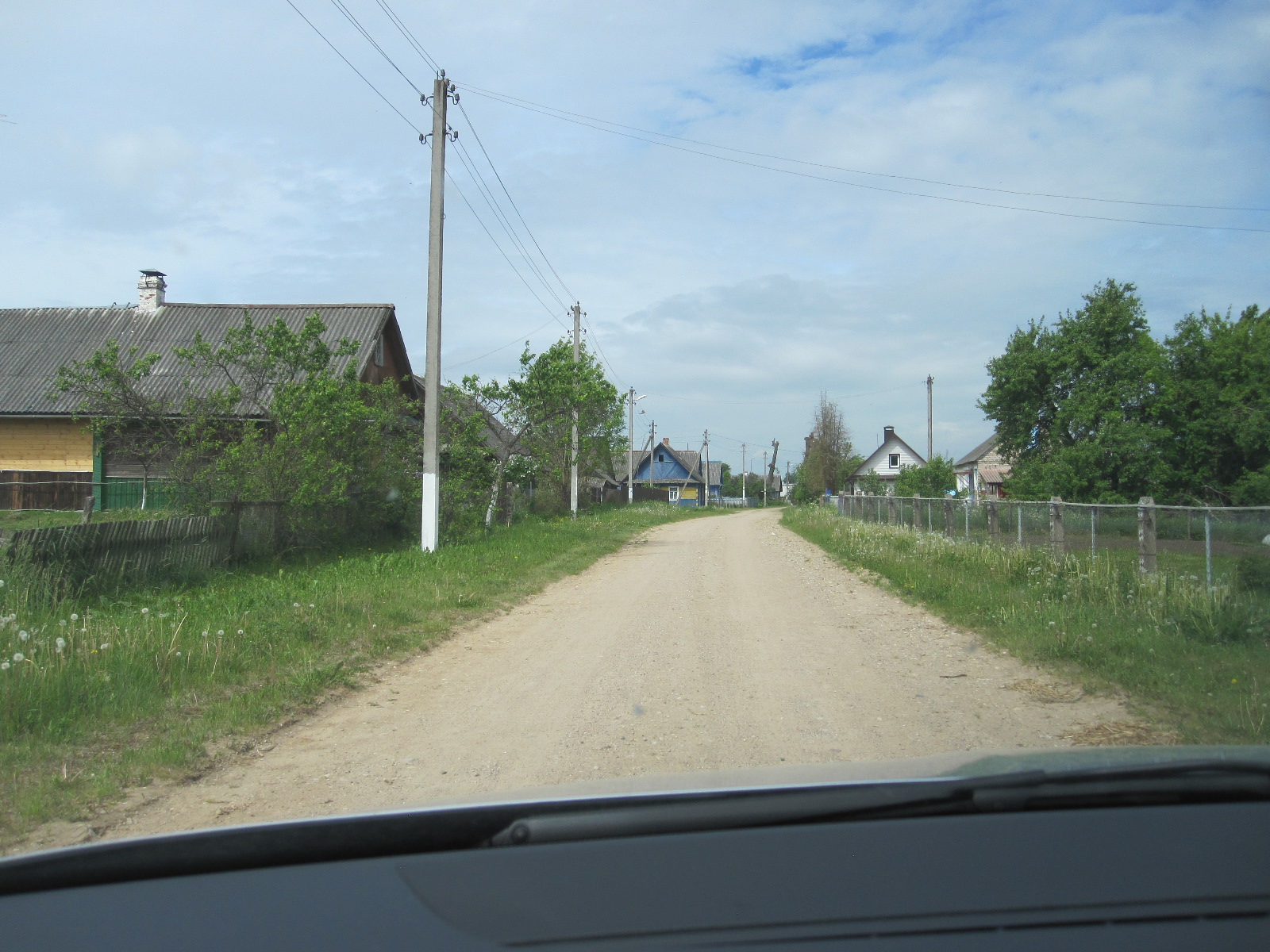
The roads in the network were actually narrow grass tracks running between plots of land with dachas (detached houses, usually made of wood) on them. In Russia it has long been the custom for city dwellers to have such houses in the countryside to which they can retreat in the summer and it seemed that I had stumbled across a large complex of similar properties in Belarus. For some distance I carried on along the track, which was very bumpy and only about ten feet wide until it turned right again, still running past houses with no one in sight to ask for directions.
At last, signs of life. On the left hand side of the track a man was shovelling straw. When I pulled alongside him he looked at me, smiled with his two or three teeth, and it was immediately clear that there was no possibility of meaningful conversation. I continued lurching slowly along past several overgrown junctions for a while, and then saw that the road was dwindling away to nothing not far ahead.
End of road
I just sat there wondering how on earth, within an hour of leaving the airport, I had finished up in this predicament. On the map in my tablet I could see where I was, but it was impossible to know which of the vast network of narrow rough tracks made up a viable route to the outside world.
The only immediate course of action was to reverse about 300 yards until I came to a junction with a track that appeared to be clear for some distance. It was difficult even to get into it, but just as I did a sane-looking man appeared from a garden. When I asked him if he spoke English he shook his head and said “Deutsch”? I changed to German, but his knowledge of that language was no better than his English. He went into his garden and came back with a young man of about 20, presumably his son, pointed to him and said “English”. The lad said “Little” and it quickly
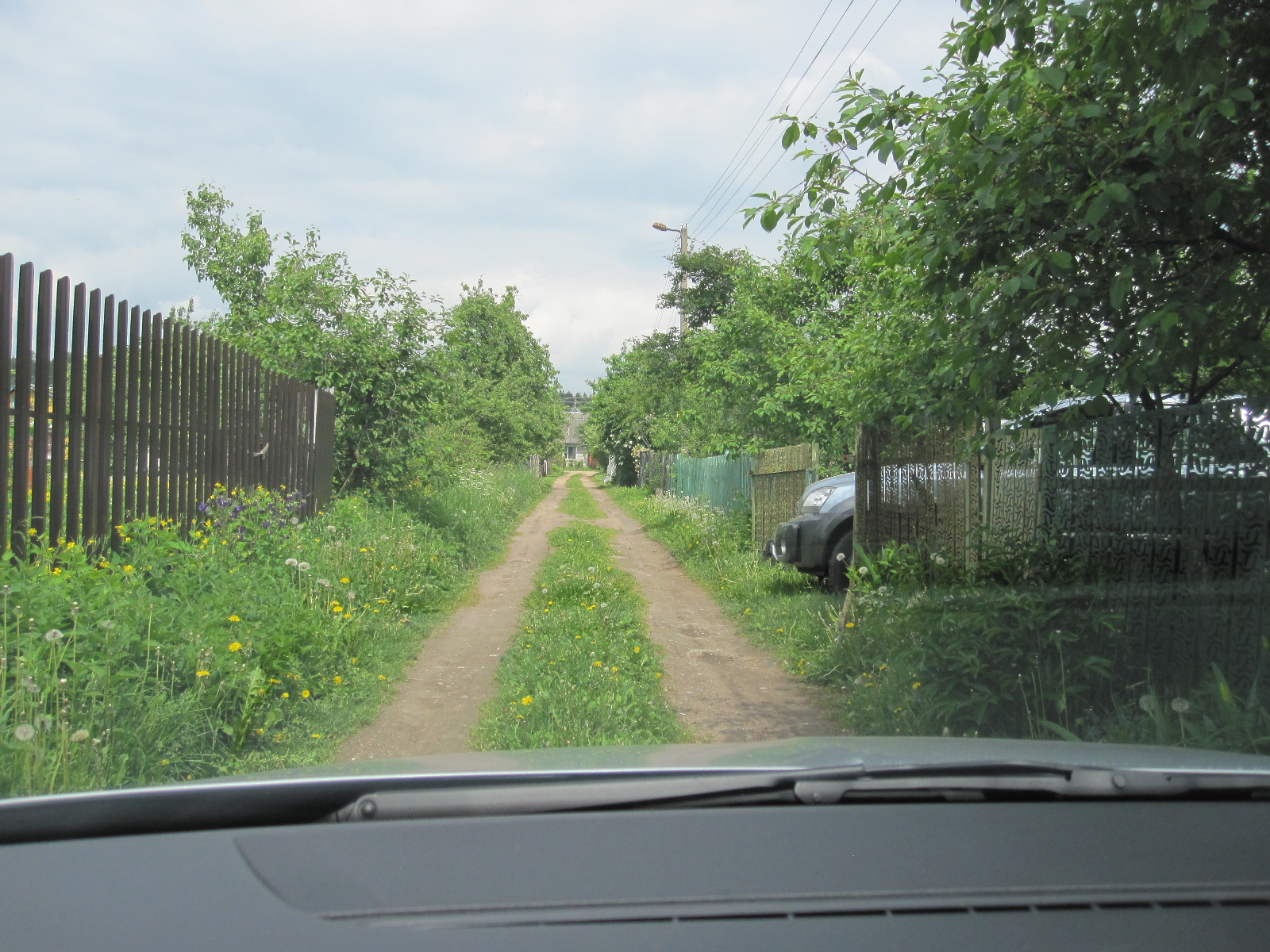
Way out
became apparent that that was indeed the case. However, I showed them the map on my tablet and where I wanted to go. The older man said “Google maps?” Now we were getting somewhere. They took the tablet and were obviously familiar with such things. The lad pointed along the track, said “Forest” and indicated that I should turn right at the forest. He then showed me which roads to take on the map, and I eventually got through to the main road and Dudutki with the car unscathed, rather surprisingly.
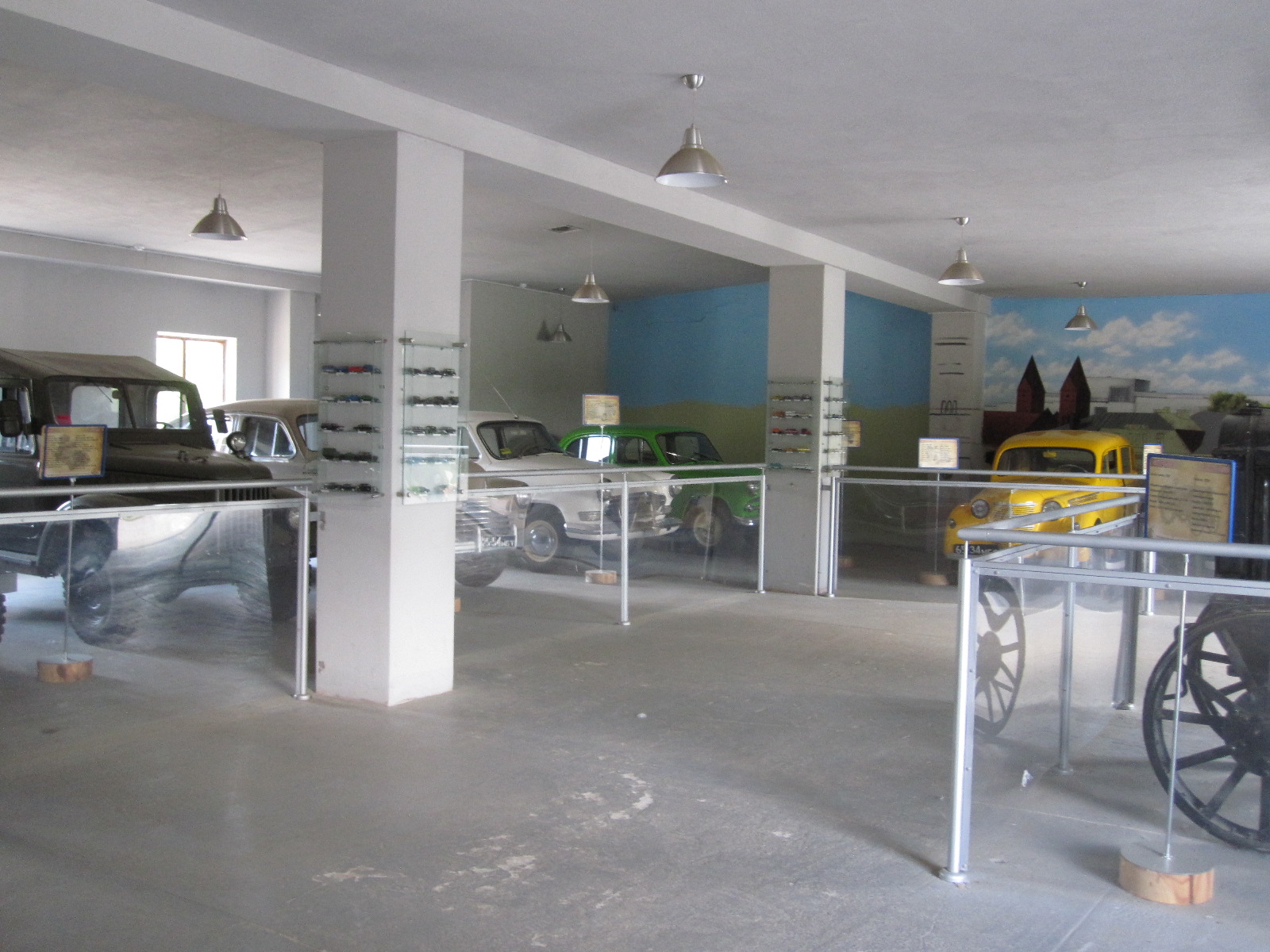
Car museum
The folk museum was firmly aimed at family entertainment as well as education, with several coaches and a good number of cars in the car park. There were lots of animals and birds with workshops and displays of traditional country crafts. The classic vehicle section was small, involving mainly cars from the Soviet era as I expected, and not really worth the foregoing trauma.
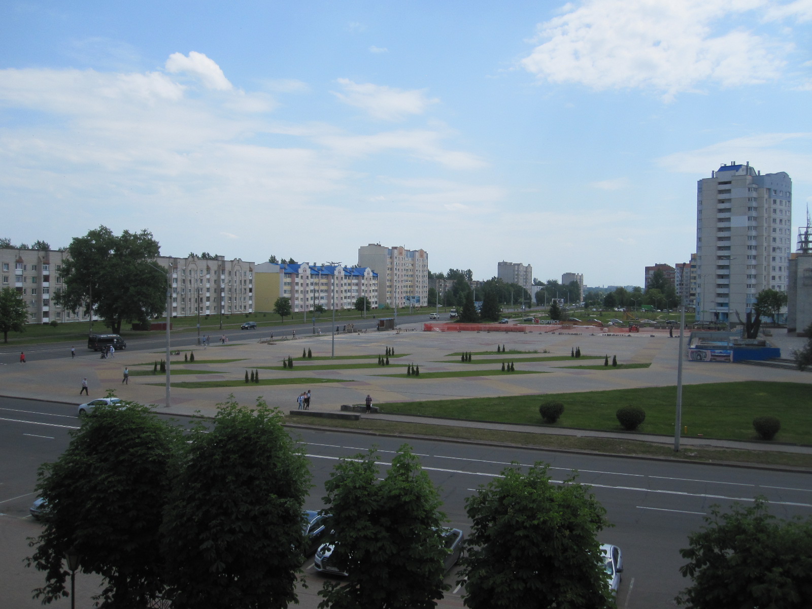
Minsk
It was time to push on into Minsk, a city of 2 million people, which the TomTom managed to find without too much trouble. From what I had read I was under the impression that the streets of Minsk had little traffic, but that was certainly not the case. It was late Saturday afternoon and quite busy, although there were no real traffic jams. The standard of driving was very much better than I expected and certainly better than in most west European capital cities.
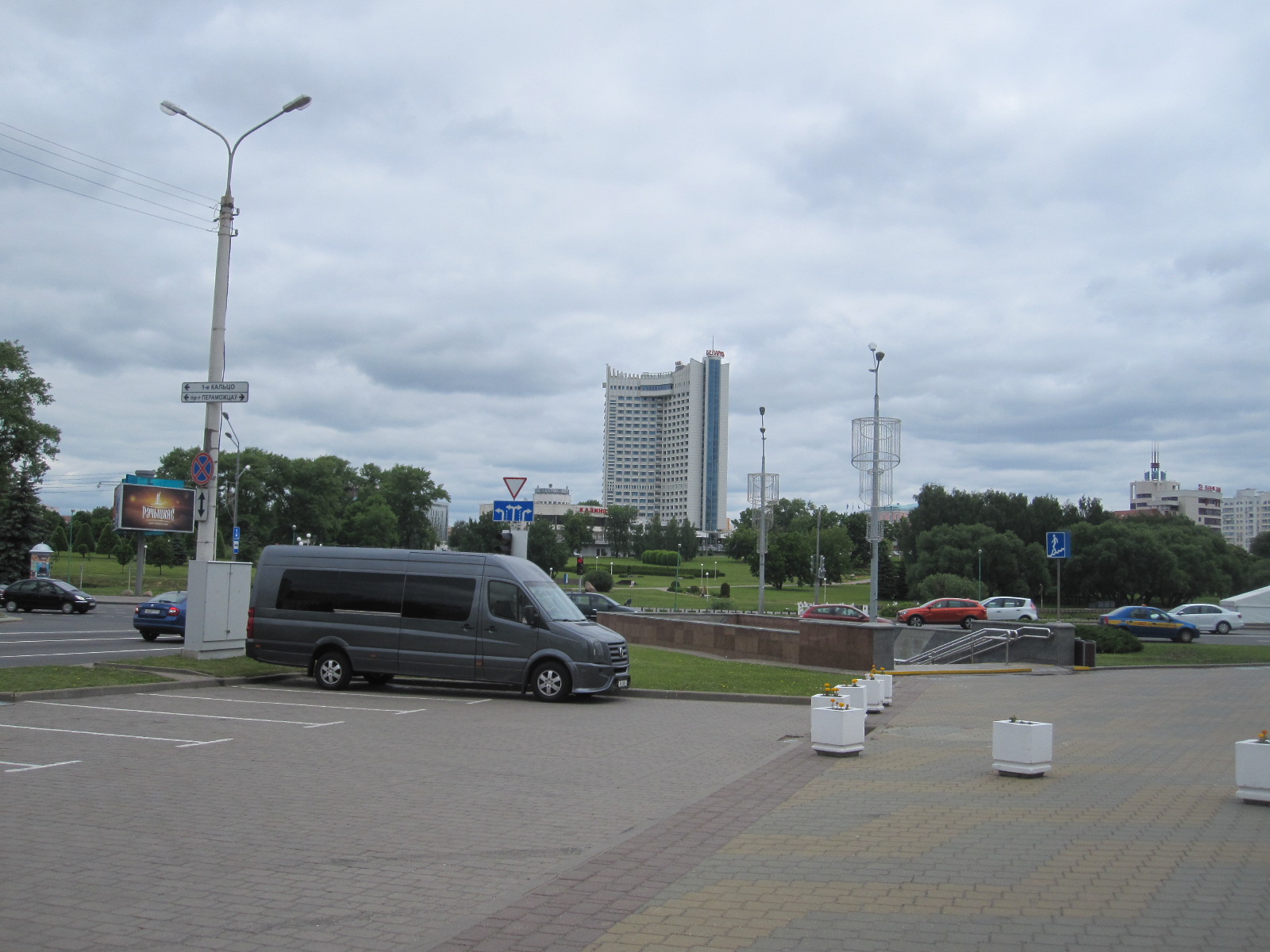
Belarus Hotel
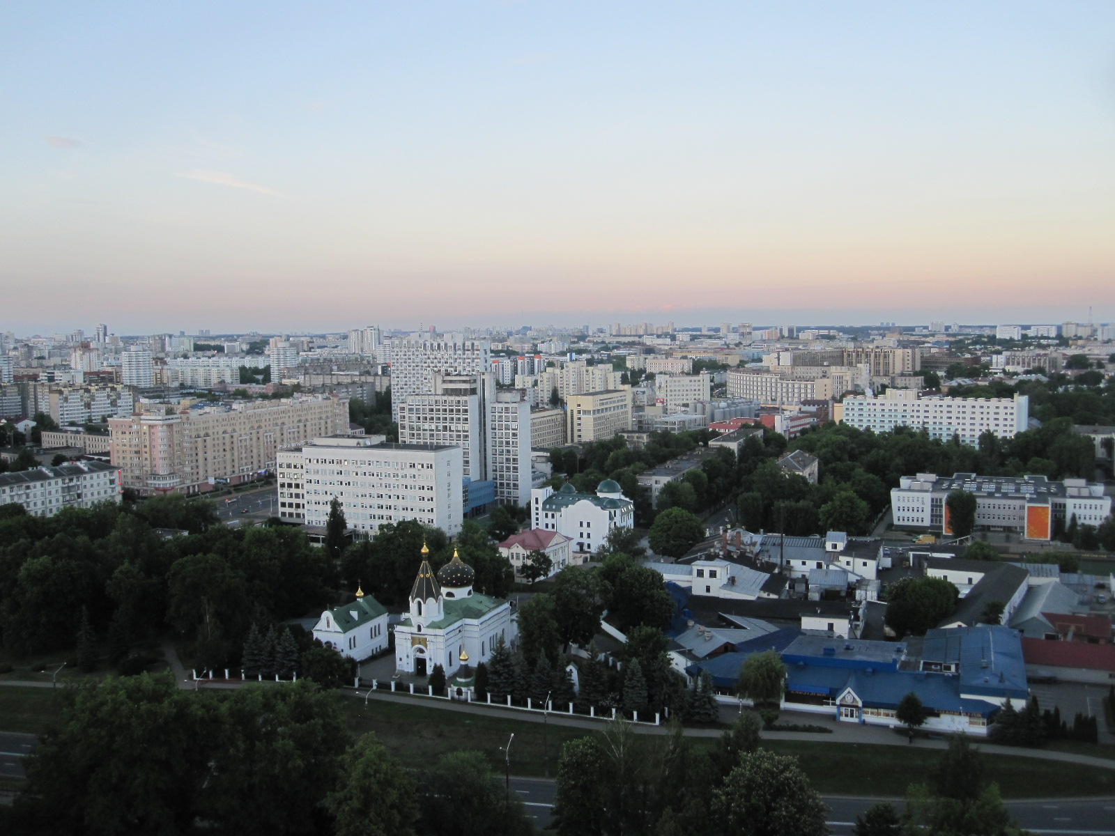
Unusually, I had booked one of the better hotels in town with the inspiring name of Belarus Hotel, a 23-storey skyscraper on high ground, which made it very easy to find. It had an excellent guarded car park into which I was allowed without question, contrary to my experience in Russia.
Luckily I just managed to beat a coach party to the reception desk, and was given a good room on the 7th floor with a wide open view that could
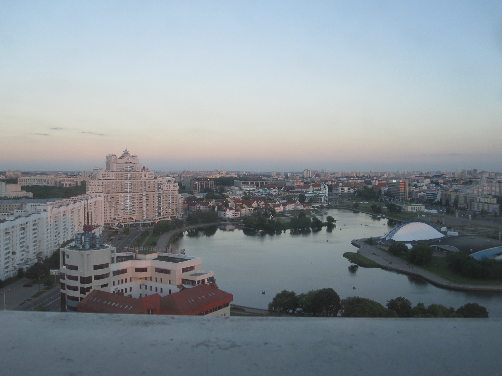
View from room
best be described as surreal. The hotel was effectively in a park with a river running through it, and along one side were white-painted buildings in what might be seen as a Flemish style. On the other side of the park were mostly modern buildings, including a couple with big bright screens on them showing advertisements. This was not at all what I had expected in Belarus.
Once sorted I walked down to the city centre to get something to eat. It was a lively Saturday evening scene, with many young people enjoying themselves seemingly oblivious to the dictatorship or the death penalty. Apart from the ones who had moved me on at the airport I don’t think I had seen any police. Nevertheless, I was careful to stand in line with everyone else at the pedestrian crossings until the green man came on, and absolutely no one jaywalked. Perhaps that is where the death penalty comes in.
View from high floor
After a wander round and a meal at a well-known American fast food place (shocking!) I returned to the Belarus Hotel and took the opportunity to climb to the higher floors and take in the expansive view across the city in all directions.
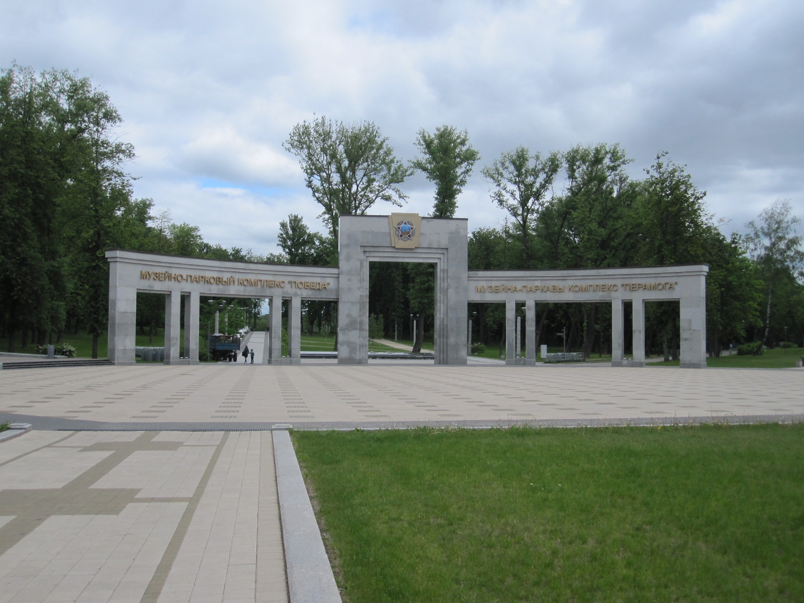
Some of the most prominent buildings within easy walking distance of the hotel were the Great Patriotic War Museum and the nearby Triumphant Arch in Victory Park, both listed as top sights for visitors, so that is where I aimed for after breakfast the next morning. Belarus suffered dreadfully from the advance of the Germans into Russia and their subsequent forced retreat in World War II, known locally as the Great Patriotic War, with appalling atrocities resulting in the death of one third of the population. Every town and village has its war memorial, often in the form of abandoned tanks or field guns, and there are said to be over 9000 monuments dedicated to the tragic events.
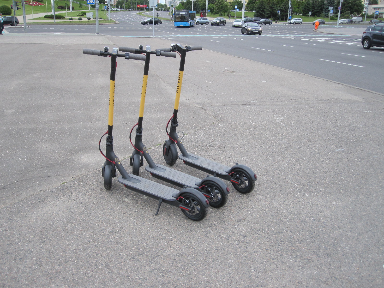
Electric scooters
On the way across the park I was astonished to find three “dockless” electric scooters of the type that have been in the news for causing problems in recent times in Los Angeles, Paris and many other cities around the world. They are illegal in Britain at the time of writing and I had never seen them before. They were standing with practically no one in sight, just waiting for someone to come along and hire them using a smartphone. I fiddled about trying to make them go, with no success, and resolved to find someone who could explain how the use them if the opportunity arose.
Triumphant Arch
I took some photos of the Arch and went on to the museum, where a lot of soldiers were waiting outside, presumably intending to visit. Bearing in mind that Belarus (as Bylorrussia) was part of the USSR at the time it is not surprising that the majority of the tanks, weapons, planes and other exhibits were Russian, and everything was labelled in that language. There are several halls with a vast number of exhibits, including recreations of battle scenes to help to bring home the horrors of the event and also sections containing records and documentation. Adjoining the
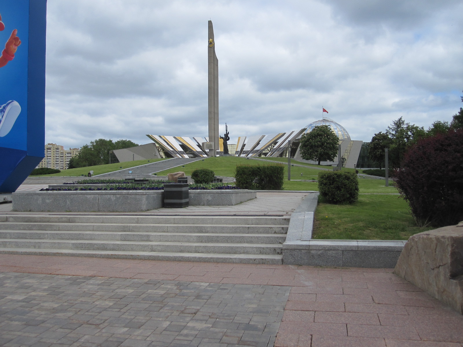
Hero City
museum building is the spectacular Minsk Hero City sculpture consisting of a 45m high stainless steel obelisk surrounded by eleven sparkling ‘rays’ to represent the 1100 days of occupation during the war.
On leaving the museum I discovered a surprising concession to tourism in the form of a row of ‘fun vehicles’ on a large paved area. Among them were the aforementioned electric scooters, some strange fat-tyred scooters, Segways and quad bikes, all electric and made in China. All these manifestations of the Devil would be totally illegal on public land in Britain, but in Minsk they could be hired by anyone over a certain age. Needless to say I could
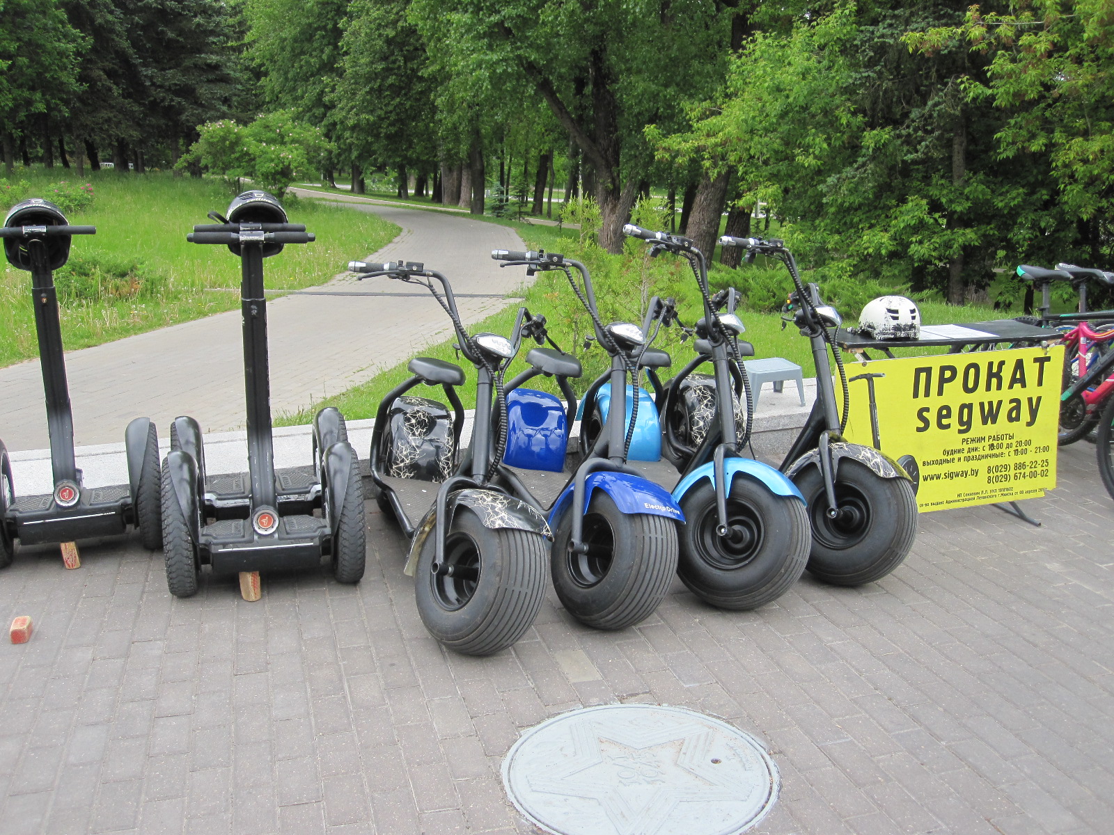
Fun machines
not resist trying one of the fat-tyred machines at about £2 for five minutes. The man in charge did not ask my age and there were no checks for sanity. During my demonstration ride I was watched by about 30 soldiers who amazingly did not jeer, but perhaps there was an officer present.
As I set off to walk into the town the soldiers went past in a long line, so I tacked onto the end while they were waiting to cross the road, just to get a feel for being in the Belarusian army.
On the way into town I was just passing a multi-storey shopping mall that would have been considered smart by any standards when two men and a woman all aged about 30 came sweeping up on the little electric scooters and stopped in front of me. I heard one of the men speak, and I said “Oh, do you speak English”. He said “Yeah mate, we’re Australian”. I said “Well, perhaps you could show me how to use these things”. “Yeah mate, they’re great, we use ‘em everywhere”. They explained how to register by pointing your smartphone at a QR code on the handlebars and putting in your bank details, which enables you to unlock the scooter. However, as I have only very limited data in my phone and was not very happy about putting in my bank details in the street in the middle of Minsk I decided to give it a miss for the moment.
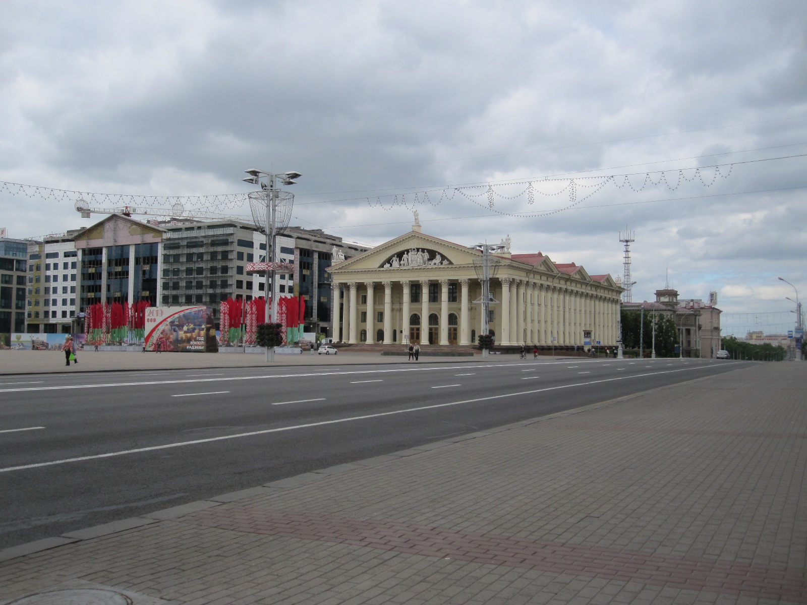
In the shopping mall a friendly German who lived in Minsk helped me to buy a coffee and a strawberry cake, after which I continued exploring the city. Minsk was virtually totally destroyed during the war and the central area was rebuilt to a high standard with good quality buildings. There is a recommended walking route that takes in most of the sights, starting at the very modern railway station which you are not supposed to take photographs of, but I did. I managed to get a tourist map and covered as much ground as my knee would allow.
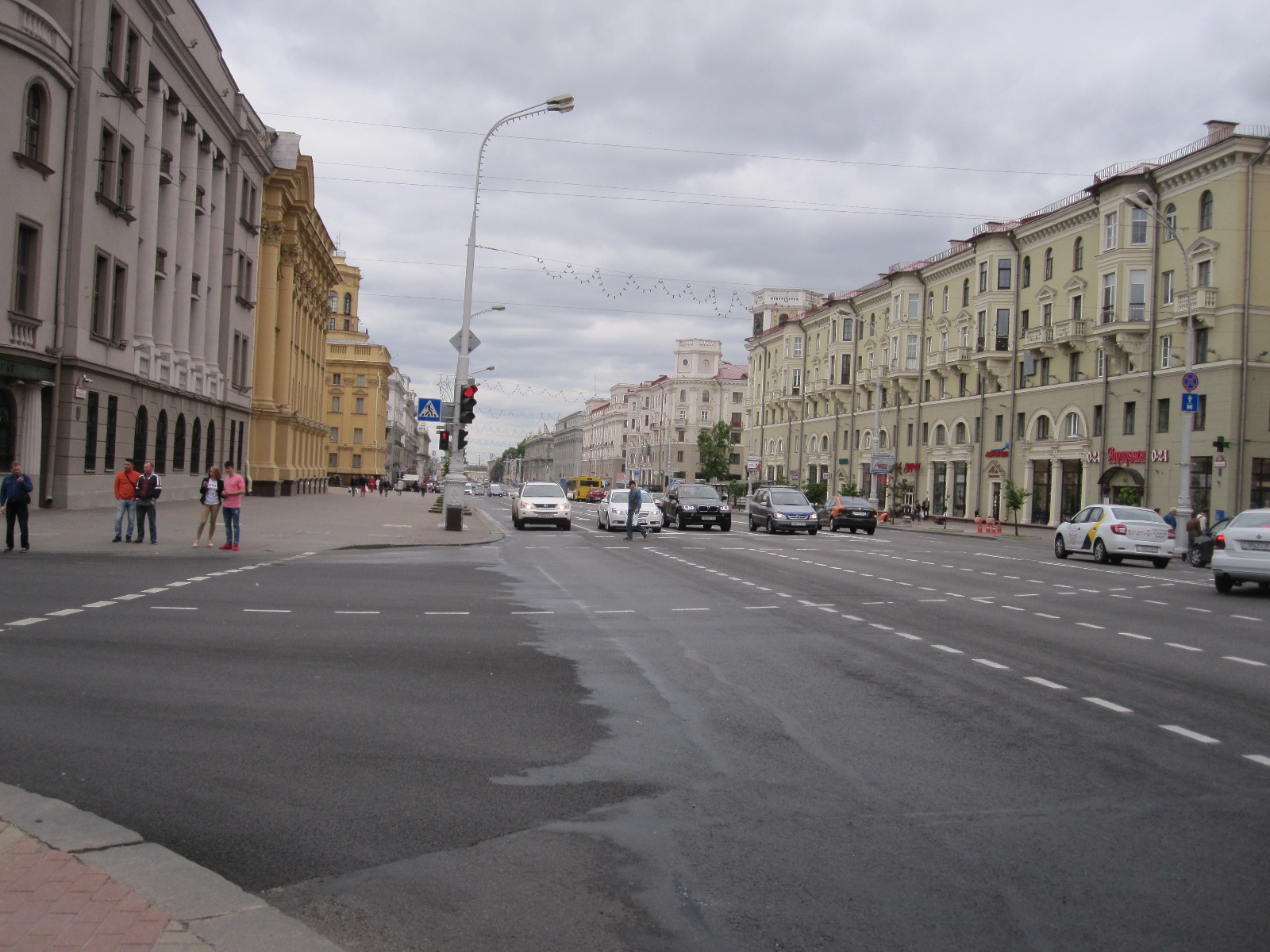
Main Street
The city is very much better than I expected. I thought it would be a gloomy, lifeless place, a relic of the Soviet Union, instead of which it seems to be thriving with most of the attractions and distractions of a West European city. The traffic density is probably about one third of that in Britain, reflecting the lower level of car ownership, so speeds are often higher, but not to an extent that I would regard as dangerous. Most of the vehicles are modern and in good condition (though that is not so once you get out into the countryside).
Running through the middle of the city is the river Svislach, the one I could see from the Belarus Hotel, with areas of parkland along its banks. It varies greatly in width but is generally not wide or deep enough to carry large vessels.
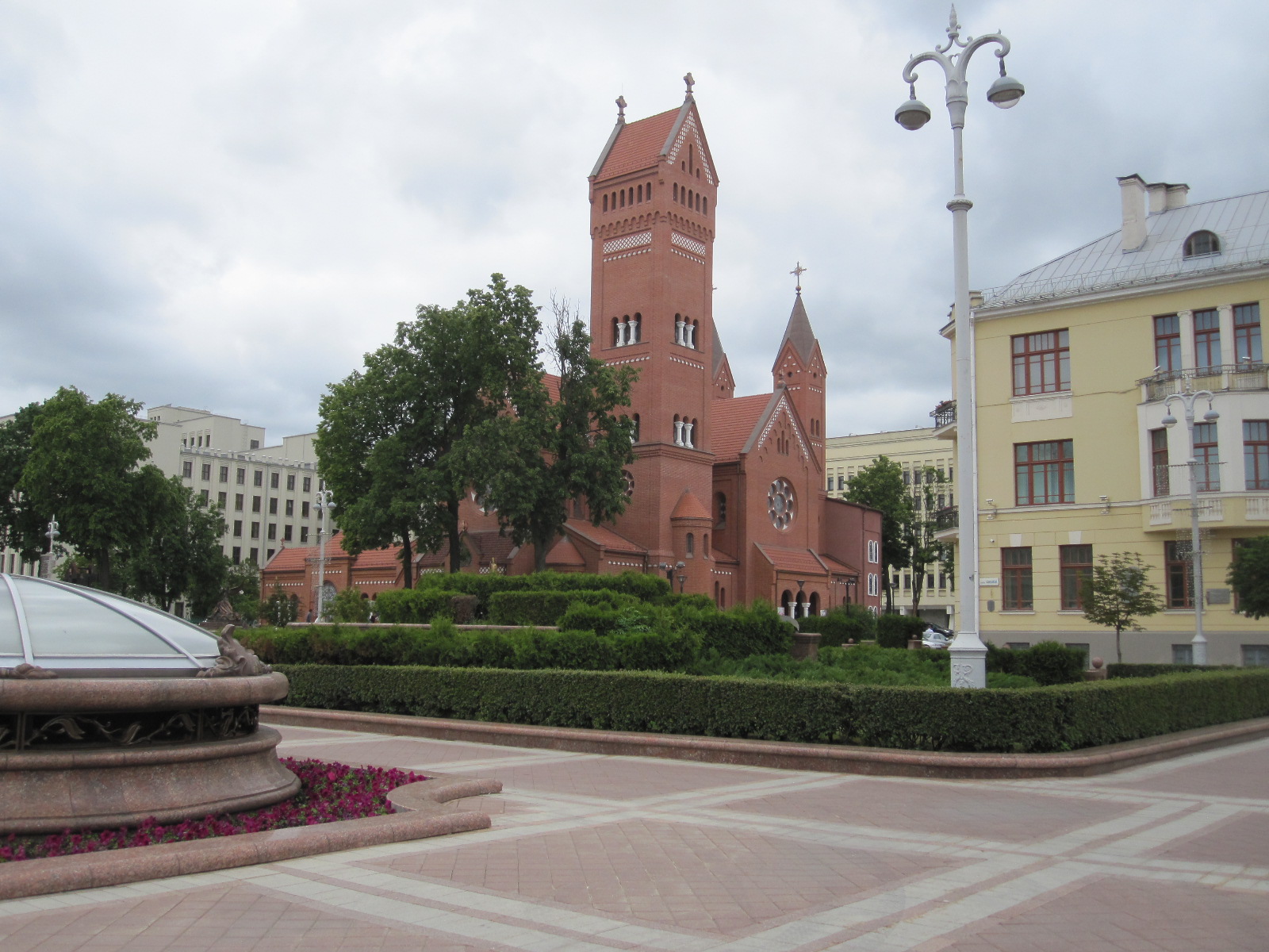
Red Church
T.U.Cultural Centre
The route took me past many distinctive buildings including the Red Church, the Greek-style Trade Union Cultural Centre and the KGB headquarters, which you are also not supposed to photograph. There are plenty of pictures on Google Images and similar. Whereas in Russia the KGB has been replaced by the somewhat less formidable FSB, in Belarus it is still the KGB.

State Circus
From the imposing State Circus building I turned westwards into the “old town”, a reconstructed area with a pedestrianised main street lined with cafes and restaurants forming the centre of night life in the city.
One thing about Belarus that is noticeable to anyone coming from twenty-first century Britain is the almost total lack of diversity. During a whole day in Minsk I saw only a few people of a different racial type from myself (“white Caucasian”). Like western Russians, Belarusians are generally quite large and I noticed a surprising number of tall women.
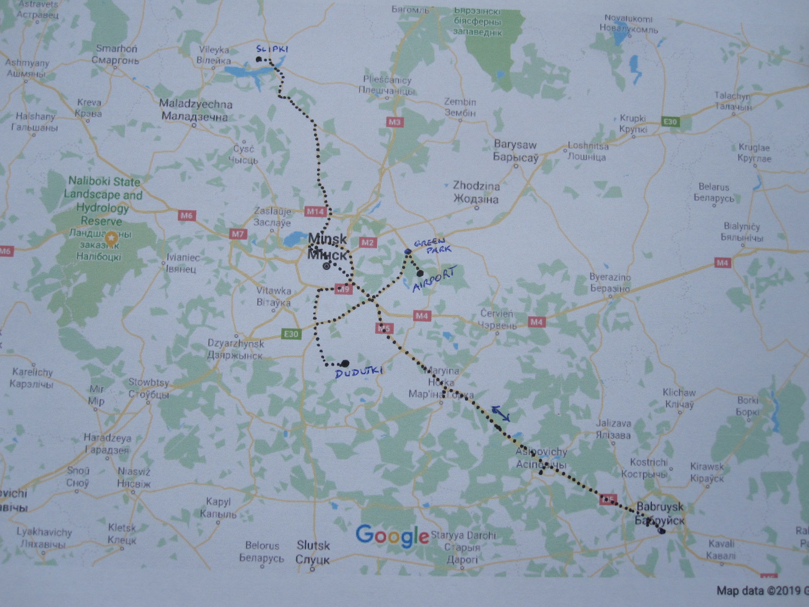
In the course of my advance planning for the trip I had found references to five vehicle museums including the one at Dudutski. Three of the remaining four were in Minsk, at the tractor factory, the motorcycle factory, and a small collection at the Ministry of Internal Affairs Museum. The largest collection in the country was supposed be at a village called Slipki about 50 miles north of the capital and the description on automuseums.info included a map showing the exact position of the museum in the village.
A day of wild goose chases

Illya market
The next morning I set off for Slipki on the P58 main road to the north. Once clear of Minsk the traffic was light and the road well surfaced, running through pleasant but not exceptional countryside. The TomTom took me through a place called Illya (or Ilya) where I stopped to look at the market and bought a T-shirt with thin blue and white horizontal stripes like the ones Russian soldiers wear under their uniforms. The man on the stall looked me over to assess my size and selected one that ultimately turned out to be about four sizes too large, but at least I could say “Been there, done that and bought the T-shirt”.
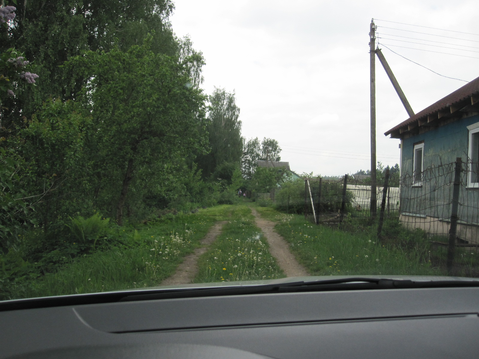
Village street
Some distance after Illya I noticed a village on the left with its main street running parallel to the P58, and turned off to look at it. It was exactly like some I came across in Russia, with a dirt surface and no signs of life apart from a small dog standing in the middle of the road. It reluctantly moved out of the way as I approached. The houses were typical wooden dachas, some in good condition but others in a total state of dilapidation. I drove the whole way through the village and back without seeing any living creatures apart from the dog. There was nothing to show that many of the properties were occupied.
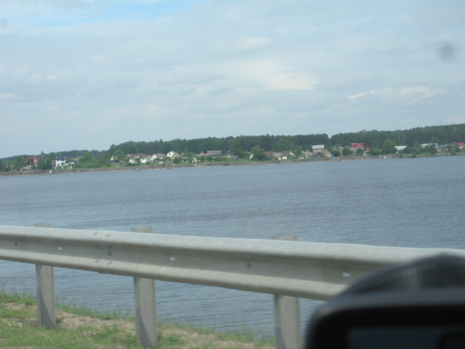
Lake Viliejka
A short distance after I rejoined the P58 the road crossed a lake via a long causeway and bridge. The lake was shown on my map as Viliejskaje Vdsch, which defeats Google Translate, but appears to mean Lake Viliejka, after the adjacent city of that name. This is the only lake I saw in Belarus and they are few and far between. A few mile further on the satnav indicated that I should turn left on to a rough road for about three miles to Slipki, where I stopped to get my bearings. The layout of the narrow streets seemed to correspond to those on the map with the museum information, so I followed the route through the village to the point where the map showed a turning off to the right to the museum. There was a junction there, but it was an extremely rough track, impassable for a car like mine without risking some damage.

Slipki
I went back into Slipki to see if I could find someone who might be able to help, and saw a well-worn car pull into the garden of a dacha. A couple got out and I approached them with the map and picture. They were both about 40 and were willing to help but needless to say did not speak any English. They did not appear to have any knowledge of the museum but the man indicated that he would come with me in my car to try to find it. We retraced my drive through the village until we came to the junction with the rough track and the man agreed that it was the place shown on the map. All this was done somehow without a word of English.
He then took out an unbelievably battered smartphone with an almost opaque screen, dialled someone, spoke to them and handed the phone to me. The lady the other end spoke good English, and I told her what I was looking for . She said there was no museum in Slipki but there was one in another village about 40 miles away and she would explain to my friend how to find it. He took the phone and had a discussion with her. He then took my tablet with the map of the area and put a marker on the place the lady had mentioned. Like the man I met near Dudutki he seemed to be quite familiar with the device, actually more so than I am. I took him back to his house, thanked him, and decided to return to Minsk, as I did not want to do another 80 miles when there was no certainty that the museum would even have any vehicles.
It is quite interesting to consider this situation, because we were in an obscure village 50 miles from Minsk in a country that until very recently has received few foreigners apart from Russians, and yet this man seemed quite comfortable dealing with me. Most Belarusian men do national service which would bring them into contact with a wide range of people, but probably not foreigners. I regretted afterwards not trying to find out more about him, but the language was a problem. What did he do for a living? They had a large garden, but I doubt whether it was big enough for them to live from and there did not appear to be any industry in the area. When I met him it was in the middle of a weekday, when you might have expected him to be at work. Maybe he worked from home with his digital skills. From the state of his car and phone he cannot have been very prosperous.
In Ilia the market had gone, and I got some sandwiches from a shop to keep me going before driving on to Minsk and the hotel. It was still only about 4pm, so I walked to the Ministry of Internal Affairs museum in the city centre, which was open. I had a picture showing a number of old vehicles in the car park, but there was just one old police jeep.
I went into the building through the heavy glass door and was met by a man in uniform with a hat with a big round flat top. The diameter of the top of the hat of officials in this part of the world is an indication of the status of the wearer, and I would say that this one was actually medium on the scale of such things. By our standards they are slightly ridiculous and it is difficult (but essential) not to laugh. The man noted down my name from my passport and then followed me closely as I walked around pretending to be interested in lots of things. Predictably everything in the museum was in Russian and there was only one vehicle, a BMW police motorcycle. Eventually I departed without a word having been spoken.
It had not been a staggering successful day, but I had met a couple of characters that most people would not meet.
Factories
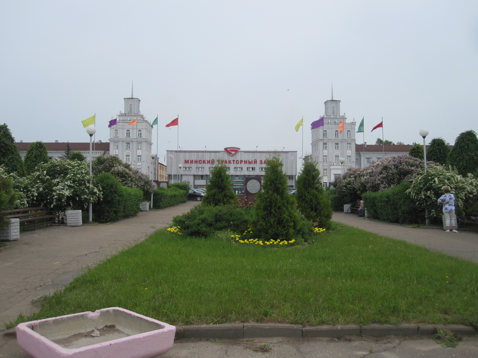
Tractor Works
After a snack breakfast in the hotel café as opposed to the expensive and crowded restaurant in the morning I set off for the Minsk Tractor Works. There are not many products that Belarus is famous for but tractors is one of them and certainly one of the country’s best exports. For many years they have been sold throughout the world, including Britain, under the trade name Belarus. They are not considered to be on a par with John Deere or Massey Ferguson, but are considerably cheaper.
The tractor factory is in an imposing Soviet-style building alongside a

Tractor Works
main road about three miles from the city centre. It has an area of well-kept parkland in front of it giving it a ‘garden city’ sort of look. A few tractors were dotted around among trees and hedges. The firm was founded in 1946, and the first edition of the company newspaper was said to be a true chronicle of analytically verified plans and programs, glorious patriotic achievements and the spiritually rich life of Belarusian tractor builders. They must have done something right, because by 2005 there were almost 20,000 workers.
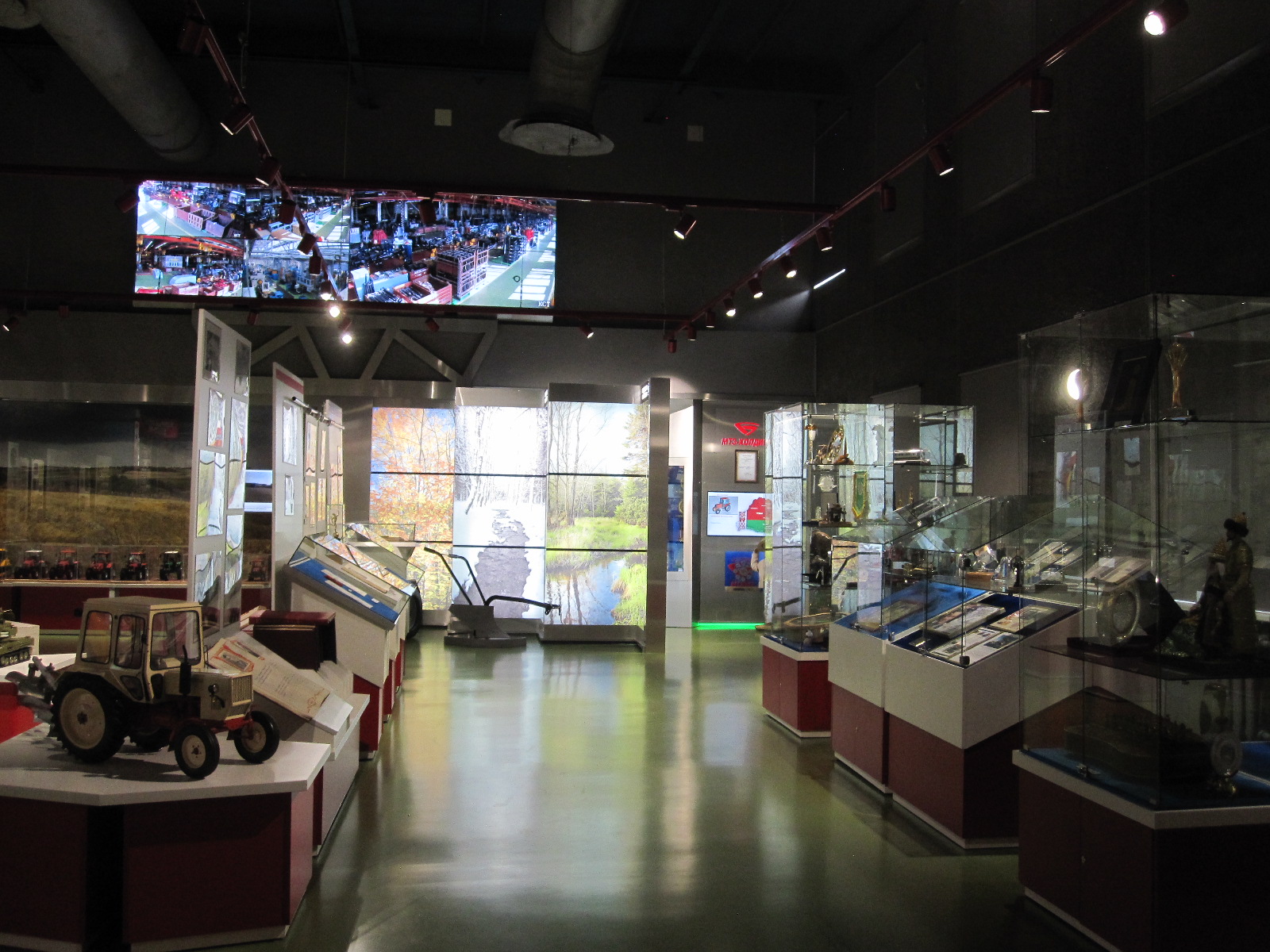
Tractor museum
The museum entrance was directly on the front of the building, and after paying 1.70 roubles for a nice ticket with pictures of old tractors on it I was sent through to another door where I was met by a serious-looking man who spoke no English. There were several areas containing pictures and many tractor-related items, but no actual tractors. All the documentation was in Russian. The man followed me round and on the way out I pointed to a closed door, which he promptly opened, revealing the boardroom.
I walked along to the main factory entrance doors which led into a hall with about twenty turnstiles, each with two cameras, one at waist height and one at face level, so it appears that they have an advanced security system which can link the wearer’s face to their pass barcode or photo. The other side of the turnstiles I could see lots of tractors, so I attempted to blag my way through with no success. The best response I got was “Perhaps tomorrow”, which appeared to be the sum total of the English of the staff present, but then, that is more than my Russian and it is difficult to blag if you have no common language with the other person. Some time afterwards I discovered that with one day’s notice I could have gone on a factory tour, but no one told me at the time. Bad planning on my part.
Motorcycle factory
Having failed at the tractor works I decided to inflict myself on the motorcycle factory down the road. MINSK (now M1NSK) motorcycles commenced production as a state-owned business in 1951 and for many years managed to sell all over the world in the face of competition from the west and Japan. By 2007 they were struggling and passed into private ownership, their main markets now being Belarus and Vietnam. In addition to motorcycles up to 500cc they make bicycles, scooters, ATVs and snowmobiles.
Their main address and showroom is in a small building like a shop alongside the Soviet-style factory. The motorcycles are quite modern in some ways (styling, LED lighting), but a bit behind the times in others, and would probably not comply with current EU regulations. There was also a fully electric model and they are starting to sell some Chinese bikes. I had seen some pictures on the internet of some old machines that were supposed to be on display at the showroom, but no one in the shop could speak English or recognise the word ‘museum’.
Old town
The entrance to the assembly plant along the road was like something out of the 1950s, unlike the tractor factory, and there was clearly no chance of getting past the gatehouse. It had been another not very successful day, and I spent the evening with a meal and walkabout in the old town.
Moving on to Babruysk
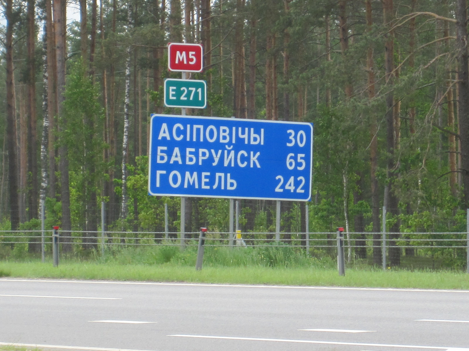
By this time I had had a good look at Minsk and some of the surrounding country areas but I wanted to see another town. Originally I planned to go to Brest, which has a number of tourist attractions, but it is a border city and I felt that it was not really very typical of Belarus. After studying the map I decided that Babruysk, a town of about 215,000 inhabitants100 miles from Minsk would be a good place to go the next day. It only appeared to have two hotels and was clearly not tourist orientated.
Pedestrian crossing on motorway
The morning traffic on the motorway leading south east towards Babruysk was surprisingly heavy for about 15 miles until it split at a junction, after which it became quite a pleasant drive, bypassing the towns of Marjina Horka and Asipovicy (map spelling). The two hotels I had listed in Babruysk were the Yubieynaya on the approach to the town and the Hotel Tourist in the centre.
From the map it appeared that the Yubieynaya would be easier to find, have better parking and probably be cheaper than the Tourist. It was
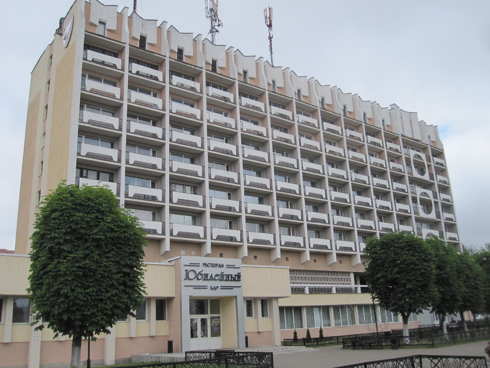
Football Hotel
extremely easy to find, as it was just off the main road leading from the motorway into the town, and had parking on a layby right in front of the entrance. The door led straight into a large wood-panelled hall with an unmanned reception desk with no papers or anything in sight. I waited for two or three minutes, and then someone walked past me and pointed out that the receptionist was sitting behind a small hatch at the far end of the room.
This was a far cry from the Belarus Hotel. A room was available on the third floor for about a third of the price that I had paid at the Belarus. The hotel was actually quite large, with nine floors and around 150 rooms, served by two tiny creaky lifts. On the way to my room I passed a couple of other people, but generally there did not seem to be much going on. The room itself was clean and quite well furnished, though perhaps a bit dated, the only shortcoming being that it was almost entirely pink. The view consisted of a large open area with roads running through it, carrying little traffic at that time of the day.
View from room
It was lunchtime, so I went down to the restaurant, which was empty. A lady came over and gave me a menu in Russian. It seemed that no other menu was available and no one spoke English, but somehow we decided that I should have soup and meat with rice. At this moment more guests appeared en masse in the form of a football team of boys in their early teens, together with four men who were apparently their trainers, teachers, etc.
Looking around at the pictures on the wall, it dawned upon me that this was a football themed hotel, used largely by visiting teams. Football is taken very seriously in Belarus and Belshina Bobruysk has had some championship success in the past. The boys were well-behaved and seemed to enjoy their meal rather more than I did, but I suppose it depends on what you are used to. Food is not one of the main subjects of my reports, and I am certainly not going to make an exception in the case of Belarus.
Centre park
After the meal I went into the town centre by car and found a parking space with no difficulty. Far from being the run-down industrial town that I expected, it consisted of pleasant tree-lined avenues, all very clean, a little bit like Cheltenham. In the very centre was a park with the obligatory war memorial in the form of a T34 tank adjacent to a large paved area on which children were driving around in hired electric miniature cars (illegal in Britain). The surrounding streets were mostly pedestrianised, with small shops.
Modern
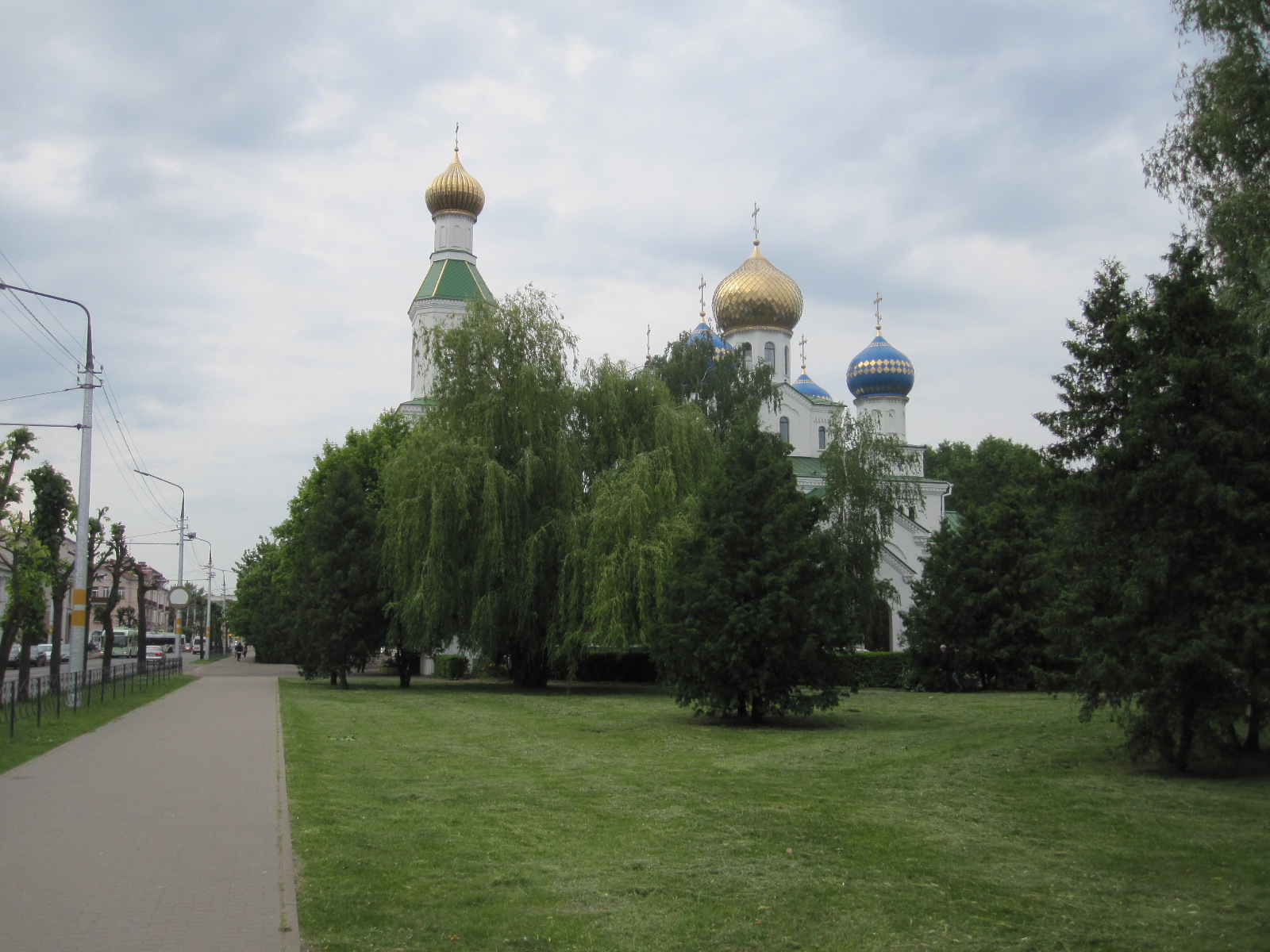
Cathedral
The larger civic buildings and churches, etc. had diverse architecture,ranging from the beautiful minarets of St.Nicholas Cathedral to ultra-modern styles, some of which were, to my mind, very good. Like Minsk, most of the town was rebuilt after the war, during which the population was reduced from 84,000 to 28,000.
In the evening I went to the single-storey shopping mall near the hotel for a meal in the food hall. Apple juice, soup and rice pilaf came to approximately £3.00, and the prices generally were far cheaper than in Minsk.
Two ordinary towns
After an awful breakfast in the hotel (what could I expect for the equivalent of £1.20?) I set off for Minsk, intending to look at the two towns, Asipovicy and Marjina Horka, that I had passed on the way to Babruysk. On the M5 motorway the TomTom eventually told me to turn left to Asipovicy, on to a very wide roughly surfaced road. The surface was so bad that I doubted whether it was correct and turned back towards the motorway. To my amusement the TomTom agreed with me and told me to turn left back on to the M5 for a few miles before turning left again on to a tarmac road.

Asipovicy
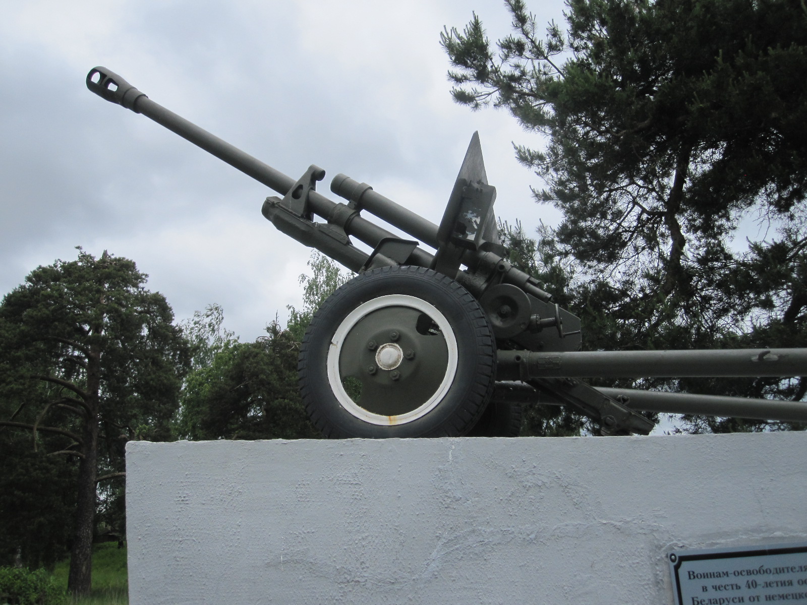 Near Asipovicy is a large army training ground and there were a fair number of military vehicles around. At one junction of dusty roads on the way into the town was a large field gun mounted on a plinth as a memorial to past events. In the centre was a reasonable selection of shops and a café occupied by some soldiers accompanied by a strong smell of petrol, but I did not let that put me off my coffee and crisps. Rather like being at home, actually. Otherwise as far as I could see there was nothing very notable about Asipovicy; it was just clean and orderly like almost everywhere else I went in Belarus. The main streets were tarmacked, but like most small towns and villages the side roads were rough and dusty, presumably turning to mud in the winter.
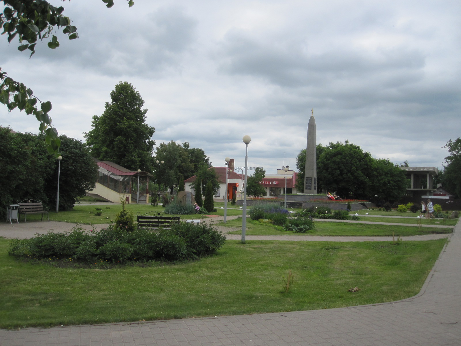
Marjina Horka
The next town was Marjina Horka, a smaller and perhaps slightly smarter town than Asipovicy with a well-defined centre around the railway station, including a couple of supermarkets and the usual memorial, this time in the form of an SU100 tank destroyer. The railway station seemed to be quite busy.
As I had to take the car back and be at the airport fairly early the next morning I stayed overnight again at the Green Park Hotel.
The hotel was five miles from the airport, but because it was in the middle of a motorway junction I had to drive eleven miles to get there, and was then faced with a monstrous challenge in finding where to take the car. After driving around for about 30 minutes I gave up, put it in the public car park and walked to the terminal. The man in the Sixt office agreed that the arrangements were not very good.
It is hard to compare Belarus with the major western European nations, because it has a much lower population density, less than one fifth of that in Britain. There is a big difference between Minsk and most other parts of the country that I went to, and that probably applies to the quality of life. I did not see any obvious poverty. Politically everything seems calm on the surface, but there are undercurrents of discontent about the lack of democracy. It does not come across as a police state, and I did not encounter any road checks in travelling around. Things are changing fast, with modern technology well established. The Chinese are building a huge industrial estate close to Minsk airport which will include a car factory and electronics companies.
Russian negativity
During my trip to Russia nine years earlier I had found myself battling against Russian negativity on many occasions. Whenever I attempted to do anything the response from the other party would start with “Niet”. I had not encountered this in Belarus until I tried to change my remaining roubles at the airport before leaving. There were about £250 worth left, and as mentioned at the start, it would not be possible to change them outside the country.
After handing the car in it was still quite early and only one of the three banks was open. There was a queue which seemed be taking for ever, and I thought I might miss my flight before reaching the counter. I suddenly saw that the Russian Sberbank had opened and joined the much shorter queue there. When I got to the counter I asked the lady if I could change my roubles for pounds. She shook her head “No pounds”. Bearing in mind the forecast imminent collapse of the entire British financial system due to Brexit I was not surprised, and said “Dollars? She shook her head and said “No dollars”. As a last desperate resort I said “Euros?”. She shook her head and said “No euros”.
Any further communication with her was impossible, but by now the third bank had opened and the lady at the counter spoke very good English. I asked her to change my roubles, but she said they didn’t do foreign exchange (this was an airport bank!). She told me to go to Sberbank. I told her the lady there didn’t have any pounds, dollars or euros, and she said “She does, I know she does. Come with me.”
We walked round to Sberbank, and my helper spoke to the lady behind the counter, who looked at me very sheepishly, took my roubles and gave me the equivalent in euros. It was just a case that it was easier to do nothing than do something.
Plus ça change, or perhaps it should be plus ça exchange.
Estonia 2019
CLICK ON PICTURES TO ENLARGE
Estonia 2019
 This was to be my third visit to Estonia, the others having been in 2006 and 2009, reported elsewhere on this site. My interest in the country was aroused by the novel “Firewall” by Andy McNab, which was set in 1999, while the country was emerging from its protracted period under Russian control. McNab described a country in which life was still quite hard for many people, with a degree of poverty and violence that had already improved significantly by the time I got there seven years later. I was particularly interested in the Russian enclave around Narva in the north-east, where 95% of the people were of Russian origin and spoke that language.
Following the 2014 annexation by Russia of Crimea, in Ukraine, there was concern about the possibility of a similar event in north-eastern Estonia, and at the time of my 2019 visit NATO forces, including British, were stationed in the area, although I did not see any sign of them.
My plan was to fly to Tallinn, the capital, and then over the next three days drive to Narva, then across country to Parnu, a resort in the south west, and back to Tallinn, a total distance of about 450 miles, so I would be fairly busy. After booking the flights it occurred to me that Tallinn is about the same latitude as the Orkney Islands and it might be a good deal colder than the south coast of England where I live. When I left home the BBC weather forecast optimistically promised wall-to-wall sunshine in the Baltic area for the whole duration of my stay, which did not seem very likely.
The flight was in two parts, via Riga in Latvia, and one problem with going to that area at weekends is that Riga and Tallinn are very popular with British stag parties, which can lead to situations in which one would like to pretend to be of some (almost any) other nationality, but on this occasion the obvious partygoers were quite well-behaved.
Tallinn
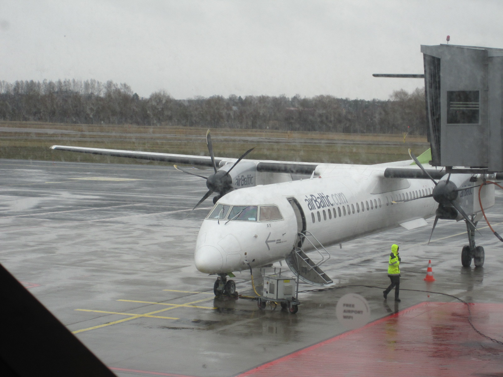
Propellers
From Riga to Tallinn took only 45 minutes, and I was rather amused that the plane had propellers, the first time I have flown in one so-equipped for about 50 years. The temperature when the plane landed in Tallinn was 14 degrees, warmer than at home, with the promised sunshine. Avis had the car ready for me, a Skoda Fabia in near perfect condition, and I hit the city traffic at the rush hour. It was slow-going, not helped by the fact that my satnav would not work, but with the aid of my tablet I found the Bravo Spa Hotel in the old town without too much trouble. The hotel was in a complex with a gymnasium and other facilities which appeared to be attracting a lot of young professional people after work, creating a logistical nightmare to get into the strictly-controlled car park.
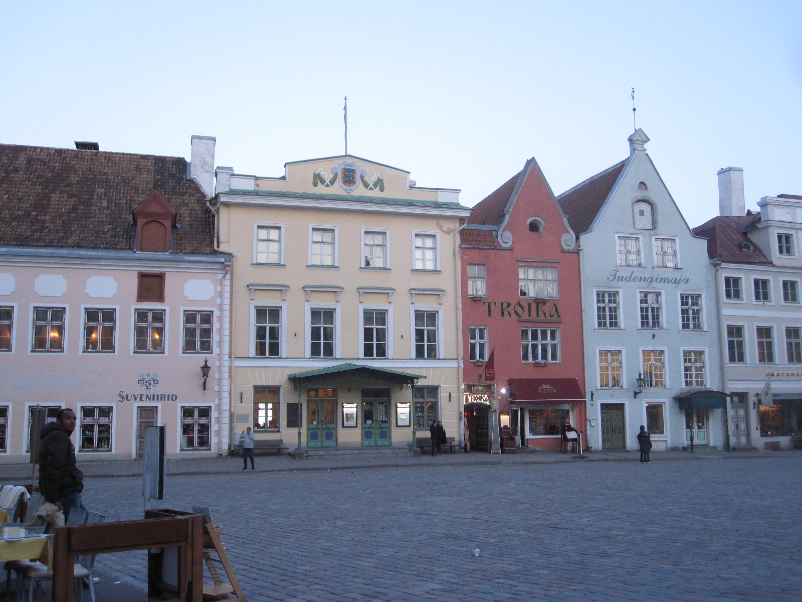
Tallinn
It was only a short distance to the city centre, with a wide choice of restaurants, so I walked down the road and got something to eat before having a look round the old town, which was much larger than I remembered. It was also tidier than on my previous visit, some of the buildings having been renovated to a degree but still retaining their authentic appearance. Although most of Estonia is quite flat, the streets of Tallinn rise to a considerable height from which it is possible to get some good views across the city.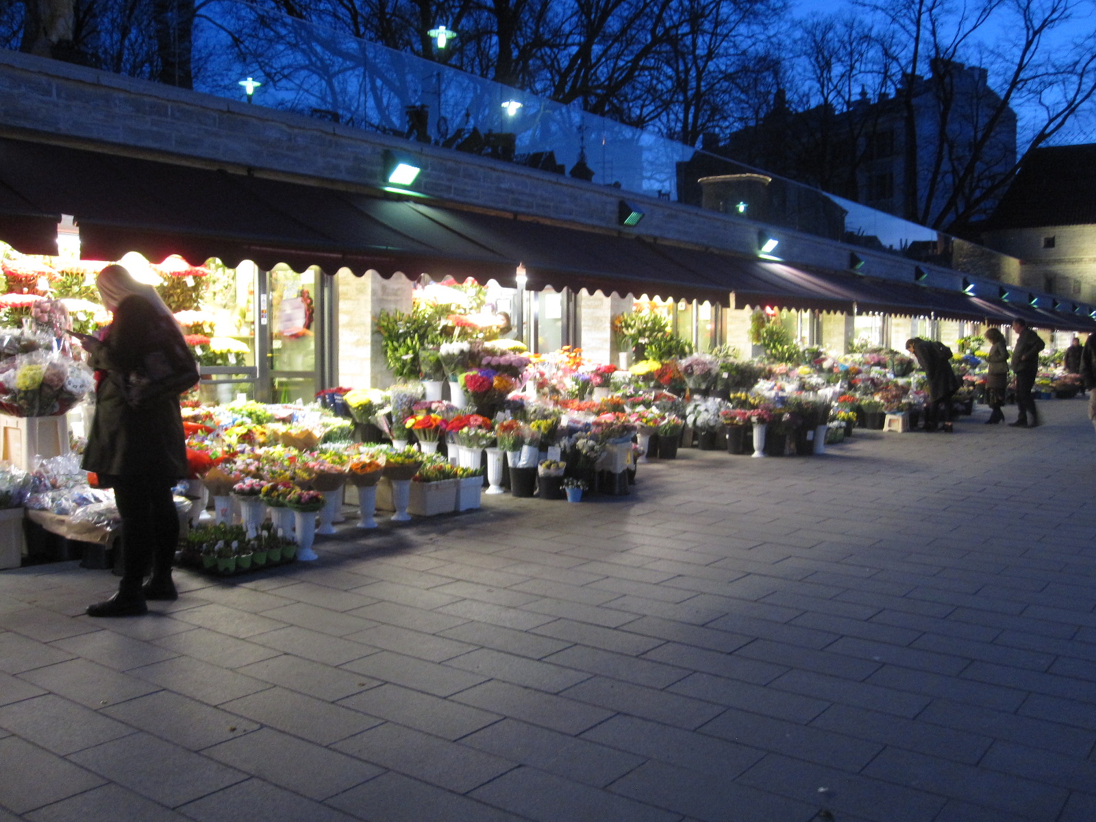
At about 8.00 on a Thursday evening I was surprised to see a row of open-fronted shops in the city centre offering a vast quantity of beautiful flowers. From the small number of people around it was hard to believe that most of them would find buyers before they deteriorated to the point where they could not be sold.
Getting out of the car park the next morning was less of a challenge than getting into it, and I was soon on my way to Narva. The weather was beautiful and I managed to get the satnav working. On the way out of the city I passed through an area of huge Soviet-style blocks of flats that I had seen from the plane, and resolved to have a closer look at them on the way back, because they are where a large proportion of the people live. At least they were white or bright colours instead of the original drab grey concrete.
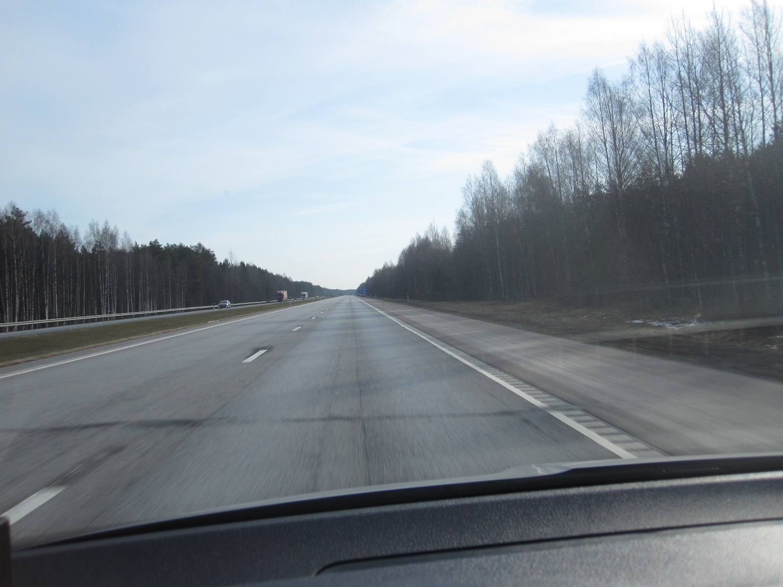 The road had been considerably upgraded since my last trip and was dual carriageway for about 50 miles, with a better surface than most roads in England now. The traffic was light and I thought the driving was very good, with almost everyone sticking to the speed limit and no tailgating, unlike at home. Some speed cameras were in evidence, but they were easy to see and the car had some kind of GPS system built in which sounded a warning when the speed limit was exceeded and on the approach to a roadside camera. Unfortunately the speed limits recognized by the car were not the same as the ones on the on the signs at the side of the road but the ones in my satnav were correct.
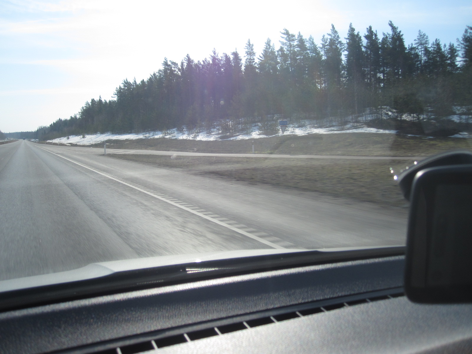
Snow
Rather surprisingly considering the temperature, there was snow at the roadside in some placesand I came across this from time to time throughout my stay in Estonia. The land was never very much above sea level and I eventually concluded that the ground temperature must be lower than at home due to the generally longer and harder winter. Someone told me that they had had an unusually heavy snowfall not long ago.
Some distance before Narva I stopped to look at a place called Kohlta-Jarva which was an industrial town set up in Soviet times to exploit the mineral wealth in the area. At the time of my last trip it was still very run down and dirty, but is now a much pleasanter place, although it is difficult to see what has replaced the former industry. Estonia is now said to be the most digitalised country on earth, so perhaps the people are all engaged in software development. In many respects it is closely allied to Finland and the language is said to be similar.
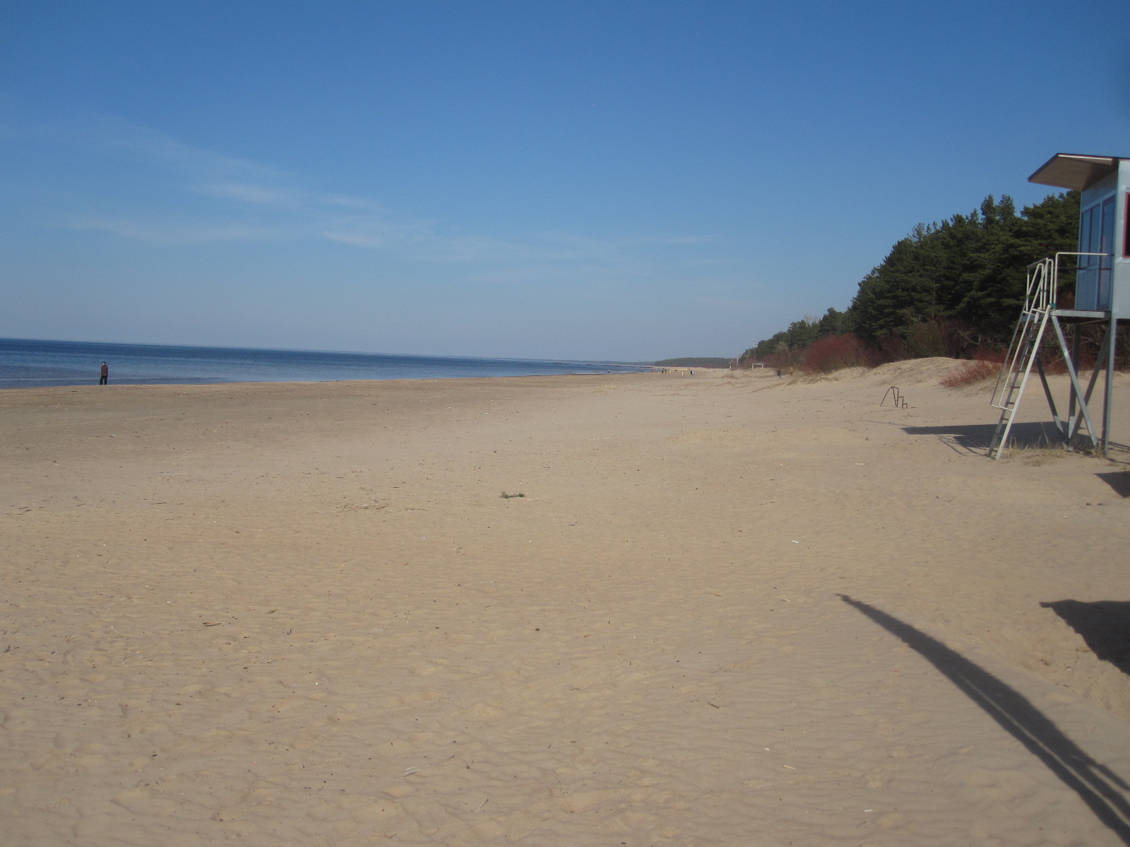 The main road is never far from the Baltic coast and I went up to look at an undeveloped stretch of shoreline near Ontika and then along to Narva-Jöesuu, a resort at the mouth of the River Narva a few miles north of the town of that name. With buildings largely concealed in forest set back from a wide sandy beach, Narva-Jöesuu has an upmarket air like Le Touquet in France or Naples in Florida although it is much smaller than either. There were few people on the beach but I remembered that on my previous trip it was mid-summer and the place was packed.
Narva
The road into the town of Narva runs alongside the river, with Russia on the other bank and at one point is a Russian T34 tank on a plinth, as a reminder of the breakthrough of Russian forces towards the end of World War 2. This is shown in the photograph with Russia in the background.
The King Hotel proved to be very easy to find, and once sorted I went for a walk to the river bank overlooking the Russian town of Ivangorod on the other side. Below is the 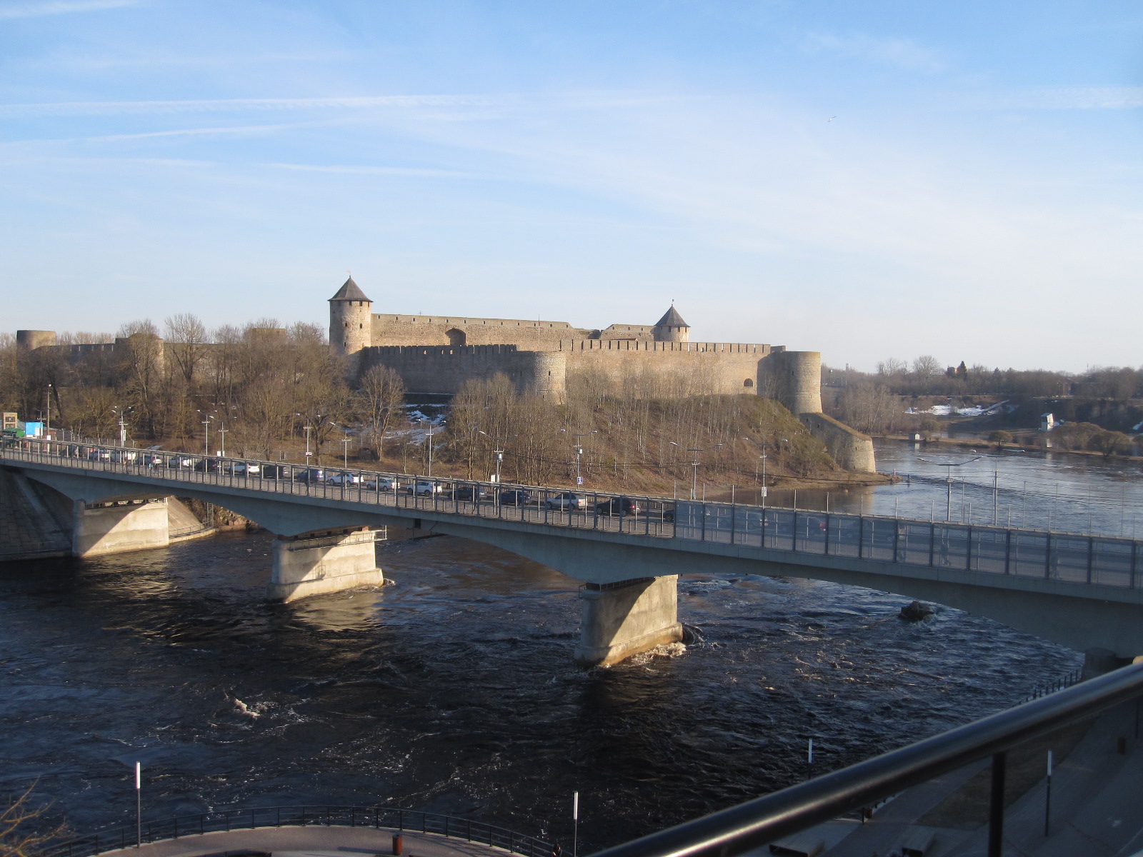 road bridge which is one of the few crossing points between Russia and Estonia and also the border of the European Union. A long line vehicles were waiting to pass through the check point into Russia and progress was slow, about eight vehicles going through in a batch in both directions every twenty minutes. In addition about the same number of pedestrians were going each way, many of them apparently carrying shopping.
The streets and buildings of Ivangorod were clearly visible, as was the castle, a classical fortress facing its rival in Narva on my side of the river. On the way back to the
Ivangorod
hotel I passed the old Town Hall, one of the very few buildings that survived the German and Russian occupations during the second world war, known locally as the Great Patriotic War. Nearby is also the large depot where commercial traffic is processed before passing into Russia, built since my last visit.
In one of the main streets I came across a beautiful life-sized bronze sculpture of a man sitting at a table playing chess. It was quite delicate and would not have survived long in most English towns before being vandalised, which is perhaps an indication of the high standard of public conduct that exists in
Chess player
Estonia.
Not far from the hotel was a small modern two-storey shopping mall where I was able to get a meal. Narva had come a long way in the nine years since my last visit, being altogether much cleaner and less run down. In fact I would not describe it as run down at all now. Rather sadly, the Ladas have now gone, apart from an occasional one preserved as a collector’s piece and there seemed to be fewer signs in Russian than before.
Across country on empty roads
As always, I was on the search for car museums and had managed to track down two in Estonia, one of which was at a place called Järva-Jaani in the middle of nowhere just off the most direct route between Narva and Pärnu, a resort on the east coast. For the first 45 miles I took the main road (E20) and then turned off through the delightfully-named village of Püssi, following the route taken by Andy McNab’s hero in Firewall. Then through Tudu and a complicated rural drive to Järva-Jaani. Estonia is generally a very flat country, the highest point being only 1043ft (318m) above sea level, and the scenery consists mainly of farmland with pockets of woodland. Here and there were the shells of conical stone structures which I later discovered were the remains of windmills.
The roads are, however, well surfaced and the traffic is extremely light, so it is possible to make good progress across country. It is quite usual to travel many miles without seeing another vehicle, a complete contrast to where I live in England. The average population density of Estonia is 30 inhabitants per square kilometer, compared to 407 at home.
When I got to Järva-Jaani I managed to find some refreshments in a small supermarket before going to the museum, which was not difficult to find because there were old vehicles at the roadside for some distance around it.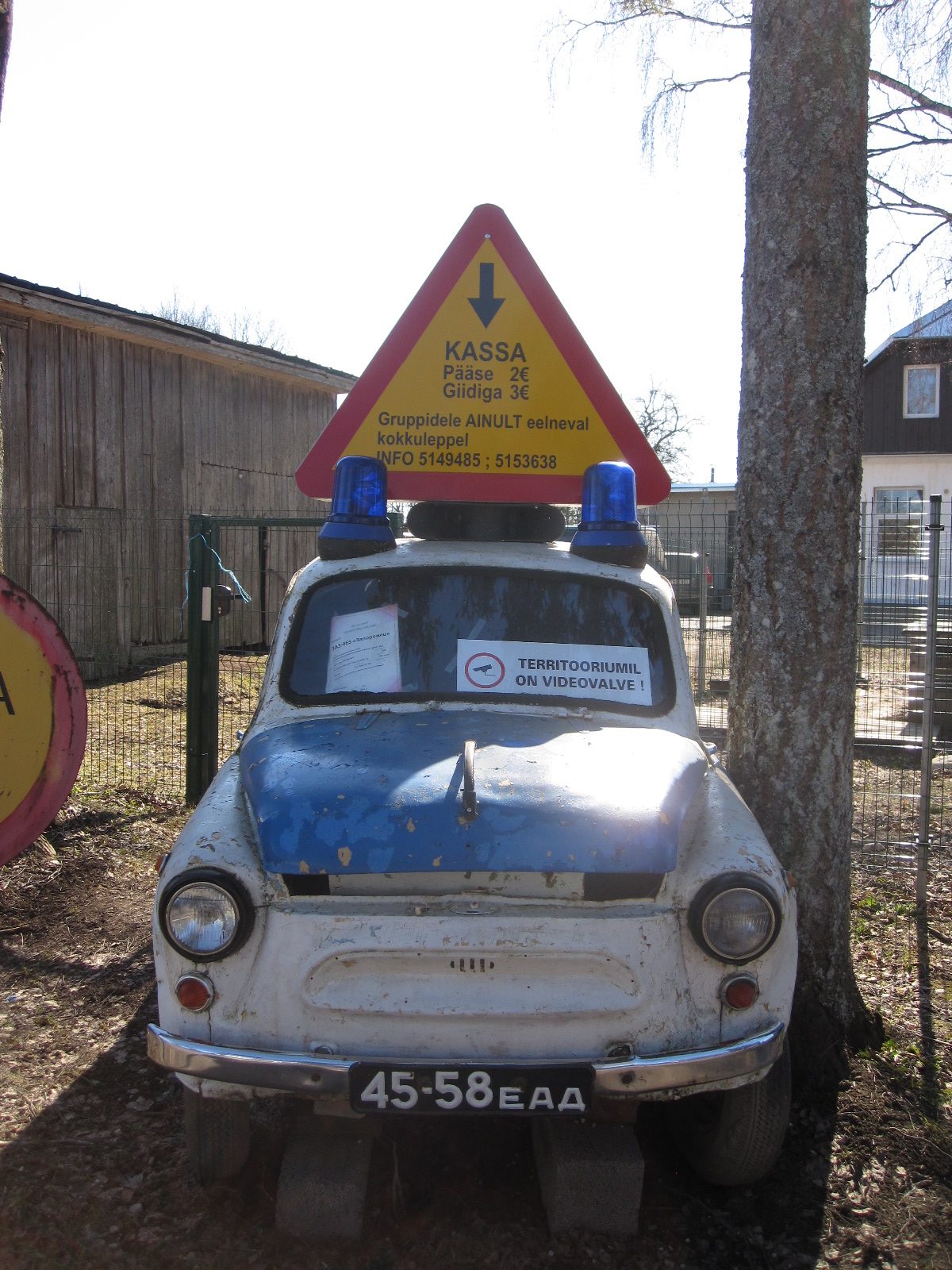
The entrance was just a field gate off a lane, with the remains of a roofless pink Dutch-registered Zaporozhets on the verge in front of it. There was no cash desk, just an older Zaporozhets police car (the mind boggles) inside the gate with a notice in Estonian telling visitors to put the entry fee in a box under the bonnet. It showed a picture of a CCTV camera as an incentive for people to do so.
 Beyond this was the most astonishing collection of vehicles and other mechanical objects that you could imagine. Cars, lorries, buses, motorcycles and, in particular, fire engines, many of them dating from the Soviet period. The collection was apparently started by the local fire service. There were things that I had only read about, and many others that I had not read about and could not identify. In the two hours or so that I was there I did not see anyone involved with the running of the place. However, at one end of the site are a couple of new unfinished buildings, one with fire engines in it, and a notice stating that the museum is being developed with EU money.
As I left this paradise I observed on the top of a tall chimney opposite to the gate a nest with a pair of storks on it. Perhaps they were hoping for an EU handout to help bring up their family.
Pärnu
After this I continued my near traffic-free drive to the Hotel Emmi in Parnu, a pleasant coastal town which fancies itself as a spa. Before having a meal at a nearby restaurant I walked down to the nearest rather muddy stretch of beach which is separated from the town by a wide area of scrub land. There is a much better beach further along that I visited on my previous trip.
 The next morning (Sunday) I looked out of the window and saw a group of people dressed in the national costume. The lady in reception said they were practicing for a folk festival later in the year. I set off on the so-called motorway E67 to Tallinn, stopping after 15 miles at the Automuseum Halinga which is the extreme opposite to the one in Järva-Jaani, being in a very stylish modern building alongside the road. Everything about the place was immaculate to the extent that you could eat off the floor or the 50 or so exhibits, which again were mostly Soviet era vehicles. There were a
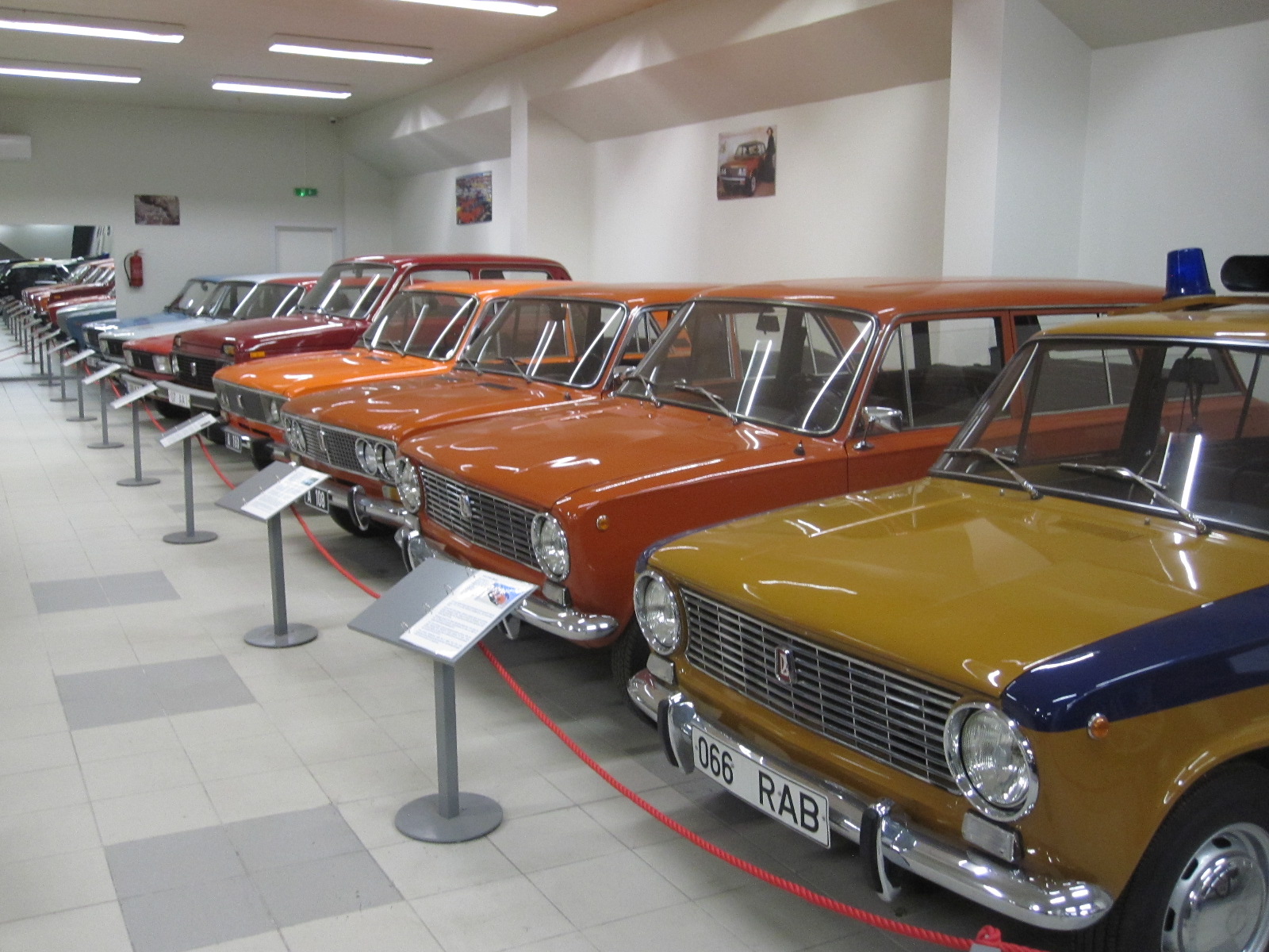 few exceptions including an Austin-Healey and a Volvo. All had been restored to a high standard and had information sheets in several languages including English.
Thinking back over what I had seen on this trip I realized that condition of this museum was typical of present-day Estonia, with most things being clean, tidy and well-ordered. I am far from an expert on building standards, but I had noticed that the plumbing and tiling of the bathrooms of the hotels I stayed in were of a higher standard than in most places, including England. Most of the vehicles on the road are in very good condition, even the older ones, and the streets are almost litter-free. As previously mentioned, the chess player sculpture in Narva suggests that there is little vandalism and I certainly did not see any.
 On the approach to Tallinn I took a detour to look at the massive housing estate that I had passed on the way to Narva. This was much better than I expected, with the tower blocks widely spaced, leaving large areas for parking and as mentioned earlier, by painting the buildings in light colours the feeling of oppression usually found in such developments had been avoided.
Because of the parking difficulties at the Bravo Spa I decided to find another hotel and from my tablet found one called the Aquamarine on the road overlooking the Baltic near the harbour. It was much cheaper than the Bravo Spa, but difficult to get to because of massive
Baltic View
roadworks. To the city centre was about 1½ miles and the receptionist said I could get there on the bus which stopped in front of the hotel but it turned out that the stopping place had been absorbed by the roadworks and moved at least ¼ mile. When I eventually got on the bus there were complications with payment because the machine refused to accept my debit card but the other passengers were very helpful and in the end I got a ticket.
This time I had a longer walk in the old town and looked at the area around the railway station, which was much as I remembered it. The enormous derelict factory behind the station had been redeveloped, but the slightly run-down kiosks and  dodgy underpass were still there. To avoid the payment difficulty on the bus I walked back to the hotel.
In general, I was impressed with Estonia. In international rankings of social and financial issues it is rated highly. It had obviously received a considerable amount of EU money, but unlike some of the southern European countries, had spent it well. The people seem to be distinctly Nordic in character and appear to have developed an economy in tune with the needs of the 21st century. As is clear from the figures stated earlier, the population density is far lower than in England, but contrary to what we are told there is no indication that it is a handicap to progress.
Thailand and Hong Kong 2018
Thailand and Hong Kong 2018
CLICK ON PICTURES TO ENLARGE
Bangkok
 This was to be my first long haul trip since turning the age of eighty and I was not sure whether l was really up to it, whatever 'it' might mean. After travelling for 29 hours I arrived at Bangkok Airport shattered, but no more so than on similar journeys thirty years ago. At Heathrow and Hong Kong airports l must have walked literally several miles, especially at Hong Kong, where a last minute gate change entailed walking the whole length of the vast main terminal.
The immigration queue at Bangkok was immense, but fortunately there was a bypass for people over 70 which must have saved standing for at least an hour. It was 3.00pm and the Phoenix Hotel shuttle bus turned up quite quickly and whisked me over the two miles to its base, where l was able to get a couple of hours rest before going out for a meal. The nearest restaurants were in Lat Krabang Road, within easy walking distance, but the lady in reception said it would be safer to take a taxi, which she ordered for me. Lat Krabang Road is slightly 'ethnic' with eating places ranging from street stalls to proper restaurants and in my view perfectly safe to walk about, even in the dark, so I walked back to the hotel.

Lat Krabang Road
The plan was to spend the next day (Sunday) looking round Bangkok, then to collect a hire car at the airport on Monday morning and drive to Kanchanaburi, the site of the famous bridge over the River Kwai. The only problem was that l woke suddenly on Sunday to find that jet lag had struck and it was 11.00am. l was very hungry, so after another meal in Lat Krabang Road l decided to walk to the station which was on the elevated Airport Express line and go into Bangkok. However, within a couple of hundred yards l realised that it was too hot for walking and got a taxi which only cost about £1.
Lat Krabang is the first station after the airport, and the train was already full, largely with people who looked like Australians, so l had to stand all the way to town. The windows were covered with little black dots, presumably to act as a sun screen, but it made it hard to see out.
The end of the airport line is a place called Phaya Thai, from where l got another train for two stops to Siam Station, which is fairly central. Siam Square is hectic on a Sunday afternoon and on emerging into the street l felt somewhat fazed,
On one side of the road is a big modern shopping mall, and on other side more traditional shops including a branch of Boots, who are apparently well-established in Thailand. The road was chock-a-block with cars, vans, buses, and taxis, the only moving vehicles being tuk-tuks and of course motorcycles.
It was too hot to consider walking very far and l had no plan at all for this situation. After studying the map for a while l decided to take a tuk-tuk to Chinatown, which was on the edge of the bay. The British Foreign Office advised against using tuk-tuks because of their poor safety record.
Chinatown
The driver was clearly delighted to have a fare and after we somehow managed to escape from the jam we were soon cracking along at quite a good pace in the direction of Chinatown. It was further than l thought, but we had agreed a fare at the start so the driver had nothing to gain by taking a long way round.
I always say that when you have seen one Chinatown you have seen 'em all, but this is supposed to be the biggest one outside China, taking in many streets, with some magnificent golden gateway structures. Hundreds of stalls selling everything you could think of but nothing l actually wanted to buy.
The jet lag was taking its toll again, so after a look at the bay l got another tuk-tuk to Siam Square and retraced my steps back to Lat Krabang. As I was committed to picking up the car on Tuesday l decided to move my full day in Bangkok to the end of the week.
On the road
The next morning the shuttle bus took me to the airport to get the car from Europcar, who had a booth in the arrivals hall. I am not sure now what l reserved, but what l got was a Toyota Yaris, actually quite a nice car, larger and altogether better than the original Yaris sold in England. It had done 25,000km but was in almost perfect condition.
Yaris
For this trip l had brought with me yet another item of tech, namely my TomTom satnav, a recent model in which l discovered that it was possible to put a map of Thailand. This meant I was going around loaded with tech like a teenager: smartphone, tablet, camera, action cam, Kindle and satnav, three of them having GPS. The difference is that a teenager would know how to use them all.
Like some other firms, to save money Europcar use the airport service road as their pick-up and drop-off area, which means that you have very little time to get sorted. This is how l had nearly got arrested in Georgia a few months earlier. The man fixed my satnav on the screen and sent me on my way before l was pounced upon by someone in authority.
The most direct route to Kanchanaburi would be straight through the middle of Bangkok, and that is what the satnav suggested. However, having read about and seen the Bangkok traffic l decided to take the motorways around the city to the north and cut across country from there. It would be about 25 miles further but l thought it would be much easier and l think that was the case. The traffic was slow in places but it kept moving virtually the whole time. The roads in the Bangkok area are mostly not at all attractive, being solidly lined with buildings for mile after mile, including the motorways. Some of the road layouts are very complicated and many are dual carriageways in places where they would only be single carriageways in Britain.
The number of lorries is quite amazing, and in a country that is generally thought of as being mainly dedicated to tourism it is hard to understand what they are doing or where they are going. They mostly crawl along at 30 - 35mph, even on the motorway, and during this journey I thought the general standard of driving was not too bad, although l was to change my opinion later
The motorway (No.9) to the north had two toll stations, 30baht (£0.75) each time, and at the first one I offered the man in the kiosk a 50 US dollar bill by mistake, thinking it was 50baht. He refused to accept it, a bad mistake for him, because $50 is equivalent to 1520baht!
Kanchanaburi, the Burma Railway and Waterfalls
At the point where my route turned to the west was an incredibly complicated junction which I got through by following the road numbers on the signs. Eventually I got on to road no. 346 for an uninspiring drive of over 60 miles to Kanchanaburi, built-up most of the way. Kanchanaburi itself was much larger than I expected and the Kanchanaburi City Hotel was at the far end, very close to the bridge over the River Kwai.
By now I had realized that for most things Thailand is very cheap by our standards. The Phoenix hotel in Lat Krabang was £21 per night, and the one in I had just arrived at was £35. It was really quite good, with a decent restaurant attached.
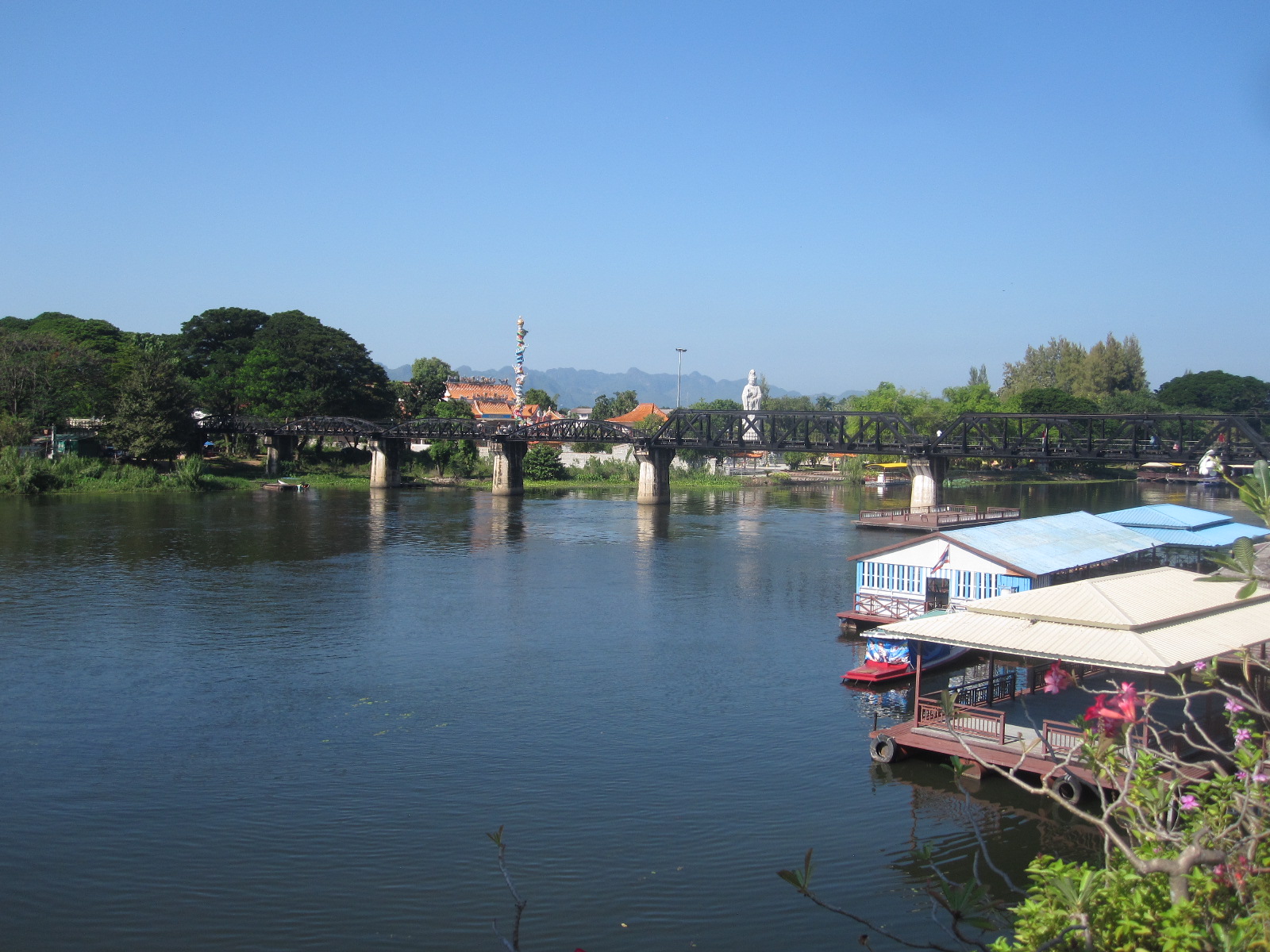
Bridge Over the River Kwai
The first thing I did was to walk along to the bridge, a steel structure with a single-line railway track still used by tourist trains with diesel locomotives. The sections at the ends with curved sides are from the original steel bridge built by POWs in 1943, and the two centre sections with straight sides were built after the war to replace those destroyed by allied bombers in 1944/45. On Sunday afternoon there were lots of people around, walking on the track and over the bridge, so I joined them and set off to walk across the river. Within a short time people started shouting and I suddenly realized that they were shouting at me, because a train was approaching. Fortunately there are platforms about every hundred yards to provide sanctuary for those stupid enough to get in the way of the trains, which travel very slowly.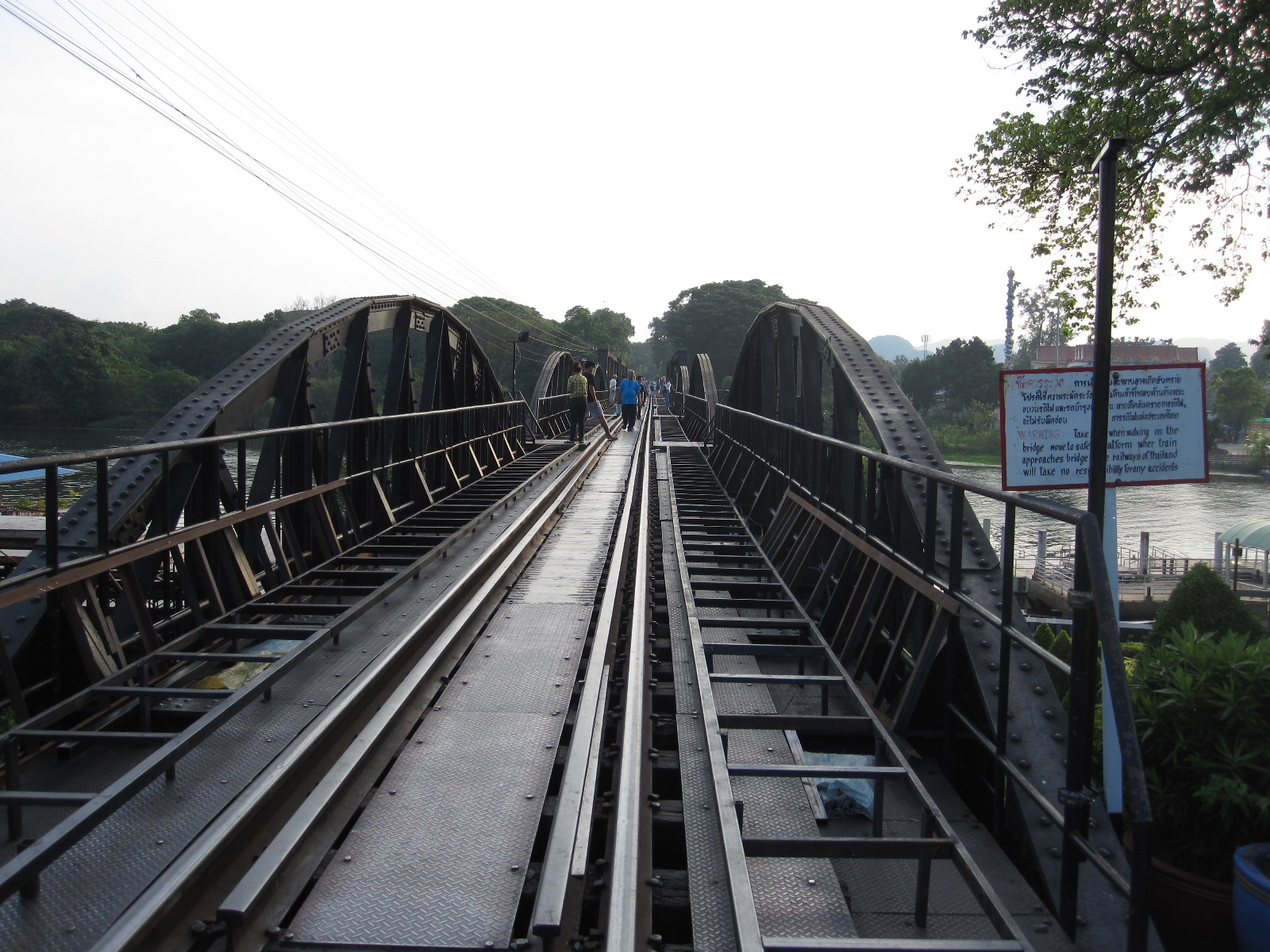
It is said that one man died for every sleeper on the Burma Railway, which is a sobering thought when you look down at the track. Before going to Thailand I watched The Bridge on the River Kwai and The Railway Man. The former is largely fictitious and was shot in Sri Lanka with much more dramatic scenery than Kanchanaburi, and the latter was more factual, but I do not think that either comes close to bringing home the horror of actual events.
Construction of the Death Railway from Thailand to Burma was started in September 1942 and finished in December 1943. Approximately 30,000 allied prisoners of war and 200,000 impressed labourers from far eastern countries were forced by the Japanese to work on the project. More than 16,000 POWs and 100,000 other labourers died, mainly due to starvation and lack of medical care.
In Kanchanaburi there are two JEATH war museums, JEATH standing for Japan, England, America and Australia, Thailand, and Holland. The name was deliberately chosen for its resemblance to DEATH. I decided to spend a day venturing further into the Kwai valley to look at the Hellfire Pass railway cutting and two famous waterfalls before visiting the museums.

Sai Yok Noi waterfall
Eventually the ribbon building finished and after about 40 miles I came to the Sai Yok Noi waterfall which was immediately next to the highway, with souvenir shops and cafes opposite. A path led up the hill with the main waterfall cascading into a pool and then dropping further down the hillside. It was a pleasant sight but hardly one of the Wonders of the World. I did not discover until later that there is another waterfall, the Sai Yok Yai, some miles further on, but from pictures it does not appear to be significantly more spectacular than the Sai Yok Noi.
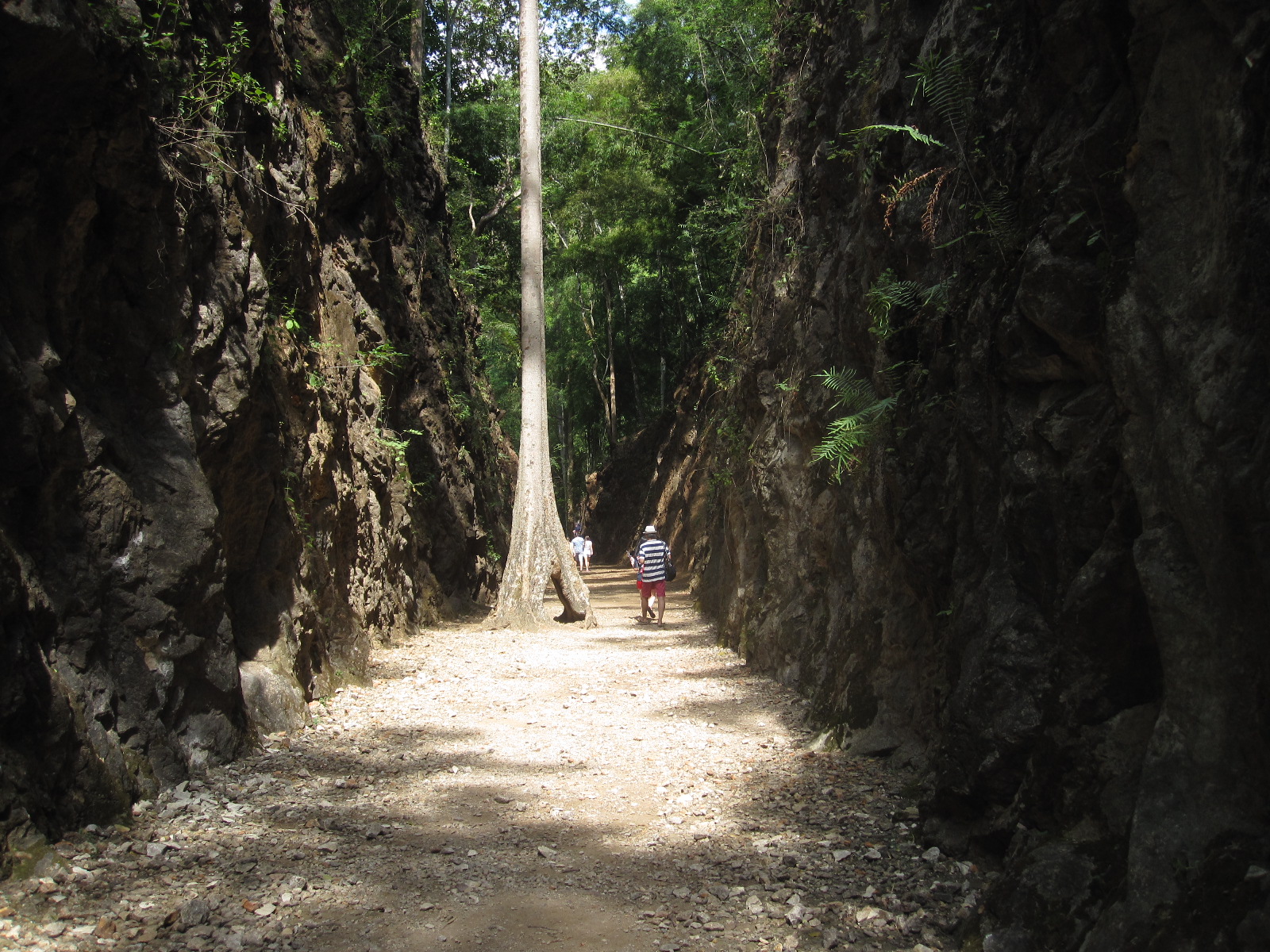
Hellfire Pass
Next stop was Hellfire Pass, which is what I had really come to see. The pass is a deep cutting through rock, made with hand tools by allied POWs and forced labourers from other countries, working up to 18 hours a day. The name comes from the sight of emaciated prisoners working at night by lanterns and torchlight, which was likened to a scene from hell, and in the 1980s some former Australian POWs convinced the Australian and Thai governments to make a permanent memorial at the site.
At the entrance near the road is a Thai army checkpoint, where soldiers in their smart uniforms examine all vehicles before sending them through to the car park which is high above the cutting. From there it is an easy long walk, which I took, down a slope or a much shorter walk via steps to the track level. The rails were removed long ago and in one place there is a
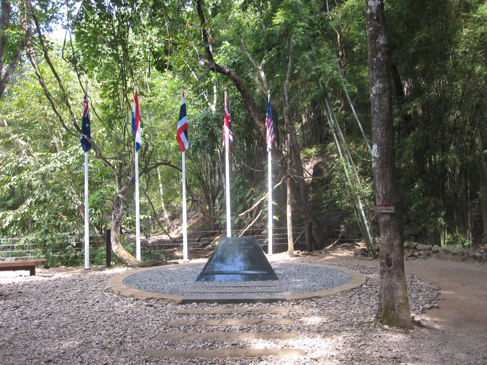
Memorial
mature tree growing in the middle of the cutting which is at the base of a heavily wooded hillside. The temperature was about 30⁰C at the time of my visit and I had applied DEET (which I hate) to the exposed parts of my body in expectation of being attacked by insects, but surprisingly few were in evidence. As I climbed the hundreds of steps back to the car park I could not help thinking of a friend who had recently dropped down dead walking up a steep mountain path in Switzerland.
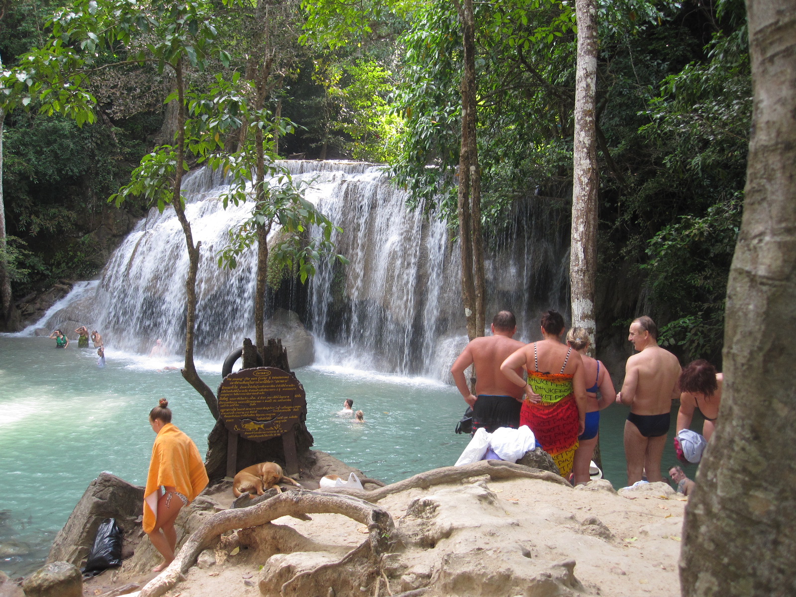
Erewan Falls
After the pass a 40-mile loop by road took me to the more spectacular Erewan Falls higher up in the valley. These have seven levels with a pool at each one, all within heavily wooded terrain. The first four levels are reasonably easy to reach on foot, but that is as far as I got. It was quite clear that most people go there with the intention of getting wet, treating it as a water park and swimming in the pools.
I returned to Kanchanaburi by a different route (3199) which was just as built up for the last 40 miles as the way I had come.
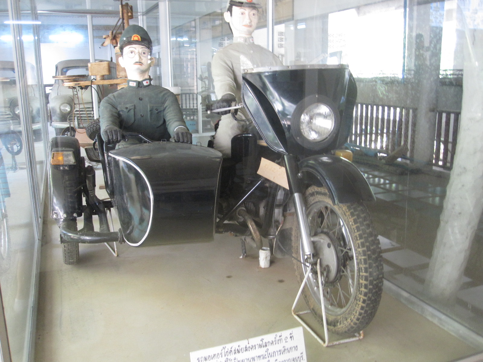
Rather strange
The plan for the next day was to visit the two JEATH war museums and then drive to a historic town called Ayutthaya, via the Jessada Technical Museum at Nakhon Pathom. One JEATH museum was directly opposite to my hotel, and was certainly entertaining. It contained a vast number of exhibits which claimed to be from World War 2 but many were in fact from the early post-war period. There were cars, motorcycles and other things from the late 1940s and 1950s, but I think it was well-intentioned effort, just not very thoroughly researched.
From there I drove into the town centre, where I was able to park at the roadside for as long as I liked with no restrictions and walk to the other JEATH museum. This was a more serious effort altogether, built and operated by an adjacent temple. It consisted mainly of two buildings, one of which is a reproduction of a thatched prisoner of war hut lined with large photographs taken by the prisoners themselves together with their own detailed accounts of the conditions in the camp. It did not make pleasant reading.
I find this rather difficult to come to terms with, because for almost 50 years I have had a close business relationship with a Japanese company, and have visited Japan twice. It is quite hard to reconcile my personal experience of the people with the irrefutable historical facts, but facts are facts.
Lovely cars, an awful drive and an old town

Jesada Museum
The Jesada Museum at Nakhon Pathom, about 80 miles away, was a different matter. Largely dedicated to transport, it had one of the best car collections I have been to, mostly from Europe. Wonderful micro-cars, motorcycles and all the things I would wish to see in such a museum. It is hard to imagine how they got there, but there they were.
By the time I left the museum it was late afternoon and I had a long way to go to Ayutthaya, especially considering that I had to drive some way into Bangkok before taking the motorway northwards. By the time I got to the motorway it was dark, the traffic was quite heavy and I started to experience some of the things I had read about – vehicles with no rear lights and lunatic motorcyclists, made worse by the complete absence of road lighting. I turned off and tried to find a couple of hotels that were shown on the map in my tablet, but they did not seem to exist, so I decided to press on to Ayutthaya where I imagined that there would be plenty of accommodation.
When I got there it was very much the same story and just as I was becoming resigned to sleeping in the car I found a big hotel called the Riverview which was packed with people but they somehow managed to find a large room with a balcony for me. Apparently there was a festival in the town and a big military conference in the hotel.
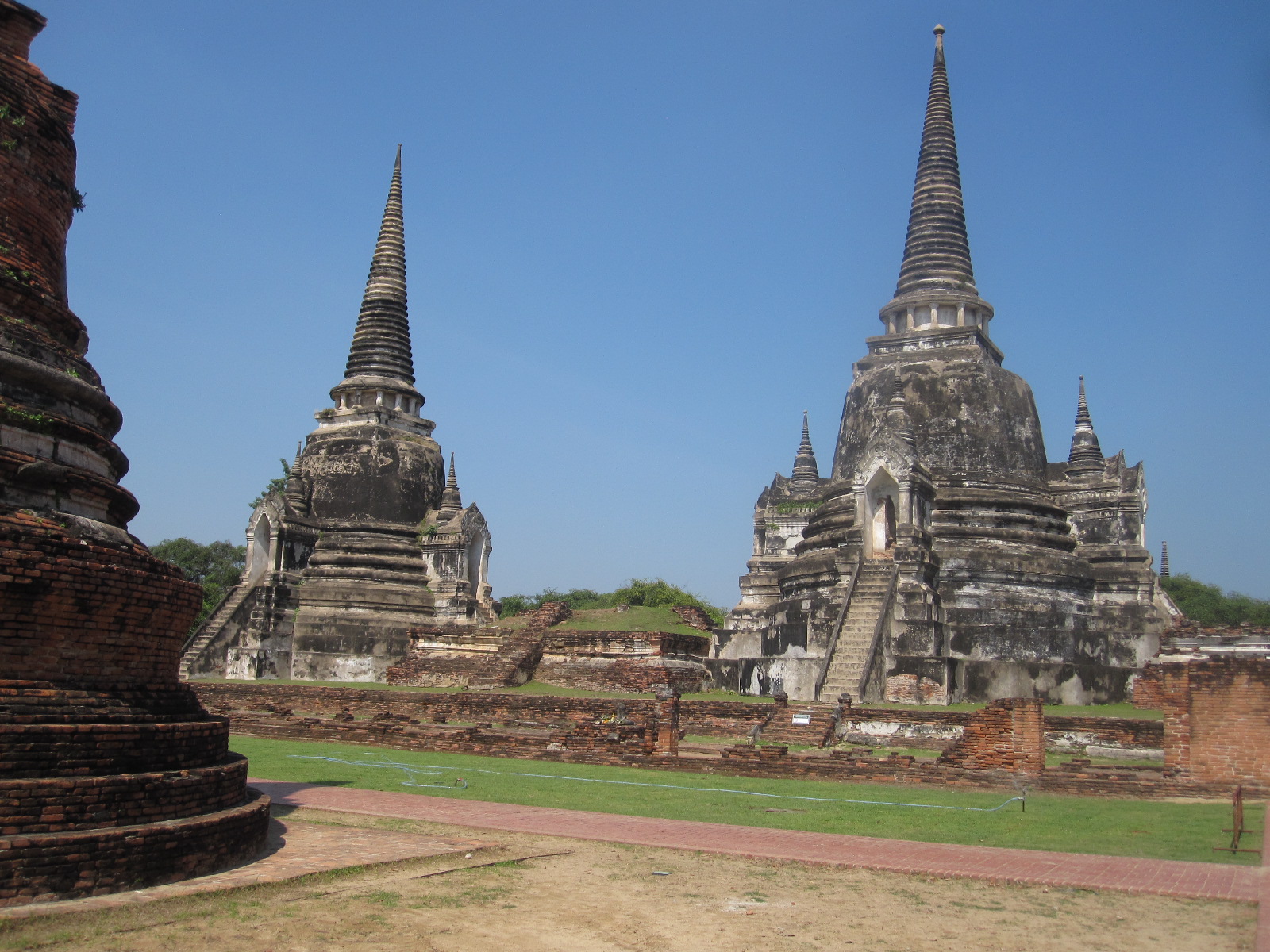
Ayutthaya temples
Ayutthaya was once the capital of the Kingdom of Siam and the ruins of the ancient city are preserved as a UNESCO World Heritage Site in a park. At 10.00am it was quite hot and entailed a fair amount of walking, but it was exactly what I had expected to find, four classical temples and other ruins standing in a canopy of ancient trees. The temples all have astonishingly long steep open flights of steps which must surely have reduced the life expectancy of those worshipping in them. There was also a more modern building in the traditional style with an enormous golden Buddha figure in it that I could see from the doorway, but I could not go in because I was wearing shorts.
Rides on highly decorated elephants were another attraction in the park, but I decided to give that a miss and go the vast market shown on a map obtained from a lady in the nearby tourist office. As always there were lots of interesting things but nothing that I wanted to buy, so I set off on the way back to Bangkok.
The route took me through the complicated road junction that I had successfully passed through using a map two days earlier. This time I put my faith in the sat nav, which was a disastrous mistake, as it eventually took me through a narrow tunnel with about seven feet headroom and six inches of water on the road. By time I got back to the correct motorway I had done about ten extra miles.
Using the hotel WiFi in Ayutthara I had booked a hotel called Mariya near Lat Krabang Road but some distance from the Phoenix. By the time I got to the area it was dark and the traffic was frantic, with motorcycles weaving in and out making it impossible to stop to check my position. The hotel was in one of many side roads which all had complicated numbers with suffixes instead of names, and after driving up and down three times I gave up, intending to look for somewhere else. Then I suddenly recognized the road with the Phoenix in it, and booked in there for two more nights, wondering why I had not done that in the first place.
Bangkok again
The next day was to be spent looking round Bangkok, so in the morning I took the car back to Europcar at the airport and got the Airport Express into the city, this time at the start of the line, so that I had a seat. As before, I went to Siam Square via Phaya Thai and then decided to go on a Hop-on, Hop-off tour bus to see the sights and get overview of the city. The area around Siam
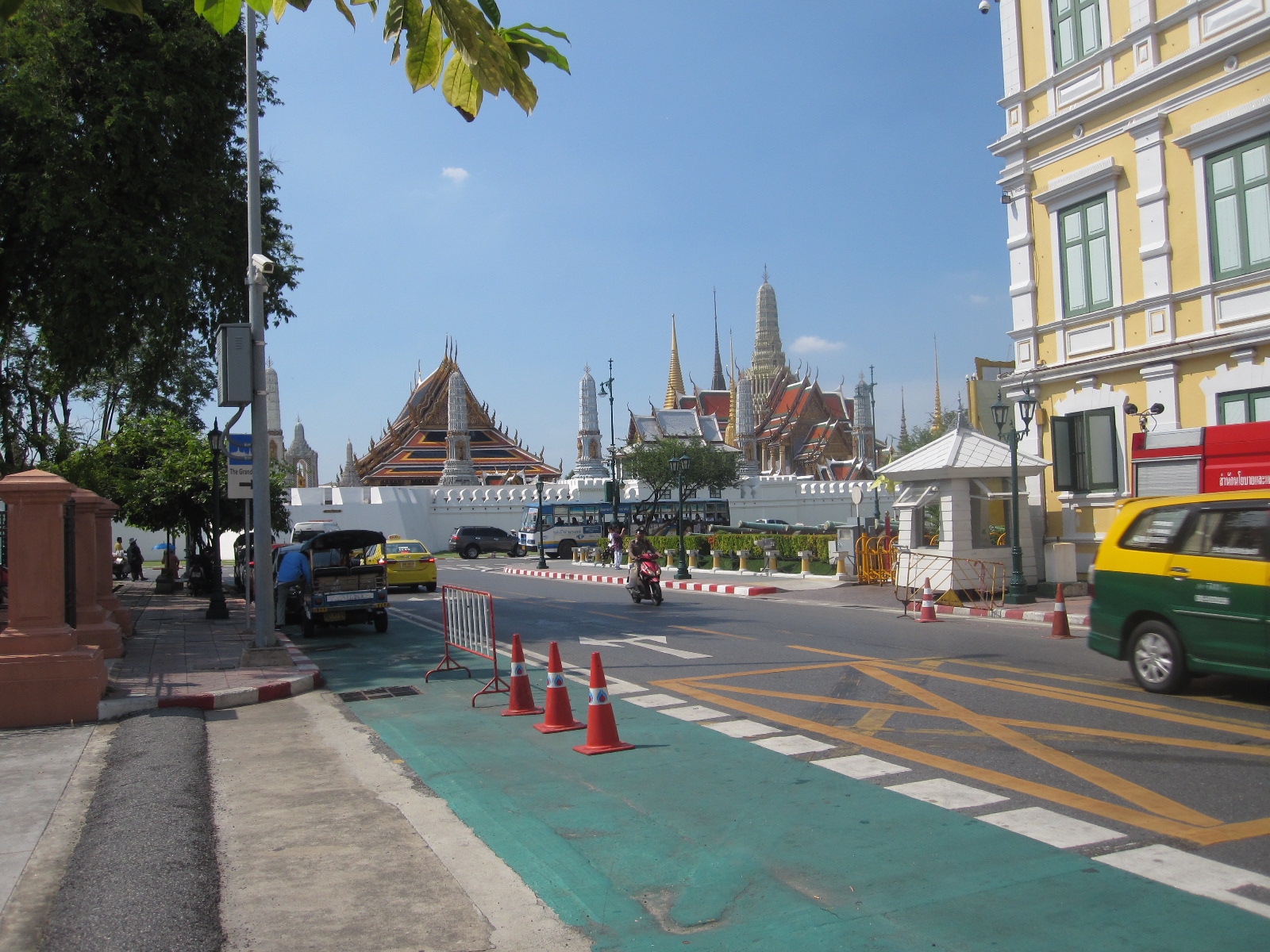
Grand Palace
Square was still totally gridlocked and it took an age for the bus to get underway. Eventually it did, and after passing Hua Lamphong railway station which is very reminiscent of Kings Cross it went through Chinatown, Little India and on to The Grand Palace, where I got off. The Palace was closed, as major attractions always are when I arrive, but at least I managed to find a toilet in the adjacent barracks. The Palace is surrounded by a high wall and it is virtually impossible to get any photographs. It was too hot for walking around, and the next bus did not come for about 45 minutes, so the bus tour was not really a very good idea.

Royal Family
It continued past many other sights including the Marble Temple and the Giant Swing, but I did not get off because of the long wait of up to one hour for the next bus. An interesting feature of Bangkok are the huge pictures of members of the royal family displayed at road junctions and other prominent places. The royal family is held in high regard and guide books point out that the law of lese majesty (disrespect in any form) is taken very seriously and heavy punishment applies to foreigners as well as nationals.
Back at Siam Square I had a meal and looked round the Paragon multi-storey shopping mall which is clearly aimed at foreigners with a lot of money. I was rather disappointed with my day in Bangkok, because it was too hot for walking far, and the bus tour was not very good. The best way to see the city would be by bicycle if you are fit or rented scooter if you are used to riding in heavy traffic. There are, however, warnings about scams with motorcycle rental and the British Foreign Office advises strongly against it..
Perhaps the highlight of the holiday was the motorcycle taxi journey I took from Siam Square to Phaya Thai station. In front of the Paragon shopping mall was a small motorcycle taxi area with riders in official tabards with numbers, offering their services. One of them approached me and I asked how much it would be to Phaya Thai station. He said 100baht (£2.50), so we set off through the near-stationary traffic on his smart-looking scooter, with me on the back holding my action cam pointing over his shoulder (he had agreed to let me film). He had given me a flimsy open-face helmet to wear, but otherwise I had no protective gear.
I often ride motorcycles in heavy traffic in England so it was not too much of a culture shock as we weaved in and out of the cars and rode on the wrong side of the road against oncoming traffic. You can only die once, but sometimes it seemed like more than once. The ride was everything I had hoped for and I gave him 200baht. You can share this experience with me on https://youtu.be/rRe_BUBwULU
The next morning the shuttle bus took me to the airport for my flight to Hong Kong.
Hong Kong.
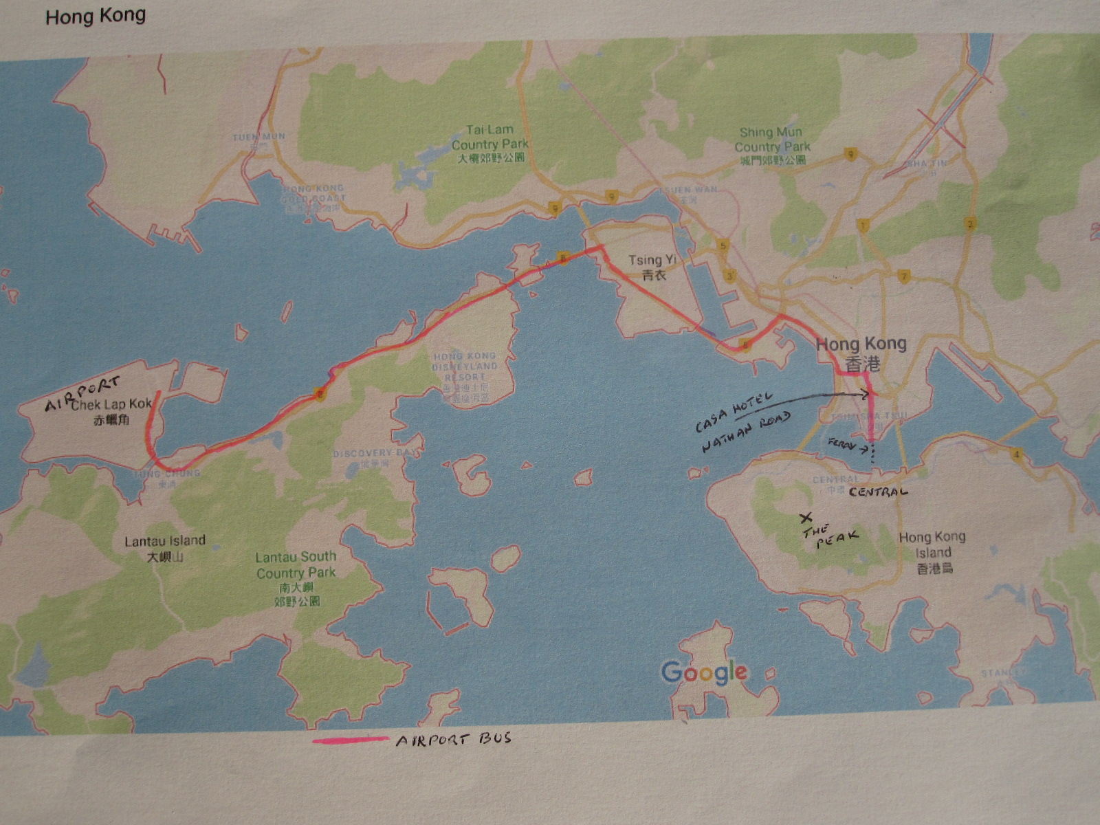 The flight was only about 3 hours and on arrival I had to complete an immigration form but was disappointed not to get a stamp in my passport. All that way, and no stamp. As I did not intend to get a car I had booked for 3 nights at the Casa hotel in Nathan Road, Kowloon, right in the centre of the city. The guide book advised getting a bus rather than the train from the airport because the bus goes over some high bridges with wonderful views, and also runs through the areas with most of the hotels, including Nathan Road.
Hong Kong is spread out within an area of about 30 miles square, but at least half of that is water. It consists mainly of Hong Kong Island, Kowloon, The New Territories and Lantau Island. The largest of these, by far, is the New Territories, which has a long border with the Peoples Republic to the north, and contains most of the industry as well as some undeveloped countryside. Kowloon is heavily built-up and densely populated, with many shops, hotels and tourist attractions. Nathan Road is the main north-south artery in Kowloon.
Hong Kong Island has most of the financial centre and big shopping malls but still some areas of countryside and The Peak, a high point providing spectacular views. The island is connected to Kowloon by ferries, road tunnels and the Metro system. Lantau Island, with the main airport, is largely quite dense forest and is joined to the mainland by two bridges as well as the Metro system.
The city has a fantastic public transport system and at the airport I bought an Octopus card, which is rather like the London Oyster card, and can be used on almost all forms of transport including ferries. The bus was a dedicated airport service, a red double-decker with a rack just inside the entrance for big items of luggage, and as advised by the guide book, I was able to get a seat within view of my case, because they have been known to disappear. The wonderful views did not materialise because it was pitch dark until we got into the lights of the city. The information provided by screens on the bus was excellent and it stopped within 50 yards of the Casa Hotel.
It is easy to imagine that Hong Kong will be cheap, and some things are, but others, such as hotels, are certainly not. Mid-range hotels are about four times the price of those in Bangkok, and for that you will probably get a smaller room. The Casa Hotel was one of the cheapest in the area, being tall and narrow, with about eight rooms on each floor. I was on the twelfth floor out of fourteen, served by two tiny lifts, which meant that certain times there could be a long wait.
Nathan Road
It was early Saturday evening, so after getting sorted I went out for a meal. Nathan Road is really a hive of activity, lined with shops and restaurants and all the bright lights you could wish for. Many of the restaurants had menus outside only in Chinese, so I assumed that they just wanted to cater for local customers, and chose one where I could understand what I was getting. In general I like Chinese food but am not at all adventurous and prefer to stick to things that I can recognize.

Market
From the guide book I discovered that there was a big night market in Temple Street, which ran behind the hotel, parallel to Nathan Road. Hong Kong has been under Chinese control for 20 years, but as a foreigner you could easily think it was still a British dependency, although the locals would probably not take that view. The street names are still mainly English and the language is in evidence everywhere. They still drive on the left and most of the vehicles on the road are not of Chinese manufacture.
The next morning half the shops and restaurants were closed and the ones that were open were crowded but I found breakfast in a nearby café. Afterwards I walked down Nathan Road to the ferry terminal, passing the upmarket Peninsular Hotel which has a fleet of chauffeur-driven dark green Rolls-Royces at the disposal of its guests. As far as I know the Casa does not even have bicycles.
Central
The Star Ferry runs a very frequent service across to Central, on Hong Kong Island, with double deck ferries which can be boarded from upper or lower landing stages. The boats are quite traditional with partially open sides and lots of woodwork. On the island side the landing stages are a couple of hundred yards from the buildings, but there are covered walkways which was just as well, because by now it was starting to rain quite hard. The walkways led into the financial quarter which has big shops on two levels with offices above, reaching very high into the sky. Many of the shops and the offices carry well-known names from the world of luxury goods and finance. As it was Sunday the shops were open and the offices closed.
The shopping malls went on and on, with some of the upmarket names being repeated over and again. One Swiss watch company had at least six shops in the complex. My original intention was to go up to The Peak on the famous tram, a cable car that has been operating since 1888 without a single accident, although I suppose there is always a first time. It does not hang from a cable, but is pulled on rails by one.
However, by the time I got there it was raining hard and visibility was poor, so I decided to put that off until the next day and go on a harbour tour, also operated by Star Ferries. On the way back to the ferry terminal I passed literally hundreds of young muslim women sitting around in the walkways and other covered areas. They are apparently au pairs working in Hong Kong and meet up every Sunday afternoon for picnics.
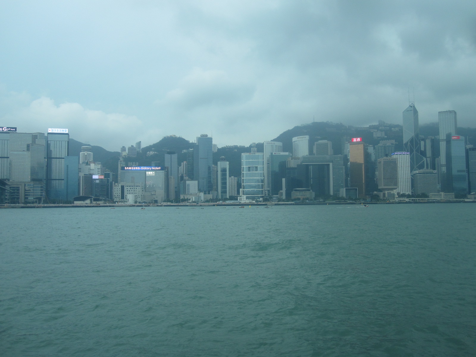
Harbour tour
The “Shining Star” ferry left from one of the Central Piers and toured around the harbour in two large loops, firstly to the east, then to the west via the Kowloon Terminal. Both sides of the harbour were lined with tower blocks, many of them with brightly illuminated names of big corporations, and the English commentary pointed out various landmarks. You can see from the photographs that the weather was dismal.
As the trip finished where it started, I had to get another ferry back to the Kowloon Terminal, and find somewhere to eat on that side before walking back to the hotel. In the course of this I got soaked to the skin, which usually happens at some point on all my trips.
Central
I only had one more day (Monday) in Hong Kong, so that had to be the one for going to the Peak. The weather was better, and to save time I went to Central via the Metro, which I should have used the previous evening. I asked someone the way from the Central Station to the Peak Tram, and was not at all pleased to learn that it was out of action for the day for maintenance. Just my luck.
Looking at the map it was clear that it was quite a long way by road, because the roads snake all over the place, but the guide book said it was possible to walk up the hill more directly. The hill actually rises straight up from the business quarter, and Pottinger Street seemed to be in the right direction. Once you leave the tower blocks the city changes character completely and reverts to the old streets and buildings that were there before the massive redevelopment.
Pottinger Street
At the bottom of the hill Pottinger Street was narrow and not open to vehicles. It started with a surface like flagstones and quickly changed to steps, lined with small shops selling tourist stuff
It then went past the colonial style former police station and prison before coming out on to a steep tarmac road. At this point I encountered what appeared to be a centenarians’ walking group going down the hill (they certainly could not have been going the other way), a number of incredibly old people supported by able-bodied helpers. It was very strange because it was impossible to see where they had come from or were going to.
The road continued to wind its way up the hill with a gradient of about 1 in 4, and when I looked round I discovered that I was still far below the level of the tops of the highest office buildings which were in turn considerably lower than The Peak. This was all quite ridiculous because I found out afterwards that not far from Pottinger Street was an 800m long escalator, the longest in the world, that took people to a point higher than where I was standing.
Anyway, I turned a corner and was amazed to find a taxi depot set into the hillside from where I could get a taxi to the Peak. It took about ten minutes on the road, which I certainly could not have walked. Guess what was at the Peak? Yes, a shopping mall. Before going in I had a walk around and looked at the view, which was superb, although not very wide. There was also an old preserved cable car on display. I noted that there was a double decker bus standing nearby on a regular route from Central, and resolved to go back that way.
Peak Tower
The shopping mall had another rather spectacular building on top of it called the Peak Tower. It was not a conventional tower, but had several levels with viewing platforms and entertainment places.including Madam Tussauds. It claimed to have allround views, although it was partially restricted in some directions by higher land. Nevertheless the view of Hong Kong was fabulous.
After an exciting meal at Burger King I took the bus down the hill, an unpleasant journey because I had to stand all the way and the bus kept braking hard every time it met something coming the other way. I should have waited for the next one.
It was the Star Ferry yet again back to Kowloon but at least it was not raining and I could take my
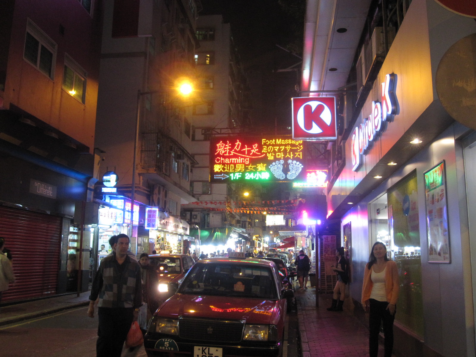
Seedy
time looking at the lower part of Temple Street Market, which was brilliant. The adjacent streets were a bit seedy with lots of places offering Foot Massage and I suspect rather more. Also booths with fortune tellers. If I had visited them the previous evening maybe they could have told me to be more thorough with planning my trip to the Peak.
The next morning I went to the airport on the bus and was able to appreciate the views of the harbour from the bridges. The route also went right past the enormous container port, sometimes said to be the largest in the world and certainly one of the busiest Once on Lantau Island the view changed for several miles to the densely forested hills of Lantau Country Park which provides miles of walking paths away from the bustle of the city.
Hong Kong is much larger and more varied than I imagined, and what I had seen was just the tip of the iceberg. One thing I had not seen was the industry for which it is famed, that being mainly in the New Territories and much is brought across from Shenzhen and other big cities in the Peoples Republic just over the border to the north.
The Octopus card was very successful, being accepted by buses, trains and ferries, and I was easily able to recover the outstanding balance at the airport before boarding my flight home.
It's the same everywhere
Georgia {ex USSR} 2018
CLICK ON PICTURES TO ENLARGE.
Georgia 2018
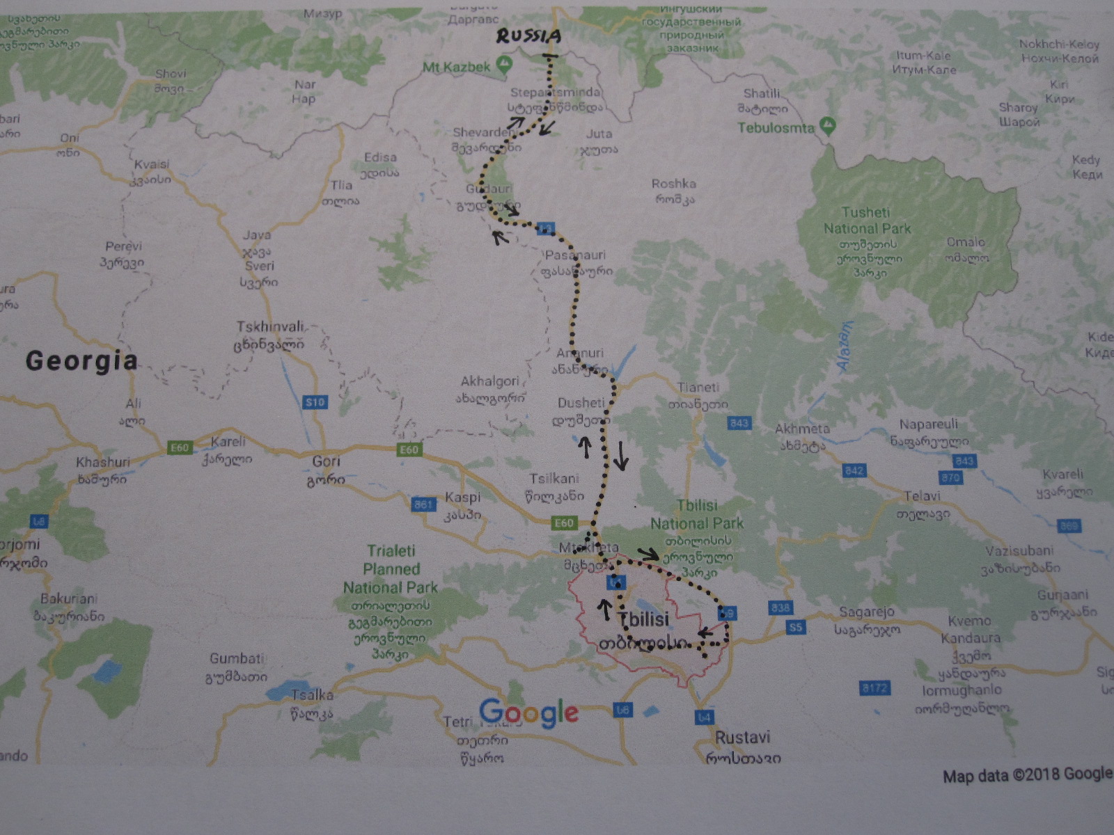 Now, we are talking here about “Russian” Georgia, not the one in the United States. It is one of four countries in the region between the Black Sea and the Caspian Sea known as the Caucasus, the others being Azerbeijan, Armenia and the southern part of Russia. All were members of the Soviet Union until 1991. The area is geographically in Asia but politically closer to Europe.and I suppose if I was being hunted by the police I might be described as a ‘white Caucasian male’, although this racial link is rather vague,.
Since declaring independence Georgia has had a chequered history with considerable internal strife, leading to two large areas of the country, South Ossetia and Abkhazia, themselves claiming independence. This status is recognized only by Russia and few other countries, and the British Foreign Office advises strongly against visiting those areas as no diplomatic support is available there.
Georgia is not the easiest place to get to from Britain. There are only two flights a week in each direction, from Gatwick, and the outbound flight was the absolute last one of the day at 10.55pm, arriving in Tbilisi at 6.35am the next morning, a Sunday. The plan was to get some rest on arrival if possible and then spend some time looking round Tbilisi before getting an early night to catch up on some sleep, so that I would be in a fit state to pick up my car on the Monday morning.
The people at the Amadeus Hotel were very helpful, arranging for a taxi to pick me up from the airport and allowing me to check in early for some rest as I had hoped. I had chosen the Amadeus in the belief that it was near the place where I would be picking up the car, but that proved to be incorrect, and when the confirmation came through from Avis it turned out that the car hire office and garage were right in the city centre.
Uncomfortable
At 11.00am, after resting, I set off on foot for the city centre which was about two miles away. The hotel was actually on the top of hill, with a long flight of steps leading down to a huge roundabout and flyover system. Getting through that entailed walking though deserted graffiti-lined passages and tunnels which was slightly uncomfortable, but I could not see any alternative route. It was then an uphill walk for a fair distance, and with the hot weather I was soon starting to flag, so decided to hail a taxi, of which there were many around. Within a short time the road changed into very smart avenue lined with some quite impressive buildings, not at all what I had expected in Tbilisi. The taxi driver did not miss the opportunity to point out what a fine city it is.
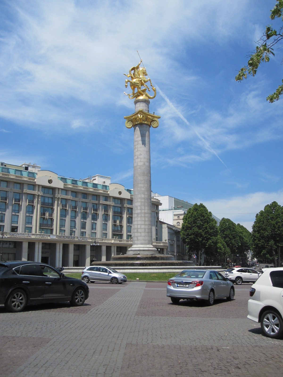
Freedom Square
I wanted to call in at the car hire office in Freedom Square to change the pick-up time for the next day, so the taxi driver dropped me there. Freedom Square is the equivalent of Trafalgar Square in London, although somewhat smaller, and has a column in the middle with a golden St.George and the Dragon on top of it instead of Nelson. St. George is the country’s patron saint, shared with England and several other nations, but apparently did
Old town
not give rise to the name of the country. After dealing with Avis I had a snack in Dunkin’ Donuts, a company which strangely has a strong presence in Georgia. The old town is immediately adjacent to the Square and unlike many ‘old towns’ it has not undergone any significant restoration, having a large number of genuinely old buildings in extremely dilapidated condition. From the state of some of the balconies overhanging the street I can only assume that they do not have a very strict building inspectorate.
Rustavelis
Walking back along Rustavelis, the fine avenue along which I come in the taxi, it was an opportunity to study the route that I would take in the car the next day. Tbilisi has an astonishingly complicated road system, with largely one-way streets, and I could see that it would be very easy to go wrong. I found the big junction that was below the hill with the hotel on it, but failed to find the long flight of steps and eventually finished up climbing the wrong hill!. After scrambling through an area of rough woodland I got back to the hotel exhausted. At 9.00pm I asked the lady in charge if there was a restaurant nearby, and she directed me to one not far away.
When I emerged from the quiet streets around the hotel it was an unbelievable sight, a road with shops and restaurants all open late on the Sunday evening. These included what appeared to be a new McDonalds with a line of expensive cars stretching back down the street from the DriveThru. This was not what I had expected to find in Georgia at all.
Jimny
The next morning (Monday) the hotel arranged for a taxi to take me to Avis in Freedom Square to collect my car, theplan being to drive up the Old Georgian Military Highway to the Russian border. Because I thought the roads would be bad I had reserved a Suzuki Jimny (small 4x4 jeep) which is crude and not very comfortable, but has a reputation for being tough and good on rough ground. My night stop would be in Stepantsminda (also known as Kazbegi), a ski and hiking resort about 95 miles from Tbilisi, where I was hoping to find a hotel on arrival.
After doing the paperwork I had wait a while in the Avis office before a man came in and said the car was outside. This was at the side of the road in Freedom Square. We went out to it, completed the condition form and checked the spare wheel and tools. The man went back into office, leaving me to get sorted out. I adjusted the seat and mirrors, and was just setting up my phone and tablet for navigation when two policemen appeared. They did not speak any English, but wanted the car document, which I showed them. I pointed to the Avis office and said “rental”, thinking that they would go away. But no, it was clear that they meant business, and within a short time instead of going to the Russian border I would be languishing chained to the wall of a rat-infested Georgian prison. Fortunately the Avis man saw what was happening from his office window and came rushing out to speak to the police. He said to me “Go on, go” so I had to drive off into the city centre traffic without my navigation gear working.
By some absolute miracle I found my way down to the riverside, and once I was there I thought if I followed the embankment northwards it would lead me to the Old Military Road, which turned out to be correct. The driving in Tbilisi was not too bad, but when I got on to the single carriageway main road it was dreadful, with a lot reckless overtaking going on in both directions.
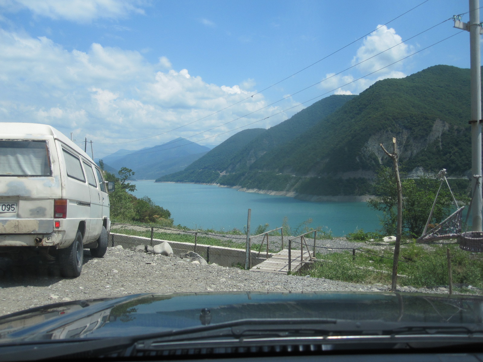 This continued for about 10 miles as a flat, straight road with uninspiring scenery before entering a more attractive area alongside a river which eventually turned into a lake. The road then climbed into mountains with much less traffic and really outstanding scenery, passing a number of interesting places that I resolved to have a look at on the way back. Most of the other vehicles in both directions were lorries going to and from Russia, as this is now
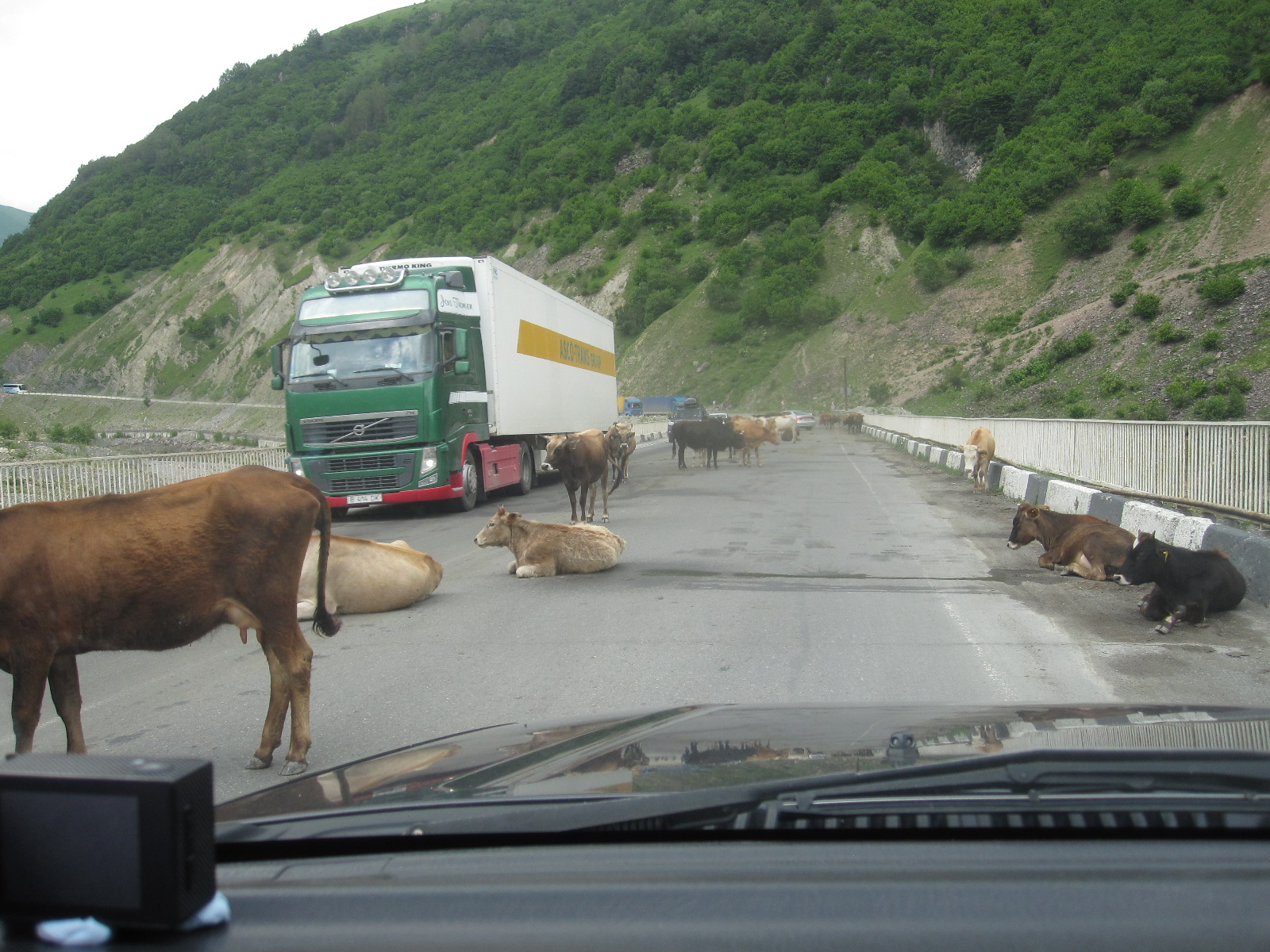 the only road link between Russia and Georgia open for normal traffic. It climbed for miles with steep hairpin bends and was very slow going at times. Mostly the surface was good, with a few rough stretches, and in one place there were cows all over the road, like India, although I don’t think they are revered to the same extent. About 15 miles before Stepantsminda is the Jvari Pass (7,815ft), with an extraordinary monument to Georgian-Russian friendship, which I decided to look at on the way back.

Mount Kazbek
According to one route plan I had read the journey would take just over two hours, but that must have been written by Lewis Hamilton, because it actually took about five hours to get to Stepantsminda. This turned out to be a small straggling town, with a considerable number of places offering accommodation, and I chose one called the Easy Hotel (nothing to do with easyJet) with good parking in the town centre. It had a view of the snow-covered peak of Mount Kazbek, a dormant volcano and at 16,558ft the highest mountain in eastern Georgia.
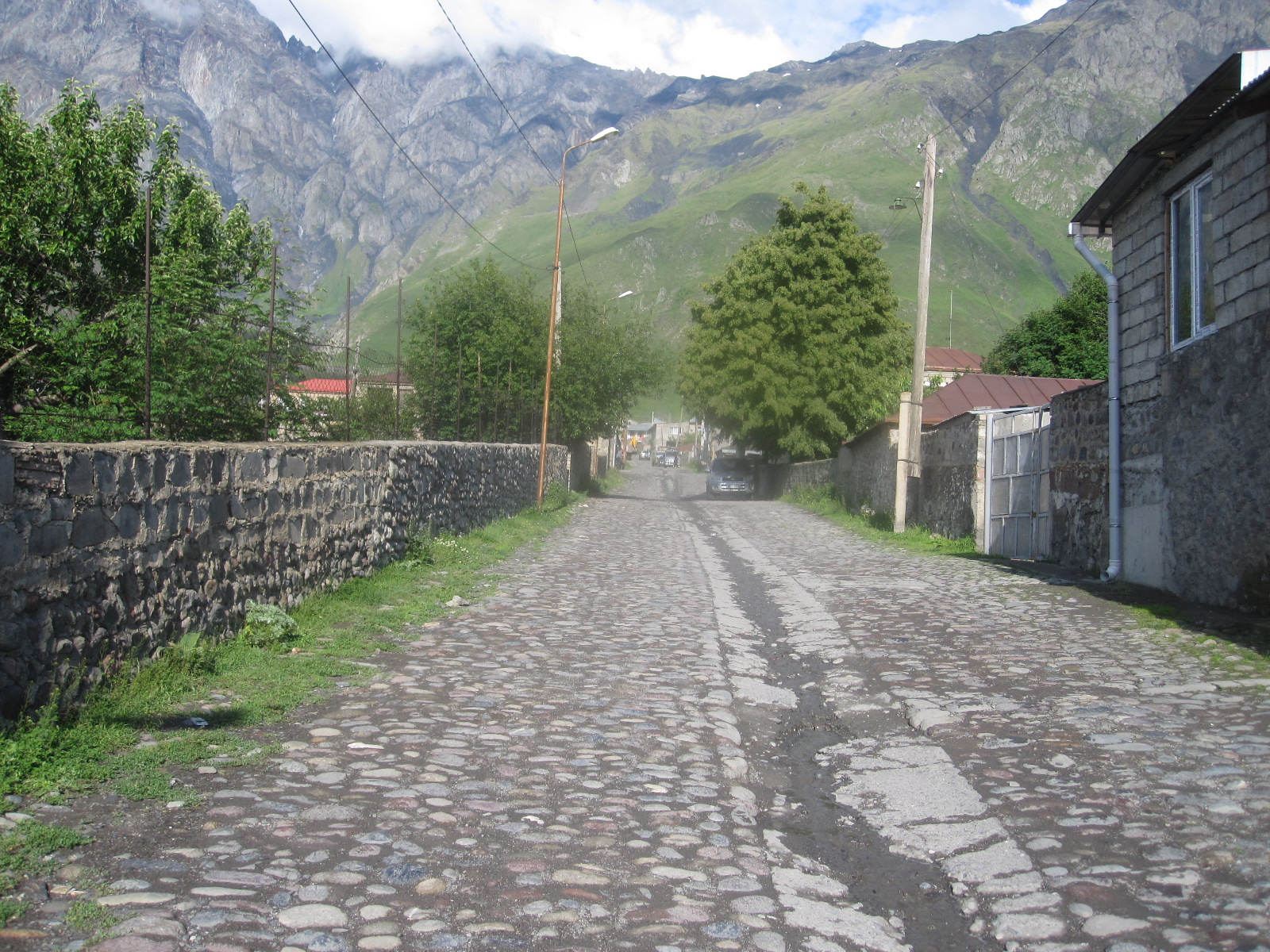
Back street
Once sorted I went for walk round the back roads of the town. Places like this are always interesting, because most houses have some land attached, and people often keep things that in a more densely populated area would be disposed of. There were a lot of Russian ex-military vehicles around, and various other items of machinery, including an old wind generator designed to be independent of wind direction. The roads were all roughly surfaced. The main street was quite touristy, with shops and cafes, one of which was a converted railway carriage. Visitors had arrived in a couple of buses, and the place was fairly busy.
After an uninspiring breakfast the next morning I set off for the Russian border, about 10 miles away. Shortly after leaving the town the road entered a gorge with the mountain face on the left hand side and a sheer drop on the right, protected by a concrete barrier. The scenery was magnificent. For most of the distance it was bend after bend, and some places it was possible to see the road in front suspended from the rock face over the sheer drop. The surface was mostly reasonable, with occasional large potholes, and in one place it was broken up completely for about 20 yards, causing me to come down to walking pace and pick my way over big lumps of tarmac and rock. This could easily lead to serious damage in an ordinary car, and I was pleased that I had the robust little jeep with its high ground clearance.
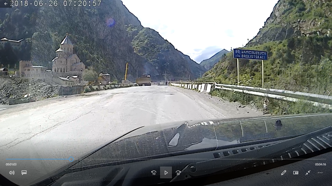
Dariali Monastery
Immediately before the border there was a lorry park and a massive construction site which was obviously to be a high level road leading to new buildings on the Georgian side of the border checkpoint. As it was, the road was a complete mess, coming down to single vehicle
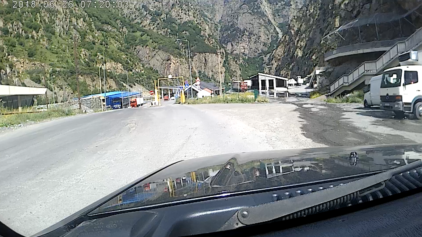
Russia ahead
width and changes in the level of the road that were on the limit for the jeep. The few cars going through seemed to know exactly the line to take to avoid damage, but I was glad not to be in one. I followed a lorry through the narrow section and as I came out was amazed to see the Dariali Monastery, a complex of beautiful buildings set back from the road. It seemed very out of place in what is now a hostile environment, but when the work is finished it will hopefully revert to a more peaceful existence.
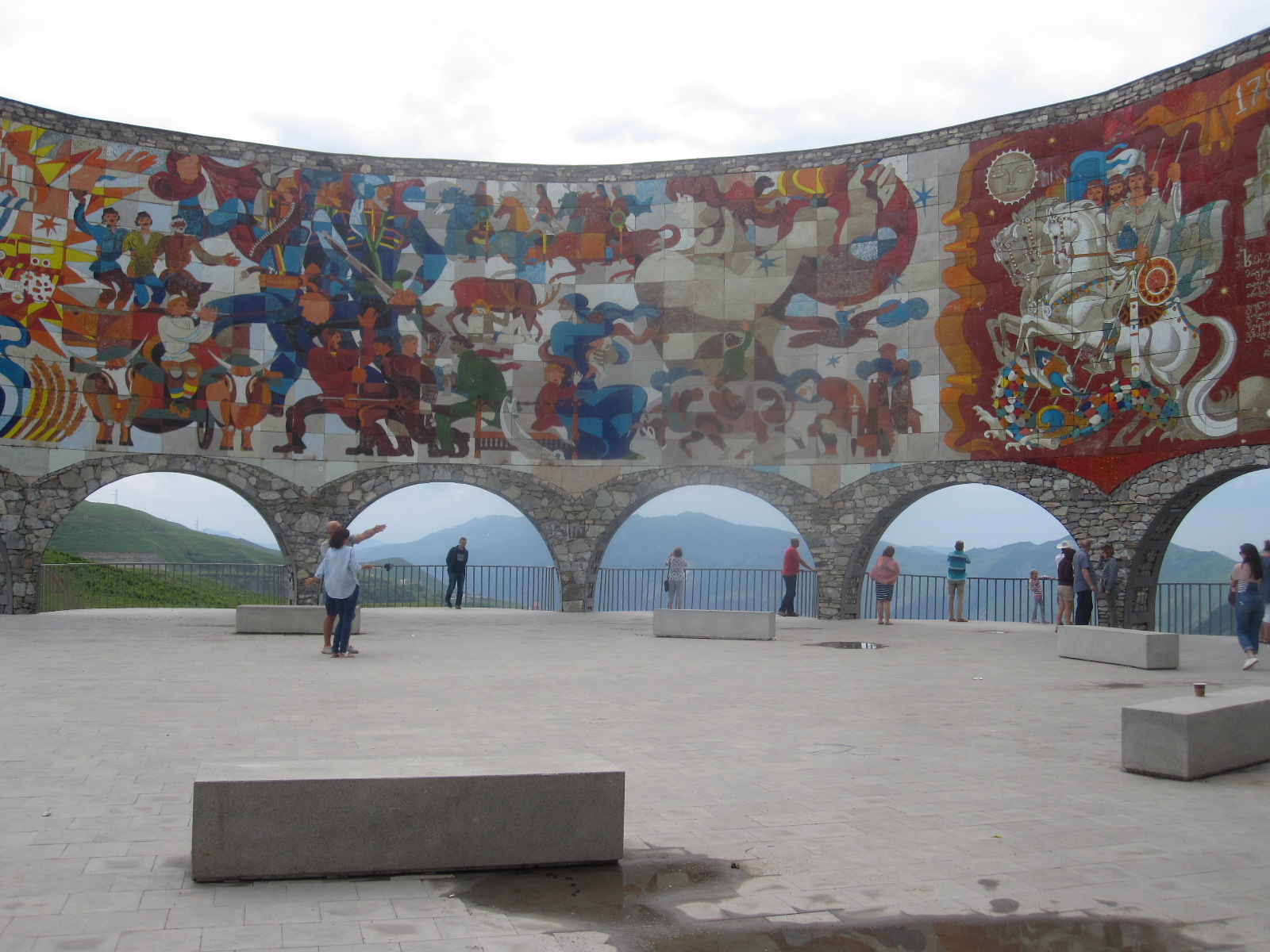
Friendship monument
In front of the border control buildings I turned round and retraced my steps through the mess to Stepantsminda and onwards in the direction of Tbilisi. As planned I stopped on the Jvari Pass to look at the Georgian-Russian Friendship Monument, an amazing curved concrete structure with massive murals above archways with superb views across the mountains. Although it was a weekday the car park was almost full and there were many people around, some using the nearby quad bike practice area. South of here the road runs about 2km from the forbidden territory of South Ossetia.
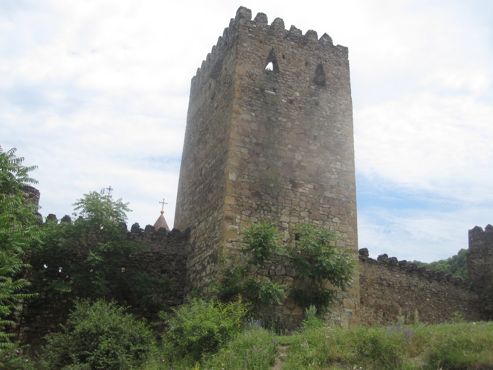
Ananuri Fortress
The next stop was the fortress of Ananuri, on a hillside near the road 45 miles north of Tbilisi. With beautiful views overlooking a reservoir in the valley this is a major tourist attraction. As it consists mainly of two churches within a walled area I could not go in because I was wearing shorts, a rule that applies to most religious buildings in that part of the world.
My target for the day was a town called Mtskheta, some distance north of Tbilisi. Often regarded as the spiritual capital of Georgia, it is one of the oldest towns in the country, dating back almost as far as the 3rd century BC. The maps in my phone and tablet showed a number of hotels in the central area, all of which turned out to be in narrow streets with no parking facilities. Eventually I found a good, big hotel, the Mtskheta Palace, overlooking a river within walking distance of the centre, all for the equivqlent of £27 per night including breakfast.
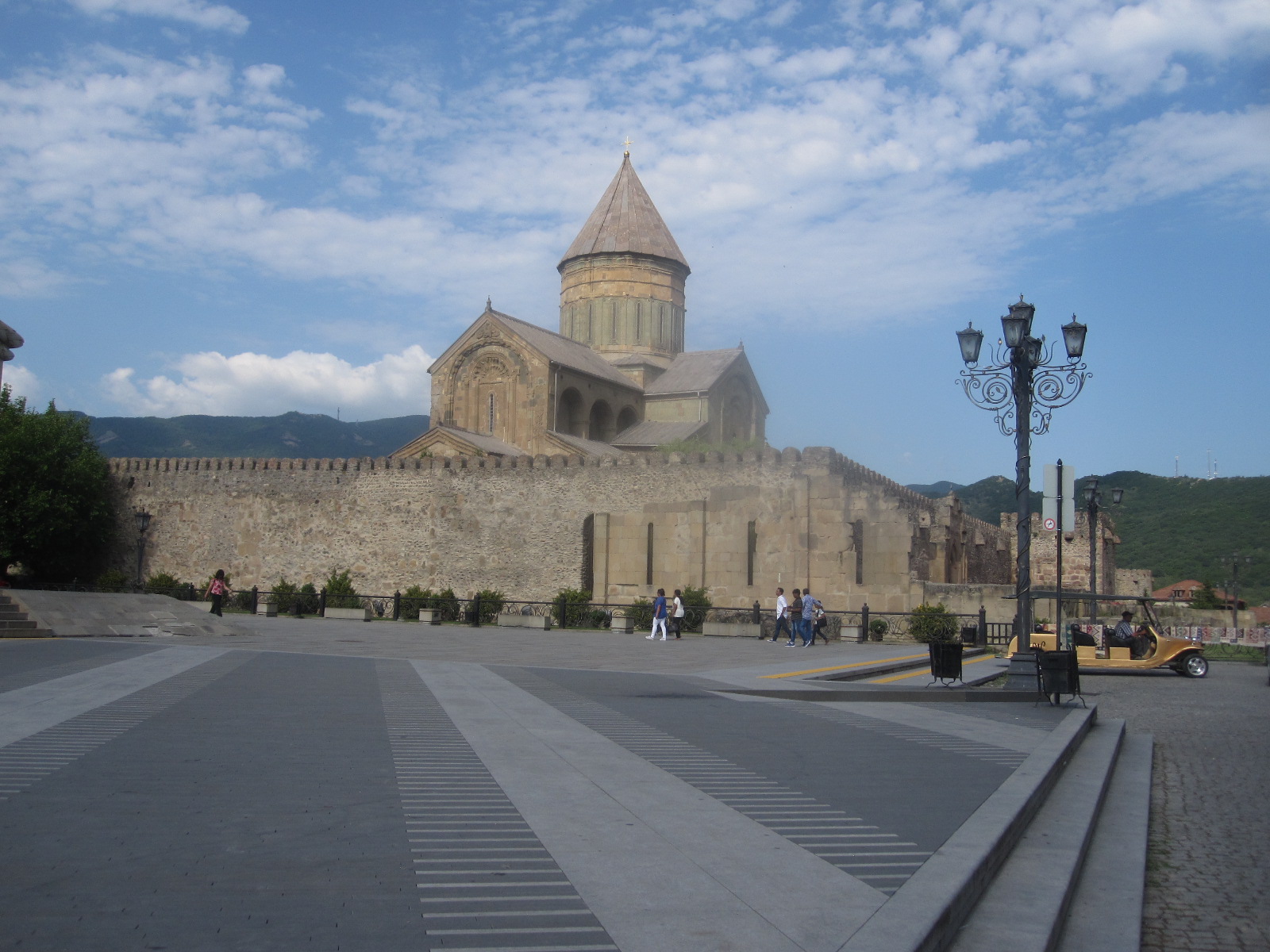
Svetitskhoveli Cathedral
The town is centred around Svetitskhoveli Cathedral, a beautiful walled church dating from the 11th century and claimed to be the burial site of Jesus’ robe and several Georgian monarchs. It is surrounded by old stone buildings housing shops and restaurants. Overall I thought Mtskheta was a pleasant town and worth visiting, although I was too late to go into the cathedral.
The next morning I set off for the airport via the cross-country route b9 missing out Tbilisi. This was a straightforward drive through good countryside, with a few stretches of dreadfully broken-up road, where again I was pleased to have the jeep. I stopped for coffee at a place like a truck stop with a huge car park and a couple of buildings in front of which were people, mostly men, sitting drinking. A lady came out from a building and I asked for a coffee, but she seemed to be completely unable to understand. When I started walking back to the car a man shouted and waved a tin of Nescafe. I said “Yes” and within a short time a cup of mind-bogglingly strong Nescafe appeared.
A couple of the men tried to enter into conversation with me. When I said “English” they said “Rusky” and I concluded that they were Russian lorry drivers. Somehow we managed to hold a conversation about where I was from and what I was doing, and we parted good friends. The lady from the café refused to accept payment for the coffee, apparently because I was considered to be good entertainment, a situation I have encountered elsewhere.
A few kilometers before the airport was the entrance to a massive shopping mall consisting mainly of market stalls, and as I had a some time to spare I went in. It really was vast, stretching about 400 yards back from the road and about 600 yards the other way, reminiscent of the Grand Bazaar in Istanbul. When I came to go back to the car I got completely lost in all the aisles and had to use my phone to find the way.
By now the car was quite dirty, and one of the conditions of the car rental was that it must be returned clean, otherwise there would be charge of 15 euros. The map in my tablet showed a car wash just off the road into the airport. When I found it it turned out to be two or three blokes on a piece of rough land with a shed. They had just finished washing a car, and I pointed to mine and said hopefully “Wash car?”. They looked at one another, shook their heads, and said something like “Nah”. It was very hot weather and I suppose they had done enough for the day. Anyway, when I returned the car to Avis the people didn’t say anything and there was no charge.
My overall impression of Georgia was quite favourable, much better than I expected. Despite its recent turbulent history it seems to be doing quite well. The scenery in the area I went to was really good, and I believe most of the rest of the country is similar. Generally things are cheap by our standards and apart from the police and car washers the people I met were friendly and helpful .
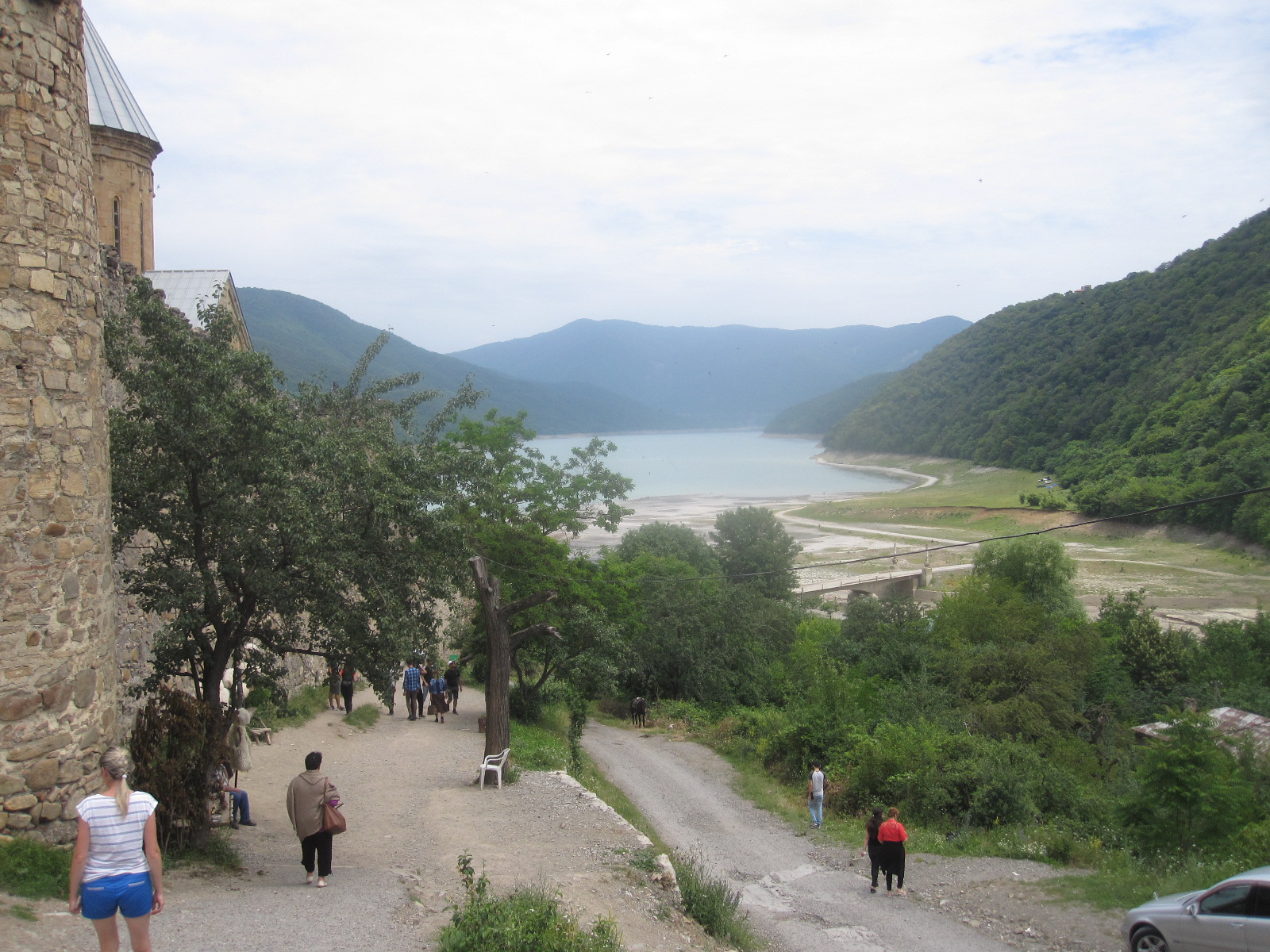
Ananuri View
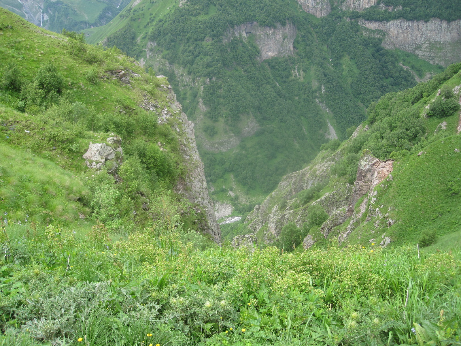
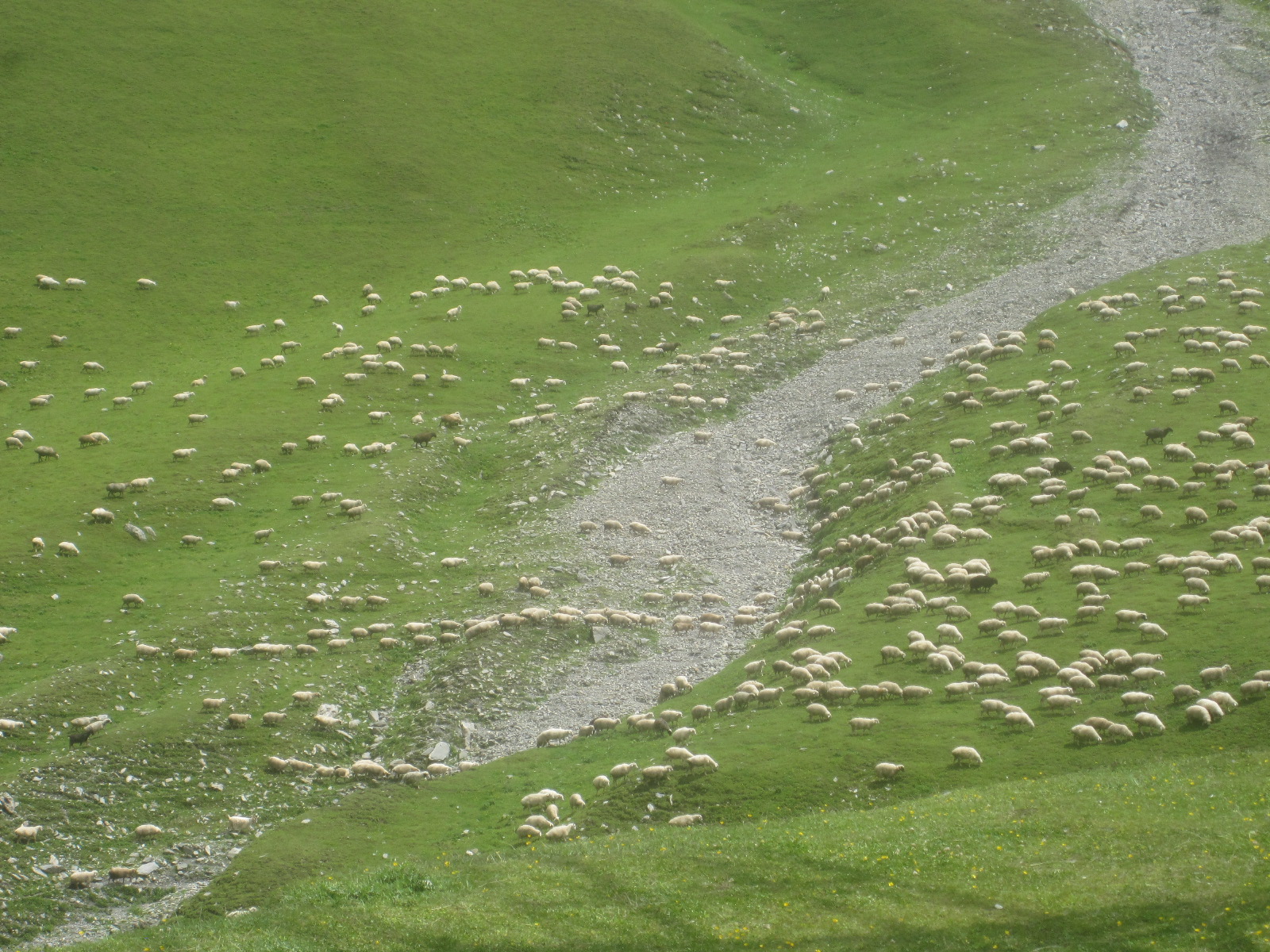
Florida 2018
CLICK ON PICTURES TO ENLARGE
 It was only 15 months since my last visit to the USA, but nine years since I was in southern Florida, that trip having been written up at length elsewhere on this site. It was also my first opportunity to experience a transatlantic flight with a low-cost airline (Norwegian) in a Boeing 787 Dreamliner, from Gatwick to Fort Lauderdale. American immigration procedures seem to change all the time, with some parts of the process now automated, but it appeared to have more stages than before and took just as long.
At the Alamo car rental depot I was sent through to the garage to choose “any car from the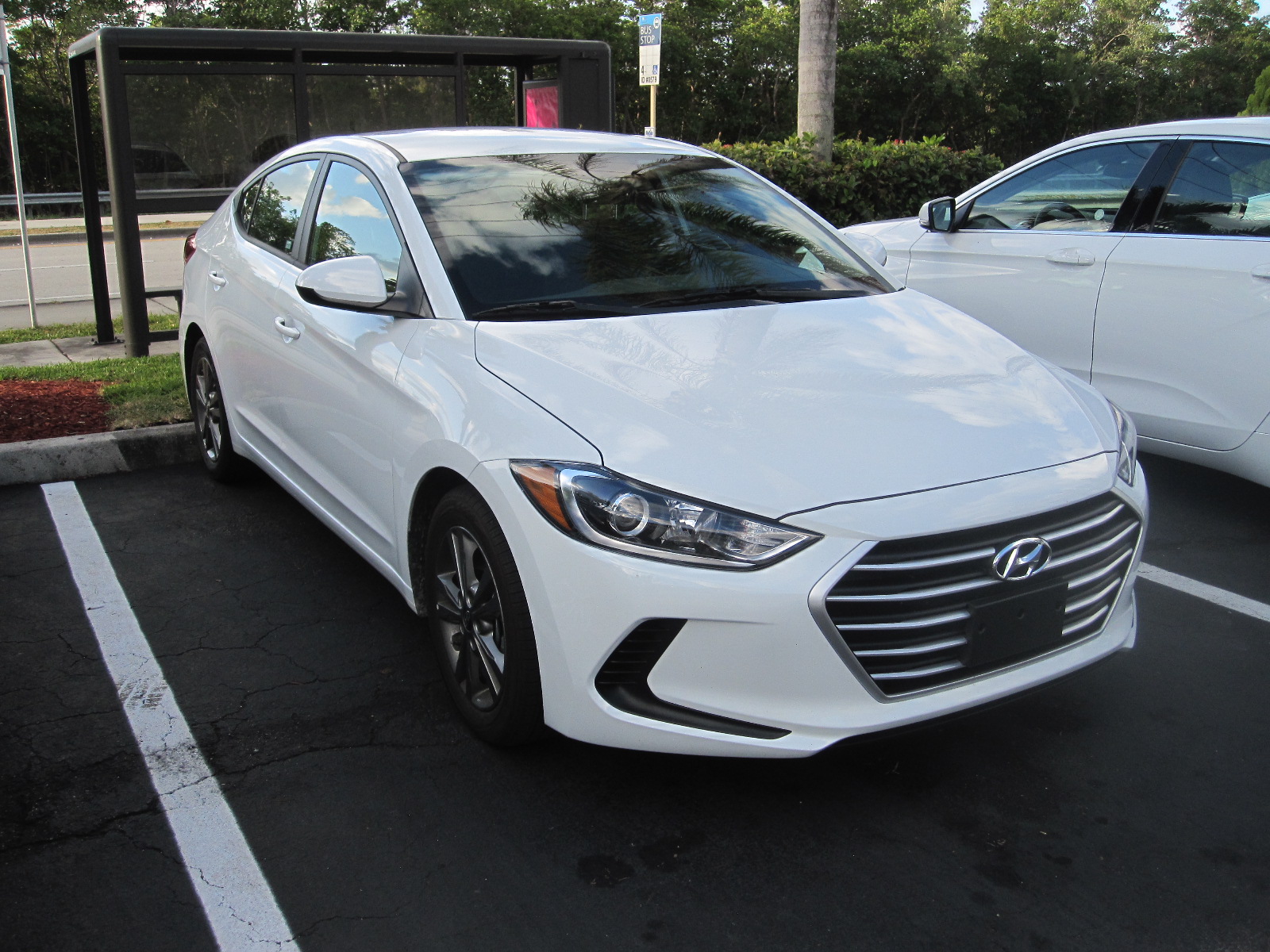 medium lot”, which consisted of a row of about 12 cars of various makes and colours. For Florida you need a white car, because however good the air-conditioning is, a darker colour will be unbearably hot inside after it has been parked for some time in the sun. There were only two white cars, and the end I chose a Hyundai Elantra, which is what I had actually asked for.
Getting from the airport to accommodation at night in a strange car after a long flight is probably the most hazardous part of the whole trip, but I managed to reach the rock-bottom Motel 6 Dania Beach without incident, in time for a full night’s sleep.
I had originally planned to take this holiday in November, but had to postpone it until March for various reasons. When I rebooked the accommodation I realised that prices were much higher and availability more limited, as early March is the peak season for Florida, and coincides with the students’ Spring Break. Fort Lauderdale was the traditional home for the Spring Break before they moved to Daytona, but it seems to have regained its popularity to some extent.
Florida weather is not totally predictable in March, and when I went out the next morning it was about 55⁰F, which is cooler than I would have liked, although characteristically it warmed up quite quickly into the lower 70s.
In bygone days I always went out for a full American breakfast consisting of a stack of pancakes and syrup together with eggs, bacon, other fried items, and possibly fruit all on the same plate. Sadly my insides will not stand this every morning nowadays, but I did indulge on the first day at Joe’s Café, a popular eating place at Harbordale, about 2 miles away.
In peak season it is difficult and extremely expensive (several dollars an hour) to park in many of the beach areas of southern Florida, and it occurred to me some time before I went that a folding bicycle that I could take in the car would be useful. I had recently seen one in a boot sale in England for £25, and something like that would be perfect. The place to find one would be one of my old haunts, the vast Fort Lauderdale Swap Shop a few miles away on the western side of the town, so that is where I made for after breakfast. The Swap Shop is a huge indoor and outdoor market and boot sale, which turns into a 14-screen drive-in movie theatre in the evening.
The whole establishment belongs to Mr.P.Henn who is a car enthusiast and collects cars mainly with a top speed of about 200mph. He has a museum at the site, and the collection has grown from about 12 on my previous visit to around 30 now.
There were a number of bicycles on offer, but no proper compact folding ones, and I think this is because cycling in America is mainly for people who are too young to drive a car or the lycra brigade, who ride around with the same expression of grim determination on their faces that Americans put into all their leisure activities.
On the way back to the motel I called at three bicycle shops, but all they had in folders were new German Dahon ones made in Taiwan, the same as the one I have at home, so I abandoned the idea. I also went into a Walgreen pharmacy (owner of Boots in the UK) for a couple of things, and was amazed at how expensive a lot of things were. The pound has actually gone up against the dollar since my California trip, and I am sure there has been inflation of the dollar prices in recent times.
The route back to Motel 6 took me along Fort Lauderdale Beach and Las Olas Beach, which were absolutely packed with people and no hope of parking.
The evening meal was something of a surprise. Shortly before going to the States I read a novel by a south Florida author and professor named James W. Hall, involving the creation of a new species of fish called red tilapia, which would be worth a fortune. I had never heard of tilapia, and thought it existed only in the realms of fiction until I looked at the menu in the International House of Pancakes and saw a meal called Tilapia Florentine with baked tilapia as the main ingredient. There are in fact many species of tilapia, though possibly not red ones, and certain aspects of tilapia farming and consumption are controversial. Anyway, it was delicious and there have been no after effects at the time of writing.
No Parking in Little Moscow
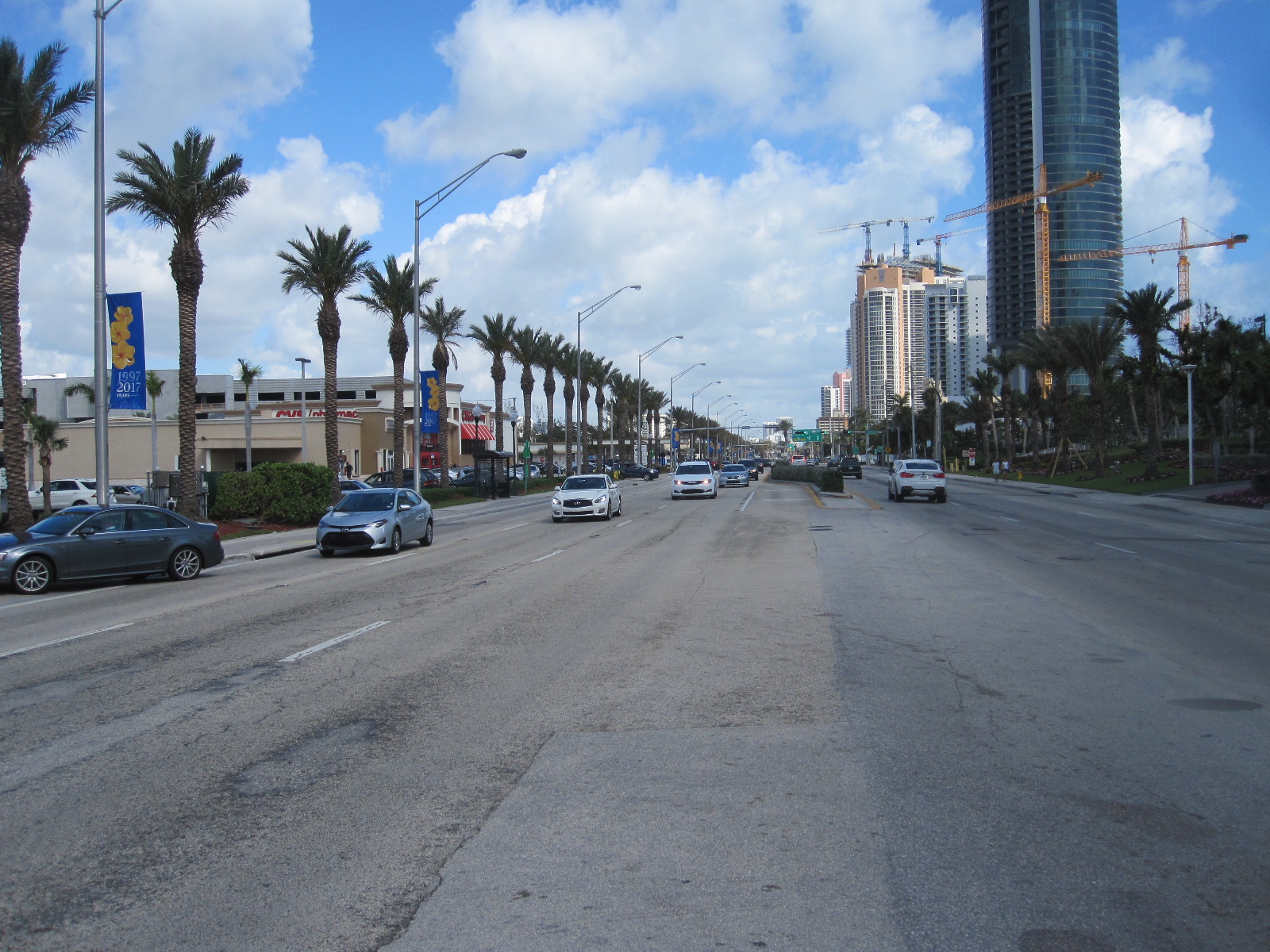
A1A Sunny Isles
The plan now was to spend the next day looking at the east coast beaches down to North Miami, and then drive across to Naples on the west coast in the afternoon In the morning I started out early, but not as early as I thought, because I discovered that the clock had changed by one hour in the night. Motel 6 is actually on route A1A which runs close to the coast right down to Miami via Hollywood, Hallendale and North Miami Beach, this Hollywood being a very far cry from its namesake in California. The whole area is a heavily built-up coastal strip with limited and very expensive parking. I was hoping to get breakfast in a place called Sunny Isles where I spent some time in the late 1980s, and where there are several strip malls (precincts of small shops with time-limited parking). On one these I found a bakery/café with a very pleasant waitress who had worked for a while in London, and after chatting her up a bit she offered to let me leave the car on their private car park for a couple of hours while I went on the beach.
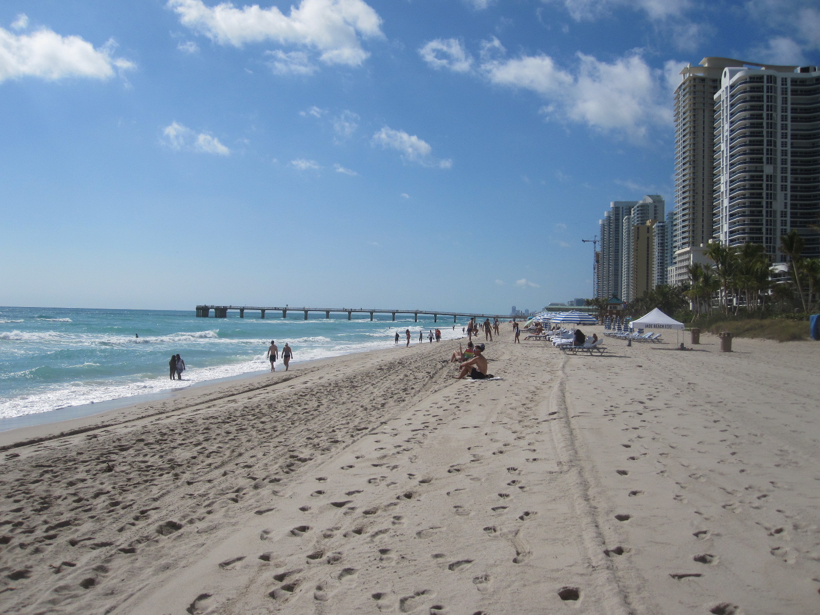
Sunny Isles Beach
Between the road and the beach are three identical 45-storey skyscraper ‘condo’ blocks and three smaller ones, comprising the Trump International Beach Resort, all built in the last 10 years. At least a third of them are occupied by Russians and the area, including Hollywood, is known as Little Moscow. When I first went there 30 years ago a lot of the residents were elderly German-speaking Jews and, during the holiday season, French Canadian ‘snowbirds’, but most of the holiday accommodation has now gone and the Russians have taken over in a big way.
It was not perfect beach weather, slightly cool and with a strong swell, but ideal for walking down to the wooden fishing pier. In both directions there were enormous buildings as far the eye could see, with a few of the original shabby 2-storey motel blocks tucked in between. Sadly the art deco reception buildings facing the road have long since disappeared. I walked back along the road to the café for another apple pocket (turnover) and coffee before driving along to Hollywood. With some reluctance I put the car in a multi-storey car park at 4 dollars an hour and went through to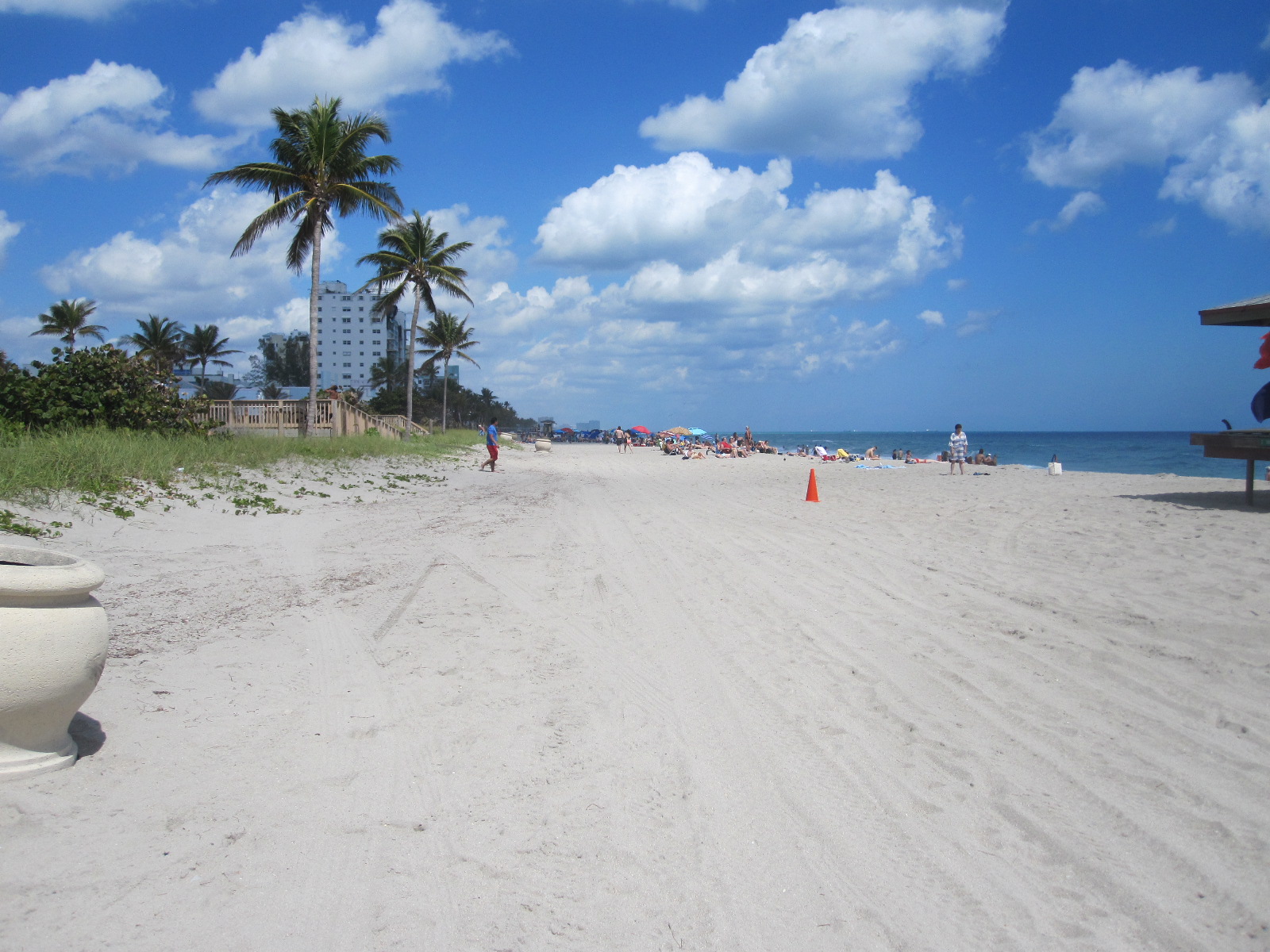
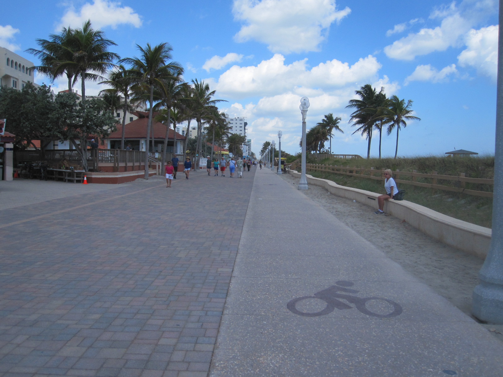
Hollywood
the beach. Hollywood has a classical American ‘boardwalk’ (actually tarmacked) on the beach lined with palm trees, a hive of activity, with walkers, skateboarders, cyclists and pedal-powered contraptions carrying up to four people. At the side was also an ingenious continuous wave on which people were practising surfing. This is where the bicycle that I didn’t have would have been perfect. Hollywood seemed to have been spared large-scale development, and most of the single storey motels that I remembered from 30 years ago were still there, albeit somewhat smarter.
Moving on West
Time to drive on to Naples, over 100 miles away on the west coast, via the Interstate I-75 toll road. The toll was $1.50, laughable by European standards, and with the light traffic it took well under two hours to reach the Spinnaker Inn motel. As flat as a pancake and mostly dead straight, the highway runs right through the Everglades. More about that later. The Spinnaker Inn is a traditional motel, where you can park in front of your room, which I like, although the British Foreign Office travel advice is to avoid such places because they are easily accessible to strangers. There were two or three restaurants adjacent to the site.
 After surviving the night without getting mugged or shot I drove into central Naples which is a stylish upmarket area with mostly free parking. Presumably this Naples is a one-time descendant of the one in Italy where you would probably be far more likely to get mugged or shot. The open restaurants were very expensive so I went back to the main road and found Another Broken Egg Café for breakfast. As I was a new customer I got two items free!

Naples Beach
On to the beach via the vast smart residential area that stretches for miles along the coast. No problem in finding free parking near the wooden fishing pier, which was barred off half way along due to damage from the recent hurricane Irma. Some of the big houses with enormous gardens set back from the beach were also being repaired. After a long walk on the wide sandy beach I went through to Old Naples for a coffee in the Bad Ass Café, the clientele of which did not seem at all appropriate for the name and more like the sort of people you would expect to find in the adjacent smart shops.
Naples to Venice and beyond
 Next stop was Fort Myers Beach via Bonita beach. Development has been rife here, with limited beach access and expensive parking in places where it used to be free. As I walked along the beach I came across a bench facing the sea with a big sign stating Courtesy of THE FORT MYERS BEACH DIRECTOR OF SUNSETS Harry N Gottleib, over a picture of a gorgeous sunset. Back in the car it took an hour to drive the three miles to the centre of Fort Myers Beach due to the whole place being taken over by Spring Break students wandering all over the road.
Probably the most famous thing about Fort Myers is that it was the winter home of Thomas Edison, Henry Ford and Harvey Firestone, among other wealthy northern industrialists. My route took me along the tree-lined MacGregor Boulevard past their homes and the Edison Museum, which I visited years ago. It was slow going all the way to the Tropical Palm Motel, which was considerably less exotic than it sounded.
In the motel I picked up a leaflet about Rick Treworgy’s Muscle Car City, which was on the main road at Punta Gorda, about 20 miles north, and resolved to visit it in the morning. When I got there the sign was in place in front of a large concrete building which was in the process of being
UTV
gutted for conversion to another use. I assumed that the museum had finished, and was annoyed to discover later that it had moved to another site about a mile away. A slight consolation was the discovery of a marvellous place called Destination Powersports with a range of fantastic recreational vehicles, the likes of some of which I had never seen before. Called UTVs, which apparently means Utility Task Vehicle, they have a skeletal frame, massive ribbed tyres and a high ground clearance.
Rotonda
From Punta Gorda I cut across to the weird town of Rotunda, a large “deed restricted” retirement community, consisting of bungalows built within a circle of narrow waterways, divided into eight segments, one of which has been left to nature. The circle is about 5 miles in diameter, and most of the shops and services are situated outside it to the north. The whole place was very quiet, almost like a ghost town, and maybe the residents were in the doctors’ surgeries or playing on some of the five golf courses.
From Rotonda I went to somewhere I had never been before, namely Placida, a tiny fishing village on the edge of the Gulf of Mexico. As the name suggests, it was an absolute haven of tranquility on the edge of the ocean, even quieter than Rotonda.
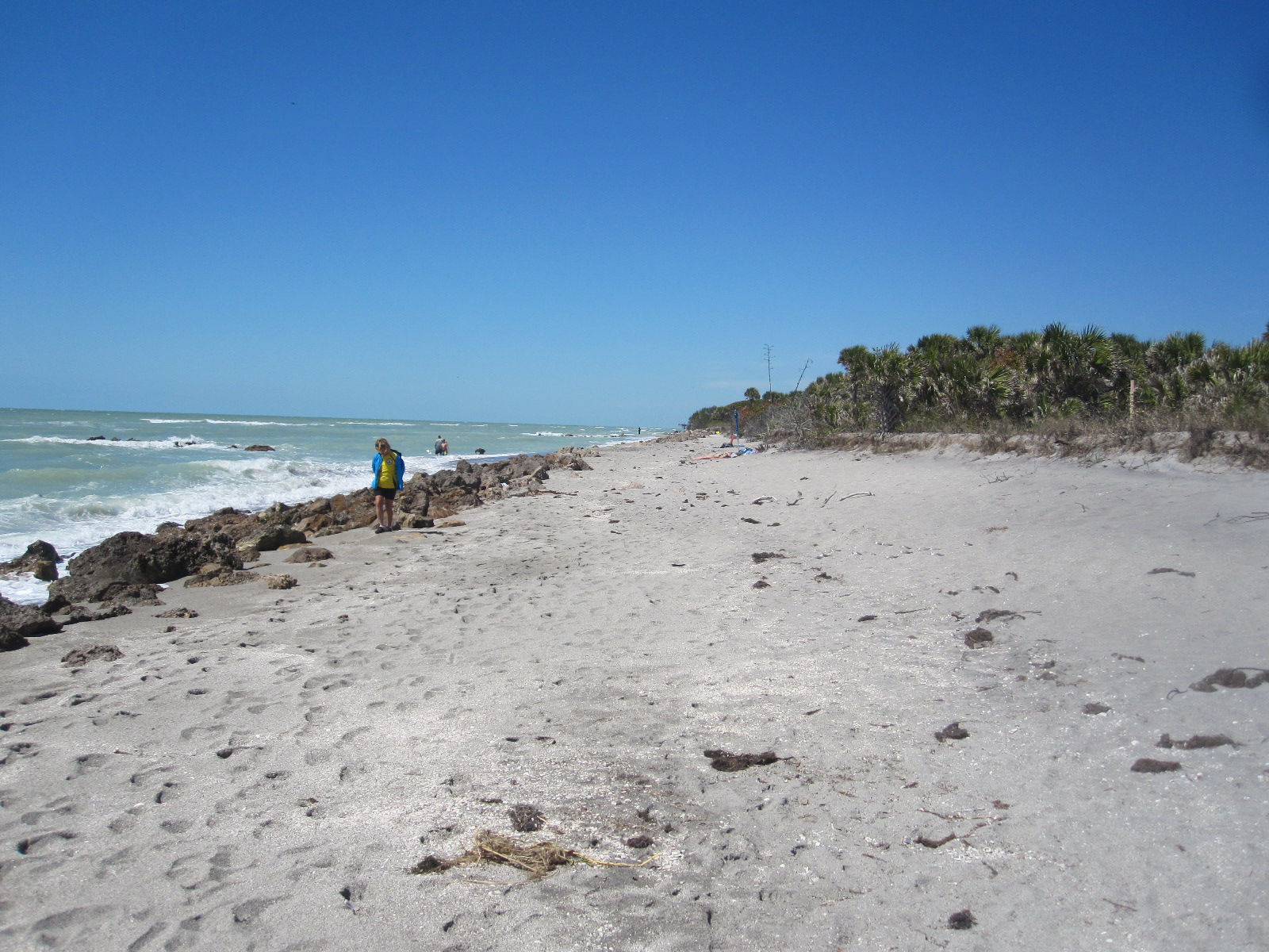
Caspersen Beach
Next stop was Caspersen Beach, a relatively undeveloped place with plenty of free parking in a wooded area within a short distance of the shore just south of Venice fishing pier. Close to the pier is a park with a lake which according to the notices is home to alligators, although I didn’t see any. Certainly not the sort of thing you find in Bognor Regis.
Venice is another smart town, with an Esplanade, fairly similar in character to Naples. After a stretch on US41 again I turned off to Siesta Key and Siesta Village, pleasant not too over-developed places with good
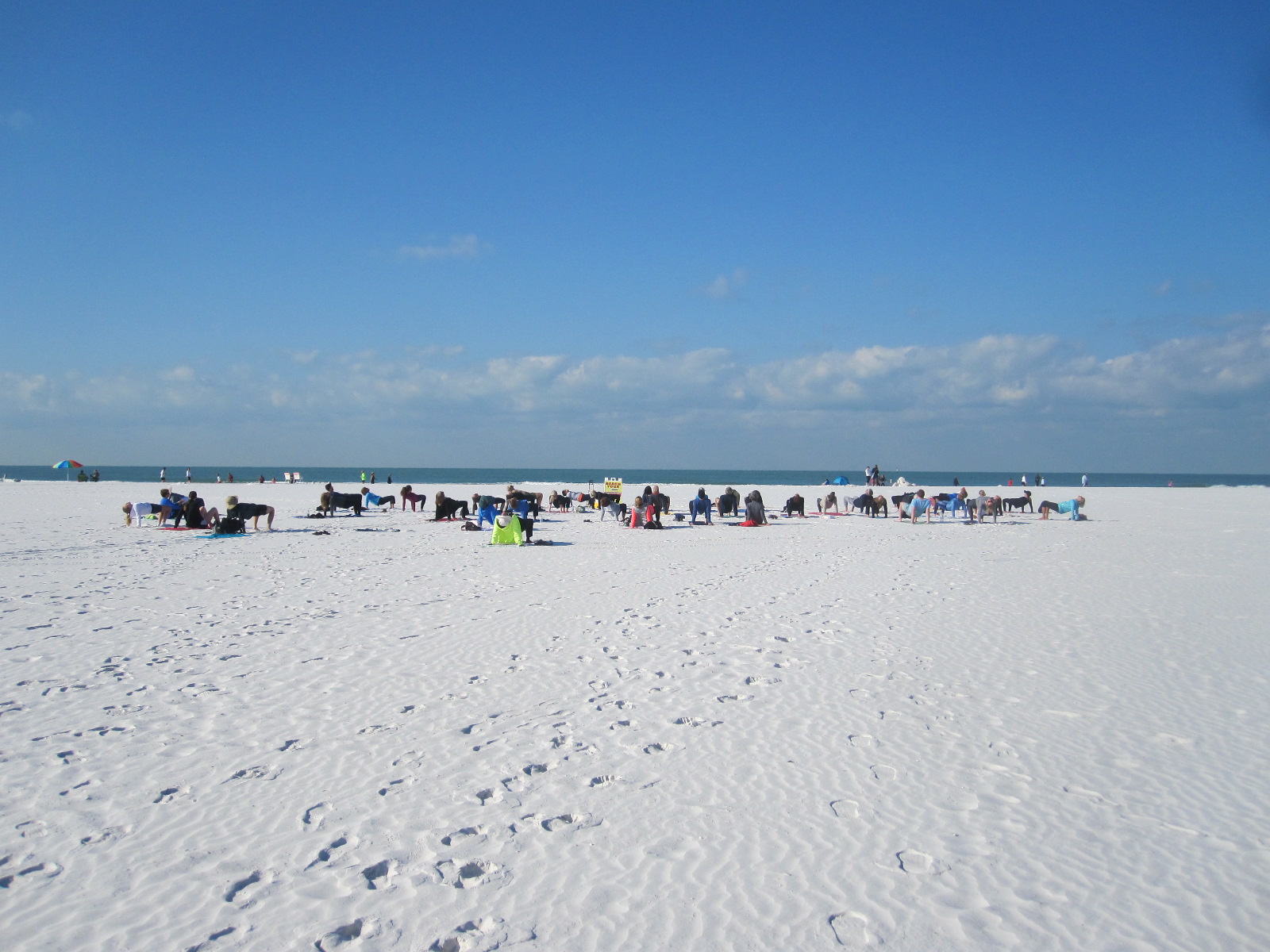
Beach Yoga
beach access. A group of people on Siesta Key beach turned out to be a yoga class that was apparently open to anyone, although I did not take part. On to Sarasota, another city with a European-style main street, and across a long causeway to St Armands Circle and Lido Key. St.Armands Circle is a large roundabout with a little park in the centre and up-market shops and restaurants around the outside. From here you can walk to Lido Key Beach where there is plenty of free parking.
For 15 miles from St. Armonds Circle to Bradenton Beach the road runs along Gulf of Mexico Drive, a narrow strip of land between the Gulf and Sarasota Bay with spectacular views on both sides in places. Leaving the beach behind I drove on through Bradenton to my night’s stop at the Day’s Inn.
St Petersburg
Sunshine Skyway
The plan from here was to drive up to St.Petersburg via the Sunshine Skyway, an 11-mile long causeway with a 4-mile long bridge in the middle of it. It rises to a height of 430 feet and provides superb views across Tampa Bay. The toll for crossing this engineering masterpiece is a mere $1.50. Two long fishing piers beneath it are the remains of a previous bridge that collapsed after being hit by a ship in 1980, resulting in the deaths of a large number of people.
 The first target in St.Petersburg was the Tampa Bay Automobile Museum, of which I had been aware for some time, but had imagined that it would not be particularly interesting. In fact, it was really excellent, with a lot of quite rare and technically unusual cars, mainly of European origin. It is always amazing that in America there are European cars that would be hard to find or may not even exist closer to home.
Pier gone!
One of the top attractions in St.Petersberg for many years has been its pier, which extends from the centre of the city into Tampa Bay, and has been famous for the building at the far end, in the form of an inverted pyramid. I followed the signs from the freeway to ‘The Pier’, but was very puzzled when I got to the place where I remembered it to be, because the road was closed with barriers, and there was no sign of the unique and iconic building. At first I thought I must be in the wrong place, but eventually realised that the building had indeed gone, this being confirmed by signs showing pictures of the old one and artist’s 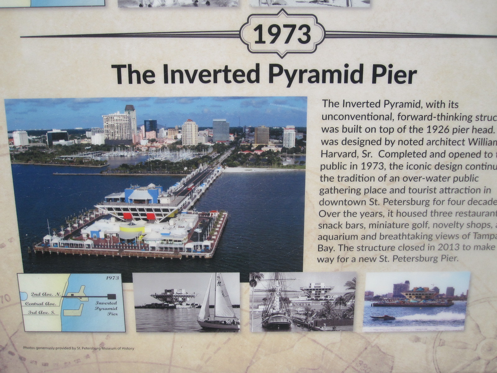 impressions of the new one that was being built. It seems that they just got bored with the inverted pyramid and decided to replace it with a new building of entirely different construction. It is impossible to imagine that happening in Europe, but Americans are much more ready to accept change than people this side of the Atlantic.
Anyway, somebody gave me his 3-hour parking ticket that still had 2 hours left on it, so I went for a look around the centre of the city, with its tidy streets lined with palm trees and generally upmarket atmosphere. It was then time to go back to the Days Inn Bradenton and spend the evening shopping.
Shopping blues
Not far away was the De Soto Square Mall, which was an example of the parlous state of the American retail scene, and perhaps a warning of the way we are heading in Britain. The shopping malls usually consist of two or more ‘anchors’, big stores such as Sears, Macy’s, Bloomingdales, etc, connected by covered arcades of smaller shops and a food hall. In this case the anchors were Sears and J.C.Penny, which were not exactly booming, and at least half of the other businesses were closed. In the food hall only two places out of about six were trading, and it was altogether a very sorry scene. Efforts are being made to revive it by bringing in entertainment centres and other attractions, but its future obviously very much hangs in the balance. The situation has been described as a ‘retail apocalypse’ which will result in a high proportion of American shopping malls closing in the next few years.
Back to Naples
The next morning I set off to retrace my steps back to the Spinnaker Inn in Naples, but calling at a couple of places on the way, namely Ideal Classic Cars, a museum in Venice, and Fisherman’s Village, a quaint but touristy shopping and entertainment centre on the bank of the Peace River in Punta Gorda.
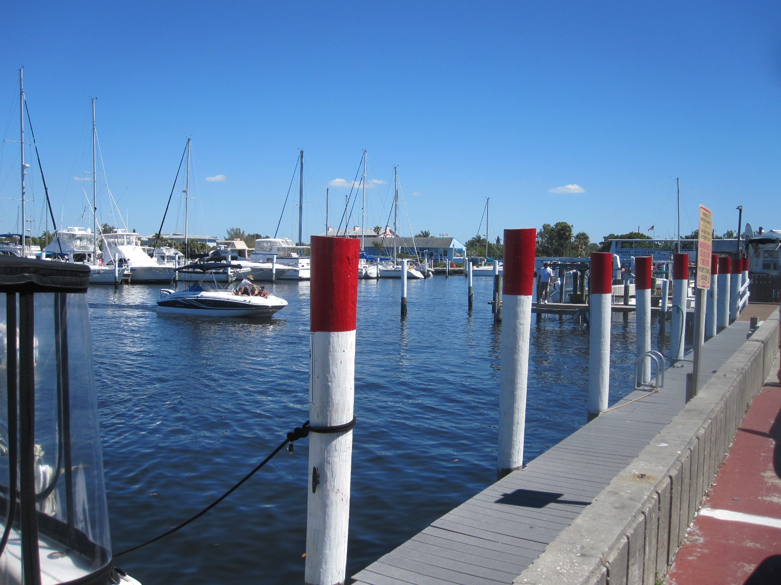
Fisherman's Village
The museum was really a classic car sales business, but had some interesting, mainly American vehicles on show. Entry was free by registering as a supporter, presumably as they hope to see you as a customer one day. Unlikely in my case.
Fisherman’s Village was very busy, and I had to walk some distance from the car, something Americans do not usually do. It consists of shops and restaurants in a large covered arcade between old wooden buildings. There are actually moorings for fishing boats and a walkway alongside the harbour with pelicans and other marine life around.
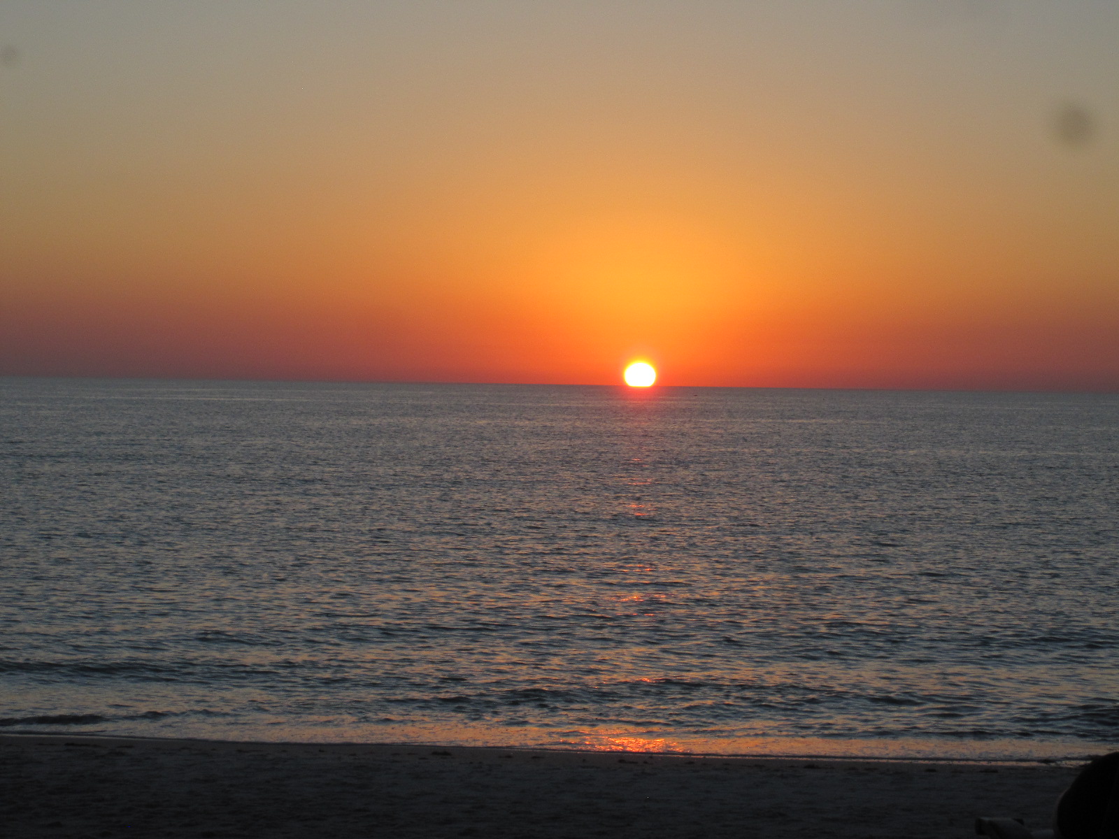 Naples is famed for its sunsets, and as it was a particularly fine, clear, evening I made straight for the beach to see it. Harry N.Gottlieb, the Fort Myers Director of Sunsets, does not have a monopoly, and I think the Naples ones are more famous. If it looks like being a good one a large number of people turn out to watch, including the residents of retirement homes on the beach. When I got through to the beach there were already a lot of people there, many sitting on chairs that they brought with them. I have seen Naples sunsets before and clouds often appear on the horizon at the last minute but this one really was exceptional with a clear sky right through to the end. When the sun finally disappeared the spectators clapped, a very American thing to do (they clap when planes touch down safely).
The next morning, before setting off for Miami I decided to have a look at the beach, but found that it was impossible to park anywhere near. There were many people and families dressed in green outfits flocking to the city centre, and I realised that it was March 15th, St.Patrick’s Day. I have encountered this before in the USA, and it is astonishing that are there so many people who claim to be of Irish descent. The streets around the city centre were all closed to cars with barriers, so I pushed on out of town on US41 towards Miami.
The Everglades
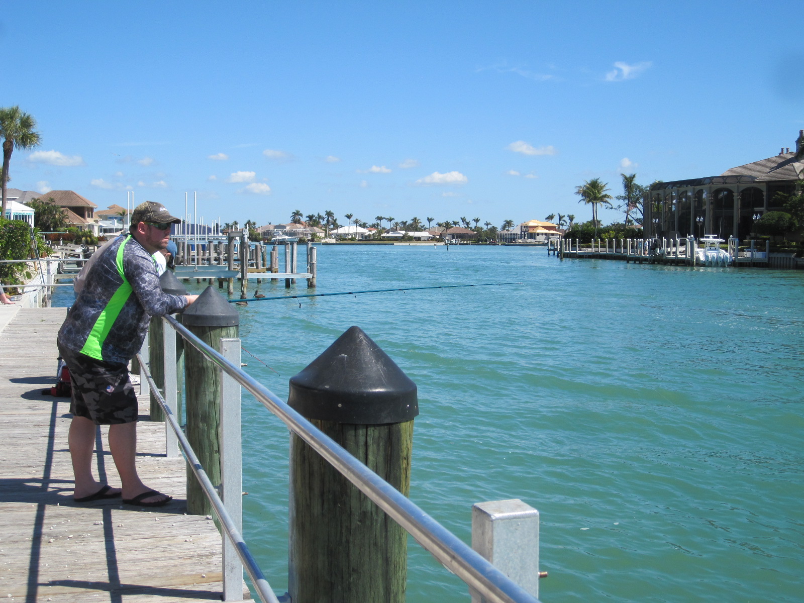
Marco Island
After a few miles I turned off right to Marco Island, which was new territory to me. It is a true island, joined to the mainland by two road bridges, and is mainly residential with limited access to beaches unless you are staying in beach front property. All quite upmarket and undoubtedly expensive.
Returning to US41, within a few miles the road enters the Everglades (though not the National Park) and comes to the turn-off south to Everglades City. I stopped here for a snack at Subway, and while I was in the car park I heard 50 Harley Davidsons approaching at full bore. In fact, there were no Harleys, just a very big airboat packed with people on the river behind the restaurant. Unfortunately I did not have my camera. These machines are considered to be environmentally unfriendly (even more so than Harleys) and are not liked by a lot of people. They are, however, an easy way of getting right into the Everglades and tours are available in various places all the way to Miami, often operated by members of the local Indian population.
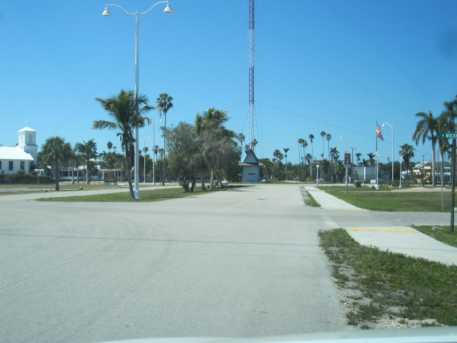
Everglades City
Highway 29 leads south from here to Everglades City, which I had not visited for many years, but it was just as I remembered it, with the white City Hall and other buildings spaced out amid palm trees, presenting a very serene image. A few months ago it had been anything but serene, as it was right in the path of hurricane Irma and suffered a considerable amount of damage and floods.
Continuing on the road from Everglades City brought me to Chokoloskee Island via a bridge and causeway. This place is a bit of a shanty town, best known for the Smallwood Store, a wonderful general store dating from 1906 and preserved with all its contents as a museum including a life size figure of Ted Smallwood, its founder, relaxing in a chair.

Loop Road
Retracing my steps back to the junction with US41 (no alternative), I turned right for about 17 miles to Monroe Station, and then turned off again on to the unpaved Loop Road which goes south for several miles deep into the Everglades before turning east and eventually joining up again with US41. It is generally against the rules to take a rental car on unpaved roads but as the Loop Road has a number and is a recognised tourist route I think it is an exception. The surface could best be described as fine white shale, which billows up into a cloud of dust behind every vehicle that passes under dry conditions, but the traffic density is usually quite low so it is not too much of a problem. The large potholes that existed when I first drove it 30 years ago have now mostly disappeared.
Everglades close up
The trees and vegetation extend right up to the edge of the road, but periodically there are clearings where the true nature of the Everglades can be seen close up. Essentially it is partially-flooded grassland which supports a unique range of flora and fauna much of which is not immediately apparent. It is quite flat, and while there are trees in abundance, mostly they do not grow very high, so it easy to drive through it and see it as just another forest. The water on which it depends is actually a slow-moving river 60 miles wide and 100 miles long, stretching from just below Orlando to where it enters the sea at Florida Bay.
It is an area of immense ecological importance, and despite its National Park status it is constantly under threat from surrounding human activity. To the average tourist it does not have the same stunning impact as, for example, Niagara Falls or the Grand Canyon, but it is no less important in the world of nature.
The human inhabitants of the Everglades are mainly native Americans in the form of Seminole and Miccosukee Indians whose forebears were driven south as the white settlers advanced from the north. In addition some war veterans and other people who wish to live away from the mainstream have property tucked away among the trees and swamps. It is considered very inadvisable to approach such premises. Back on the main road to the east I passed the Miccosukee Indian Village which is a major tourist attraction, but was too late to go in.
On the way back to the airport the next day I was planning to have a look at the fantastic art deco area of South Miami Beach which I had not seen for many years, but the hotels in any part of Miami are wildly expensive, and I decided to stay in Homestead, a rather ordinary town a few miles away. Homestead is in fact not rather ordinary, but very ordinary, its only saving grace
being a short stretch of main street with antique shops and cafés
Art Deco Saved
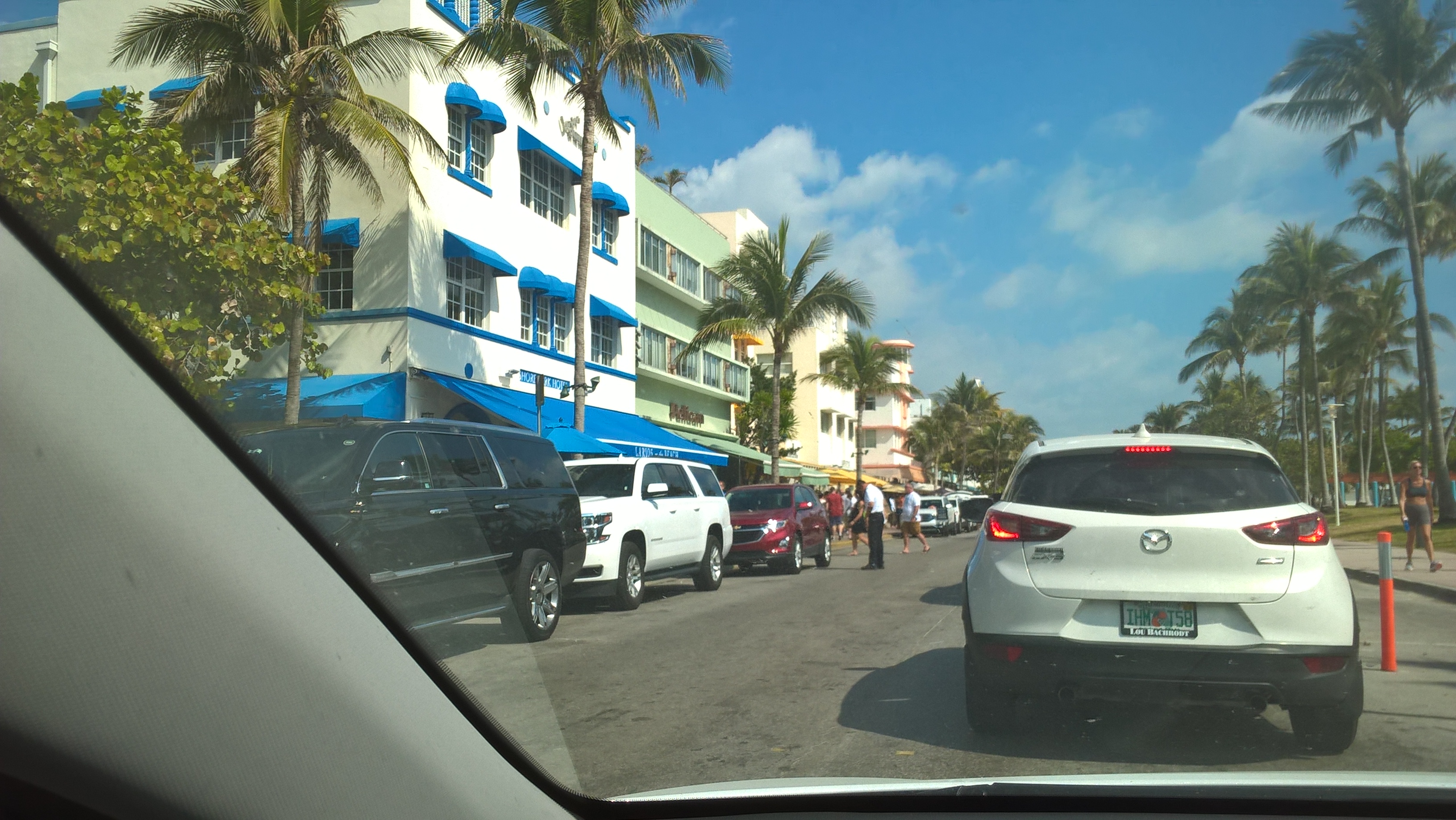
Ocean Drive
Parking in central Miami on a Sunday in peak season seemed to be from $20, so I went straight through to South Miami and quickly found Collins Avenue and Ocean Drive, the heart of the art deco district. When I first went there in the 1980s the movement to save these wonderful buildings from demolition was only just getting under way, and many were in a bad state. It was considered dangerous to walk off the main thoroughfares at night, or even during the day in some places. The restoration of the buildings combined with general smartening up and better street lighting has transformed the whole place. The area is thriving, with traffic on Ocean Drive proceeding at a snail’s pace, which suited me, as it afforded a better opportunity study the stunning architecture. Unfortunately my camera battery packed up and I am never very successful at getting pictures with my mobile phone.
Ocean Drive
It is also astonishing how the art deco buildings continue as you drive northwards on A1A, the coast road. Years ago I knew this stretch of road quite well, and the buildings must have been there all the time, but were so shabby that they were not really noticeable. Presumably heightened interest and increasing values have been a driving force for their renovation.
As mentioned earlier, this trip would have been better had it not been at the height of the tourist season, but at least the weather was perfect for walking about, mild with, unusually, no rain.

Mr.Trump?
Portugal 2017
CLICK ON PICTURES TO ENLARGE
Portugal 2017
 As I walked down the slippery steel steps from the easyJet plane at Porto Airport my first impression of Portugal was not great. A bit warmer than Gatwick, where there was a sprinkling of snow on the ground, but considerably wetter.
The plan was to spend two nights in Porto, with a full day exploring the city and pick up the car the following morning to see more of the country, taking in some good scenery, the coast, and as usual, a couple of car museums.
Porto
Porto, or Oporto, as it is called in English, is Portugal’s second city, situated on the Atlantic coast about 190 miles north of Lisbon and also on the mouth of the Douro river, which is the area of the port wine producers. The city is famed for its architecture and spectacular riverfront scenery but not for cheap hotels, so I had chosen one about 1½ miles from the city centre.
It was about 1.00pm by the time I left the airport, and the 10-mile Metro journey from the airport into the city was probably worst public transport experience I have had. The carriage was full when I got on, and over the next fourteen stops people forced their way in at every station and no one got off. The people I was crushed between were friendly and gave me advice about where to alight, which I was very relieved to do when the time came.
The scene when I emerged from the Metro was somewhat depressing, an inner-city landscape which seemed to be subjected to unrelenting drizzle rather than the warm sunshine I had envisioned when planning the trip. After a snack in a little café I trudged along to my hotel through streets almost devoid of people and traffic, even though it was mid Friday afternoon.
Once booked into the hotel I set off to walk through the rain to the centre. The streets were lined with a hotch-potch of terraced buildings of wildly varying character, size and condition, ranging from smart shops and car showrooms to derelict. Most of the streets were one-way, with a number of tunnels under junctions which were clearly a legacy of a massive road improvement programme in years gone by. Porto actually has quite an impressive road system for a city of its size.
It was downhill all the way, as the centre is at river level, and the street suddenly opened up into a small square with a restaurant facing on to it. By now I had walked over a mile and was wet enough, so decided to have a meal and slog back up the hill to the hotel.
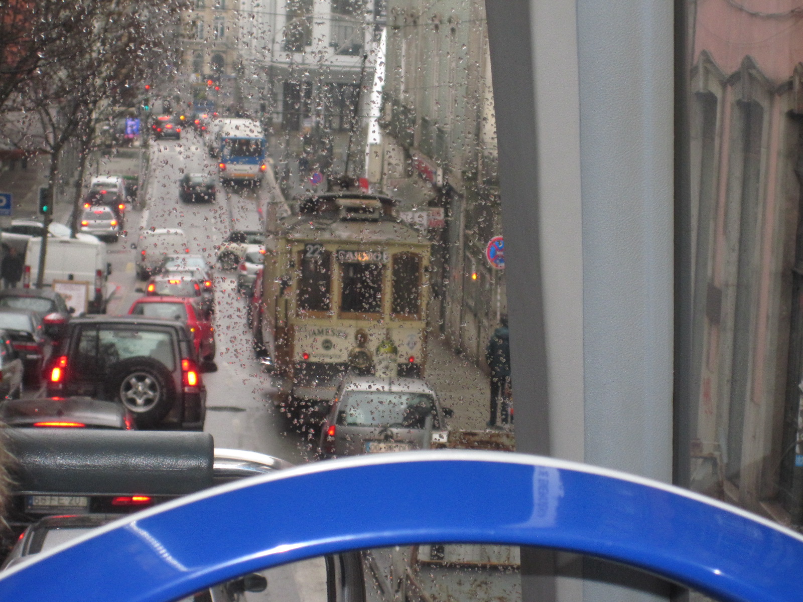
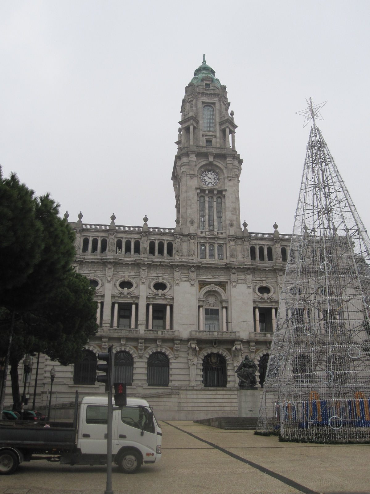
Camaro Municipal
The next morning it was more of the same but a bit worse, with somewhat heavier rain. This was my day for looking round the city, so I retraced my route of the previous day until it brought me to a wide open paved area with trees in front of an impressive building called the Camaro Municipal (Town Hall). At far end of the open space I could see a double decker bus which looked remarkably like the tour bus on a leaflet that the man in the hotel had given me, and at this point I decided to become an ordinary tourist and take the coward’s way out. The bus was to depart very shortly and the driver said the tour would take 1½ hours, by which time I hoped the rain would have stopped. According to the notice the commentary was available in 16 languages, and as I only spoke 2½ of them I thought about asking for a discount, but it would probably be a waste of time. There were only two people on the top deck, the front half of which was under cover, so I settled down in a seat with a good view and stuffed the phone buds into my ears. People under 20 seem to have these things permanently in place nowadays, but I could not make them stay in for more than about 30 seconds and it became a constant struggle.
 For the first half hour there was plenty of time to look at the sights because the bus crawled through the traffic at a snail’s pace until it headed along the Avenue Boavista to the coast at the western end of the city. It then turned south east to follow the long sea front road back towards the centre. Everything was going smoothly until the bus stopped and the driver told us we had to transfer to another identical one that was standing in front. By now it was raining hard and the new bus was already well-occupied with the covered top deck full and the windows of the lower deck steamed up. We proceeded past the waterfront area called Ribeira with its tall, brightly coloured buildings, shops and restaurants, although it was barely visible from the bus.

Ponte Dom Luis I
Then, looming up through the rain came the magnificent Ponte Dom Luis I iron bridge with its two decks, one just above the river and the other 60m higher, level with the streets further back in the town. The lower deck is for normal traffic and the upper restricted to trams and pedestrians, although it is a wide road. The bus turned on to the bridge and crossed the river to to Cais de Gaia, with its many wine lodges, before retracing its route for some distance and working its way back to the starting point in the city centre.
The rain had relented by now, so I walked down to Ribeira and the bridge. It is possible to
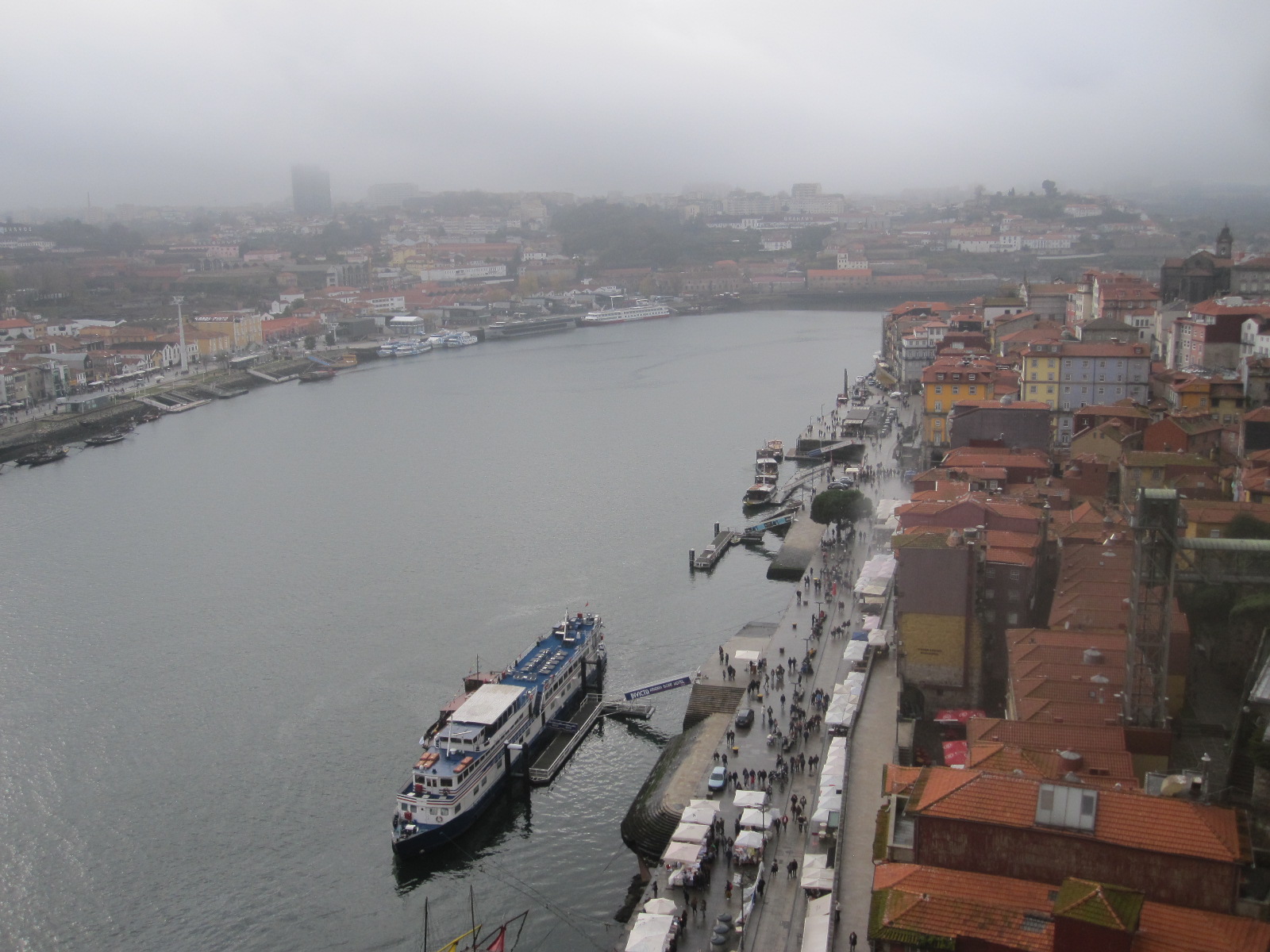
Ribeira
walk up to the road that crosses the bridge on the higher level, but I chose to use the nearby funicular railway which runs alongside a length of the old city wall and was an experience in itself. The view from the top level was described in the guide book as ‘nerve-jangling’, but whoever wrote that must have nerves that were easily jangled, because it didn’t bother me at all, and I am very sensitive to heights. The view was fantastic, in one direction looking over the Ribeira waterfront and the other way towards another two imposing bridges.
One of the riverside buildings in the view was the Transport and Communications Museum, which was my next stop, and something of a disappointment. The transport section
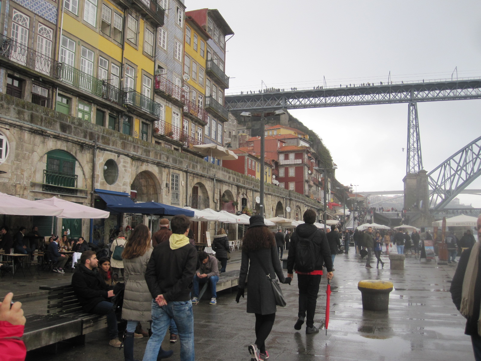
Ribeira
consisted entirely of a display of about 12 cars that had been the official vehicles of former Presidents of Portugal. It was reminder of how short a time it is since the country was a military dictatorship, and seemed to be intended partly as a political statement. It started in the 1960s with Rolls-Royce and Mercedes top-of-the-range limousines, and gradually worked down over the decades to fairly ordinary Mercedes, BMW and Audi saloons as the country became more democratic.
The communications section was very strange. The main display was called COMUNICAR, and described in English as ‘based on an anthropological concept of Communication….’ and ‘attempts to convey the polysemic wealth of Communication, in its various forms.’ I understood the display about as well as I understood the description, and came out confused and bemused.

Old town
A walk through the steep cobbled streets of the old city brought me back to earth and it cannot be denied that Porto has a lot going for it as a tourist destination. Unfortunately due to the inclement weather I did not see it at its best.
The hotel booking form stated ‘There is no meal option with this room’, so I was rather surprised to discover that a full buffet breakfast was available for €2.30 (about £2). With this inside me I set off the next morning (Sunday) to collect the car from the Sixt depot, which entailed a walk of over a mile through the empty streets with hardly another person
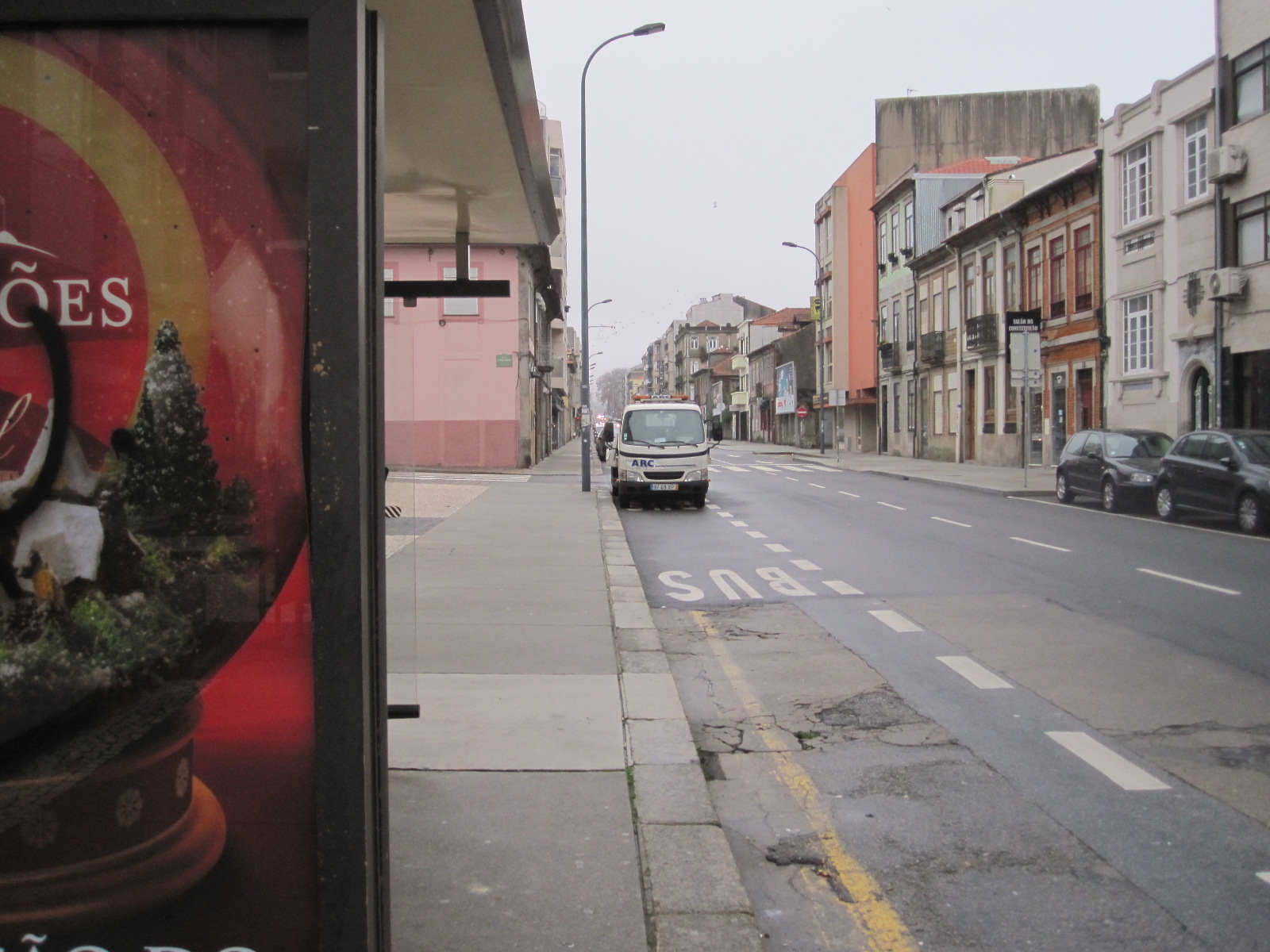
Empty street
in sight. Sixt is a company that I have used several times before and have always found to be satisfactory, so I was concerned when I found after booking the car on the internet that there were a number of bad reviews of their Porto operation. The depot was quite smart, with pleasant staff, and the white Audi 1 had just been washed. I inspected it very thoroughly and made sure that the few minor defects were properly noted.
The hills, Caramulo and a storm
Taking over a strange car in the middle of a foreign city can be daunting, but in this case there was almost no traffic, and I set off to find the motorway towards Caramulo, a small town in a fairly remote hilly area about 70 miles south-east of Porto. A couple of weeks before this trip I had bought a new TomTom satnav, despite which I had considerable difficulty in coping with the motorway network in the suburbs, but eventually found my way onto the A32 motorway to a place called Oliveira de Azemels.
The motorway ended near there and according to the map the cross country route from this point to Caramulo was very complicated, via a series of relatively minor roads for about 45 miles. The alternative was to use the satnav, which would have taken me a longer way on main roads and another motorway, probably less interesting and scenic.
Within a short time on the minor roads I found myself in about the most challenging stone-built village I have ever driven through, with improbably narrow roads and steep hills. Luckily there was no one coming the other way, and eventually I found a junction with road number 224 which was on the map.
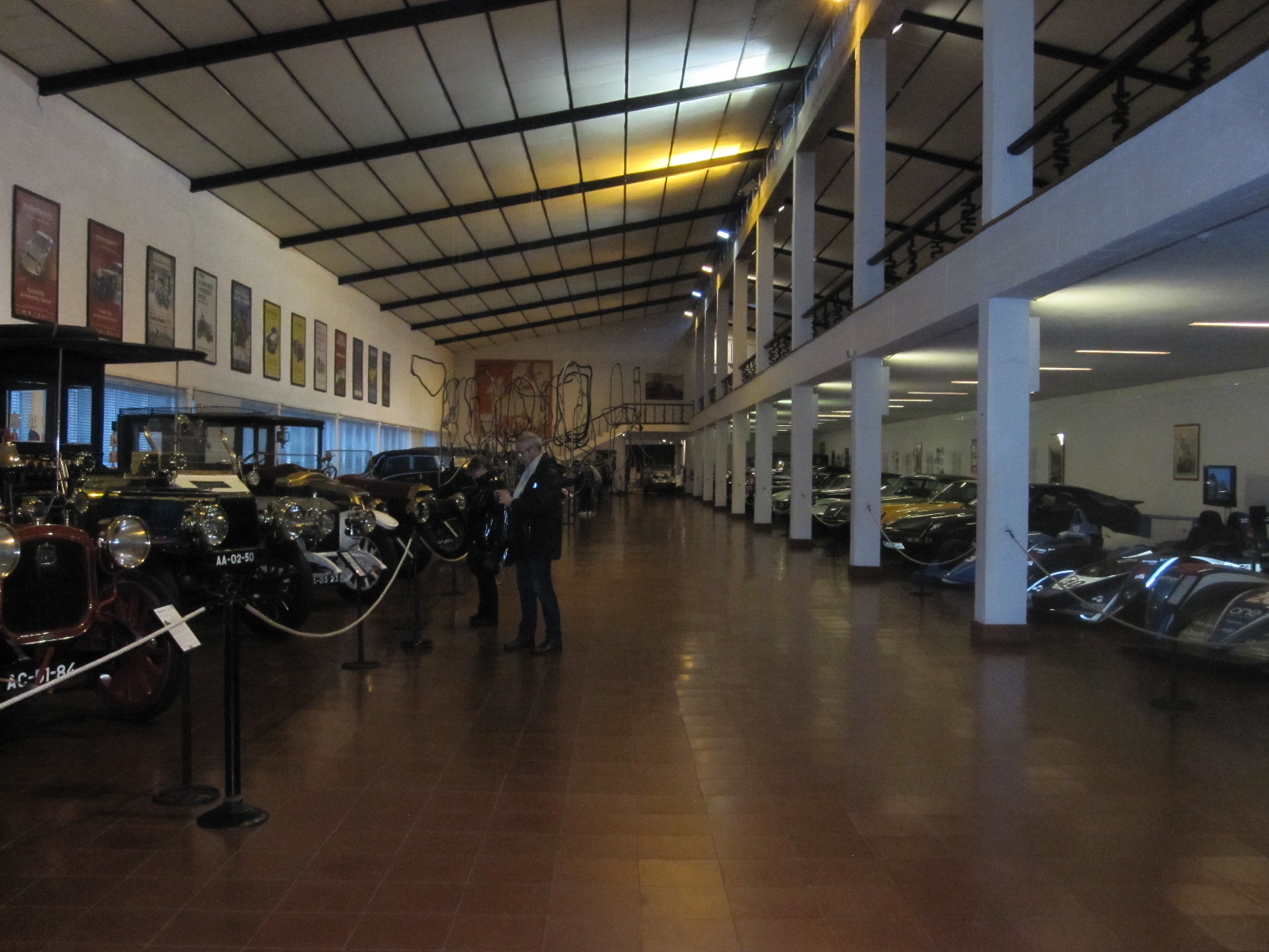
Caramulo museum
From here to Caramulo was as good a drive as I had hoped, although the rain set in and by the time I got there it was quite heavy. Caramulo is widely known in Portugal as a health resort and also for its museum, which is unusual in being partly dedicated to art and partly to old cars and motorcycles. The vehicle section was very good and well worth the effort to get there.
By the time I came out the weather was dreadful and it appeared that a storm was on its way. I had booked a country guest house in a village called Jueus buried in the hills about 5 miles away. The whole area was very much like central Wales with narrow roads, sharp bends and sheer drops. Jueus appeared to be a community of isolated stone-built farms set back from the road, with no legible signs of any sort, and not surprisingly considering the weather, there was no one to ask. I pulled into a farm yard with three parked cars and lights all around, and after hammering on doors and doing my best to make my presence known I failed to make contact with anyone.
By now it was starting to get dark, and it was dangerous to blunder about in those weather conditions so I went back to the museum and asked if there was a hotel in Caramulo. The people pointed across the road and said “There”. Facing the museum was a very large building with an empty car park, which turned out to be the Caramulo Congress Hotel and Spa.
As far as I could see there were no other guests, but the staff did not seem surprised to see me and gave me a room on the second floor, which was in total darkness when I came out of the lift. The power was restored quite quickly, but went off again just as I was going to go down to the restaurant. In my bag I had a small LED torch and found my way to the stairs down to the lobby, as I did not care to use the lift, even if it was still working. The staff were totally unfazed by this situation and somehow produced an excellent meal.
During the night the storm became very violent, with wind howling outside my room, which was on a corner of the
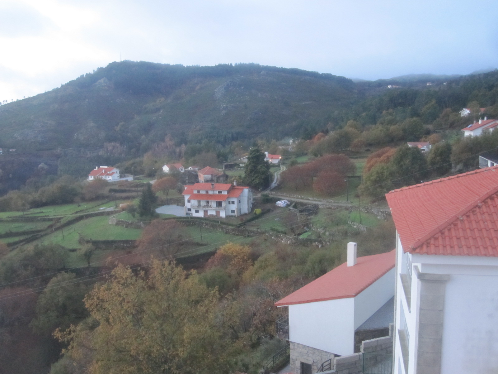
View from hotel
building. In the morning I went outside with some trepidation, expecting to find the car crushed under a tree, and was pleased to see that it was as I had left it. According to the hotel staff and TV news it was an exceptional storm, affecting the whole of southern Europe, and a lot of damage had been caused.
Ribeiräo and another museum
The plan for the day was to visit a museum at Ribeiräo, about 15 miles north of Porto and then stay at a hotel on the Atlantic coast. As soon as I got on to the road to the A25 motorway the effects of the storm were obvious, with branches all over the road and quantities of soil washed down from the adjacent land. It looked as if some fallen trees had already been moved, which was quick work by the authorities.
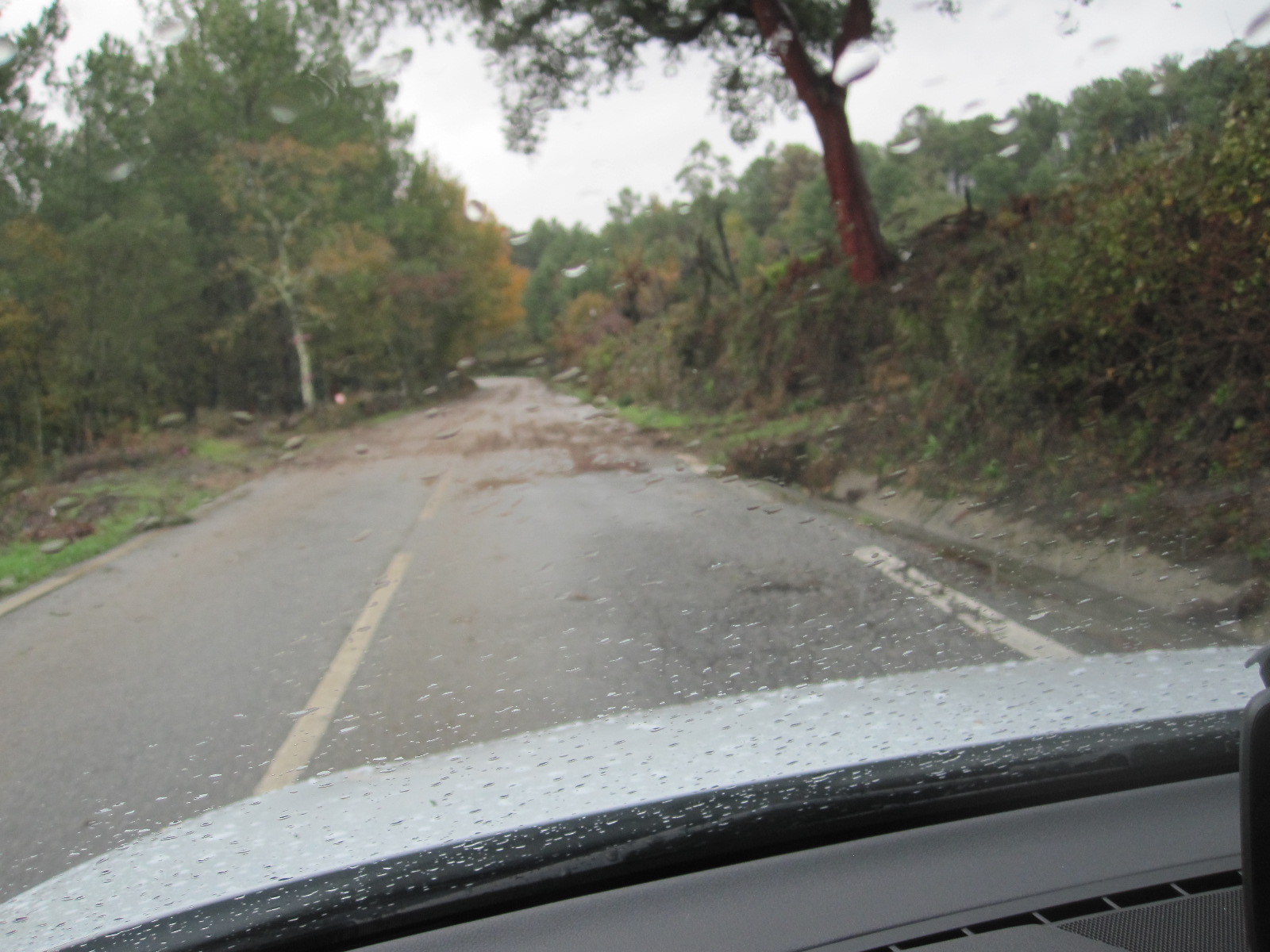
Mess on road
Because of this I decided to take the fastest route to Ribeiräo, mostly motorway with little traffic, and arrived just before midday. The area was industrial, and the museum was on a big trading estate associated with a place called Parc Lago Discount, and closed for two hours at lunchtime. The man in the gatehouse directed me to a restaurant which was like a huge greasy spoon café, full of men in working clothes. The menu consisted of soup, which appeared to be compulsory, and a choice of three main courses, all for €5. There was nothing in English, and the staff spoke very little English, but I got a passable meal. By the time I left there were about forty men in there and one woman.
Before going back to the museum I had time to look round a vast warehouse called Casa China, full of Chinese products of all sorts. Somehow the whole place reminded me of Belgium. The museum was extremely good, with the friendly staff that are usually to be found in such places. Entry was free and it was apparently run as an educational establishment. They seemed to be short of money but were planning to expand.
To the Atlantic coast
 I had booked a hotel in a small town called Póvoa de Varzim on the coast 12 miles from Porto Airport, and arrived in time to walk to the beach before dark. The first thing that struck me was the height of the waves, presumably a legacy of the storm, and this area is noted for good surfing conditions anyway. It was not the best time of day, time of year, or weather for seeing a seaside resort, but I got the impression that under the right circumstances Póvoa would be quite a pleasant place.

Póvoa beach
Considering the state of the roads the car was surprisingly clean, but in view of what I had read about Sixt Porto I spent a few minutes in the hotel car park wiping off the dried mud around the sills and wheel arches. When I took the car in the next morning I was amazed to see the Sixt staff checking the undersides of the returned vehicles with mirrors on sticks, just like the border guards in the old Iron Curtain days. After two or three tense minutes my car was deemed to be in order, but this was an example of how car hire firms are tightening their procedures and looking for every possible reason to impose extra charges.
My visit to Portugal had been constrained by limited time and unexpectedly bad weather, although considering that it was December I suppose I should not have been too surprised. Apart from in a few places such as the Metro from the airport and the centre of Porto it was also notable that there were few people around and mostly not much traffic, certainly compared to South-east England. Portugal has a reputation for bad drivers, supported by a high accident rate, but I did not think it was worse than most other European countries.
Albania, Macedonia, Greece 2017
CLICK ON PICTURES TO ENLARGE
Albania, Macedonia, Greece 2017
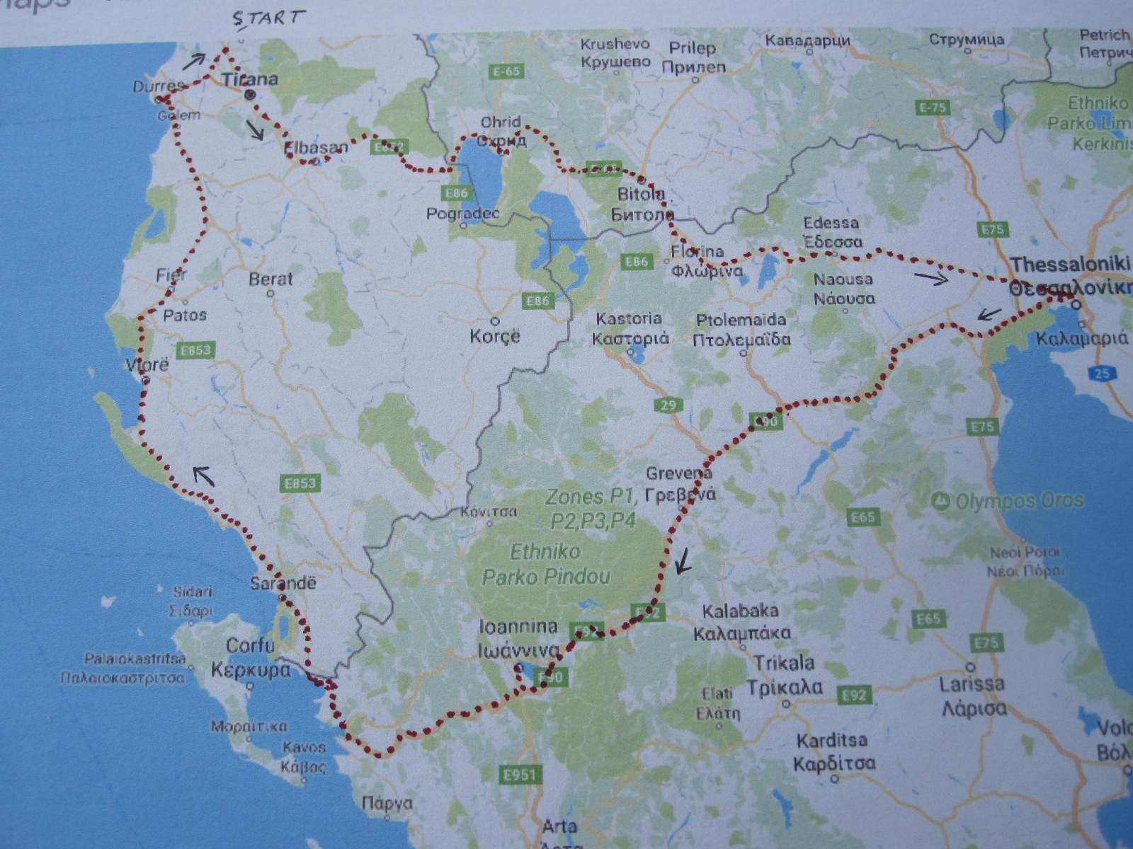 This would be my second visit to Albania, the first having been eight years earlier, when I went to the north of the country for a few days. An account of that trip can be found elsewhere on this site, and ideally should be read before reading this one. The plan now was to fly to Tirana, hire a car and drive to Thessaloniki in Greece via southern Macedonia, then across northern Greece to the Adriatic and up the west coast of Albania back to Tirana, basically a circular tour.
The only flights to Albania were, as before, by BA from Gatwick, but as I stood in the queue for the plane I realized that the make up of the passengers was quite different. Instead of being predominantly male there were now a fair number of women and children. On arrival in Tirana there was still the mystery over the division into ALBANIAN CITIZENS and OTHER NATIONALITIES, most of the latter not being British, so what were they?
Because of the late evening arrival I had booked a room at the Jurgen Hotel directly opposite to the terminal, thereby avoiding the taxi touts. This was a smart hotel for £35, although I had to go to the Best Western next door for a meal. Breakfast at the Jurgen was slightly odd, consisting among other things of scrambled egg and prunes, but it was quite adequate.
Several of the well-known rental car companies operate in Albania, but at the planning stage I had to dig deeply to find one that would enable me to take the car into Macedonia and Greece. Bearing in mind that Albania used to be regarded as second only to India for bad driving one would have thought that most firms would have been pleased for someone to take the car out of the country, but the only one that provided that facility was Sixt, who had a desk at the airport.
The man from Sixt turned up at the desk more or less at on time and took me to their depot round the corner, where I was introduced to my Hyundai Accent Diesel. Considering that it was Albania there was remarkably little body damage to note down, and I was soon on the way to Tirana.
Within a short time I noticed two differences from my trip eight years earlier, namely that the traffic was much calmer and that there was far less rubbish around everywhere. It seemed that there were now properly organized refuse collections, with bins at the roadside in many places. The predominance of old Mercedes cars was less striking, with more people driving typical modern small cars as elsewhere in Europe.
My route took me right through the middle of Tirana, past Mr.Hoxha’s famous pyramid, which contrary to my expectation did not appear to have been renovated and was in much the same dilapidated condition as when I last saw it. My initial target was a town called Elbasan some distance the other side of Tirana, and I was struggling fairly successfully through the awful city centre traffic until I came to a massive roadworks with no direction signs of any sort. With the help of the map in my tablet I eventually got on the road to Elbasan after driving through barriers on a stretch of closed road which was a building site, and it was very slow going for about 30 miles with endless roadworks and diversions. This area has typical Albanian semi-urban landscape, with an inexplicably large number of filling stations and part-finished buildings.
Macedonia
The 40 miles from Elbasan to the Macedonian border was much more pleasant driving with less traffic and good scenery. I had no idea what to expect at the border, but was pleased to find only very few vehicles going my way. The people at Sixt told me that I must buy a car insurance green card for Macedonia and Greece from a kiosk at the customs post, and that proved to be extremely easy for a fee of 40 euros. Neither Albania nor Macedonia use the euro but they seem to expect foreigners to do so. My passport and the car papers were checked at the customs on both sides of the border, with a few questions on the Albanian side, but I was through quite quickly.
Such was my poor planning for this trip that it was not until I was in the country that I discovered that the Macedonian language uses the Cyrillic character set, like Russia and Bulgaria. The language is closely related to Bulgarian and entirely different from Albanian and Greek, the other two countries on my itinerary. The Cyrillic languages are actually quite easy to cope with if you do a bit of brushing up in advance (which I hadn’t this time), whereas Albanian is impossible and Greek, well, it’s all Greek to me.
There are complications concerning the name of the country, because the Republic of Macedonia, as it calls itself, covers about one third of the geographical region known as Macedonia which extends into neighboring countries including a large part of northern Greece. As a result the Republic of Macedonia is known by the UN, EU, and NATO as FYROM (Former Yugoslavian Republic Of Macedonia), and that name appears on some road signs.
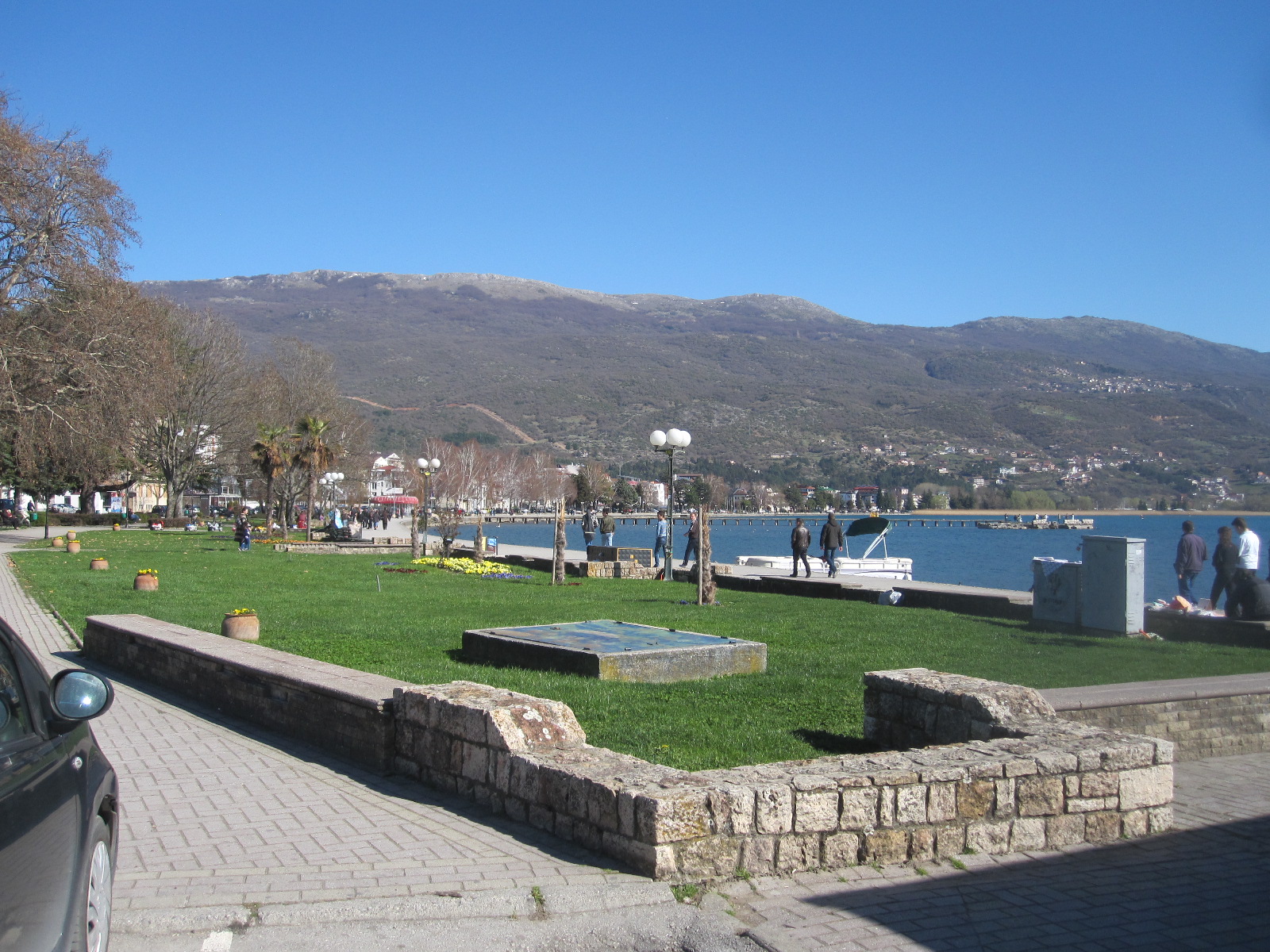
Ohrid
From the border the road follows round the shore of Lake Ohrid, passing through a small town called Struga, with its pleasant lakeside promenade. The next town, Ohrid, was described in my guide book as a jewel in the crown of Macedonia and had a spa-like atmosphere in its lakefront region.
My night stop was to be in Bitola, the second city of Macedonia (the capital is Skopje), about 40 miles from Ohrid. By now I had the impression that the pace of life in Macedonia was considerably slower than in Albania, with an economy based more upon agriculture. Once clear of Ohrid I seemed to be making good progress on a smooth road through heavily wooded countryside, until encountering a diversion where the road in the direction I was going was being rebuilt. As well as slowing me down this took me back in time to something I had not seen since Belgium in the 1960s, namely the type of road surface called pavé, small rough stone blocks which would set the car vibrating from end to end and shake the fillings out of your teeth. This went on for several miles in the form of a narrow hilly lane with one-way traffic through a forest before rejoining the original route.
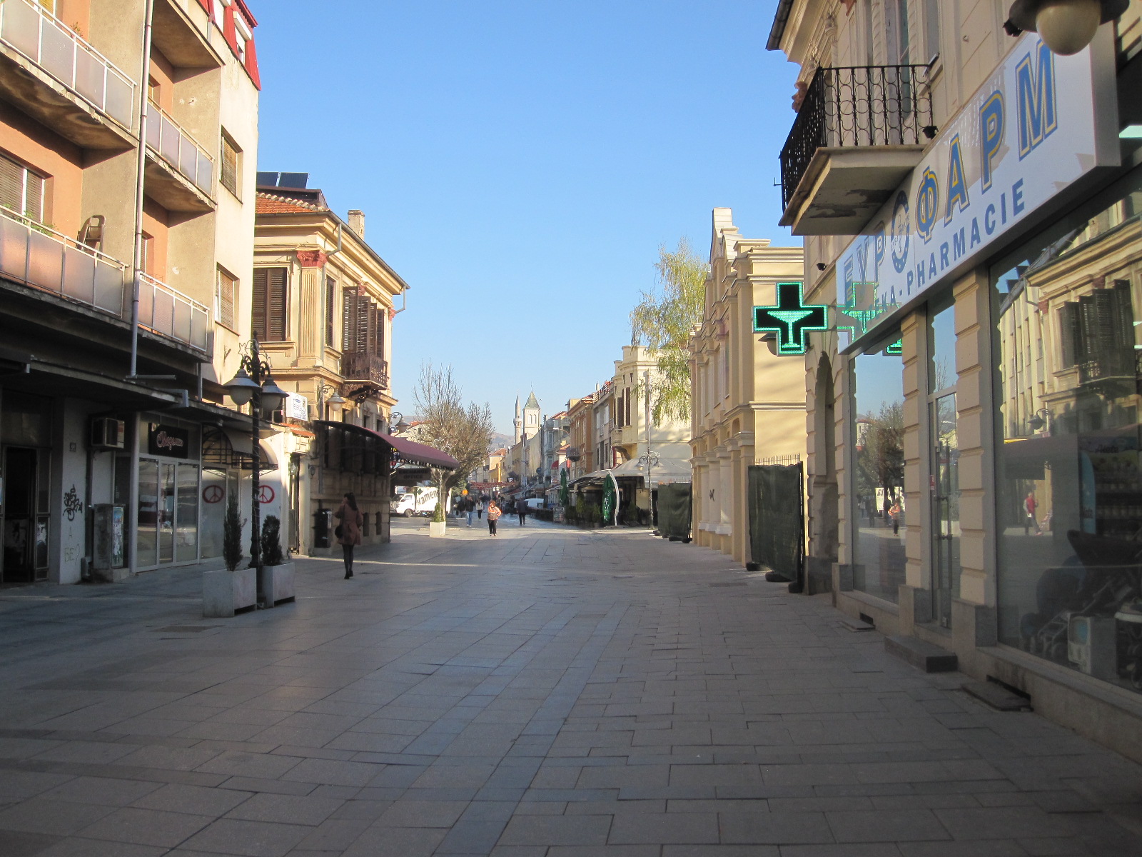
Bitola
Perhaps the best description of Bitola is simply ‘old-fashioned’. It is a very old city, dating from about 4BC and has a chequered history but most of the buildings today are from the Ottoman era or later. At one time it was known as the ‘City of Consuls’ because many countries, including Britain, had consulates there, but it now seems to be of less political significance.
The Hotel Bastion lived up to its name, being a substantial three-storey detached building with one rather serious man in charge and apparently no other guests apart from myself. He said they sometimes had English guests in the summer, although I would imagine that they
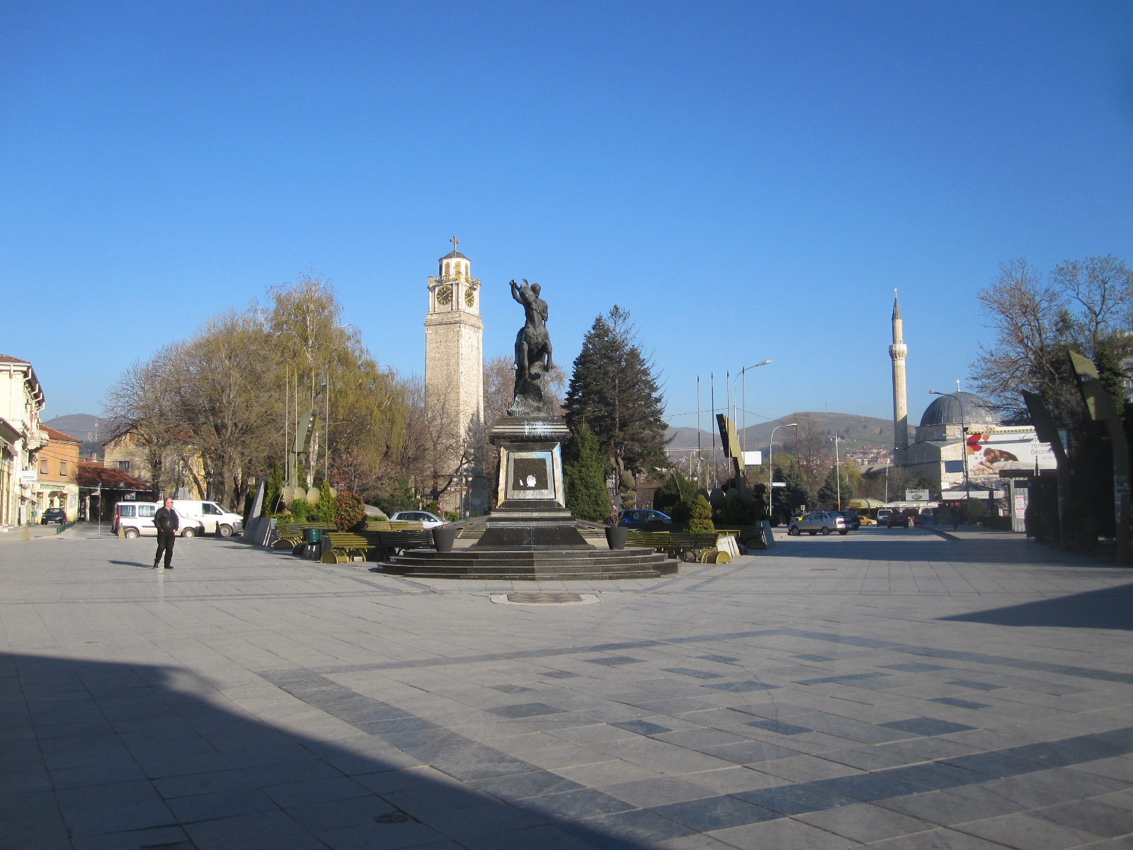
Bitola
were few and far between. The hotel did not do food, and the man recommended a restaurant in the main street which was only about 100 yards away. I had no Macedonian currency, but fortunately the restaurant took Euros. Looking round the town afterwards I got the impression that it was not one of the most prosperous places in Europe. At breakfast time I wandered back to the main street which was still largely asleep and eventually found a hotel that served non-residents.
Into Greece
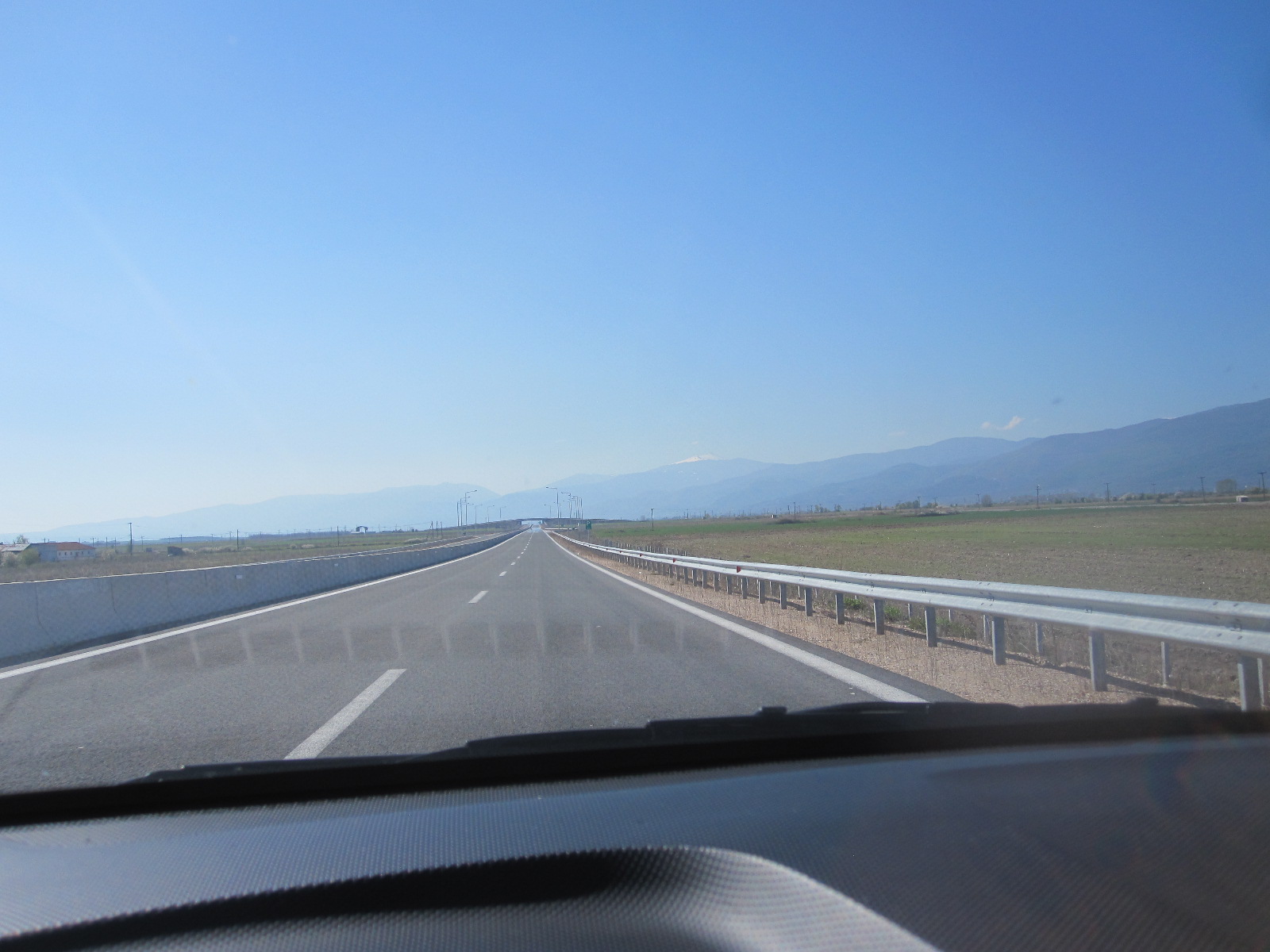
EU extravagance
The drive to the border crossing into Greece was quick and easy, again with just a few vehicles in front at the customs posts and brief document checks. At Niki, shortly after the frontier post the road turned into a superb newly-built motorway for about 12 miles, with not another vehicle going in my direction and few the other way. If more British people could see their money being spent in this way by the visionaries and dreamers of the EU they would have no reservations about our decision to leave. It will be very many years before there is sufficient traffic travelling from Greece through Macedonia and beyond to justify this expense, especially considering the economic state of Greece.
On the map the main road to Thessaloniki from near Florina via Edessa and Giannitsa looks interesting, with potential for good scenery, but in the event it was a disappointing drive. As mentioned above, the Greeks refer to this area as Macedonia (or Makedonia) and many place names are given in Cyrillic and Greek characters but not Latin (English) ones. On the approach to Giannitsa I saw the first signs of the Greek economic disaster. For some distance there were factories either closed or showing little sign of activity, with just a few cars outside and maybe one truck.
Thessaloniki
Dilapidated
Approaching Thessaloniki, Greece’s second largest city it was the same story. My hotel, the Rotunda, was near the centre, facing the main railway terminus and at the start of a massive construction project to build a metro. After checking in I walked around the streets behind the hotel and the consequences of the recession were all too clear, with boarded up shops and dilapidated empty buildings. Just to bring home the misery I was chased by an angry dog and bitten in the back of the leg. Fortunately my jeans prevented any serious injury.
To see the sights of Thessaloniki I had only the next morning, so I left the car in a very expensive city centre car park and went on foot from there. A young man involved with the car park spoke exceptionally good English and when I complimented him he said he had lived in Uxbridge for some
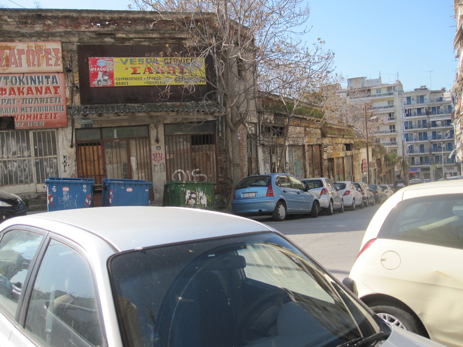
Derelict
time as a student at Brunel University. Brunel is a technical university and it seemed odd that he chose to return to the poor employment prospects in Thessaloniki unless, of course, he was the car park operator, in which case he was probably making more money than he could make as an engineer anywhere. Following his advice I quickly found the old town area with its ruins, which just went on and on as I climbed up the hill towards the back of the city.
 The route took me up a long fairly steep path alongside the ancient walls, and I had another encounter with an angry dog whose owner apparently lived in a sort of hole in the wall. He made no attempt to control the dog as it ran round me growling and snarling. If the intention was to deter strangers from going close to his property it was successful, and I sought a different way back. I did not manage to get to the top of the hill, but was high enough to see across the whole city to the harbour and sea beyond.
Straight down the hill brought me back to the ferry terminal and smart promenade which is bisected by a beautiful paved square with classical buildings. At the far end of the promenade is the White Tower, a famous monument and museum which I unfortunately did not have time to visit.
Back to the car and on the way to my night stop, a town called Ioannina, about 160 miles south east of Thessaloniki via a motorway passing through beautiful mountainous countryside. The extraordinary thing about this road was the number of tunnels. I lost count en route, but checked on the map afterwards, and there were 38, ranging in length from 50 yards to about 2 miles. It was a toll road with 4 or 5 payment stages along the way, the charges actually being remarkably low, a fraction of those in France.
Ioanninia
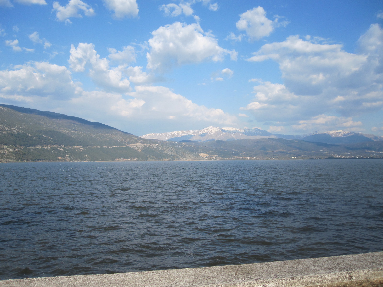 Ioanninia is a town of 80,000 inhabitants with a fair amount of industry and an area of historic buildings alongside a large lake. It had the atmosphere of a Swiss lake resort, even down to a Hotel du Lac which was well outside my price range. There were a fair number of hotels, none of which seemed to have any vacancies, rather to my surprise considering that it was a Thursday evening in April. Eventually I found a room in a small old-fashioned hotel more or less fronting on to the lake, and set off for a look round the town, starting with the old part. The first thing I noticed was that all the eating and drinking places were crowded with young people, and later discovered that the town is home to 20,000 students. It gave the impression of being a thriving place, very different from Thessaloniki, with shops open until late in the evening, including many with windows full of expensive watches like those to be found in Interlaken.
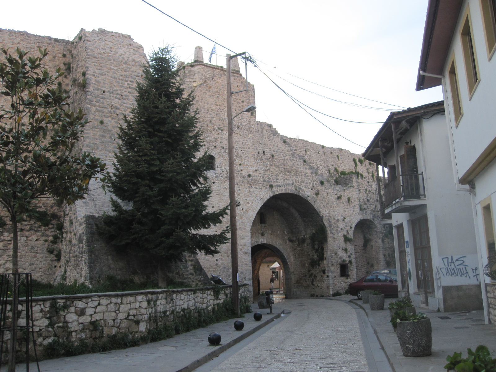
Old Ioanninia
Then came the big mistake. As I had eaten well earlier in the day I decided to have just a large ice cream in a restaurant specialising in such things, and before I got back to the hotel I realised that it was lying heavily upon my stomach. That was not to be for too long, because before going to bed it came up in five stages, with two more the following morning. I cannot remember what happened at breakfast time, but I don’t think it was very much. In fact, not much happened with regard to eating for the next three days.
The most direct route from Ioannina to Albania goes north west to Gjirokaster, some distance from the coast, but I wanted to follow the coast road from the border to Saranda, a resort facing the Greek island of Corfu. This meant rejoining the motorway for about 50 miles to the port of
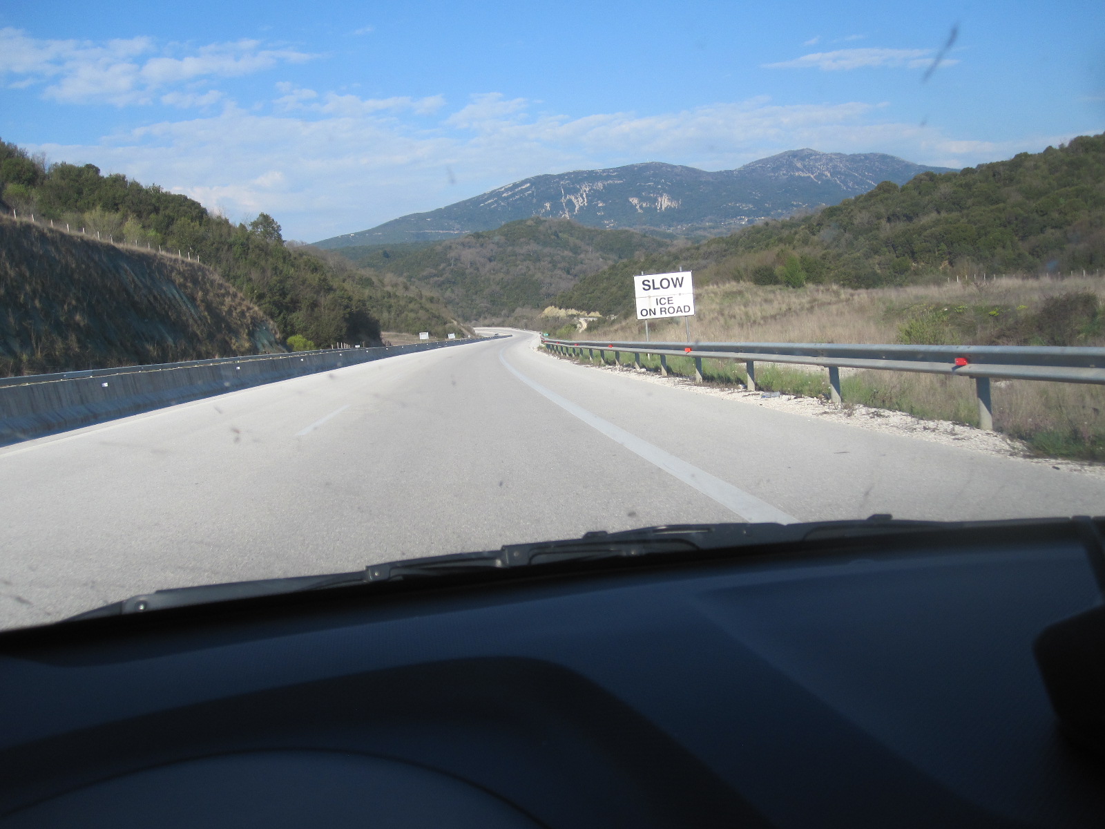
Motorway
Igoumenitsa and driving up to the border crossing at Konispol from there. The road network on the Greek side in this area is vague to say the least, and signposting almost completely absent. Albania did not seem to exist and the customs post was remotely situated on top of a mountain like something out of a film set. The man on the Albanian side studied my passport for about five minutes while I sat there with the engine running, presumably because he had nothing else to do.
Saranda, Albania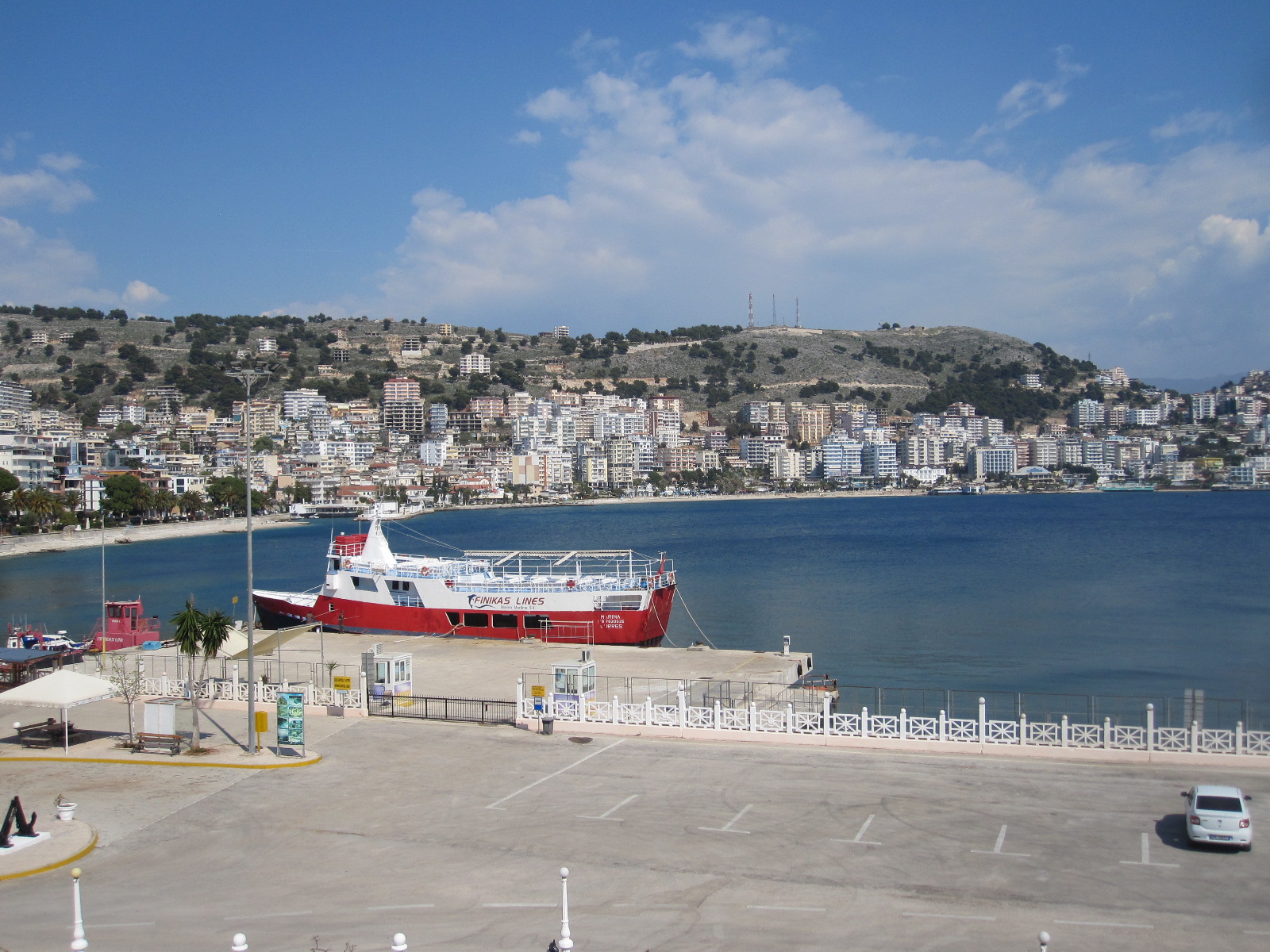
Saranda is a well-developed resort built around a bay, and undoubtedly gets a considerable boost to its tourist trade through day-trippers on the ferry from Corfu. My maps showed a concentration of hotels at the northern end of the coastal strip, and I found a balcony room overlooking the beach in one called the Apollon. It gave the impression of being recently built, and when I asked the young lady in reception how old it was she said it was started in 1999 and finished in 2007. This rate of construction seems to be par for the course in Albania, and judging by the number of part-finished buildings everywhere I think many take much longer than that to complete.
 Striking features of the hotel were a large mural in with a circular mosaic several yards in diameter in front of it in the entrance hall. The mural depicted a scene of debauchery and was presumably a copy of an established work of art, and the mosaic reminded me of the black magic circle in Dennis Wheatley’s “The Devil Rides Out”. At least the guests will have somewhere to stand if the Angel of Death turns up on his horse.
The general standard of public safety is still lower in Albania than most of western Europe. The outside concrete staircase leading down to the hotel car park had a top step which was twice as high as all the others, and as I walked into town I encountered large unprotected holes in the pavement. For a stretch of about 20 yards there was a sheer drop of 10ft down to some waste land on the side of the pavement away
Danger
Danger
from the road. At one point a thin concrete ledge stuck out over the pavement at eye level, and wherever you are you have to pay attention to your immediate surroundings. Not ideal for those who walk along staring at their mobile phones.
Apart from this Saranda is a pleasant resort town, with a promenade around the centre of a horseshoe-shaped bay.
Adriatic coast road
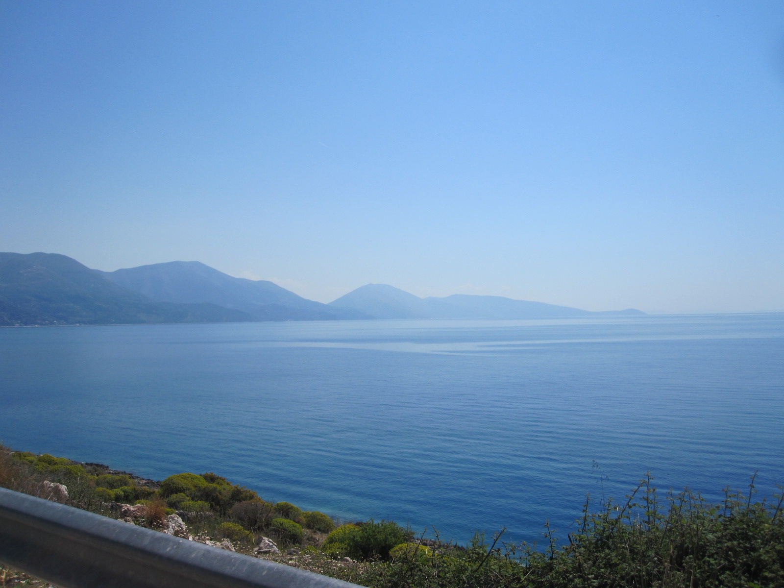 The plan for the next day was to drive 77 miles north to Vlora, the next main town on the coast. From the map I was expecting it to be a spectacular drive, and it was, by any standards. For much of the time the road ran close to the shore with endless bends and a zig-zag climb to over 3000ft, leading to a viewpoint. The main road was well-surfaced, but a couple of times I turned on to side roads that appeared to lead to places of interest and as usual in Albania they just turned into rough tracks or fizzled out altogether.
The traffic was light and on one occasion I came round a bend in a village to a find the roadblocked by a lorry with crane unloading building materials. There was no alternative route, so I and the few vehicles that came up behind me just had to wait about 20 minutes until the job was done.
Vlora
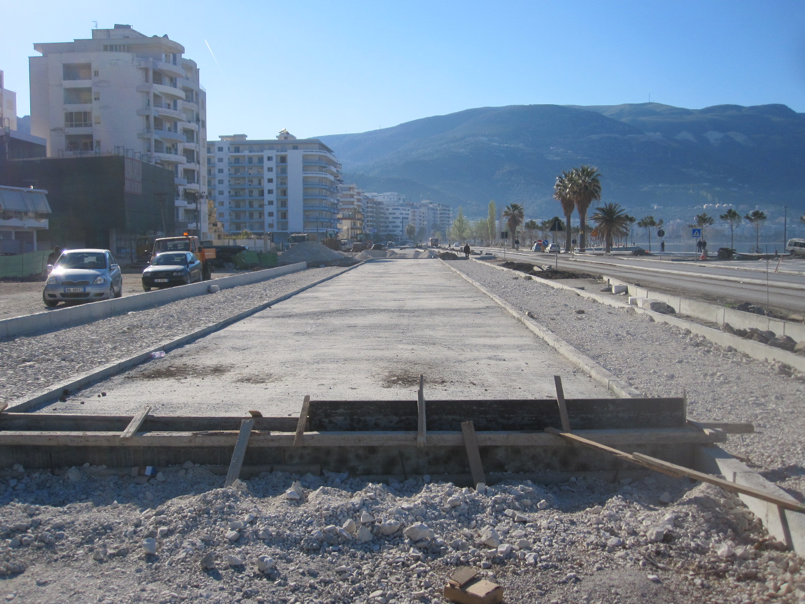
Vlora dug up
For about 12 miles before Vlora the road ran through a number of attractive little beach resorts with hotels and restaurants before turning into a dual carriageway under construction, leading to the town centre. It was very much a case of work in progress and will undoubtedly be an impressive promenade once it is finished, but it was a mess and impossible to stop and look for a hotel until I reached the end of it. The only hotel that was easily accessible was Hotel Partner, a large modern building in the town centre, so that is where I finished up.
The central area was modern, with many quite impressive buildings, but an incongruous
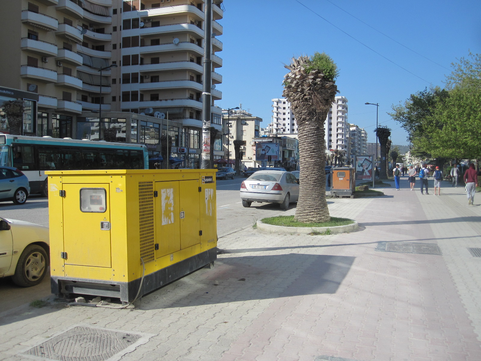
Generators
feature was the number of large diesel generators everywhere. I did not remember seeing any in Saranda, although Albania is notorious for its inadequate power supplies and it seems that the situation had not improved in some areas in the 8 years since my last visit. There was not more mains electricity, just more generators, which are very inefficient and bad for the environment.
Driving in Albania is always full of surprises, and in the course of driving around Vlora I came across a stretch of road about 400 yards long surfaced with a layer of wet tar that had just been applied by a machine that was disappearing into the distance. There were no signs or barriers of any sort, causing chaos for the drivers who suddenly encountered it. Many of the other side roads in

Impassable
the town were in a bad state, some completely impassable due to obstructions of one sort or another. Vlora is actually on the side of a large bay, with the beach front facing the heavily wooded hills of a nature park on a promentary, and one day, if and when the construction work is finished, it will be an attractive seaside resort.
Vlore to Durrës
During the 75-mile journey from Vlora to the next coastal town, Durrës, the whole character of the surroundings changed. The road was largely dual carriageway situated some distance from the coast, with roughly-surfaced stretches running through run down areas.. The standard of driving deteriorated, with cars swerving all over the road to avoid the pothole as in India, and the scenery became more industrial. Durrës is the seaside town for Tirana, the capital, and it was a return to the concentration of half-finished buildings and filling stations that dominated the start of my journey.

Durres beach
The main road into Durrës was in much the same state as the one into Vlora – just a massive construction site. It was Sunday afternoon and the place was heaving with people, including a couple of wedding parties driving through the town with much horn-blowing and general commotion as is customary in those parts. At the far end of the road I parked and went through to the beach, which was a wide stretch of heavy sand, quite clean but almost deserted.
There were a lot of hotels on the side of the road backing on to the beach but with the roadworks it was hard to get to any of them or park and after trying three or four which were full I decided to go back to the coastal strip at Shkallnur that I had passed on the way in.
After struggling through the narrow back streets of Shkallnur I found a hotel with the strange name of Ylli I Detit and
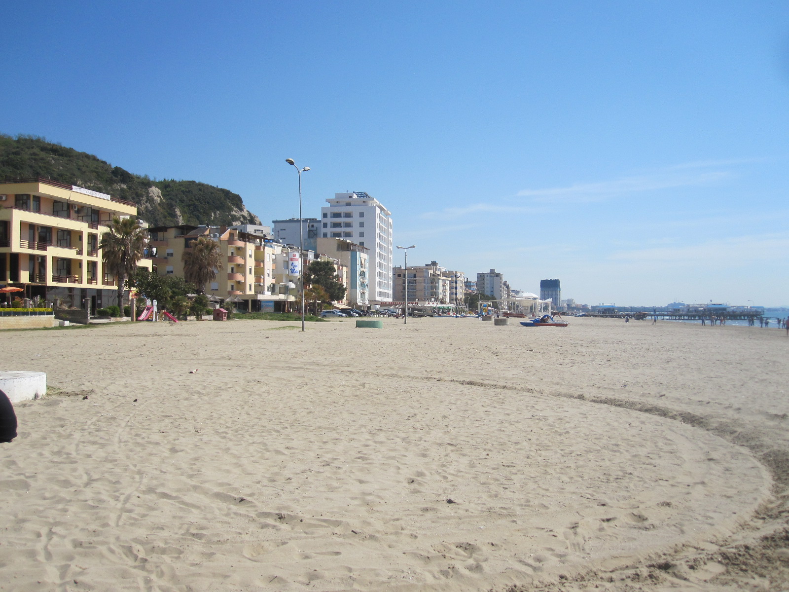
Shkallnur beach
acquired a room with a balcony overlooking the beach. The hotel did meals but I was still a bit under the weather from the ice cream poisoning and all I could manage was soup. It was time for a long walk on the beach, which like the one in Durrës, was quite pleasant and almost deserted.
When I came down for breakfast in the morning I was somewhat surprised to find that there appeared to be no one else in the building. It was the hotel equivalent of the Marie Celeste – everything in place but just no people. Eventually I found a very young lady in staff uniform who spoke no English whatsoever. It was clear that breakfast was not likely to be forthcoming, so as I had already paid for the room I walked past the unmanned reception and departed.
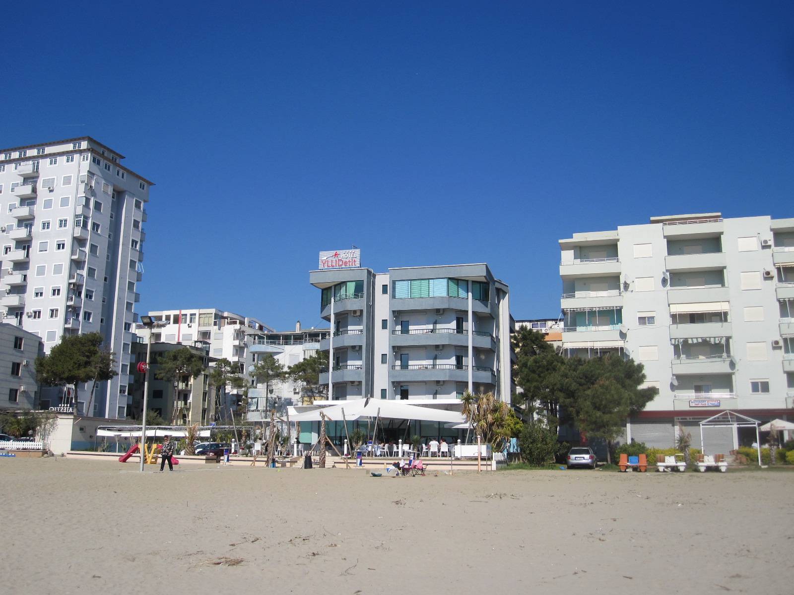
Ylli I Detit Hotel
A short distance along the main road to Durrës was a petrol station with an excellent café, after which I went through into Durrës centre, which was much larger than I expected and unlike a lot of places had properly surfaced streets. Some accounts describe Durrës as a dismal place, but it seemed to me to be bustling with activity, much more than I would have expected for a Monday morning. The afternoon was spent taking the car back (undamaged, amazingly) and dealing with the flight home.
Albania is a conundrum. It is supposed to be a poor country and yet everywhere you go there seems to be a lot of activity, with quite large public projects underway, especially in the cities. There is said to be corruption at high level and a general belief outside the country that there are many people engaged in criminal activity such as people-trafficking and money laundering, but Albanians will tell you that the bad people have left the country and are carrying on their evil deeds elsewhere. This may well be true.
California, Nevada, Arizona 2016-17
CLICK ON PICTURES TO ENLARGE
California, Nevada, Arizona 2016-17
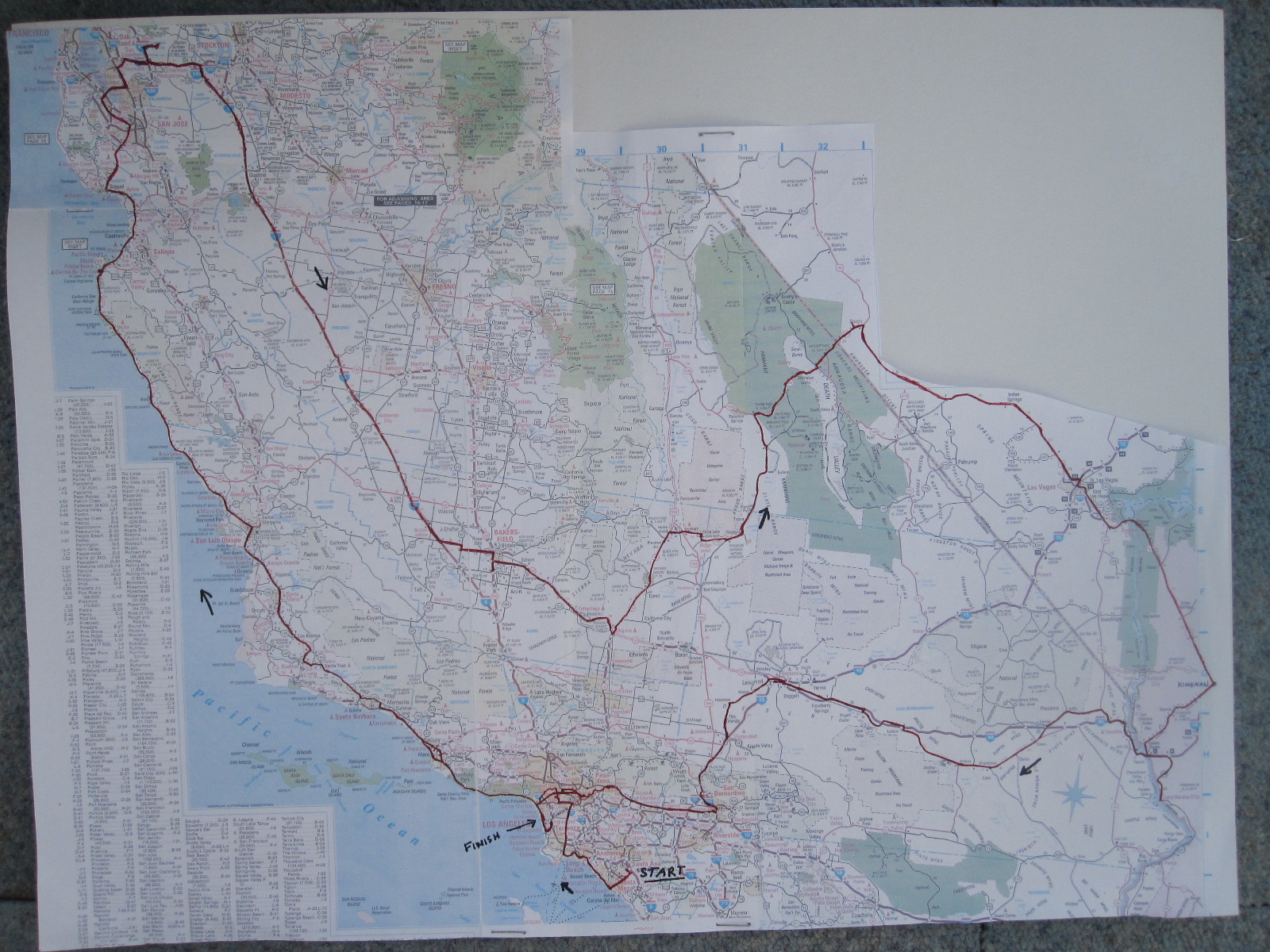 This would be my fifth visit to California, the first having been in 1983 when I went to see my cousin, sadly now deceased. For reasons to do with work this time I would be in the USA from Boxing Day into early January, which meant that the weather was likely to be better than at home, but the daylight hours would still be short.
By the time I had got through immigration at Los Angeles Santa Ana airport, collected my case and picked up the Chevrolet Malibu rental car it was about 10.30pm. Emerging from an American big city airport at night can sometimes be a daunting experience, because they are often not in the best part of town. To avoid driving too far after the long flight I had booked a hotel close to the airport, and was pleased to find that it was in a smart business area surrounded by law firms, accountants and big company offices.
To West Hollywood via the beaches
Santa Ana is about five miles from some of California’s best beaches, and that is where I headed the next morning after breakfast at the nearby International House of Pancakes. This meal seemed to be considerably more expensive in dollar terms than few years ago, compounded of course by the fall in value of the pound. The road brought me through to the coast, and the Pacific Coast Highway, at Costa Mesa. From there I worked my way along, stopping to look at the resorts and surfing beaches, although the sea was too calm for any surfing to be going on. The weather was actually beautiful, cool early in the day and then becoming quite warm.
Huntington Beach
Huntington Beach, also popular with surfers, was almost deserted and absolutely covered with tyre marks, apparently from vehicles to do with beach maintenance, although why that should be I don’t know unless the lifeguards were just enjoying themselves. American beaches are mostly unlike those in Britain and Europe, with less intensive development and quite basic wooden fishing piers.
Seal Beach came next, and then Long Beach, which has for many years been the home of the old Queen Mary cruise liner. Now a hotel and conference centre, the ship can be clearly seen moored the other side of the harbour and is instantly recognizable by its traditional shape with three funnels.
Old Queen Mary
Long Beach is the second largest container port in the USA, and shortly after crossing the Los Angeles River the road joins the hectic freeway and rises up on to an immensely high bridge which affords stunning views of the harbour and container port, the likes of which I have only seen before in Japan. The freeway turned northwards towards central LA, and provided the first taste of the traffic congestion for which the city is famous by coming almost to a standstill for some time.
From the freeway downtown LA looks a bit like a larger version of Croydon, with a bunch of high buildings sticking up above the surrounding area, but I turned off to the west before getting there and cut across to my night stop, a motel in West Hollywood. For my evening meal I went to the food court of the rather depressing Westfield shopping mall on the edge of Beverly Hills.
Sunset Boulevard, Malibu, big traffic and old Denmark
Still jet-lagged, I set off early the next morning through a not yet very awake Beverly Hills main street leading up to West Sunrise Boulevard with a glimpse of the HOLLYWOOD sign between the buildings. Despite the associated wealth and glamour, most of the streets in the Hollywood area range from uninspiring to downright seedy, parts of Wilshire Boulevard being an exception with some striking architecture.
Sunset Boulevard wends its way for many miles on twisty tree-lined roads through Beverly Hills and beyond, eventually coming to the Pacific Coast Highway near Santa Monica. Somehow I got diverted into Santa Monica and came across a free-standing boutique coffee shop where I stopped for breakfast. The clientele were rather odd to say the least. A long-haired man of about 70 with a straggly grey beard, heavy leather jacket over a fleece with the hood up, and shorts, deeply engrossed in a laptop. In the street outside, without the laptop, he would have been mistaken for a vagrant. He suddenly stuffed phones into his ears and started talking as he tapped away at the keyboard. Probably one of California’s leading website designers. A few tables away a younger man, similarly attired with hood and shorts, similarly immersed in his computer. A man in his 60s, with a wide purple band round his head and an obvious glass eye, sorting through a pile of papers. Two Indian (Asian, not native American) ladies.
Malibu beach
Back on the Pacific Coast Highway to Malibu in the Malibu. Considering its fame, Malibu is a surprisingly unimposing place, with the usual basic fishing pier and much smaller beach than you might expect. The land rises up steeply from the road leaving little room for development close to the beach. The weather was beautiful and I went for a walk on the beach and pier. but there was not a lot more to do in Malibu, so I pressed on along the PCH.
It continued through the town of Oxnard until it joined the busy freeway 101 at Ventura. My plan was to stop at Santa Barbara, which I knew to be a really nice seaside town, and then cut across country to an amazing place called Solvang. However, the traffic ground to a halt just before Santa Barbara and with the aid of the map in my tablet I found a short cut to the road to Solvang. I was not particularly surprised by this situation, because I knew from past experience that it can be very difficult to get around in popular parts of Southern California at holiday times.
The road to Solvang goes up into the hills and everything went well for some time before the traffic came to a halt
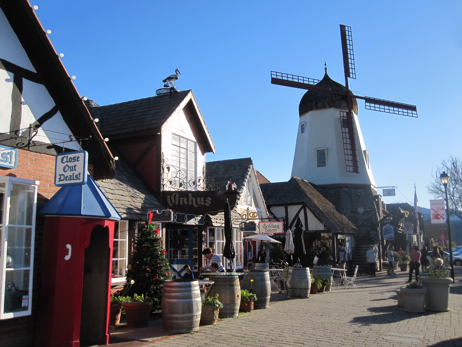
Solvang
again at the end of a vast queue caused by road work with alternate one way flow. Under these circumstances in most countries the traffic moves in blocks of 20 or 30 vehicles every few minutes but in the USA it is different. There you are at a standstill for 15 or 20 minutes and then 200 vehicles go in one block. It probably works out the same in the end, but I find it very frustrating and I arrived at Solvang much later than I expected.
Solvang was founded in 1911 by a group of Danish immigrants who wanted to create a settlement for themselves in the style of their homeland with underlying Lutheran principles. In the 1940s the ‘Danishness’ became more exaggerated with the building of windmills and embellishment of other buildings in the national style, until the place became like a full-sized model village for the amusement of tourists. The shops and cafés sell Danish pastries and other Scandinavian treats and at the time of my visit the central area was occupied by a crowded street market. The town, which has a population of about 5000, seemed even more Danish than on my last visit 10 years previously, although as the founders chose to build their town on terrain that is bordering on mountainous it was a far cry from their homeland. It was dark when I eventually reached Motel 6 North in San Luis Obispo, a pleasant small town with a certain European character but not as outrageous as Solvang.
Scenery, more scenery, niceness and Silicon Valley
Big Sur
The next part of my journey was the most glamorous and famous section of Highway 1, along the stretch of coast known as Big Sur. Despite its reputation for being one of The Best Drives in the World I have been disappointed when I have driven it previously, perhaps because the weather was not very good. This time it was different. From the winding cliff top road with the mist rising from the sea in the bright morning sunshine the view was just superb. I am used to driving to work against the winter sun in the south of England, but the sunshine in California is altogether more intense. I stopped for a time on a layby which was marked as being a viewpoint for seals and to my surprise they were actually there, frolicking about (do seals frolic?) as the waves broke on the rocks. The journalists who extol the
Big Sur
wonders of this road are always driving open Ferraris or Cobras, but even in my mundane Malibu sedan it was really enjoyable as there was little traffic so early in the day.
Big Sur is actually a stretch of rugged coastline between San Simeon and Carmel-by-the-Sea, running high along the clifftop with big outcrops of rock offshore, some with buildings on them.
Until I discovered Fernandina Beach in Florida I used to say that Carmel was the World Centre of Niceness. Founded in the early 20th century and occupied from the start largely by people concerned with the arts the town was described as a “village in a forest overlooking a white sand beach” and it has retained this character to the present day. New buildings have to be built around existing trees and new trees have to be planted to maintain a certain density.
Carmel
I spoke to man sitting in a beautiful VW Beetle convertible who told me his mother came from Surrey, and he said he thought Carmel was probably rather like Surrey. It is actually more twee than anywhere I know in Surrey, and I think the closest I could come would be Chislehurst in Kent.
From Carmel it was back on to Highway 1 through Monterey, following the shore on Cabrillo Highway round to Santa Cruz where I turned inland over the hills to San Jose. From there I took the Central Expressway through to Palo Alto and the heart of Silicon Valley, with a couple of diversions to look at the home of the world’s most advanced technology. Basically this is just a vast estate of high tech companies, many with little known fancy names. Some have park-like surroundings with lakes and landscaped grounds, but a lot are just squat single-storey buildings with few or no windows.
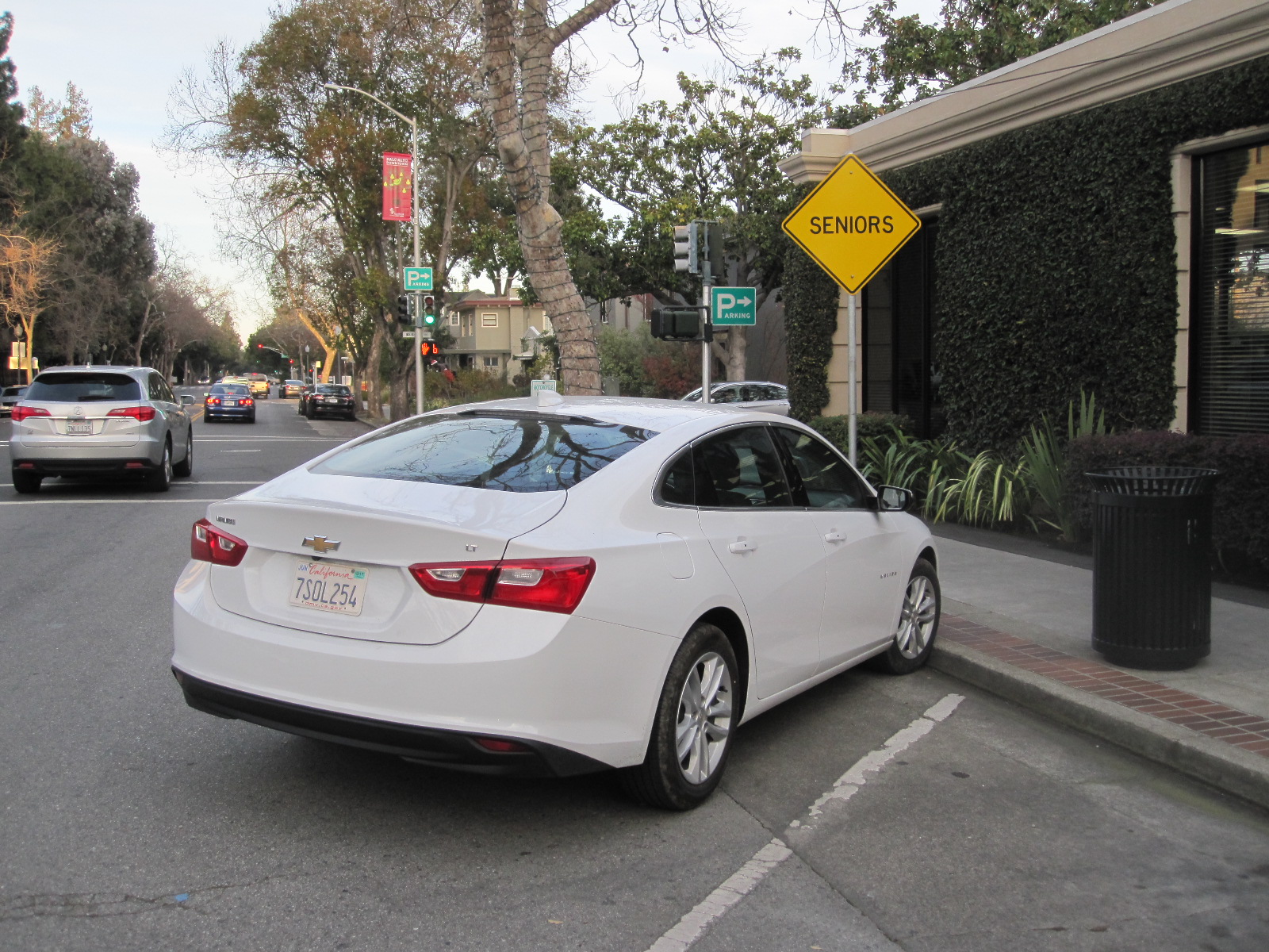
My car in Palo Alto
The adjoining towns such as Mountain View and Palo Alto are fairly characterless, but the area has the highest per capita income in the USA at around $144,000 (£115,000) per annum. The rapidly-growing population and shortage of houses has resulted in a situation like that in the south-east of England, with property prices way above normal for the States. In Palo Alto I took advantage of the availability of a SENIOR parking space to stop for a photograph of the main street. This space was at the end of a row so that it was possible to open the door wide and there was less chance of crashing into another car. At about 250 miles, some of it slow going, it had been a long day’s drive by the time I reached my hotel in San Ramon .
Disappointing museum and 250 mile rat race
Blackhawk Mall
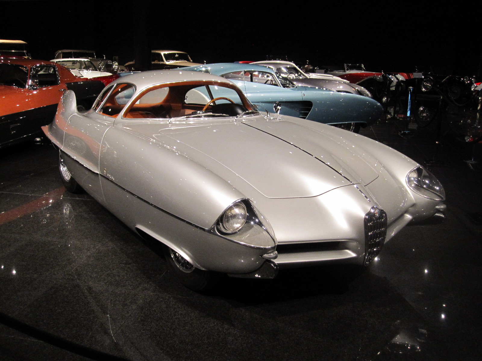
Exotic and unique
The reason for staying in San Ramon was that it is near Blackhawk, the site of what used to be one of the best car museums in the world. First stop the next morning was the museum, at the centre of a very upmarket shopping mall and it turned out to be rather disappointing, because the display was only about one third of the size at my previous visit. They still had many unique and interesting vehicles but it was just not as memorable as before.
It was still the aftermath of the Christmas holiday, and the rest of the day was spent in a frantic 250-mile nose-to-tail dash down the freeway to Bakersfield. At one point it was the nearest to a motorway pile-up I have ever been in, with everybody screeching to a halt at angles all over the road and it was miraculous that there was not a serious hold-up anywhere. By the time I got to Bakersfield it was dark, pouring with rain, impossible to see any road markings and even more miraculous that I eventually found the Vagabond Inn motel.
Desert, more desert, Death Valley, a ghost town, aliens and atomic bombs
The next day was an unbelievable contrast. I set off with another 250-mile stretch in front of me, crossing the desert including Death Valley, to a small town called Beatty in Nevada. From the start there was little traffic, and once I got clear of Bakersfield there was practically nothing at all for a long time. Vast areas of the desert are given over to military bases, and at Mojave I diverted for a few miles to look at the Air and Space Port with one of the famous aircraft ‘boneyards’, where civil and military planes are dismantled for spares or mothballed for possible future use. They were clearly visible but despite strenuous attempts I could not get close enough for a decent photograph and the Air and Space Port is not nearly as exciting as it sounds.

Remote
Shortly before China Lake the road ran through Inyokern, a small place with a large sign pronouncing INYOKERN – A HUNDRED MILES FROM EVERYWHERE. Not strictly true, but if you were a teenage resident it would probably feel like it. The entrance to the China Lake Naval Air Weapons Station is hardly discrete, with a jet fighter in front of it and security is obviously tight, all the important stuff (if there is any) being kept out of sight from the road. China Lake is dry, and undoubtedly has been for a very long time.
Before driving through the desert proper the advice is always to take plenty of water and food, which I stopped for in Ridgecrest some distance before Death Valley. It was New Year’s Eve, and I must admit that I was slightly concerned that the roads might be totally empty and the rangers would not operating, which could be a problem in the event of a breakdown, as there is no mobile phone signal most of the time. In fact, winter is actually peak season for the desert, and by mid-day there was more tourist traffic than I expected.
Desert Road
Other than in a few small pockets the deserts of the south-west USA are nothing like the popular image of the Sahara, with its massive rolling sand dunes. The roads are mainly single-carriageway strips of tarmac, sometimes dead straight as far as the eye can see into the distance. There is always a mountain backdrop and occasionally the road will climb to cross the mountains through a pass.
Between the road and the mountains the terrain is sparsely covered by scrub, small bushes or cacti, and in the winter can be quite colourful. The mountains themselves are not exceptionally high but varied in shape and the lower slopes are characterized by alluvial fans, large deposits of soil and rock in the form of an inverted fan.
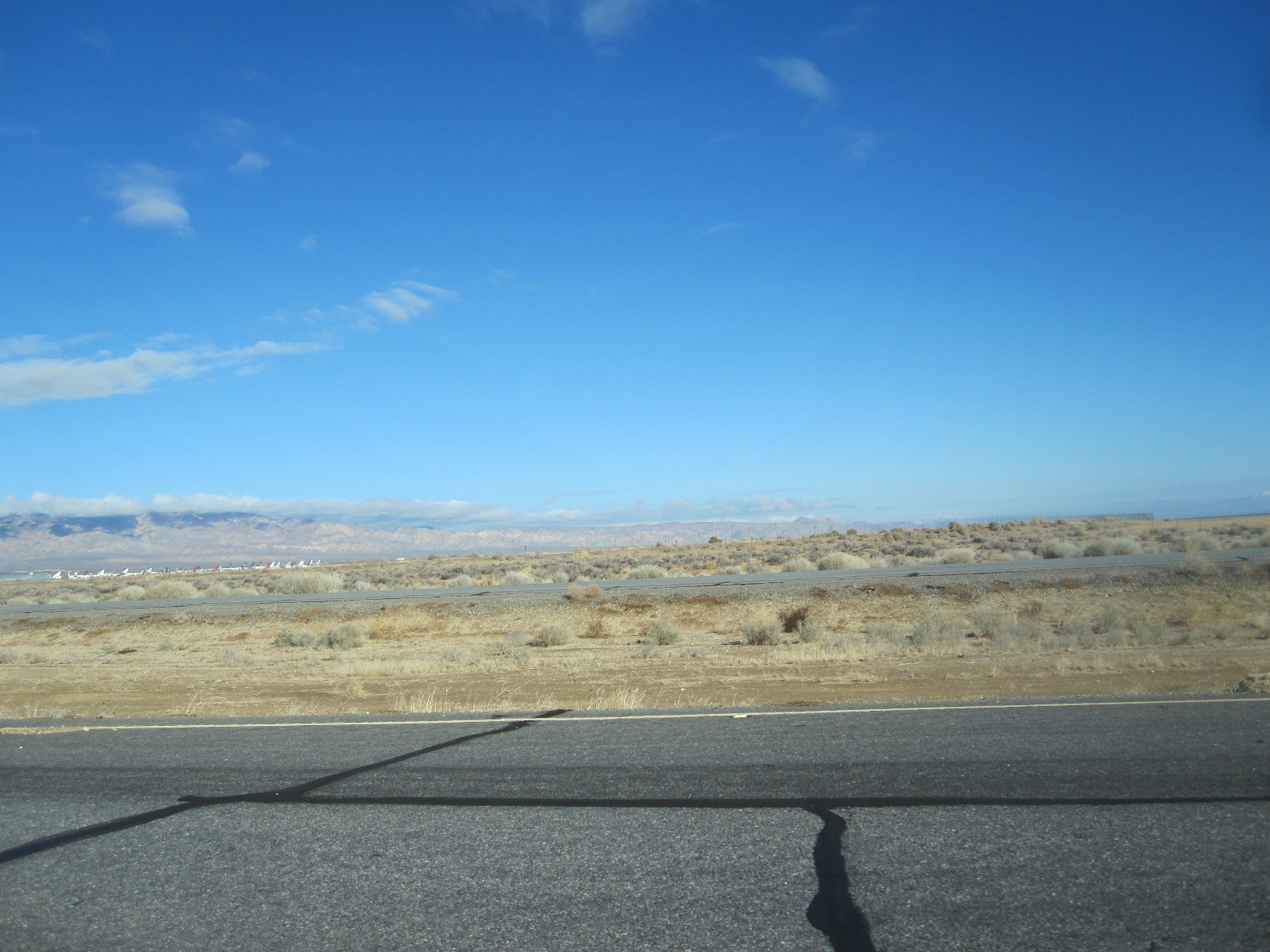 Vehicles can easily blend into the background on these straight roads, and it is normal to drive with headlights on in broad daylight. Driving on open land is not allowed, but there are many rough-surfaced highways than can be legally used by 4x4s and motorcycles, some leading to remote areas and ghost towns.
About 60 miles after Ridgecrest the road passes through Panamint Valley to Panamint Springs, and I stopped for a while at the roadside where I once spent several hours locked out of the car in blazing sunshine, as described elsewhere under “Locked Out in the Desert”. From here the road climbs over Panamint Range and enters Death Valley Nation Park before dropping down to the visitors centre at Stovepipe Wells, which as the name suggests, is subject to extremely high temperatures in the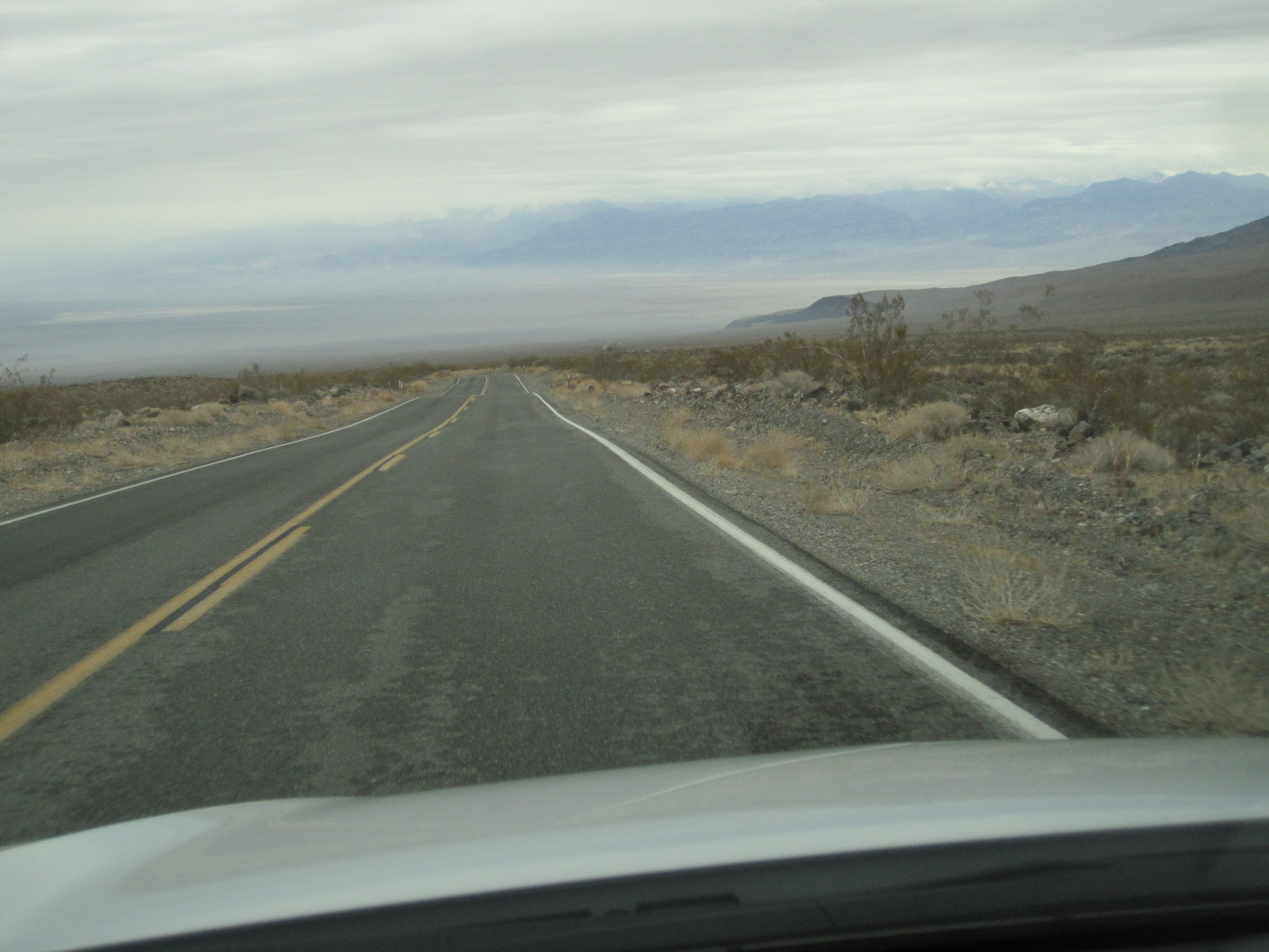 summer. When Turtle Wax car polish appeared in Britain in the 1960s I remember that it claimed to have been tested at 140 degrees “in fiery Death Valley”, but I certainly never imagined that I would ever go there. In actual fact the highest air temperature recorded in Death Valley is 134 degrees Fahrenheit, and that is sometimes claimed to be the highest on earth. At the time of my present mid-winter visit it was only about 60 degrees at mid-day and would fall to just below freezing at night.
Stovepipe Wells is an unprepossessing place, with a cluster of functional buildings including a rangers’ office where there was a requirement to pay the National Park Entry Fee of $25 (about £20). As it
Stovepipe Wells
happened I had the receipt for the charge of $10 on my 1999 visit still stapled to my map, an example of the level of inflation that has applied to many things in the intervening period. Bearing in mind that I was actually only driving about 40 miles in the National Park this made it an expensive visit.
Shortly after Stovepipe Wells the road to Beatty branched off towards Daylight Pass on the Nevada state border, and I was relieved to find that it was open, because roads in this region are often closed for one reason or another and the diversion would have added about 140 miles to my journey. This also gave me the opportunity to visit Rhyolite Ghost Town.
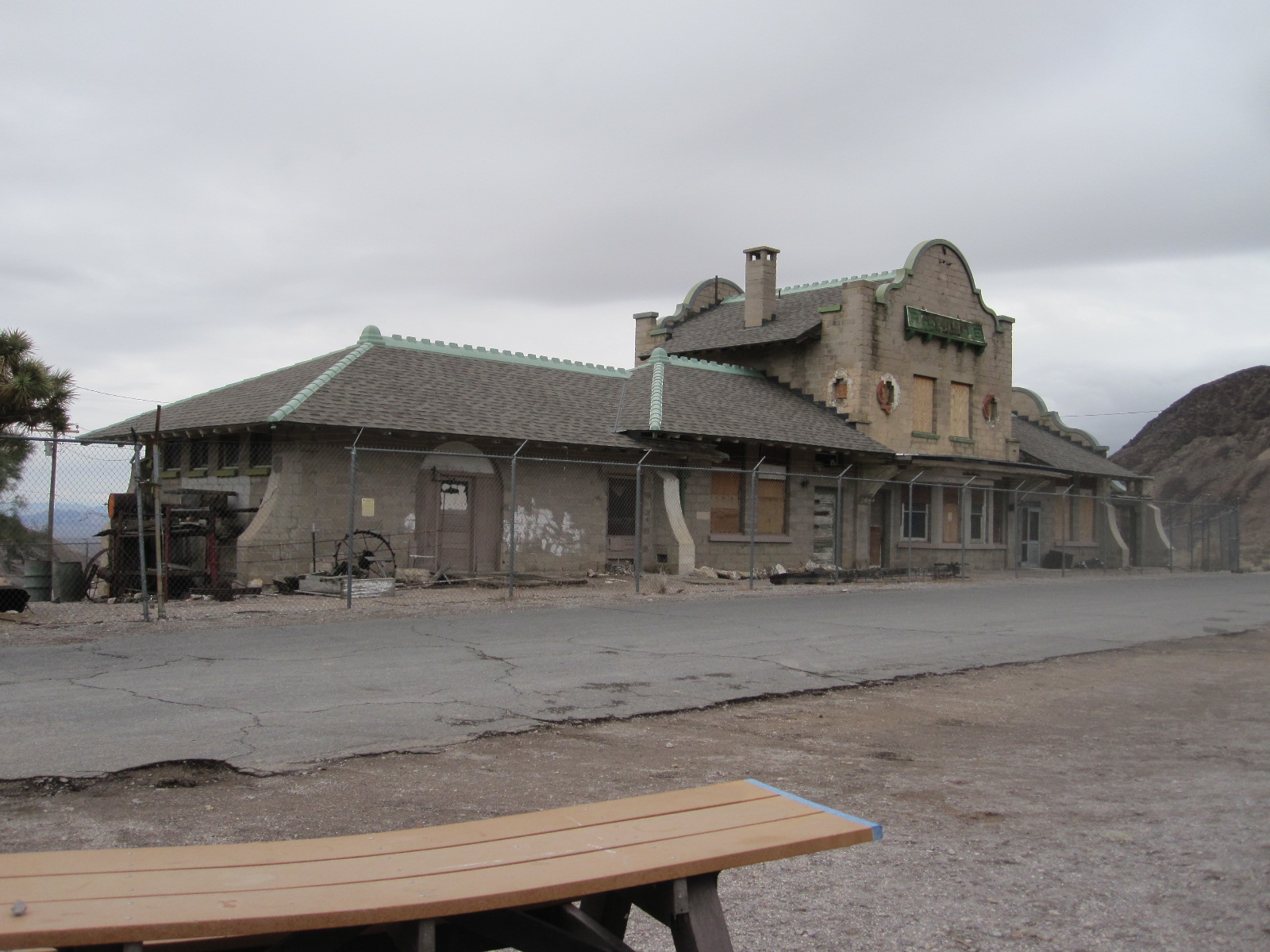
Rhyolite station
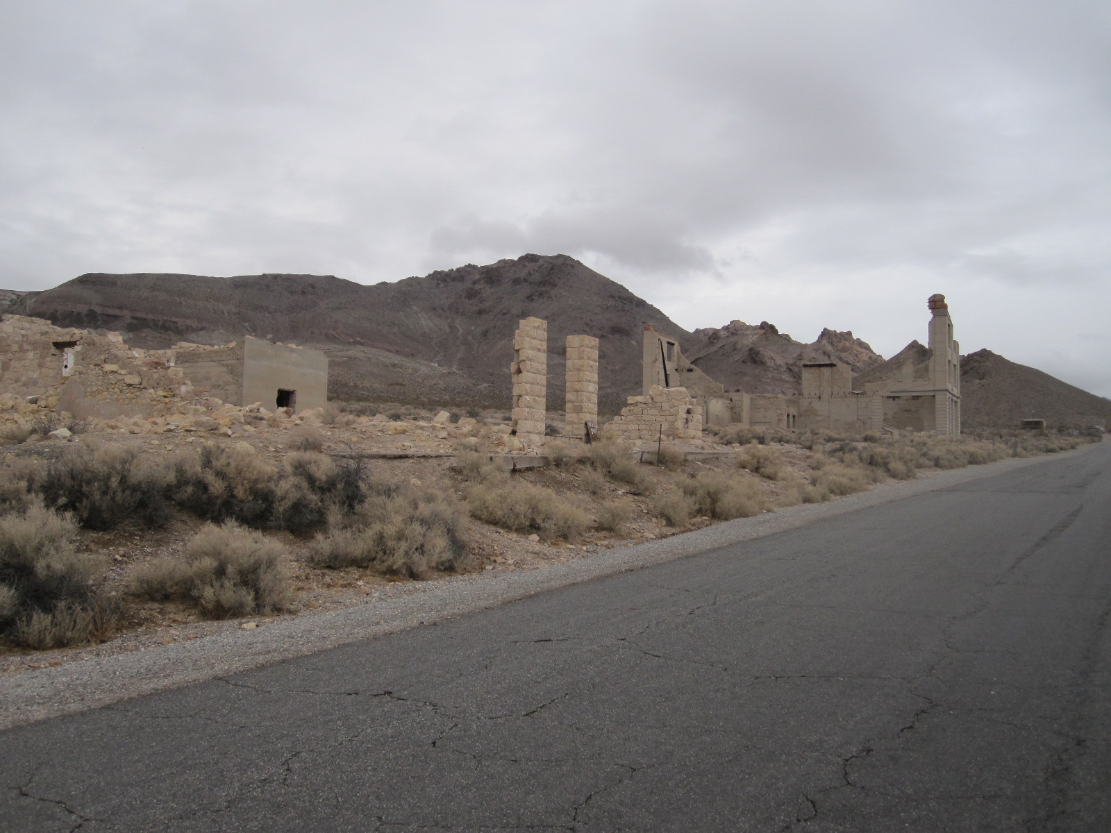
Rhyolite
Rhyolite was founded in about 1905 and faded away after 1920 when the gold mine ceased to be viable. It is hard tobelieve today, but the population rose to about 5000, and the town had a stock exchange, banks, schools and a railway station. Many of the buildings were relocated to Beatty a few miles away and the best remaining one is the railway station, which is easily recognisable as such although it is derelict. Some other buildings exist today only as facades or skeletal remains, and a few people still live in Rhyolite in ramshackle sheds or trailers.
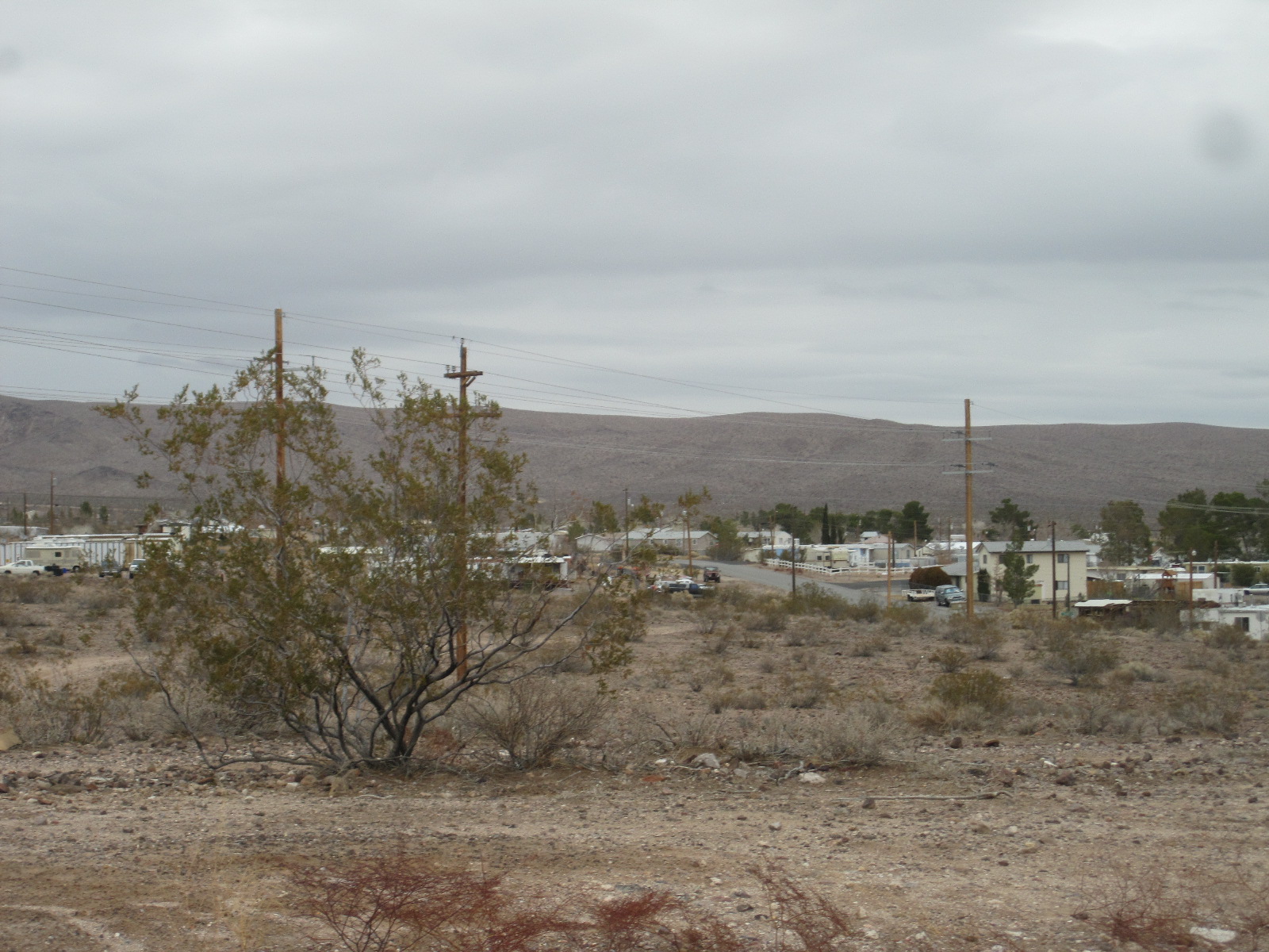
Beattie
On to Beatty, which to my mind is a wonderful place, mostly a shanty town of motorhomes, trailers and prefabricated structures, together with a few substantial buildings including the excellent Death Valley Inn, which provided my accommodation for the night. This is the only time I have stayed in a hotel with “Death” in its name, that being a subject that most people in the hospitality business tend to avoid. Beatty is a proper desert town, with vaguely-defined dusty streets and a general untidiness that I like.
Here and there are hints of the possible presence of alien beings, in the form of pictures of creatures with pear-shaped heads and big eyes from the world of science fiction. This is because Beatty is the closest significant place to the legendary Area 51 and the Nevada Test Site. Area 51 is an Air Force base at Groom Lake in the desert and was probably the most heavily guarded and secret government establishment throughout the Cold War period. Its existence was totally denied until 2005 and it was not shown on Google satellite maps, although it was on Russian ones. It was rumoured that alien beings and their artefacts were kept there, possibly linked to the ones involved in the famous Roswell Incident in New Mexico. The most advanced aircraft were developed and tested at Area 51 and some people believe that it was those that gave rise to the many UFO sightings in the region, rather than actual aliens. People often try to drive across the desert to Area 51, but eventually come to fences, barriers and signs warning of dire consequences for anyone who tries to breach the US Government security.
The Nevada Test Site is another matter. This was used for above-ground testing of 100 atomic bombs from 1951 to 1962, with very many more underground until 1992. The site is about 65 miles from Las Vegas (and much closer to Beatty), and the government used to announce the dates and times of the tests in advance. This became a major tourist attraction in Las Vegas, and improbable though it seems today, people would go out with dark glasses on to the balconies and rooftops to watch the explosion and mushroom cloud. There must be many thousands of people in the USA who have seen a live nuclear explosion.
Las Vegas
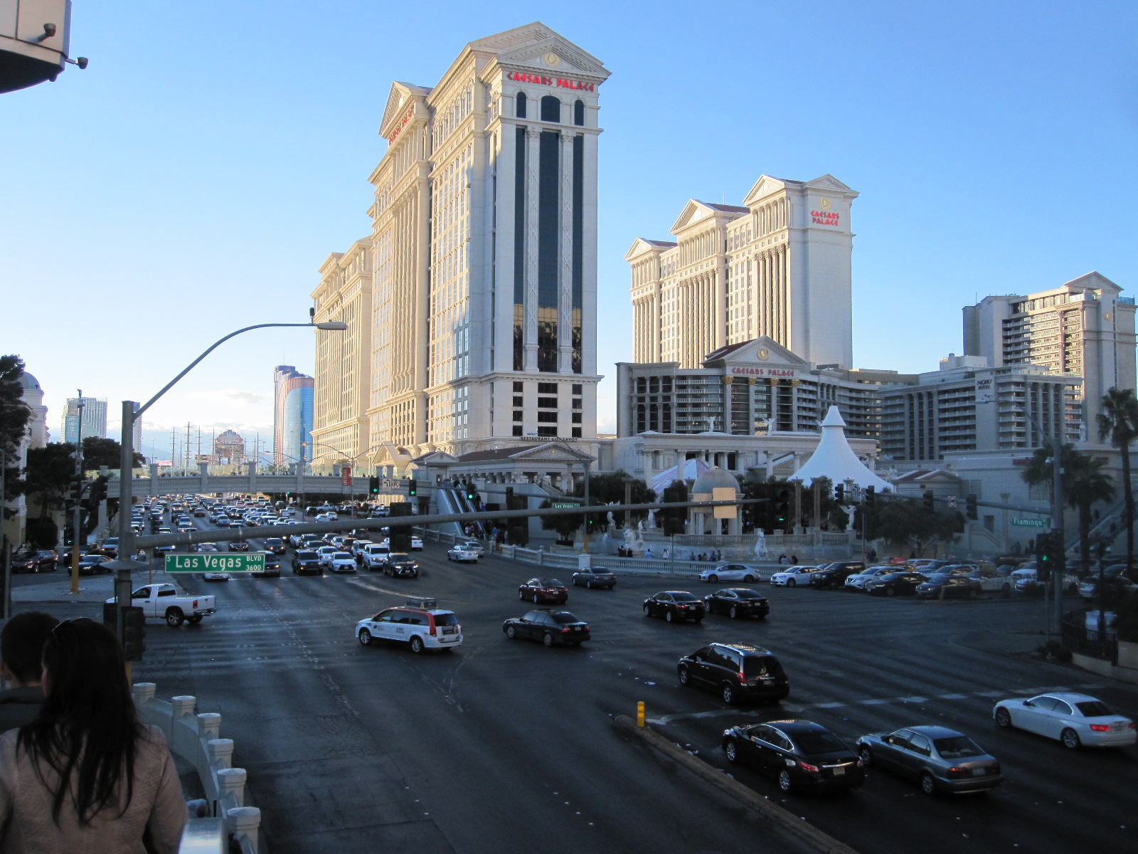
The Strip
So on to Las Vegas via highway 95. Everybody should go to Las Vegas, even if they know they wouldn’t like it, just to experience this monument to excess and example of man’s ability to transform a large area of almost barren desert into something totally ridiculous. It is all based around Las Vegas Boulevard, known as “The Strip”, a wide thoroughfare about 4 miles long lined with enormous hotels combined with casinos and shops, mostly themed in some way to attract visitors away from the competition.
My hotel, “The Stratosphere”, was towards the northern end of the Strip, some distance from most of the action, and takes its name from the tower that rises out of it to a height of 1149ft, claimed to be highest tower west of the Mississippi. This place was a completely new experience for me, a totally self-contained world in which it was possible to disappear for any length of time, with 2,427 rooms, a vast casino, many restaurants and fast food places, a gym, a pool, plus lots of shops of all sorts. It took me quite some time to fathom out how to get from the enormous car park to the reception. There were four banks of lifts in different parts of the building, and the one that served my room had eight lifts in it.
The northern end of the Strip has a reputation for being seedy, and some of the people who wrote reviews of the Stratosphere said it was not safe to walk in the street outside. It was early afternoon when I set off to go downtown on the Metro, which runs behind the buildings on the other side of the Strip and the station was about 300 yards away. Walking to the station was also said to be risky, but by American standards I thought it was OK, though there were a few slightly unsavoury-looking characters around as there usually are in American cities. The best answer is to be not too savoury-looking yourself, and just in case, I wore my £4 watch.
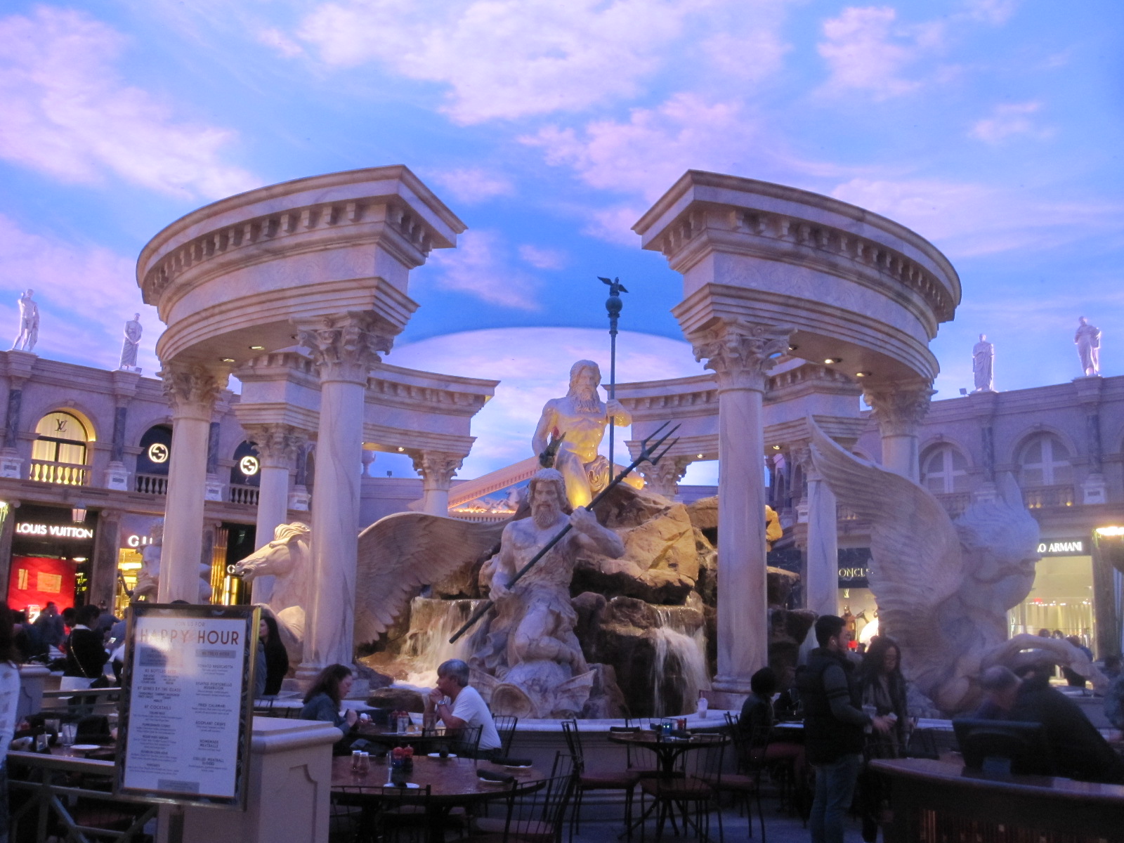
Trevi Fountain
It was New Year’s Day, and the main part of the Strip turned out to be uncomfortably crowded. The general layout of the casinos follows a standard pattern. Those that are set back from the road have an area in front laid out according to the theme, i.e. musical fountains for Bellagio, Eiffel Tower and Arc de Triomphe for Paris, bridges and canals for the Venitian. The main doors usually open straight into the casino which may continue some aspects of the theme, leading through to the shops and restaurants which will also be in themed streets and squares. In some cases there are spectacular displays with flames rising high into the “sky”. The blue skies and white clouds are cleverly done, and at times it is easy to forget that the whole thing is indoors.
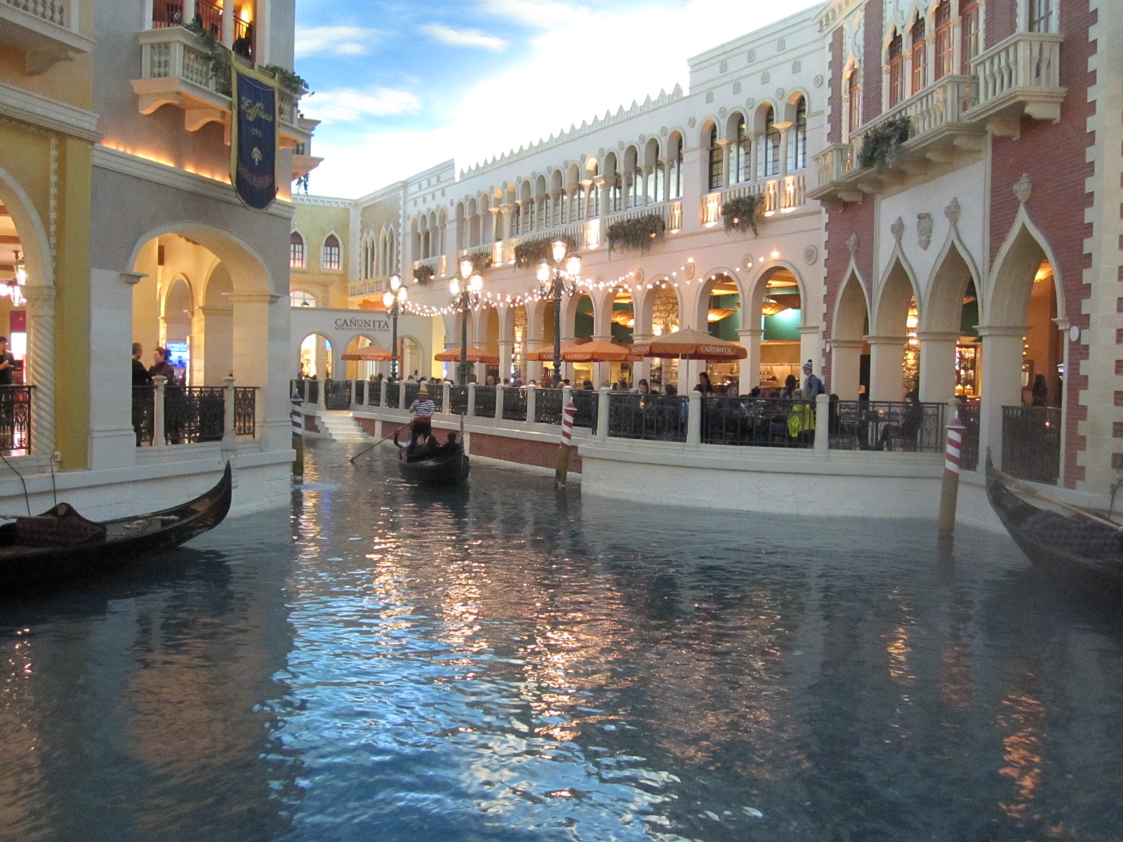
Venice
The next day I suffered a setback due to failure of the Metro in the morning. There are supposed to be regular buses on the Strip but they didn’t seem to be operating and I finished up paying a fortune for a taxi to the LINQ casino with its famed car collection. Formerly known as the Imperial Palace collection, this was one of the best car museums in the world, but sadly, like the one at Blackhawk, it has been watered down and is now a classic car dealership with far less interesting content.
The Strip was much less crowded than before and the rest of the day was spent looking at some of the most entertaining themed malls in the casinos This entailed crossing the road several times using high bridges served by escalators up and down, about half of which were out of order, a source of complaint by many people. Mr.Trump says he will get America working again, so perhaps he could start by sorting out the escalators and Metro in Las Vegas.
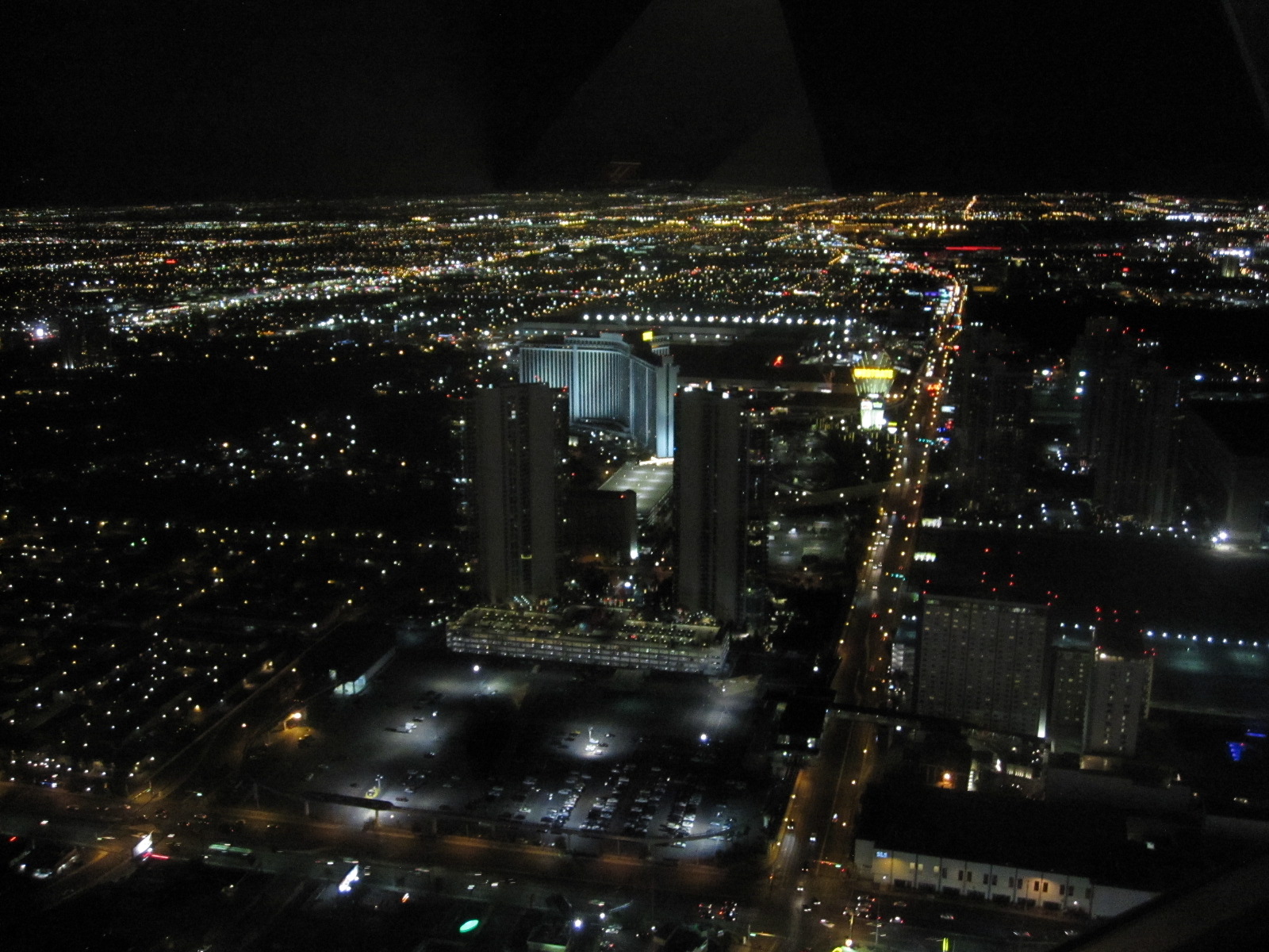 As a guest in the Stratosphere I was entitled to a 75% reduction in the price of a ticket to go up to the observation platform of the tower, with its 360 degree view over the city and surrounding area, so I went in the evening and was not disappointed. Outside, adjacent to the observation platform, is a ‘ride’ consisting of a sort of rack on which, if you felt so inclined, you could sit with your legs dangling and be shot forward into empty space 1100ft above the bright lights of Las Vegas. Strangely, I did not feel so inclined, but plenty of other people did.
Hoover Dam, Route 66 and London Bridge
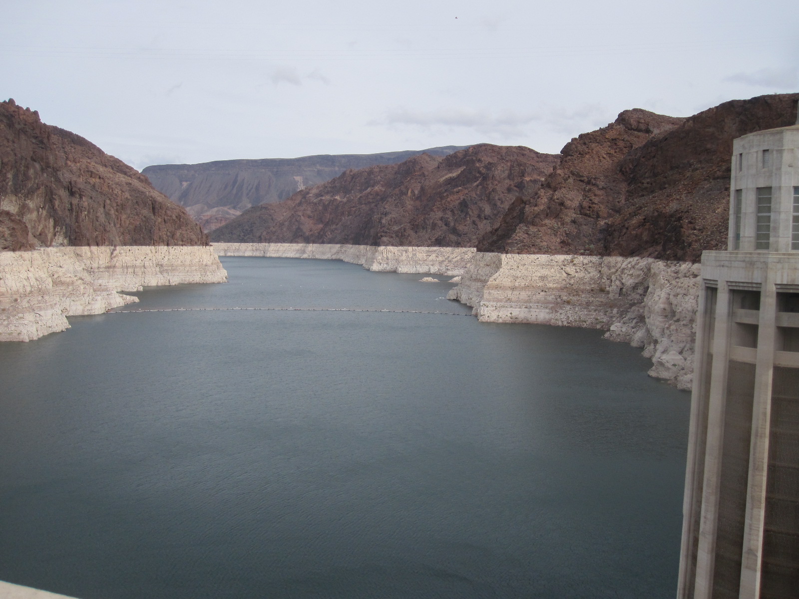
Colorado River at dam
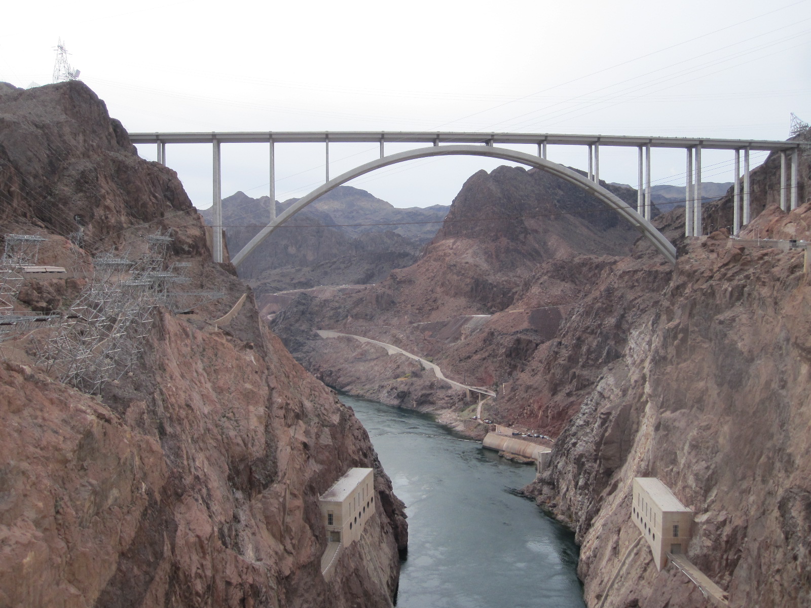
River below dam
Back on the road the next morning, the first port of call was the Hoover Dam, a monumental feat of 1930s engineering situated in the Black Canyon of the Colorado River. It incorporates a hydro-electric power station, and until recently the main highway US93 ran along the top of the dam wall, crossing from Nevada into Arizona. The architecture is very 1930s, with a concrete tower in each State showing the local time (one hour difference), and facing onto the road are massive elaborate brass doors that are kept highly polished. In 2010 US93 was transferred from the dam wall to a new and spectacular bridge that is fully in keeping with the existing structures.
Moving on southwards from the dam on US93 took me into Arizona and through the Lake Mead National Recreation Area to Kingman, an old Route 66 town. From there, avoiding the modern State Road 66 which is also Interstate 40,
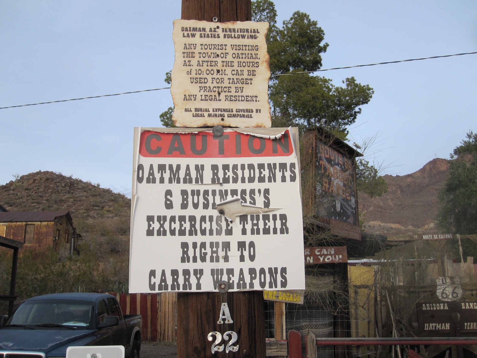
Nice place. Read top.
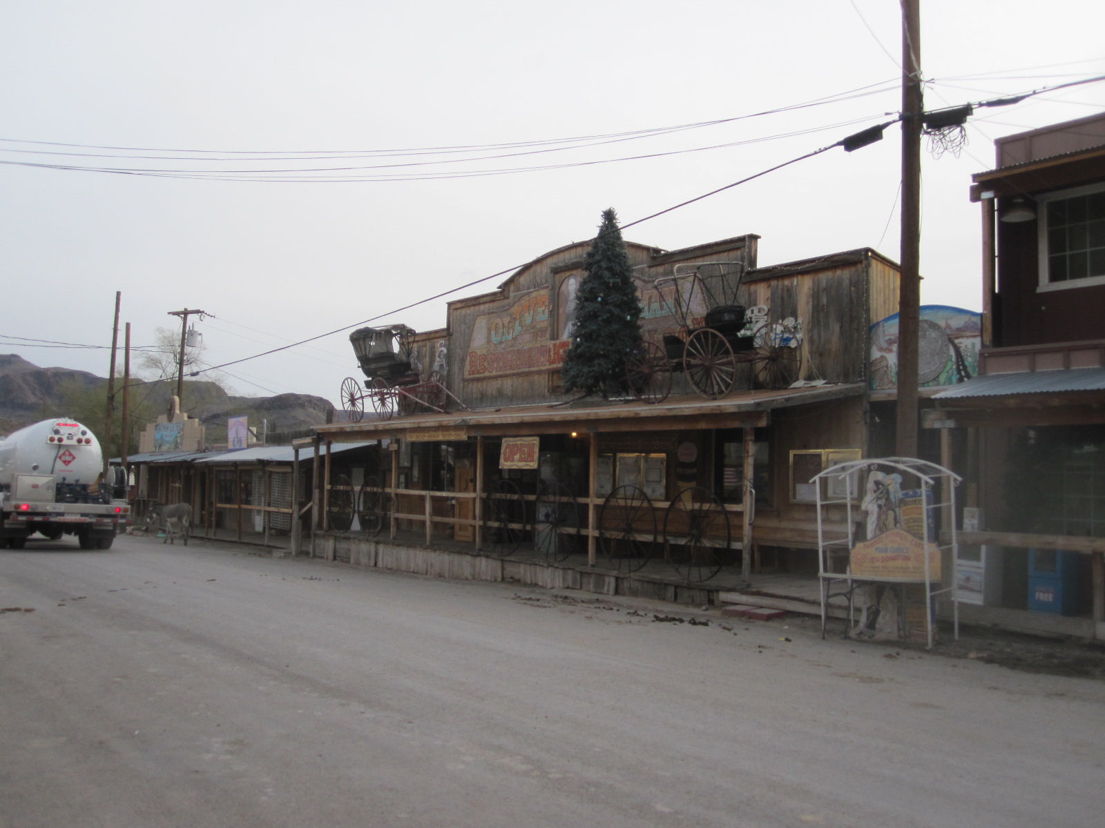
Oatman
I took the old road over the hills to Oatman . This stretch of the old Route 66 must be one of the least changed anywhere and some of it is like a narrow twisty Welsh mountain road. Oatman itself is very tourist orientated but quite authentic, with burros (small donkeys descended from pack animals) wandering about the main street. They are generally friendly, in the hope of getting something to eat, but there are notices advising that they can turn nasty. Oatman must be one of the most original Western towns left, and the gold mine has actually reopened from time to time in tune with the price of gold. Visitors generally receive a better welcome than a sign in the street might suggest.
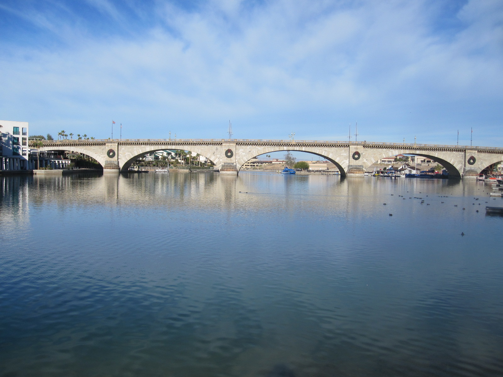
London Bridge
Continuing south through places with unlikely names such as Golden Shores, Catfish Paradise and Desert Hills I arrived at my night stop in Lake Havasu City. This is perhaps best known as the home of the old Lo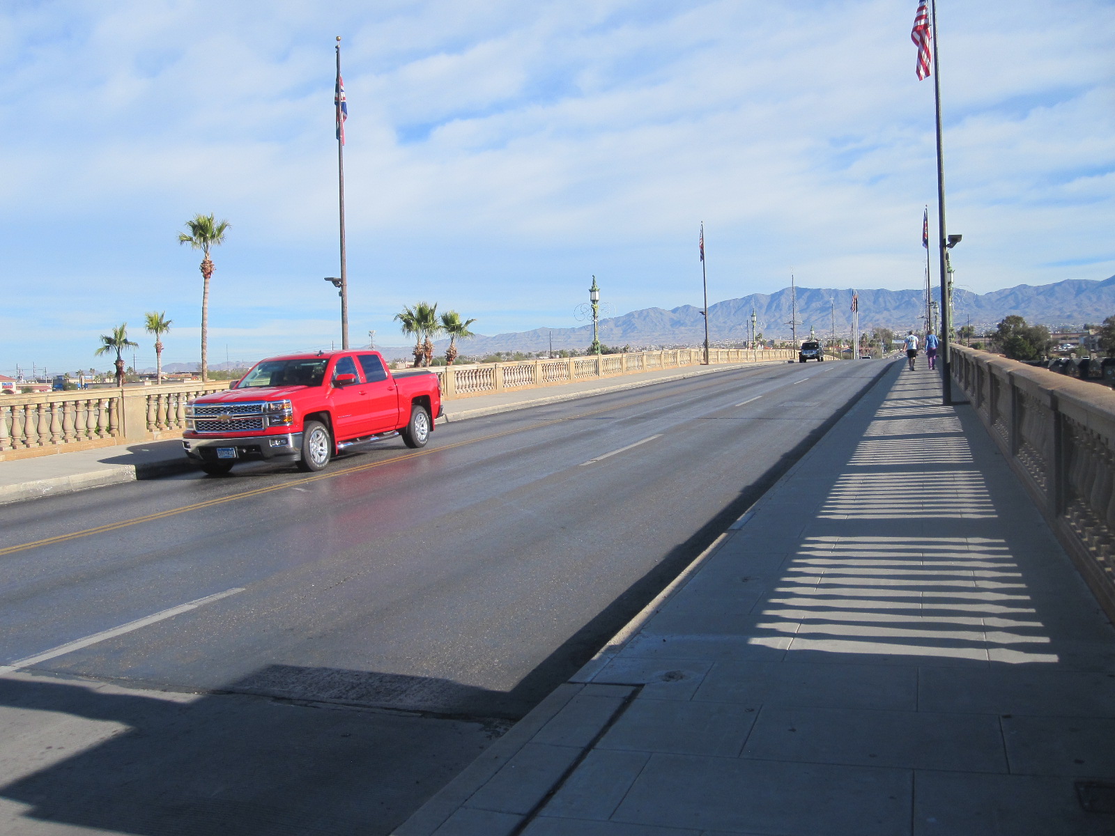 ndon Bridge which was transplanted from England brick by brick in the late 1960s, and full details can be found elsewhere on this site under ‘London Bridge Arizona’. To my surprise I could actually see the bridge from my room in Motel 6, and the next morning I went for a walk around and over it with my camera. It is clearly a major attraction, and lots of people, young and elderly, were taking their morning exercise by walking or running on the paths around the bridge and adjoining lake. Before leaving town I also drove over it but still couldn’t identify the place where I broke down in 1961.
Old Route 66 to Barstow
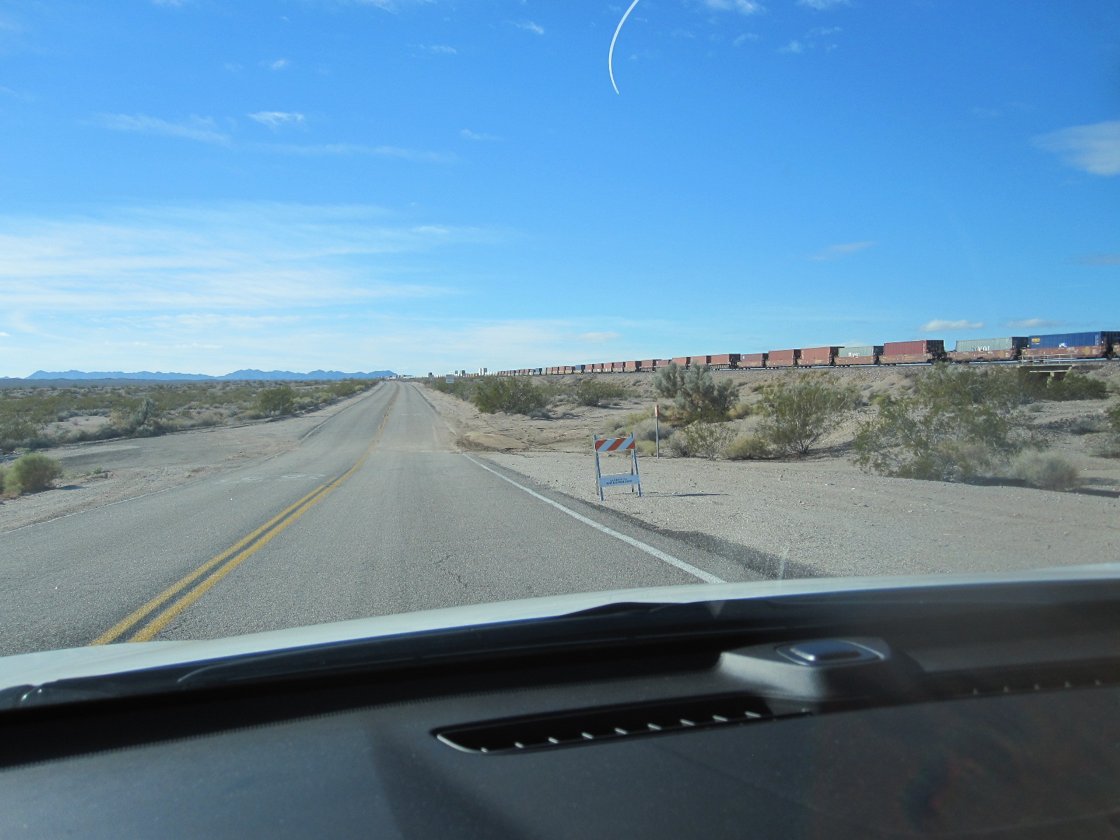 Originally I had intended to go down to Yuma and drive along the Mexican border, but decided that it was simply too much driving, so I would go back up to a town called Needles and follow the old Route 66 to Los Angeles. In Needles I managed to get a map of the ‘Mother Road’, but had some difficulty in getting on to it. Eventually I found a signs to Goffs, which was definitely on Route 66, and nearby was a board with a handwritten notice stating FLOODED. It looked as if it had been there for some time, and everything was very dry, so I decided to carry on.
The terrain became desert-like but with humps and dips in the road, the humps being just large enough to hide a car and the ground on either side in the dips looked like dried river beds. It was clear that in wet periods considerable quantities of sand and mud had been washed on to the road, and in fact I discovered that these low points are known as ‘washes’. In periods of heavy rain, which occur in the winter, a considerable amount of water can accumulate in the dips and strict advice is not to attempt to drive through it, because it is often deeper than it looks. The problem is, of course, that if you encounter such a flood and turn back the dips behind you may also have flooded and you will be trapped, probably at least for some hours. Just to get me worried, at one low point there was water up to the road on both sides and the sky in front became black. It started to rain, but fortunately came to nothing.
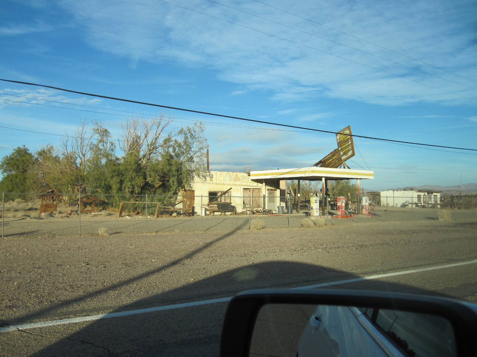
Derelict
At Fenner, where route 66 crosses Interstate 40, the road that supplanted it, there was some development, but on the whole it was not a particularly interesting drive. The next stretch, the loop through Essex, Chambless, Amboy and Bagdad to Ludlow was better, with a number of abandoned relics of the past and a service station in Chambless advertising FLYING SAUCER REPAIRS. It would be interesting to know how many they have done and how they found out how to do it. Perhaps they have alien mechanics. There was little traffic on this road and I was doing 60mph most of the time. When the trade fell off after I-40 was opened the existing businesses were just left as they stood with the signs falling down and buildings turning into hollow skeletons. One notable place still more or less complete is the 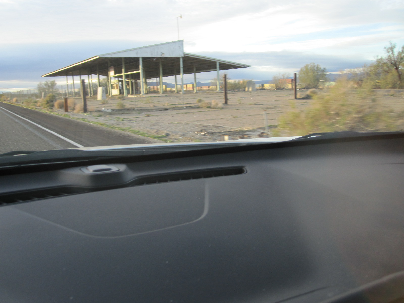 Bagdad Café, the location of a 1987 film.
At Ludlow the old road runs alongside I-40, but is so rough-surfaced with small potholes like a Russian road that I moved across to the freeway. As it was only about 50 yards away I not feel that I was cheating too badly and anyway before reaching my night stop in Barstow I moved back to the proper route which was then in better condition. Barstow is a desert town famous as the base for motor sport events and adventure driving, but otherwise doesn’t have a lot going for it.
A failed day ending in shops
From boring Barstow I continued on Route 66 to Victorville where I had a minor problem with the car. After breakfast sitting next to a madman in a roadhouse I came out to find that the too clever by far car was indicating low pressure in one rear tire. The nearest tire shop provided no service at all but the man in the next one was very helpful, checking the tire and blowing it up to the correct pressure for no charge.
Following a short stretch of freeway I was back on the old 66 to San Bernadino, where there used to be some good motorcycle shops. The city centre was quite smart with traditional slightly Gotham city-style civic buildings set among trees but with no shops of any sort and few people around. Parking was free and easy. A brief visit to the library proved fruitless as far as information about motorcycle shops was concerned, the only ones being miles away.
The rest of the day was spent driving along the enormously long Foothill Boulevard (still Route 66, mostly built-up) and shopping before finding America’s Best Value Inn in Rancho Cucamonga. Not a very successful day.
A good museum, Hollywood, LA traffic madness and a family meeting
The plan for the next morning was to drive down to the Petersen Automotive Museum on Wilshire Boulevard, have another look at the Hollywood area and meet my late cousin’s son with his family for a meal in the evening. From my hotel to the museum was about 40 miles including a dedicated freeway from Pasadena towards the city centre, and before setting off I planned the route carefully. The driving I had done so far in LA had been reasonably civilized, but I knew it was not always like that. There are parts of the city that are effectively no-go areas for strangers and in the rush hour the traffic is either standing still or going like hell.

Petersen Museum
I was late enough to avoid the worst of the traffic and my route to Wilshire Boulevard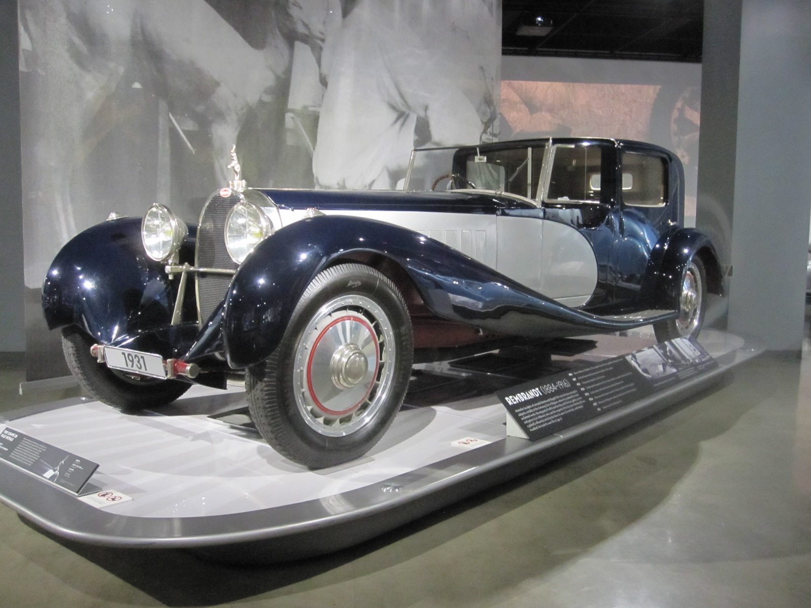 worked well. As 0pposed to most of the area, Wilshire Boulevard has some interesting Art Deco buildings, although it was in a state of chaos due to the building of a Metro. The Petersen Museum is in the part known as Museum Mile, along with the La Brea Tar Pits, the LA County Museum of Art, and a number of other art centres.
Unlike the other car museums on this trip the Petersen exceeded expectation, with a special display of Bugattis, mainly from Peter Mullin’s collection in Oxnard, and many other outstanding cars. It also had simulators on which you could drive various cars in races on well-known circuits. I finished up in an original VW Beetle at Laguna Seca, and after several races involving multiple collisions caused by me I started to feel sick and had to give up. Some people are very good at these things, but I find it hard to come to terms with the complete lack of G forces corresponding to the visual image.
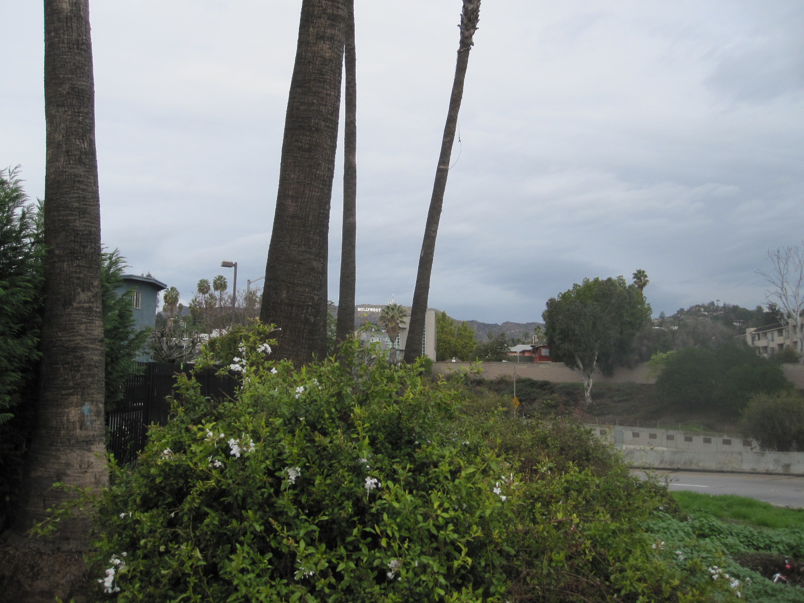
Hollywood sign
Hollywood was still busy but at least this time I managed to get a photo of the famous sign high up on the hill above. By the time I got to the Pasadena Freeway it was rush hour and a chance to experience LA traffic at its most furious. The freeway is a concrete road between high walls with almost continuous bends and hills, and it was clear that everyone except me drove it every day and knew it well. It was actually quite like a real life version of the Beetle race on the simulator and I was quite hard pressed to keep up, although I managed to avoid causing a pile-up.
In the evening I met my cousin’s son and his family for a meal at Lucky Baldwin’s English pub in Pasadena. Lucky Baldwin was not English, but was a very successful businessman and flamboyant character in California in the second half of the 19thcentury whose name became attached to a multitude of ventures. The pub is probably about as close to an English one as you could get in that part of the world, with good food (including fish and chips) and friendly staff.
Santa Monica and well-organised LAX

Santa Monica
On the way to the airport the next day I took a better look at Santa Monica, which is a really smart town with a good beach and a strong emphasis on cycling. Many people were taking advantage of the recently marked cycle lanes, but I got the feeling that they were not universally popular and were leading to some friction between different road users.
Before taking the car back I just had time to call in to the well-run and friendly Automobile Driving Museum in El Segundo close to the airport. Taking the car back is always a slightly daunting prospect because it can often be difficult to find out where to go, but LAX is a model example of how it should be done with all the car rental bases close together and clearly signposted.